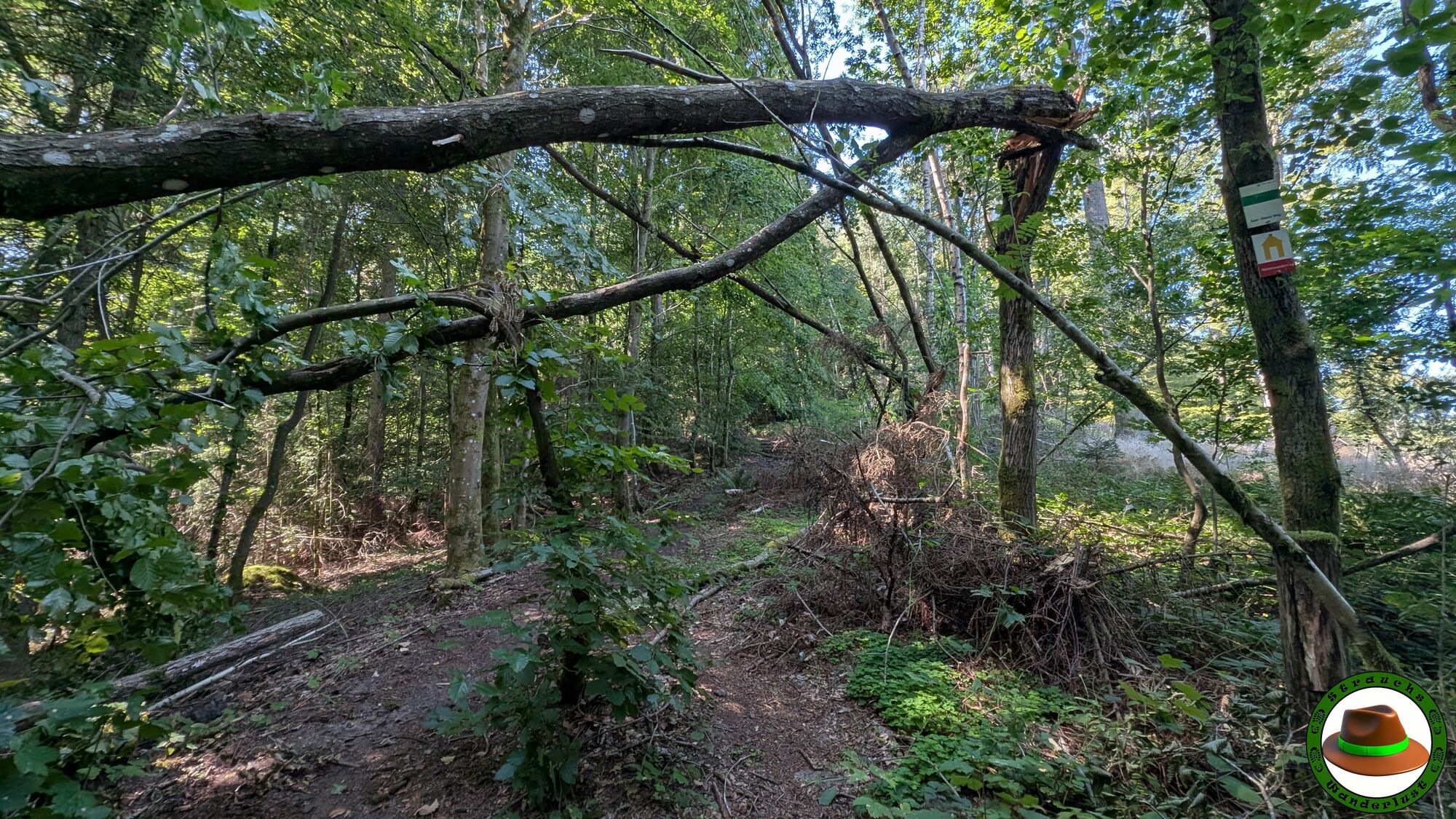
St. Ingbert - Kahlenberg
medio
Consigue este tour en tu móvil
St. Ingbert - Kahlenberg
medio
Senderismo
10,02
km
Escanee el código QR e inicie la navegación en la aplicación bergfex

Senderismo y rastreo


St. Ingbert - Kahlenberg
medio
Distancia
10,02
km
Duración
02:40
h
Ascenso
232
m
Nivel del mar
244 -
377
m
Descarga de pistas
St. Ingbert - Kahlenberg
medio
Senderismo
10,02
km
Ruta
Pandori Palace 2
(250 m)
Restaurante
1,4 km
St. Ingbert
(229 m)
Ciudad
3,7 km
Kahlenberg
(371 m)
Cumbre
4,2 km
Ruta
St. Ingbert - Kahlenberg
medio
Senderismo
10,02
km
Pandori Palace 2
(250 m)
Restaurante
1,4 km
St. Ingbert
(229 m)
Ciudad
3,7 km
Kahlenberg
(371 m)
Cumbre
4,2 km
Autor
Proporcionado por Bergfex Tour Generator
Compartir gira
St. Ingbert - Kahlenberg
medio
Senderismo
10,02
km
Error
Se ha producido un error. Por favor, inténtelo de nuevo.
Aún no hay opiniones
Rutas populares en los alrededores
-
5,0
Caminos ajenos/Recorrido de senderismo Karl-May-Sulzbacher Schleife
pesadoSendero temático 14,3 km -
5,0
Panoramatrail Ottweiler
medioTrailrunning 13,1 km -
5,0
`Kirkeler Tafeltour´
medioSenderismo 8,53 km -
5,0
Ruta de mountainbike 3 - Ruta depósito de escombros Reden
medioMountainbike 32,5 km -
4,0
Wilder Netzbachpfad
medioSenderismo 9,25 km -
5,0
Wells Path
medioSenderismo 14,7 km -
5,0
Räuberweg
medioSenderismo 3,36 km -
4,0
Adebar-Runde
luzCiclismo 24,7 km -
4,0
Steinberg Runde
medioSenderismo 4,71 km -
Recorrido por la ciudad de Saarbrücken
luzSenderismo 2,47 km
Senderismo y rastreo

Más de 550.000 sugerencias de excursiones, mapas detallados y un intuitivo planificador de rutas hacen de esta aplicación una herramienta imprescindible para todos los amantes de la naturaleza.

No se pierda las ofertas y la inspiración para sus próximas vacaciones
Suscribirse al boletín de noticias
Error
Se ha producido un error. Por favor, inténtelo de nuevo.
Gracias por inscribirse
Su dirección de correo electrónico se ha añadido a la lista de correo.
Viajes por Europa
Austria
Suiza
Alemania
Italia
Eslovenia
Francia
Países Bajos
Belgium
Polonia
Liechtenstein
República Checa
Slovakia
España
Croacia
Bosnia y Herzegovina
Luxemburgo
Andorra
Portugal
Iceland
United Kingdom
Ireland
Greece
Albania
North Macedonia
Malta
Norway
Montenegro
Moldova
Kosovo
Hungary
San Marino
Romania
Estonia
Latvia
Belarus
Cyprus
Lithuania
Serbia
Bulgaria
Monaco
Denmark
Sweden
Finland