



Welterbesteig Oberes Mittelrheintal Trail Section 4 Bacharach - Oberwesel

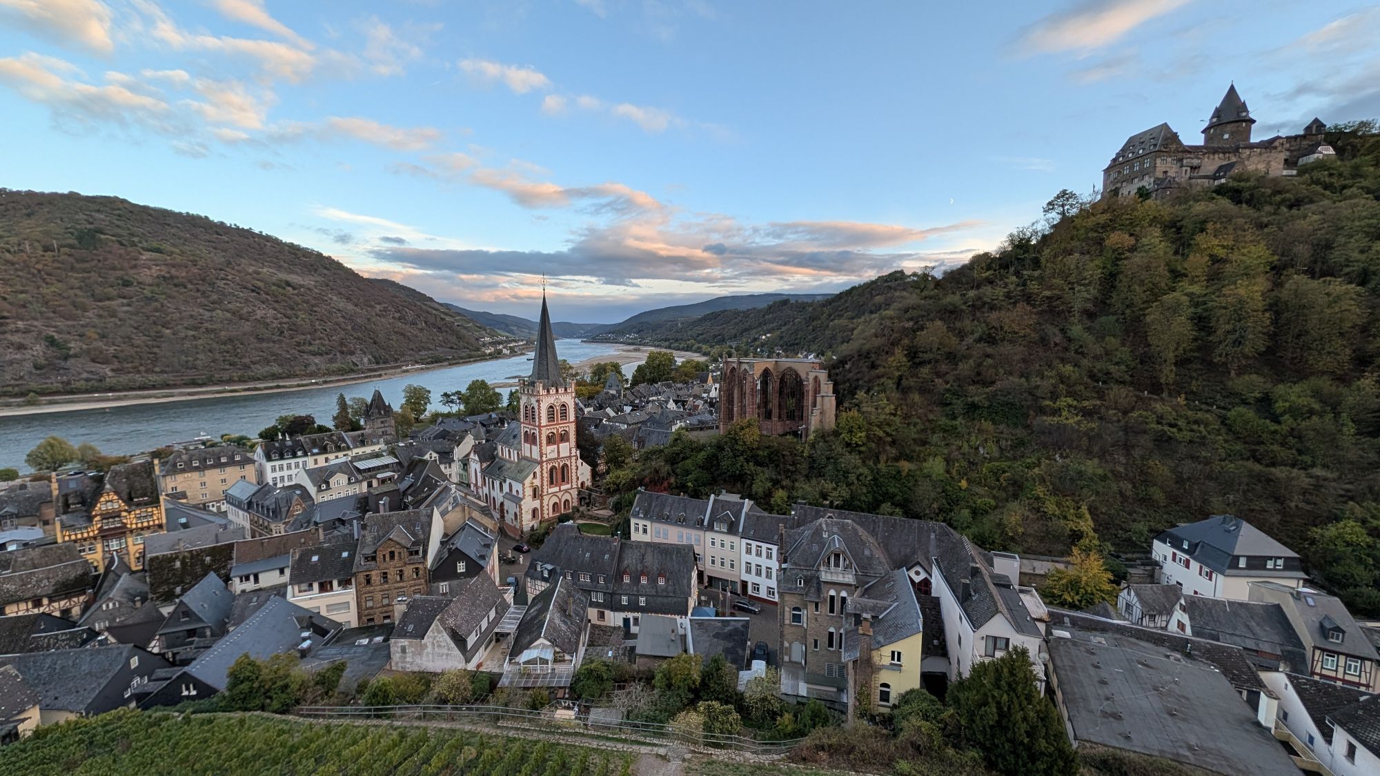
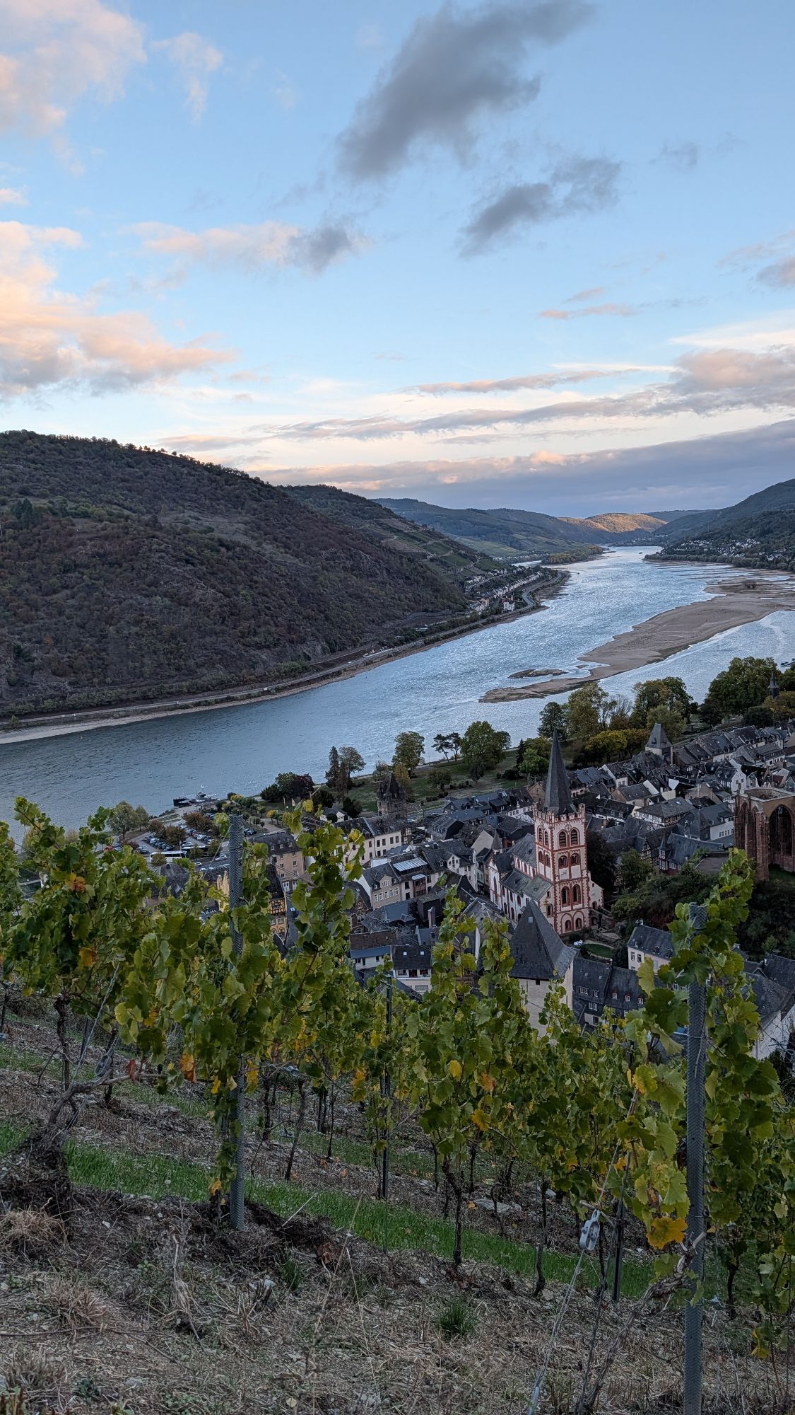
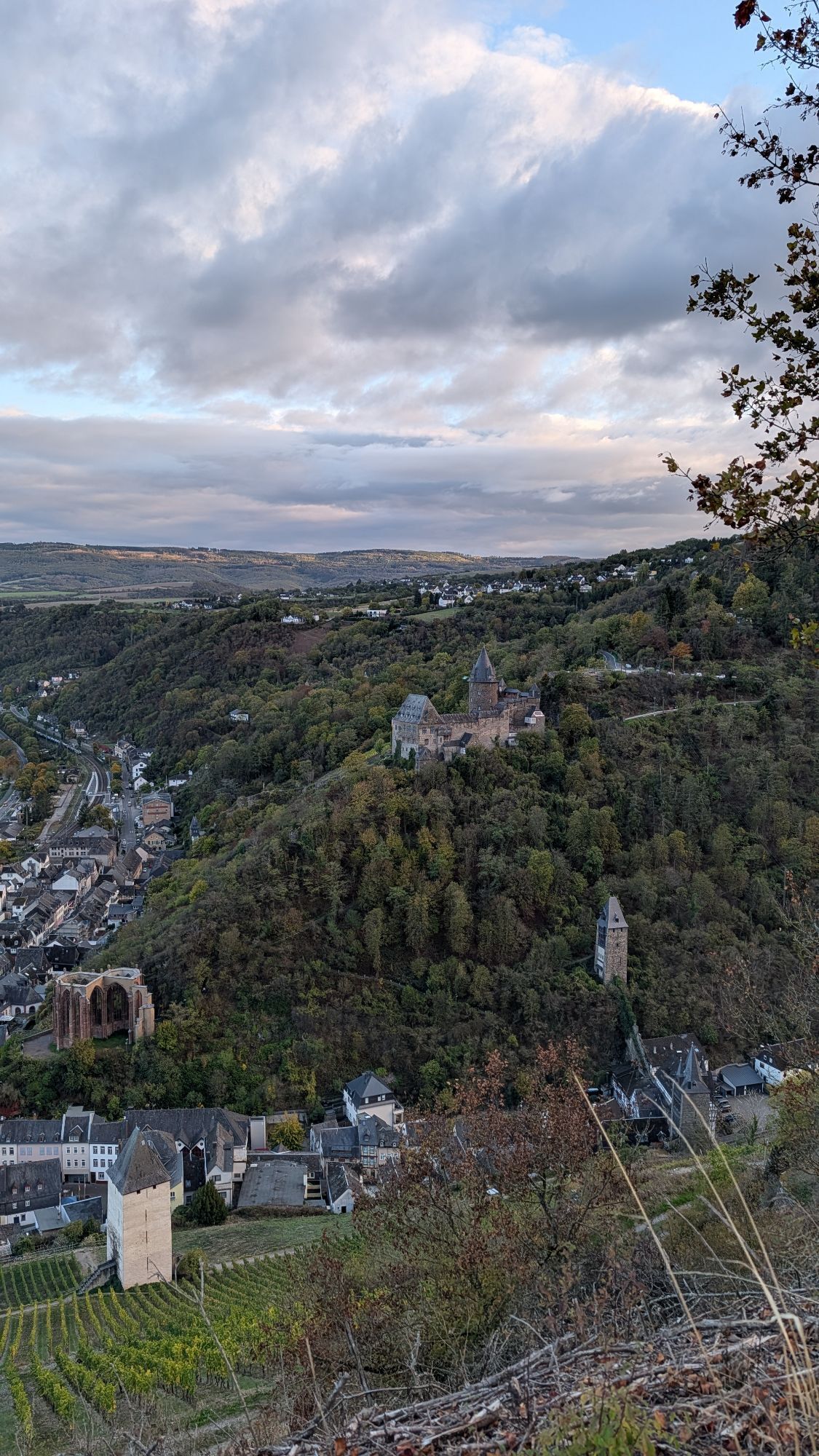
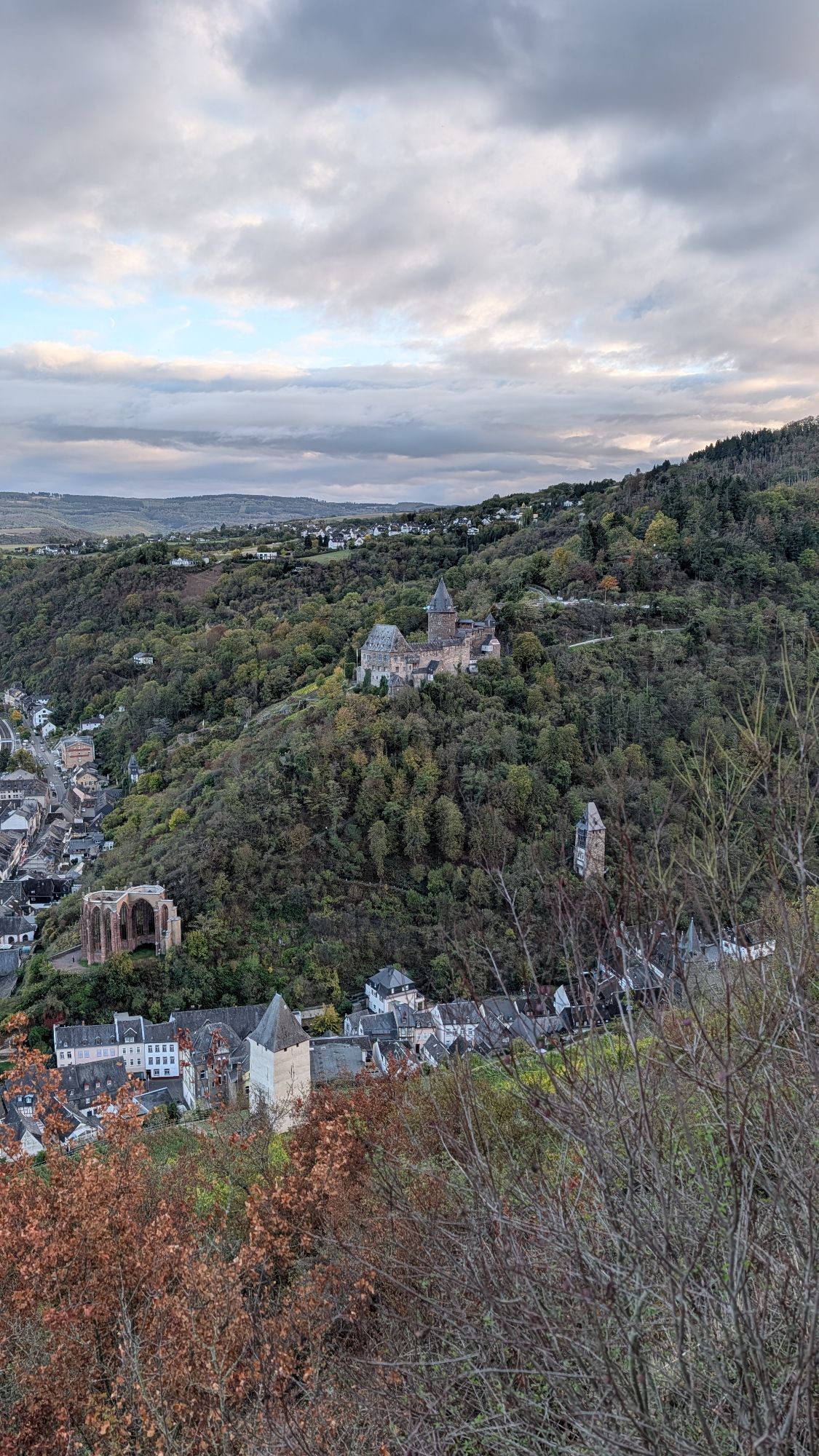
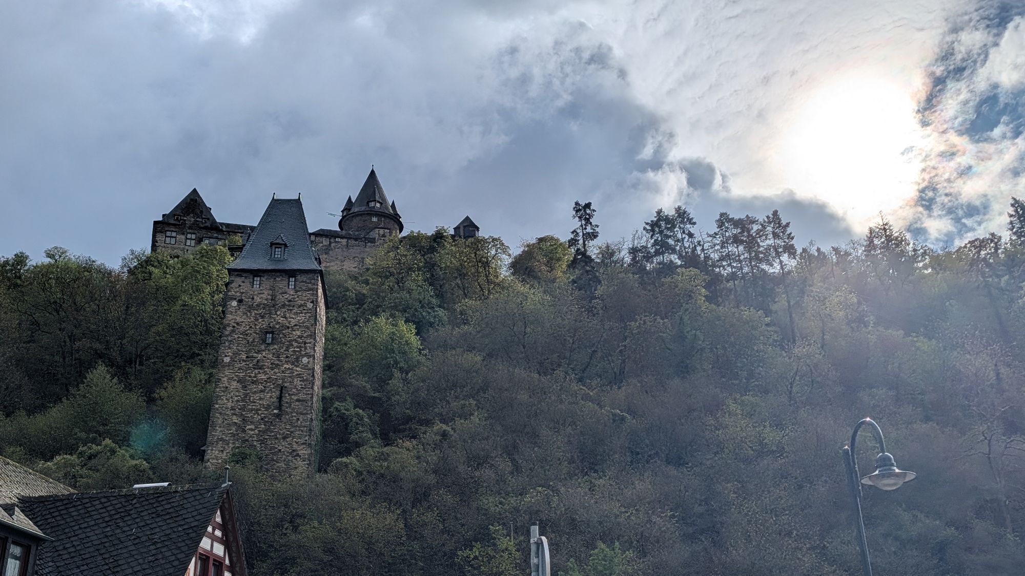

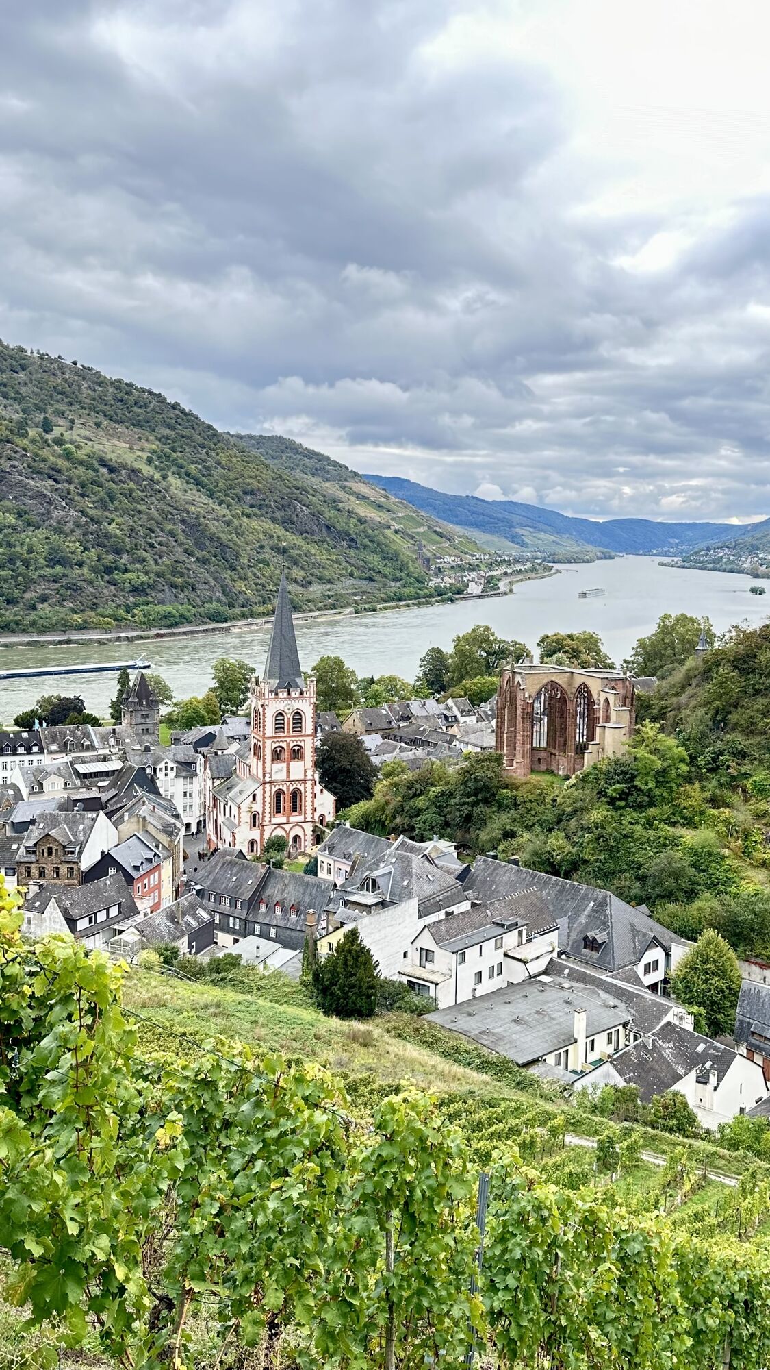
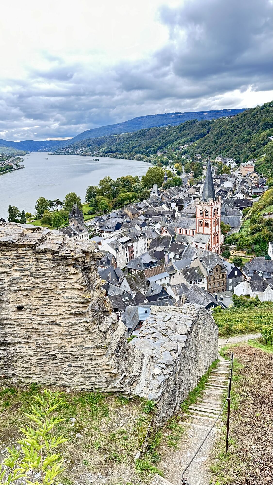
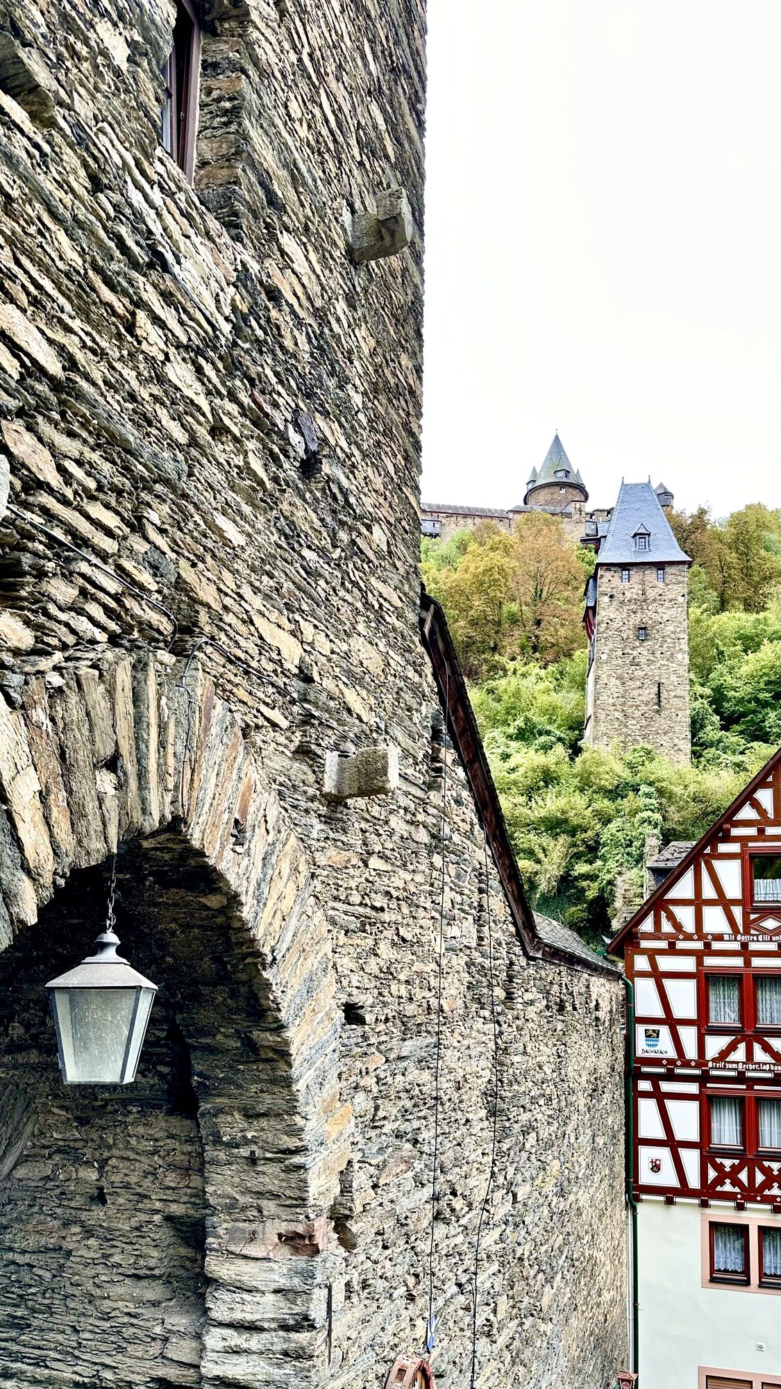
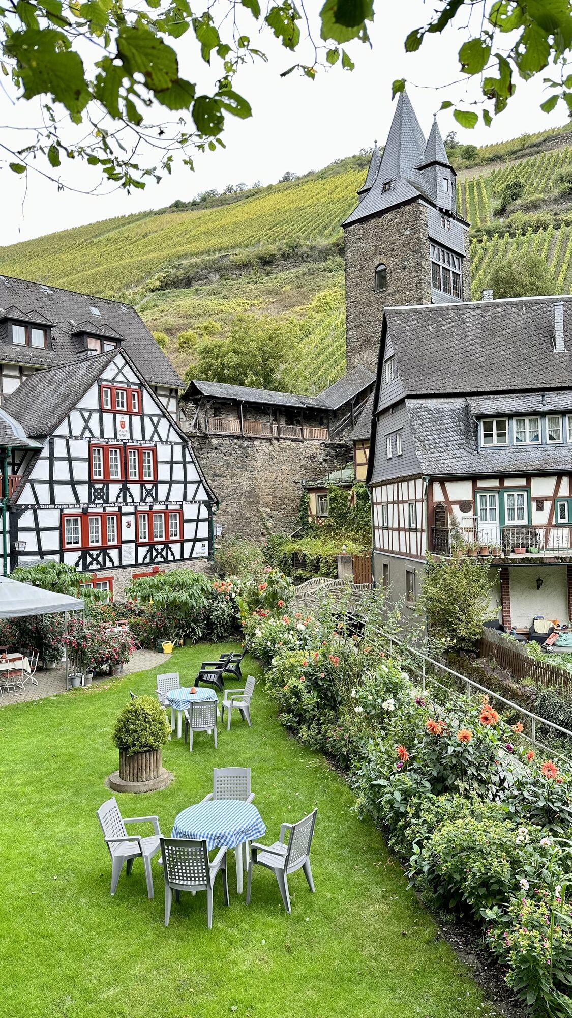
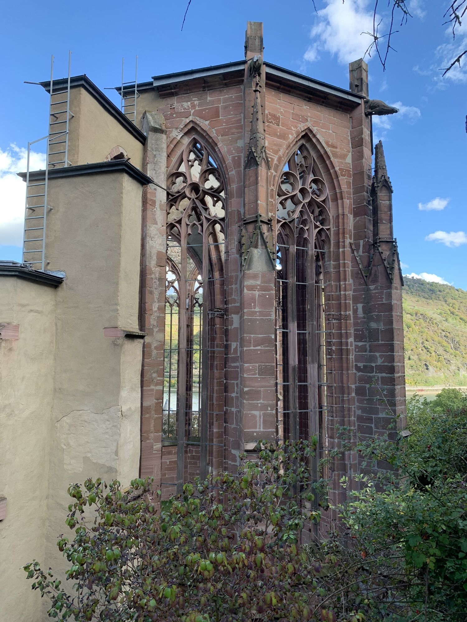
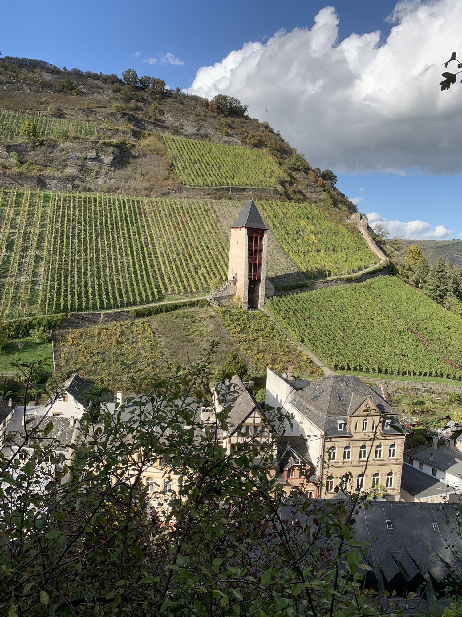
The World Heritage Trail is now about 36 km "old" without access roads, and the path climbs crisply through vineyards along the old city wall. A wonderful view back is already possible at Heinrich-Heine-Blick....
The World Heritage Trail is now about 36 km "old" without access roads, and the path climbs crisply through vineyards along the old city wall. A wonderful view back is already possible at Heinrich-Heine-Blick. Also visible: the Rhine island of Heyles'en Werth, one of the smallest independent individual vineyards: wine from the Rhine, so to speak.Once you have reached the heights, the stage is more leisurely, passing the top vineyard "Bacharacher Hahn", among others. The fact that mining played a role in the Middle Rhine Valley in addition to viticulture is also increasingly noticeable on this stage, which includes three former slate quarries. Often the focus of the numerous vantage points and rest stops: Kaub, the Blücherstadt on the opposite side of the Rhine with Gutenfels Castle above and the Zollburg Pfalz(-grafenstein) in the middle of the Rhine.Schönburg Castle above Oberwesel marks the start of the finish in the town of towers. Parts of the accessible town wall with a total of 16 defence towers form the end of the stage.

Good shoes and sufficient drinks are obligatory.
Autobahn:
Bingen: A 60 exit Bingen-Ost
Bacharach: A 61 exit Rheinböllen
St. Goar: A 61 exit Emmelshausen
Oberwesel: A 61 exit Laudert
Hirzenach: A 61 exit Emmelshausen
Boppard: A 61 exit Boppard-Buchholz
Rhens: A 61 exit Paffenheck
Koblenz: A 61, A 48
Since there is a railway station in almost every town on the left bank of the Rhine, the tours can be planned individually. This also makes it very easy to hike from a fixed location.For your orientation, here are the journey times between the individual stations by regional train:Bingen HbF - Techtingshausen: 4 min.Trechtingshausen - Niederheimbach: 4 min.Niederheimbach - Bacharach: 3 min.Bacharach - Oberwesel: 4 min. Oberwesel - St. Goar: 6 min.St. Goar - Hirzenach: 4 min.Hirzenach - Bad Salzig: 3 min.Bad Salzig - Boppard: 4 min.Boppard HbF - Spay: 5 min.Spay - Rhens: 3 min.Rhens - Koblenz HbF: 7 min.Bingen HbF - Koblenz HbF: 48 min.
Bacharach: On the B9 Rhine bank
Oberwesel: B9 town wall and Rhine bank
St. Goar: On the B9 Rhine bank
Hirzenach: Rheinstraße
Boppard: Marienberg parking deck, Remigiusplatz Mühltal
Simply continue the city wall tour in Oberwesel (3.7 km).Interesting for individual route planning: the right side of the Rhine is also particularly well connected in this stage, because after about half of the route, a descent to the ferry to Kaub is possible.

Rutas populares en los alrededores
-
4,8
Traumschleife Mittelrhein
pesadoSenderismo 14,7 km -
5,0
Kaub - Burg Herzogenstein - Spitznack - Hasenberg
pesadoSendero de largo recorrido 22,1 km -
4,6
Panoramaweg St. Goar
medioSenderismo 8,47 km -
4,5
Durch den Kammerforst zum Teufelskadrich
luzSenderismo 12,3 km -
3,7
Traumschleifchen Baybachquellen
luzSenderismo 6,22 km -
4,3
Traumschleifchen Werlauer Pilz
luzSenderismo 5,60 km -
5,0
Traumschleifchen Pfalzblick
luzSenderismo 5,68 km -
4,8
Rund ums Niederwald Denkmahl
luzSenderismo 7,48 km -
5,0
Kaub - Bacharach - Clemenskapelle - Pfarrkirche St. Martin
medioSendero de largo recorrido 13,8 km -
Ruta soñada Schwede-Bure
medioSenderismo 11,9 km

Senderismo y rastreo


No se pierda las ofertas y la inspiración para sus próximas vacaciones
Su dirección de correo electrónico se ha añadido a la lista de correo.


