






FFC cycling circuit no. 19: La Boucle du Cheiron
The Col de Vence, located in the very first hectometres of this circuit, is renowned for its difficulty. It has been used many times by Paris-Nice riders. It is 9km700 long, with a maximum elevation of...
The Col de Vence, located in the very first hectometres of this circuit, is renowned for its difficulty. It has been used many times by Paris-Nice riders. It is 9km700 long, with a maximum elevation of 9%. There are steep slopes right from the start, and the ascent in summer becomes painful in the heat, as the landscape quickly becomes deserted and unshaded as the climb progresses.
The route then crosses some magnificent plateaus. The first part passes under the villages of Les Ferres and Conségudes , while the last part takes in Thorenc, a veritable "little Switzerland" of Provence at over 1,200 m altitude. The route runs alongside the Monts d'Azur wildlife reserve, home to some 100 species. Cyclists have the opportunity to pass natural meadows and spot European bison in the wild.
On the descent to Pont du Loup, you can stop for a moment to take a look at the Saut du Loup waterfall on the left of the road.
The route ends in Tourrettes-sur-Loup, a historic town renowned for its violet cultivation.
All outdoor activities in the Nice Côte d'Azur region can be found at https://outdoor.nicecotedazur.org

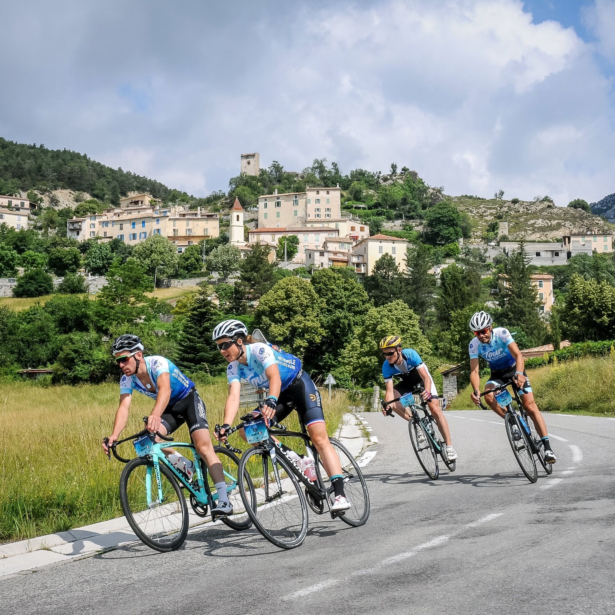

Departure is from the panoramic viewpoint at the large roundabout at the entrance to Vence. From here, take Rue Victor Tuby, which leads directly to the sign announcing the foot of the Col de Vence. Follow the RM2 in the direction of Coursegoules, which leads directly to the pass, whose summit rises to 963 m. Once over the Col de Vence, a slight descent brings you to the foot of the village of Coursegoules, which you can reach by taking the RD 8 towards Bouyon and climbing a short hill. At the top of the hill, below the village of Coursegoules, the road descends towards Bouyon. As you go through the village, be careful to avoid speed bumps, which can be very dangerous to cross. From this point, turn left onto the RM1 towards Les Ferres - Conségudes- Roquestéron. After the junction with the village of Conségudes (Km 37.8), the road descends into the foothills of the Estéron river, on a narrow, winding road. At the entrance to Roquestéron-Grasse, after passing through a hamlet of closely-spaced houses, the road crosses the Estéron. Shortly afterwards, the RM1 joins the RD17 (Km 47.8). Carefully negotiate the hairpin bend towards Roquestéron center. From here, the climb up the côte de Sigale begins. But the itinerary leaves the RD17 at a hairpin bend to take the D10 towards Aiglun - Le Mas(Km 51.1). The RD10 passes through Aiglun and Le Mas, then over the Col du Pinpinier. Once you've reached the junction with the RD 5, turn left onto the RD 5 towards Thorenc - St. Vallier de Thiey - Grasse - Gréolières via the Col de Bleine (Km 75.56). The RD 5 joins the RD 2. At this intersection(Km 85), turn right onto the RD 2 towards Gréolières -Vence, passing through part of the magnificent Thorenc plateau. The descent to Géolières is vertiginous, with its highly symbolic clues. The road passes over the village of Gréolières, briefly known as the RD4 02, and becomes the RD2 again as far as the traffic circle(Km 98.7). Here, take the 2nd exit towards Gourdon - Grasse Tourrettes/Loup on the RD 3. At Bramafan , follow the RD 6 (km 103.9). At the junction with the RM 2210 (km 109.4), climb back up towards Vence. The RM 2210 passes through Tourrettes/Loup, the highest point of the final ascent. At the traffic circle(Km 120.3), take the 3rd exit to Vence on the RM 2210(Ancienne route de Grasse) . The entrance to Vence will take cyclists directly to the starting point.
Sí
-Wear an approved helmet
-Check the condition of your tires
-Carry a puncture repair kit
-Prefer at least one flashing LED light to be fixed to the seatpost, so that you can be seen by other motorists, especially in the small tunnels that abound on this route.
-Don't overestimate your abilities
-Find out about mountain weather and pass opening times before you set off.
-Carry identification and a telephone number to call in case of danger.
-Respect traffic lights
-Use bicycle paths whenever possible
In other words: a sign may require you to
If the "cycle lane" sign is square: you decide.
If it's round, you must use the lane .
-Respect the environment and other road users
THE RIGHT REFLEXES FOR RIDING IN A GROUP
-Riding two abreast is authorized, but single file is mandatory:
at dusk or when visibility is poor
when a vehicle wishing to overtake announces its approach.
-In the event of a breakdown, pull over to the side of the road, not the carriageway.
- Come to an absolute stop for the whole group at stop signs, yellow lights, red lights and flashing lights.
-Communicate within the group and use verbal language and body language to signal an obstacle or vehicle. A simple gesture or word is all it takes to avoid a fall or accident.
From the A8 "La Provençale" freeway:
From Paris, Lyon, Marseille, Aix-en-Provence, take Villeneuve-Loubet / Cagnes-sur-Mer exit no. 47
From Nice, take exit Cagnes-sur-Mer n°48
Then take the RM 336, the M 36 expressway and the M 2210 to reach Vence directly.
Bus routes can be found at: https://www.lignesdazur.com
Parking Marie Antoinette near the panoramic departure point - Paid surface parking - 153 spaces
Circuit reserved for seasoned athletes - FFC color: black -
Infórmate
Siempre en directo con más de 9.500 webcams. bergfex Como usuario Pro, ahora puede ver las webcams correspondientes a muchos tours en la app de tours desde. Esto le permite ver las condiciones actuales directamente.
Rutas populares en los alrededores
-
Circuito bicicleta FFC nº 8: el circuito 70.3 (Half IRONMAN)
medioCiclismo de carrera 92,8 km -
A short walk in Saint-Jeannet : Les Baous de la Gaude and St-Jeannet
medioSenderismo 12,2 km -
Circuito MTB FFC n°25: La cima de Broc
medioMountainbike 18,9 km -
Una pequeña excursión en Vence: circuito del Baou des Blancs
medioSenderismo 7,07 km -
Circuito bici de montaña FFC nº 24: La capilla Sainte-Marguerite
luzMountainbike 11,9 km -
Circuito bici FFC nº 16: el recorrido del Col de Vence
medioCiclismo de carrera 55,2 km -
Pic de Courmettes, Frankreich
pesadoSenderismo 6,14 km -
Grasse - Rundtour
medioSenderismo 14,4 km -
Circuit, Col du Ferrier - La Gardette - La Colle
luzSenderismo 5,56 km -
Circuito bici n.º 9: El nuevo circuito IRONMAN NICE
pesadoCiclismo de carrera 173,5 km
Senderismo y rastreo


No se pierda las ofertas y la inspiración para sus próximas vacaciones
Su dirección de correo electrónico se ha añadido a la lista de correo.





