


La Corrézienne MTB
The routes are divided into 51 sectors of 10 to 25 km, crossing more than 200 communes and a topoguide details each sector.
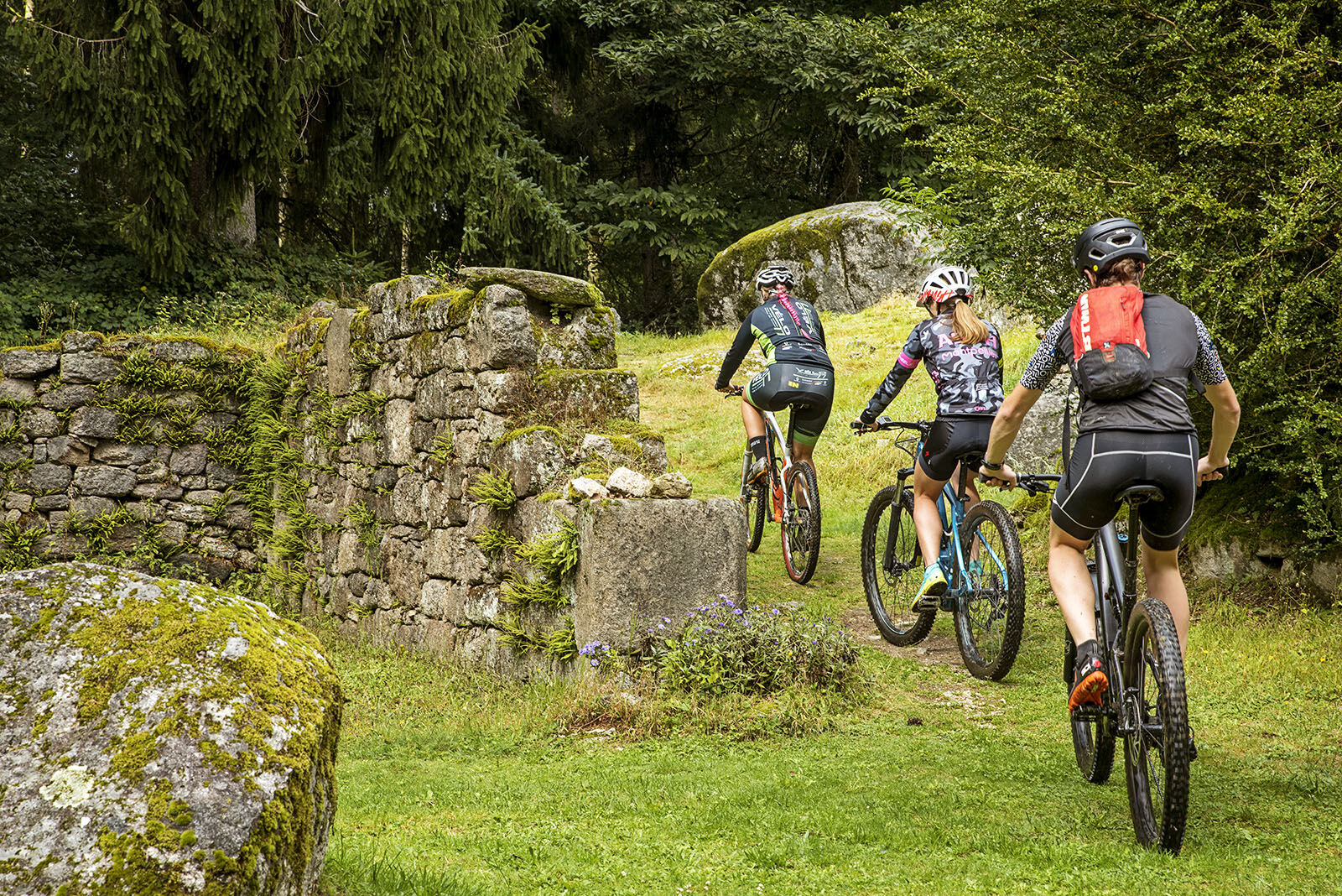
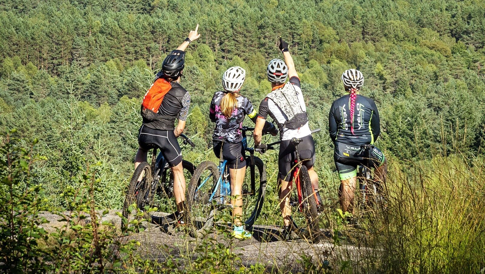
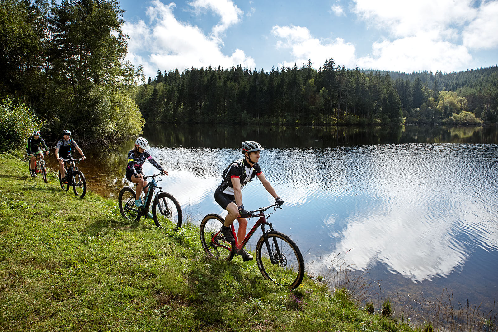
This MTB route will take you on a journey through a variety of landscapes as...
The routes are divided into 51 sectors of 10 to 25 km, crossing more than 200 communes and a topoguide details each sector.
This MTB route will take you on a journey through a variety of landscapes as varied as the Corrèze itself.
Sometimes easy on wide and winding roads, sometimes difficult, even very difficult on small steep paths, you will cross deciduous forests in Basse Corrèze before finding yourself in the middle of coniferous forests in Haute Corrèze.
Not forgetting the magnificent crossing of the Millevaches Regional Nature Park in Limousin.
Translated with www.DeepL.com/Translator (free version)

-
Sí
The mountain bike as you wish! but.....
Take the marked paths for your safety and respect the direction of the routes Don't overestimate your abilities and stay in control of your speed Be careful and courteous when passing or crossing hikers as pedestrians are a priority Check the condition of your MTB and provide supplies and repair accessories If you are going alone, leave your itinerary with your friends and family Wearing a helmet is strongly recommendedRespect private property and cropping areas Beware of agricultural and forestry machinery Close the barriers Avoid wild picking of flowers, fruits and mushrooms Do not disturb the tranquility of wild animals Keep your garbage, be discreet and environmentally friendlyIn case of emergency, dial 112
A20 : Paris/Toulouse. Paris: 460km (A20 - toll-free between Vierzon and Brive), Limoges: 90km, Toulouse: 240km
A89 : Clermont-Ferrand/Bordeaux. A71/St-Germain les Vergnes (156km) and Brive Nord/Libourne (169 km) sections
D1089 : Clermont-Ferrand/Bordeaux
By bus
Corrèze is easily accessible by bus, Flixbus, and BlaBlaBus all run services to the region. For more information, prices and schedules, please visit www.omio.co.uk/coaches/france.By train
Brive, Tulle, Ussel and Uzerche railway stations www.oui.sncf Paris-Toulouse route.-
To find out more about our region, visit our website
All the details about the Corrézienne VTT can be found here (French only)
A real mountain bike or electric bike adventure to share with family and friends.
Rutas populares en los alrededores
-
La Vagabonde® (V87) en Corrèze
medioCiclismo de larga distancia 156,9 km -
Circuito ciclista de ocio: el castillo de Sédières
luzCiclismo 14,8 km -
Circuito de ocio en bicicleta: el valle de la Corrèze
medioCiclismo 22,3 km -
Naves, siguiendo la Solane
medioSenderismo 14,5 km -
El camino del paraíso
pesadoSenderismo 13,4 km -
Contrarreloj - Tour de France 1998
medioCiclismo de carrera 56,2 km -
Le Grand Saut - Chapelle Notre-Dame-du-Rosaire - chalet de paul - Gimel-les-Cascades
medioSenderismo 5,61 km -
Église Saint-Jacques - Chastagnol - Suc au May - Chaumeil
pesadoSenderismo 16,0 km -
Bugeat - Église Saint-Pardoux - Col des Géants - Argentat
pesadoCiclismo 86,4 km -
Montaignac - Église Saint-Pierre-ès-Liens - Col des Géants - Col du Bos
pesadoCiclismo de carrera 66,0 km
Senderismo y rastreo


No se pierda las ofertas y la inspiración para sus próximas vacaciones
Su dirección de correo electrónico se ha añadido a la lista de correo.