Saint-Valery-en-Caux - Église Notre-Dame - Reutteville - Chapelle du Bon Port
pesado
Navegue por
Navegue por
Consigue este tour en tu móvil
Saint-Valery-en-Caux - Église Notre-Dame - Reutteville - Chapelle du Bon Port
pesado
Senderismo
20,77
km
Escanee el código QR e inicie la navegación en la aplicación bergfex

Senderismo y rastreo


Saint-Valery-en-Caux - Église Notre-Dame - Reutteville - Chapelle du Bon Port
pesado
Distancia
20,77
km
Duración
05:10
h
Ascenso
240
m
Nivel del mar
4 -
79
m
Descarga de pistas
Saint-Valery-en-Caux - Église Notre-Dame - Reutteville - Chapelle du Bon Port
pesado
Senderismo
20,77
km
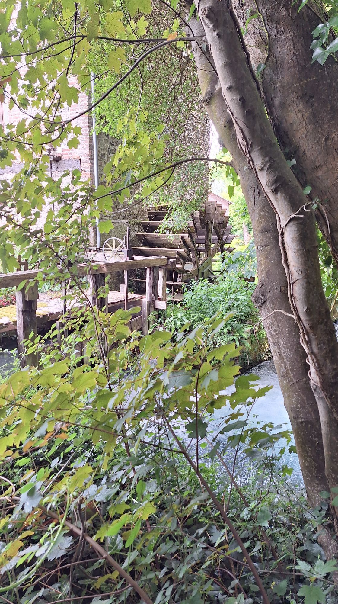
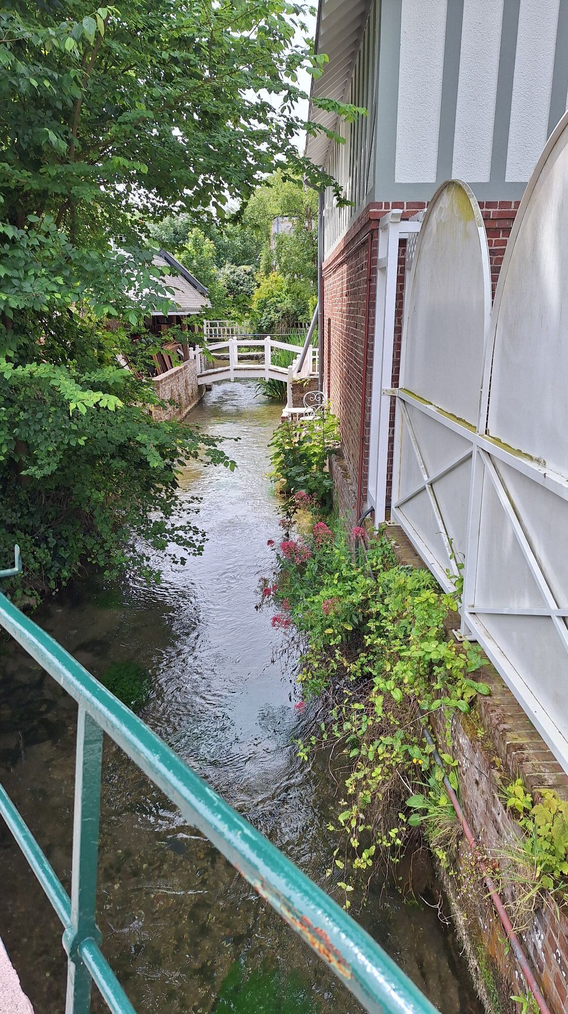
Fotos de nuestros usuarios
Ruta
Saint-Valery-en-Caux
(26 m)
Pueblo
0,2 km
Église Notre-Dame
(17 m)
Lugar de culto
0,9 km
Reutteville
(66 m)
Liquidación
3,4 km
Manneville-ès-Plains
(64 m)
Pueblo
4,3 km
Veules-les-Roses
(20 m)
Pueblo
8,5 km
Ectot
(67 m)
Liquidación
17,9 km
Chapelle du Bon Port
(8 m)
Lugar de culto
19,5 km
Ruta
Saint-Valery-en-Caux - Église Notre-Dame - Reutteville - Chapelle du Bon Port
pesado
Senderismo
20,77
km
Saint-Valery-en-Caux
(26 m)
Pueblo
0,2 km
Église Notre-Dame
(17 m)
Lugar de culto
0,9 km
Reutteville
(66 m)
Liquidación
3,4 km
Manneville-ès-Plains
(64 m)
Pueblo
4,3 km
Veules-les-Roses
(20 m)
Pueblo
8,5 km
Belvedere du Point d'Interrogation
(46 m)
Punto de vista
10,0 km
Manneville-ès-Plains
(64 m)
Pueblo
14,9 km
Ectot
(67 m)
Liquidación
17,9 km
Chapelle du Bon Port
(8 m)
Lugar de culto
19,5 km
Saint-Valery-en-Caux
(26 m)
Pueblo
20,6 km
Autor
Proporcionado por Bergfex Tour Generator
Compartir gira
Saint-Valery-en-Caux - Église Notre-Dame - Reutteville - Chapelle du Bon Port
pesado
Senderismo
20,77
km
Error
Se ha producido un error. Por favor, inténtelo de nuevo.
Último seguimiento
2 hace semanas
Valoraciones

Rutas populares en los alrededores
-
Hameau de Ruville - Église Saint-Valéry - Église Notre-Dame
medioCiclismo de carrera 51,5 km -
Église Saint-Sylvain - Église Saint-Valéry - Église Saint-Rémi-Saint-Lubin - Église Notre-Dame
medioCiclismo de carrera 48,6 km -
Gruchet-Saint-Siméon - Église Saint-Pierre - Église Saint-Martin
medioCiclismo de carrera 56,1 km -
Saint-Pierre-en-Port - Les Relais des Dalles - Église Saint-André - Veulettes-sur-Mer
pesadoSenderismo 20,4 km -
Néville - Église Saint-Martin - Église Saint-Valéry
medioCiclismo de carrera 49,8 km -
Veulettes-sur-Mer - Paluel - Église Saint-Martin
medioCiclismo de carrera 44,4 km -
Valmont - Église Saint-Pierre - Église Notre-Dame - Église Saint-Martin
medioCiclismo de carrera 68,9 km -
Cany-Barville - Église Sainte-Honorine - Église Saint-Martin
luzGravelbike 31,6 km -
Sotteville-sur-Mer - Église Saint-Martin - Église Saint-Martin dite Saint-Lézin - Église Notre-Dame
medioCiclismo de carrera 58,5 km -
Église Saint-Sylvain - Saint-Sylvain - Paluel - Église Saint-Martin
luzCiclismo de carrera 34,4 km

Senderismo y rastreo

Más de 550.000 sugerencias de excursiones, mapas detallados y un intuitivo planificador de rutas hacen de esta aplicación una herramienta imprescindible para todos los amantes de la naturaleza.

No se pierda las ofertas y la inspiración para sus próximas vacaciones
Suscribirse al boletín de noticias
Error
Se ha producido un error. Por favor, inténtelo de nuevo.
Gracias por inscribirse
Su dirección de correo electrónico se ha añadido a la lista de correo.
Viajes por Europa
Austria
Suiza
Alemania
Italia
Eslovenia
Francia
Países Bajos
Belgium
Polonia
Liechtenstein
República Checa
Slovakia
España
Croacia
Bosnia y Herzegovina
Luxemburgo
Andorra
Portugal
Iceland
United Kingdom
Ireland
Greece
Albania
North Macedonia
Malta
Norway
Montenegro
Moldova
Kosovo
Hungary
San Marino
Romania
Estonia
Latvia
Belarus
Cyprus
Lithuania
Serbia
Bulgaria
Monaco
Denmark
Sweden
Finland