






Calories Trail Hilchenbach
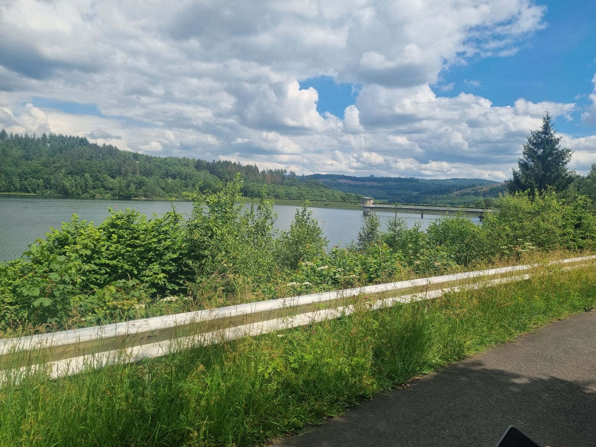
The Hilchenbach Kalorienpfad (Calories Trail) provides a special nature and fitness experience! It goes around the Breitenbach reservoir once, but not on the asphalt path along the banks. Instead, the...
The Hilchenbach Kalorienpfad (Calories Trail) provides a special nature and fitness experience! It goes around the Breitenbach reservoir once, but not on the asphalt path along the banks. Instead, the fantastic forest paths invite you to dream and ten fitness stations ensure that you can burn some additional calories. However, the sporty aspect is something you conquer anyway along the route, because an hour of hiking burns between 300 and 500 calories, depending on your weight - this corresponds to over 80% of recommended number of calories you should burn every day. The ten fitness stations do the rest - so being active out in the fresh air ensures fun, fitness and a good figure!

We set out from the car park below the Breitenbach reservoir. A short climb gets your circulation going right at the beginning. Once we reach the top, we hike past the crest of the dam. The first activity station is on the other side. After some physical activity, we turn right into the forest at A2. The second activity station invites you to cycle. Then follow the edge of the forest to the crossroads. There we turn left going uphill and pass the third activity station. The short climb ends by an asphalt path. Here, we turn right at a small clearing, cross the parallel tarred path and go straight on along a forest trail. At the next fork, we turn right and pass the pump station. After the steep climb, we turn left onto a grass path to the mountaintop and then right into a quaint piece of woodland. Once we reach a fork in the path, the trail turns left onto one of the paths. Go left for a while along a forestry road and then downhill along a forest path. At Dörrhöhe, activity station four and a picnic bench invite us to take a rest and enjoy a magnificent view of the reservoir. The route then delves into the forest. After skewing onto a crossroads, we pass activity station five. Then down through the beech forest to the lake, where activity station six motivates us to do some stomach muscle exercises. This is followed by a short asphalt passage along the banks, with a break at activity station seven. At activity station eight, we turn right and switch to a rustic path. Here, you can catch a small glimpse of the lake before the Kalorienpfad (Calories Trail) comes to a crossroads and a comfortable forest lounger beckons us to take a rest. We then hike on to the left until the next crossing at activity station nine. Here, we turn left and the last climb to the Krackertsberg is ahead of us on the soft forest floor. After this mountaintop, the trail leads downwards and our target destination on the path around the banks comes into sight. Activity station ten provides the last break. After 7 km, the experience tour ends at the crest of the dam.
Wanderkarte Hilchenbach, 1:25.000, 1. Auflage 2009, € 5,00
Ankle-high shoes
Ankle-high shoes are recommended as the trail requires sure-footedness. After rain, parts of the trail can become slippery.
Alternative start and finish point is the market square of the city Hilchenbach.
Visitor parking below the Breitenbachtalsperre.
After the tour, you can stop for some refreshments at the “Alten Wärterhaus” and quickly regain the calories you burned off in the most delicious way.
Rutas populares en los alrededores
-
5,0
Ruta Rothaarsteig Oberhundemer Bergtour
medioSenderismo 11,5 km -
5,0
Excursión de calidad: Krenkeltal y Goldener Zapfen - paseo por las crestas entre los ríos Rin y Weser
medioSenderismo 11,3 km -
5,0
Veischeder Sonnenpfad - Nordschleife
pesadoSenderismo 17,7 km -
4,0
RuHe-Pfad (Alrededor de Helden en el Repetal)
medioSenderismo 13,9 km -
Veischeder Sonnenpfad
medioSenderismo 37,6 km -
3,0
Naturerlebniswege auf der Trupbacher Heide
medioSenderismo 8,69 km -
4,0
Rothaarsteig-Spur - Zinser Grenzpfad
medioSenderismo 14,4 km -
Recorrido Hohe-Bracht
luzSenderismo 8,90 km -
Sobre castillos sumergidos y a través de rocas salvajes
medioSendero temático 14,6 km -
Rothaarsteig von der Ginsberger Heide zur Lahnquelle
pesadoSenderismo 19,1 km

Senderismo y rastreo


No se pierda las ofertas y la inspiración para sus próximas vacaciones
Su dirección de correo electrónico se ha añadido a la lista de correo.





