






On miners’ paths

Vorbei am Wielandshof geht es bei freier Sicht bis zum Waldrand. Bereits nach 500 m wartet mit der Grube Ratzenscheid ein erster Höhepunkt auf uns. Wir laufen am Grubengelände vorbei und passieren auf...
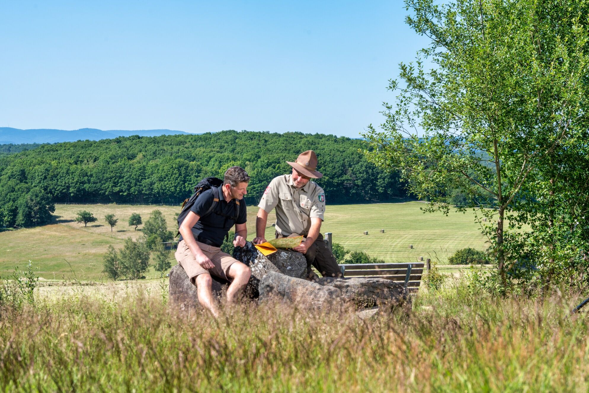
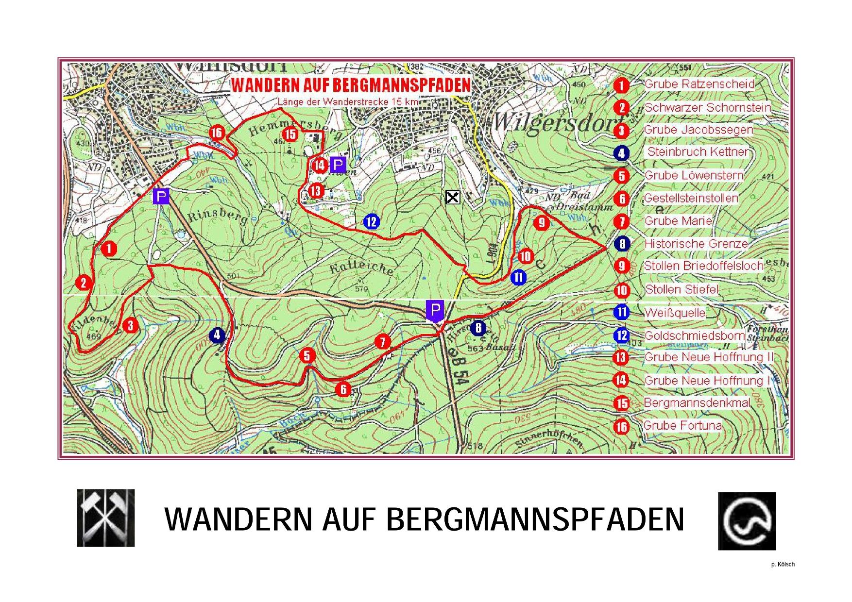
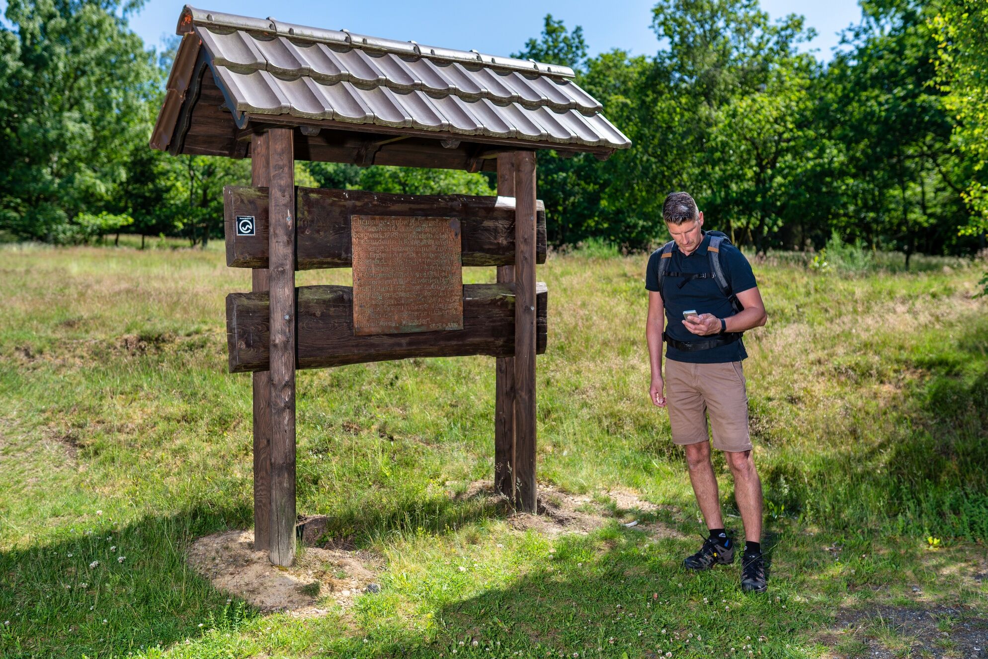
Vorbei am Wielandshof geht es bei freier Sicht bis zum Waldrand. Bereits nach 500 m wartet mit der Grube Ratzenscheid ein erster Höhepunkt auf uns. Wir laufen am Grubengelände vorbei und passieren auf unserer Wanderung zum Steinbruch Kettner den Schwarzen Schornstein und die Grube Jacobssegen. Wunderbarer Mischwald begleitet uns, vorbei an alten, oft verborgenen Stolleneingängen, wie dem Gestellsteinstollen. Nach knapp 6 km erreichen wir die Grube Marie. Wenige Meter dahinter queren wir die B54 und biegen rechts ab, um auf Waldwegen entlang der Grenze zum Rothaarsteig zu laufen, wo sich ein wunderbarer Ausblick über die Höhen des Siegerlandes eröffnet. Nach knapp 300 m verlassen wir diesen wieder und steigen abwärts zum Briedoffelsloch, einem alten Stolleneingang. Auf weichen Waldpfaden entlang des Weißbaches gehen wir vorbei an der Weißquelle hinauf zur L904, die problemlos gequert werden kann. Nach insgesamt 11,8 km passieren wir den Brunnen Goldschmiedsborn. Nun geht es am Wanderparkplatz neben dem weitläufigen Naturschutzgebiet der Grube Neue Hoffnung aus dem Wald heraus. An einer Wiese entlang Richtung Heckebachtal erreichen wir den versteckt liegenden Eingang der Grube Fortuna. Wir verlassen das Tal und treffen wieder auf unseren Startpunkt.

Radwander- und Freizeitkarte Siegerland-Wittgenstein mit Begleitheft, 1:50.000, ISBN 3-87073-280-3, 7,95 €.
Wanderkarte Südliches Siegerland, 1:25.000, 7,95 €
Along the way, there are only restaurants some distance from the route in Wilgersdorf; we therefore recommend bringing food and drink with you.
Bitte beachten Sie, dass der Wegezustand aufgrund der notwendigen Holzerntemaßnahmen teilweise etwas in Mitleidenschaft gezogen sein kann.
Wilnsdorf can be reached via the B54. There are two starting points for the hiking trail: at the B 54/L904 junction in the forest and on the outskirts of Wilnsdorf at the car park (there is also a bus stop here)
Auskunft bei ZWS (Zweckverband Personennahverkehr Westfalen-Süd), Tel. 01803/50 40 30*)
The Museum Wilnsdorf is worth a visit.
Rutas populares en los alrededores
-
Lahnwanderweg 01. Etapa Fuente del Lahn – Feudingen
medioSenderismo 14,3 km -
Rothaarsteig-Spur Gernsdorfer Höhentour
medioSenderismo 13,4 km -
Rundweg Obersdorf
Senderismo 8,20 km -
Rothaarsteig von Lützel (Bhf) zur Haincher Höhe
medioSenderismo 24,9 km -
Erlebnisweg Luisenpfad
Senderismo 2,90 km -
Radtour Sieg | Bergbau per Bike | Kirchen (Sieg)
pesadoCiclismo 21,6 km -
A3 Wilgersdorf
Senderismo 6,83 km -
A1 Rudersdorf
Senderismo 4,60 km -
A4 Flammersbach
luzSenderismo 4,76 km -
Jogger-Treffpunkt am Fluss: Die Sieg-Arena
luzRunning 2,22 km

Senderismo y rastreo


No se pierda las ofertas y la inspiración para sus próximas vacaciones
Su dirección de correo electrónico se ha añadido a la lista de correo.





