






Kindelsberg path
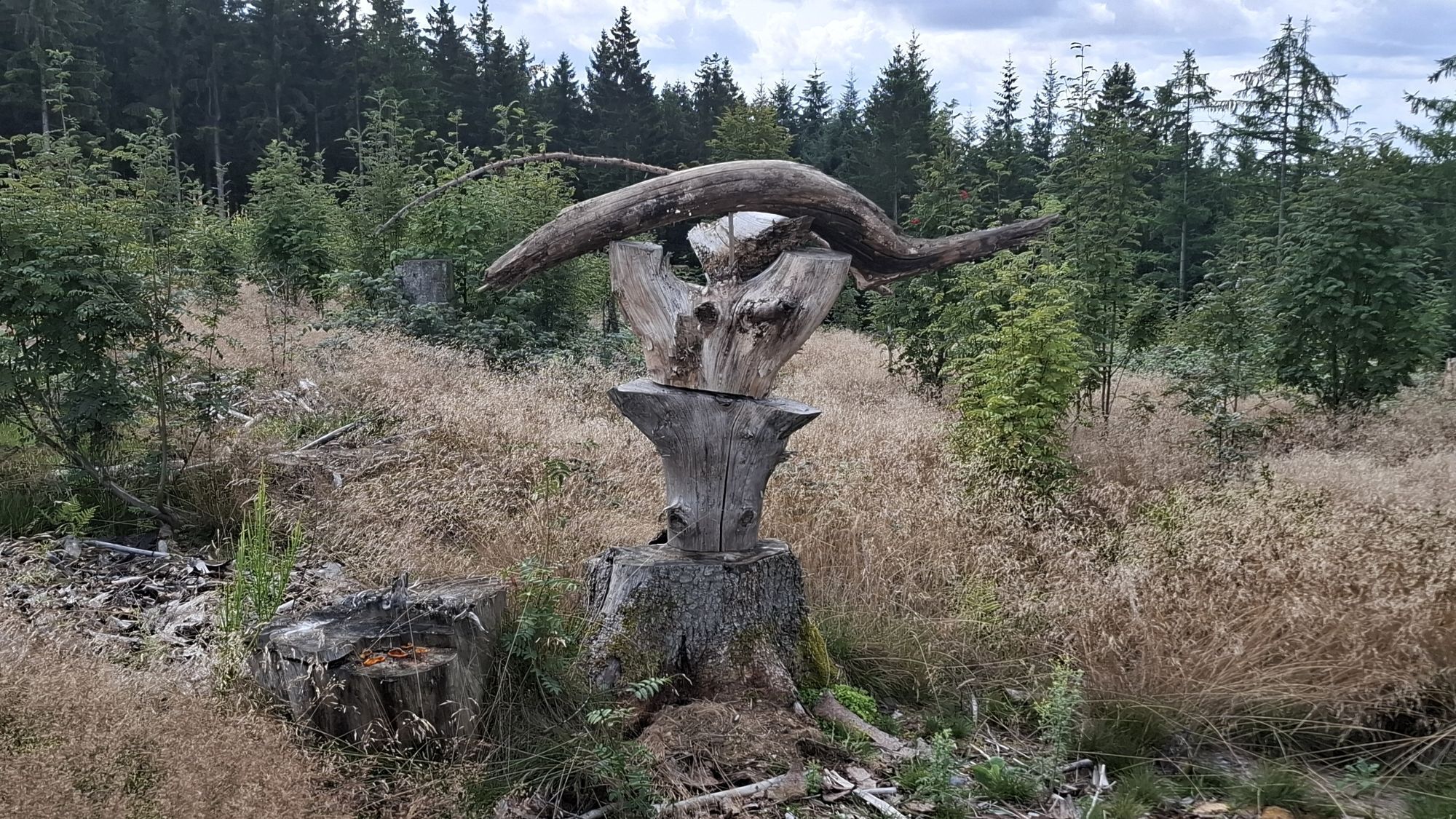
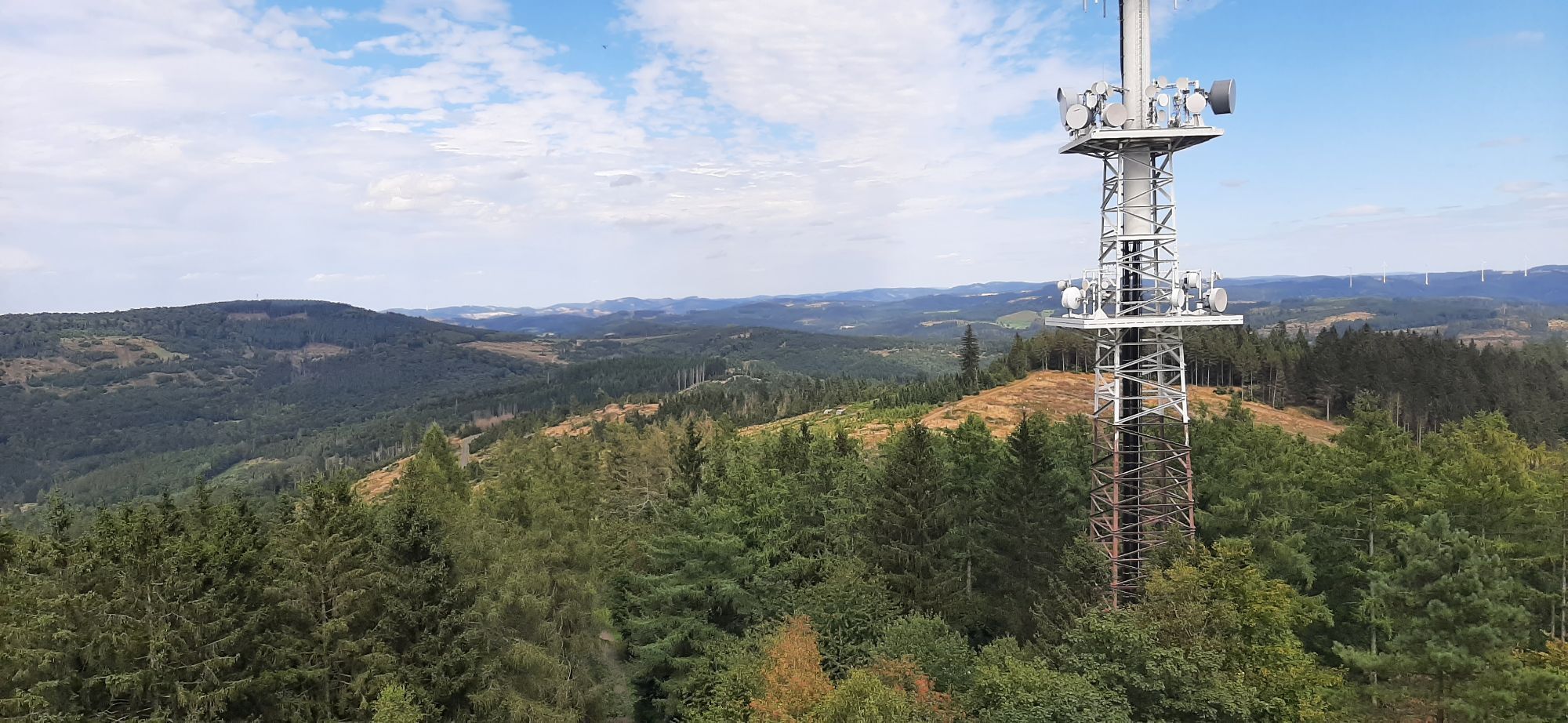
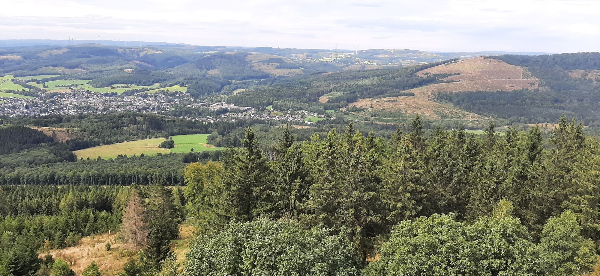
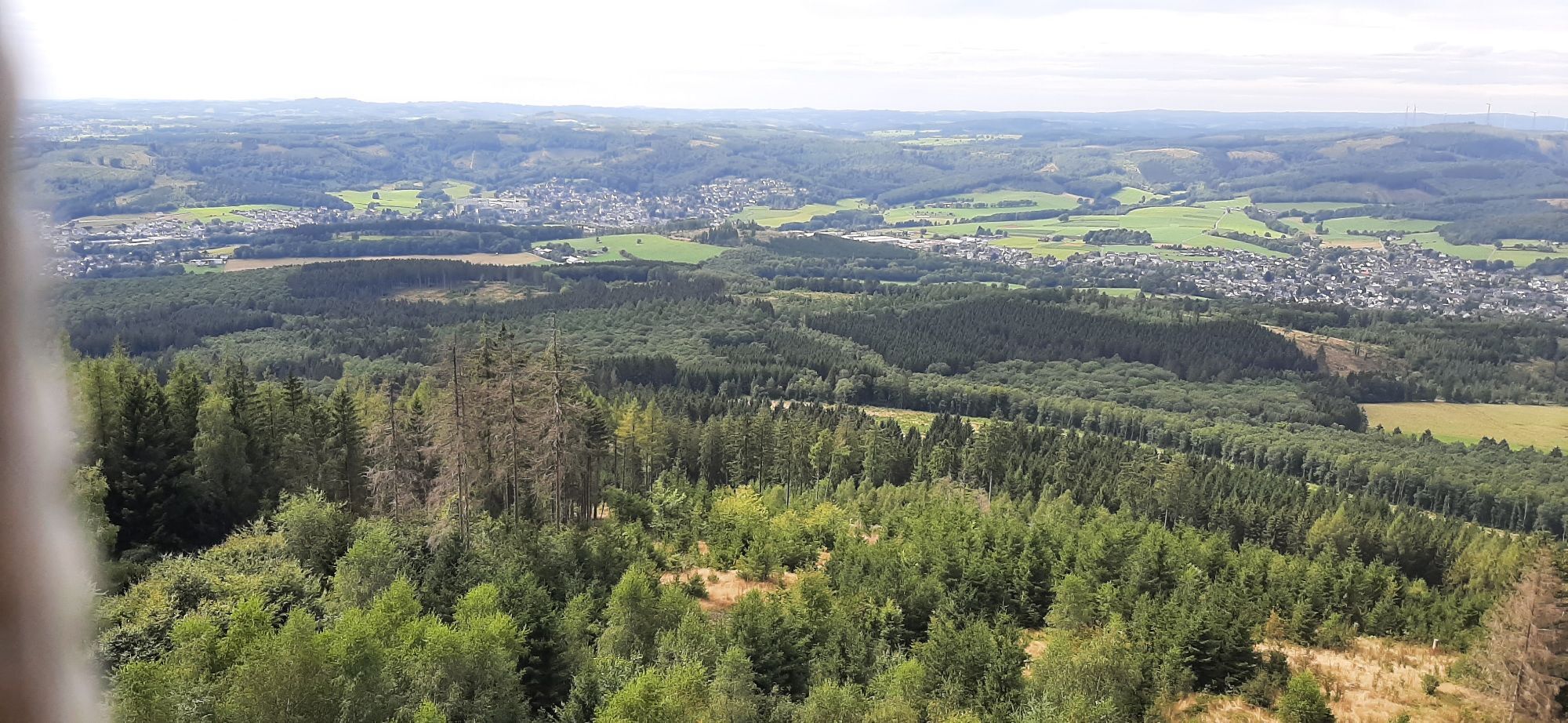
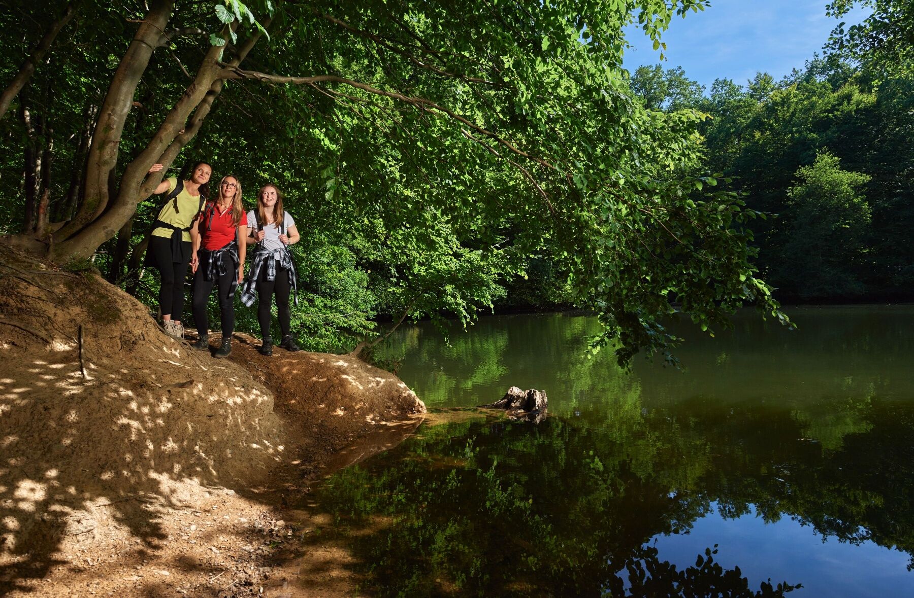
Über den Bussardweg startet der Pfad oberhalb Kredenbachs und begleitet uns in das Naturschutzgebiet Loher Tal. Am Loher Weiher vorbei wandern wir durch den Steinbruch Witschenberg. Es geht entlang einer...
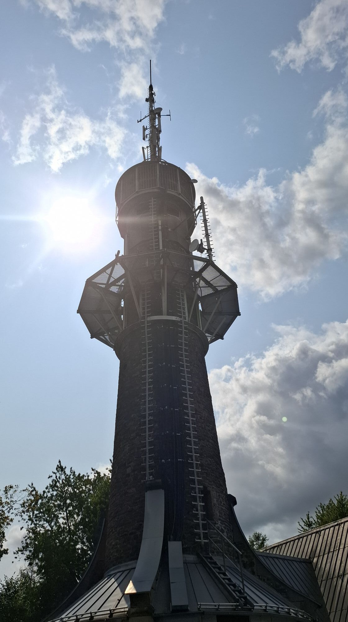
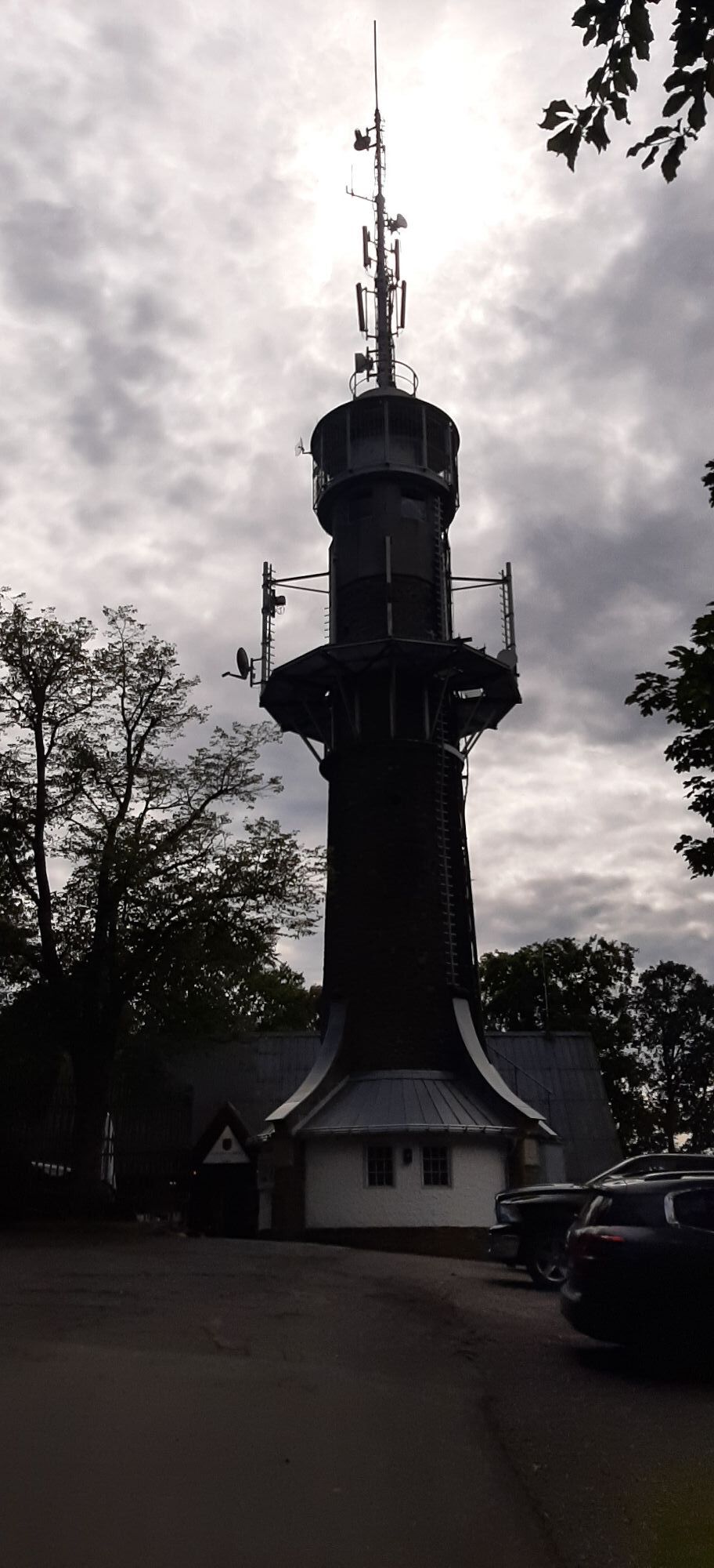
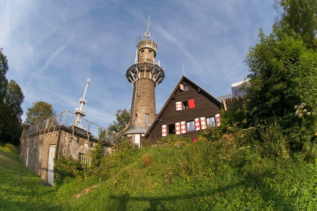
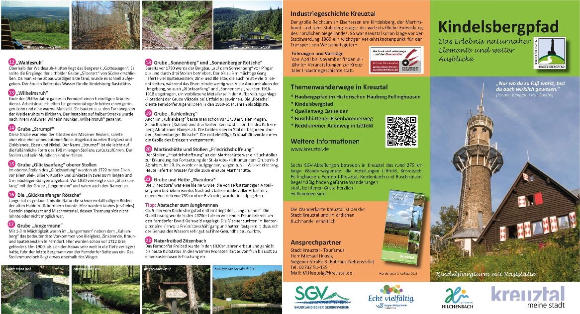
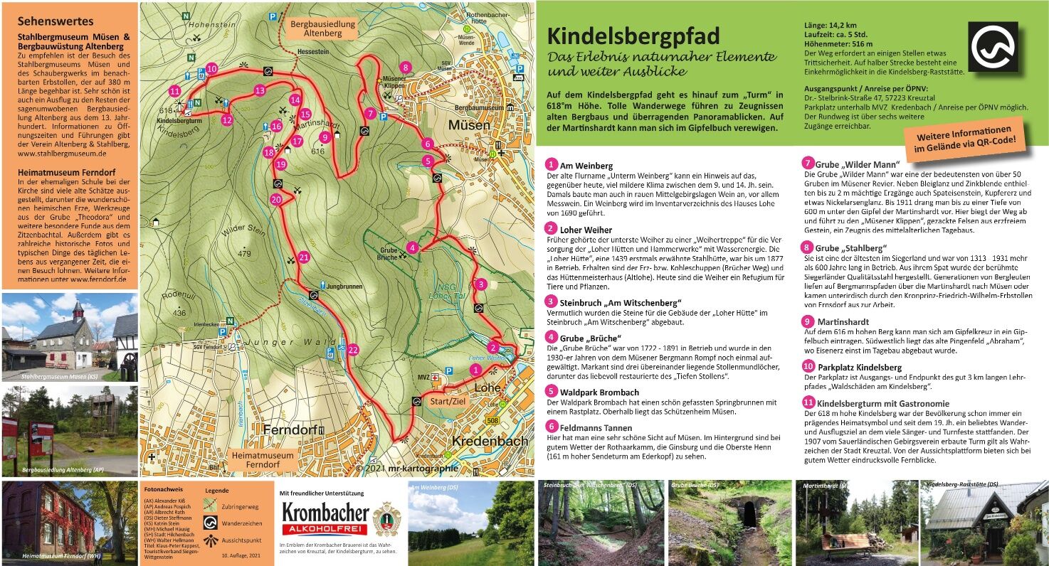
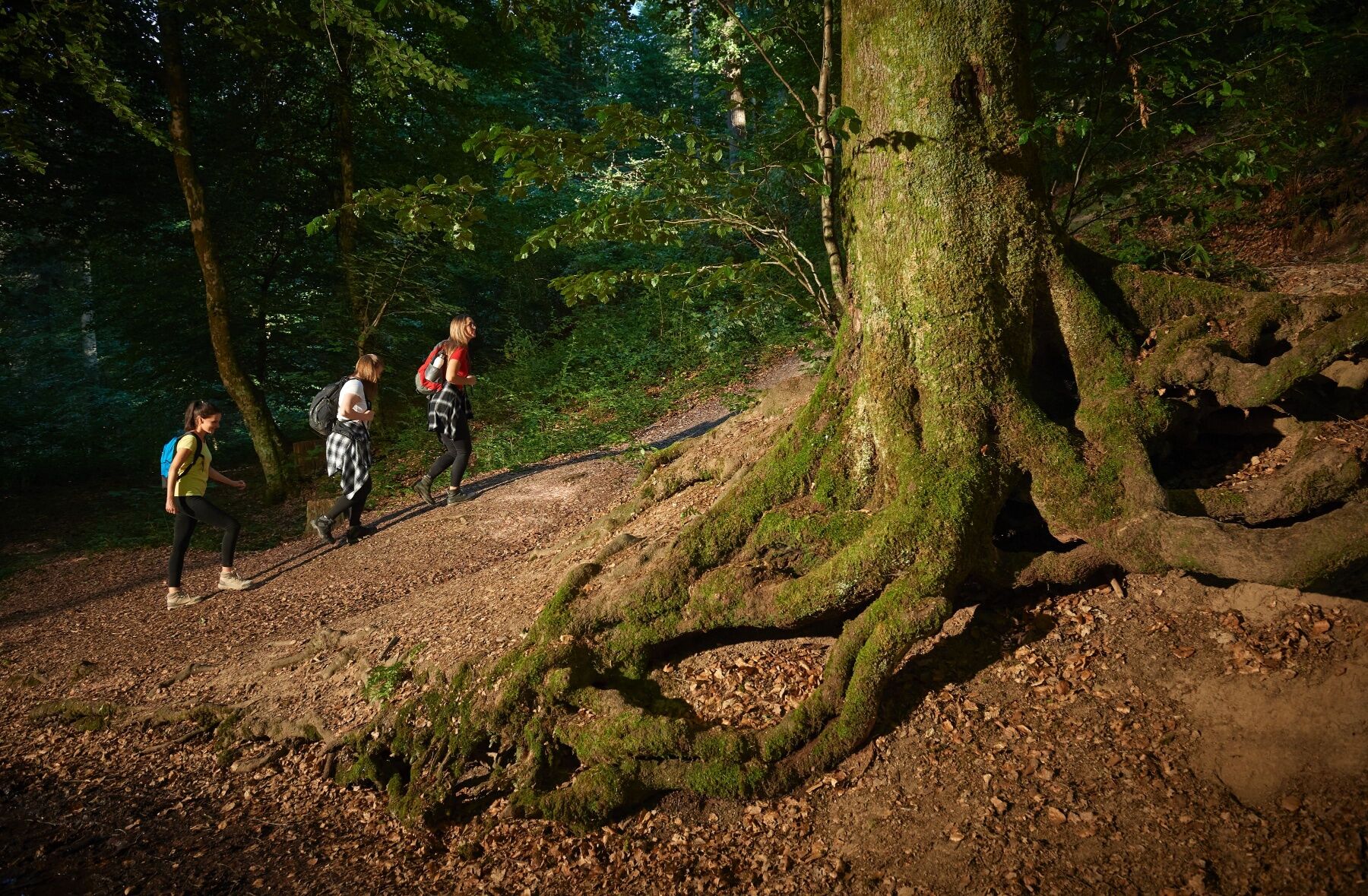
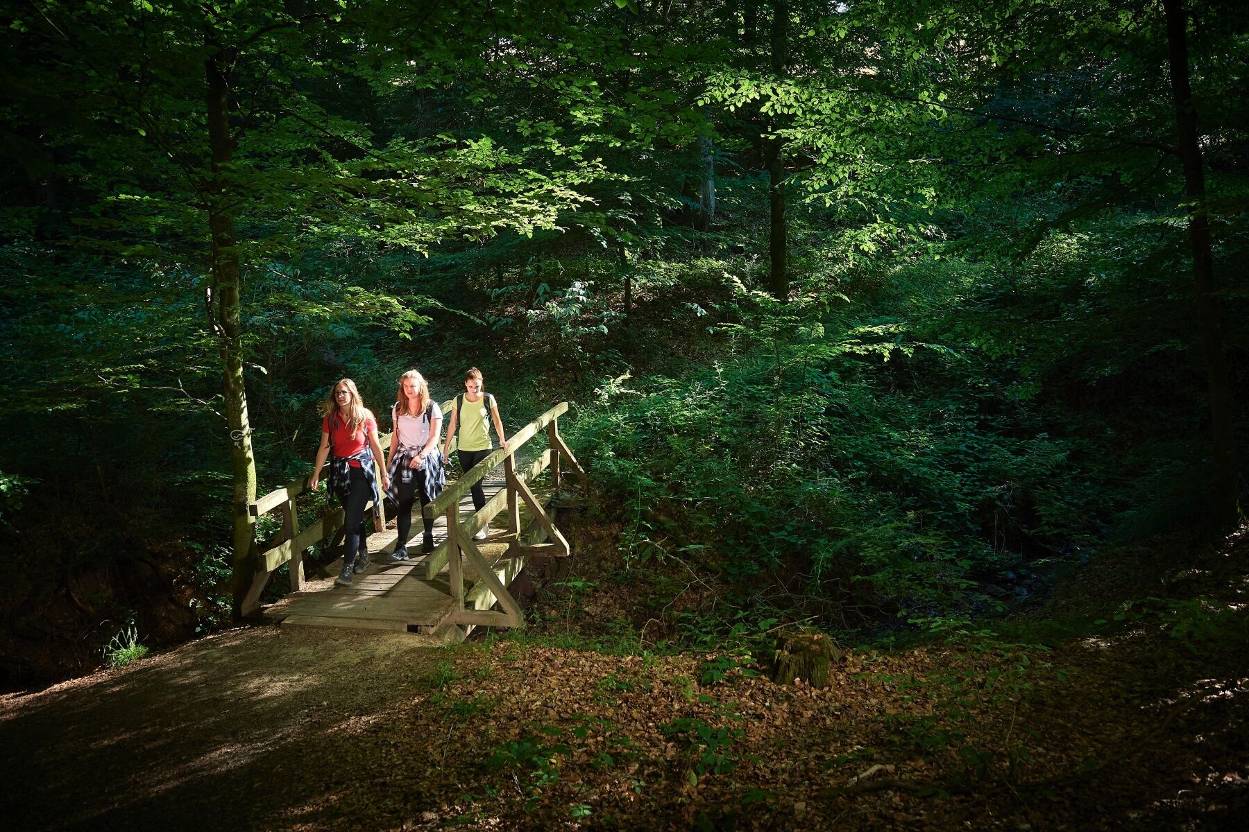
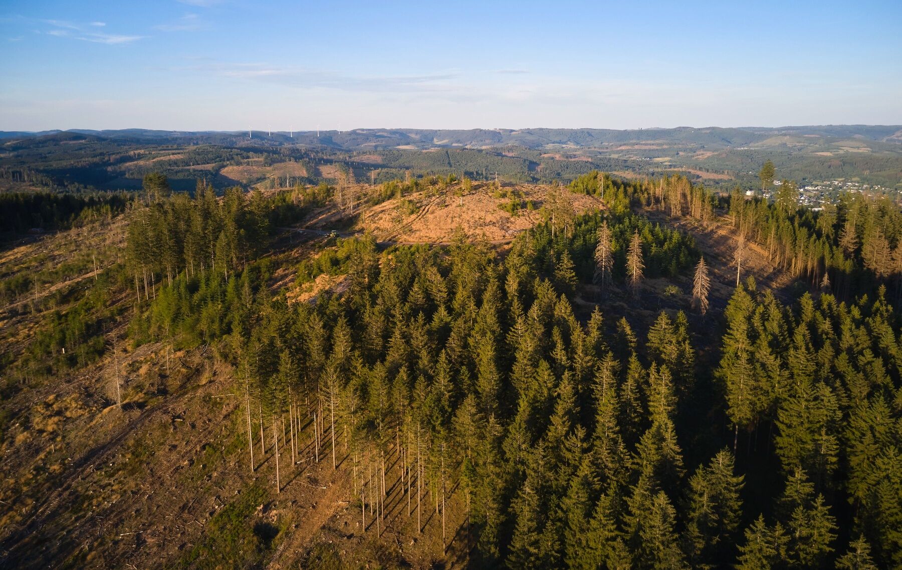
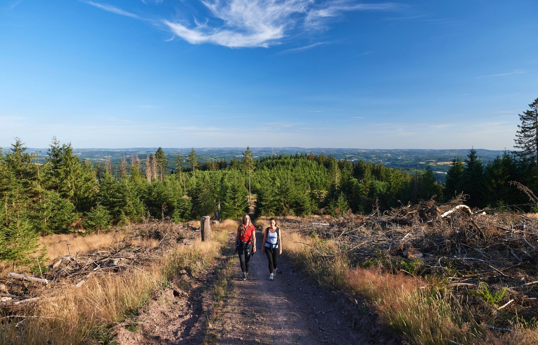
Über den Bussardweg startet der Pfad oberhalb Kredenbachs und begleitet uns in das Naturschutzgebiet Loher Tal. Am Loher Weiher vorbei wandern wir durch den Steinbruch Witschenberg. Es geht entlang einer wallähnlichen Aufschüttung bis zur Grube Brüche. Auf Haubergswegen gelangen wir über die Müsener Weidekampen zum Waldpark Brombach. Durch einen hohen Fichtenbestand (Feldmanns Tannen) führt uns der Weg weiter bis zum Grubengelände Wilder Mann. Auf engen Pfaden geht es durch die Müsener Klippen (Pingenfeld Stahlberger Stock). Weiter Höhe gewinnend erklimmen wir die Martinshardt. Gönnt uns der abwärts führende Rippenweg eine kleine Erholung so geht es den Birkhahn wieder hinauf zum Parkplatz Kindelsberg. Nur noch eine kurze Strecke trennt uns vom bewirtschafteten Aussichtsturm.'
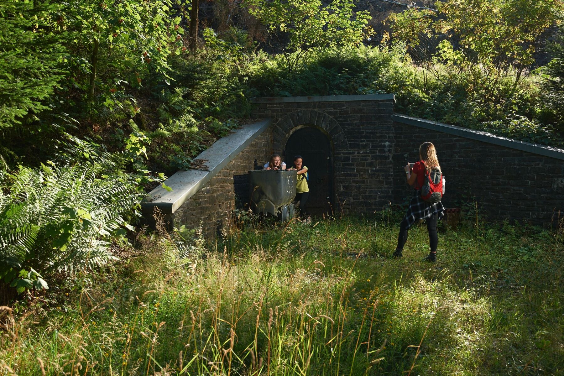
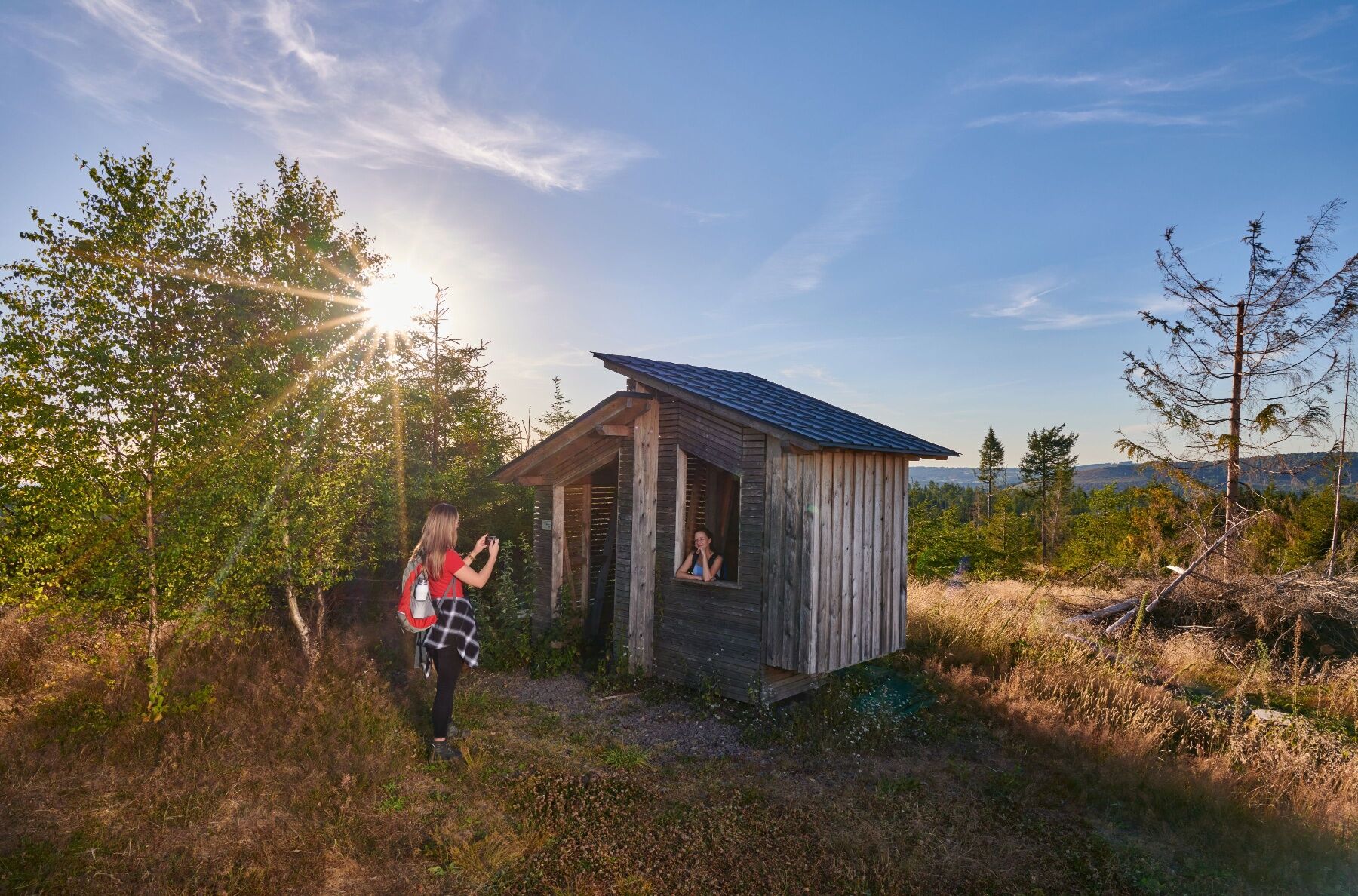
Gut gestärkt geht es fortan über einen schmalen Pfad zu den Hütten Waldesruh. Ständig talwärts gehend werden wir Zeuge des eindrucksvollen Siegerländer Bergbaus, denn von nun an begleiten uns die Gruben Strumpf, Glücksanfang, Jungermann und Kuhlenberg. An der Martinshütte finden wir das verfallene Stollenmundloch der Grube Friedrichshoffnung. Vorbei am Naturfreibad Zitzenbach geht es durch das Tal zurück zum Ausgangspunkt.

Wanderkarte Kreuztal, in regionalen Buchhandlungen und bei der Stadt Kreuztal erhältlich, € 5,00
Radwander- und Freizeitkarte Siegerland-Wittgenstein mit Begleitheft, 1:50.000, ISBN 3-87073-280-3, € 7,95
Halfway along the route, you can stop for food and drink at the Kindelsberg restaurant.
Bei der „Felsenvariante“ ist Trittsicherheit Voraussetzung
Via the B54 to Kreuztal. Here follow the B508 to the district Kredenbach.
Auskunft bei ZWS Zweckverband Personennahverkehr Westfalen-Süd, Tel. 01803/50 40 30, www.zws-online.de
Parking below the Bernhard-Weiß-Clinic
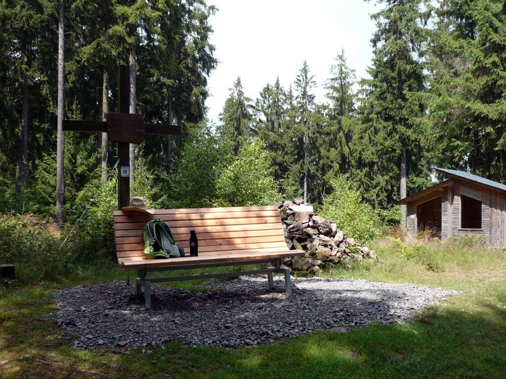
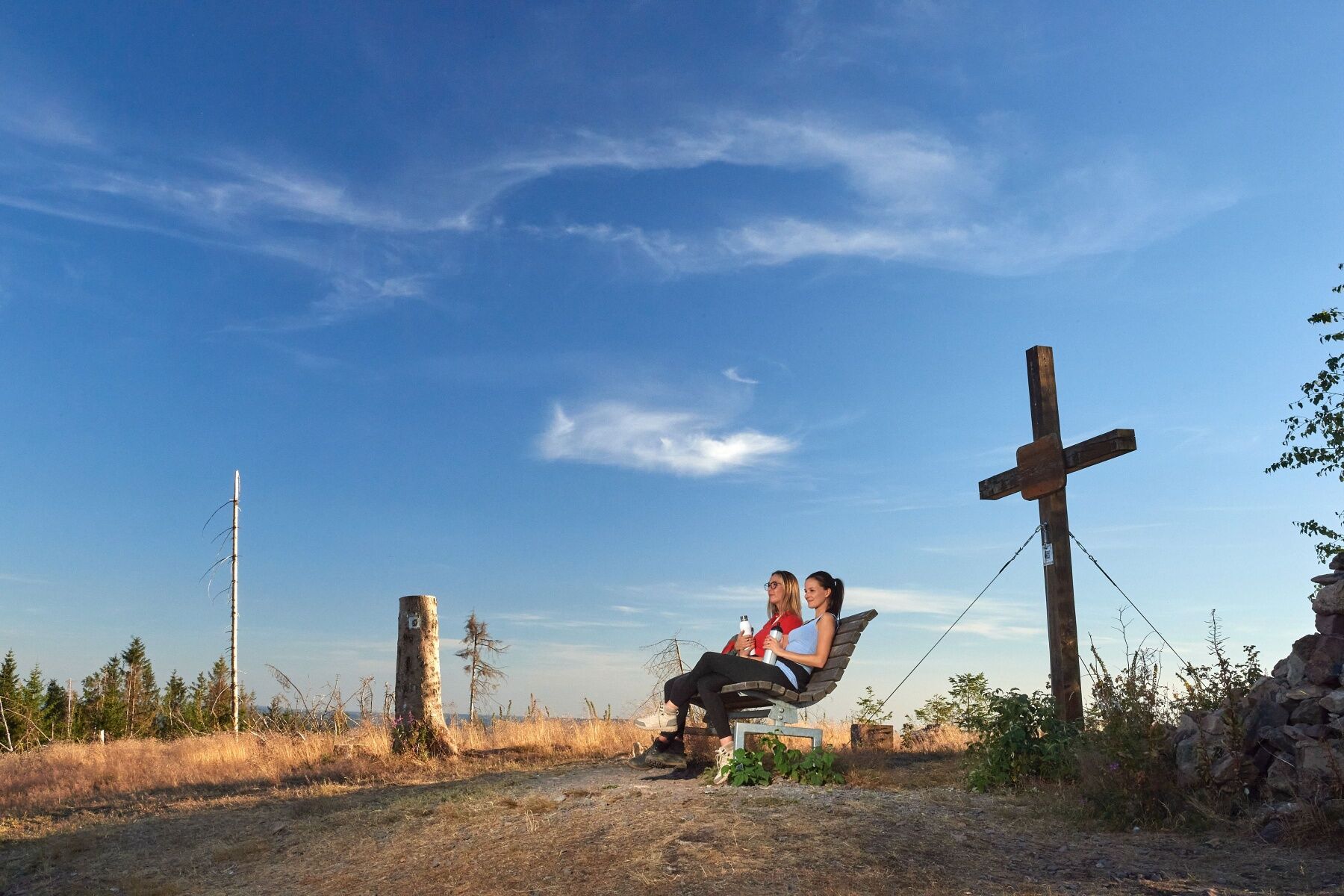
On the Martinshardt hill, you can enter your name in the book below the summit cross.
Rutas populares en los alrededores
-
5,0
Excursión de calidad: Krenkeltal y Goldener Zapfen - paseo por las crestas entre los ríos Rin y Weser
medioSenderismo 11,3 km -
5,0
Veischeder Sonnenpfad - Nordschleife
pesadoSenderismo 17,7 km -
4,0
RuHe-Pfad (Alrededor de Helden en el Repetal)
medioSenderismo 13,9 km -
Veischeder Sonnenpfad
medioSenderismo 37,6 km -
4,0
Camino circular del sur del Biggesee
medioSenderismo 9,51 km -
Radroute Biggesee
luzCiclismo 16,6 km -
4,0
Rothaarsteig-Spur - Zinser Grenzpfad
medioSenderismo 14,4 km -
3,0
Naturerlebniswege auf der Trupbacher Heide
medioSenderismo 8,69 km -
Recorrido Hohe-Bracht
luzSenderismo 8,90 km -
4,5
Bigge-Lister-Seenroute
luzCiclismo 49,7 km
Senderismo y rastreo


No se pierda las ofertas y la inspiración para sus próximas vacaciones
Su dirección de correo electrónico se ha añadido a la lista de correo.





