






Rothaarsteig vom Rhein-Weser-Turm zur Ginsberger Heide
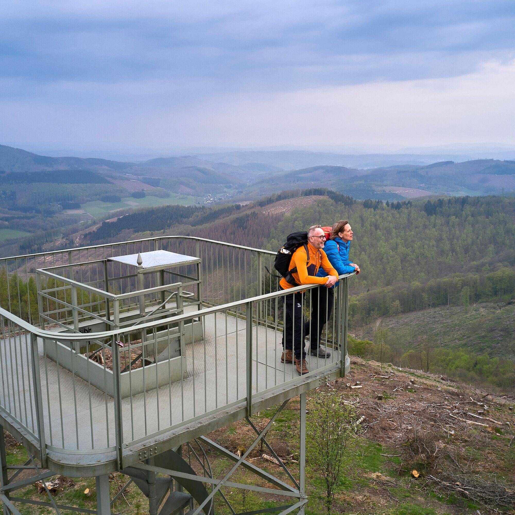
The 24-meter-high Rhein-Weser-Turm is the starting point for the Rothaarsteig stage. From the observation platform, you enjoy a panoramic view of Sauerland and Siegerland. Passing the wildlife park Panorama...
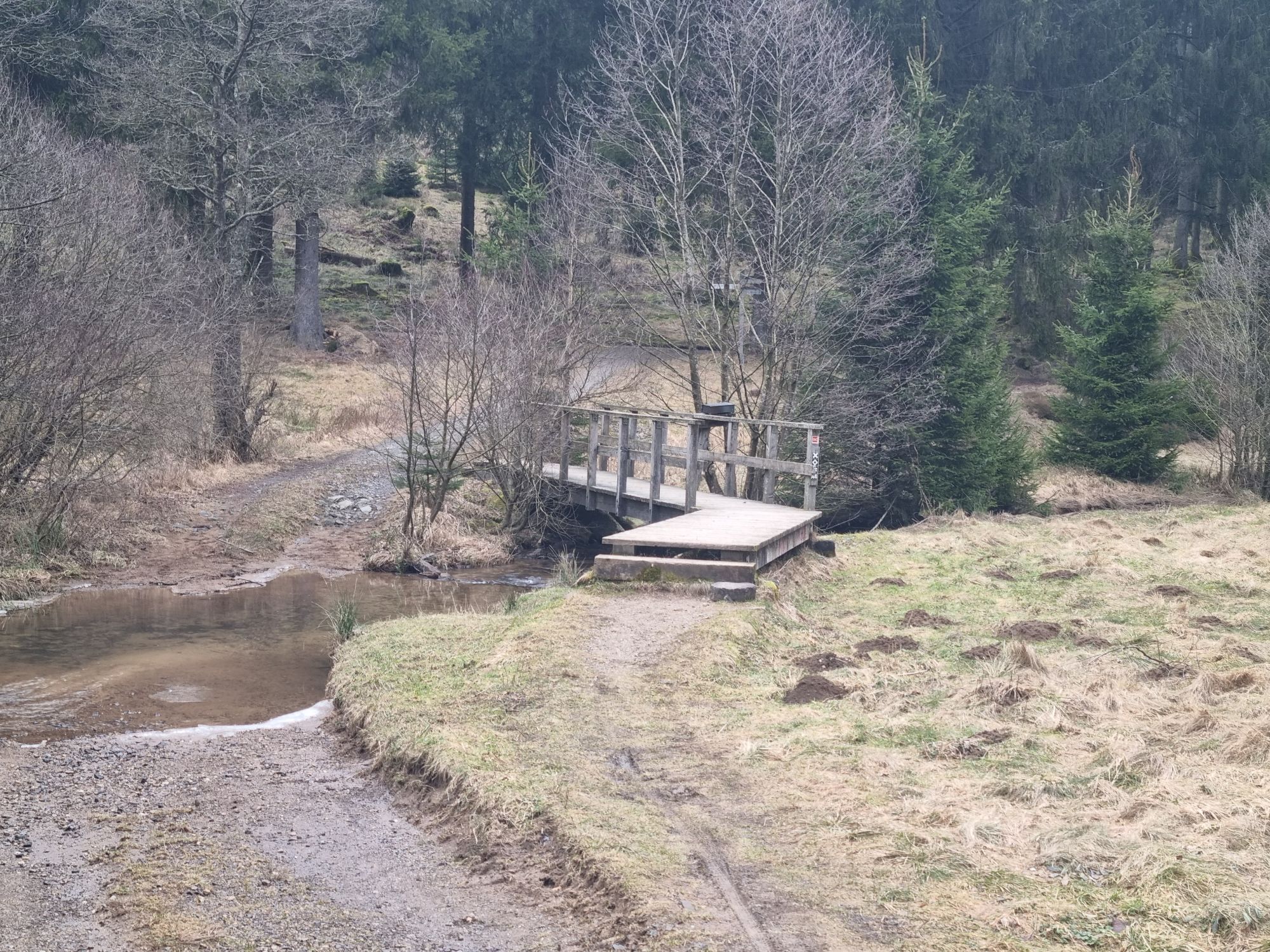
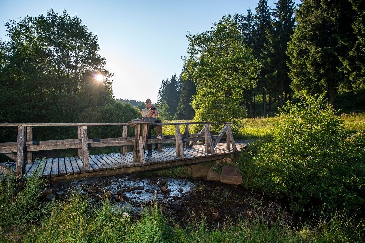
The 24-meter-high Rhein-Weser-Turm is the starting point for the Rothaarsteig stage. From the observation platform, you enjoy a panoramic view of Sauerland and Siegerland. Passing the wildlife park Panorama Park Sauerland, the route descends into the Schwarzbachtal nature reserve. On a nature trail in Schwarzbachtal, you gain insights into life in and around the stream. Through the Haberg nature reserve, the route ascends to the Heinsberger high heath with a rich juniper population. In summer, you can find blueberries along the way and admire the pink-white blooming heath.
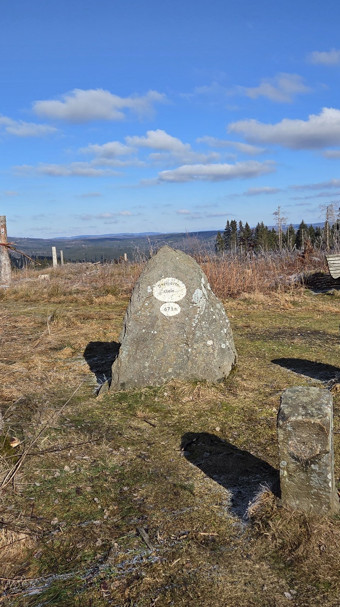
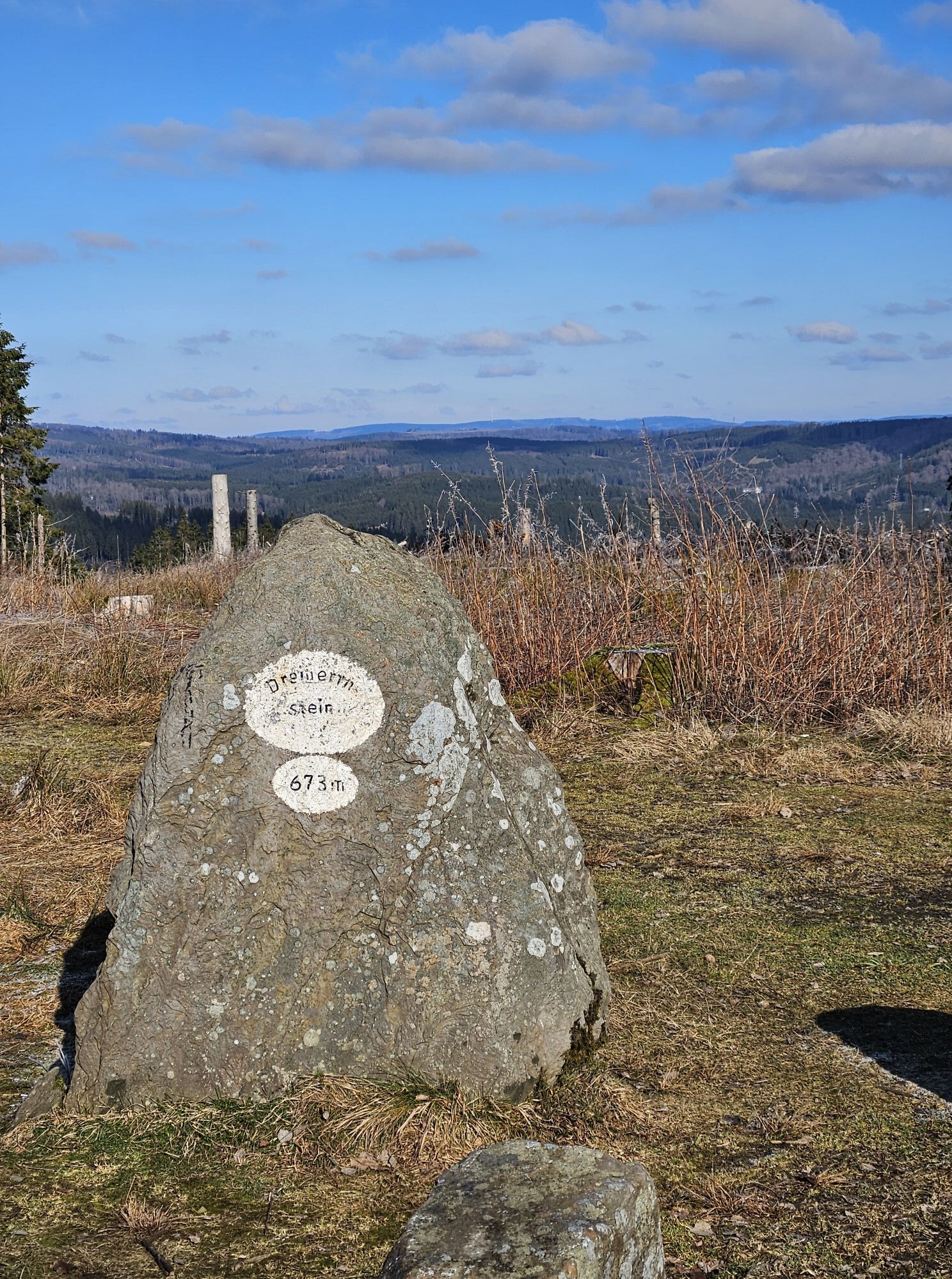
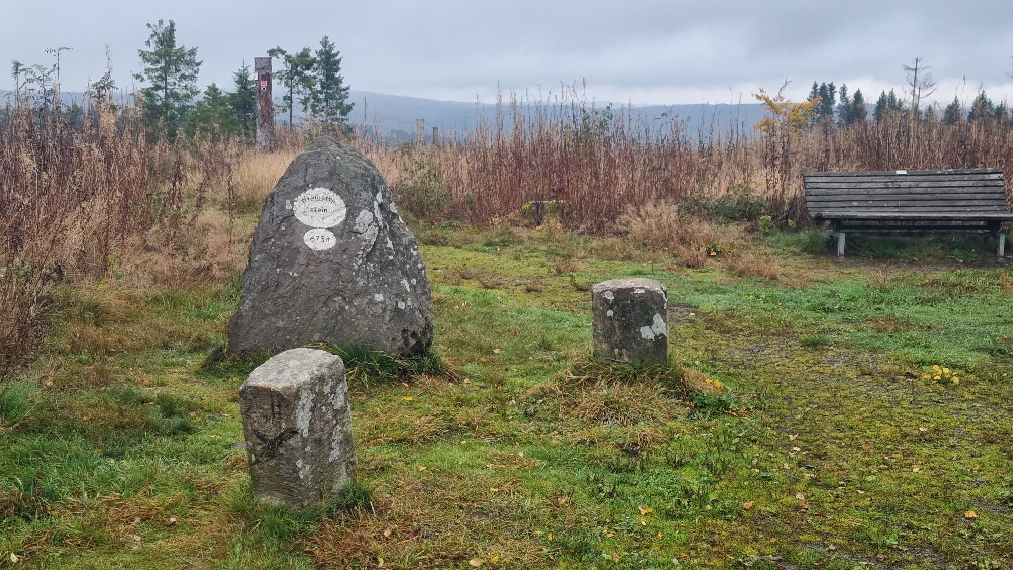
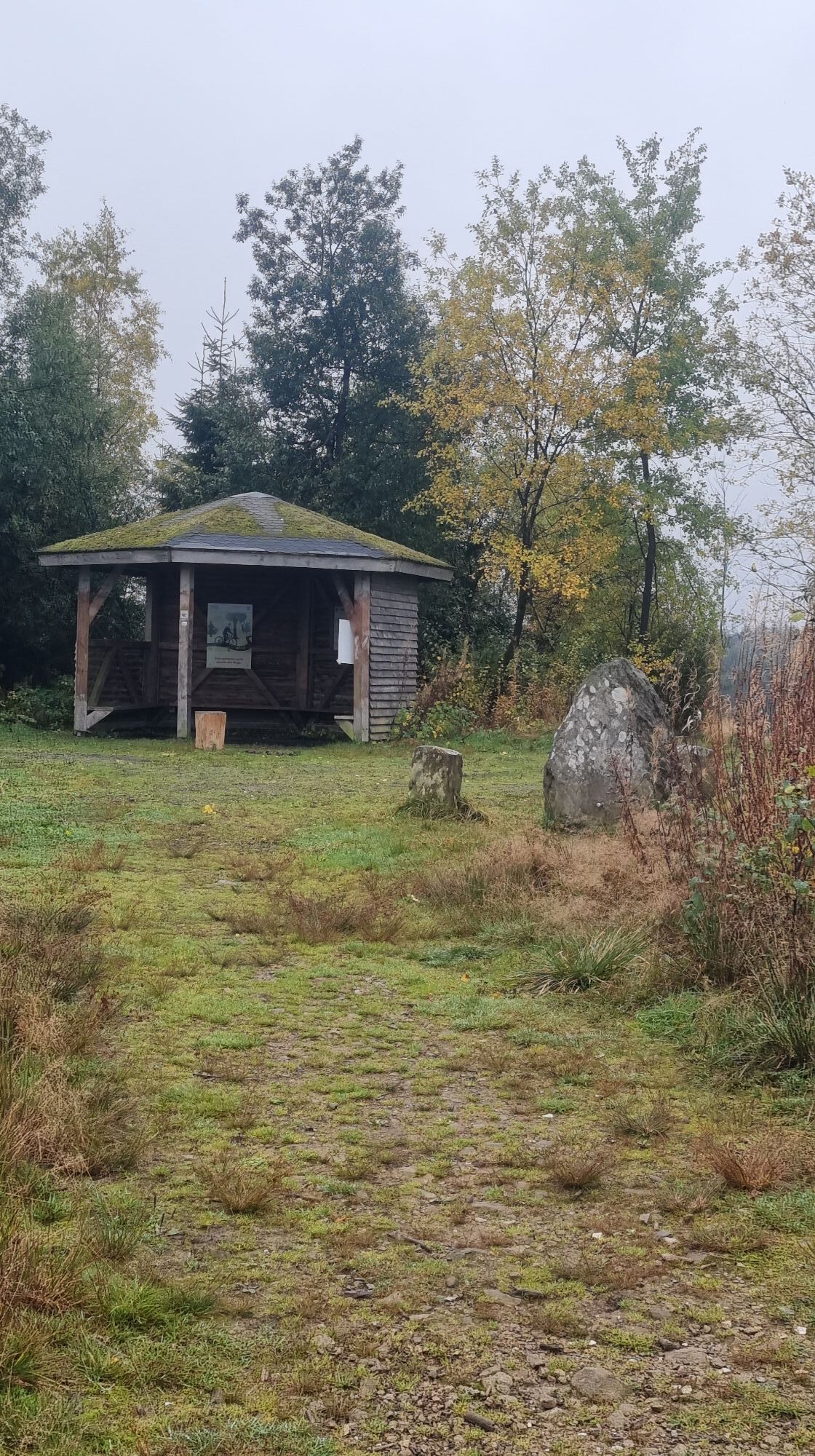
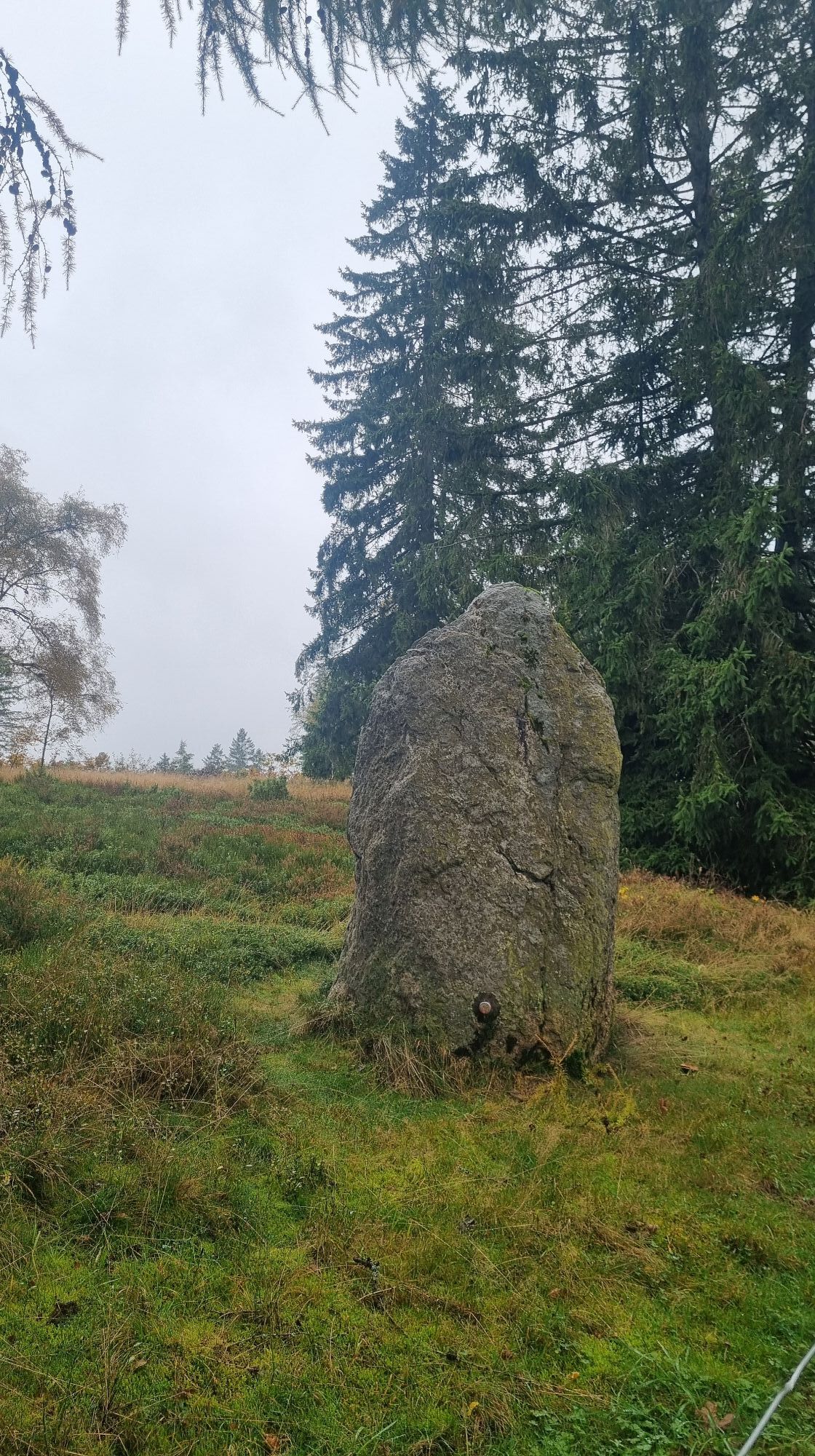
At Dreiherrnstein, the former state borders of Nassau, Westphalia, and Kurköln met. Over the Oberndorfer Höhe, it is not far to the Ferndorf spring, a 24-kilometer-long tributary of the Sieg. A few kilometers further, and the goal of the stage, the Ginsberger Heide, is reached.

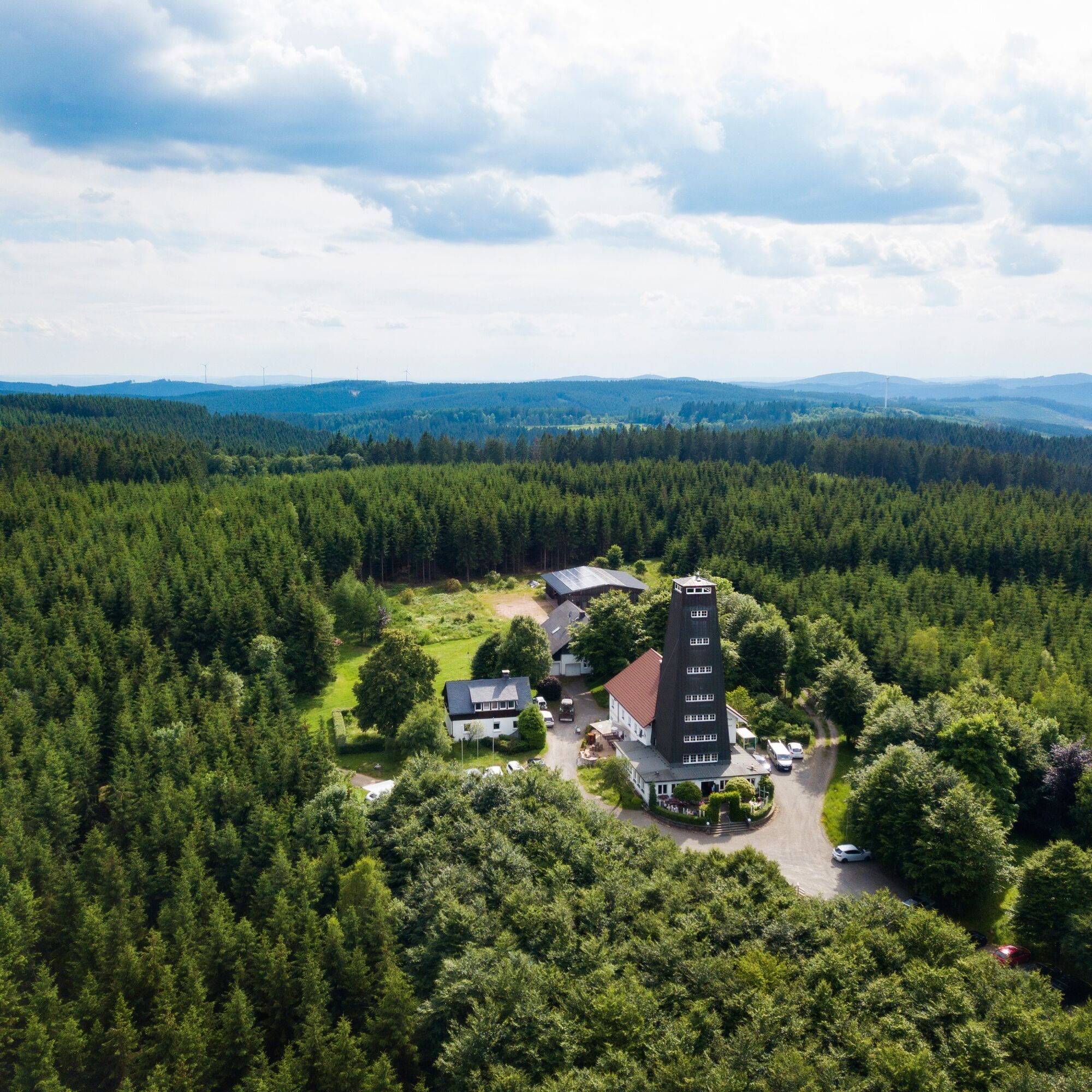
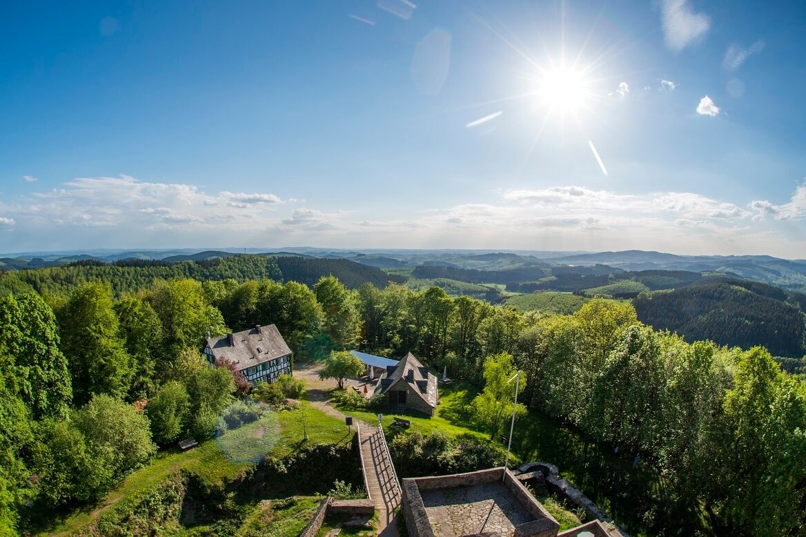
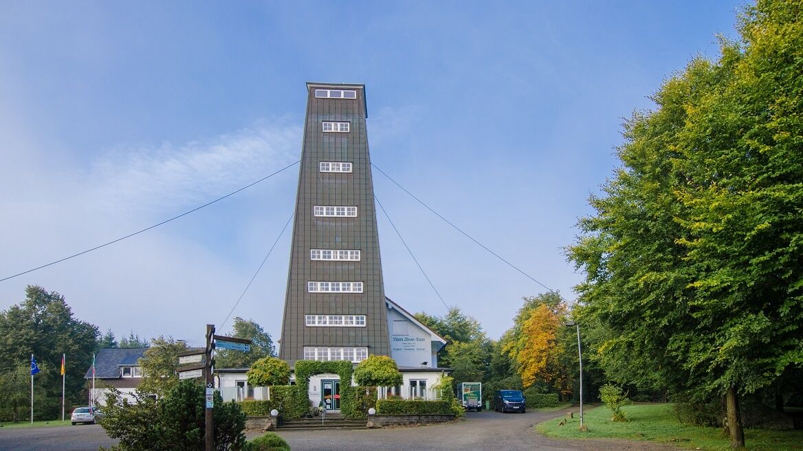
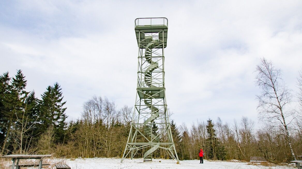

Rhein-Weser-Turm - Schwarzbachtal - Dreiherrnstein - Ferndorf Spring - Ginsberger Heide
The Rothaarsteig leads over numerous natural paths away from agricultural and forestry roads. Therefore, weatherproof clothing and sturdy shoes are a must for every hike. We want you not only to be "dry" but also to experience the "way of the senses" with "good" feet.
In our small hiking shop at www.rothaarsteig.de/shop, you will also find a selection of Rothaarsteig items to prepare for your route or as souvenirs. We also gladly recommend the durable and quality outdoor equipment of our long-standing partner, the outdoor outfitter Tatonka.
Hiking backpack
With a suitable hiking backpack, your route on the Rothaarsteig is twice as much fun! Hiking backpacks offer very comfortable carrying properties through a ventilated carrying system, as it ensures that sweat can immediately evaporate. They can be secured with a chest or hip belt and thus fit tightly on the back during every movement. They are also equipped with a practical holder for hiking sticks and often offer a compartment with an outlet for a hydration bladder, ensuring fluid supply at any time.
Here you will find hiking backpacks from the outdoor outfitter Tatonka in various sizes for day hikes and multi-day routes with different ventilated back systems.
First aid kit
To enjoy your hike on the Rothaarsteig without restrictions, a first aid kit belongs in your backpack for safety reasons. Nothing is more annoying than a blister on the foot or minor injuries that cannot be properly treated immediately. Tatonka's first aid kits are filled with all the essential materials for initial treatment of injuries and also contain an "outdoor cheat sheet" with concise and clear guidance for the correct behavior in emergencies in the open nature. Here you will find the first aid kits from Tatonka!
Food and drinks
On some stages, especially between Lahnhof and Dillenburg, there are unfortunately no opportunities to eat along the way. Remember especially here to pack food and drinks. Adequate fluid intake is particularly important in summer.
Tatonka's stainless steel bottles, stainless steel vacuum flasks, and stainless steel lunch boxes are not only practical but also unbreakable and durable.
Information about the rescue panels on the Rothaarsteig
Hiking trails mostly run away from towns and settlements, and everyone who hikes has surely thought about what would happen if there were an emergency. How can I be found here? Where exactly am I? Can the rescue service reach me?
In an emergency, speed is essential! Therefore, the Rothaarsteig is continuously equipped with so-called rescue signs. On the green-white plaques attached to the posts of the signposts, there is a number you must provide when making an emergency call. This way, the rescue personnel know exactly where you are, and valuable time can be saved.
Note on increased forest fire risk
Please be aware that due to dryness, there is currently an increased risk of forest fires! Please observe the following instructions:
Observe the legal ban on smoking in the forest - it applies in spring, summer, and autumn, specifically from March 1 to October 31. Observe the ban on open fires in the forest and within 100 meters of the forest. Take glass out of the forest - the burning glass effect can cause forest fires.If it is (too) late:
Extinguish small initial fires if it is safe for you to do so. Check the spot carefully if necessary. Report fires using the "112" emergency number. Leave the danger area by the shortest route.The forest thanks you!
You can reach Hilchenbach-Lützel via the RB93 train line. Unfortunately, the Rhein-Weser-Turm has only limited access to public transport. From Altenhundem and Kirchhundem stations, there are taxi bus connections via Oberhundem to the Rhein-Weser-Turm (TaxiBus; Tel. 0800-3504045*Registration up to 45 minutes before departure between 8 am and 8 pm). From both stations, there are regular bus connections to Oberhundem. Here you then have to rely on a taxi to get to the Rhein-Weser-Turm.
More information can be found at www.bahn.de.
If you come by car, we recommend using public transport at the start of your route and parking your car at the endpoint. This way, you do not have to adhere to the bus/train timetable during the hike.
Free hiking parking is available at both the Rhein-Weser-Turm and in Hilchenbach-Lützel at the Gillerberg Tower.
Opportunities to eat
Station at Rothaarsteig DB - The Bistro Café HeimesHosts
Rhein-Weser-Tower Zur Hahnenquelle Landhaus Lenneper-Führt Inn "Zu den Linden" Backpackers Hostel on Rothaarsteig Country Inn Café Gut Ahe Farm Guesthouse Bertram Hotel Ginsberger HeideIf Hotel Ginsberger Heide is fully booked, you can hike about 5 km further via the Rothaarsteig to Hilchenbach-Lützel train station. From there, you can reach by train in 15 - 30 minutes the Hotel - Gasthof Siebel in Hilchenbach-Allenbach (stop Stift Keppel-Allenbach) or the Country Hotel Edermühle in Erndtebrück (stop: Erndtebrück station).
Infórmate
Siempre en directo con más de 9.500 webcams. bergfex Como usuario Pro, ahora puede ver las webcams correspondientes a muchos tours en la app de tours desde. Esto le permite ver las condiciones actuales directamente.
Rutas populares en los alrededores
-
5,0
Ruta Rothaarsteig Oberhundemer Bergtour
medioSenderismo 11,5 km -
5,0
Rothaarsteig
medioSendero de largo recorrido 152 km -
5,0
Excursión de calidad: Krenkeltal y Goldener Zapfen - paseo por las crestas entre los ríos Rin y Weser
medioSenderismo 11,3 km -
5,0
Von Schanze über den Rothaarsteig nach Jagdhaus (ÖPNV-Tour)
medioSenderismo 14,3 km -
5,0
Veischeder Sonnenpfad - Nordschleife
pesadoSenderismo 17,7 km -
4,0
Golddorf-Route Fleckenberg
medioSenderismo 10,8 km -
Veischeder Sonnenpfad
medioSenderismo 37,6 km -
5,0
Rundweg um Fleckenberg (F2)
medioSenderismo 13,9 km -
Lahnwanderweg 01. Etapa Fuente del Lahn – Feudingen
medioSenderismo 14,3 km -
4,0
Rothaarsteig-Spur - Zinser Grenzpfad
medioSenderismo 14,4 km
Senderismo y rastreo


No se pierda las ofertas y la inspiración para sus próximas vacaciones
Su dirección de correo electrónico se ha añadido a la lista de correo.





