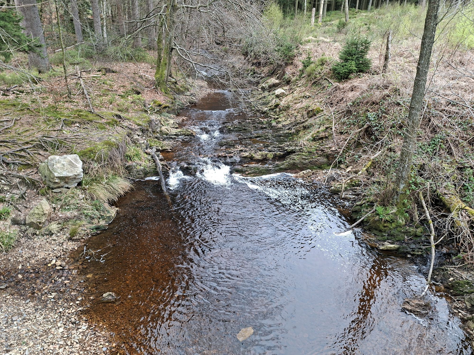
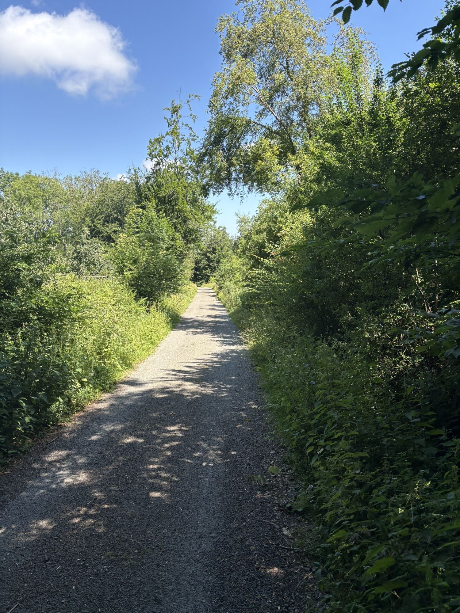
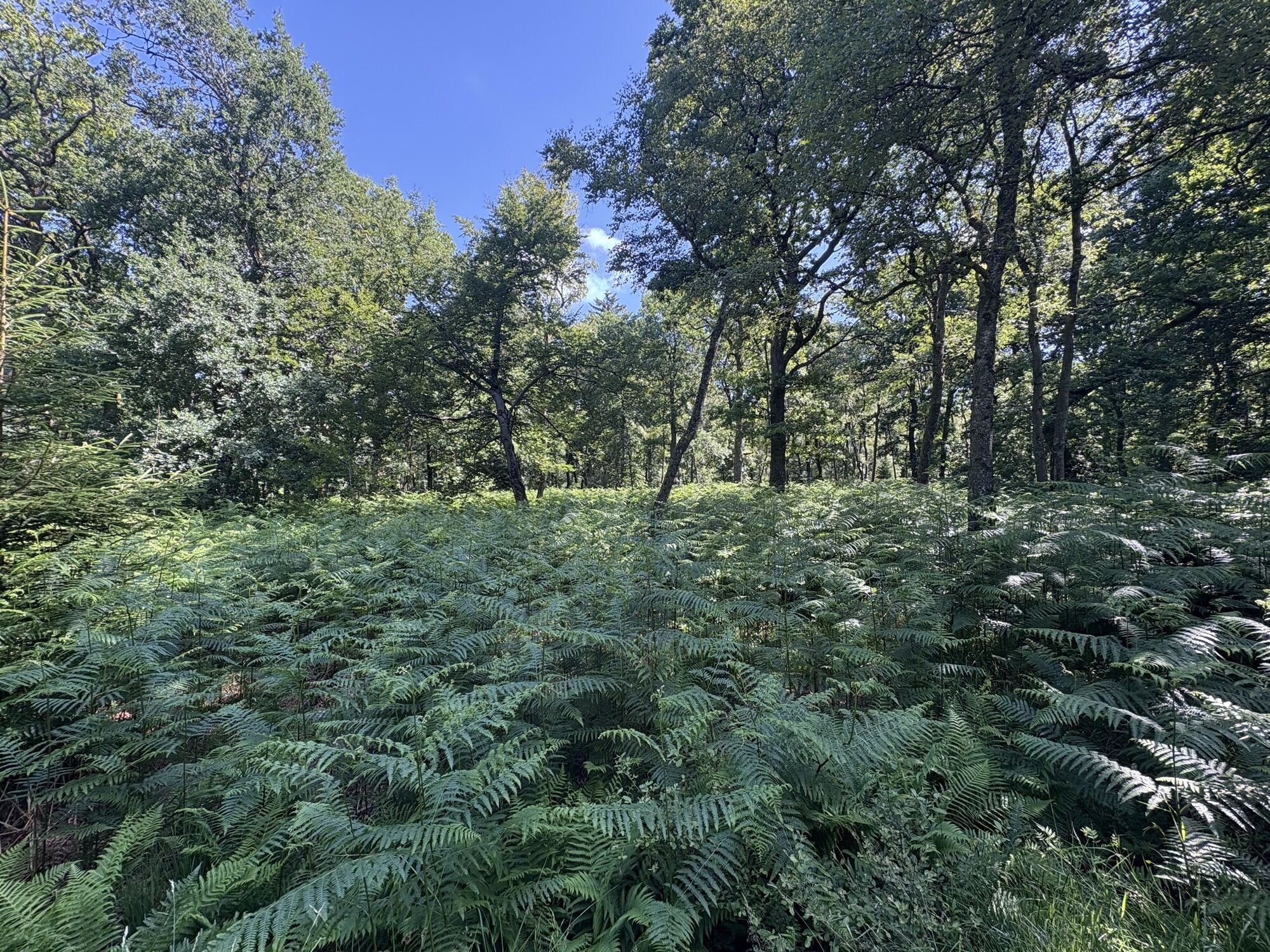
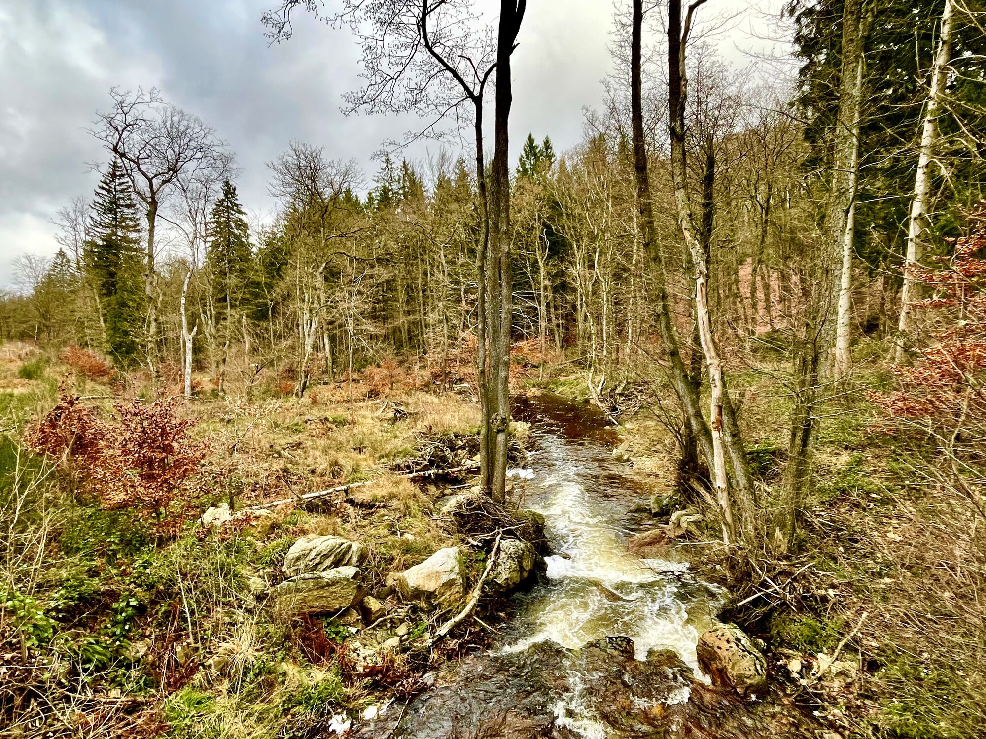
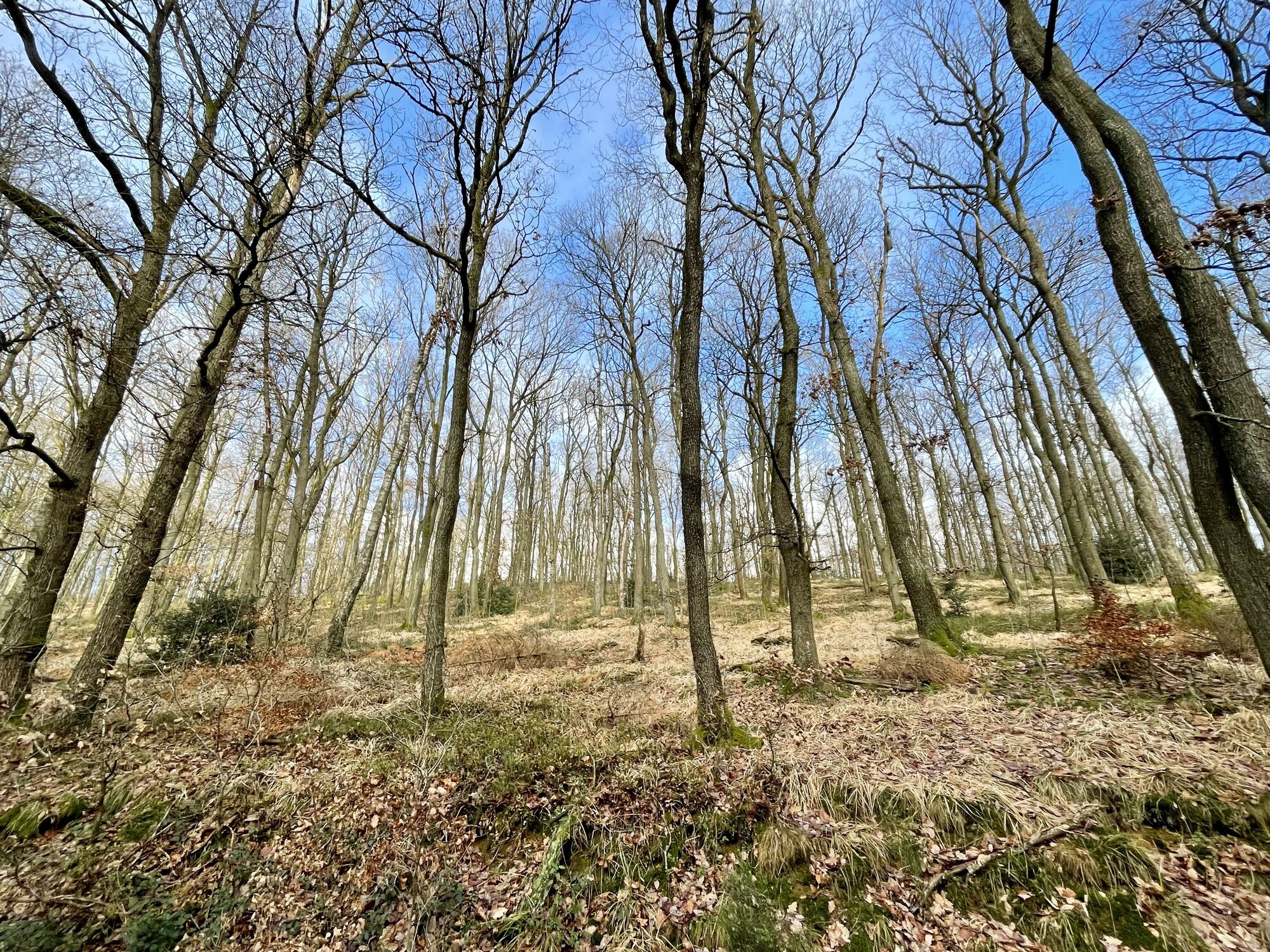
Stolberg Altstadt - Bergkirche St. Stephanus - Propsteikirche St. Kornelius - Kapelle Reinartzhof
medio
Navegue por
Navegue por
Consigue este tour en tu móvil
Stolberg Altstadt - Bergkirche St. Stephanus - Propsteikirche St. Kornelius - Kapelle Reinartzhof
medio
Gravelbike
76,03
km
Escanee el código QR e inicie la navegación en la aplicación bergfex

Senderismo y rastreo


Stolberg Altstadt - Bergkirche St. Stephanus - Propsteikirche St. Kornelius - Kapelle Reinartzhof
medio
Distancia
76,03
km
Duración
04:45
h
Ascenso
830
m
Nivel del mar
191 -
598
m
Descarga de pistas
Stolberg Altstadt - Bergkirche St. Stephanus - Propsteikirche St. Kornelius - Kapelle Reinartzhof
medio
Gravelbike
76,03
km

Ruta
Bergkirche St. Stephanus
(250 m)
Lugar de culto
7,8 km
Propsteikirche St. Kornelius
(229 m)
Lugar de culto
8,0 km
Hahn
(249 m)
Pueblo
10,9 km
Schmithof
(301 m)
Pueblo
14,6 km
Kapelle Reinartzhof
(501 m)
Lugar de culto
42,2 km
Schmithof
(301 m)
Pueblo
61,0 km
Bergkirche St. Stephanus
(250 m)
Lugar de culto
68,6 km
Ruta
Stolberg Altstadt - Bergkirche St. Stephanus - Propsteikirche St. Kornelius - Kapelle Reinartzhof
medio
Gravelbike
76,03
km
Stolberg Altstadt
(193 m)
Estación de ferrocarril
0,0 km
Stolberg
(189 m)
Ciudad
0,1 km
Dorff
(262 m)
Pueblo
5,8 km
Bergkirche St. Stephanus
(250 m)
Lugar de culto
7,8 km
Ehemalige Reichsabtei (Benediktinerabtei) Kornelimünster
(227 m)
Lugar de culto
8,0 km
Propsteikirche St. Kornelius
(229 m)
Lugar de culto
8,0 km
Kornelimünster
(225 m)
Barrio
8,1 km
Blick auf den historischen Ortskern Kornelimünster
(238 m)
Punto de vista
8,4 km
Itertalviadukt
(233 m)
Punto de vista
9,2 km
Hahn
(249 m)
Pueblo
10,9 km
Blick auf Hahn
(268 m)
Punto de vista
11,3 km
Bistro Blaustein
(276 m)
Restaurante
12,3 km
Walheim
(277 m)
Barrio
12,3 km
Pizzeria Bellini
(278 m)
Restaurante
12,4 km
Schmithof
(301 m)
Pueblo
14,6 km
Vennkreuz
(409 m)
Corredor/terreno
22,9 km
Verbrannte Brücke
(534 m)
Corredor/terreno
34,9 km
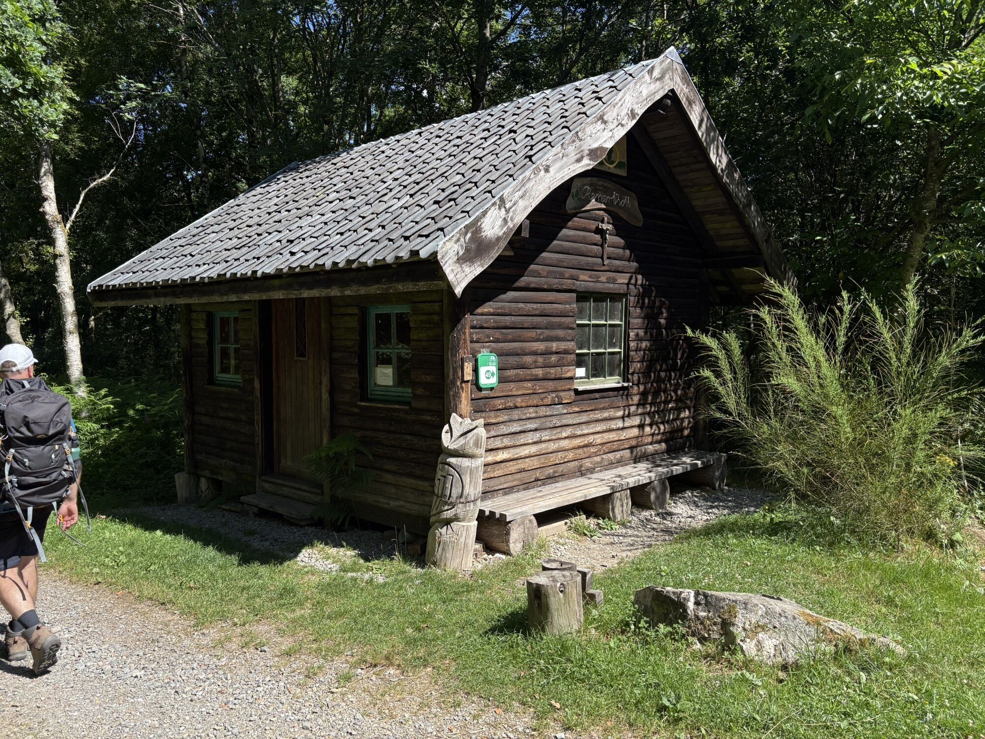
Kapelle Reinartzhof
(501 m)
Lugar de culto
42,2 km
Petergensfeld
(424 m)
Pueblo
48,1 km
Wanderstation
(417 m)
Refugio (no gestionado)
48,5 km
Höhe413
(411 m)
Punto de vista
50,7 km
Schmithof
(301 m)
Pueblo
61,0 km
Pizzeria Bellini
(278 m)
Restaurante
63,2 km
Walheim
(277 m)
Barrio
63,3 km
Bistro Blaustein
(276 m)
Restaurante
63,4 km
Blick auf Hahn
(268 m)
Punto de vista
64,2 km
Hahn
(249 m)
Pueblo
64,7 km
Itertalviadukt
(233 m)
Punto de vista
66,4 km
Blick auf den historischen Ortskern Kornelimünster
(238 m)
Punto de vista
68,3 km
Kornelimünster
(225 m)
Barrio
68,5 km
Bergkirche St. Stephanus
(250 m)
Lugar de culto
68,6 km
Dorff
(262 m)
Pueblo
70,7 km
Stolberg
(189 m)
Ciudad
75,9 km
Stolberg Altstadt
(193 m)
Estación de ferrocarril
76,0 km
Autor
Proporcionado por Bergfex Tour Generator
Compartir gira
Stolberg Altstadt - Bergkirche St. Stephanus - Propsteikirche St. Kornelius - Kapelle Reinartzhof
medio
Gravelbike
76,03
km
Error
Se ha producido un error. Por favor, inténtelo de nuevo.
Aún no hay opiniones
Rutas populares en los alrededores
-
4,7
Der Jahundertweg
pesadoSenderismo 18,2 km -
4,5
Spuren der Allerseelenschlacht rund um Simonskall
pesadoSenderismo 17,2 km -
5,0
Monschau Runde #LL2ROM V02
medioSenderismo 4,08 km -
4,0
Durch das Hohe Venn bei Mützenich
medioSenderismo 16,3 km -
3,0
Von Roetgen ins Hohe Venn
medioSenderismo 14,5 km -
4,0
Monschau am rivier Roer
luzSenderismo 15,6 km -
4,0
Hohes Venn (Region Konzen)
medioSenderismo 14,6 km -
5,0
Drielandenroute
luzSenderismo 16,7 km -
4,5
Imgenbroich-Monschau
pesadoSenderismo 19,6 km -
5,0
Vom Mützenicher Venn Ins Brackvenn
luzSenderismo 9,54 km

Senderismo y rastreo

Más de 550.000 sugerencias de excursiones, mapas detallados y un intuitivo planificador de rutas hacen de esta aplicación una herramienta imprescindible para todos los amantes de la naturaleza.

No se pierda las ofertas y la inspiración para sus próximas vacaciones
Suscribirse al boletín de noticias
Error
Se ha producido un error. Por favor, inténtelo de nuevo.
Gracias por inscribirse
Su dirección de correo electrónico se ha añadido a la lista de correo.
Viajes por Europa
Austria
Suiza
Alemania
Italia
Eslovenia
Francia
Países Bajos
Belgium
Polonia
Liechtenstein
República Checa
Slovakia
España
Croacia
Bosnia y Herzegovina
Luxemburgo
Andorra
Portugal
Iceland
United Kingdom
Ireland
Greece
Albania
North Macedonia
Malta
Norway
Montenegro
Moldova
Kosovo
Hungary
San Marino
Romania
Estonia
Latvia
Belarus
Cyprus
Lithuania
Serbia
Bulgaria
Monaco
Denmark
Sweden
Finland