






Schwyzer Höhenweg
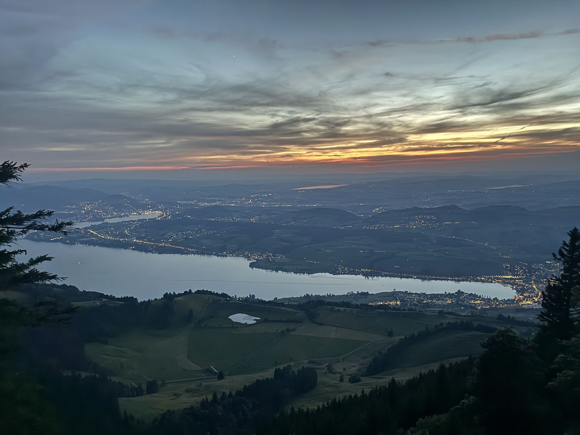
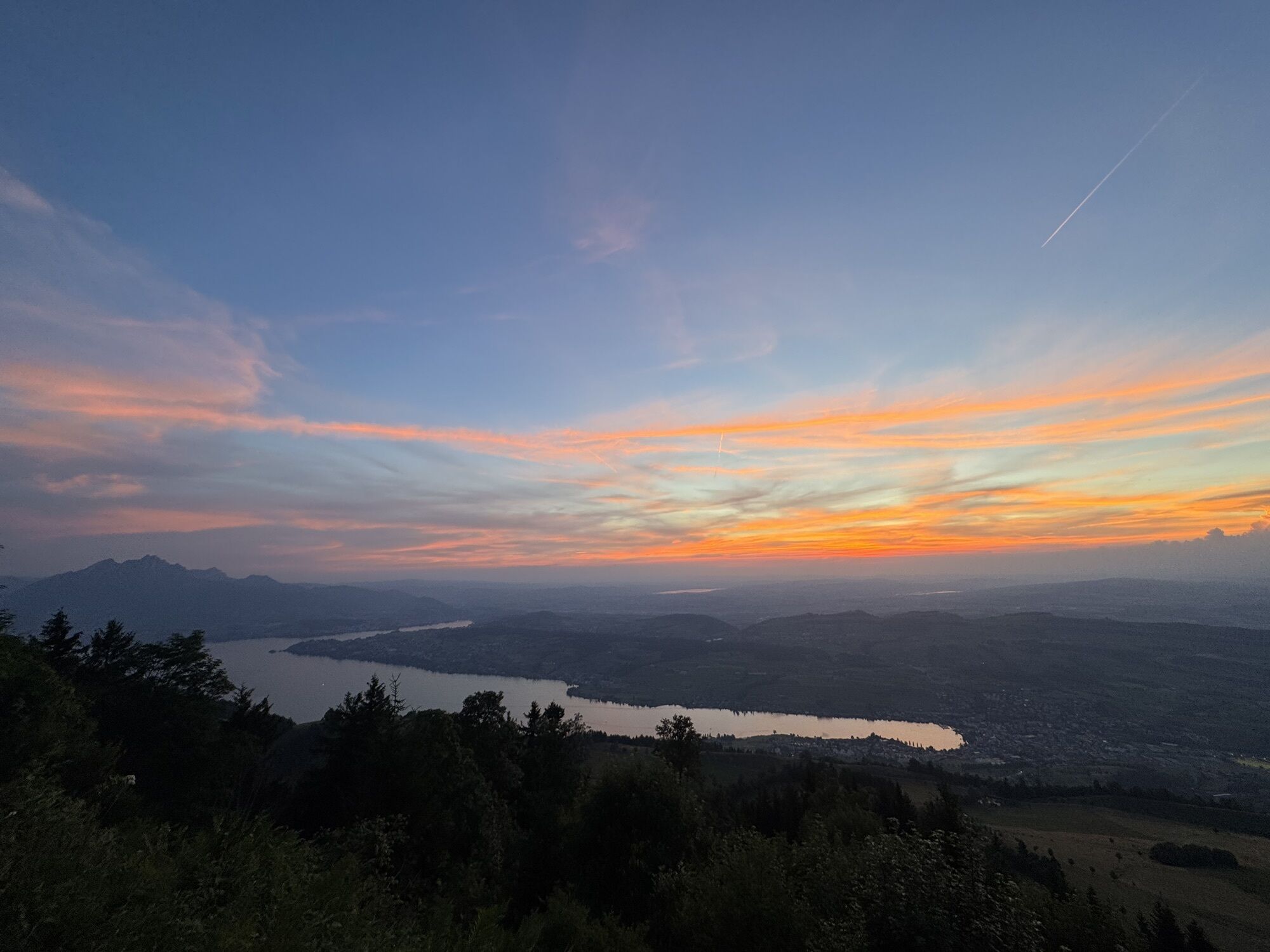
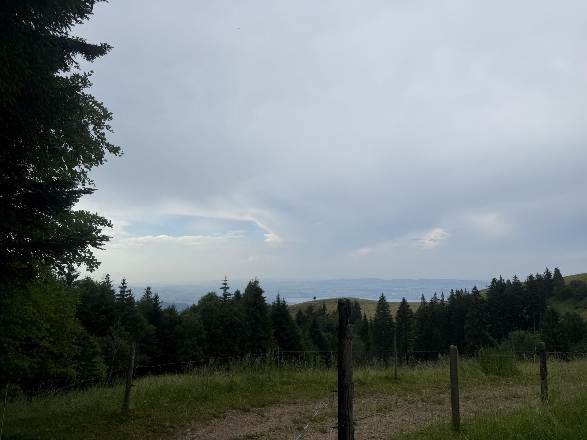
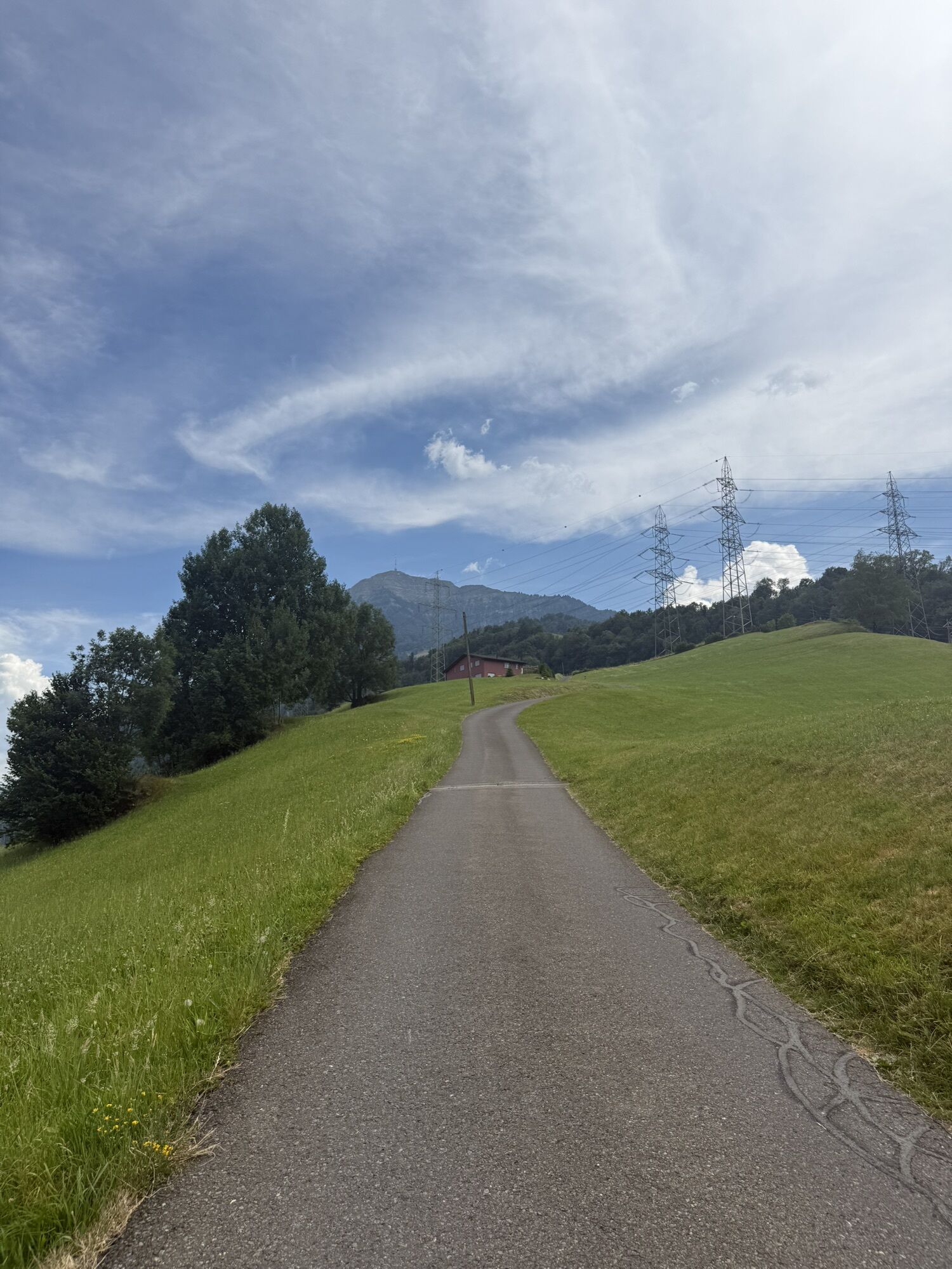
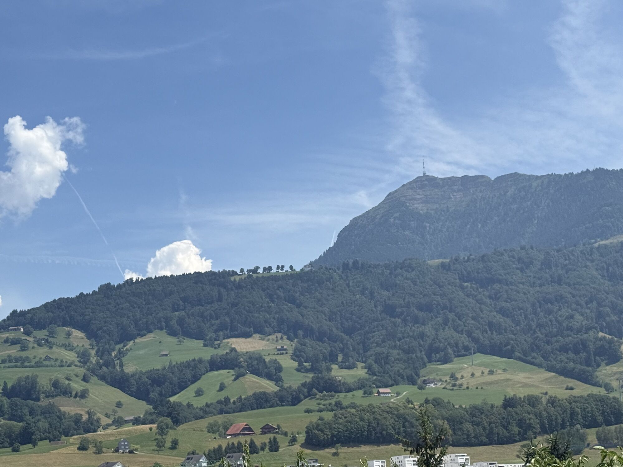
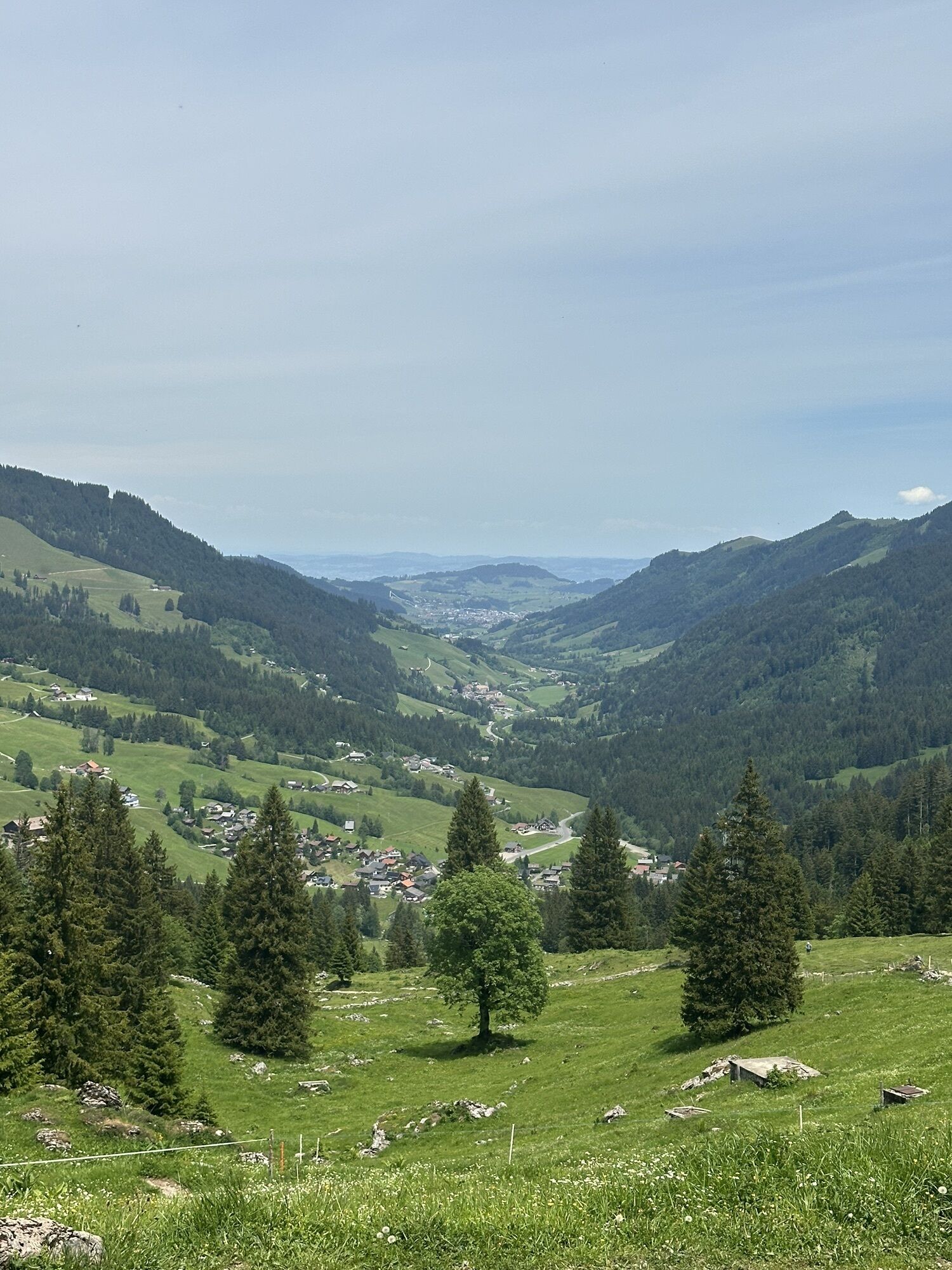
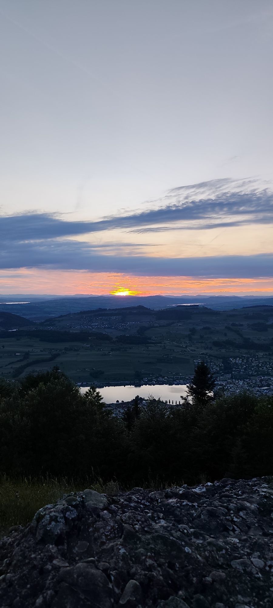
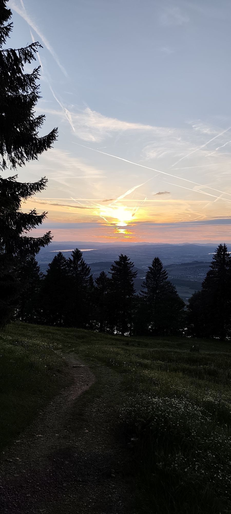
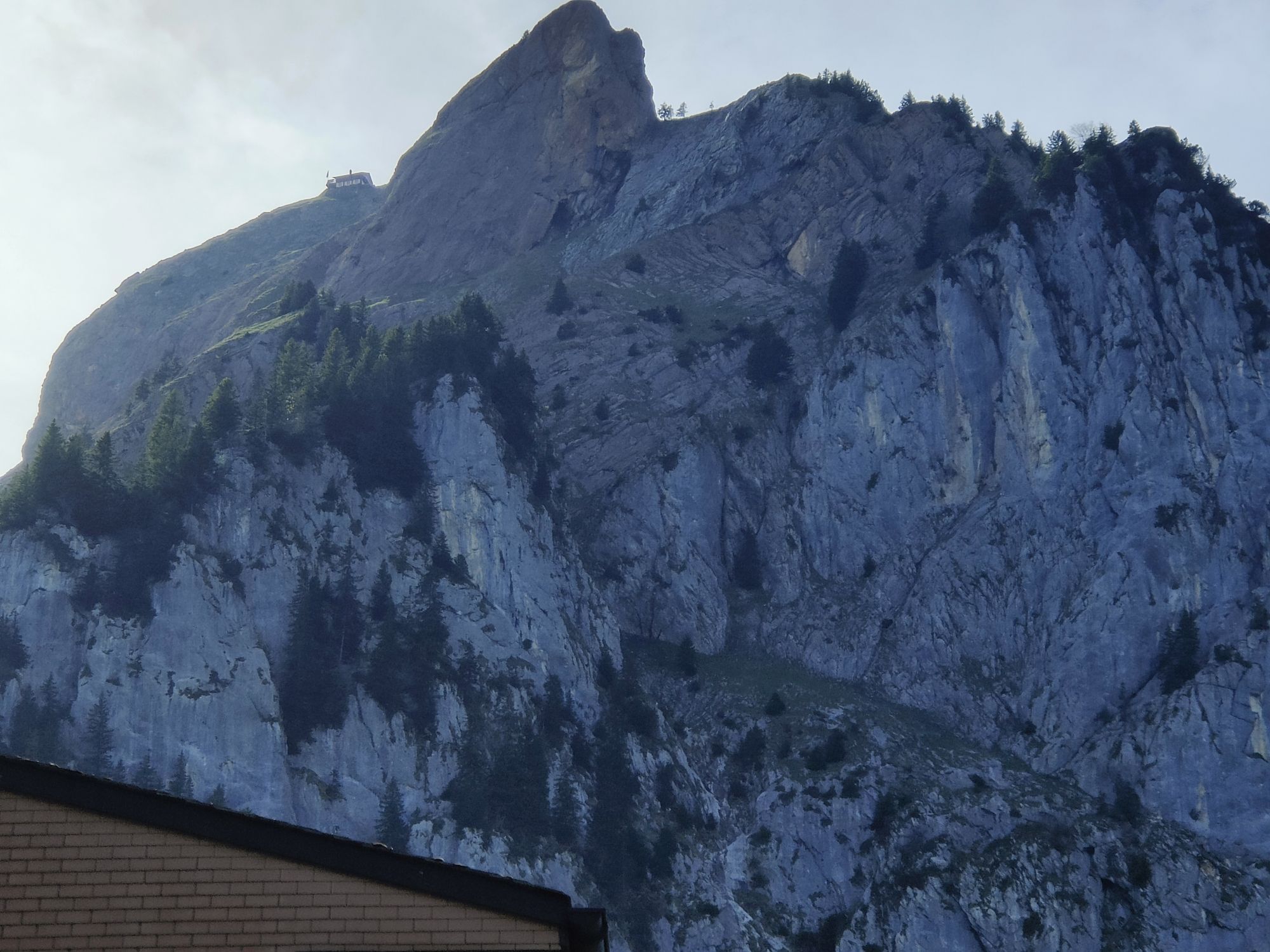
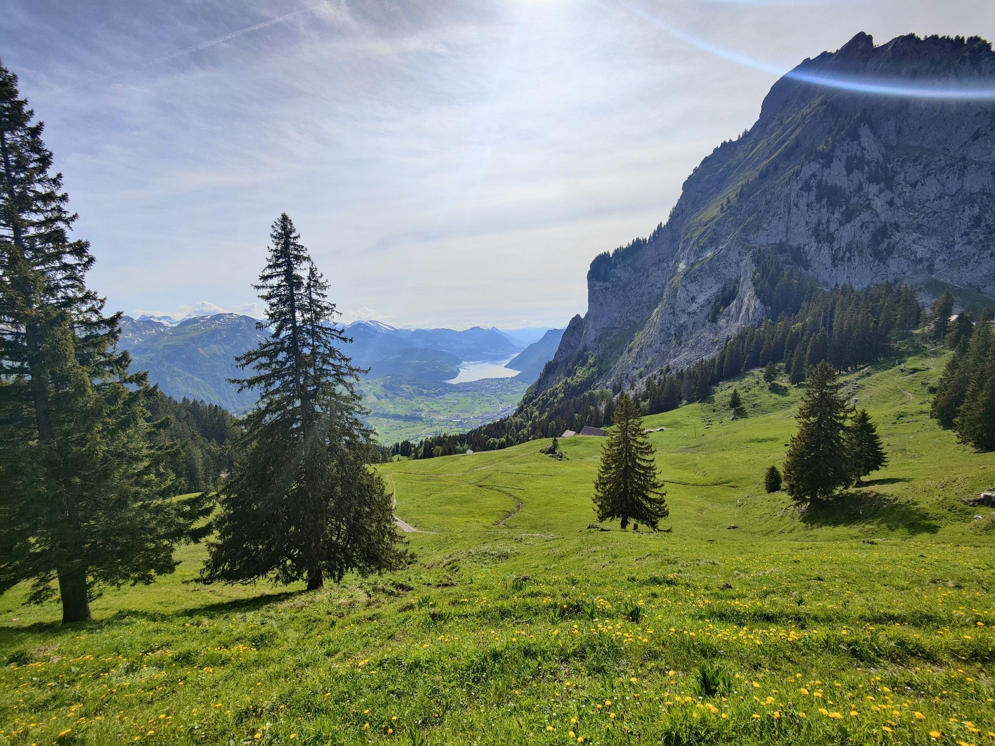
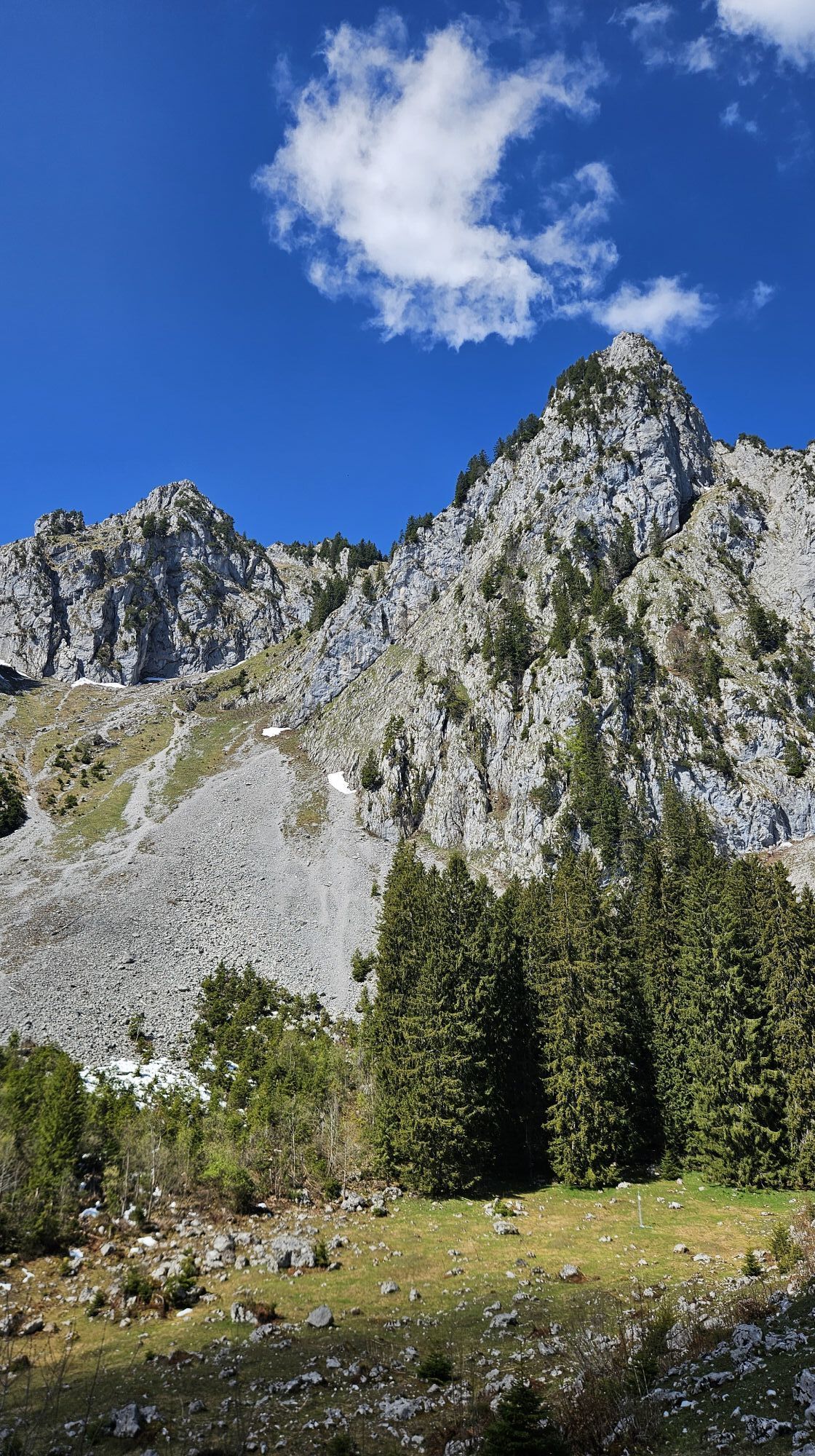
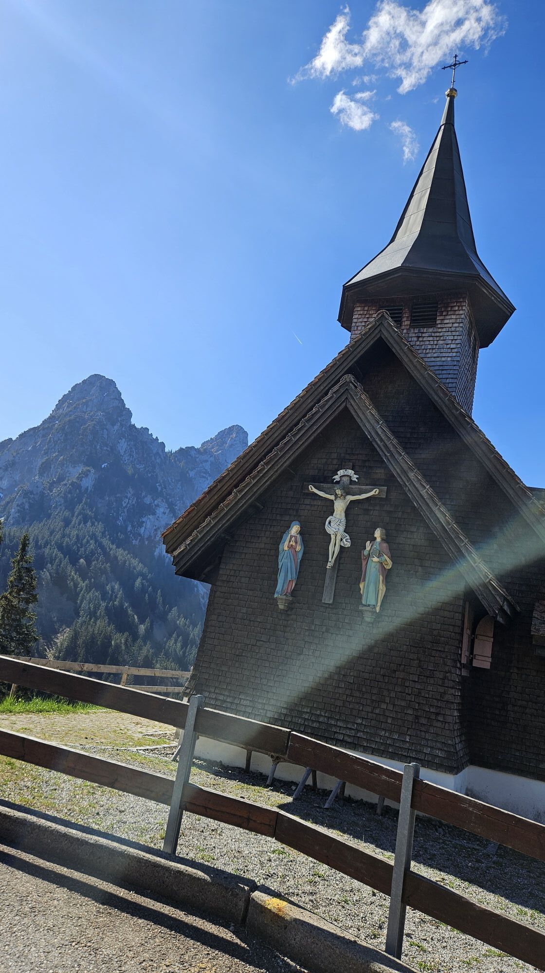
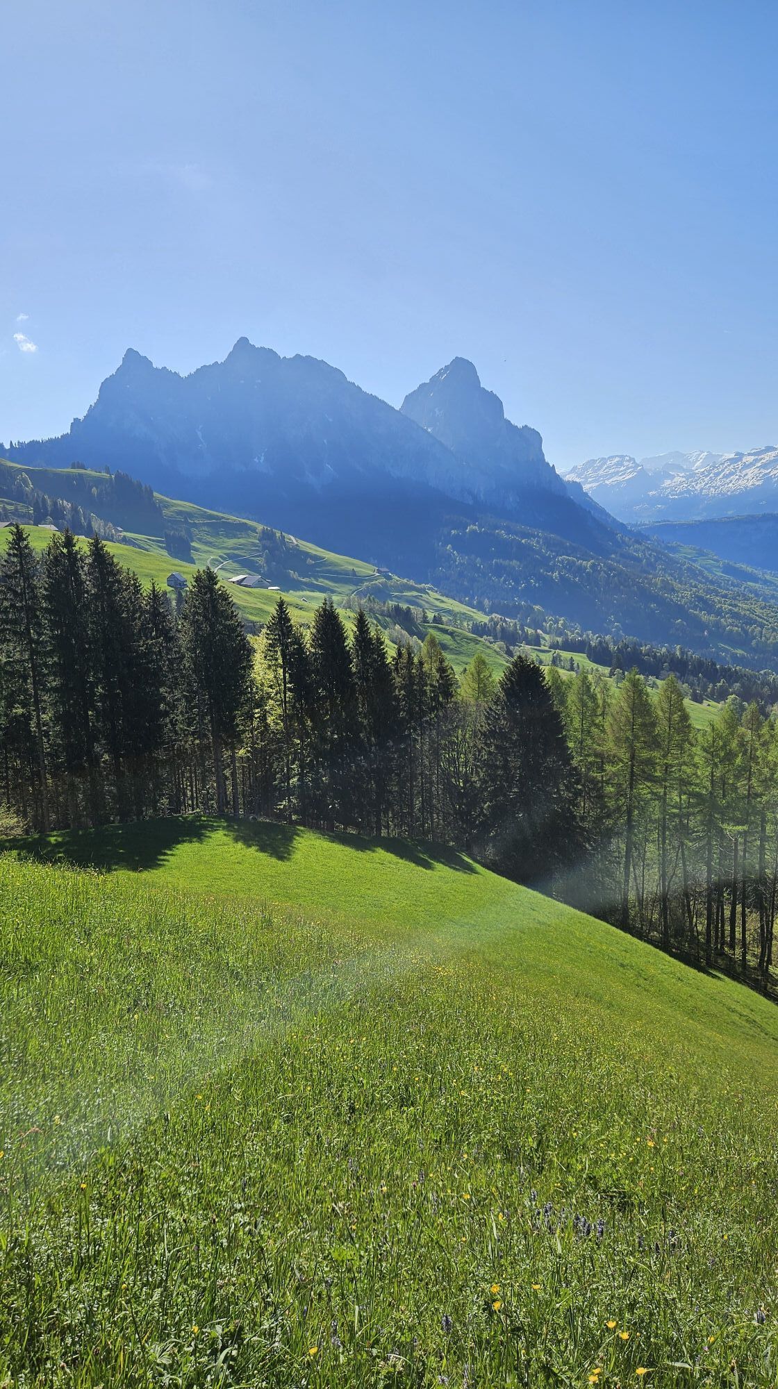
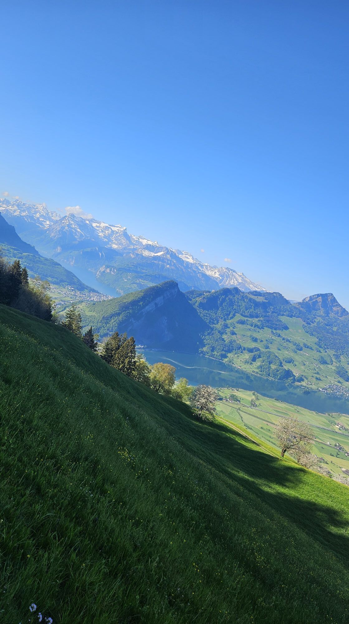
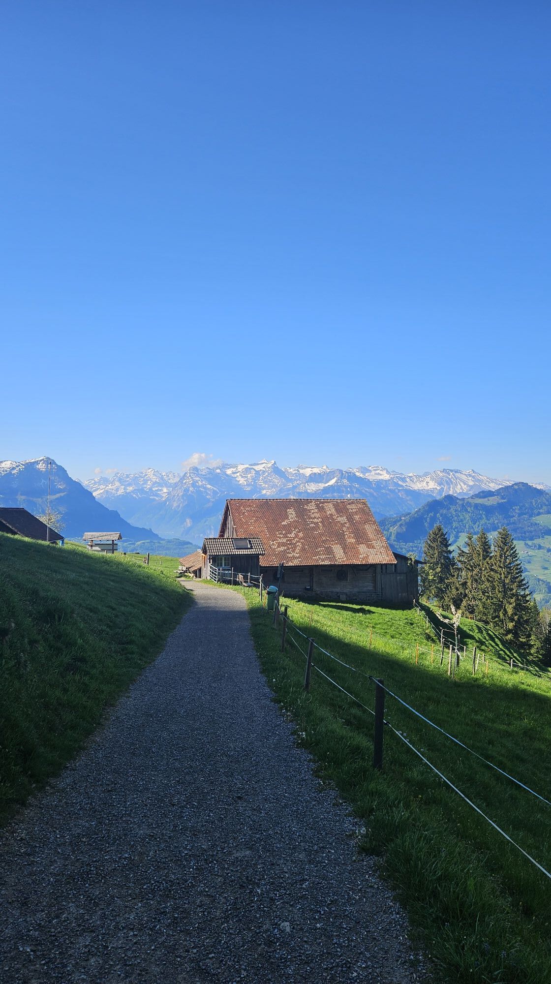
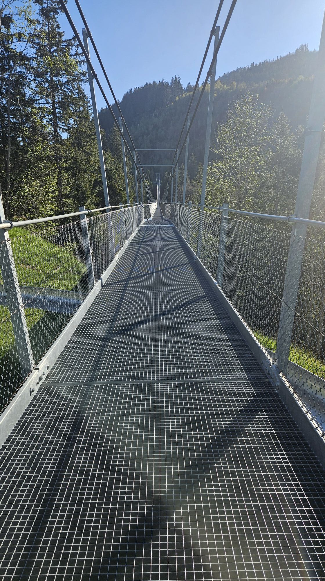
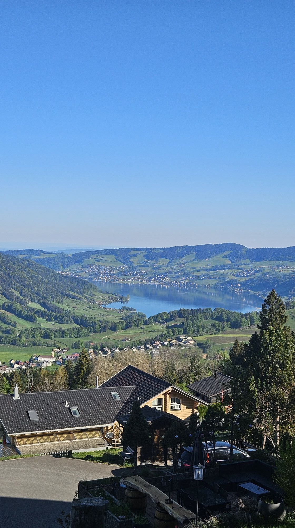
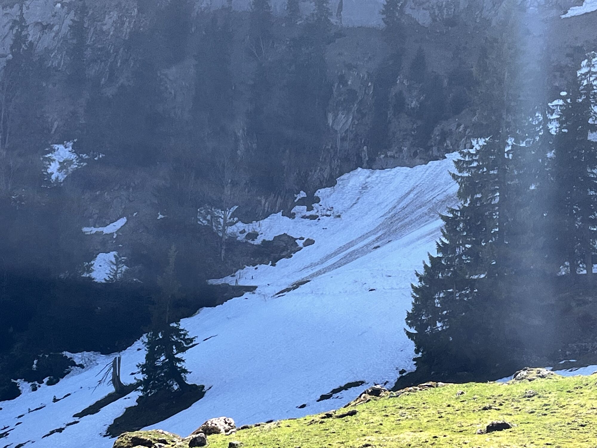
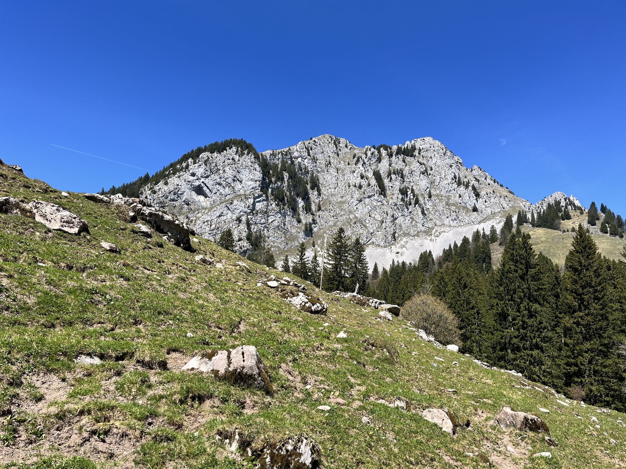
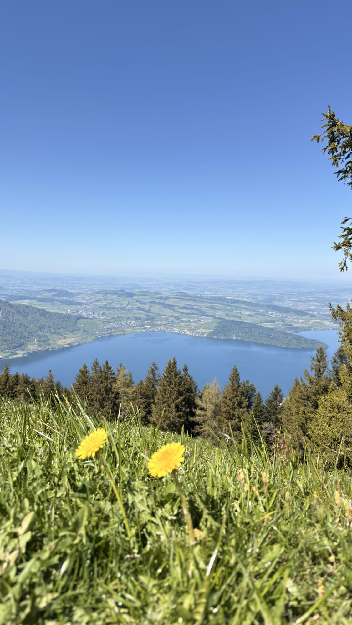
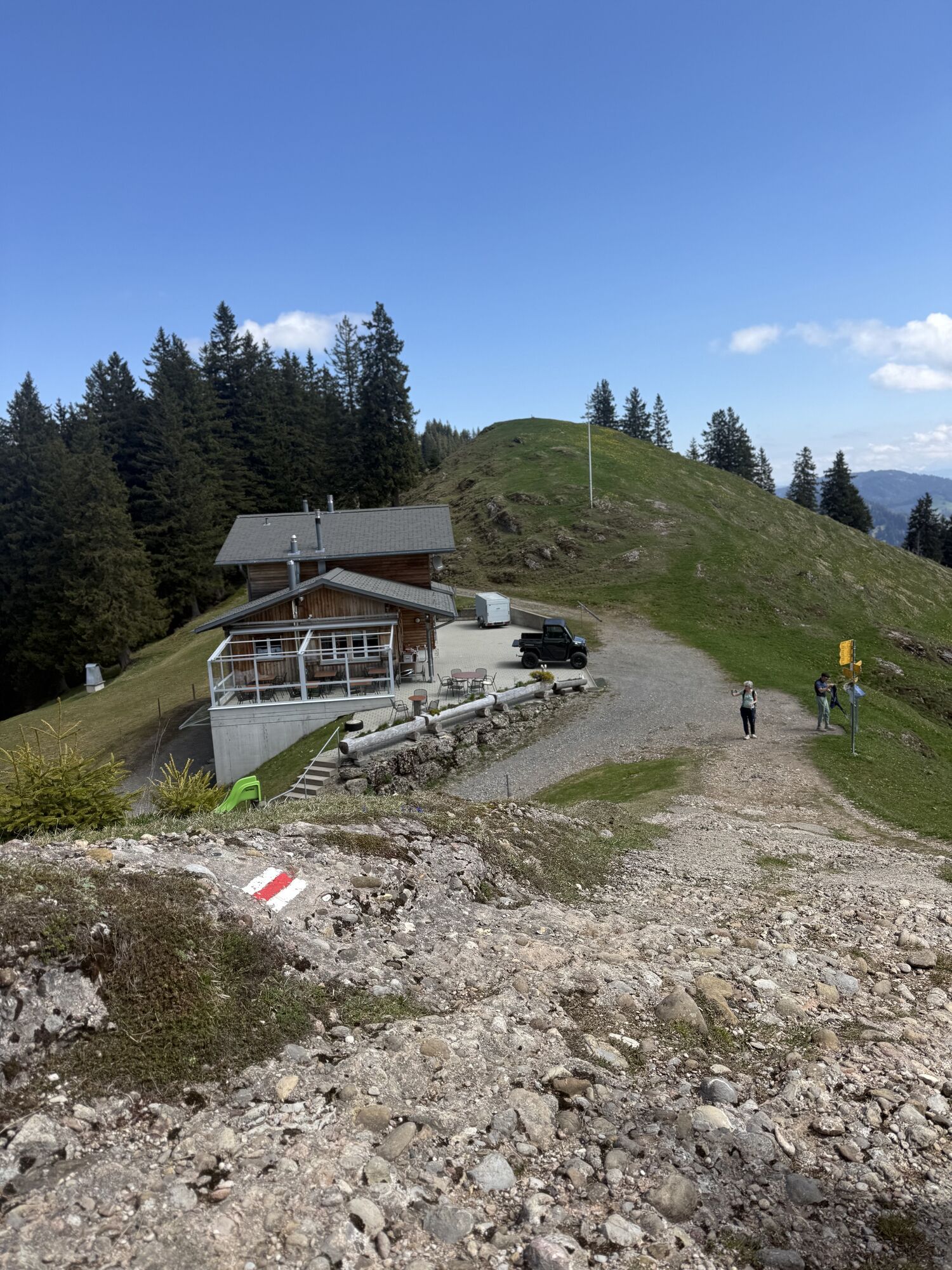
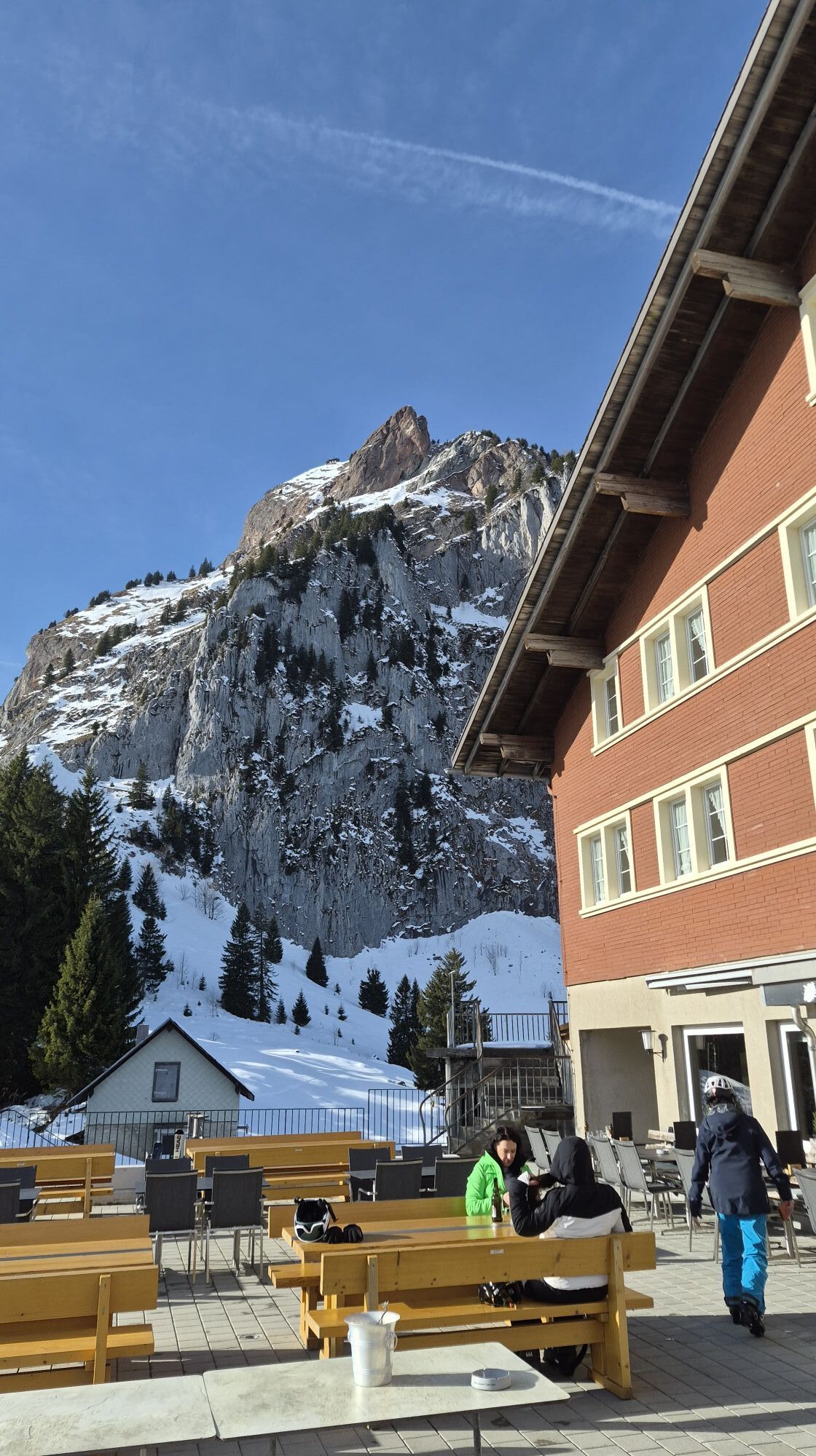
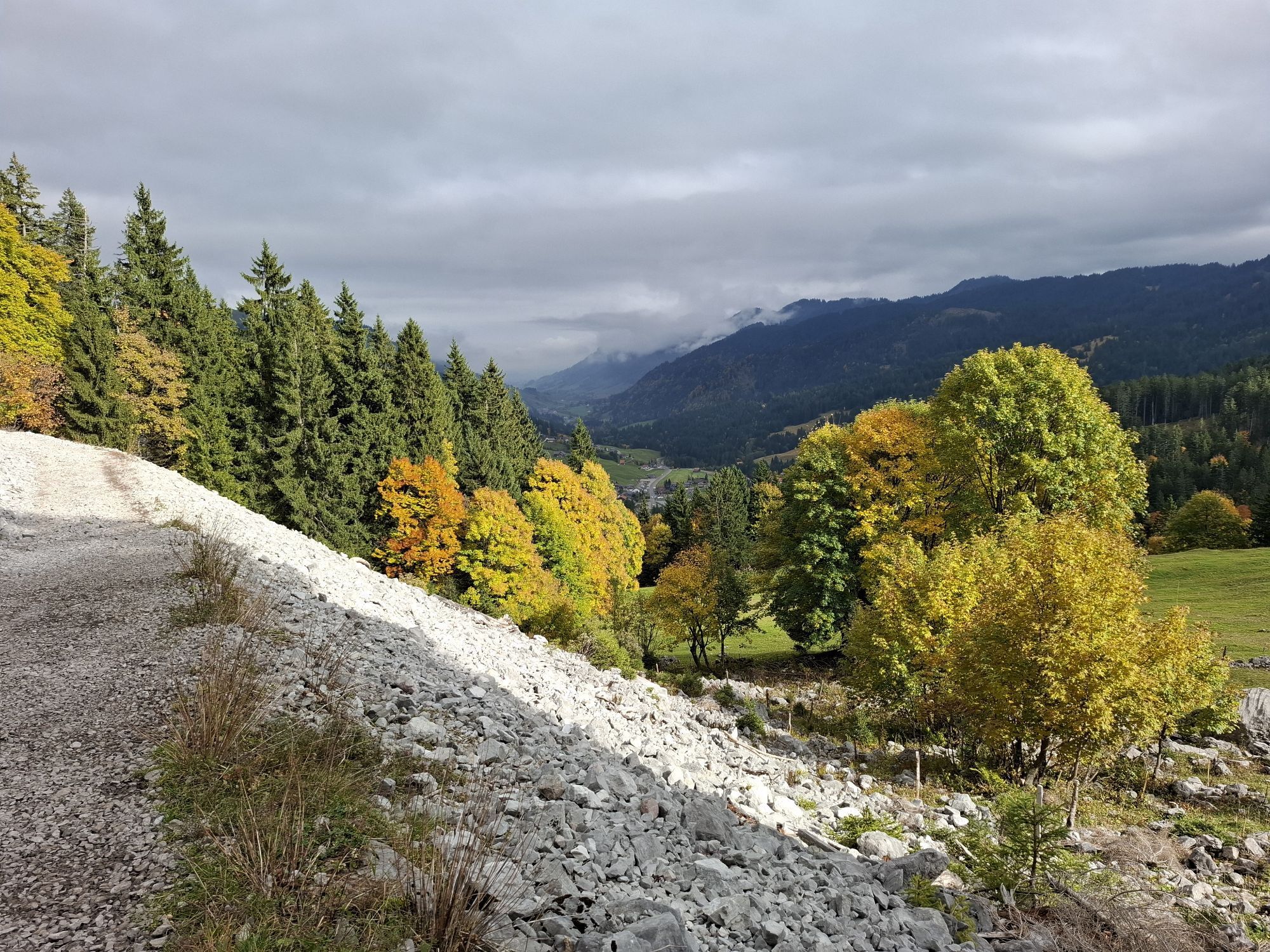
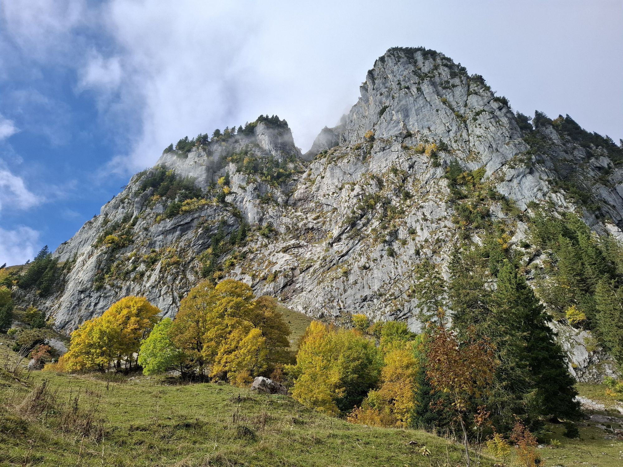
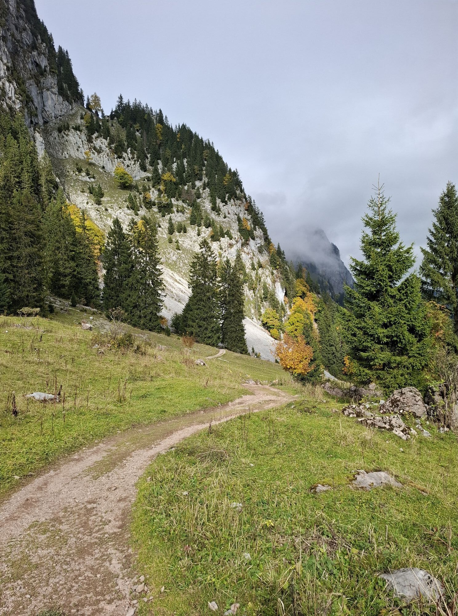
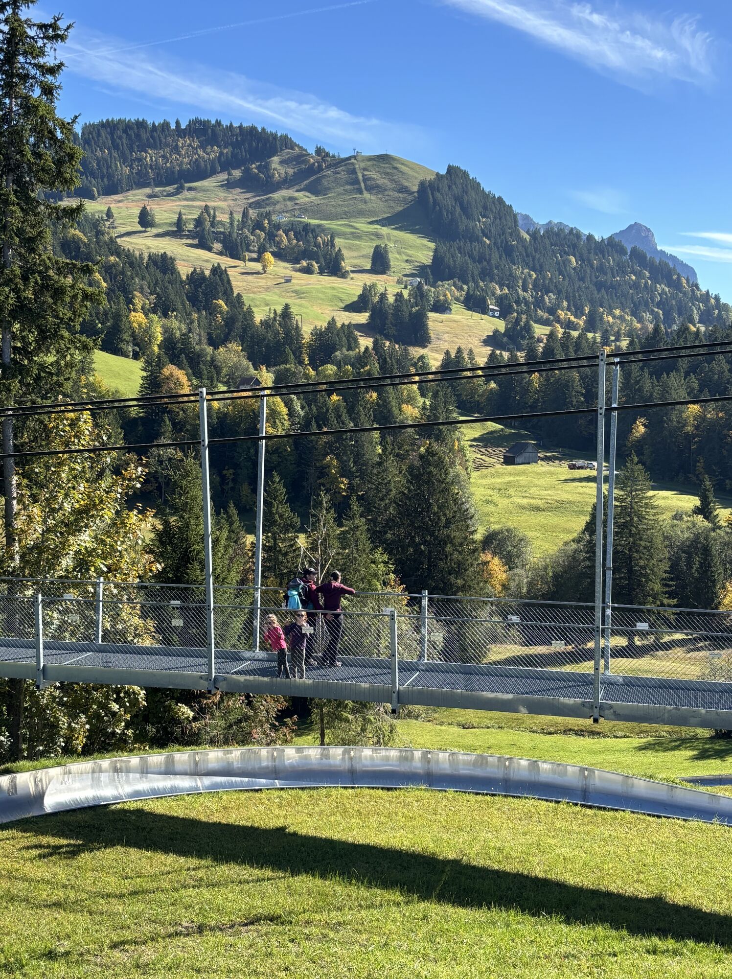
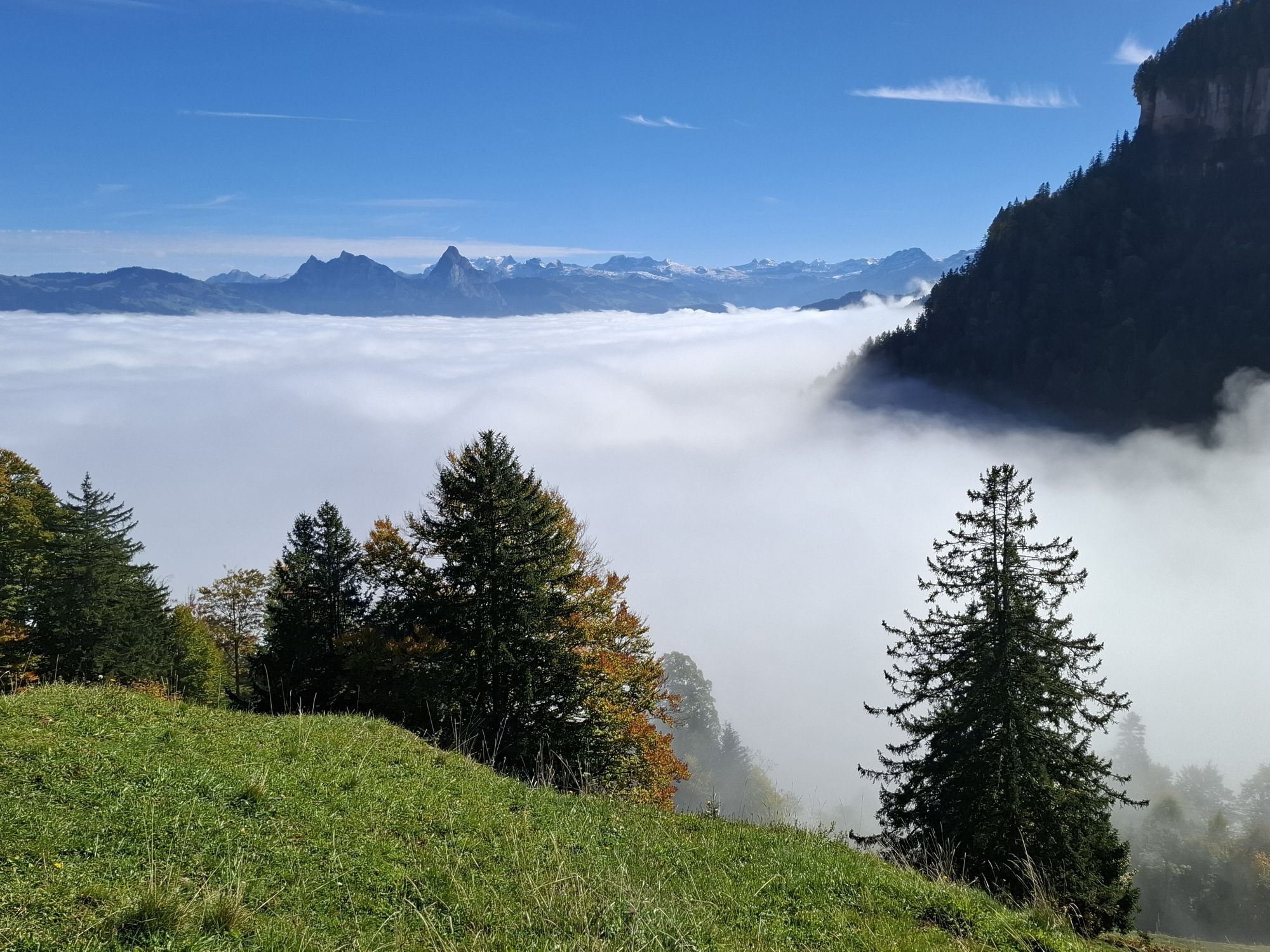
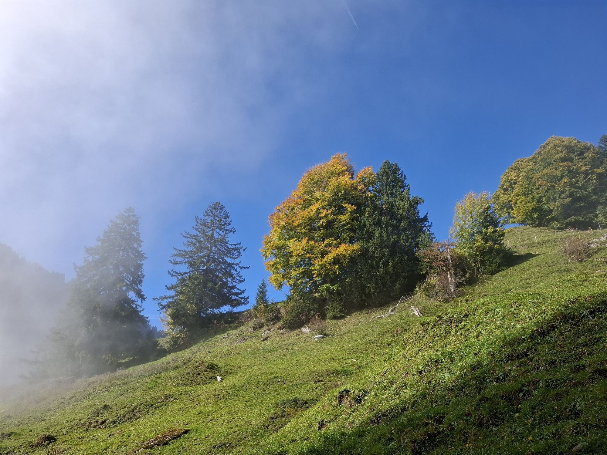
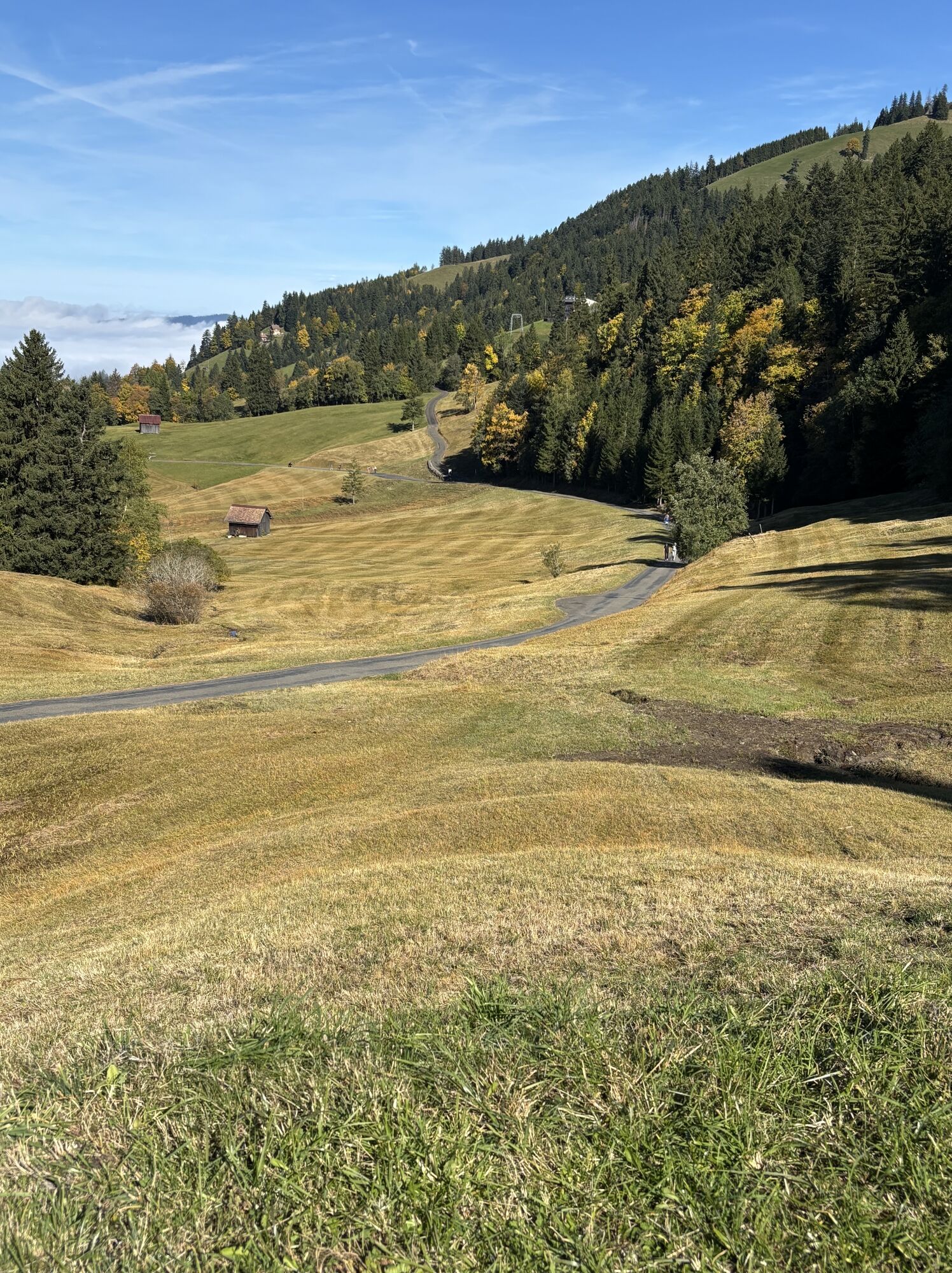
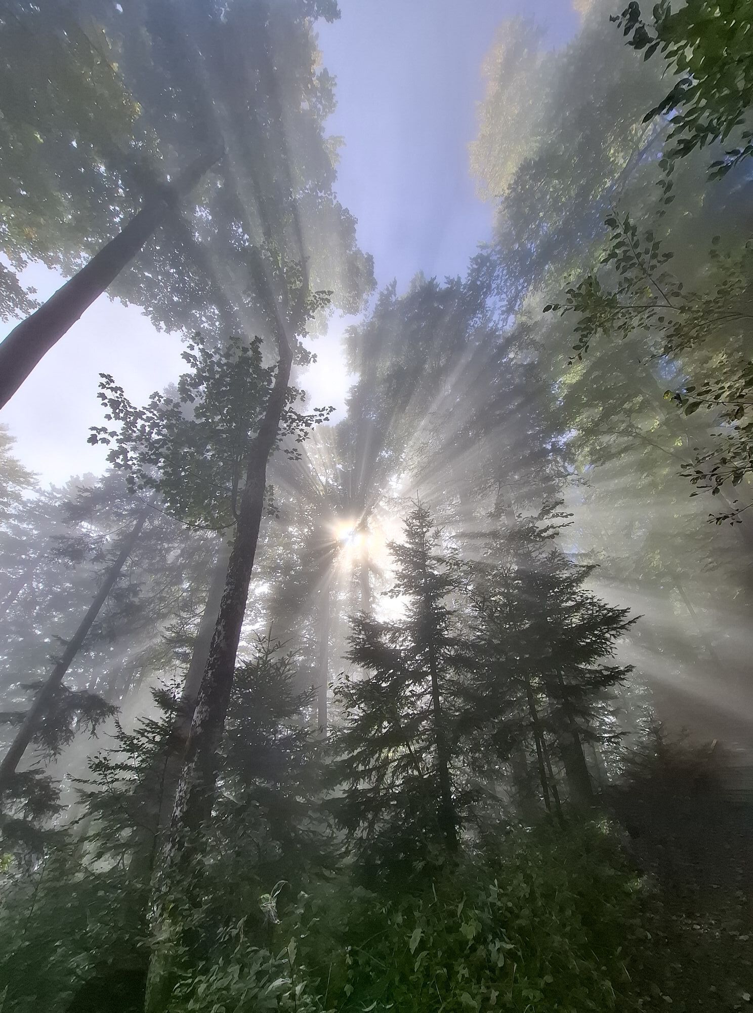
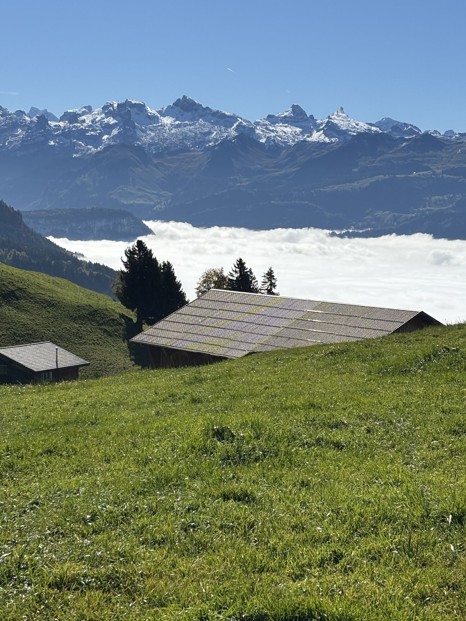
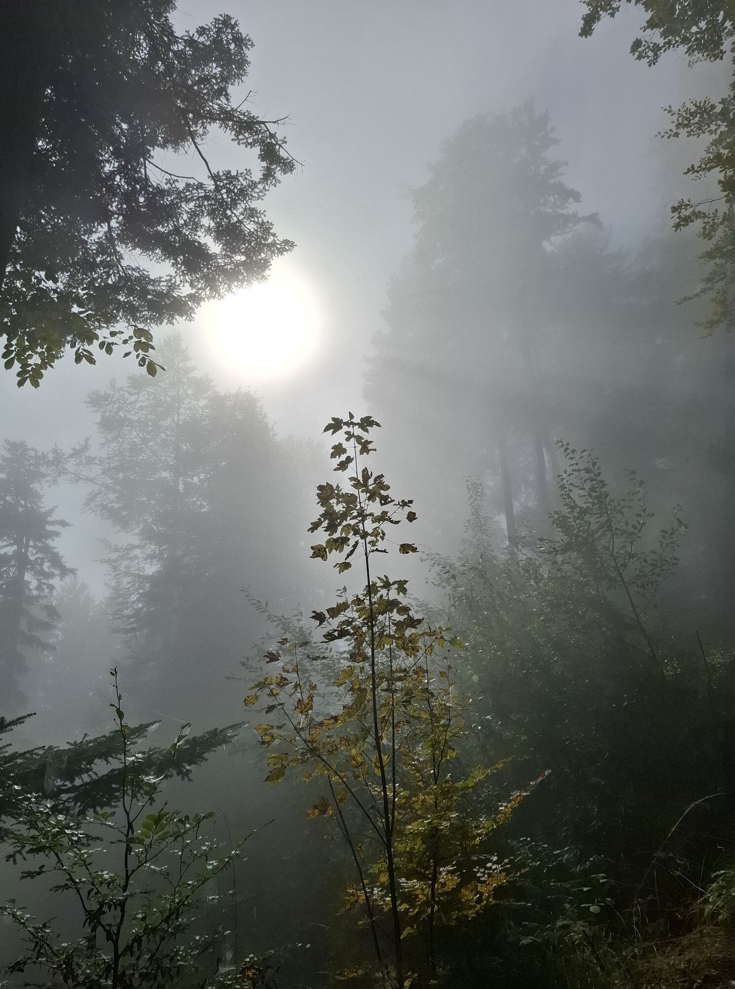

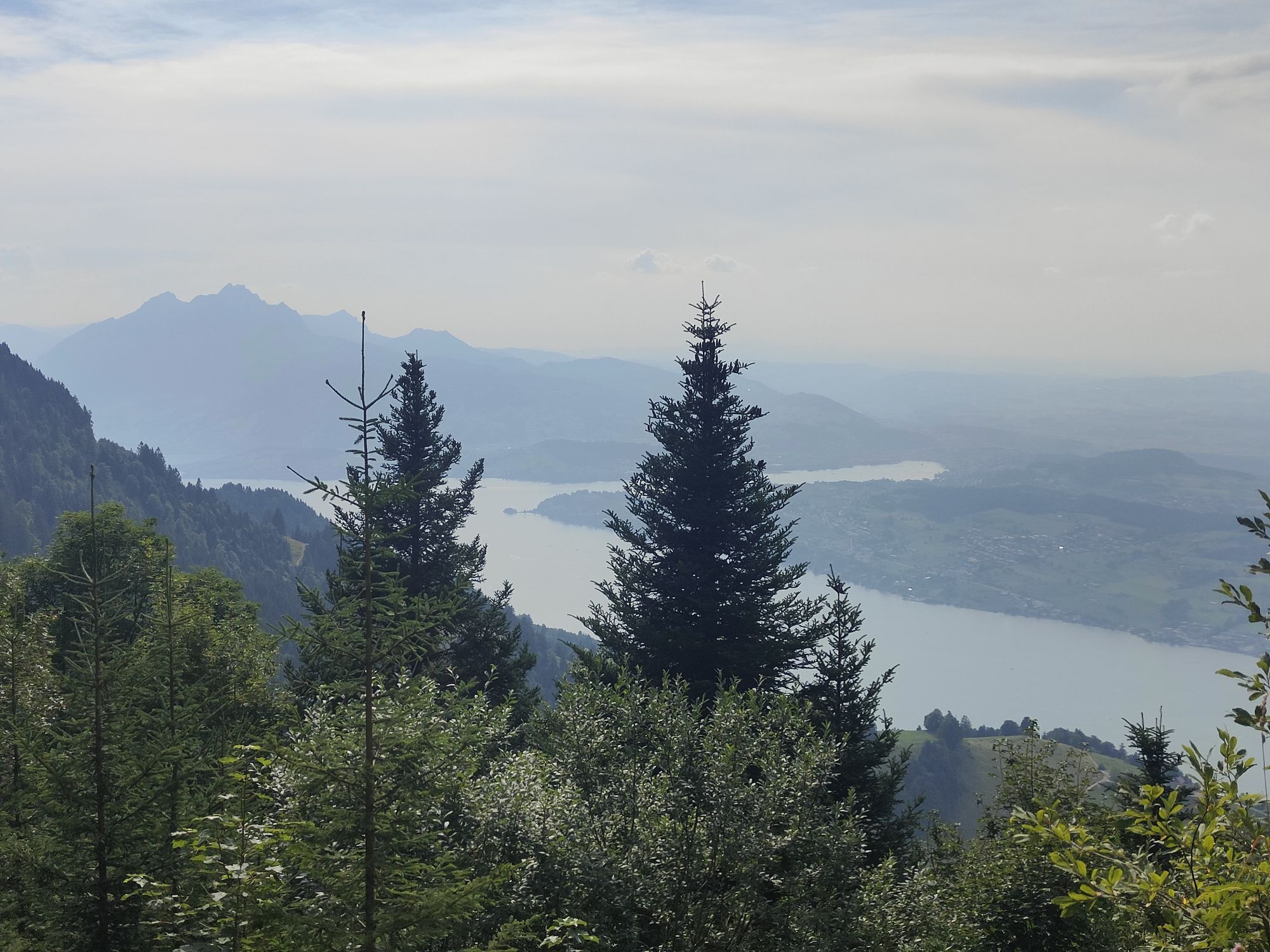
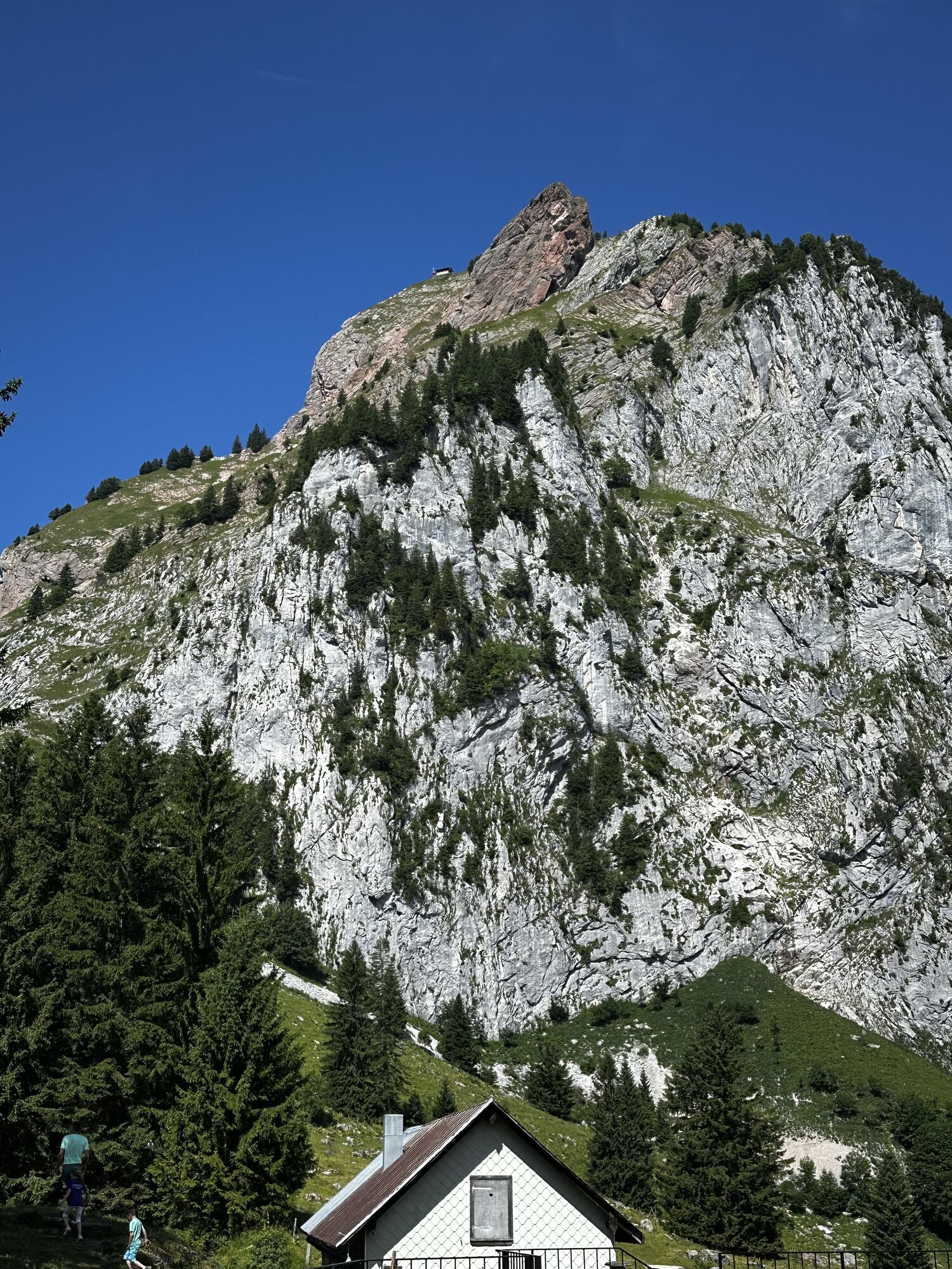
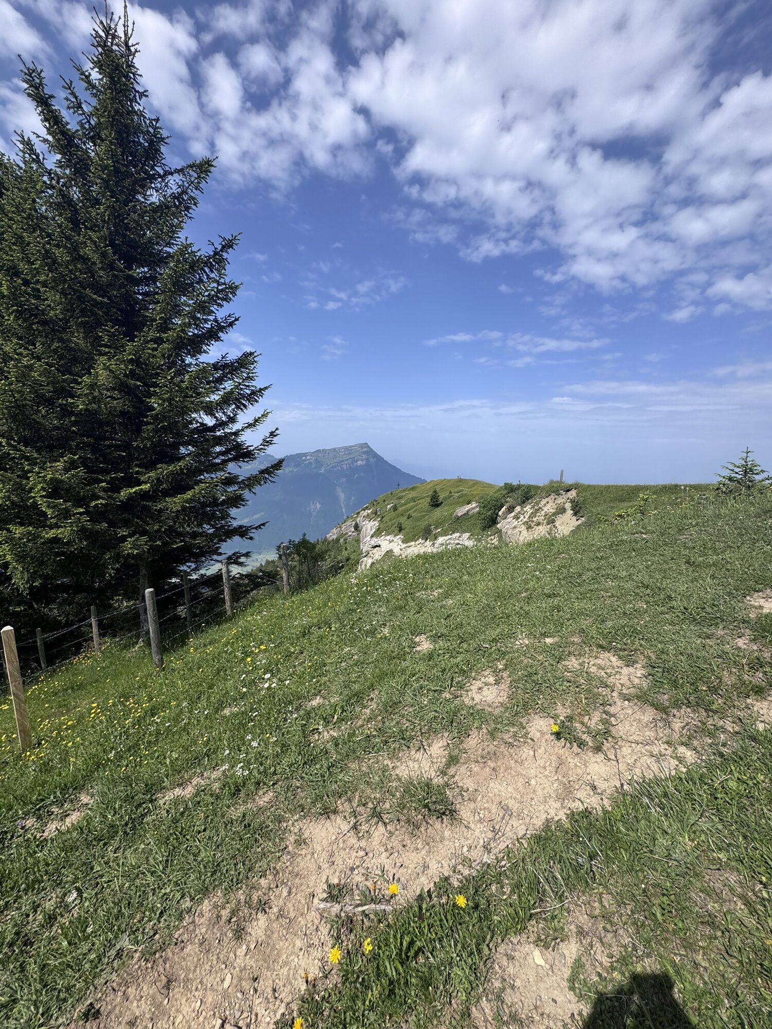
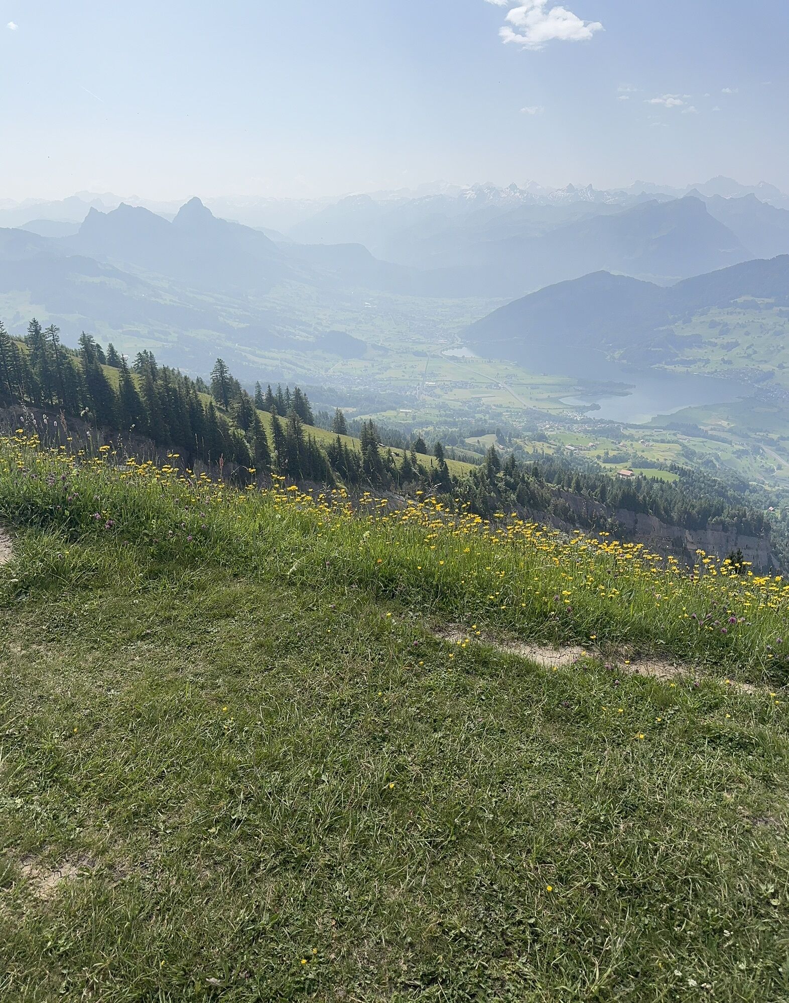
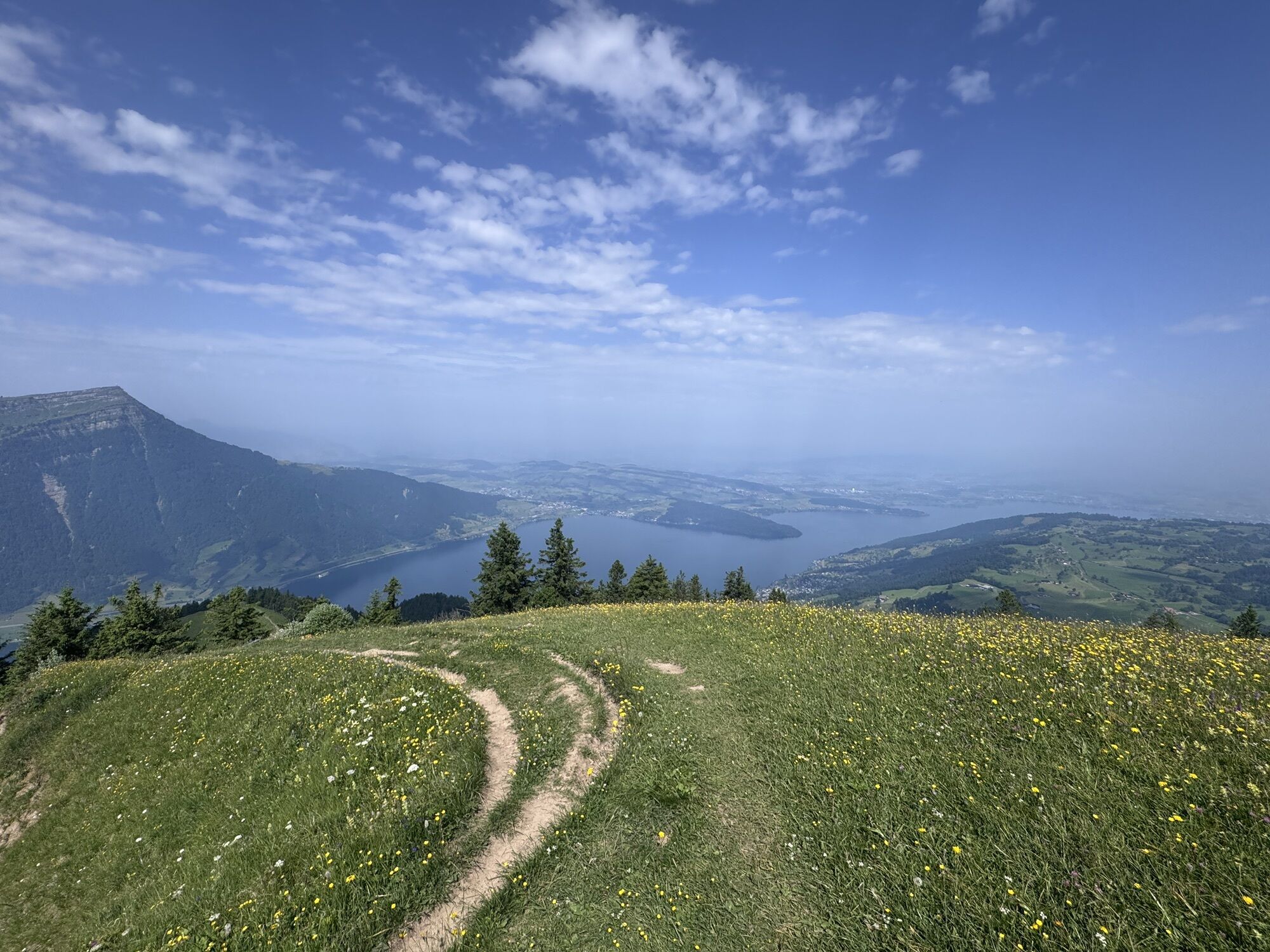
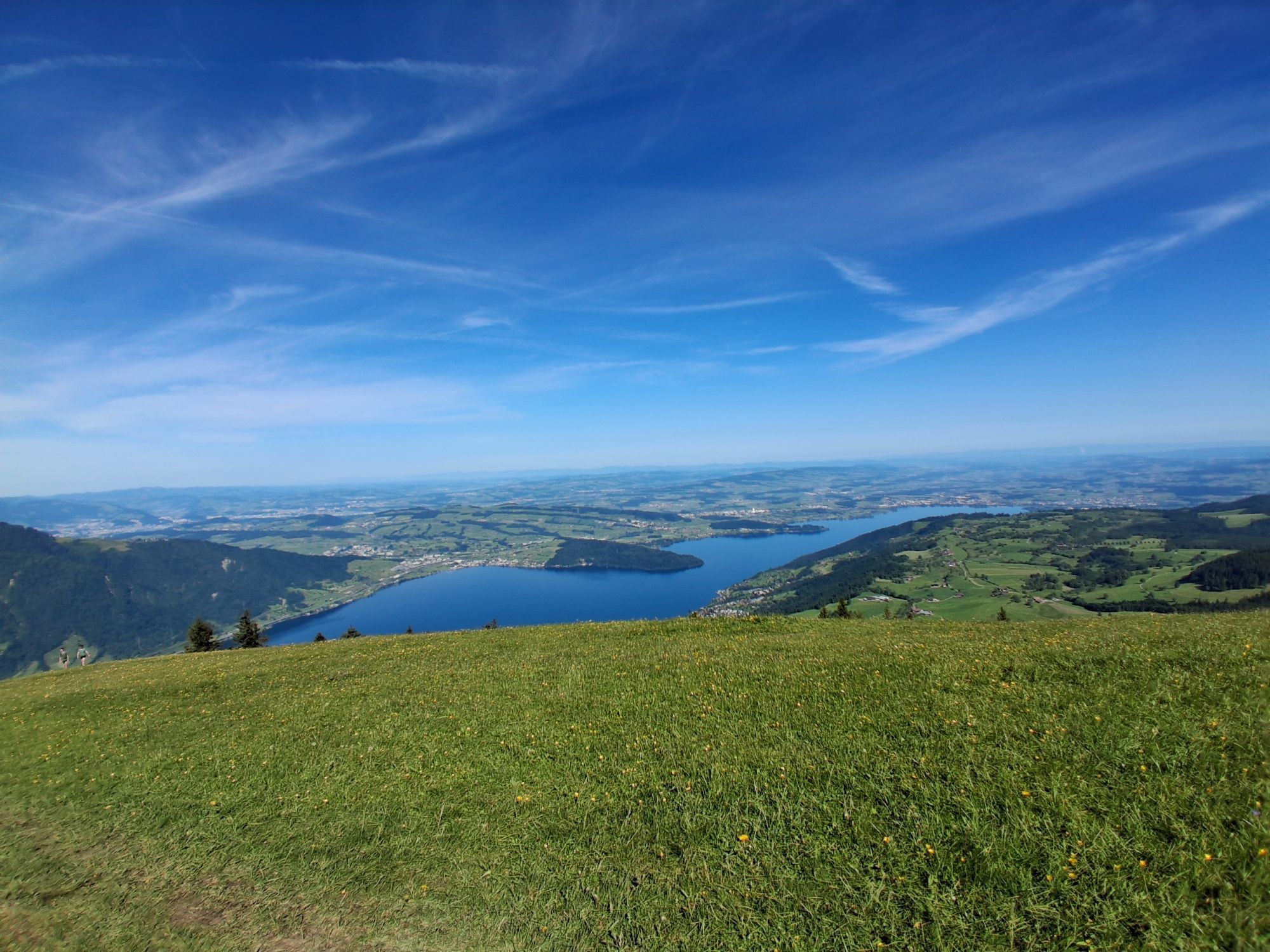
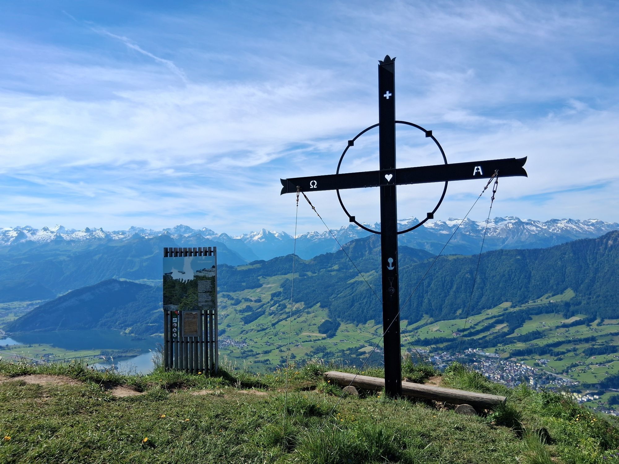
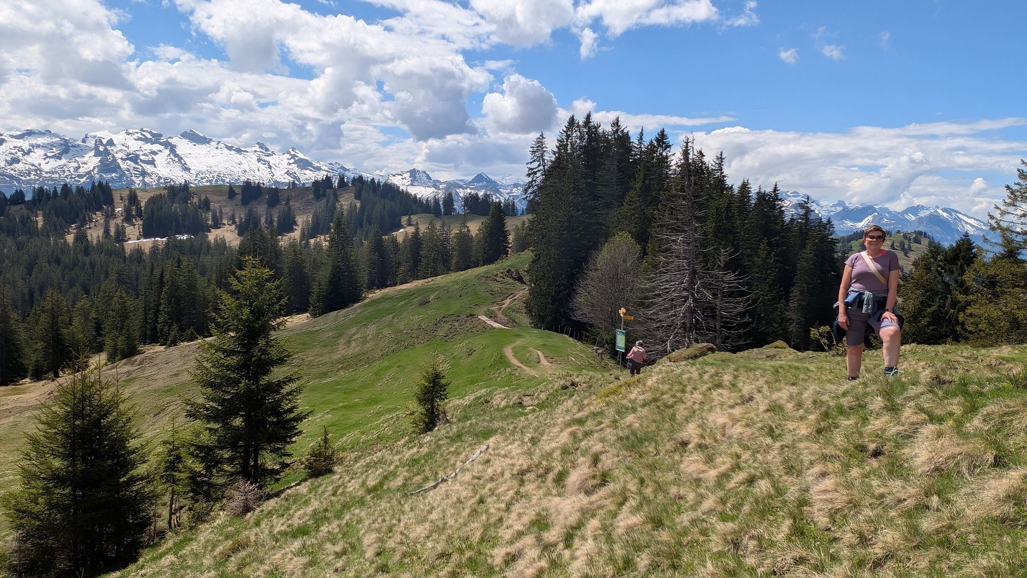
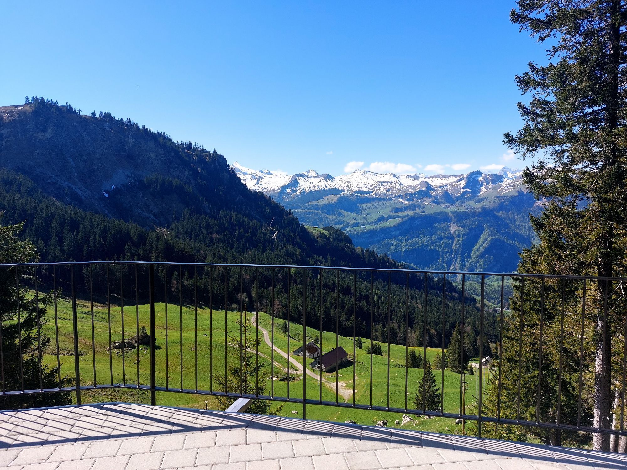
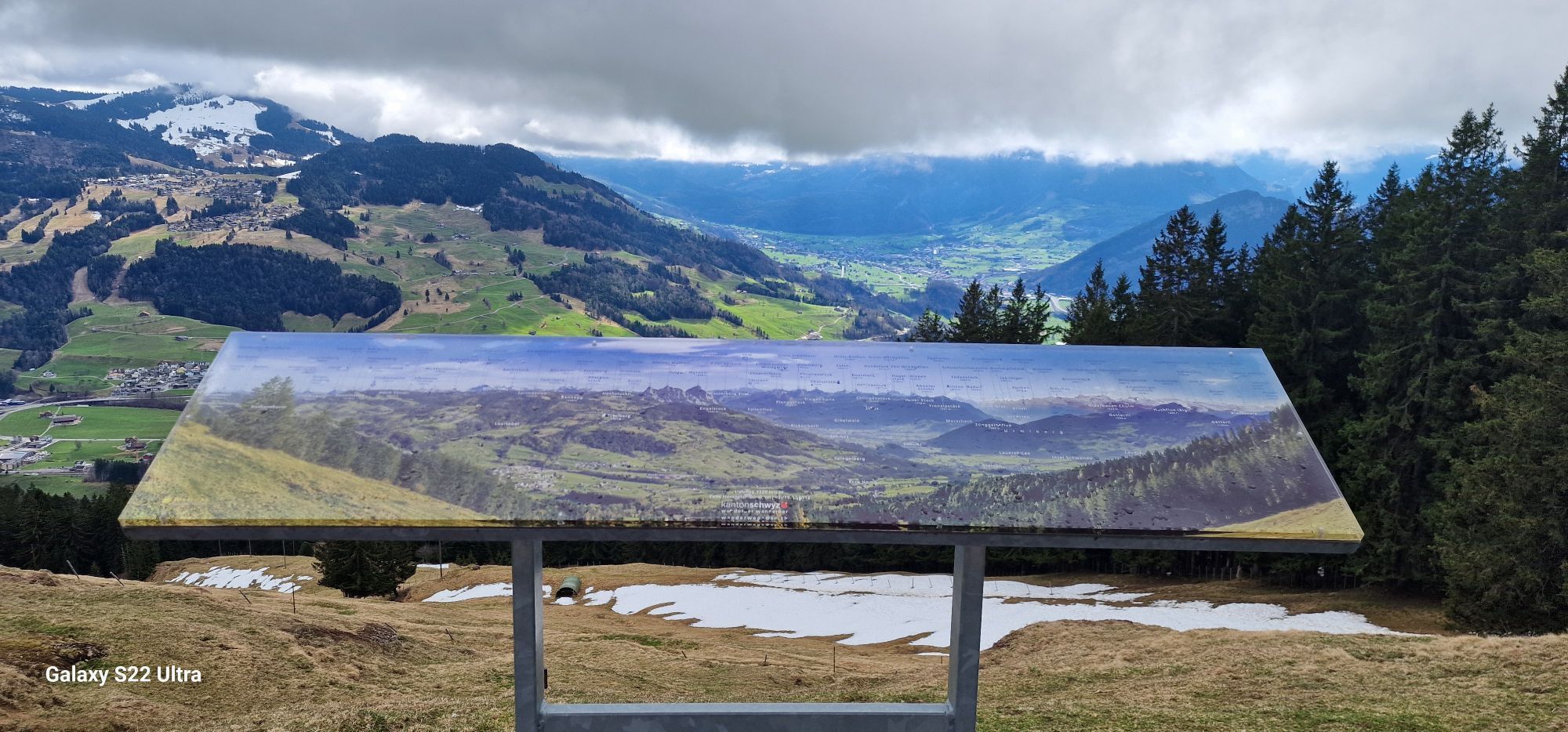

The Schwyzer Höhenweg is characterized by the three historic mountains of Rigi, Rossberg and Mythen: each of these mountain ranges has its own story to tell. Above all, railway history has been written...
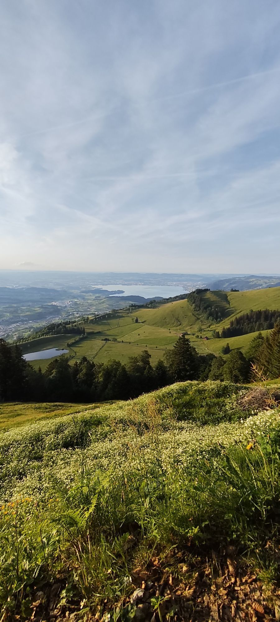
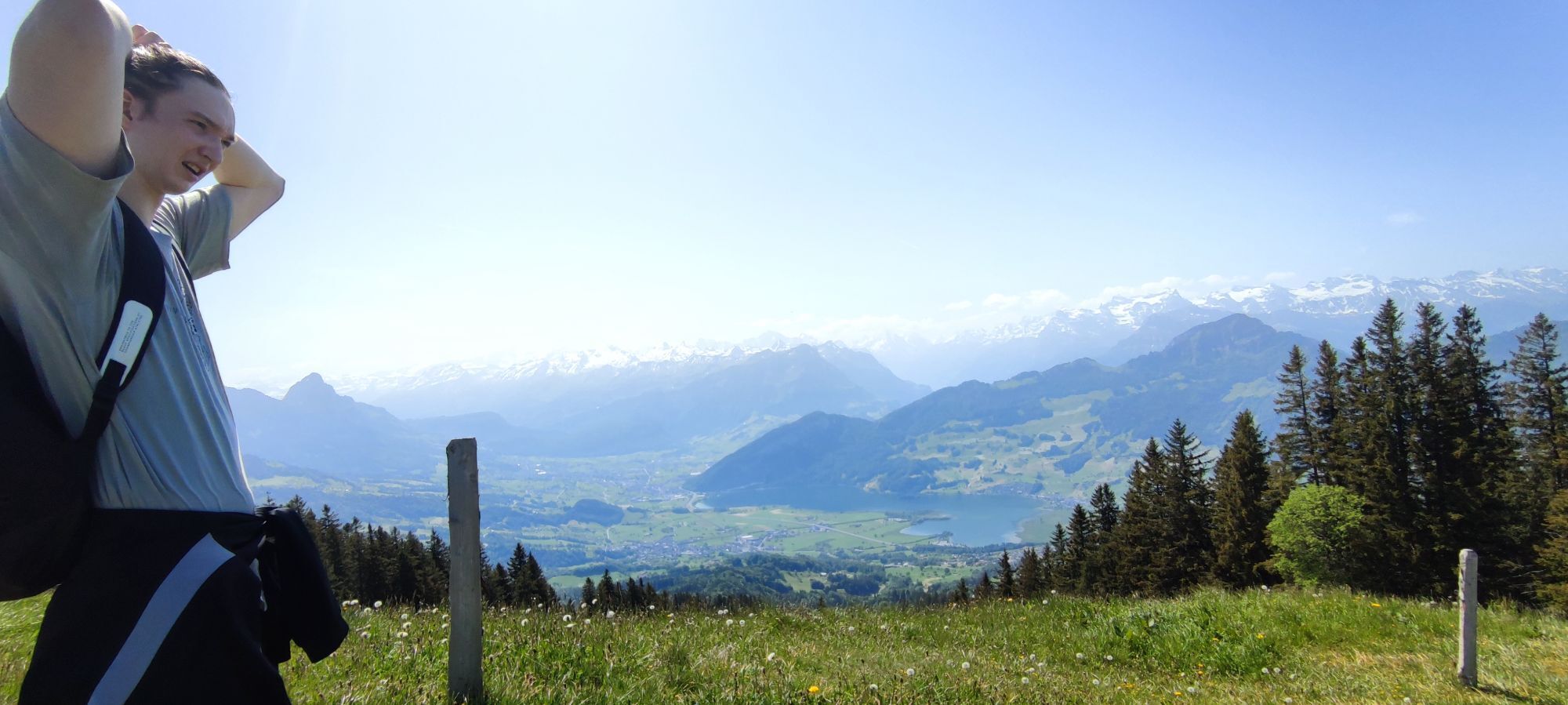
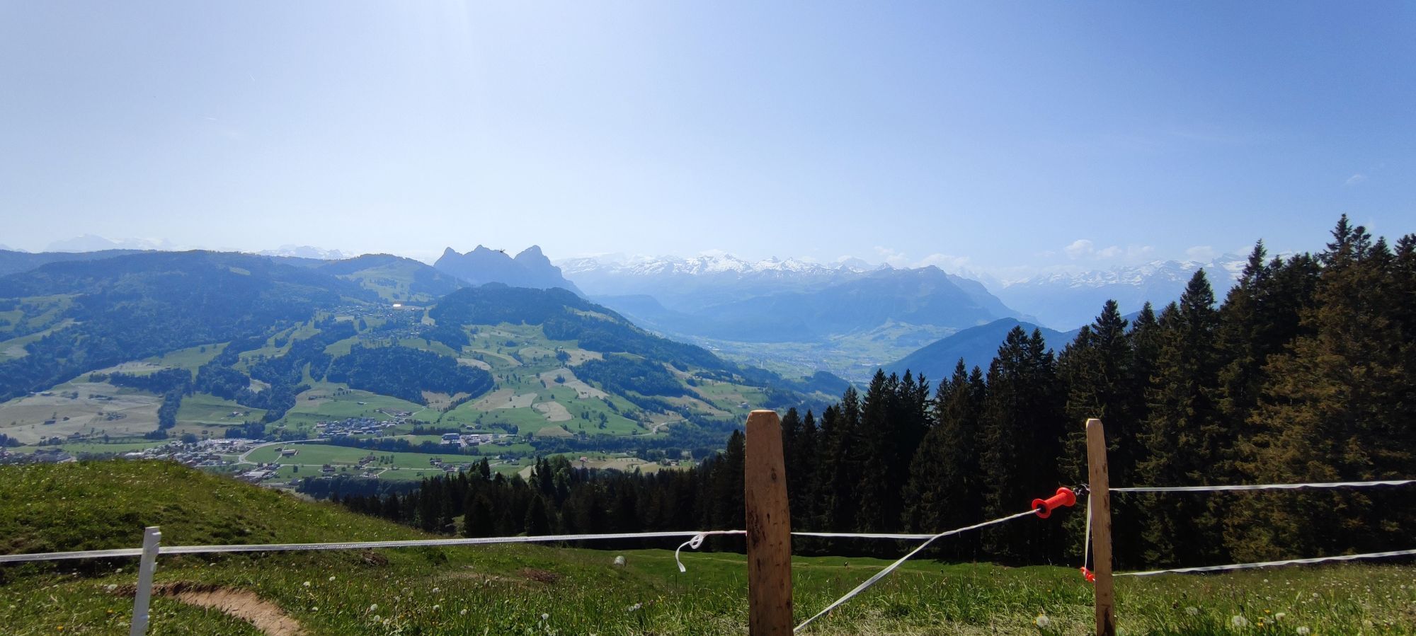
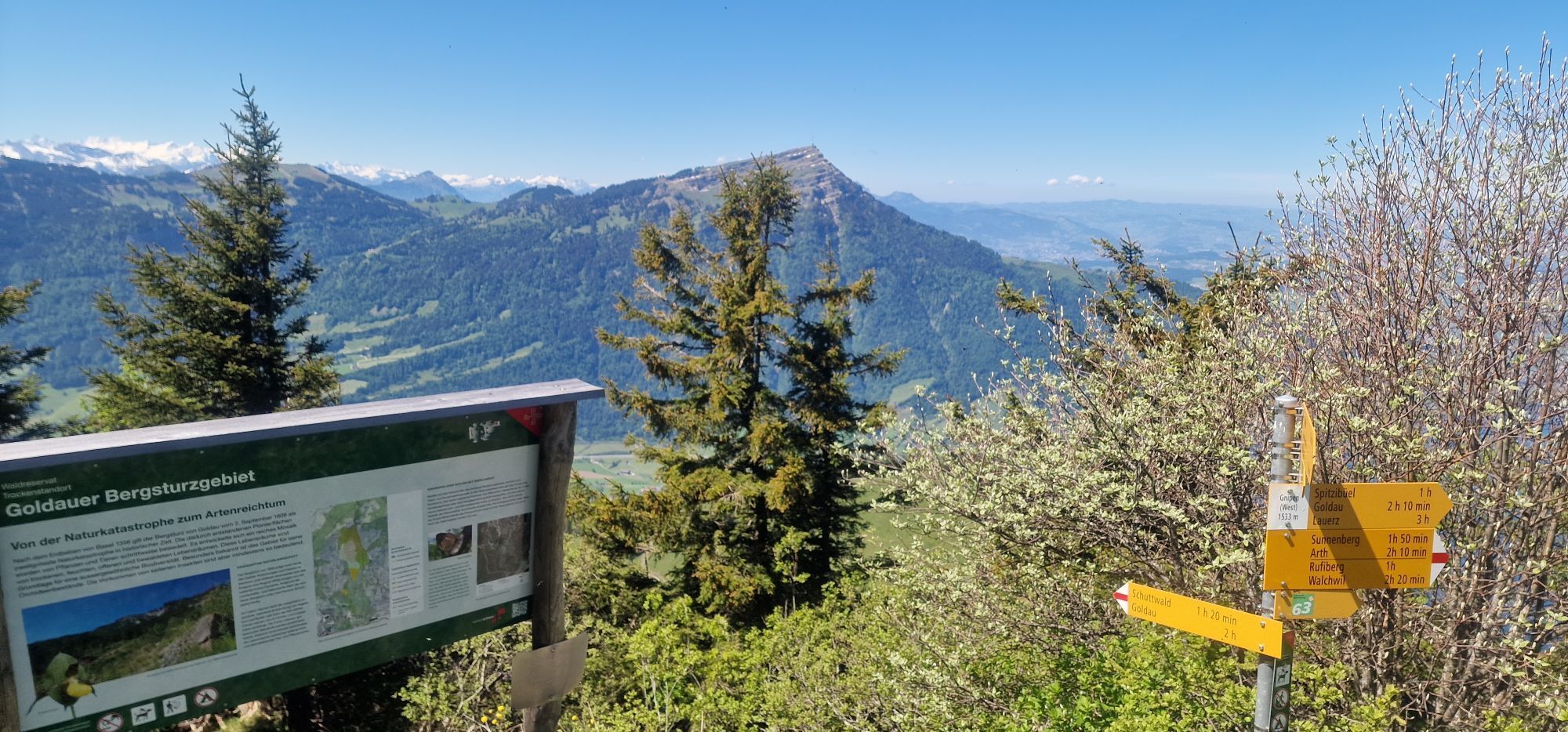
The Schwyzer Höhenweg is characterized by the three historic mountains of Rigi, Rossberg and Mythen: each of these mountain ranges has its own story to tell. Above all, railway history has been written on the Rigi. At Rossberg, the story is closely linked to the fateful September 2nd in 1806, when gigantic rock masses slid from the slopes of the Gnipen into the valley and buried 457 people. The history of the myths, in turn, is a geological one. The myths are remnants of a rock cover that has otherwise completely eroded north of the Alps. Reason enough to connect the three hiking worlds on the Schwyzer Höhenweg. You cross both the Rigi and the Rossberg while moving along the striking myths. The spectacular panoramic and deep views of the valleys of the original canton as well as of Lake Zug and Lake Lucerne can be easily enjoyed from the Schwyzer Höhenweg, and a refreshing drink is always available along this varied route.

Stage 1, Küssnacht a.R.–Rigi: Seebodenalp is one of the most beautiful viewing terraces in the Swiss foothills of the Alps. It can be enjoyed in peace, as it is not too far to Rigi Staffel. From the Staffel to the Kulm you are in good company with the train guests.
Stage 2, Rigi–Goldau: Down between the Rigi Kulm and the ridge that leads to Rigi Scheidegg. In view of the Gnipen with the demolition site of the Goldau landslide of 1806. There is enough time in Goldau to take a detour to the zoo.
Stage 3, Goldau–Sattel: The landslide area is still impressive today, with its masses of rubble and stone blocks as well as the special vegetation that is reclaiming the space. On the Wildspitz, the highest mountain in the canton of Zug, you have a beautiful view of the lakes of central Switzerland.
Stage 4, Sattel–Haggenegg: After a demanding climb, the Hochstuckli is worth a short detour. Panoramic view of the Mythen and Schwyzerland. Then there is a gentle descent to Haggenegg, where the Schwyzer Höhenweg intersects with the Way of St. James.
Stage 5, Haggenegg–Einsiedeln: A tour under the spell of myths that are avoided on the “back side”. From Furggelenstock, the Grosse Mythen looks deceptively similar to the Matterhorn. Einsiedeln lives from the monastery church that towers over everything and the well-preserved village center.
Hiking boots with good tread or trekking shoes, rain jacket, drink, food, possibly sticks.
Via the A4 motorway, exit Küssnacht, then via Zugerstrasse and Nordstrasse into the center.
Various parking options in Küssnacht (charges apply). Luterbach car park free of charge.
Webcams del recorrido
-
Bergstation Brunni-Haggenegg
-
Bärenfang
-
Skilifte Brunni-Haggenegg, Alpthal
-
Handgruobi Talstation
-
Passhöhe Ibergeregg
-
Talstation Skilift Brunni
-
Passhöhe Ibergeregg
-
Skywalk Ost
-
Bergstation Brünnelistock
-
Bergstation Stägleren/Rotenflue
-
Mostelberg - Sattel
-
Talstation Skilift Brunni
-
Mythenpark
-
Bahnstation Rigi Kulm
-
Seebodenalp Holderen
-
Seebodenalp Holderen
-
Küssnacht am Rigi
-
Oberiberg / Gasthaus Hirschen
-
Unteriberg/Stöckweid
-
Rigi - Staffel
-
Mostelberg Engelstock
-
Rotenflue
-
Schwyz
-
Einsiedeln
-
Oberiberg
-
Muotathal
-
Immensee Zugersee
-
Rigi Kaltbad Dorfplatz
-
Weggis
-
Vitznau Hinterbergen
-
Holzegg Bergstation
-
Fuederegg
-
Laucherenstöckli
-
Rothenthurm
-
Gasthaus Michaelskreuz
-
Michaelskreuz Root
-
Walchwil
-
Walchwil
-
Sihlsee
Infórmate
Siempre en directo con más de 9.500 webcams. bergfex Como usuario Pro, ahora puede ver las webcams correspondientes a muchos tours en la app de tours desde. Esto le permite ver las condiciones actuales directamente.
Rutas populares en los alrededores
-
4,9
Gratwanderung Klingenstock
luzSenderismo 9,36 km -
4,6
Rundwanderung
luzSenderismo de montaña 12,9 km -
4,3
Mythenweg - Bergwanderung auf den Grossen Mythen
pesadoSenderismo 3,40 km -
4,3
Kleiner Mythen
medioSenderismo 6,31 km -
3,9
Rundweg Seebodenalp Küssnacht am Rigi, Schweiz
medioSenderismo 9,56 km -
4,5
Brunni-Feuerstellen-Rundwanderung
luzSenderismo 11,5 km -
4,7
Mythen via Ibergeregg
medioSenderismo 9,73 km -
4,4
Seebodenalp Panoramaweg
luzSenderismo 5,25 km -
3,9
Gnipen - ab Goldau - Rundwanderung
medioSenderismo 10,6 km -
5,0
Wanderung entlang der Mythen, Alp "Zwüschet-Mythen"
medioSenderismo 10,5 km
Senderismo y rastreo


No se pierda las ofertas y la inspiración para sus próximas vacaciones
Su dirección de correo electrónico se ha añadido a la lista de correo.





