


Timpel hike
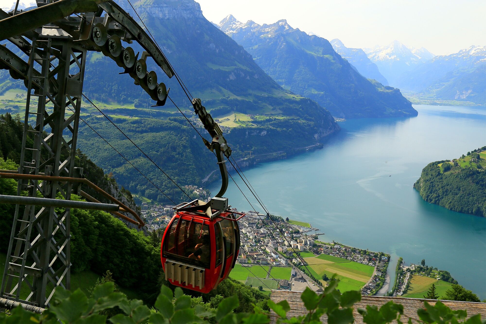
The hike begins with a slight incline at the valley station of the Urmiberg, cable car (436 m a.s.l.) to Dörfli (600 m a.s.l.). Then you walk on a straight line to Bärfallen (851 m a.s.l.). From Bärfallen...
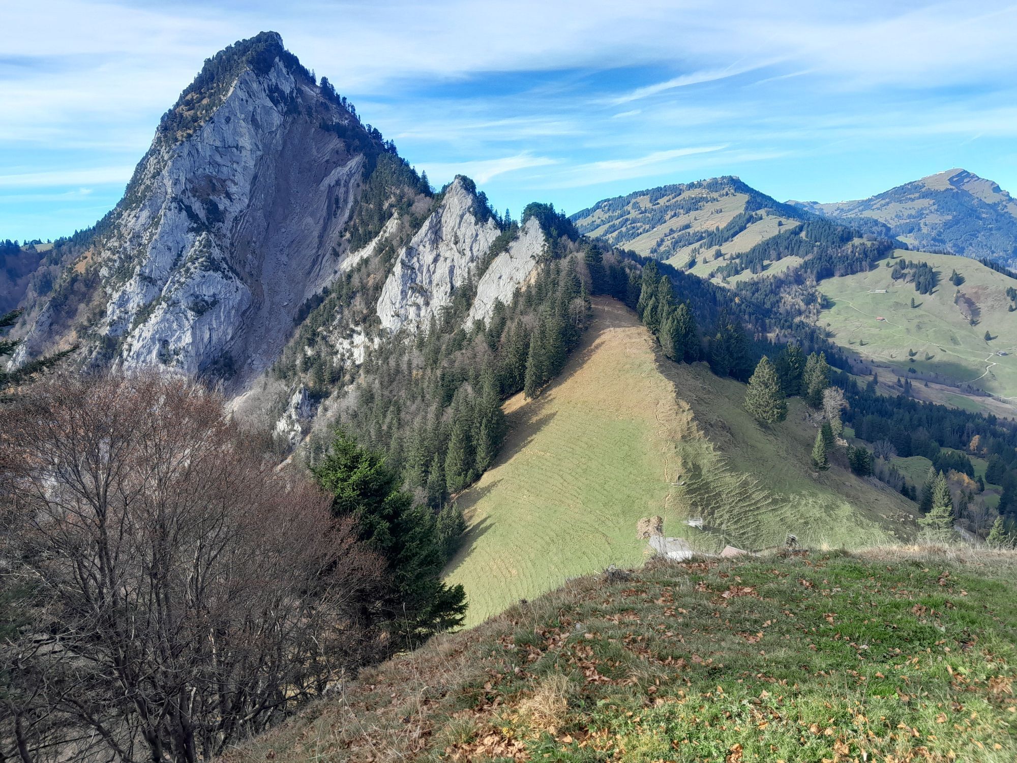
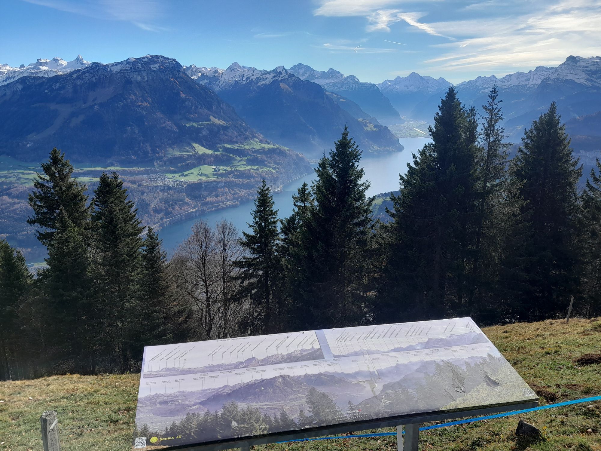
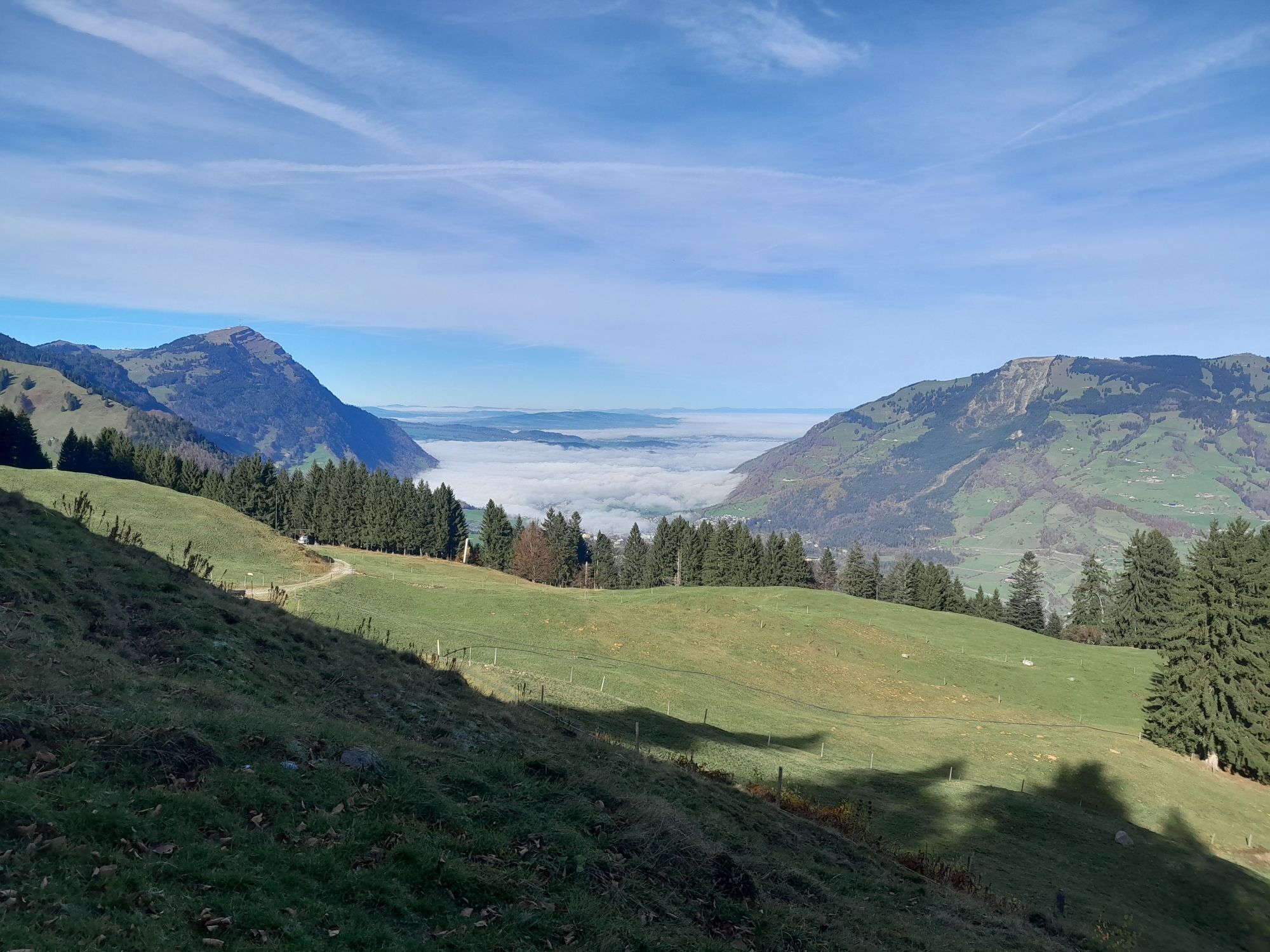
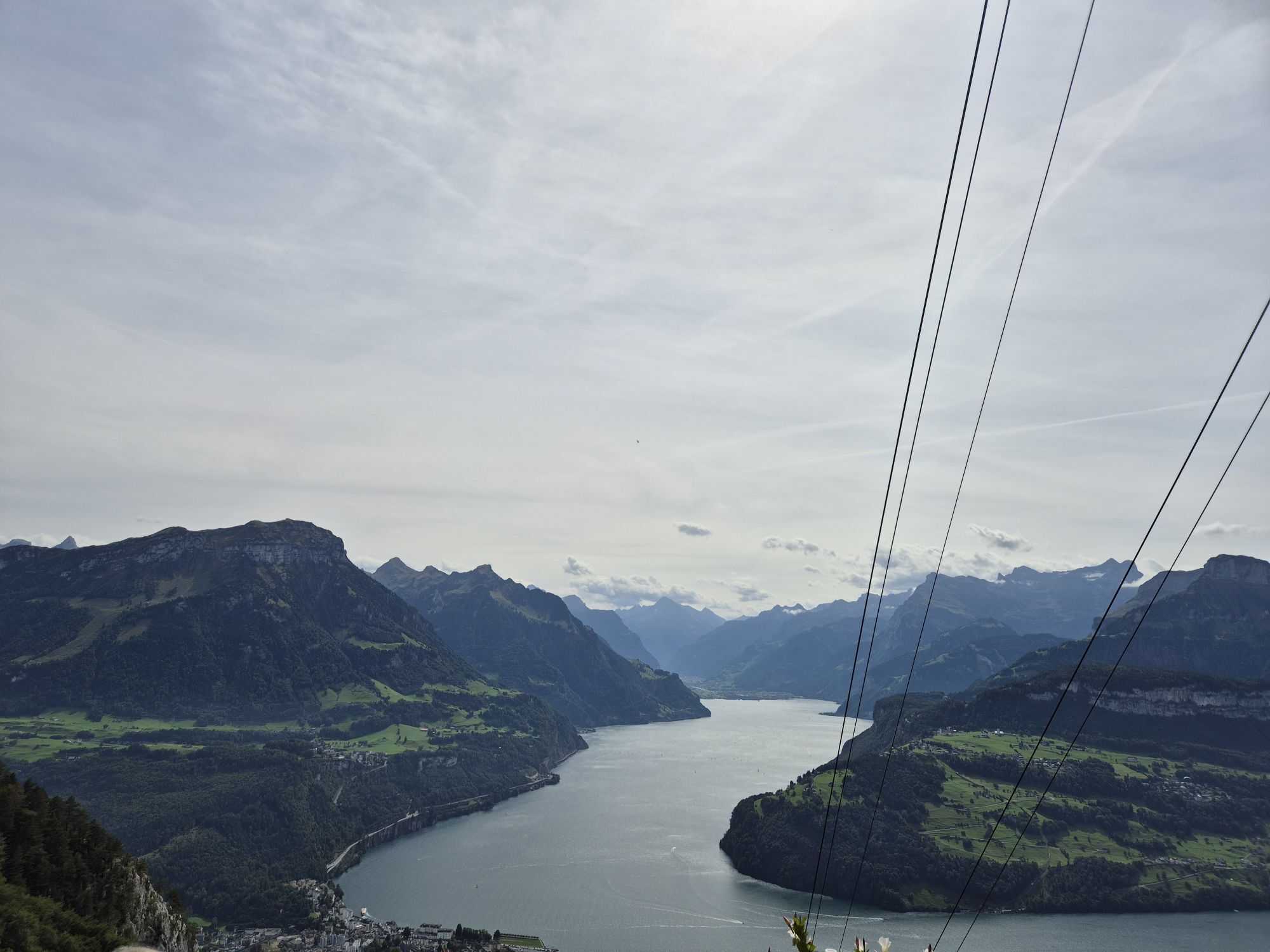
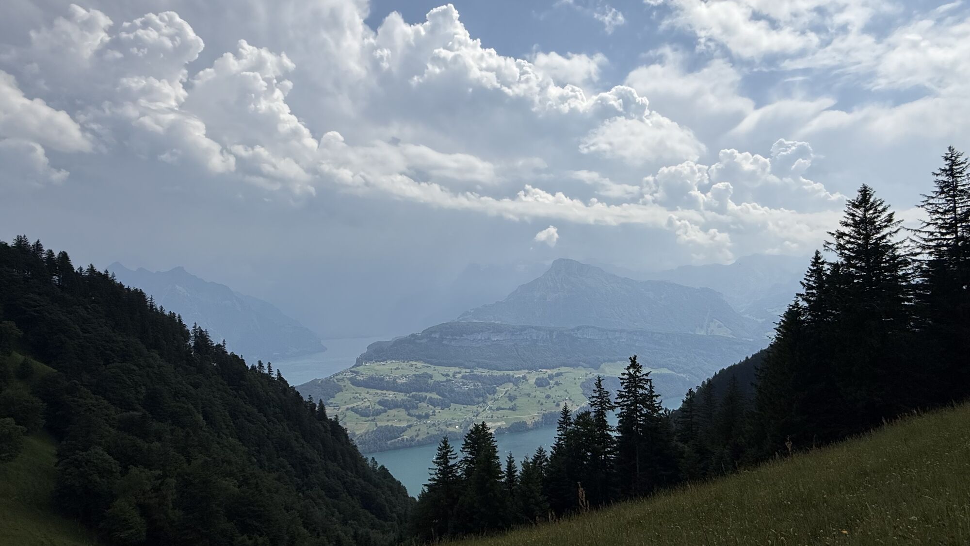
The hike begins with a slight incline at the valley station of the Urmiberg, cable car (436 m a.s.l.) to Dörfli (600 m a.s.l.). Then you walk on a straight line to Bärfallen (851 m a.s.l.). From Bärfallen the trail goes steeply uphill to Egg (1288 m above sea level). Then you walk leisurely past the Gottertli (1396 m above sea level), where you can enjoy a breathtaking view of Lake Lucerne and the surrounding mountains. Continue to the mountain station of the Urmiberg, cable car (1128 m above sea level). Finally, treat yourself to a break in the Urmiberg restaurant.
Brunnen - Dörfli - (Bärfallen) - Egg - Urmiberg
Hiking shoes with good tread or trekking shoes, rain jacket, drink, food, possibly poles.
Take A4 to Schwyzerstrasse/Route 2/Route 8 in Ingenbohl, take A4/E41 exit 40-Weggis. Follow route 2b to Schillerweg.
You can find the departure times from Brunnen Bahnhof here.
Muota car park tariff: 1h free / 2h CHF 0.50 / 3h CHF 1.00 / 4h CHF 2.00 / 5h CHF 3.00 / 6h CHF 4.00 / 7h - 24h CHF 5.00 from 25 h, per additional hour CHF +0.20 no parking restriction.
Rutas populares en los alrededores
-
4,3
Mythenweg - Bergwanderung auf den Grossen Mythen
pesadoSenderismo 3,40 km -
4,8
Gratwanderung Klingenstock
luzSenderismo 9,36 km -
4,4
Rundwanderung
luzSenderismo de montaña 12,9 km -
4,3
Brunni-Feuerstellen-Rundwanderung
luzSenderismo 11,5 km -
Wanderung entlang der Mythen, Alp "Zwüschet-Mythen"
medioSenderismo 10,5 km -
4,8
Rigi Kulm von Vitznau aus
medioSenderismo 17,6 km -
4,7
Mythen via Ibergeregg
medioSenderismo 9,73 km -
3,9
Rundweg Seebodenalp Küssnacht am Rigi, Schweiz
medioSenderismo 9,56 km -
4,2
Kleiner Mythen
medioSenderismo 6,31 km -
3,7
Gnipen - ab Goldau - Rundwanderung
medioSenderismo 10,6 km
Senderismo y rastreo


No se pierda las ofertas y la inspiración para sus próximas vacaciones
Su dirección de correo electrónico se ha añadido a la lista de correo.