






Panorama Cross-Country Skiing Trail

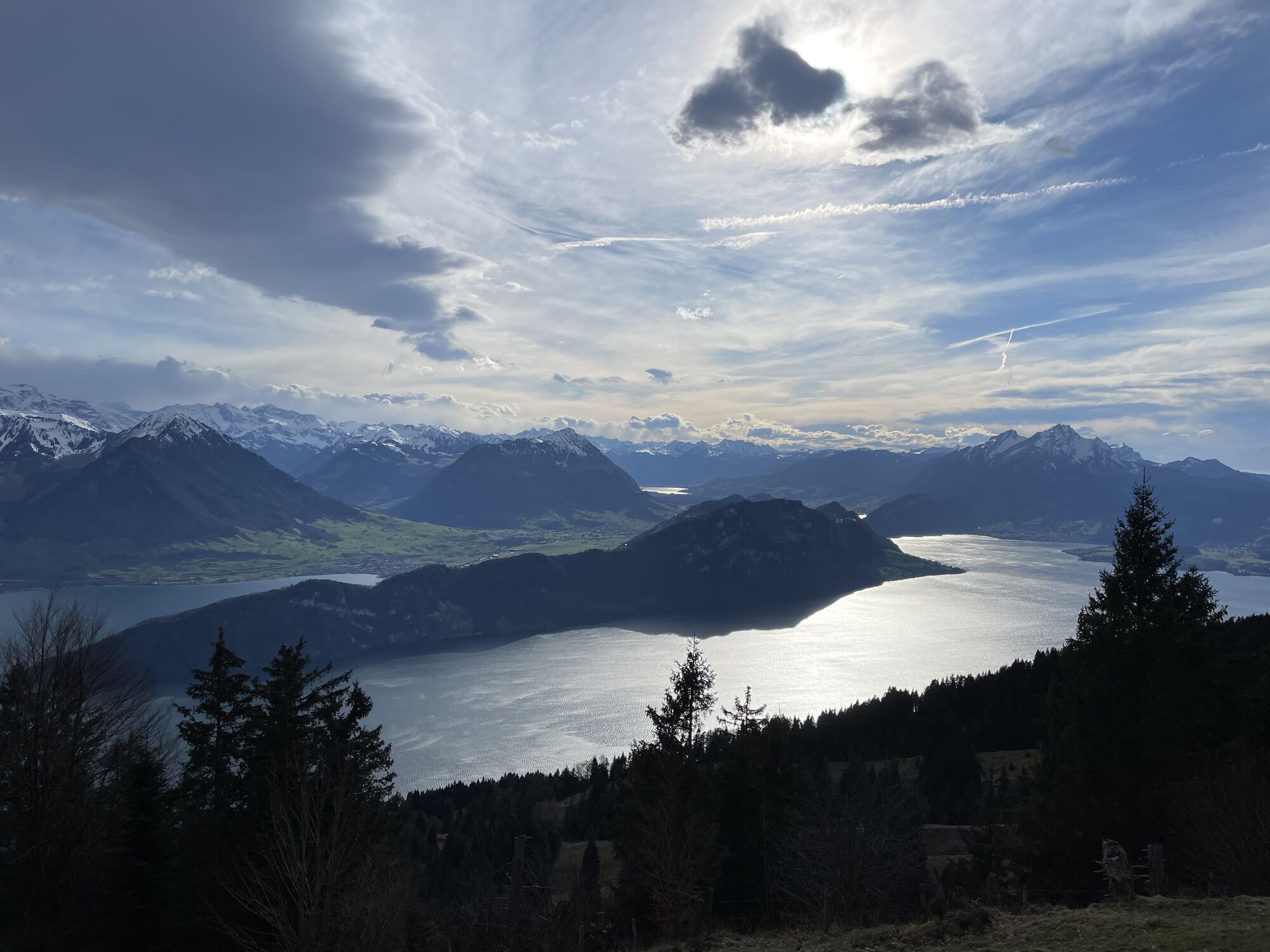
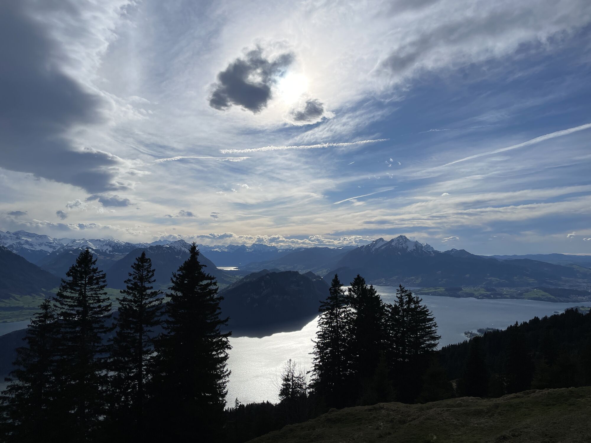
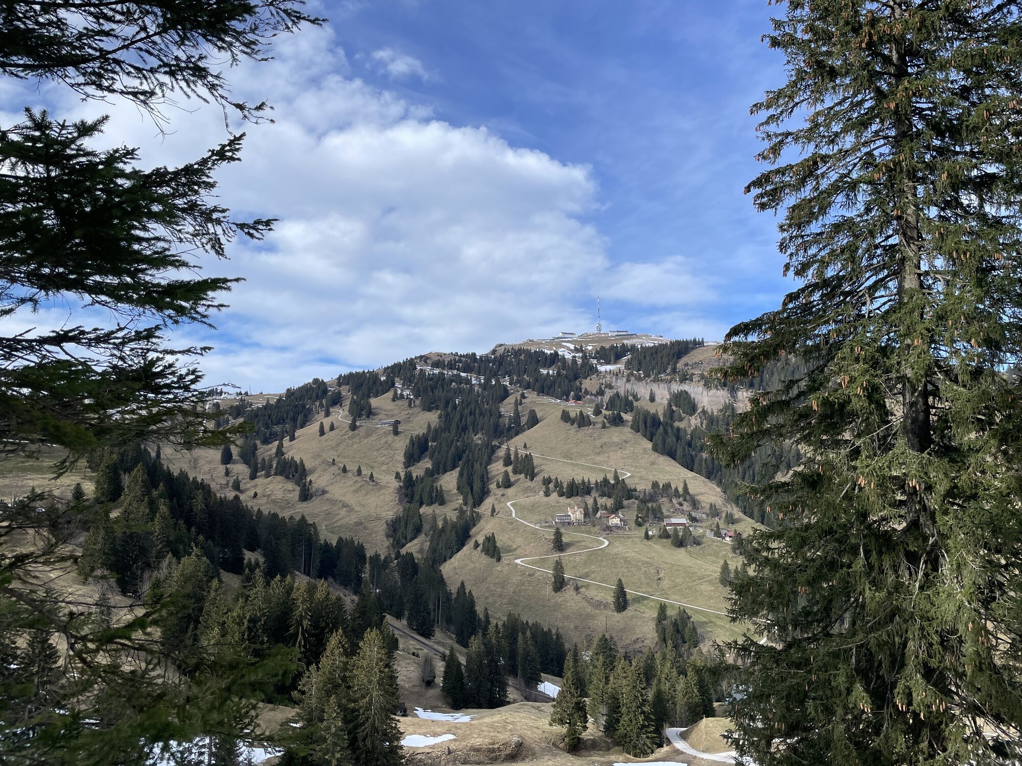
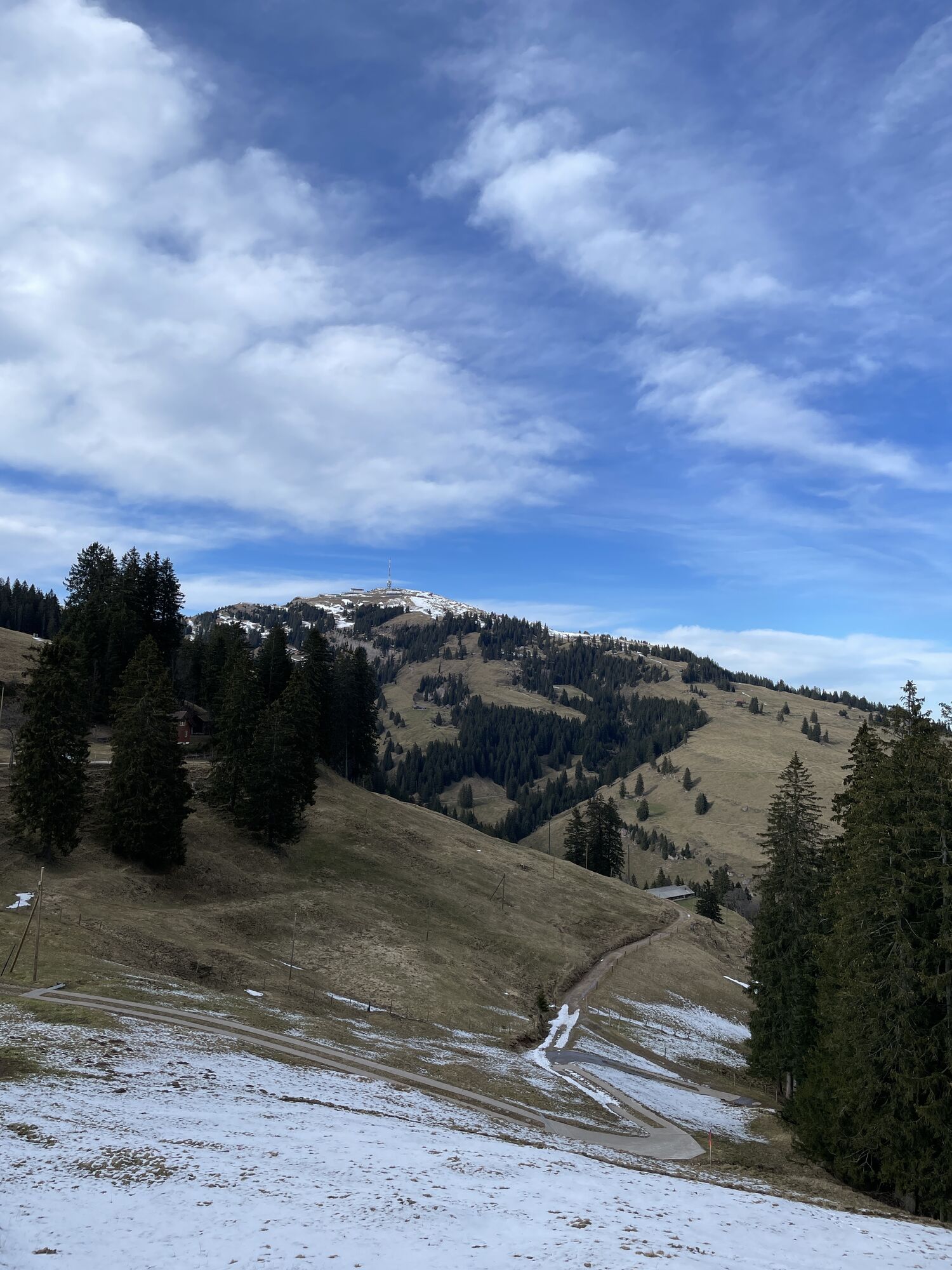
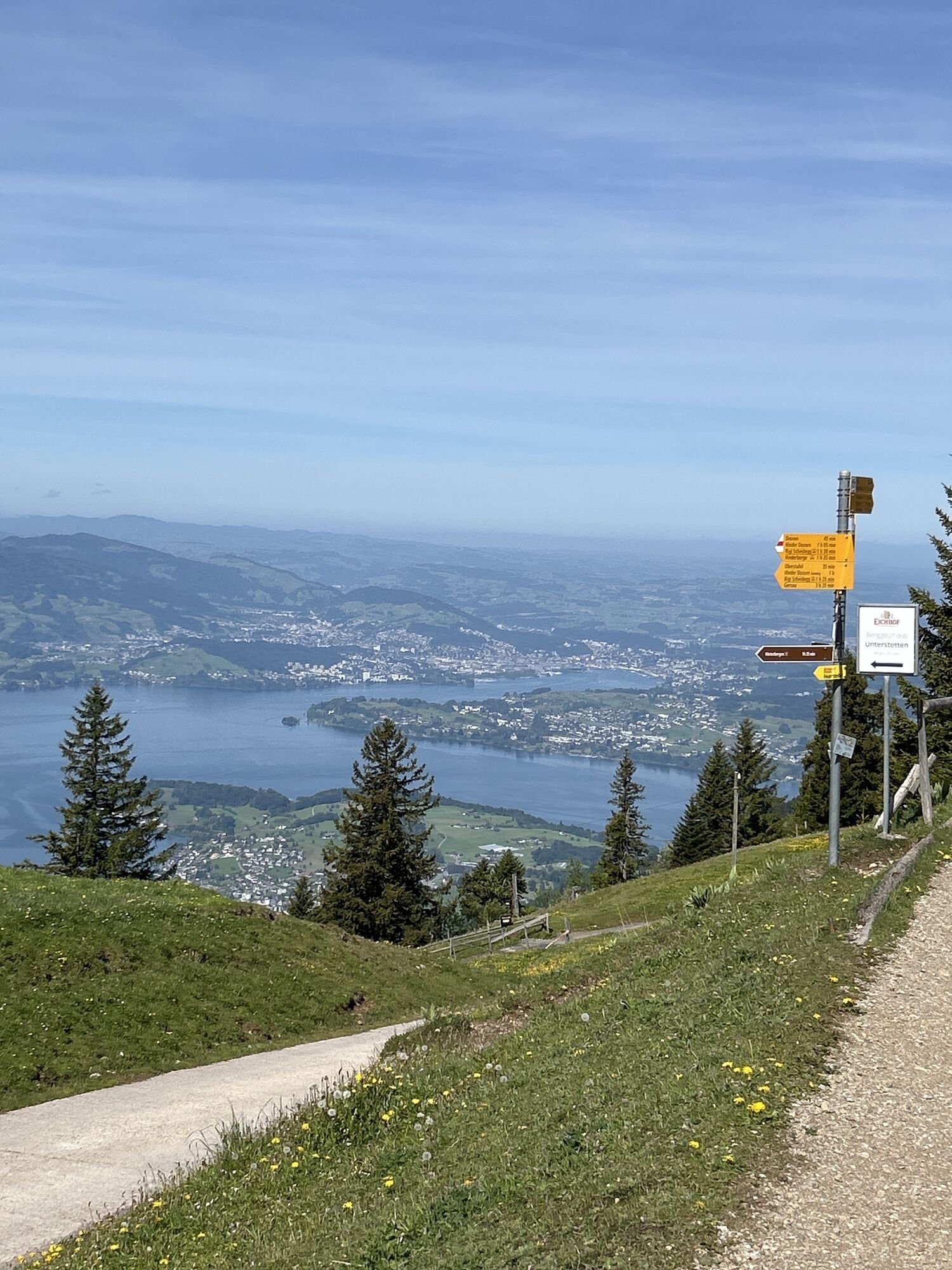
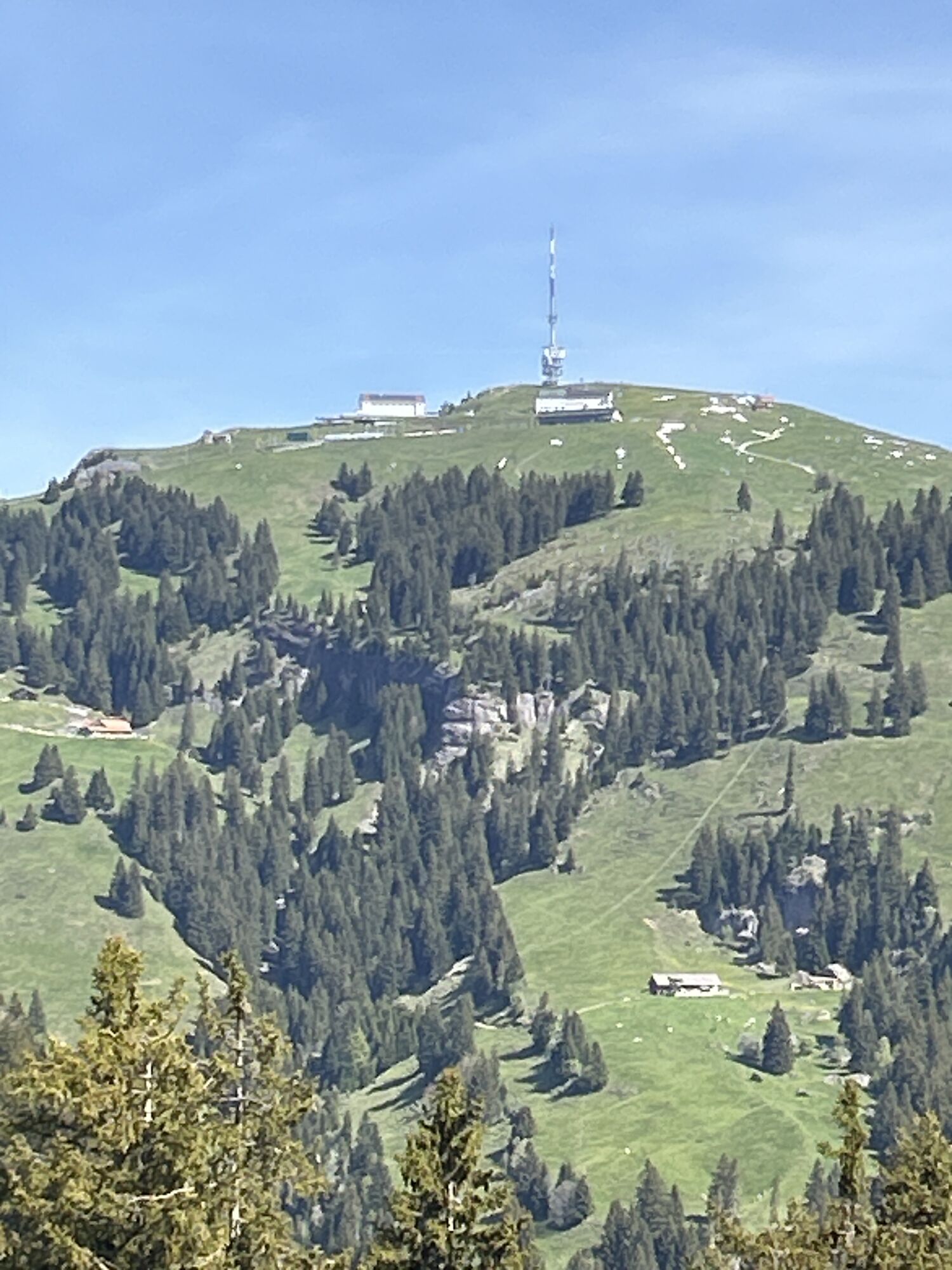
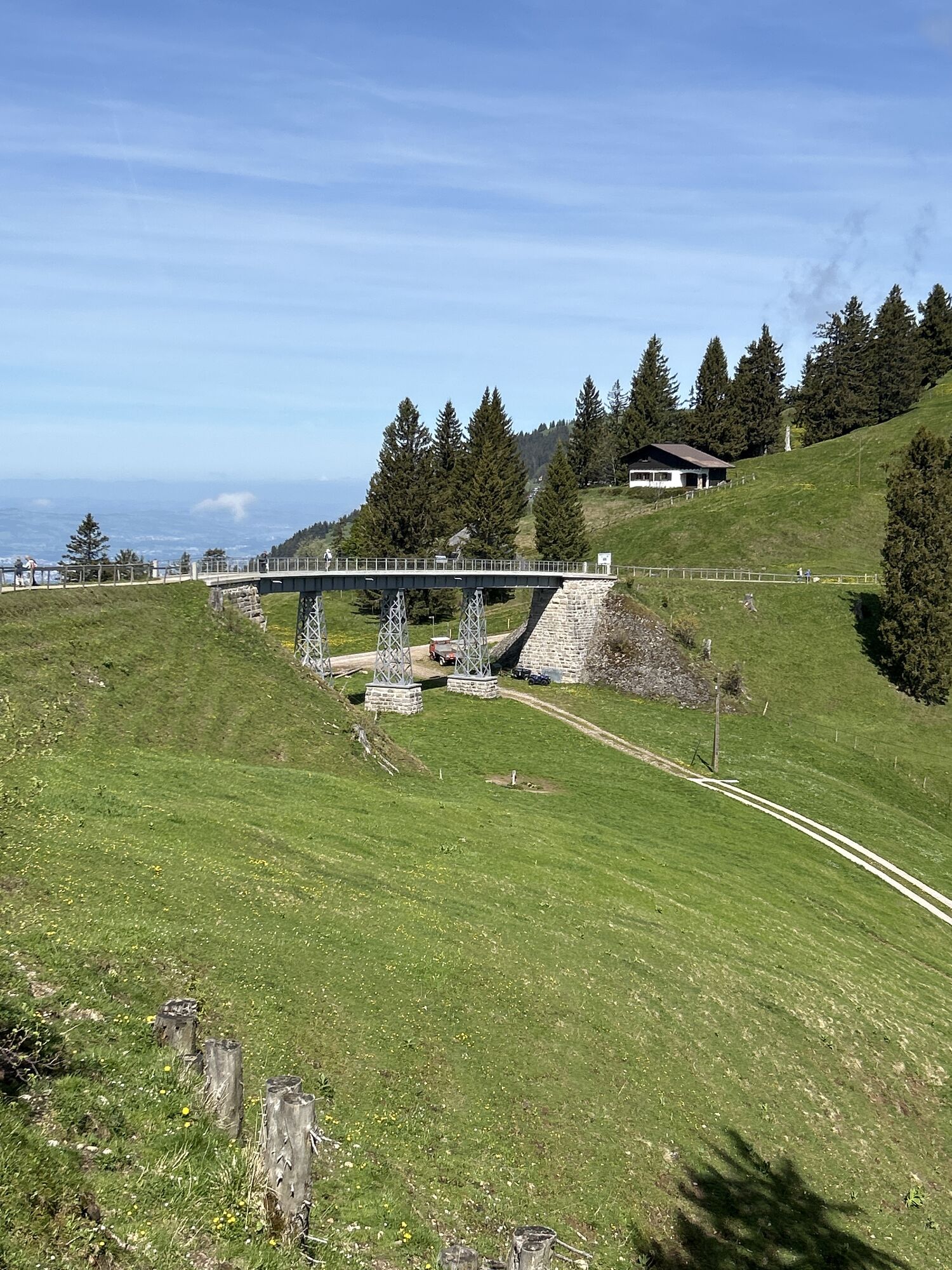
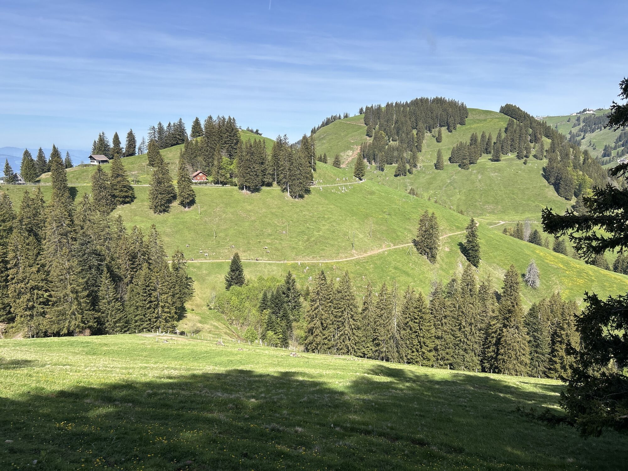
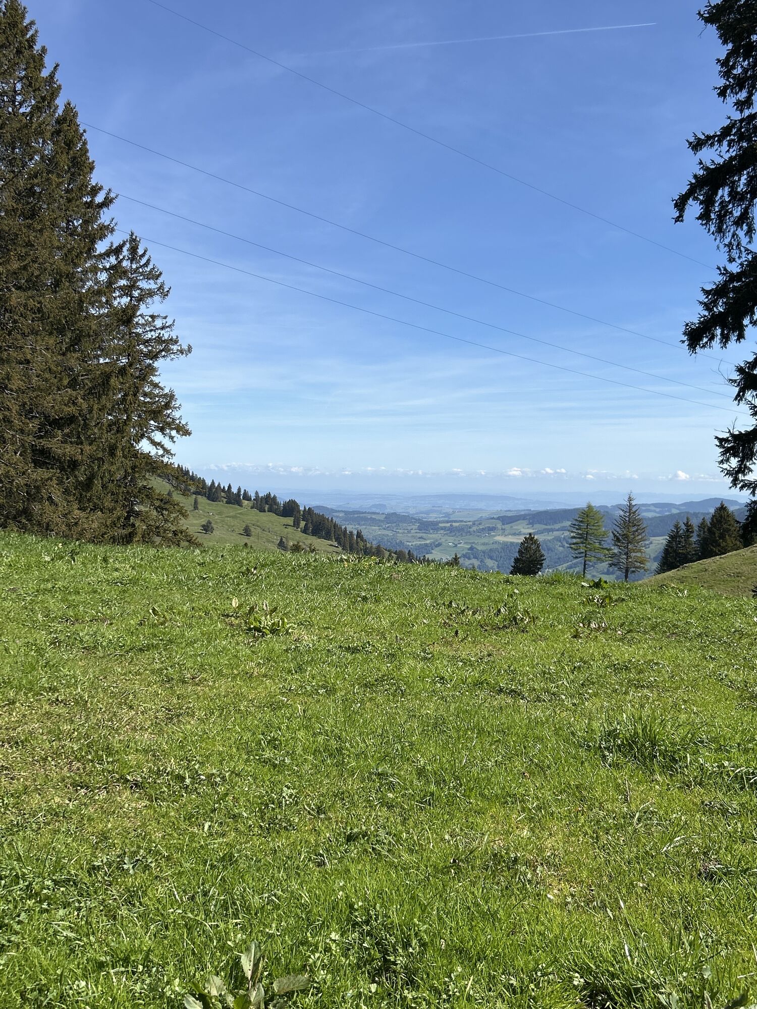
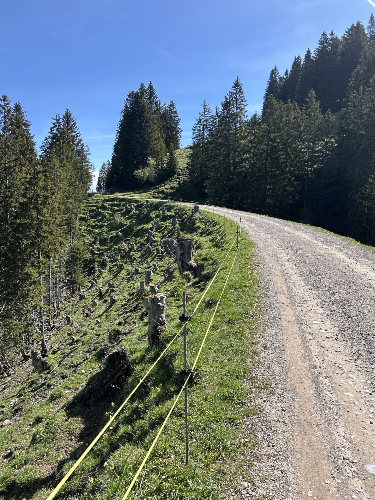
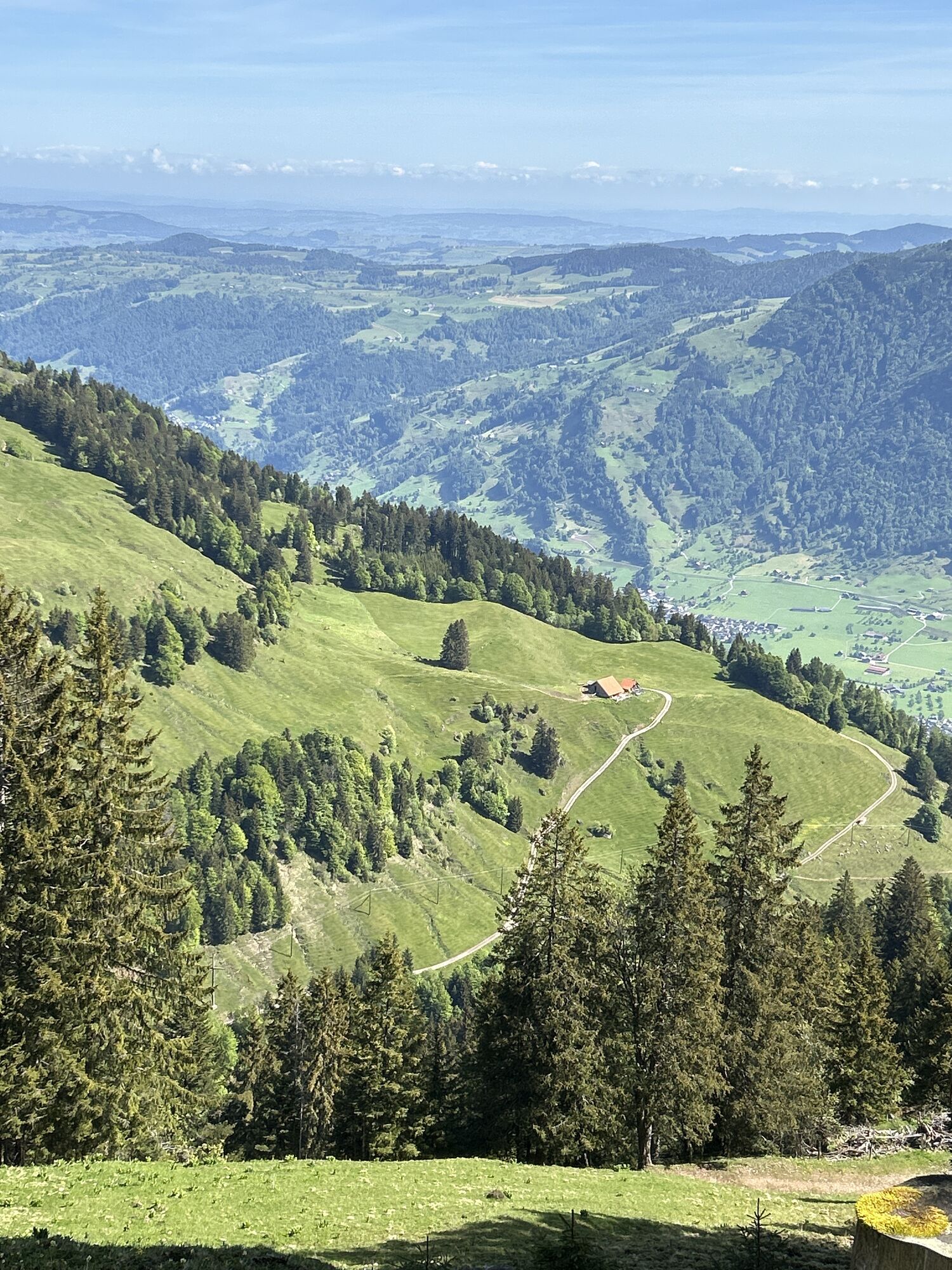
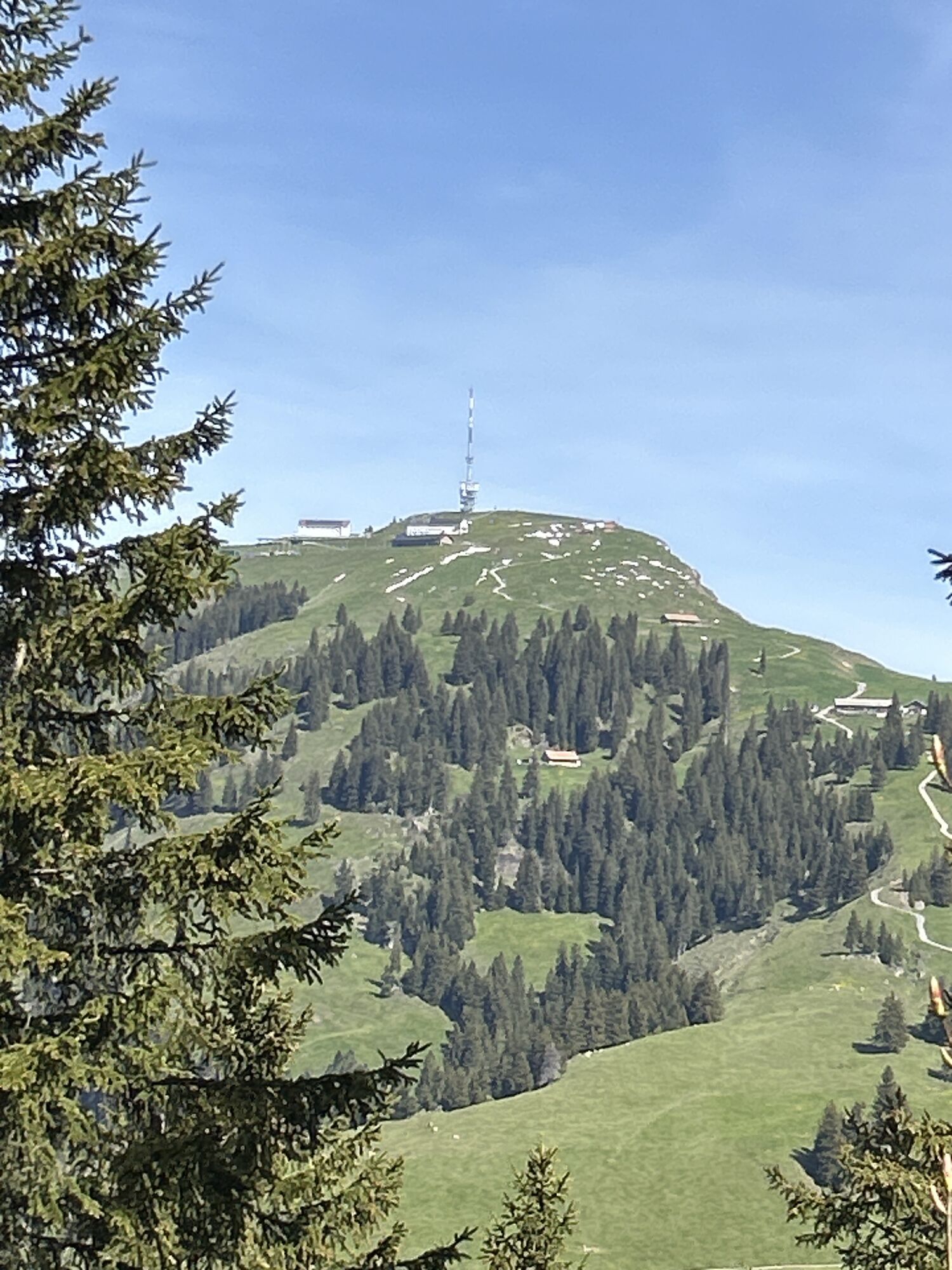
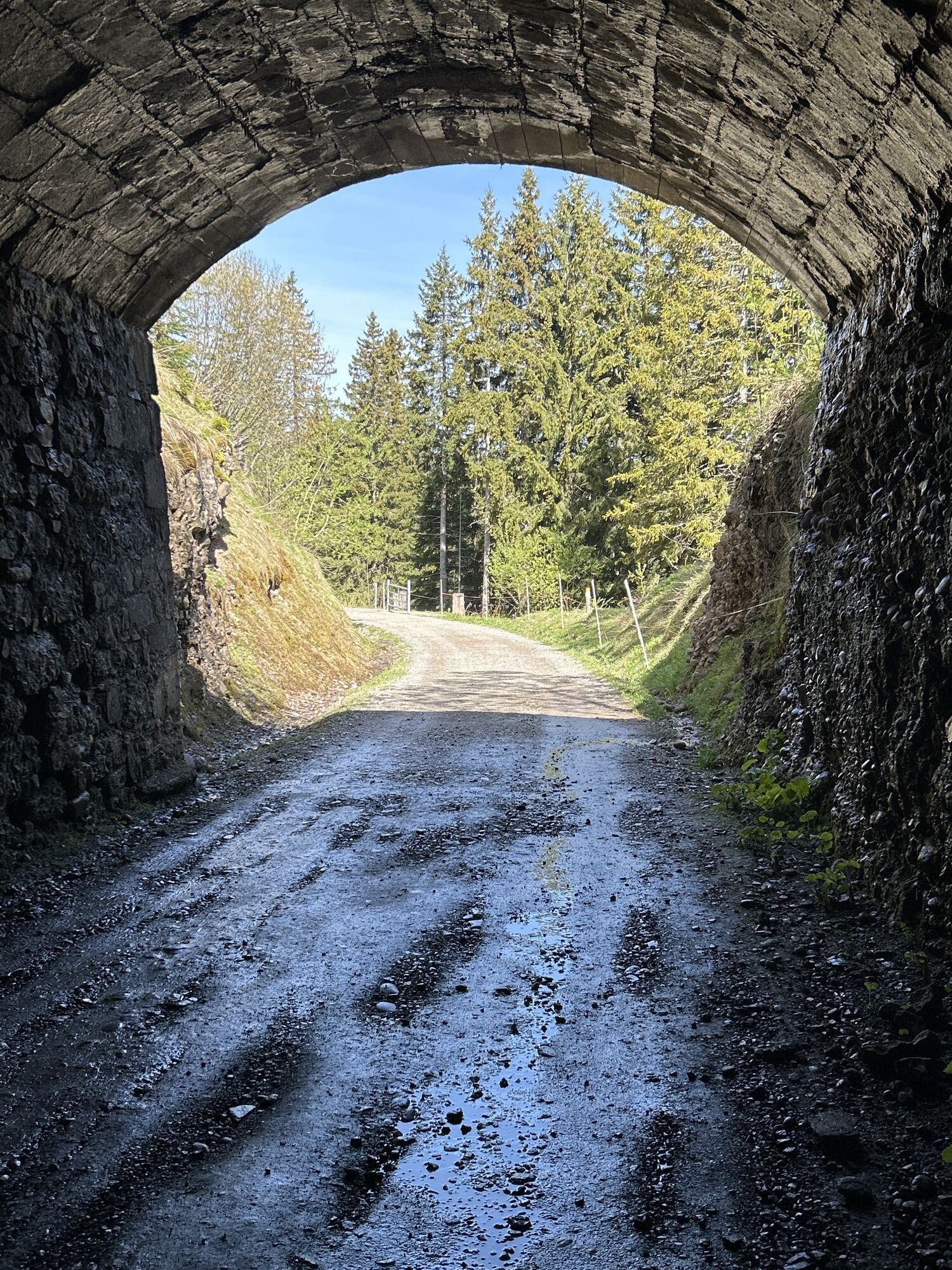
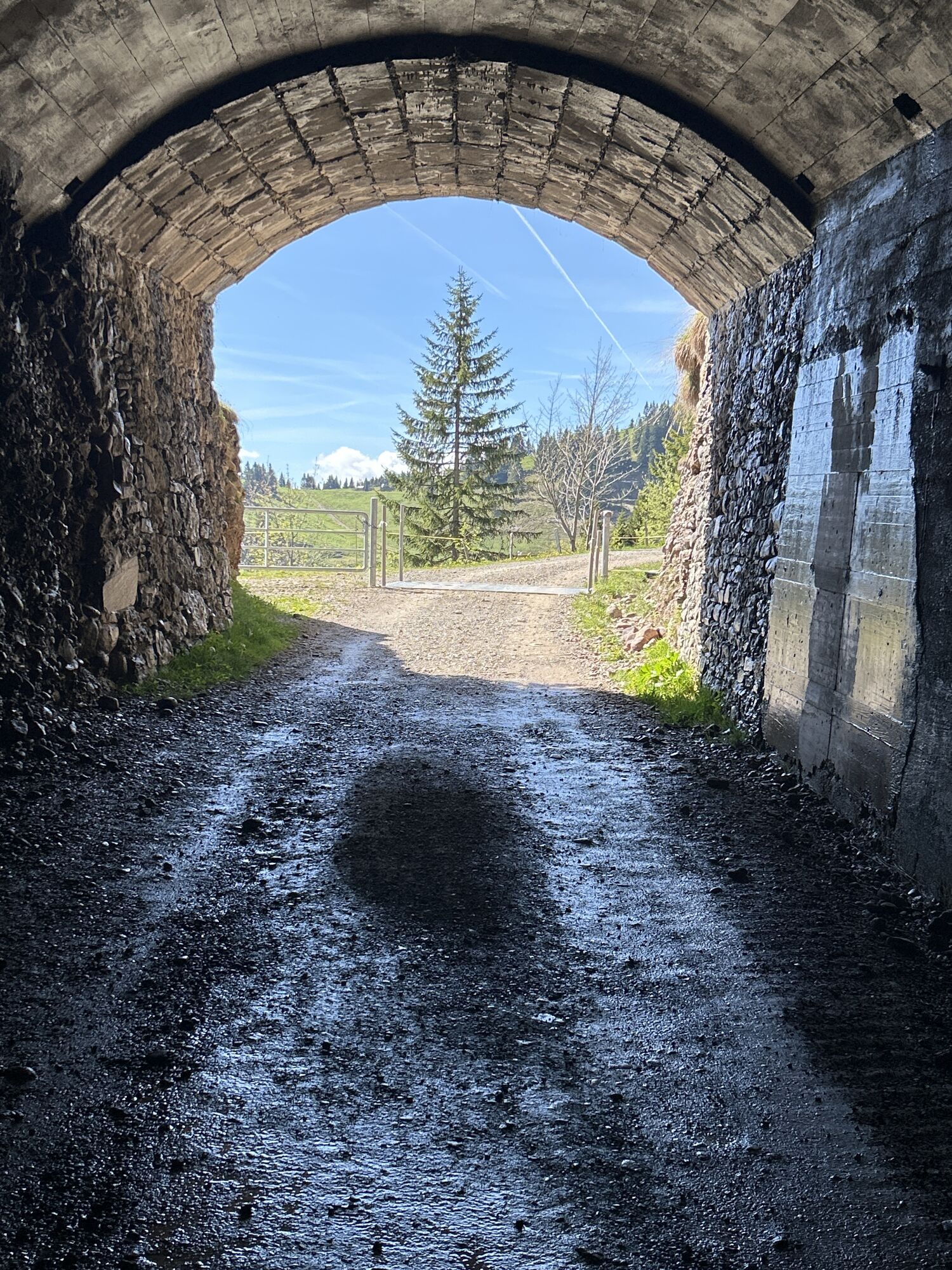
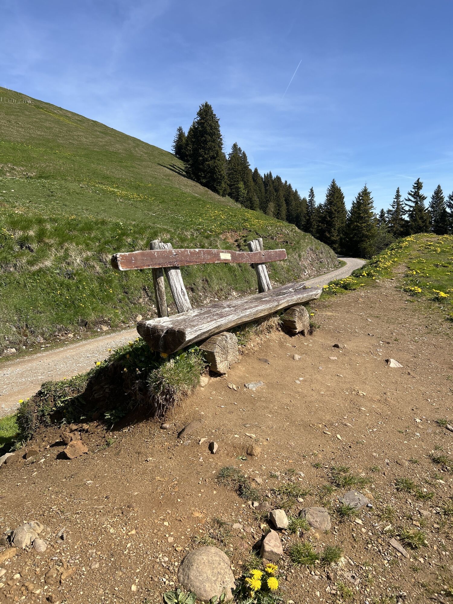
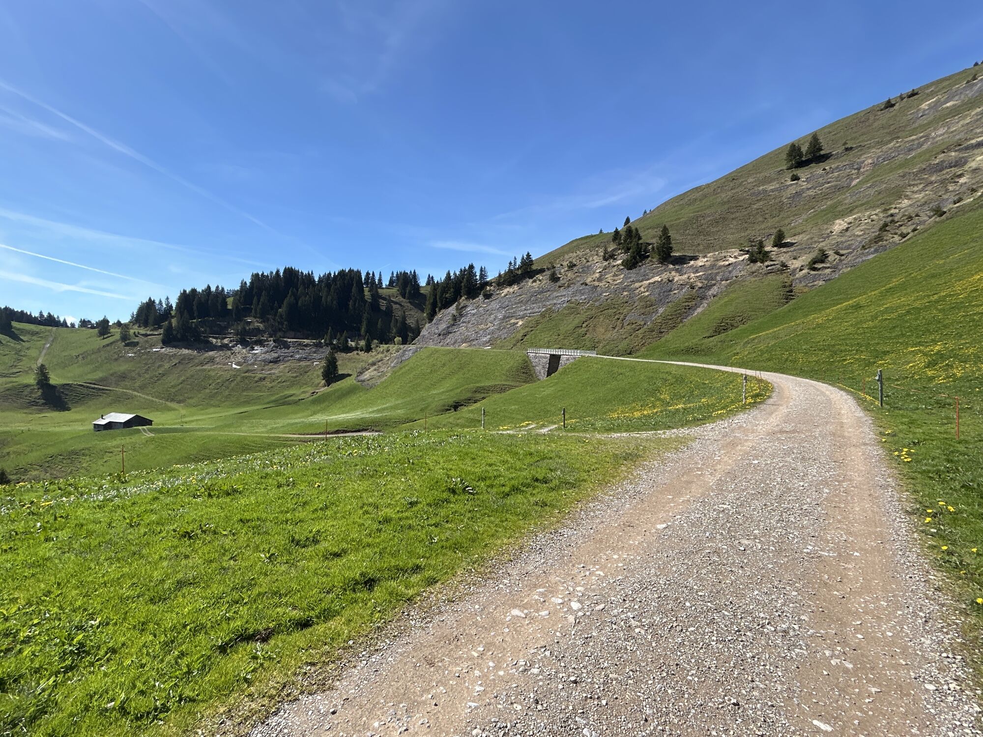
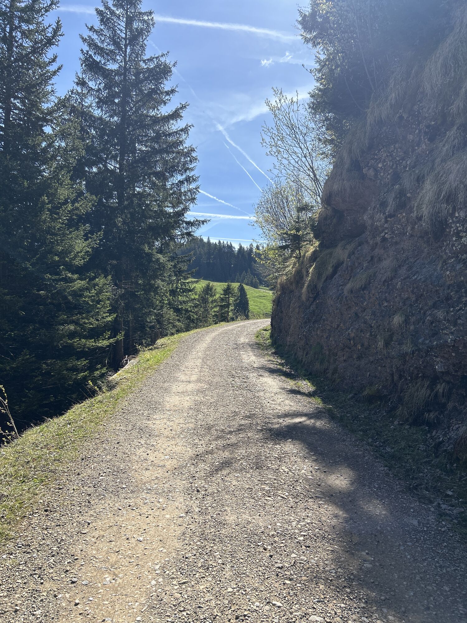
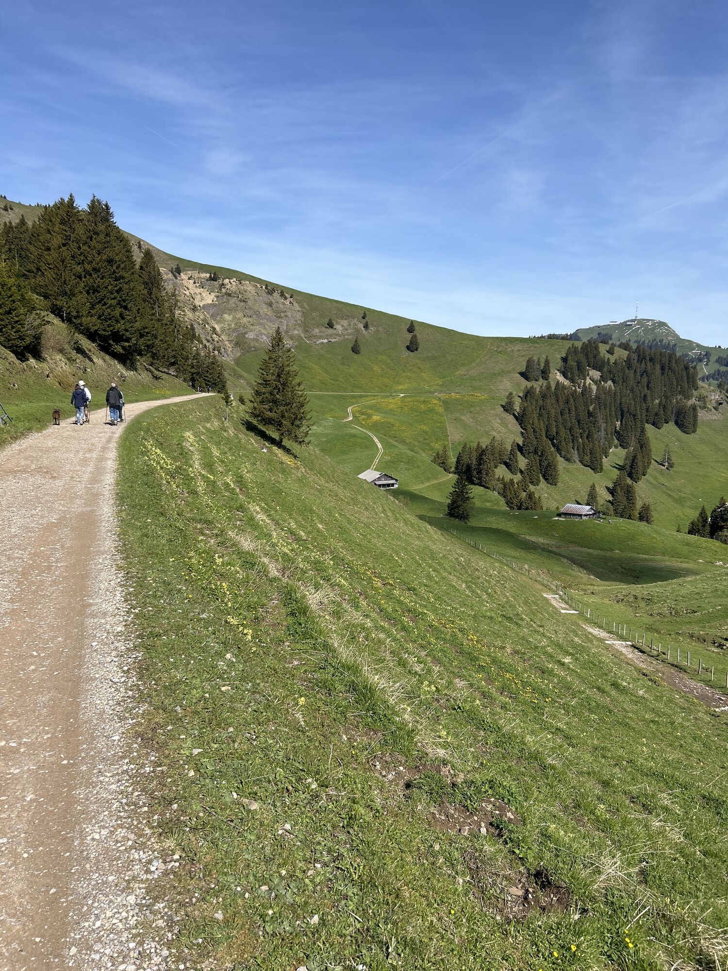
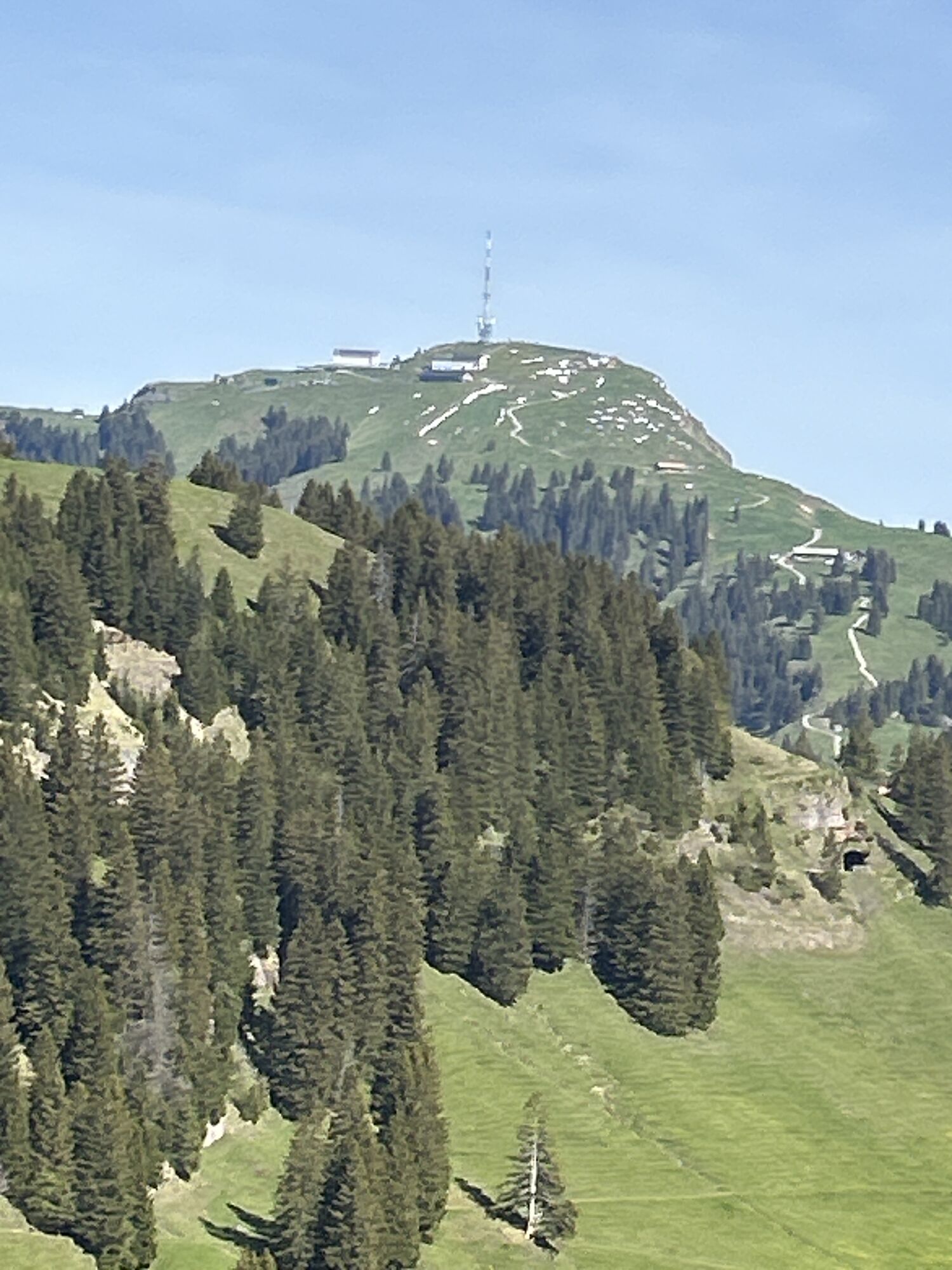
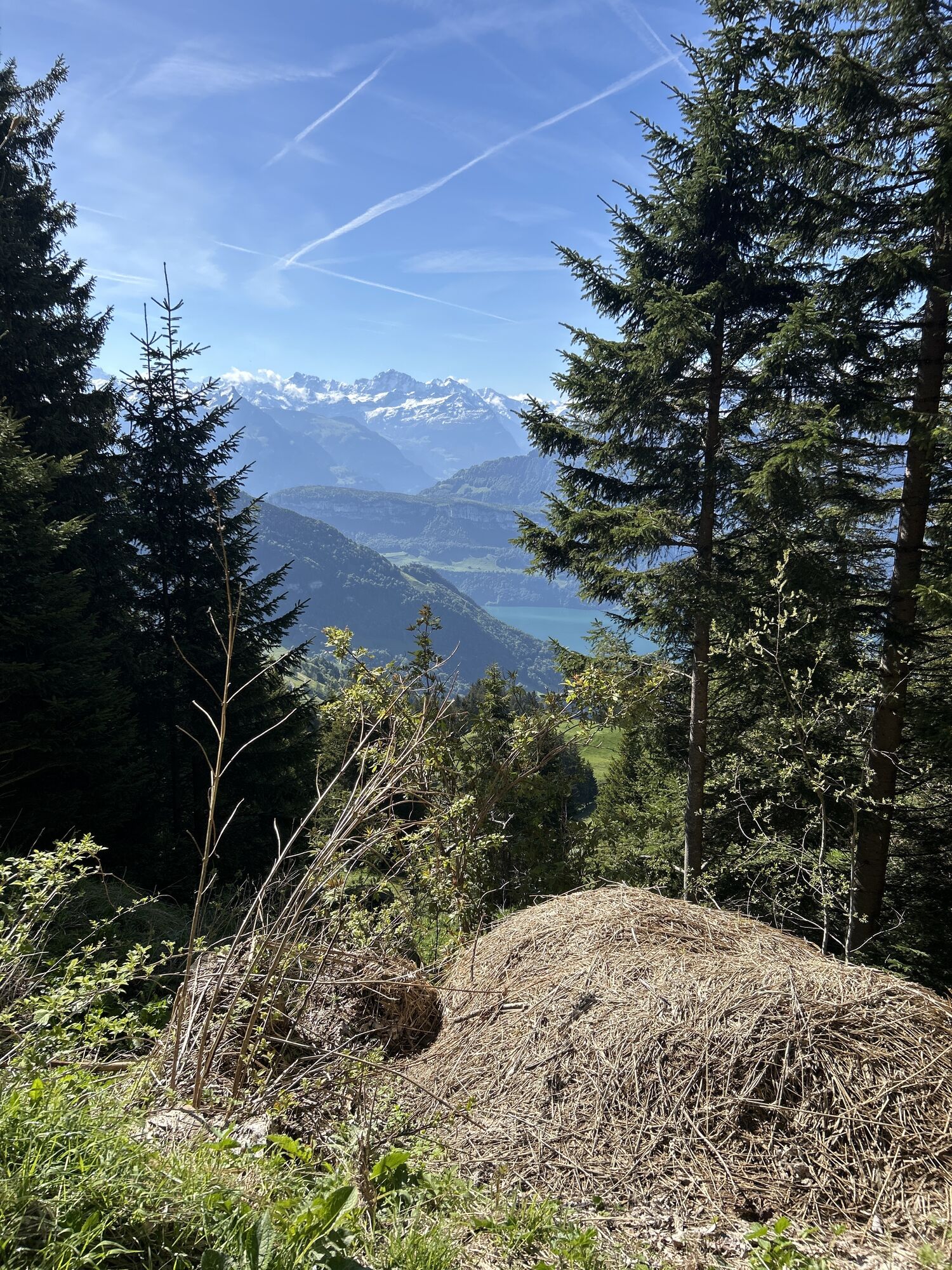
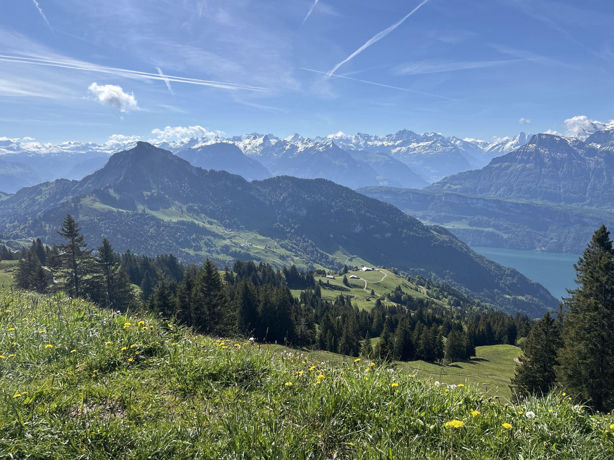
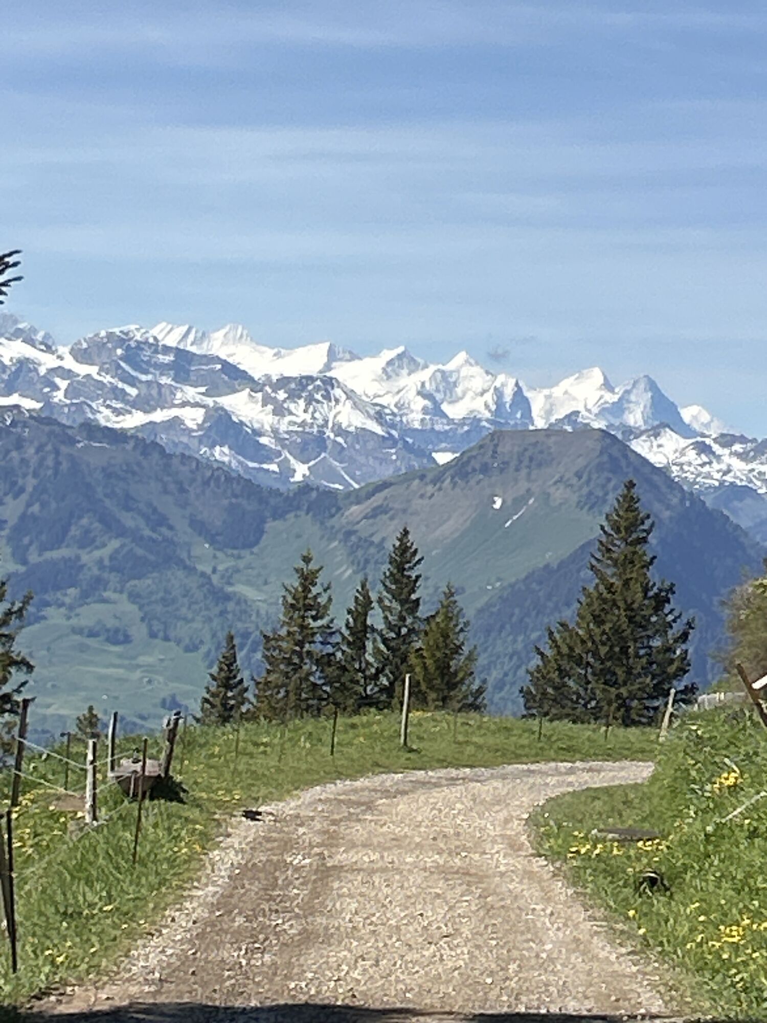
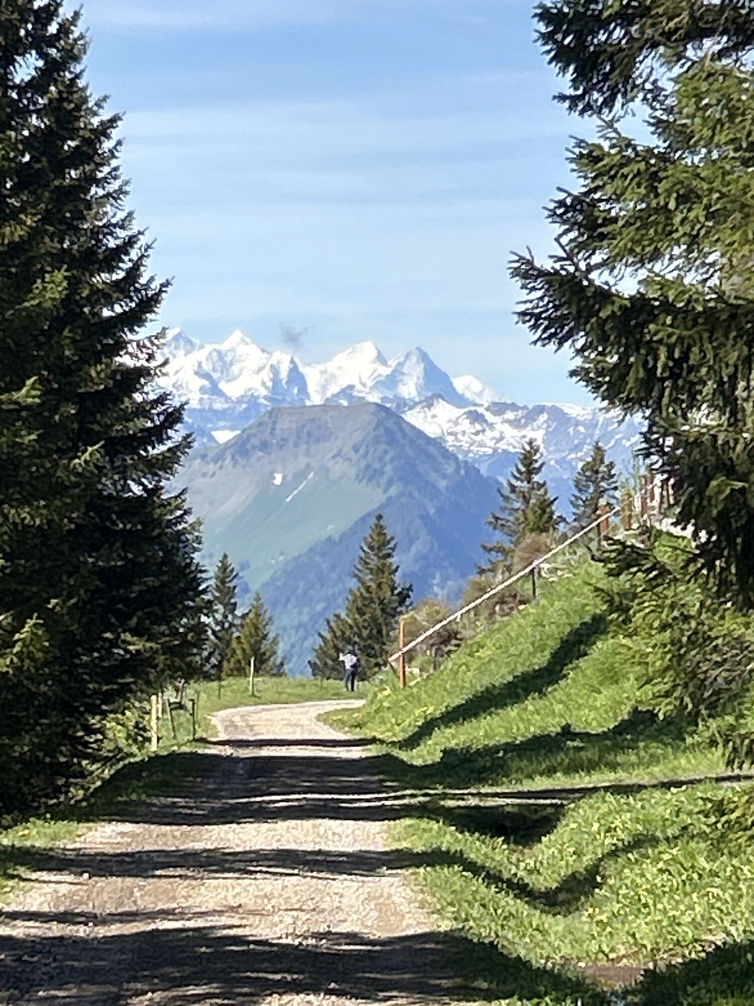
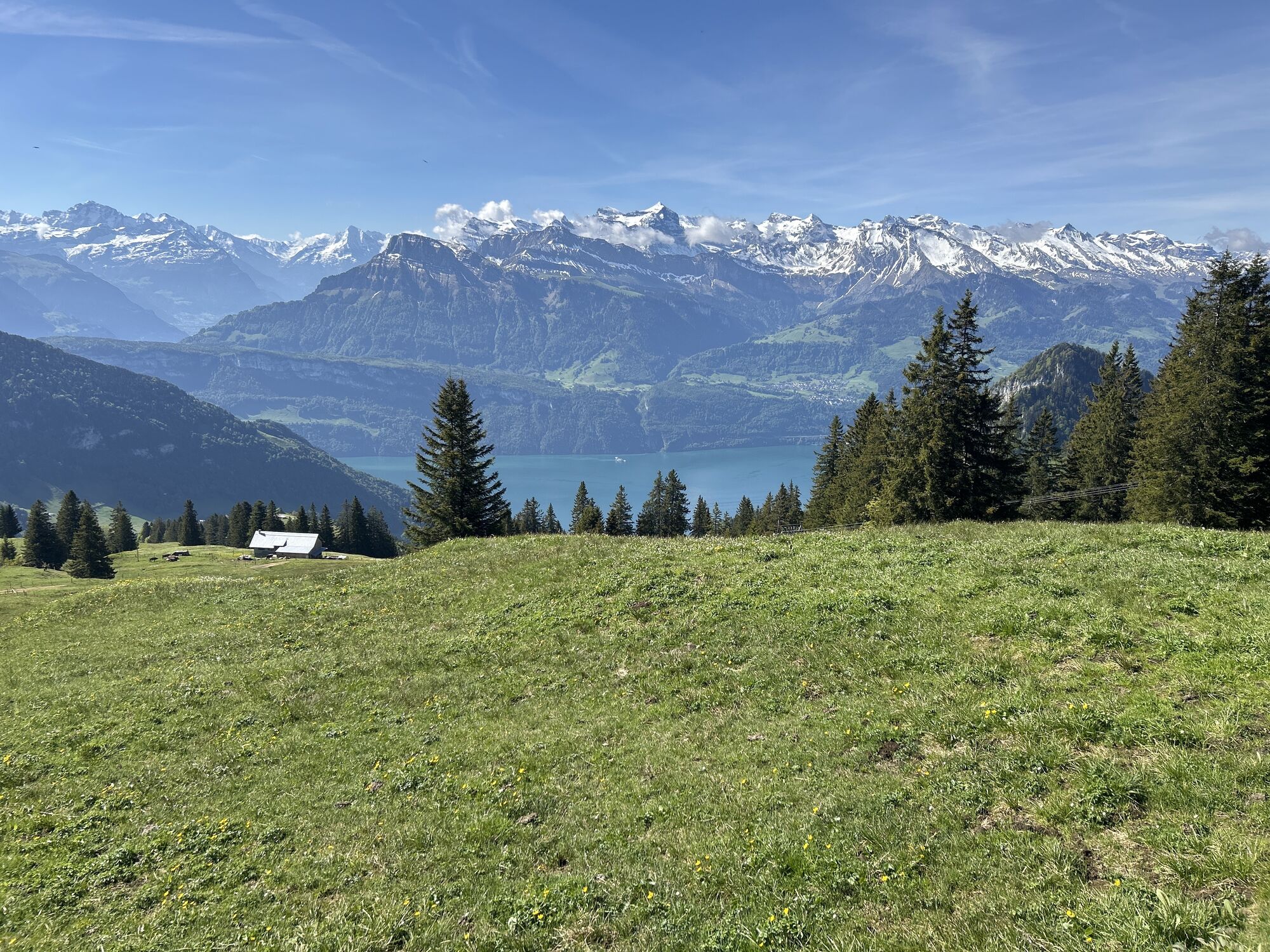
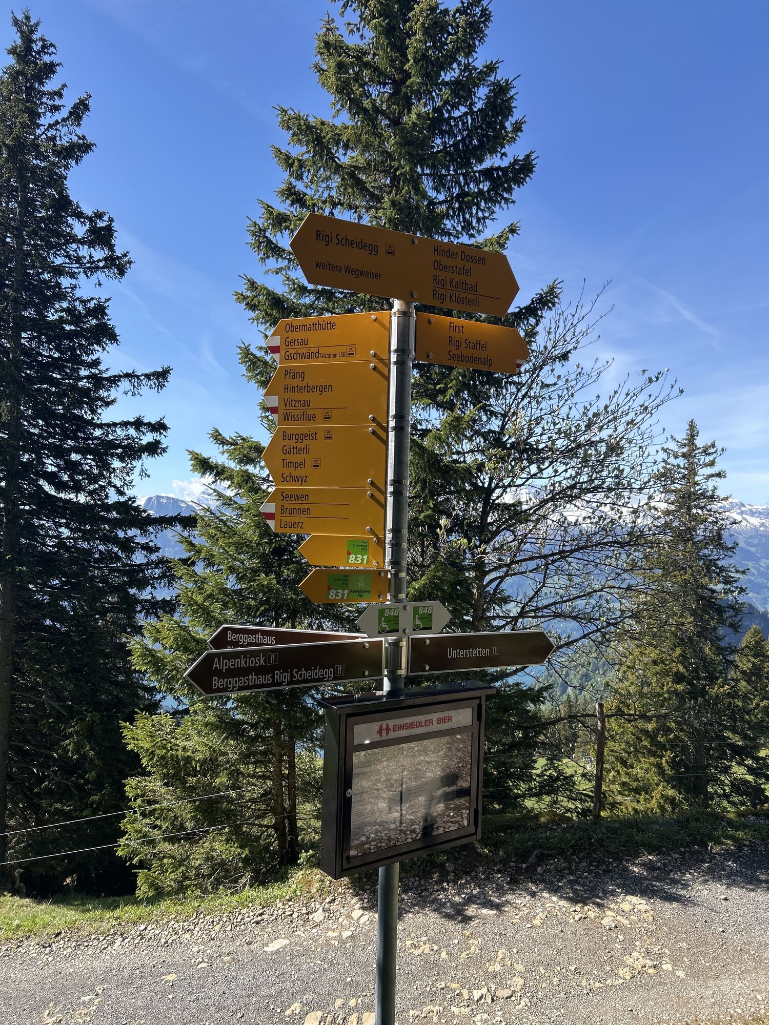
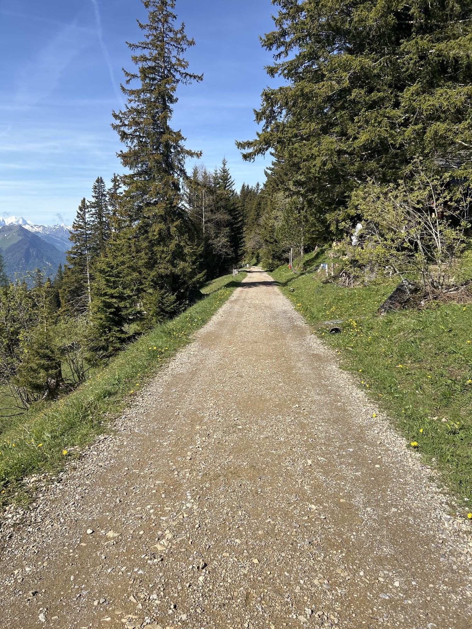
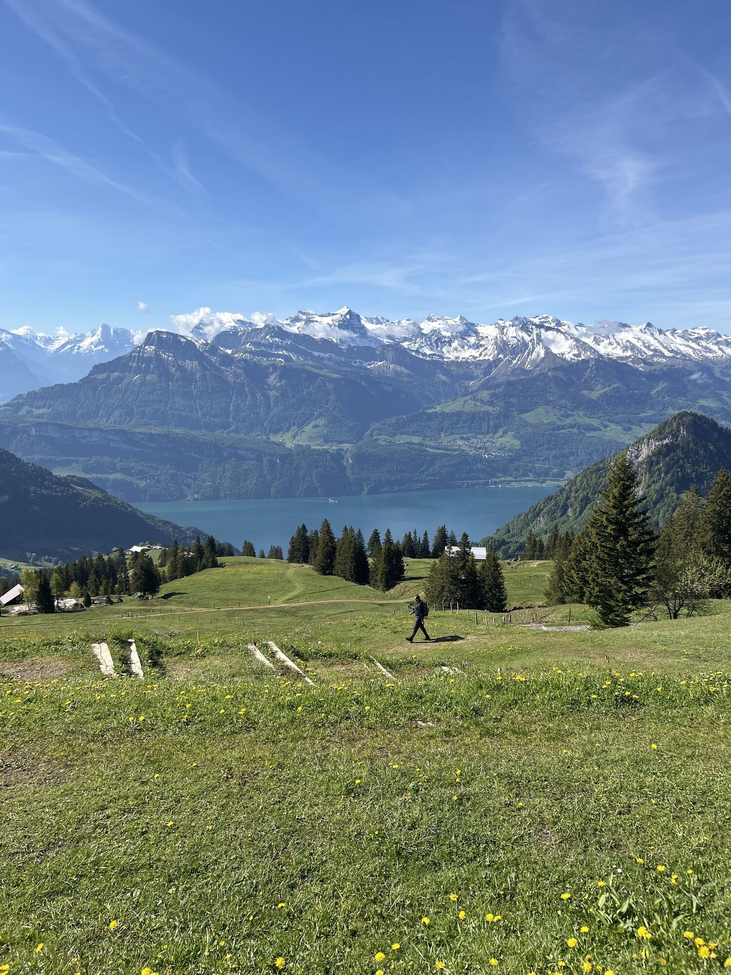
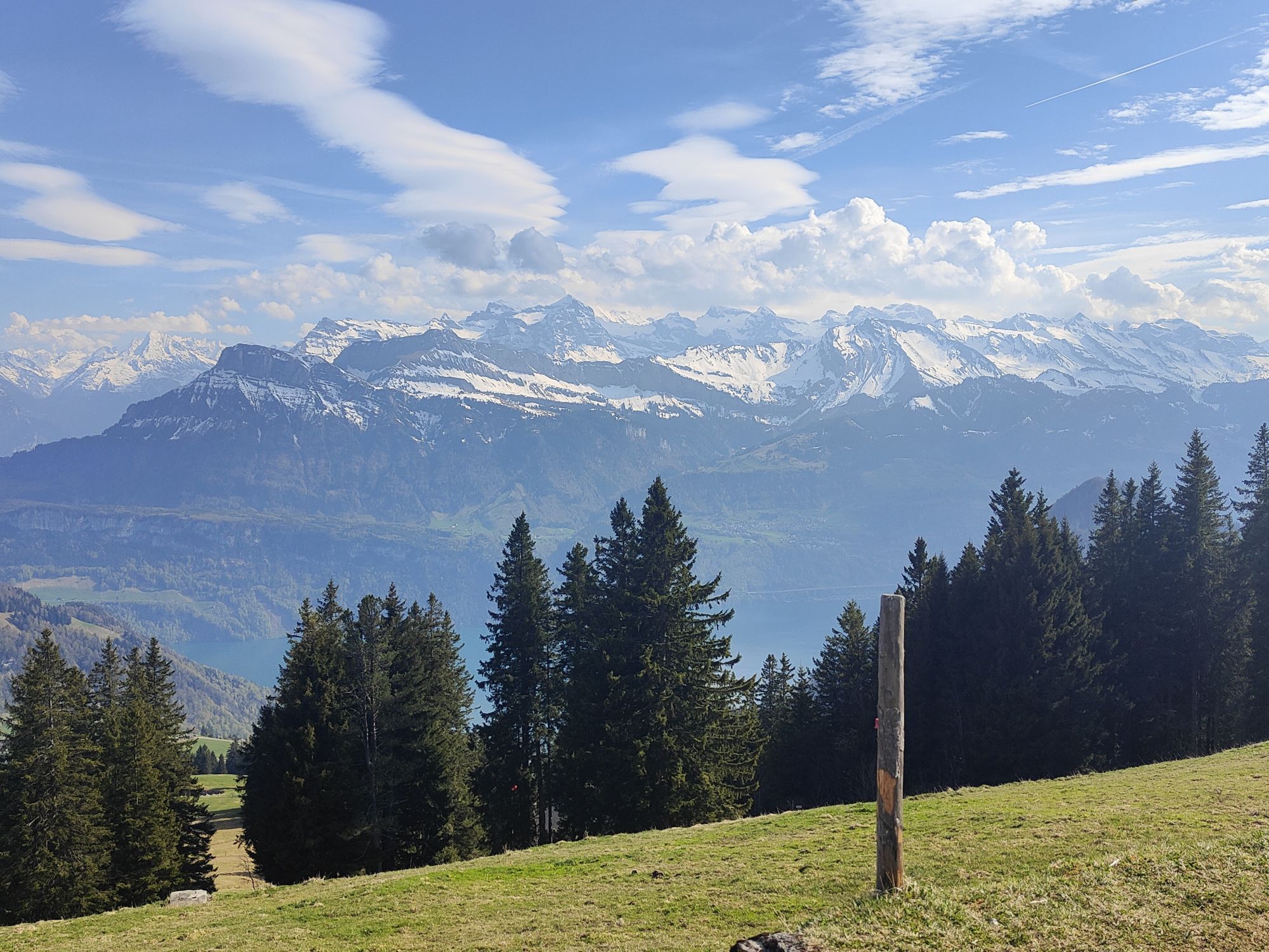
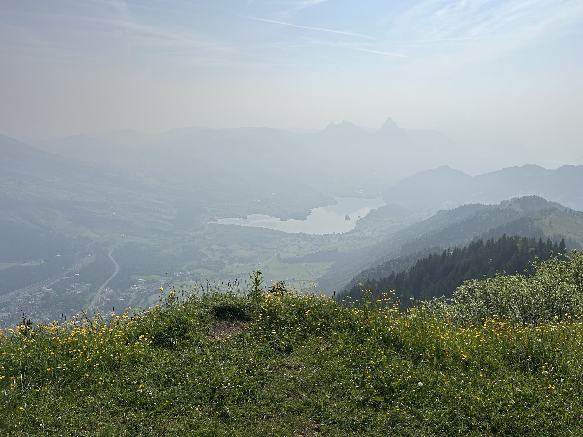
The 7 km long, classically prepared cross-country trail takes you from Rigi Kaltbad to Rigi Scheidegg and follows by the mostly flat route of the former Rigi-Scheidegg railway. You will start at Rigi Kaltbad,...
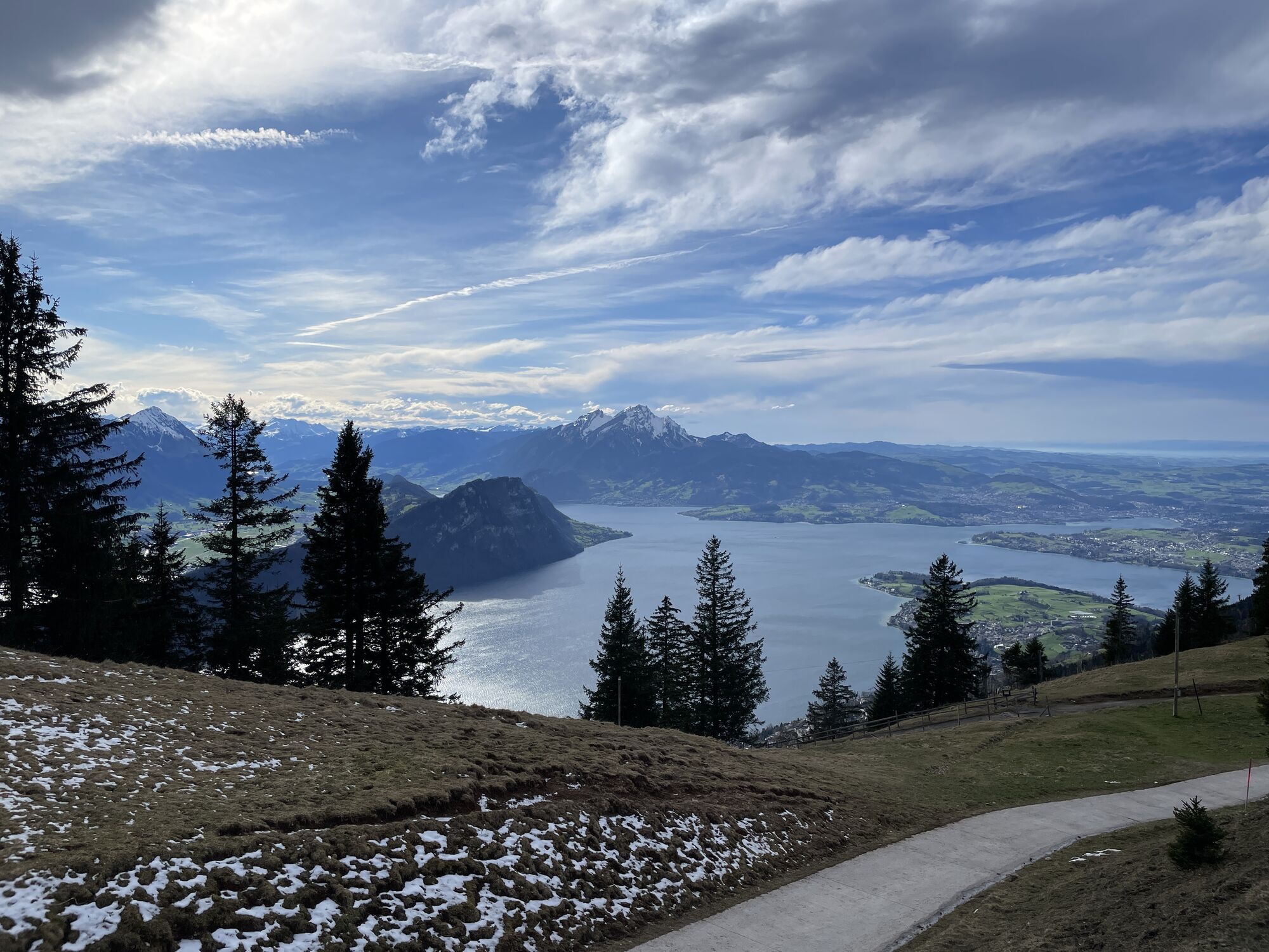
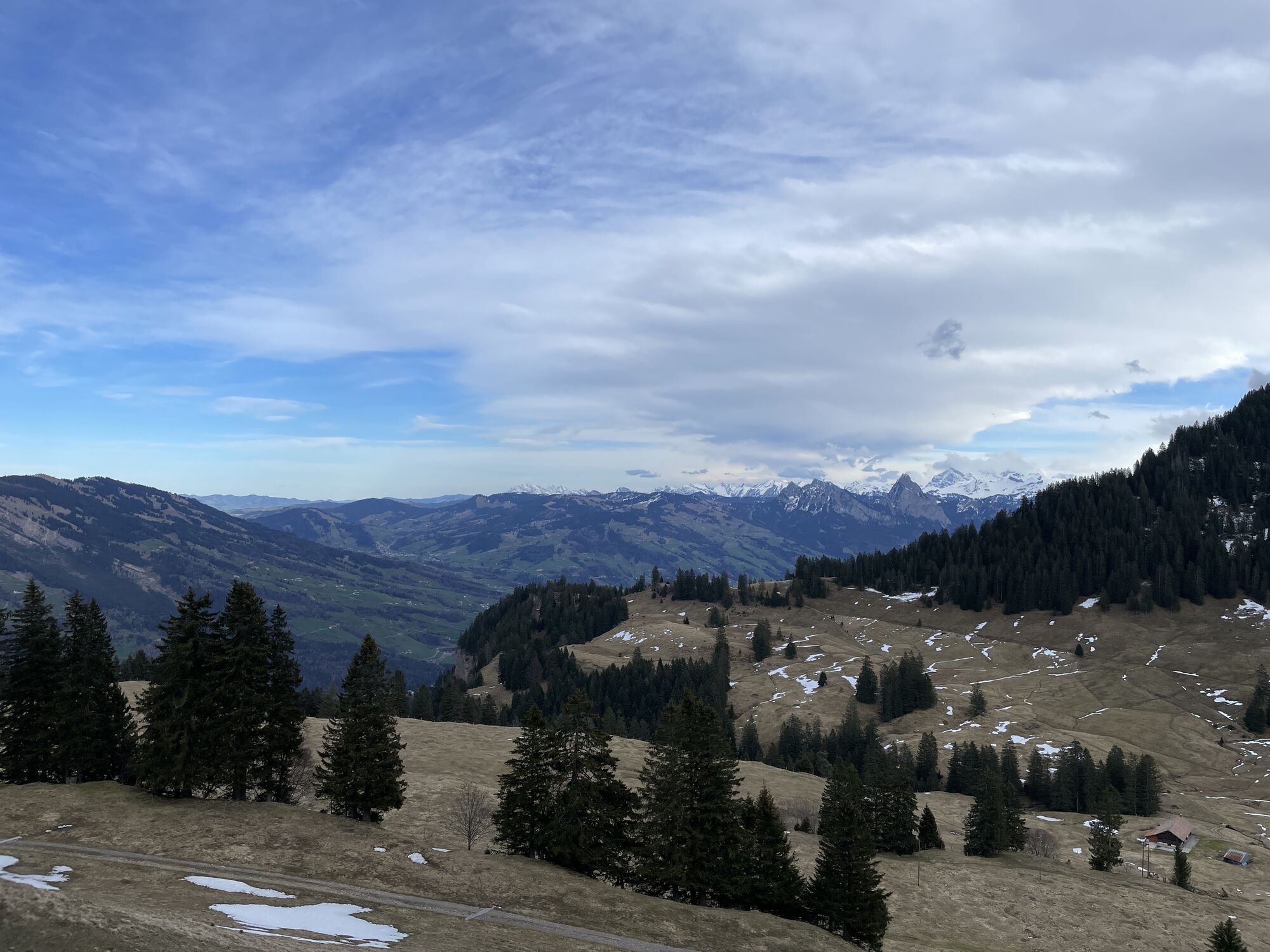
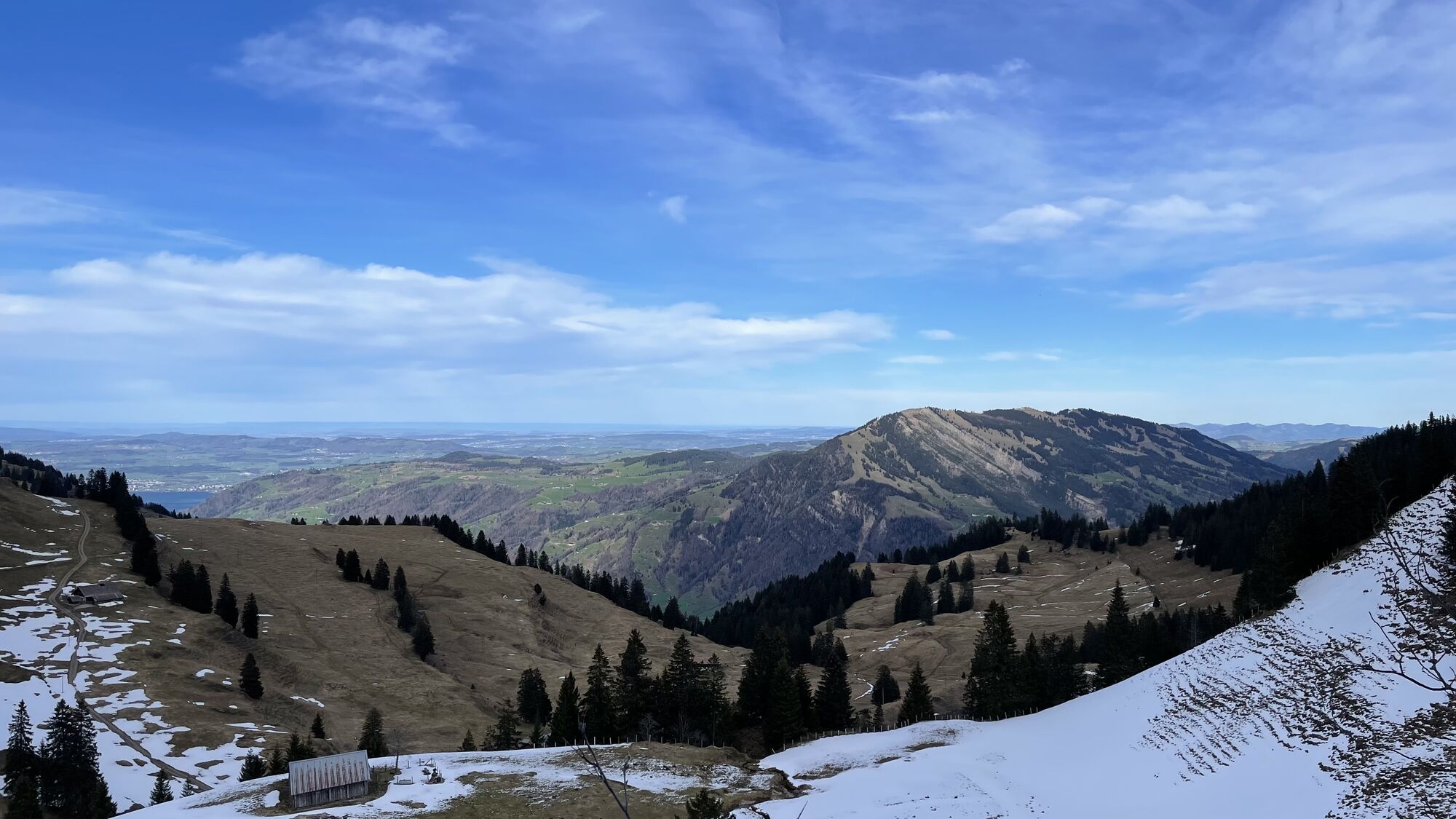
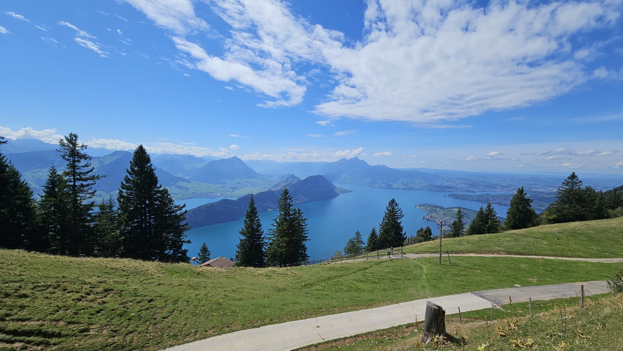
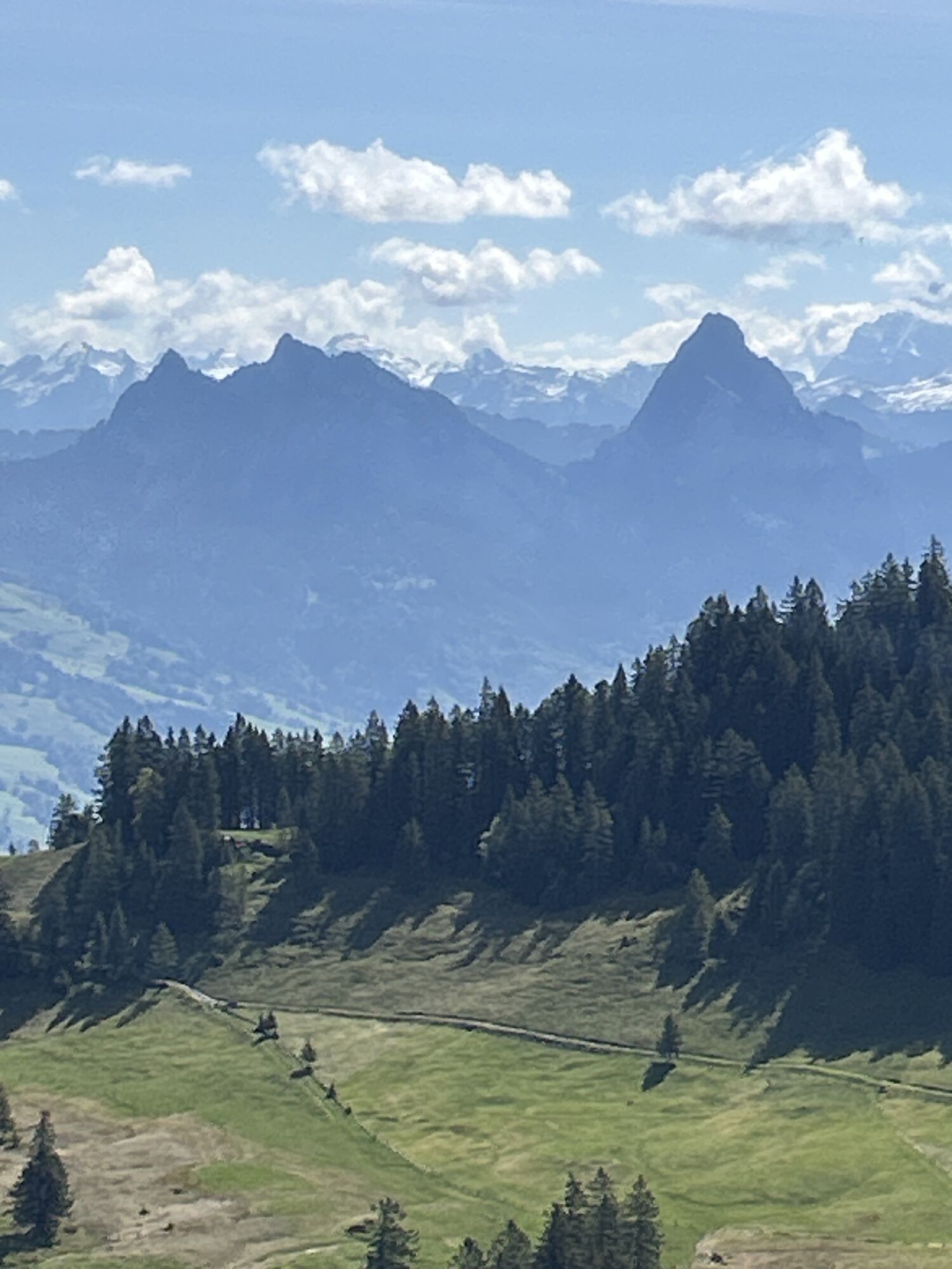
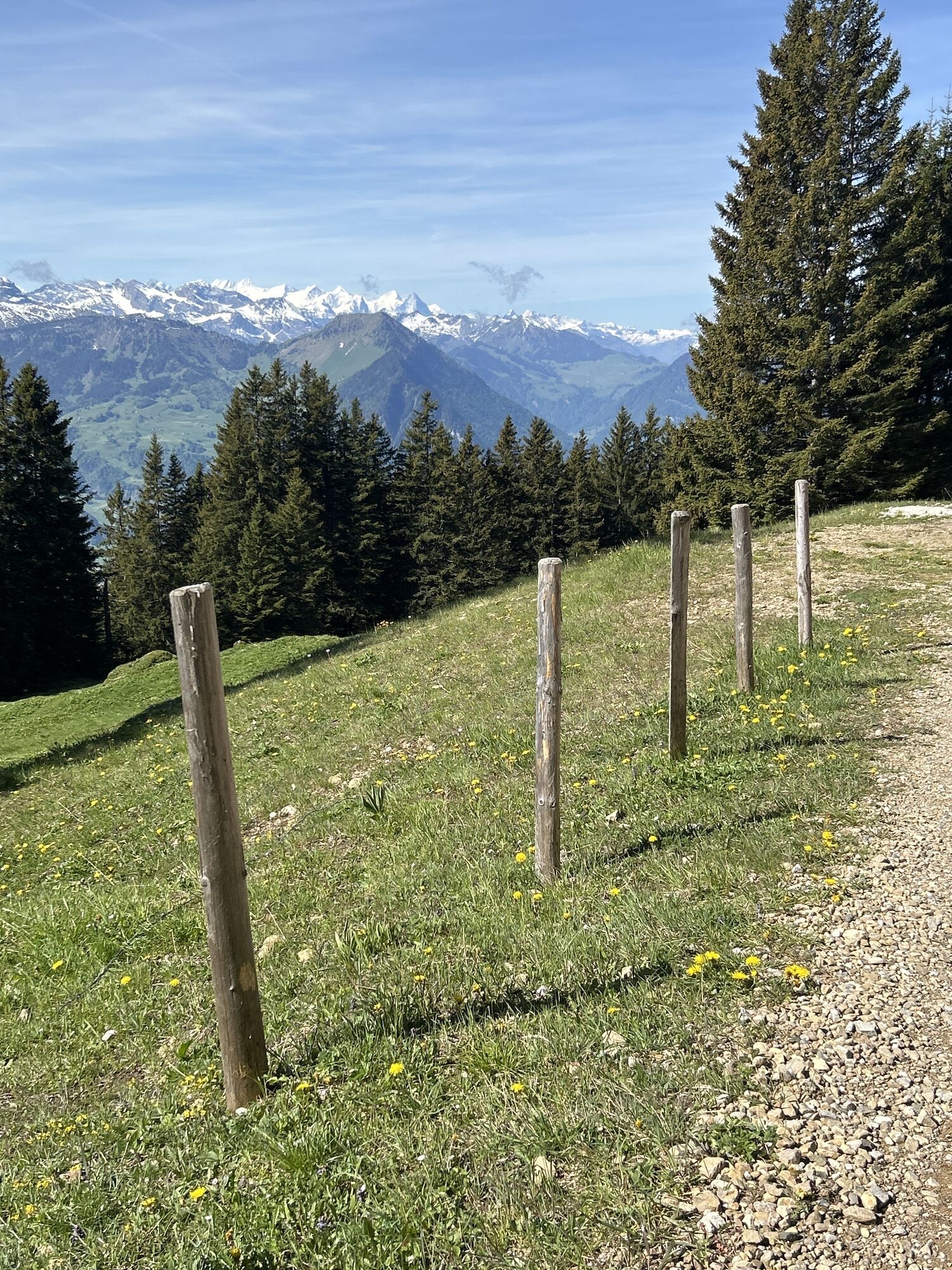
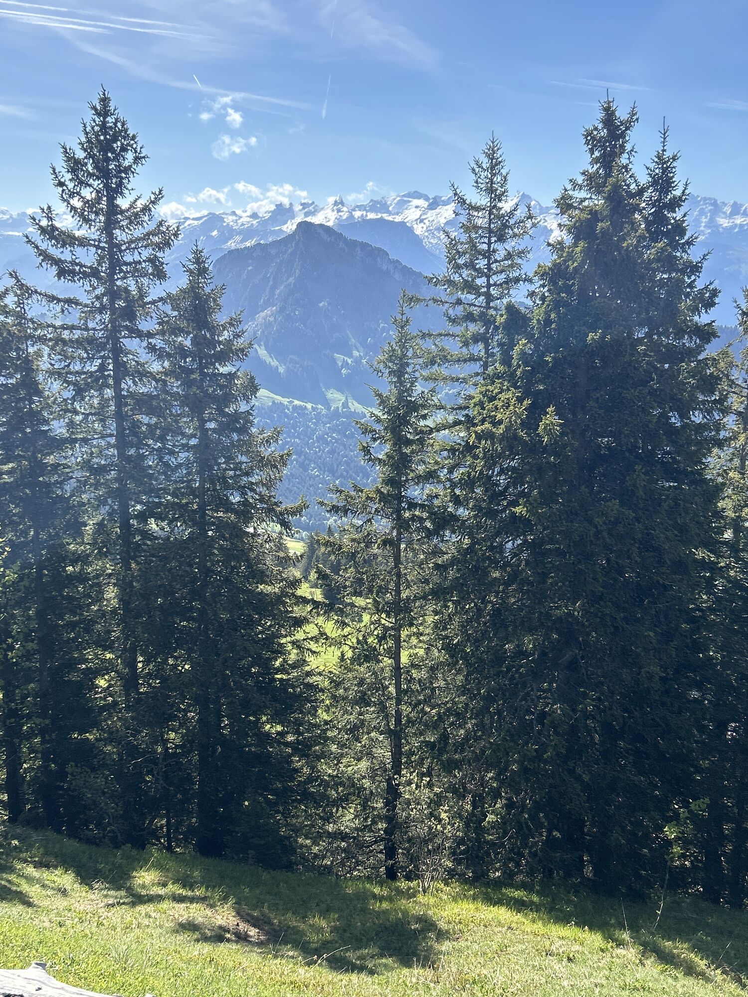
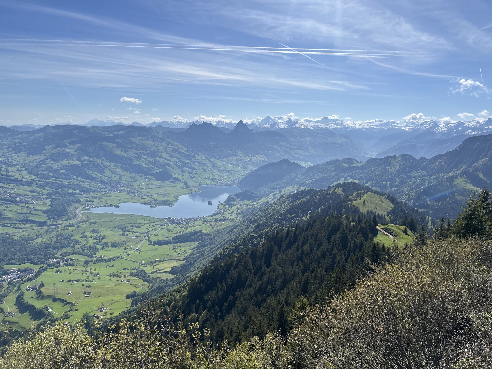
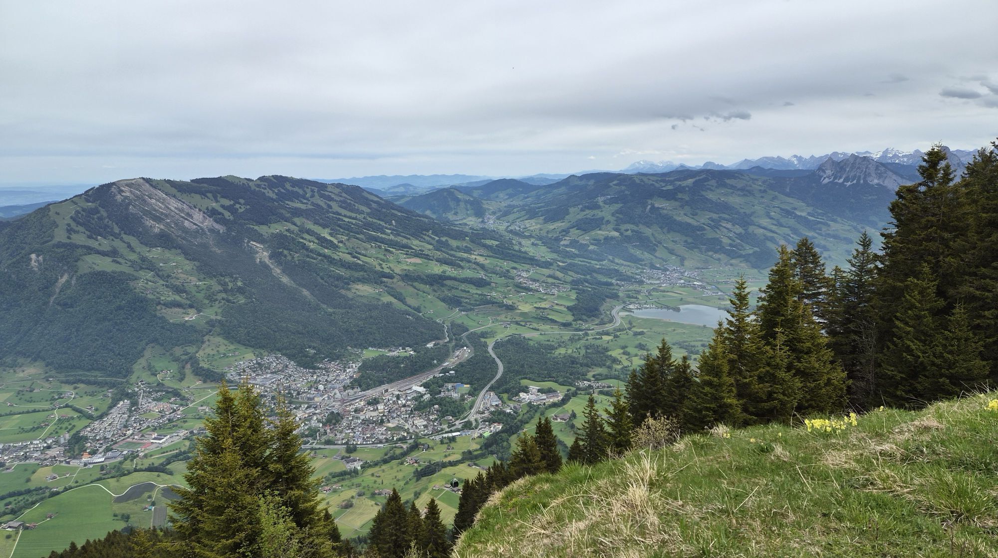
The 7 km long, classically prepared cross-country trail takes you from Rigi Kaltbad to Rigi Scheidegg and follows by the mostly flat route of the former Rigi-Scheidegg railway. You will start at Rigi Kaltbad, where you can use deposit compartments and changing rooms. Via Rigi First you will reach Rigi Scheidegg after 7 kilometres. The panoramic views of the Alps, Lake Lucerne and the Schwyz basin are just breathtaking . A sporty treat for body and soul awaits you. You can rent the cross-country skiing equipment in the sport shop at Rigi Kaltbad.
For your information
You can find the current operating status of the railways here.
In order to let our next generation also be inspired from the Queen of the Mountains, may we ask you to dispose of your own waste at Rigi Stations. Thank you.

Rigi Kaltbad (1436 m) – First (1453 m) – Unterstetten (1451 m) – Hinder Dossen (1546 m) – Rigi Scheidegg (1656 m)
Winter suitable cross-country skiing equipments, drinks.
Please always follow the marked cross-country skiing trail.
A4 highway, exit Küssnacht, direction Weggis - Vitznau
A4 highway, exit Brunnen, direction Vitznau - Weggis
From Vitznau or Weggis, you can reach Rigi Kaltbad, the starting point of the hike, either by cogwheel train or aerial cable car.
Parking spaces are avaliable at Rigi valley stations for a fee.
Further information on arrival and parking
However, we recommend you to arrive by public transportations instead of cars: just lean back, enjoy and do something good for the environment.
At the end of this hike, I recommend to take a refreshment with local delicacies in the mountain inn Rigi Scheidegg and enjoy this wonderful view.
Webcams del recorrido

Rutas populares en los alrededores
-
4,6
Gratwanderung Klingenstock
luzSenderismo 9,36 km -
4,6
Rundwanderung
luzSenderismo de montaña 12,9 km -
4,3
Mythenweg - Bergwanderung auf den Grossen Mythen
pesadoSenderismo 3,40 km -
4,5
Kleiner Mythen
medioSenderismo 6,31 km -
3,9
Rundweg Seebodenalp Küssnacht am Rigi, Schweiz
medioSenderismo 9,56 km -
4,7
Mythen via Ibergeregg
medioSenderismo 9,73 km -
4,4
Seebodenalp Panoramaweg
luzSenderismo 5,25 km -
4,8
Holzegg - Grosser Mythen - Restaurant Grosser Mythen - Alpwirtschaft Brunnialp
medioSenderismo 5,66 km -
3,9
Gnipen - ab Goldau - Rundwanderung
medioSenderismo 10,6 km -
5,0
Wanderung entlang der Mythen, Alp "Zwüschet-Mythen"
medioSenderismo 10,5 km
Senderismo y rastreo


No se pierda las ofertas y la inspiración para sus próximas vacaciones
Su dirección de correo electrónico se ha añadido a la lista de correo.





