


Tres pasos, tres cantones y 3100 metros de desnivel
Nivel de dificultad: 3
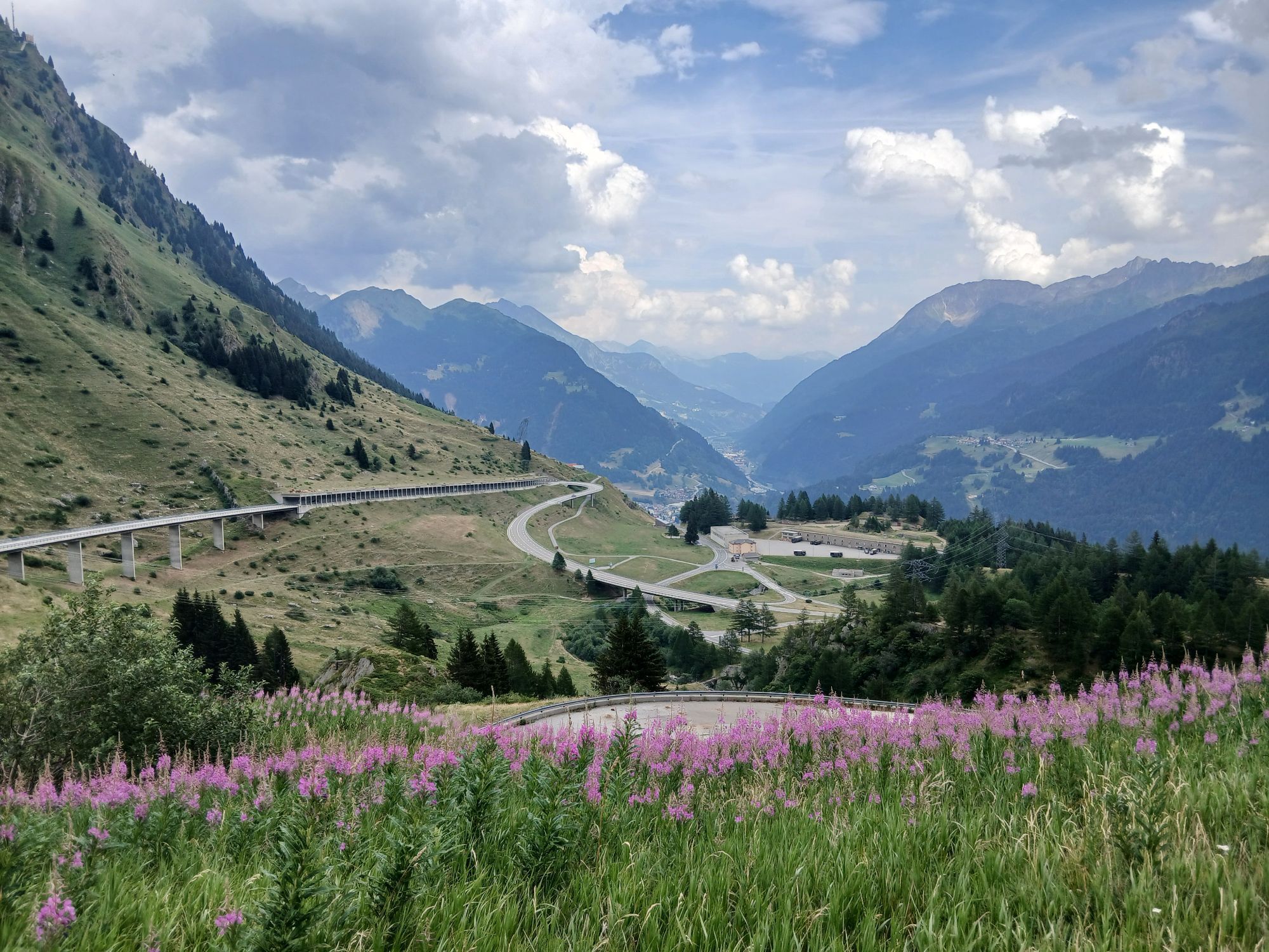
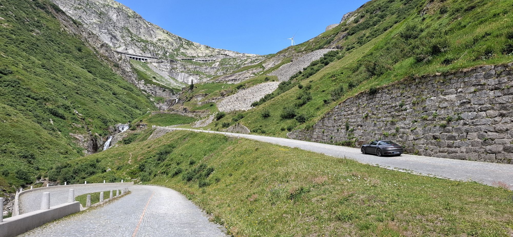
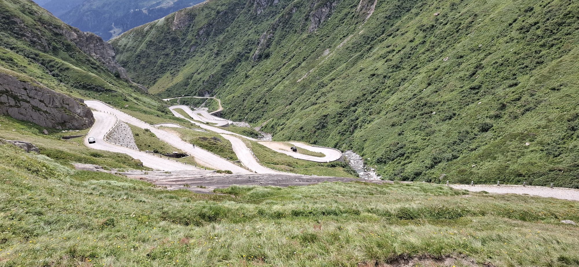
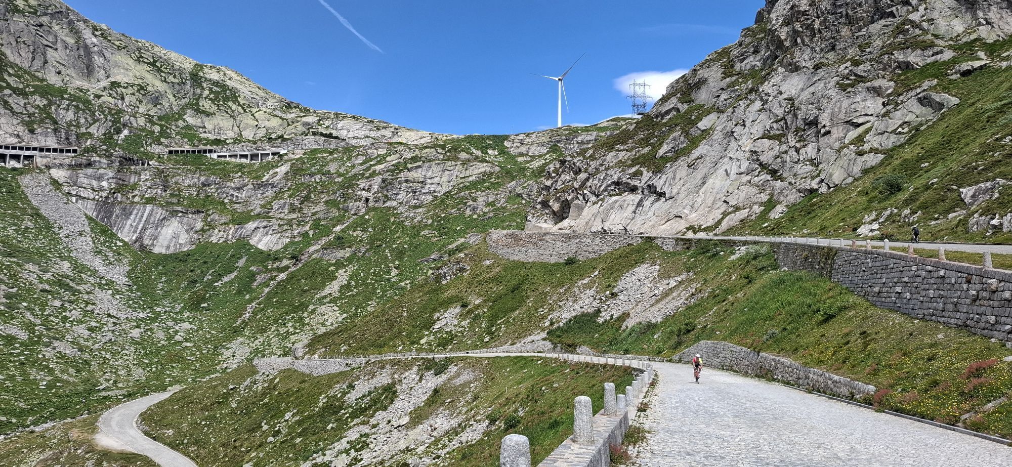

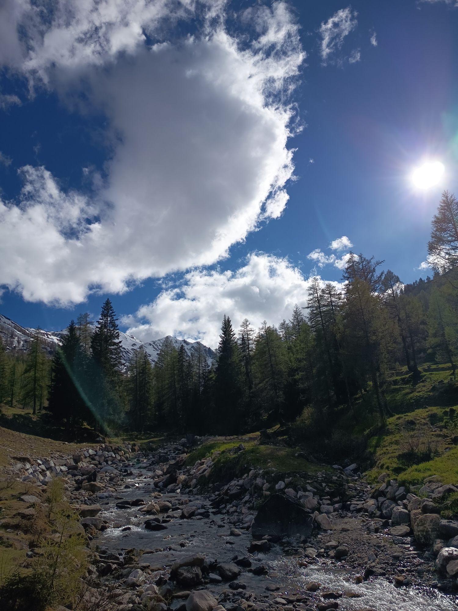

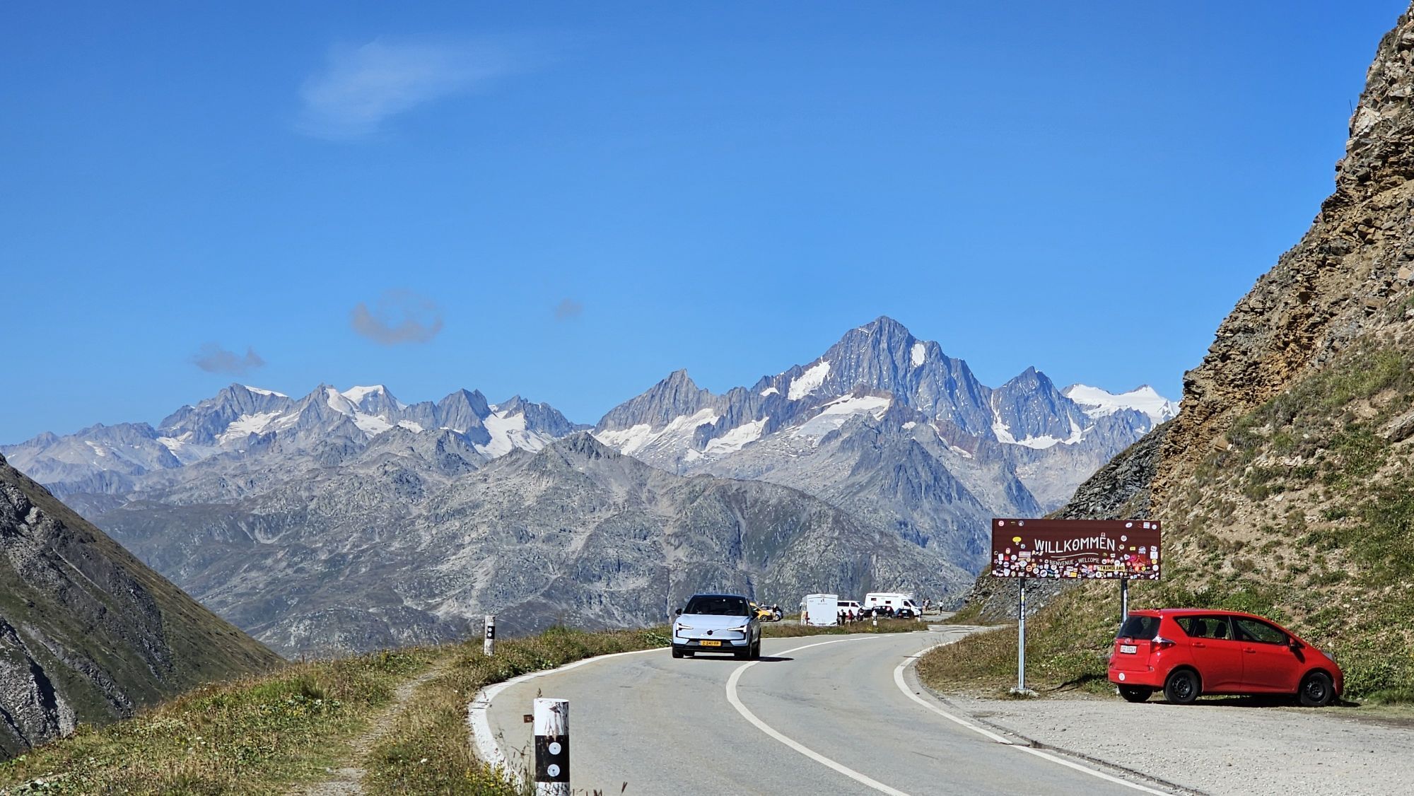
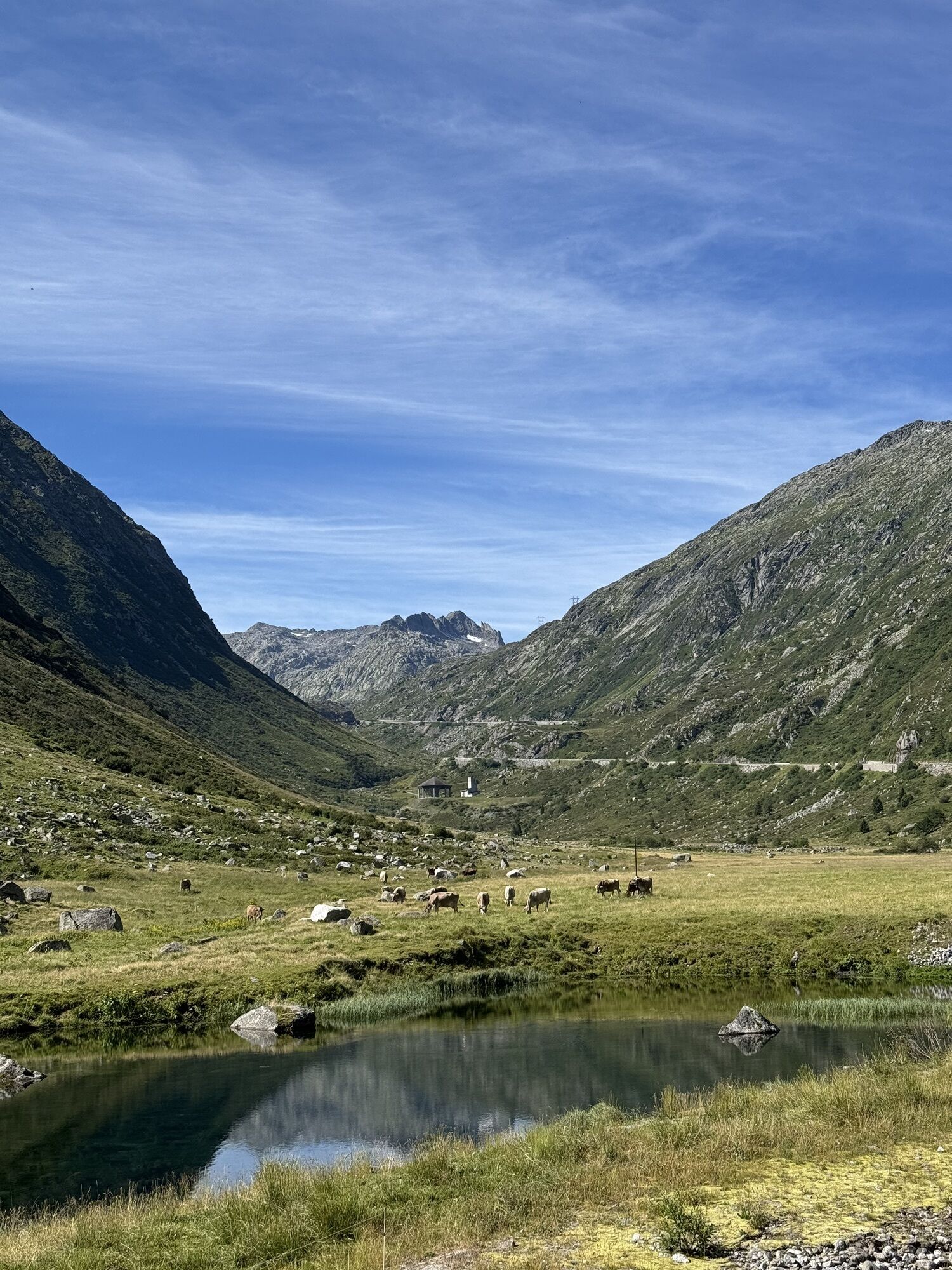

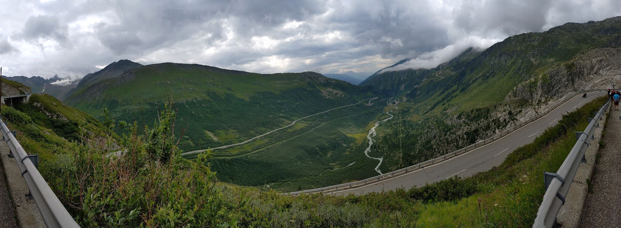
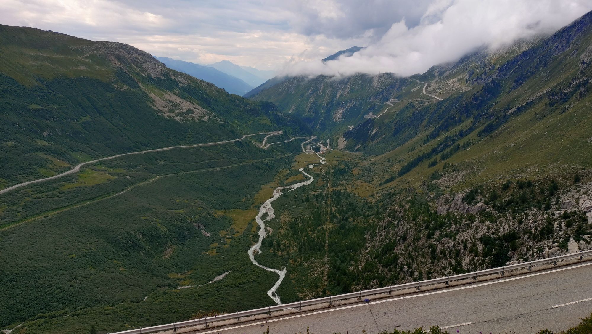
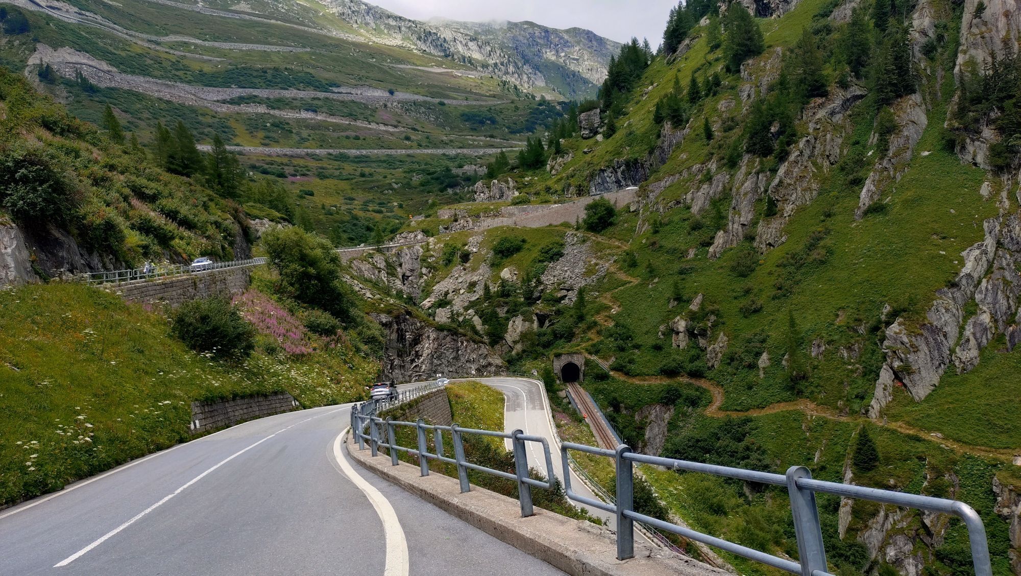

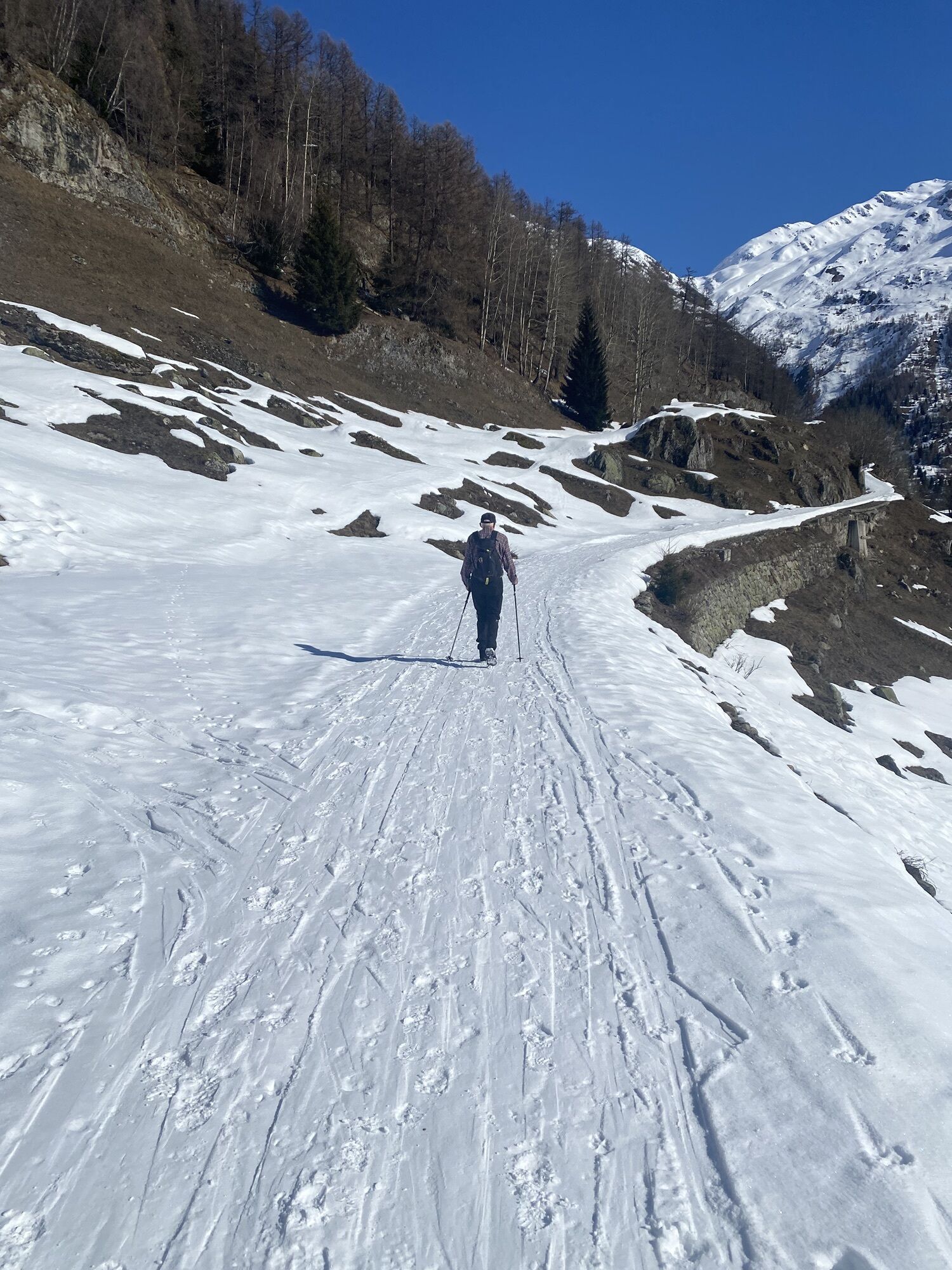
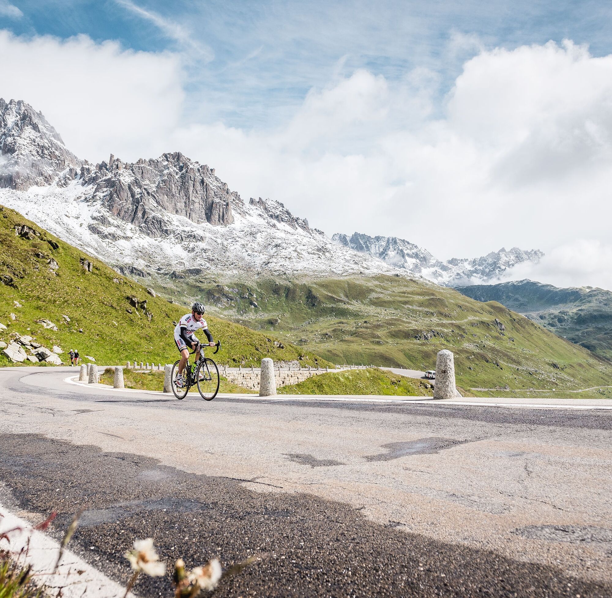
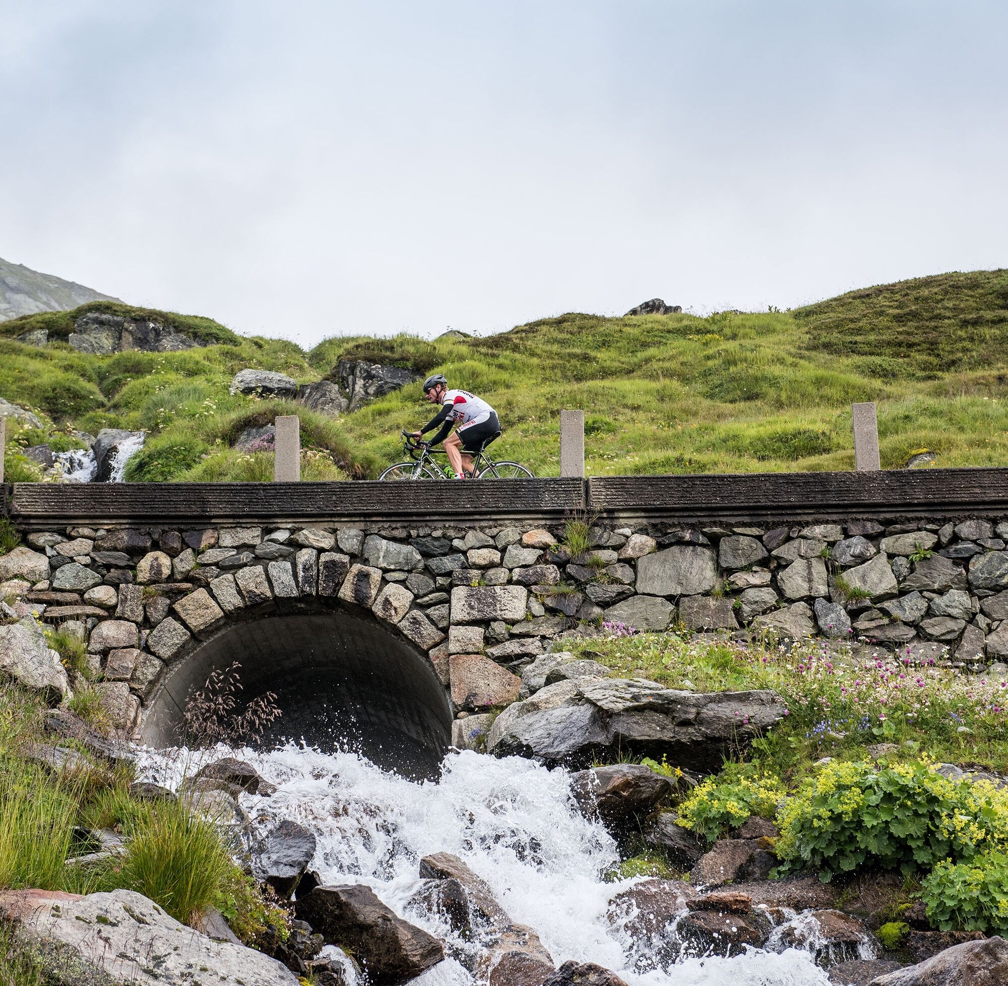
Sube a tu bicicleta de carretera y acepta el reto de los 106 kilómetros a través de los puertos de Furka, Nufenen y Gotthard. Bruno Risi, el ex campeón mundial y europeo de ciclismo en pista, medallista...
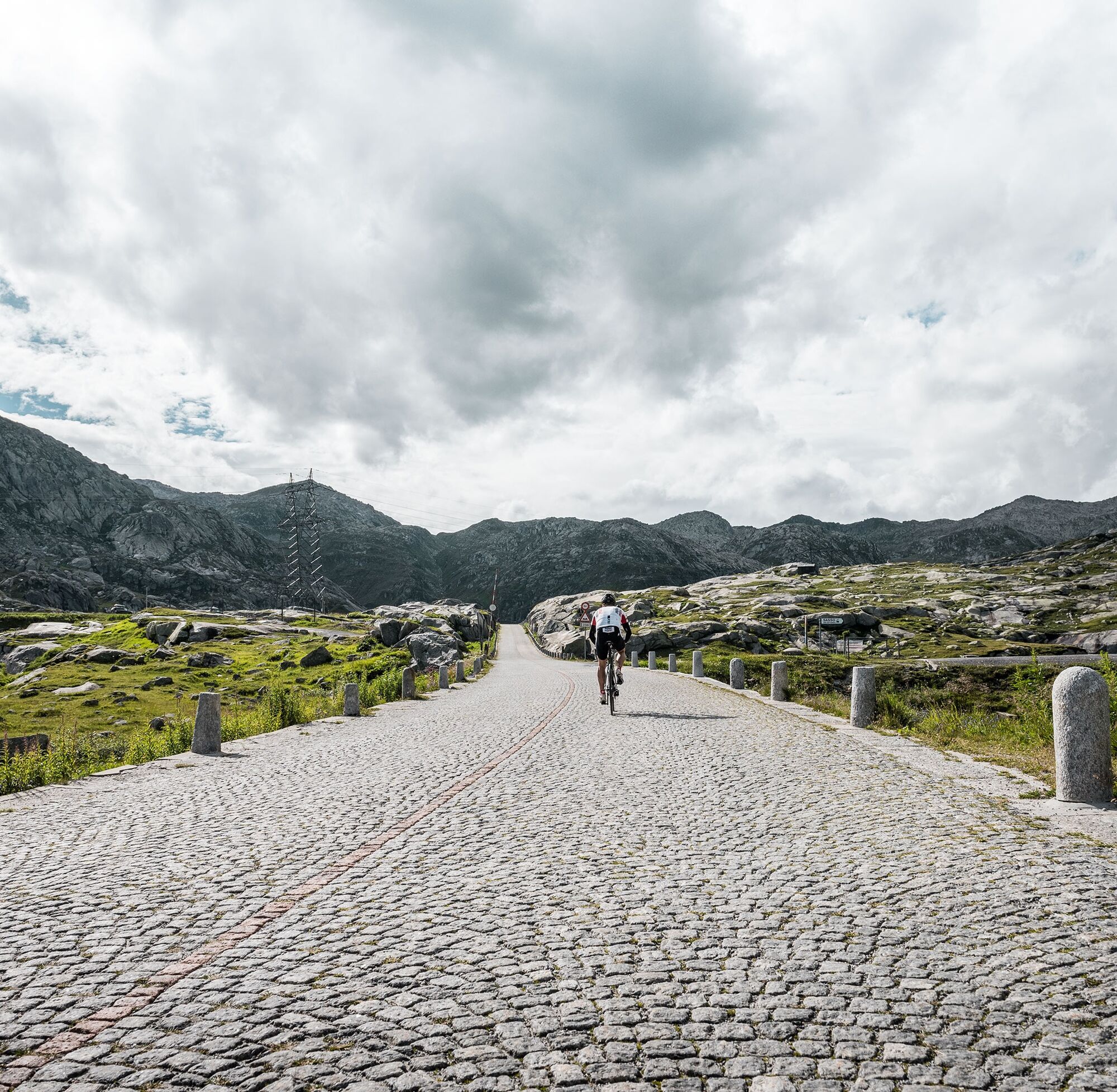
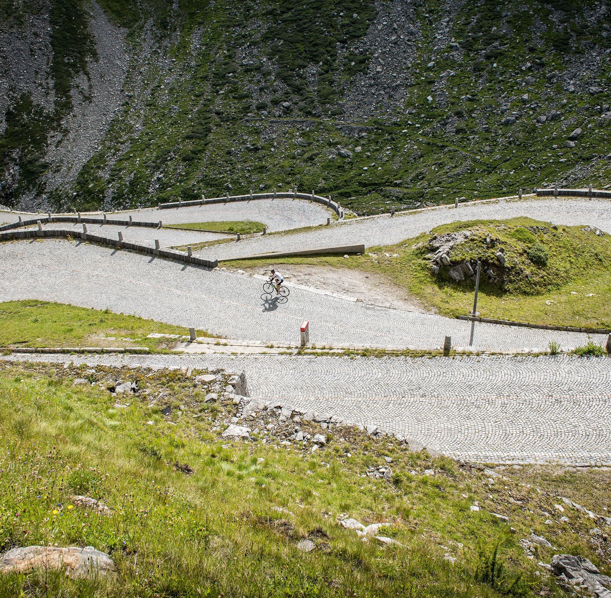
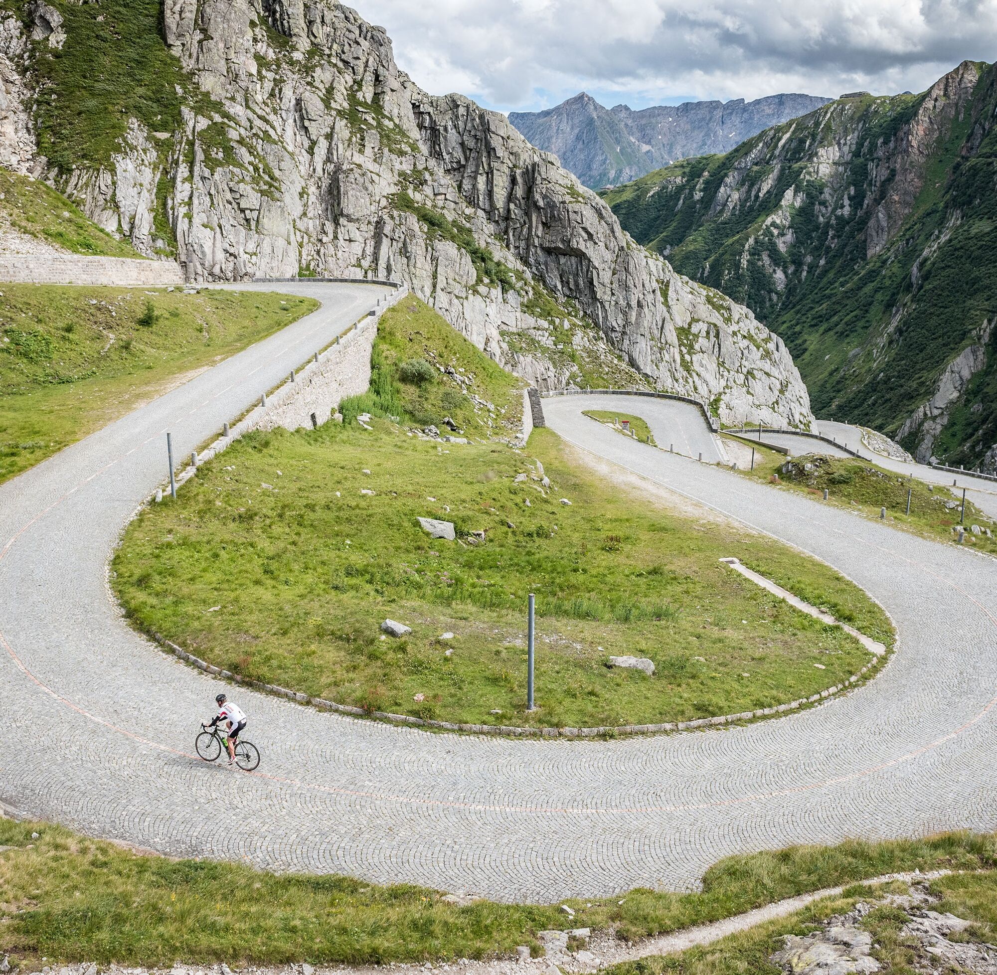
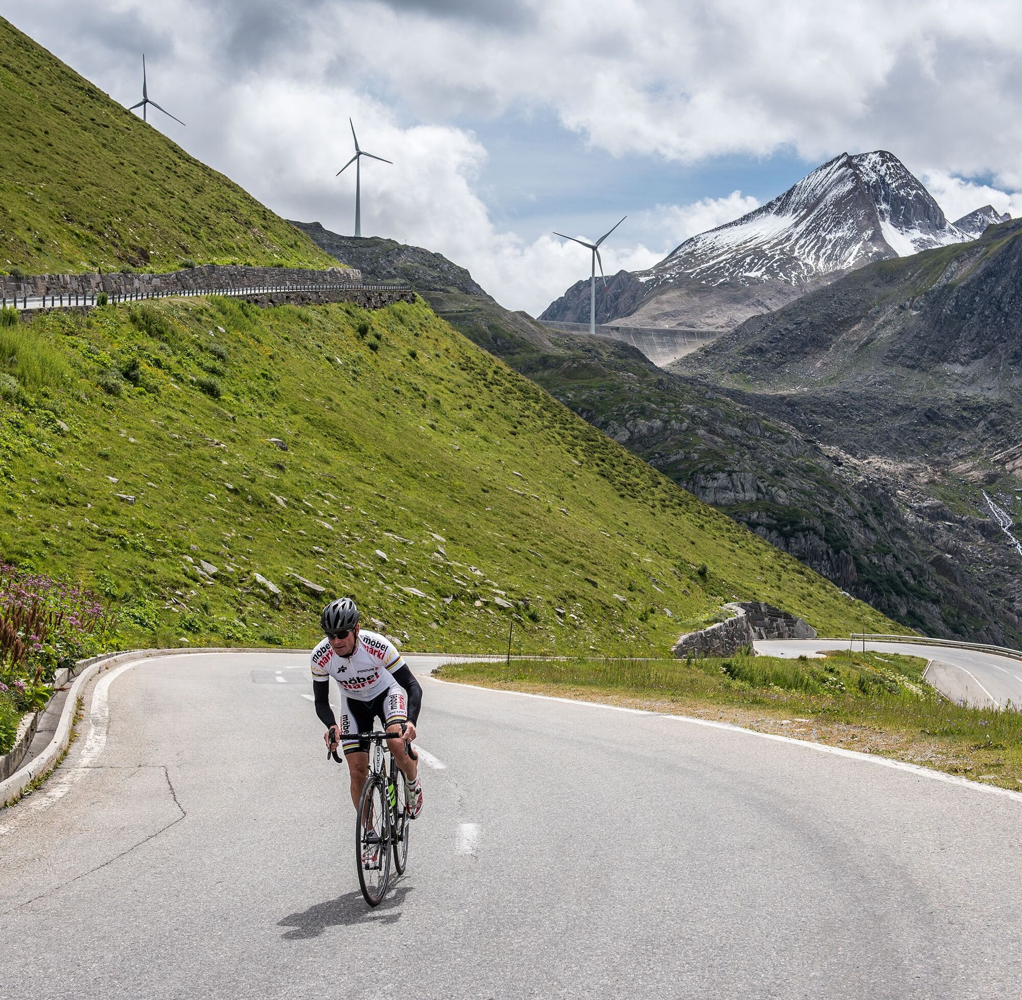
Sube a tu bicicleta de carretera y acepta el reto de los 106 kilómetros a través de los puertos de Furka, Nufenen y Gotthard. Bruno Risi, el ex campeón mundial y europeo de ciclismo en pista, medallista de plata olímpico y ganador en serie de las Seis Días, te acompaña en su recorrido. Vive una ruta que supone un verdadero desafío en resistencia y experiencia.
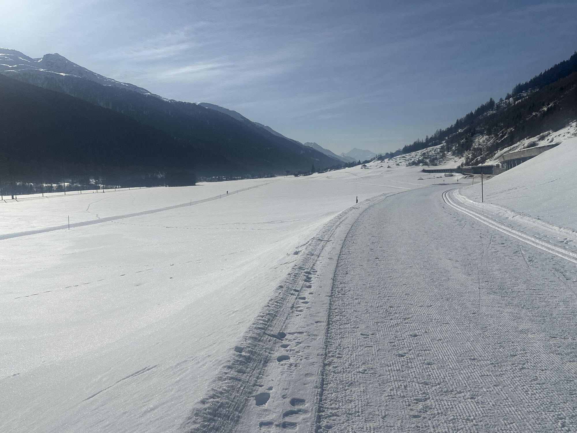
Las travesías por pasos tienen una antigua tradición
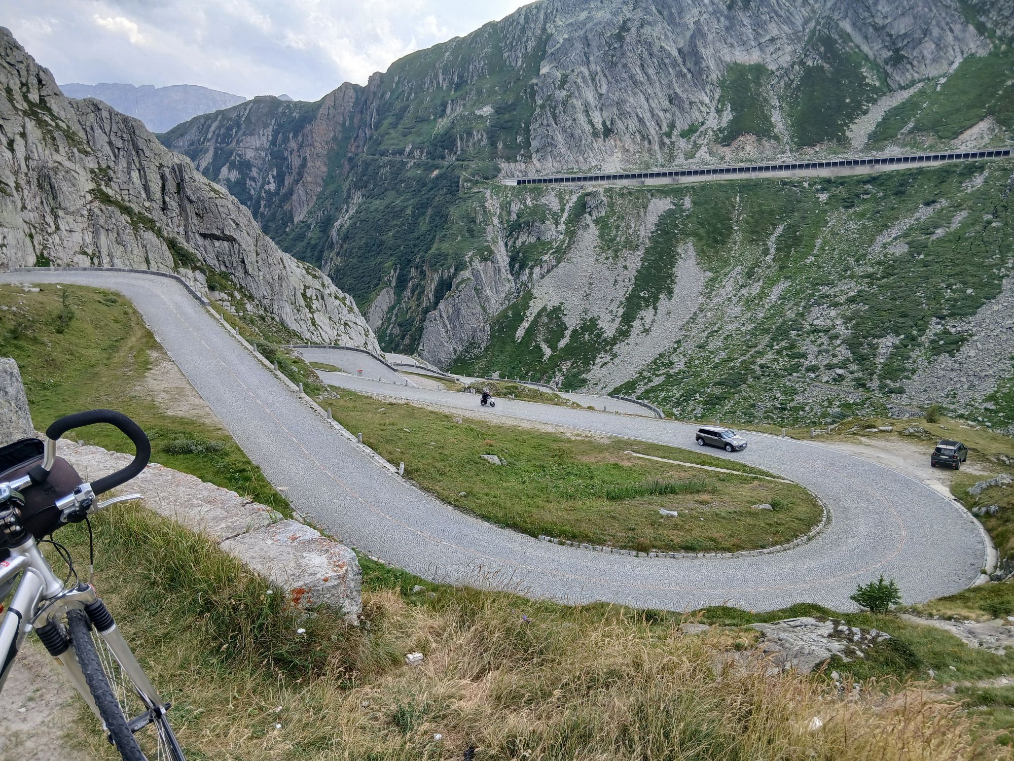
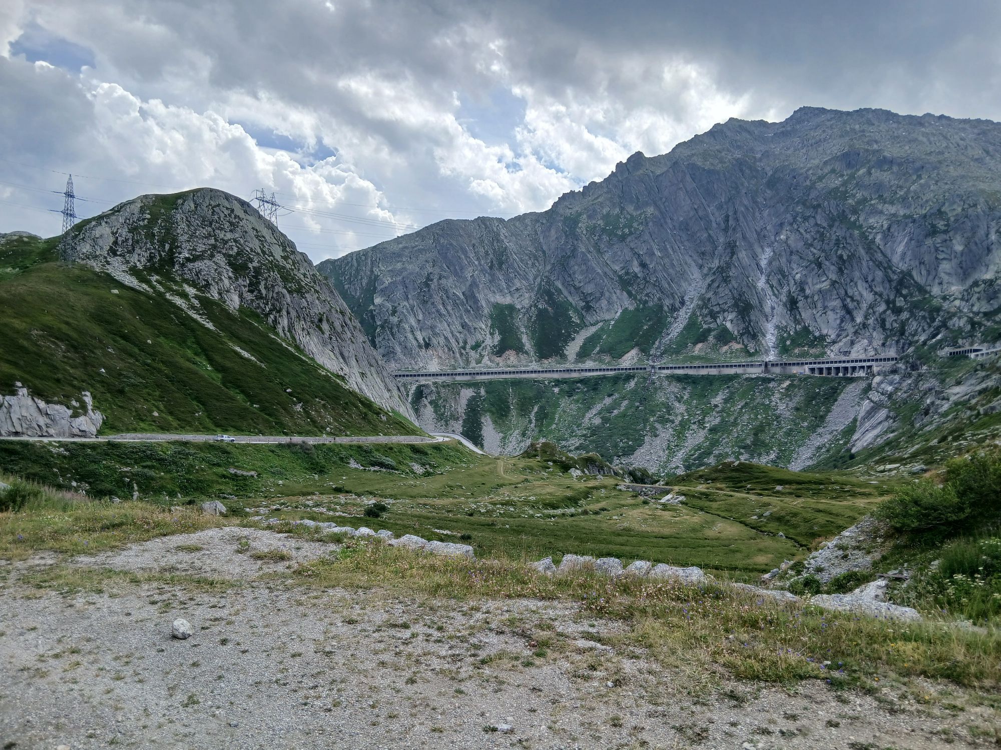
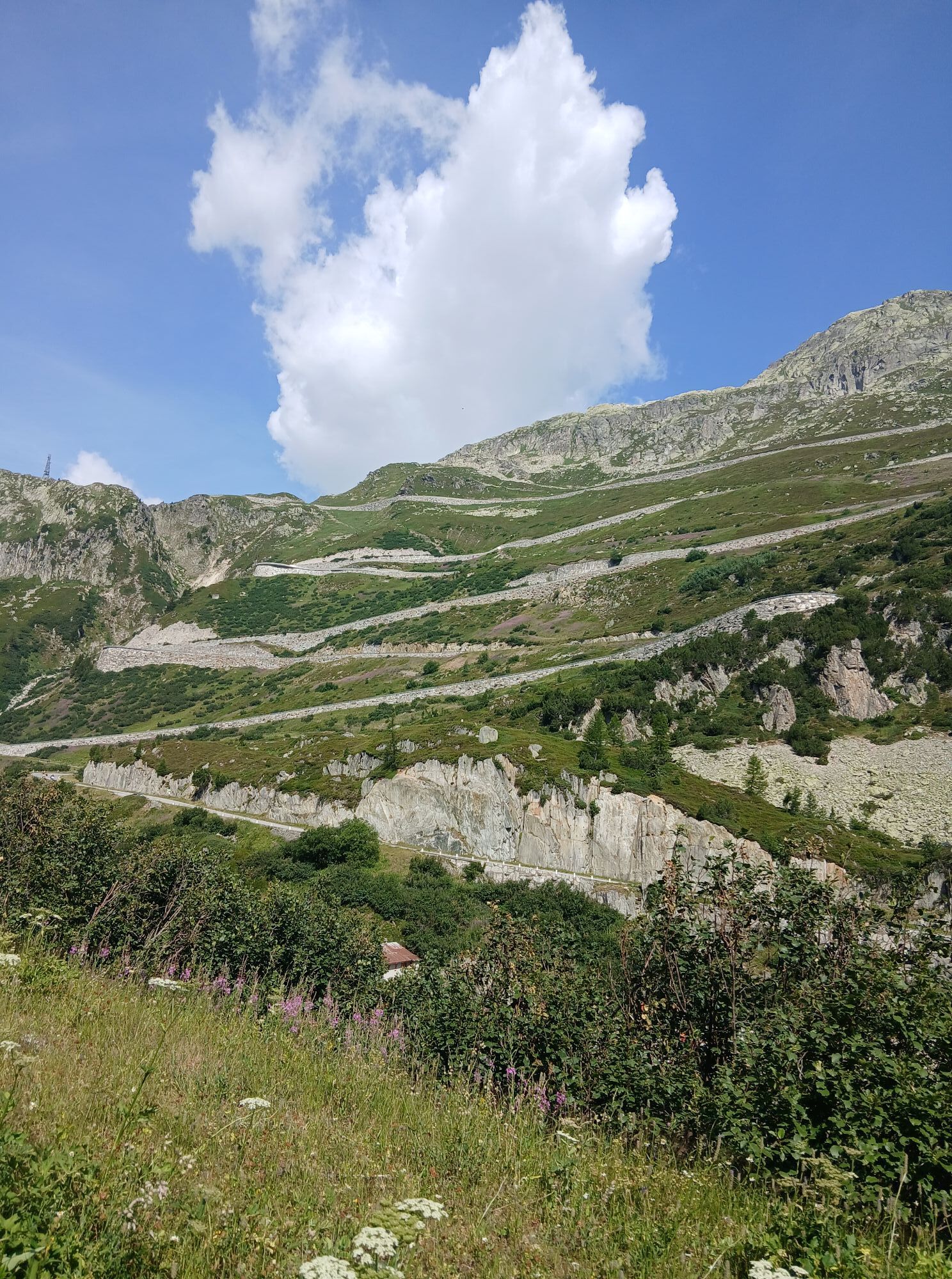
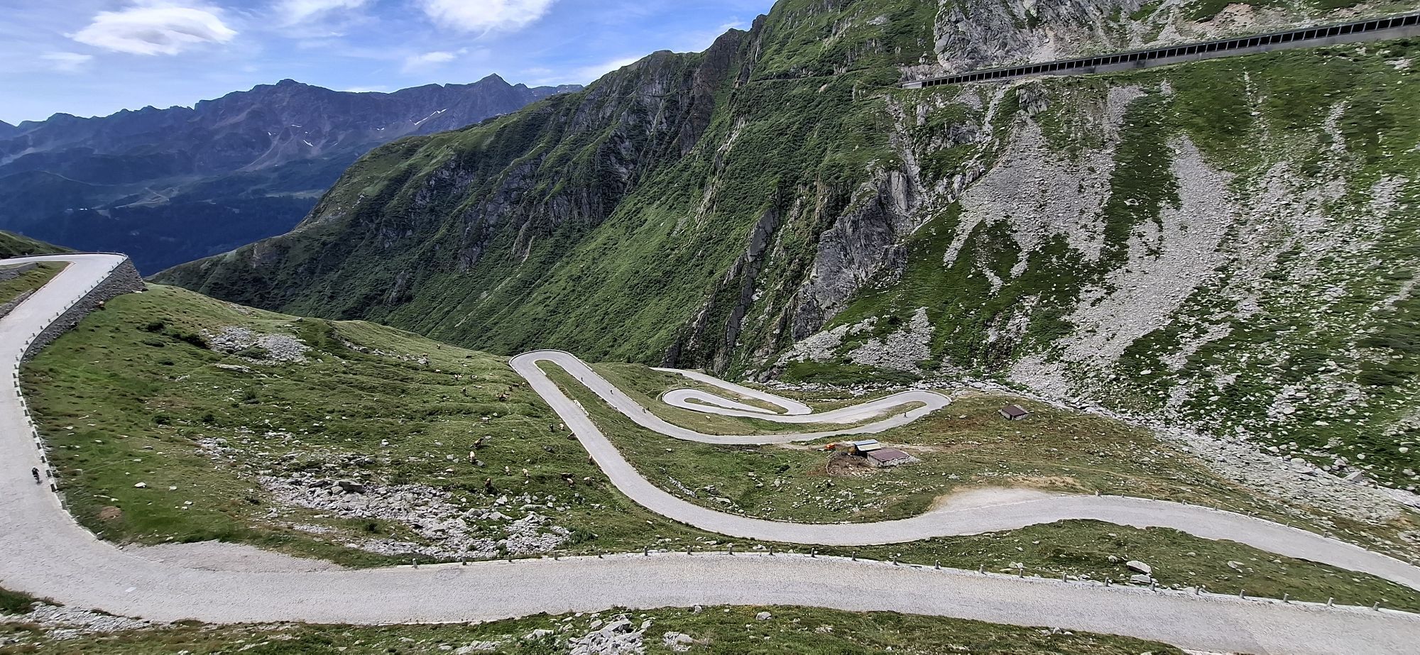
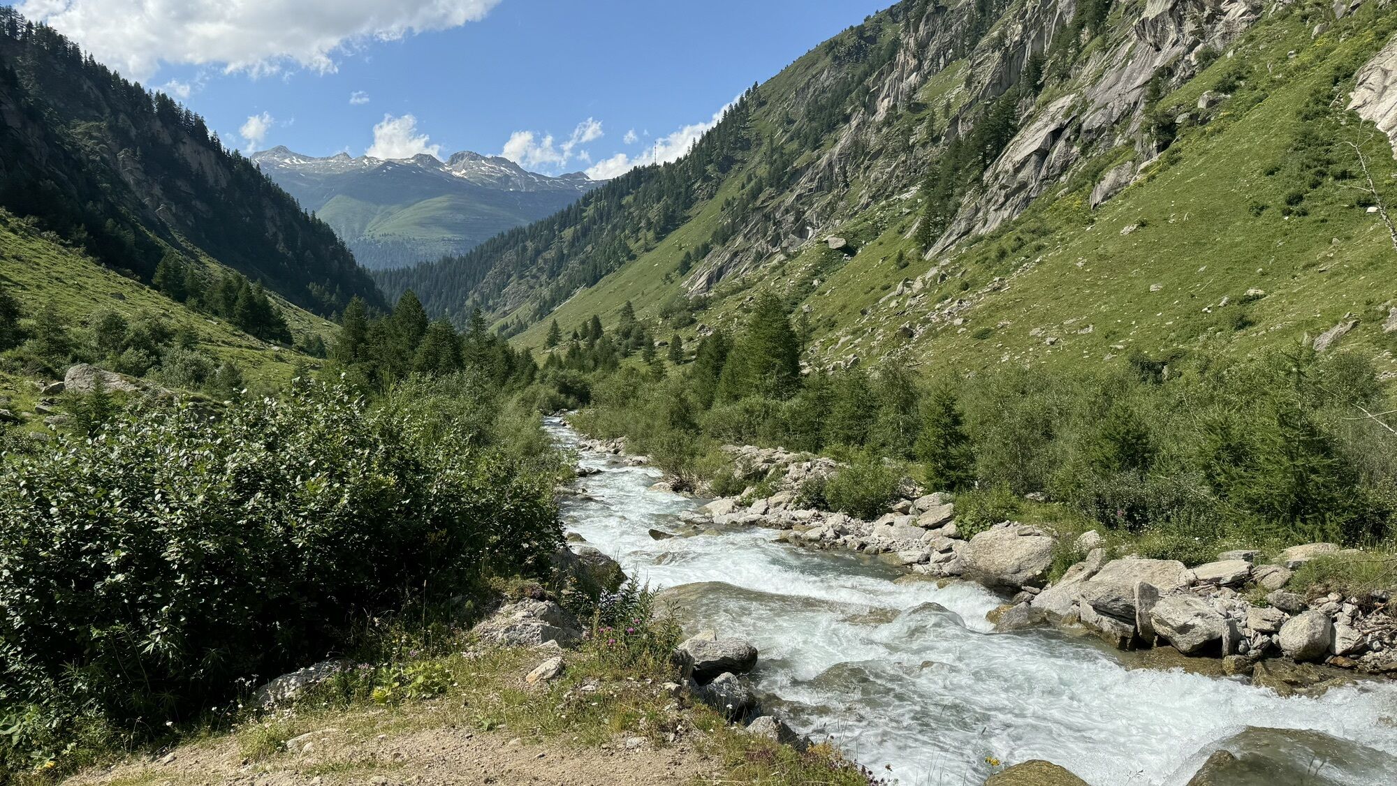
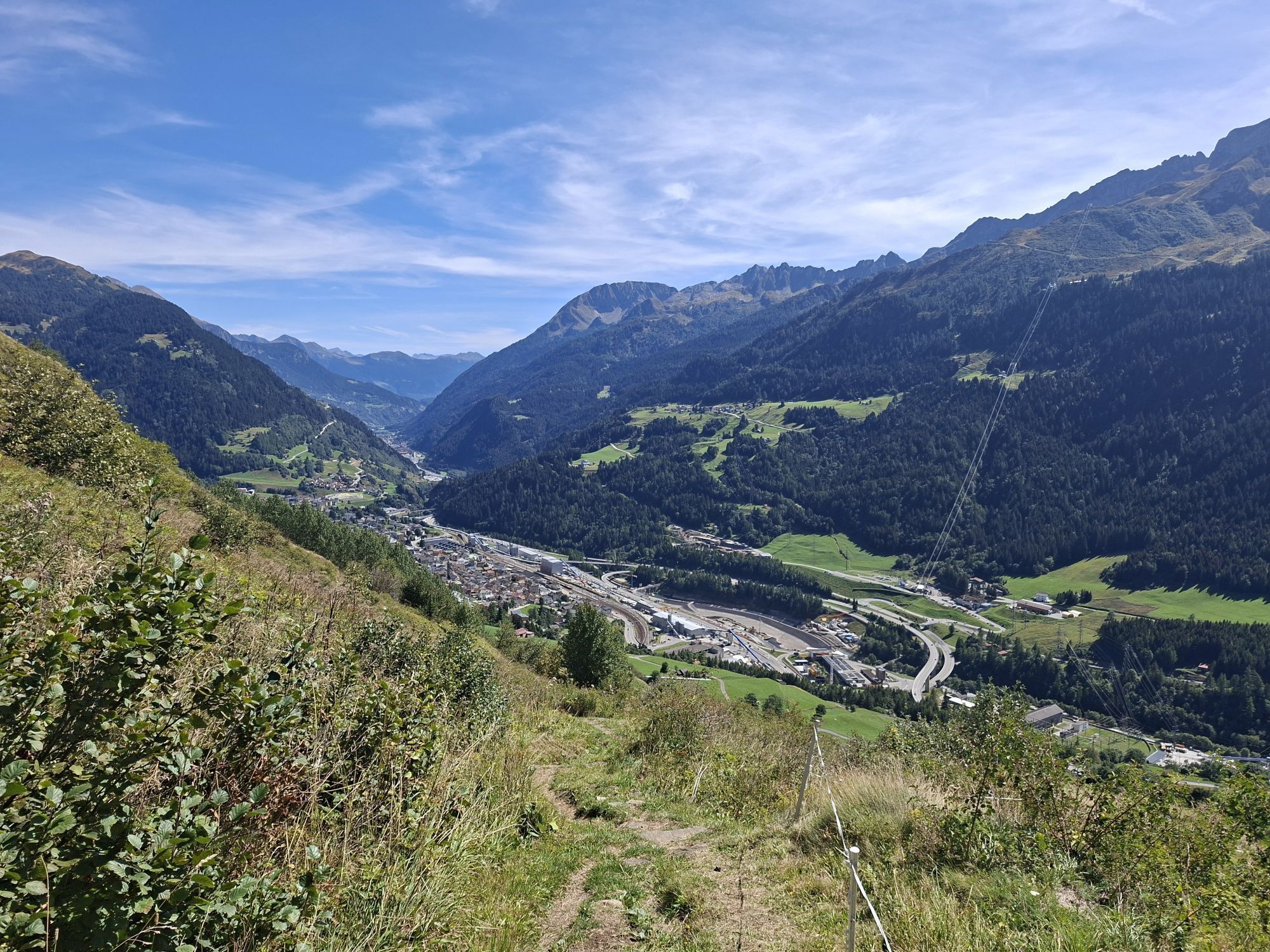
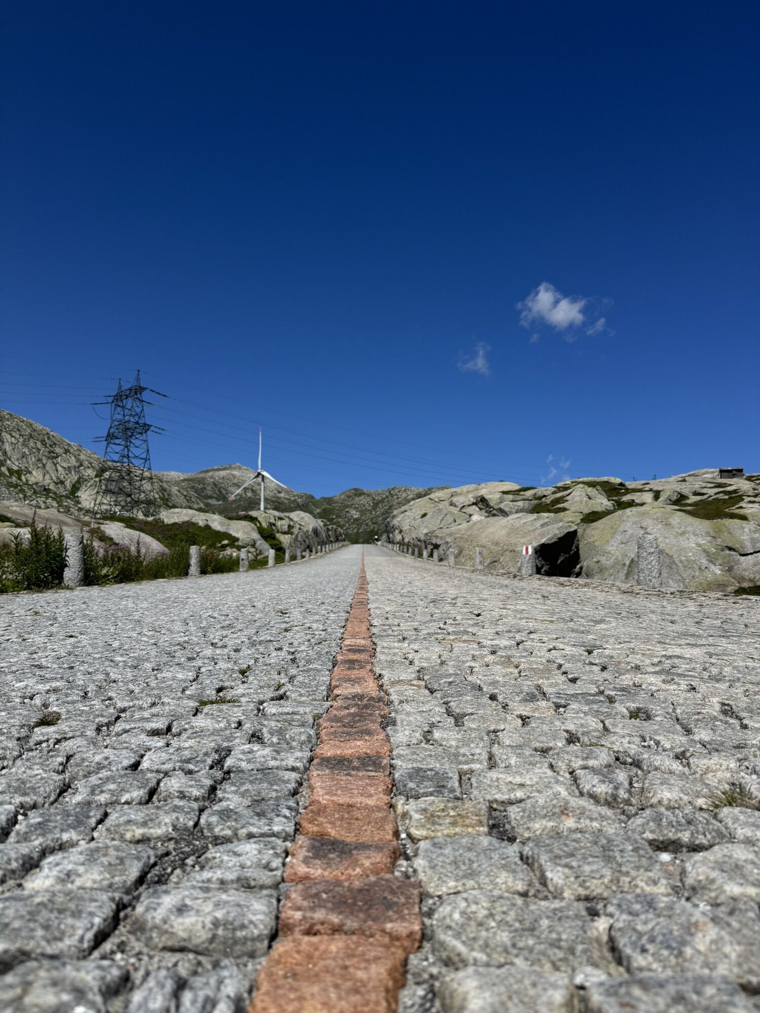
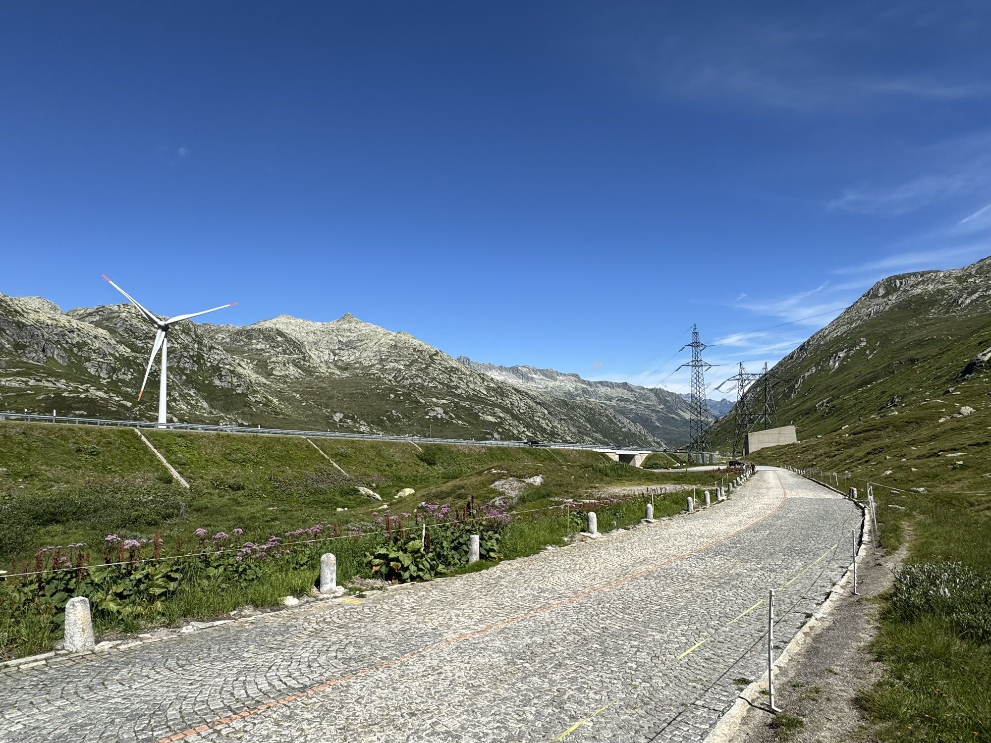
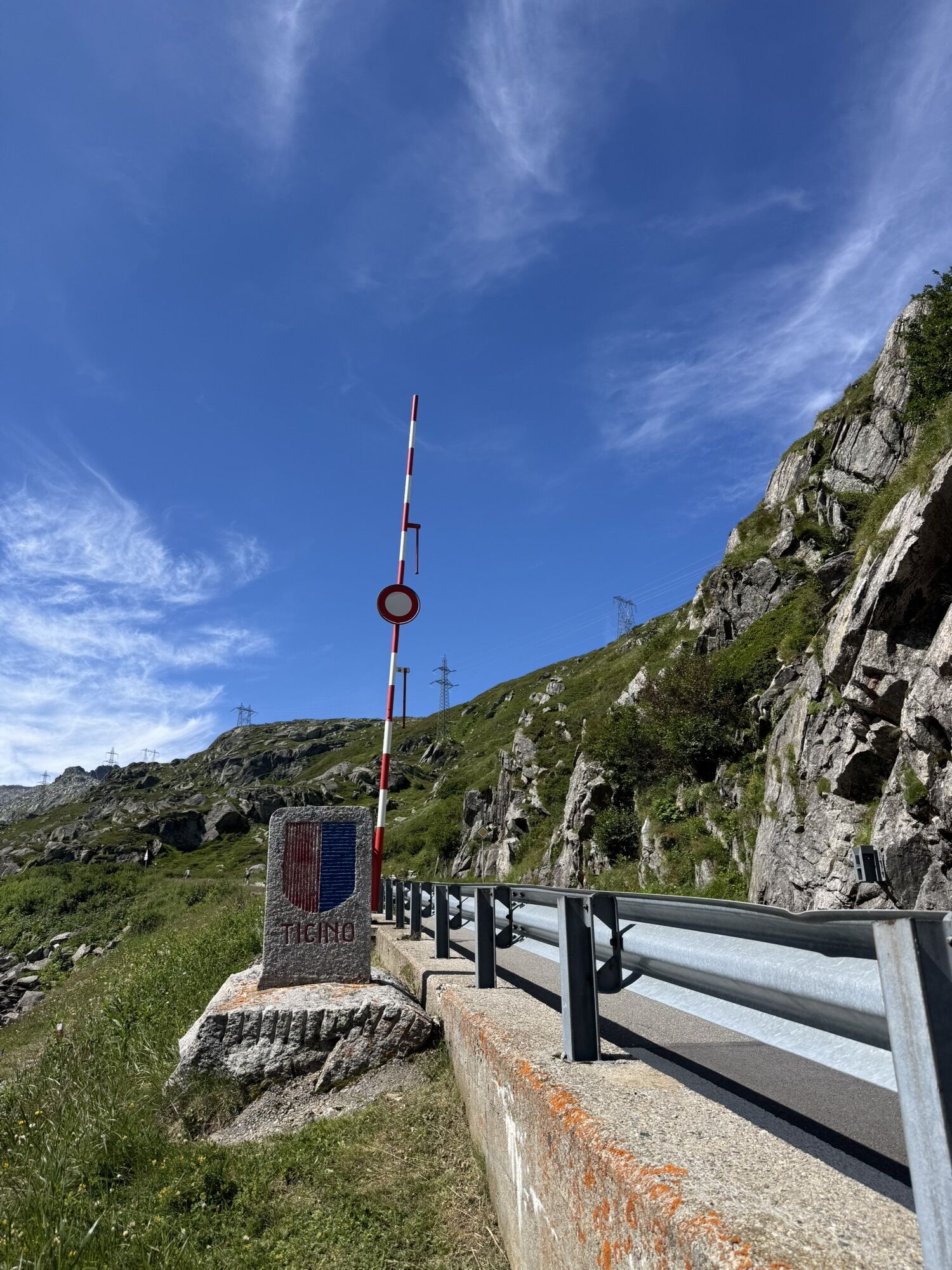
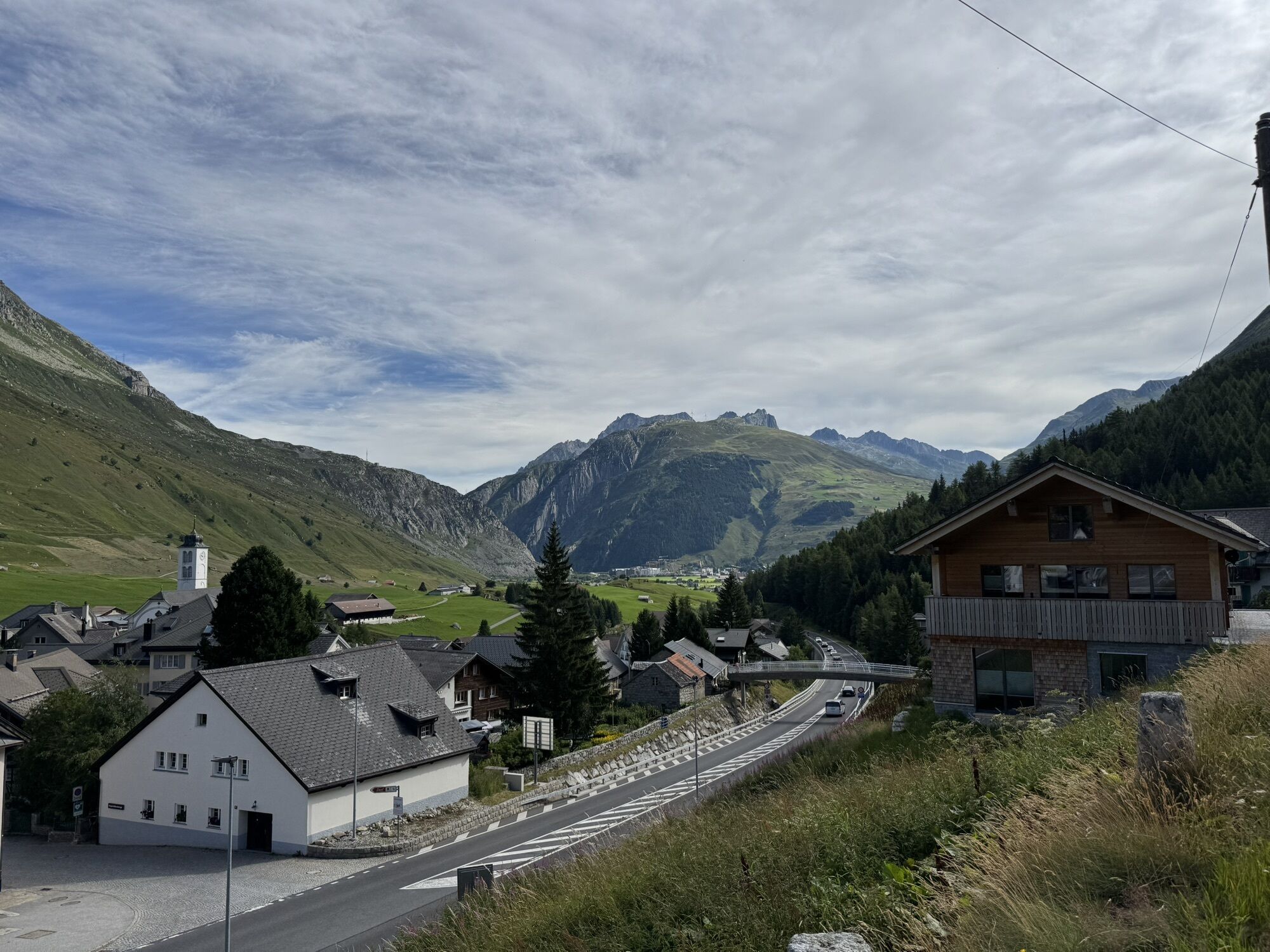
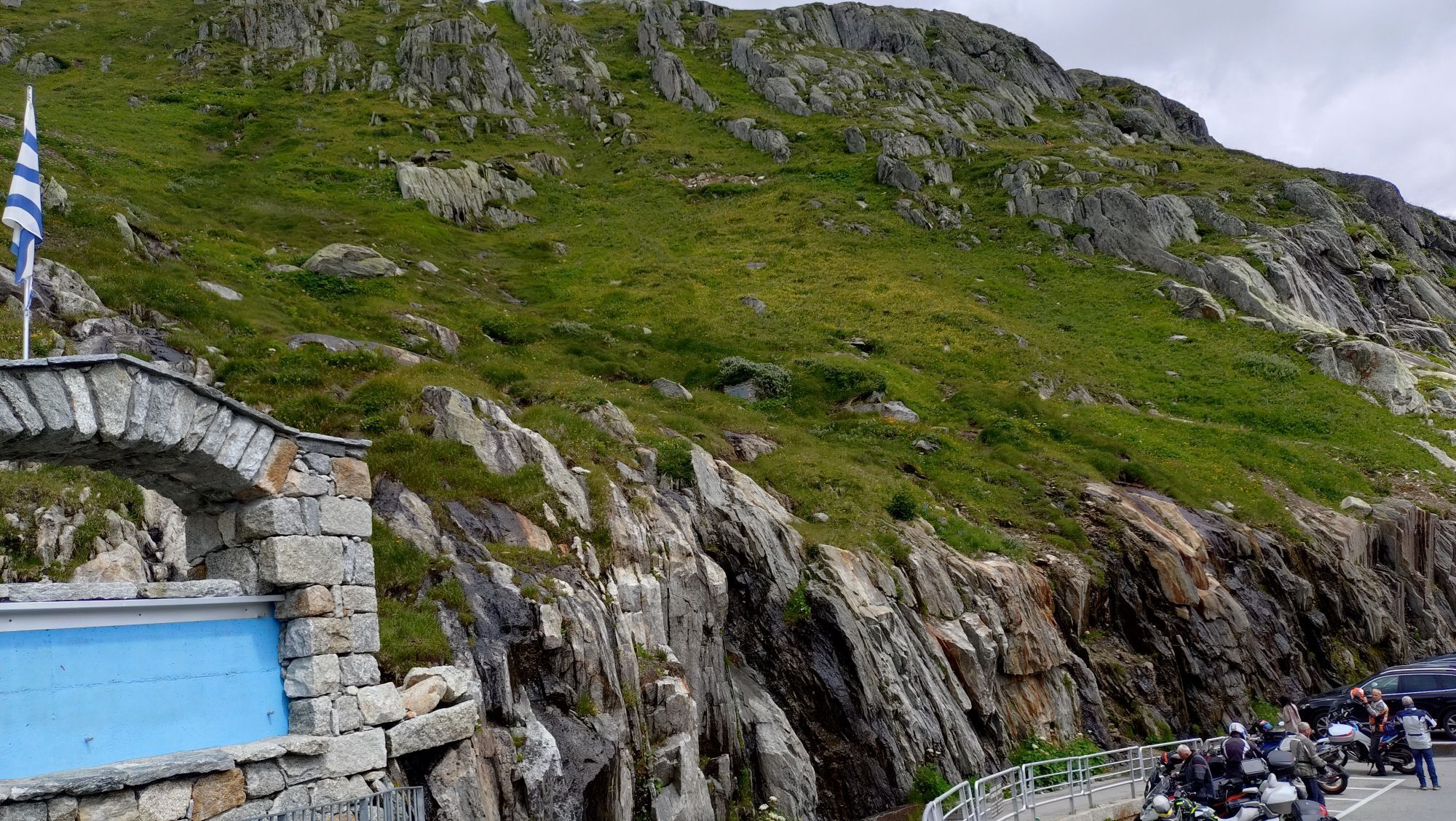
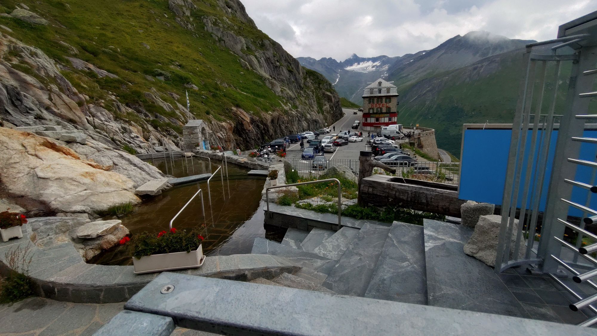
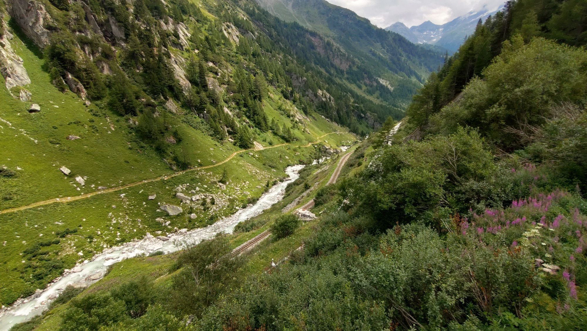
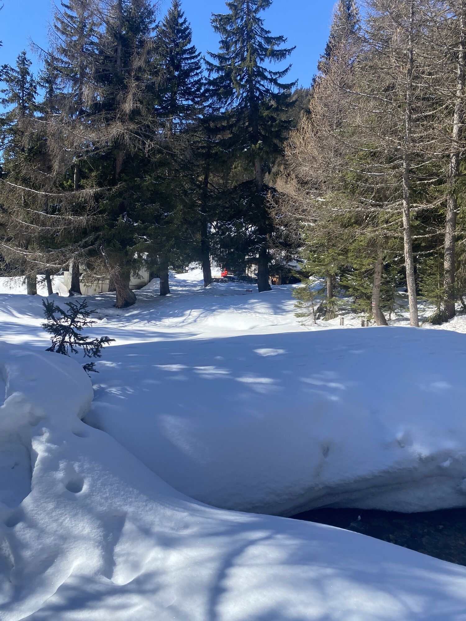
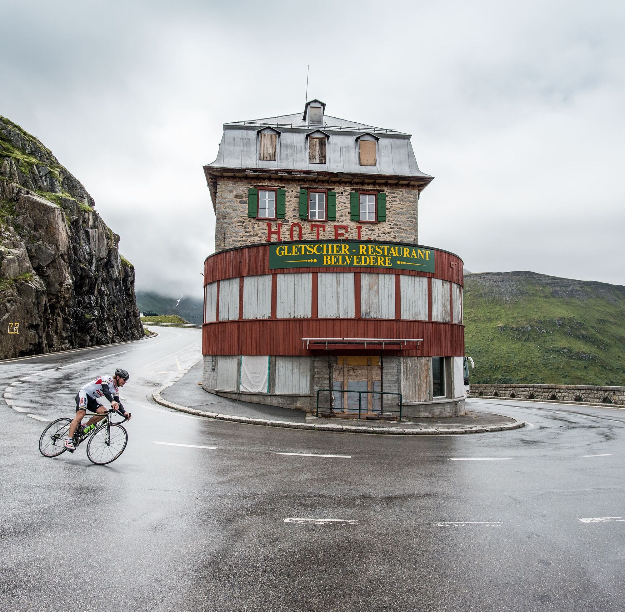
El macizo de Gotthard es una de las zonas históricamente más significativas de Suiza y desde temprano conectó el norte con el sur de Europa. El cruce alpino por el paso de Gotthard fue una de las rutas comerciales más importantes y hasta principios del siglo XIX era transitable por un simple sendero de arrieros. Hacia 1830 se construyó la legendaria Tremola, una obra maestra arquitectónica que aún impresiona.

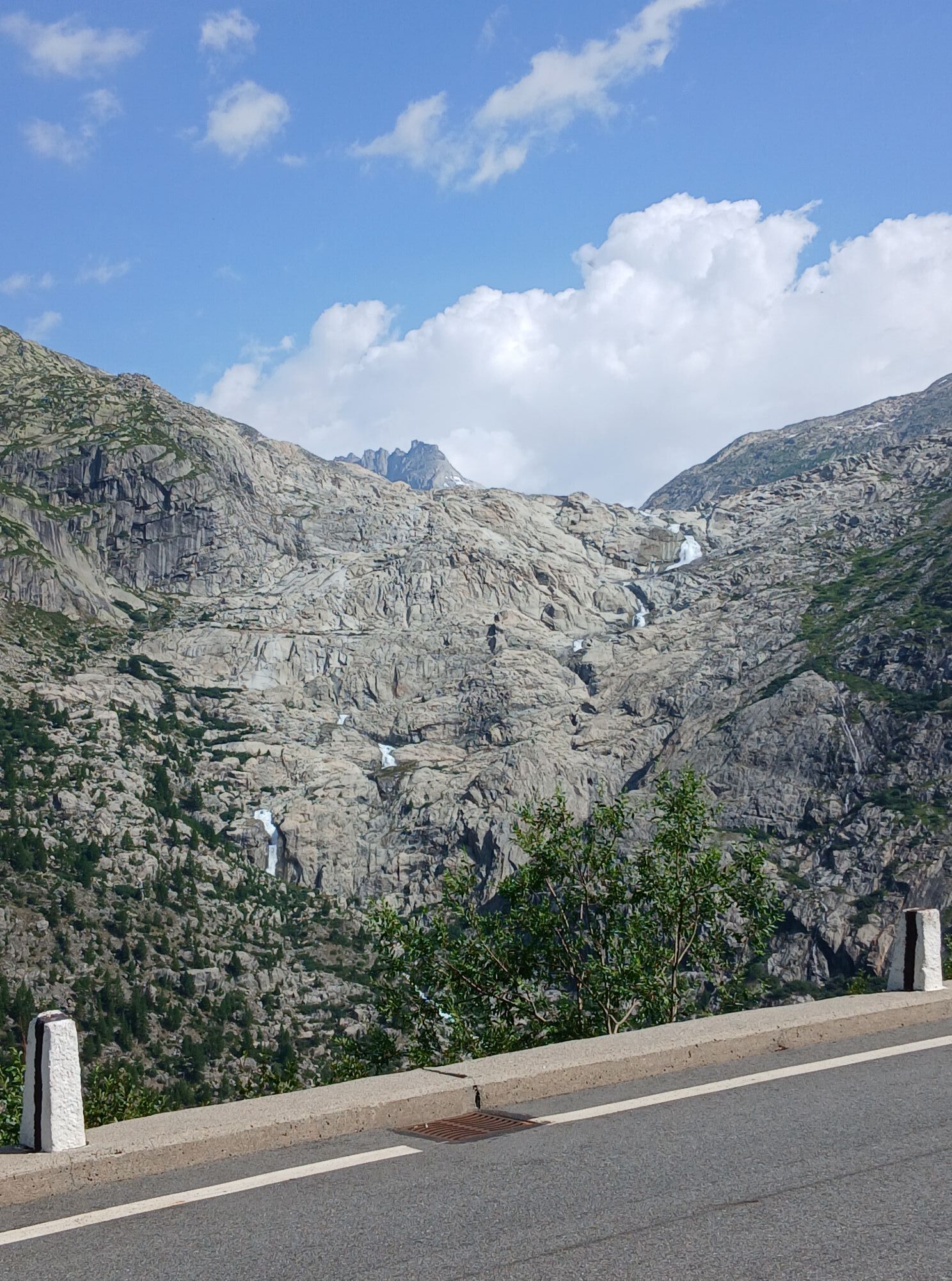
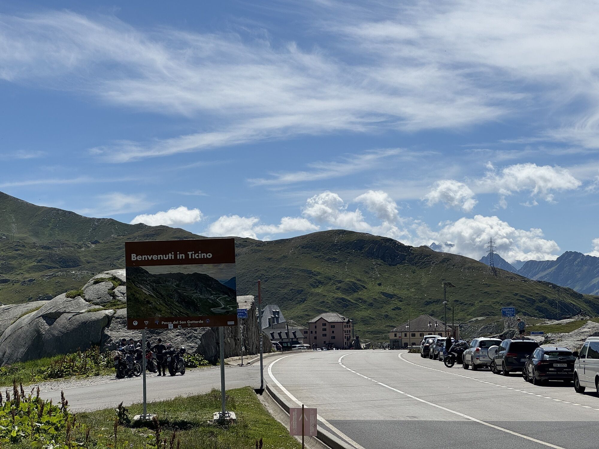
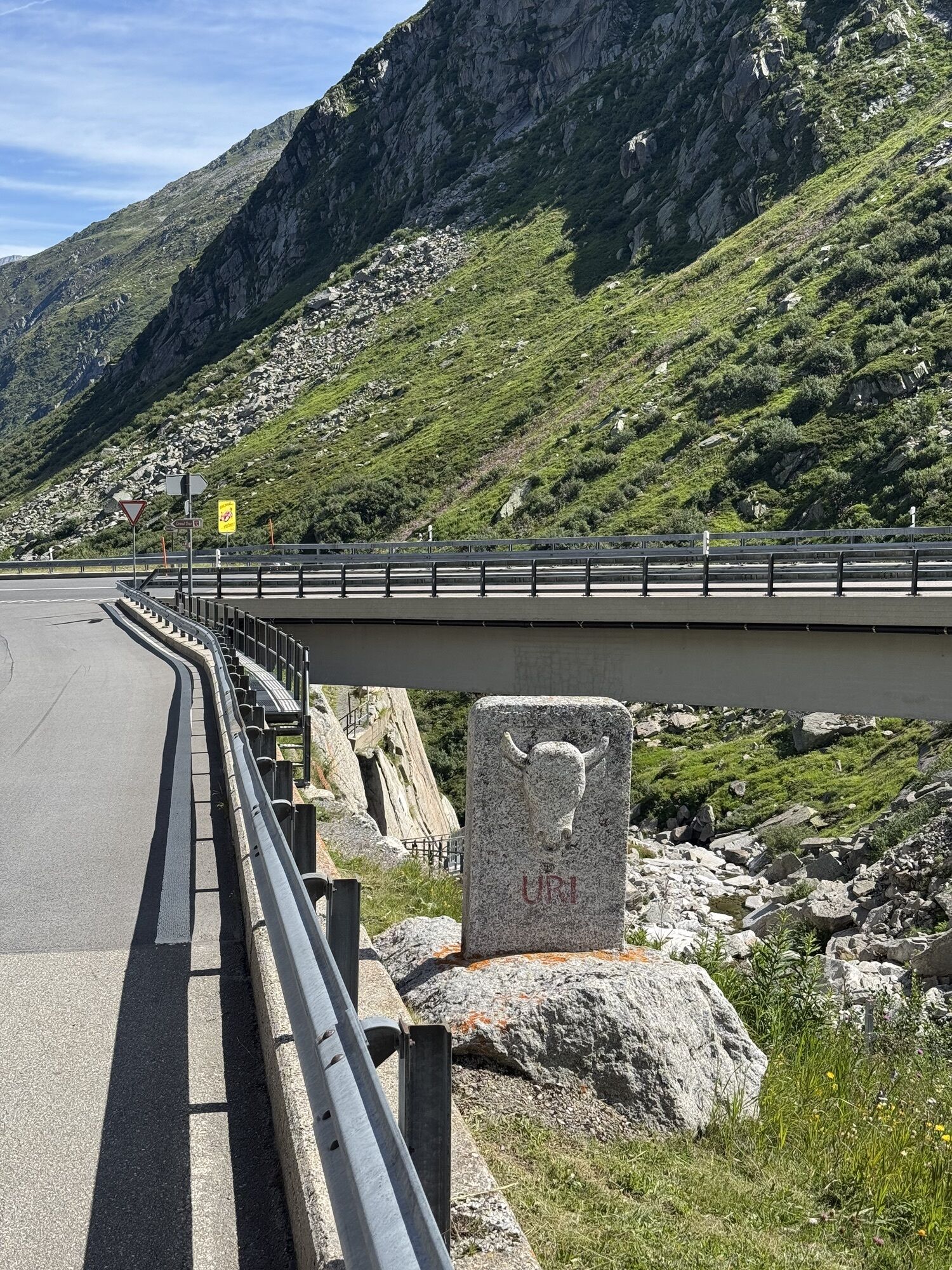
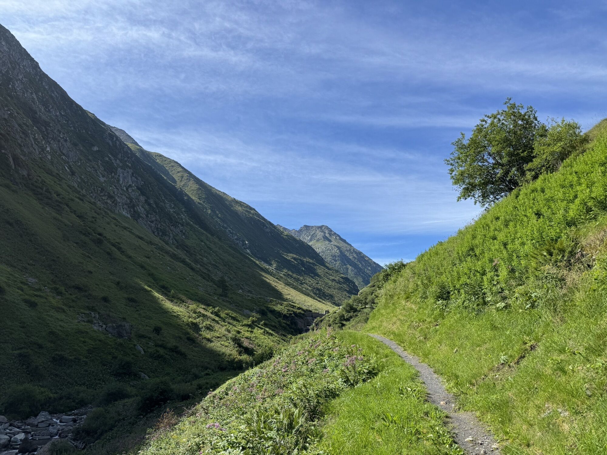
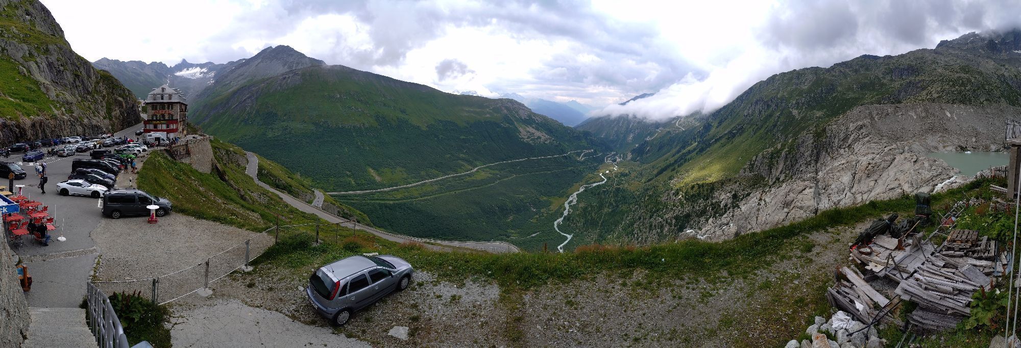
Hospenthal - Realp - Furka - Gletsch - Ulrichen - Nufenen - Airolo - Gotthard - Hospenthal
3
Webcams del recorrido
-
Pesciüm
-
Gurtnellen-Wiler
-
Bäzberg Andermatt
-
Sasso della Boggia
-
Airolo San Gottardo
-
Hungerberg - Restaurant Gommerblick
-
Obergesteln
-
Ulrichen VS / Hotel Astoria
-
Gemsstock - Andermatt
-
Urserental - Golfplatz
-
Obergoms/Oberwald
-
Andermatt
-
Nordisches Zentrum Goms
-
Pesciüm
-
Canalone
-
Mittelstation Gurschen
-
Mittelstation Nätschen
-
Münster Landhaus Goms
-
Hotel Grimselpass
-
Realp / Autoverlad Furka
-
Grimselsee - Grimsel Hospiz
-
Göschenen - Schöllenen
-
Albert-Heim-Hütte SAC
-
Albert-Heim-Hütte SAC
-
Obergesteln - Source du Rhône
-
Goms - Obergesteln
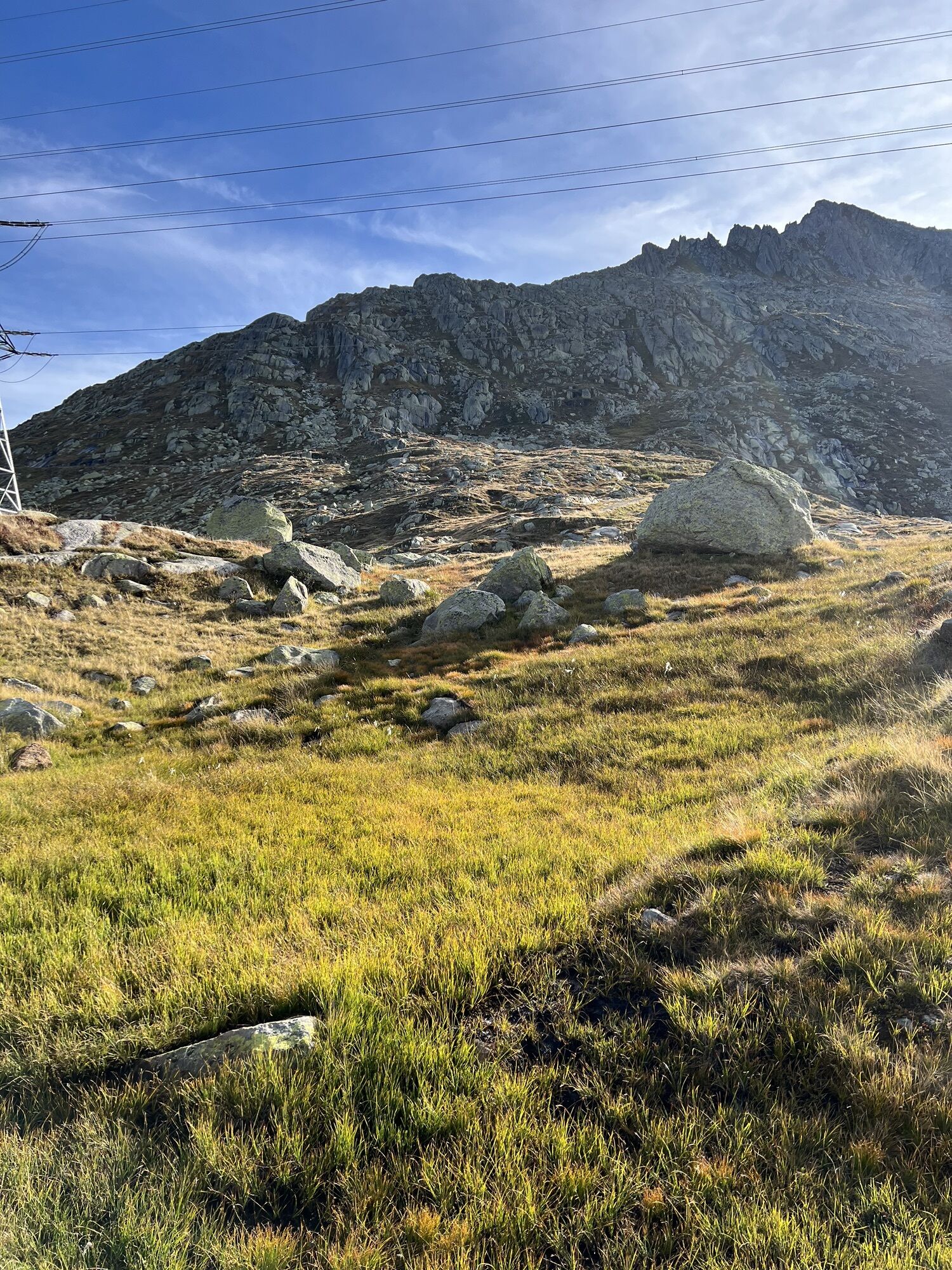
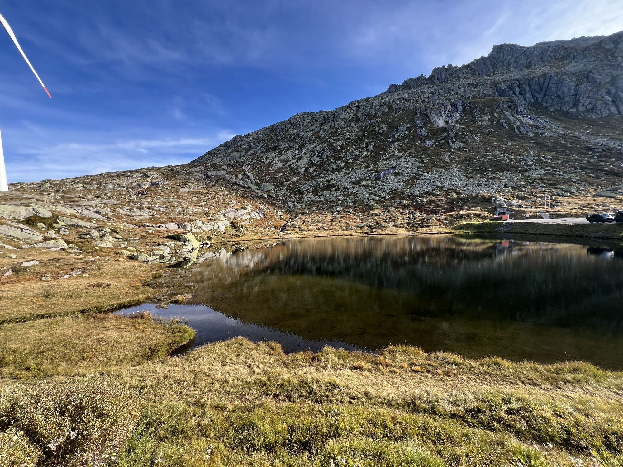
Rutas populares en los alrededores
-
4,4
Circuito de los lagos Orsino, Orsirora y Valletta
Senderismo 12,8 km -
5,0
Ruta circular desde paso Grimsel - Sidelhorn vía lago Jostsee
medioSenderismo 8,47 km -
5,0
Sendero de los 9 Lagos
pesadoSenderismo 17,3 km -
Paso de Furka – glaciar del Ródano
luzSenderismo 3,59 km -
5,0
Gelmersee-Tour
luzSenderismo 9,03 km -
4,8
Ciaspolata al Rifugio Maria Luisa
medioRaquetas de nieve 11,2 km -
5,0
Um den Gelmersee zur Gelmerhütte
medioSenderismo 9,30 km -
4,0
Capanna Piansecco
luzRaquetas de nieve 7,26 km -
von Albert-Heim-Hütte via Nepali Highway und Sidelenhütte nach Furkapass
pesadoSendero de largo recorrido 8,40 km -
Sendero Glaciológico
medioSenderismo 8,18 km
Senderismo y rastreo


No se pierda las ofertas y la inspiración para sus próximas vacaciones
Su dirección de correo electrónico se ha añadido a la lista de correo.