Navegue por
Consigue este tour en tu móvil
Mapa
Heart Route - Section 8 Einsiedeln-Rapperswil - SwitzerlandMobility Route 99
medio
Ciclismo
50,14 km
Escanee el código QR e inicie la navegación en la aplicación bergfex
QR Code
Senderismo y rastreo

Heart Route - Section 8 Einsiedeln-Rapperswil - SwitzerlandMobility Route 99
Distancia
50,1 km
Duración
03:50 h
Ascenso
508 m
Nivel del mar
406 - 945 m
Descarga de pistas
Mapa
Heart Route - Section 8 Einsiedeln-Rapperswil - SwitzerlandMobility Route 99
medio
Ciclismo
50,14 km

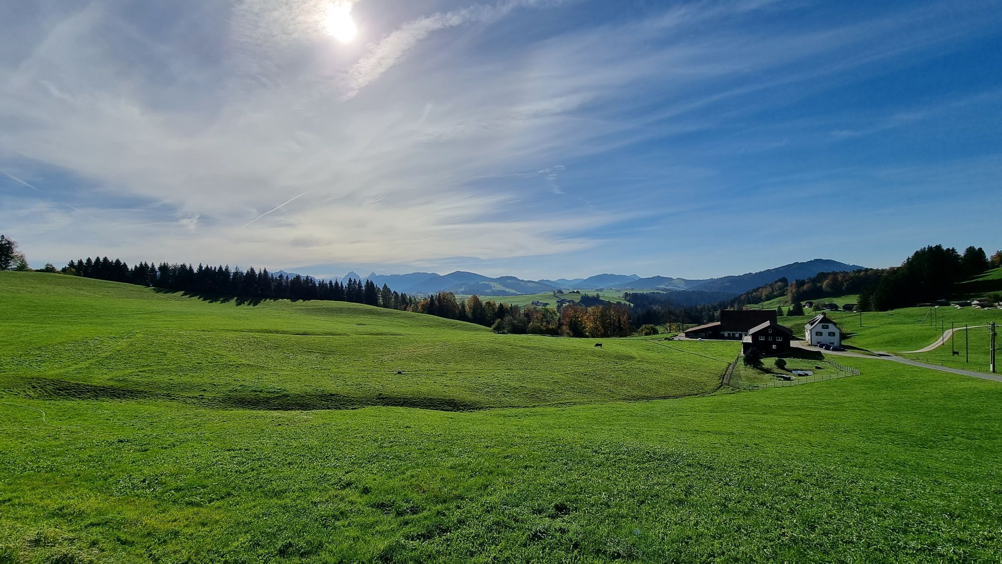
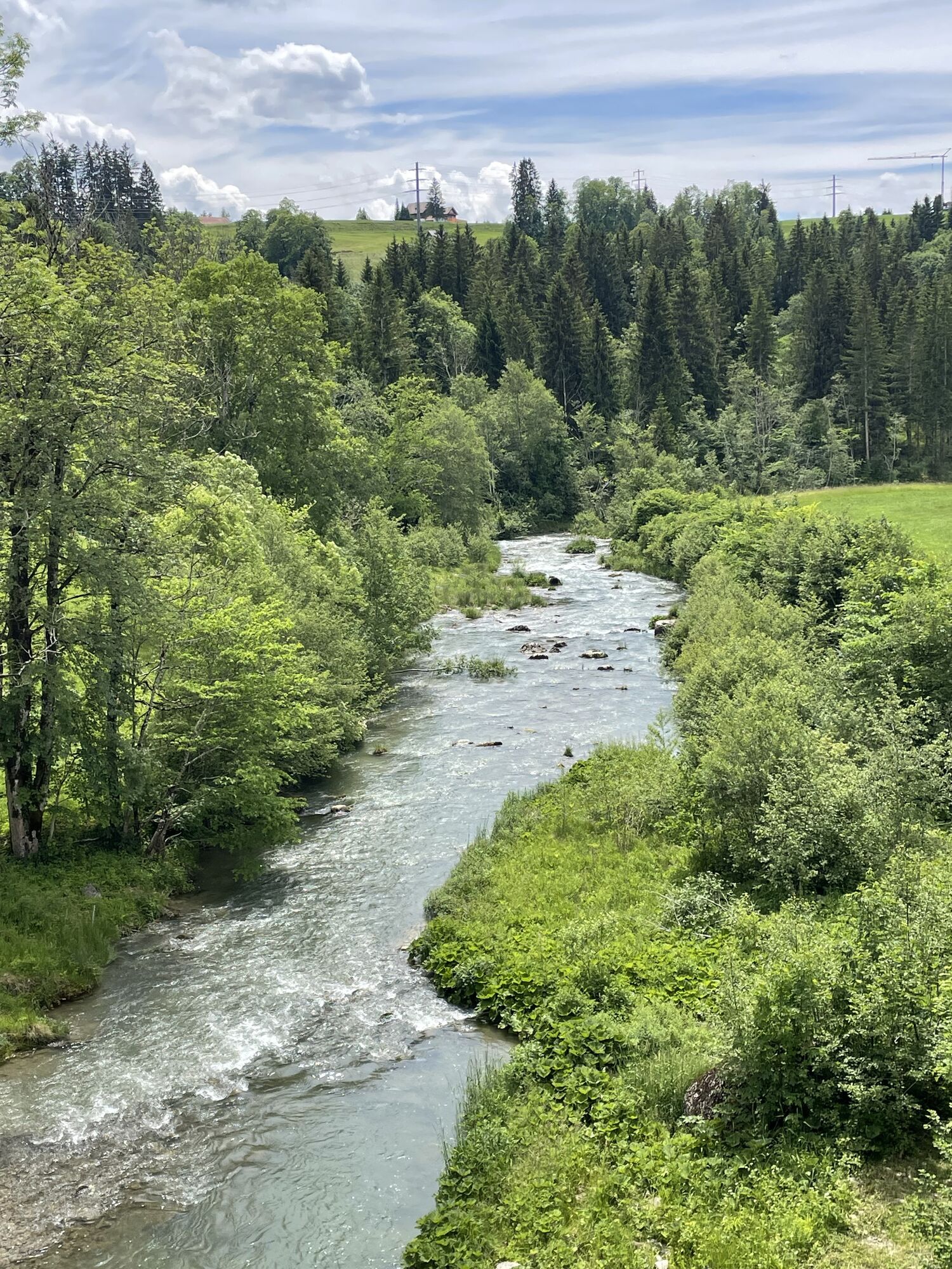
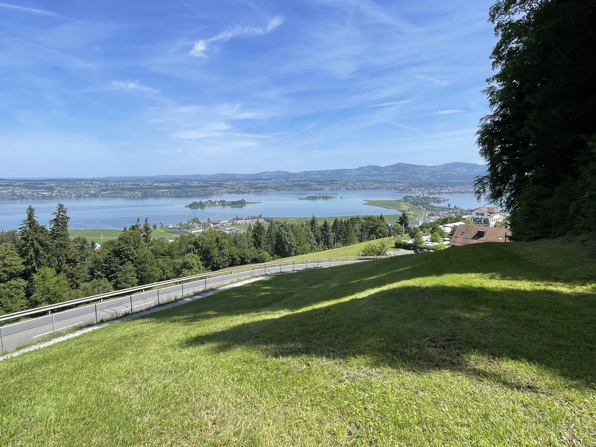
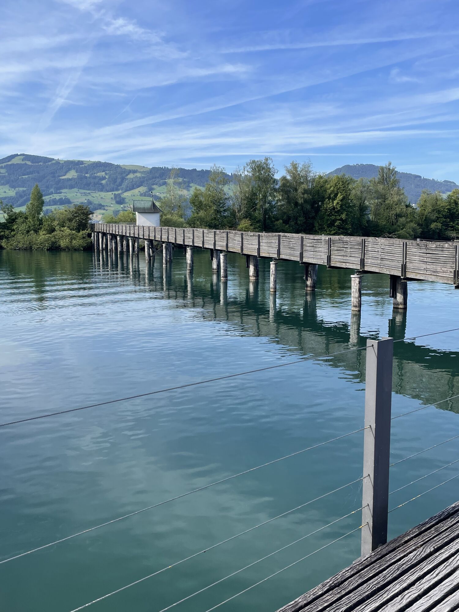
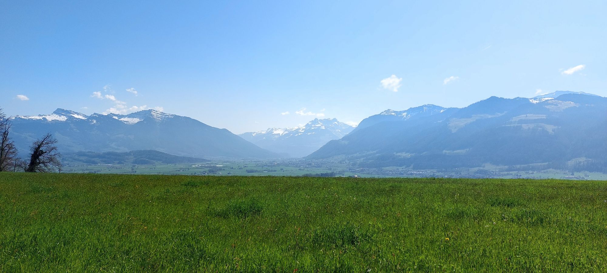
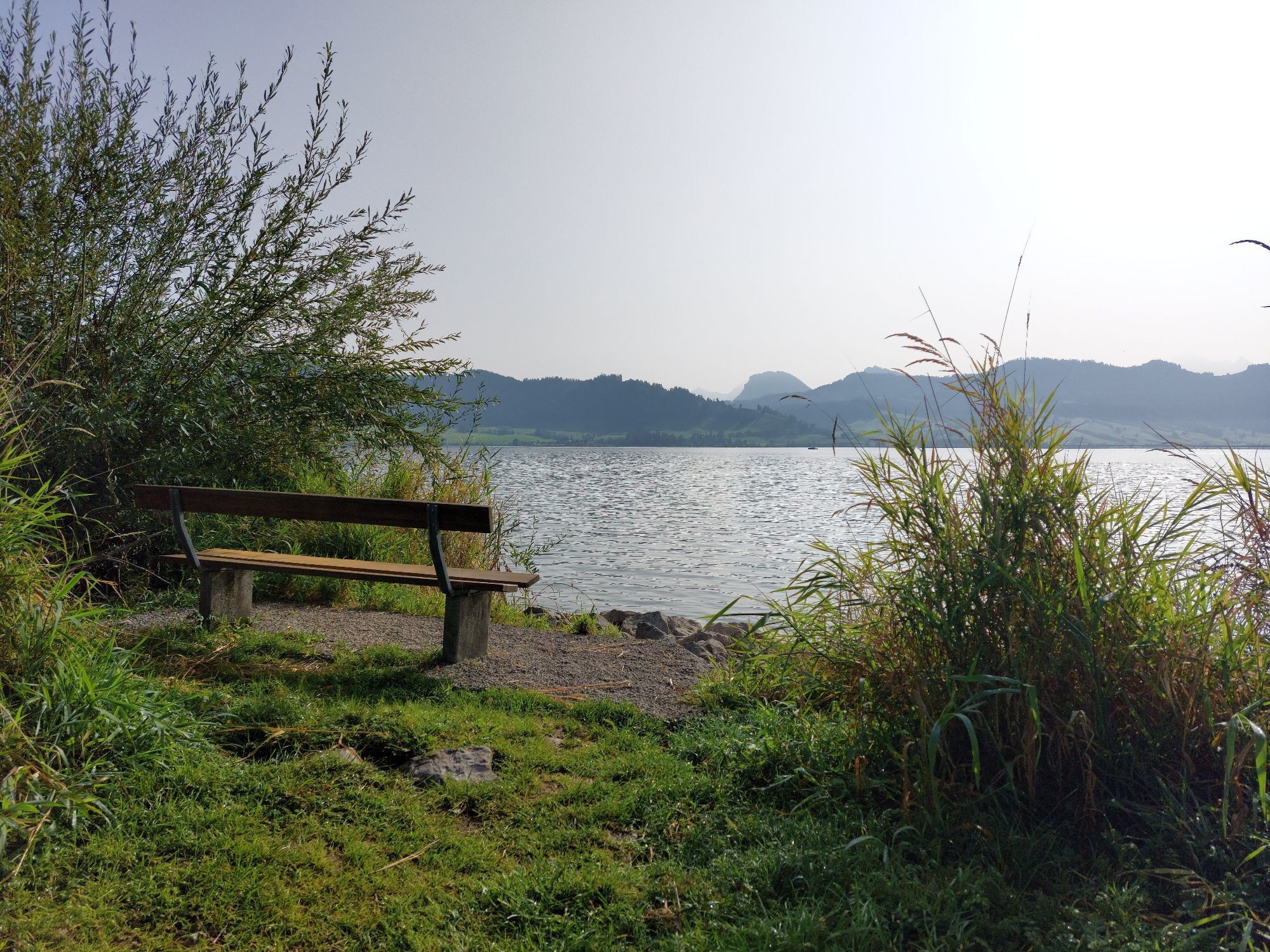
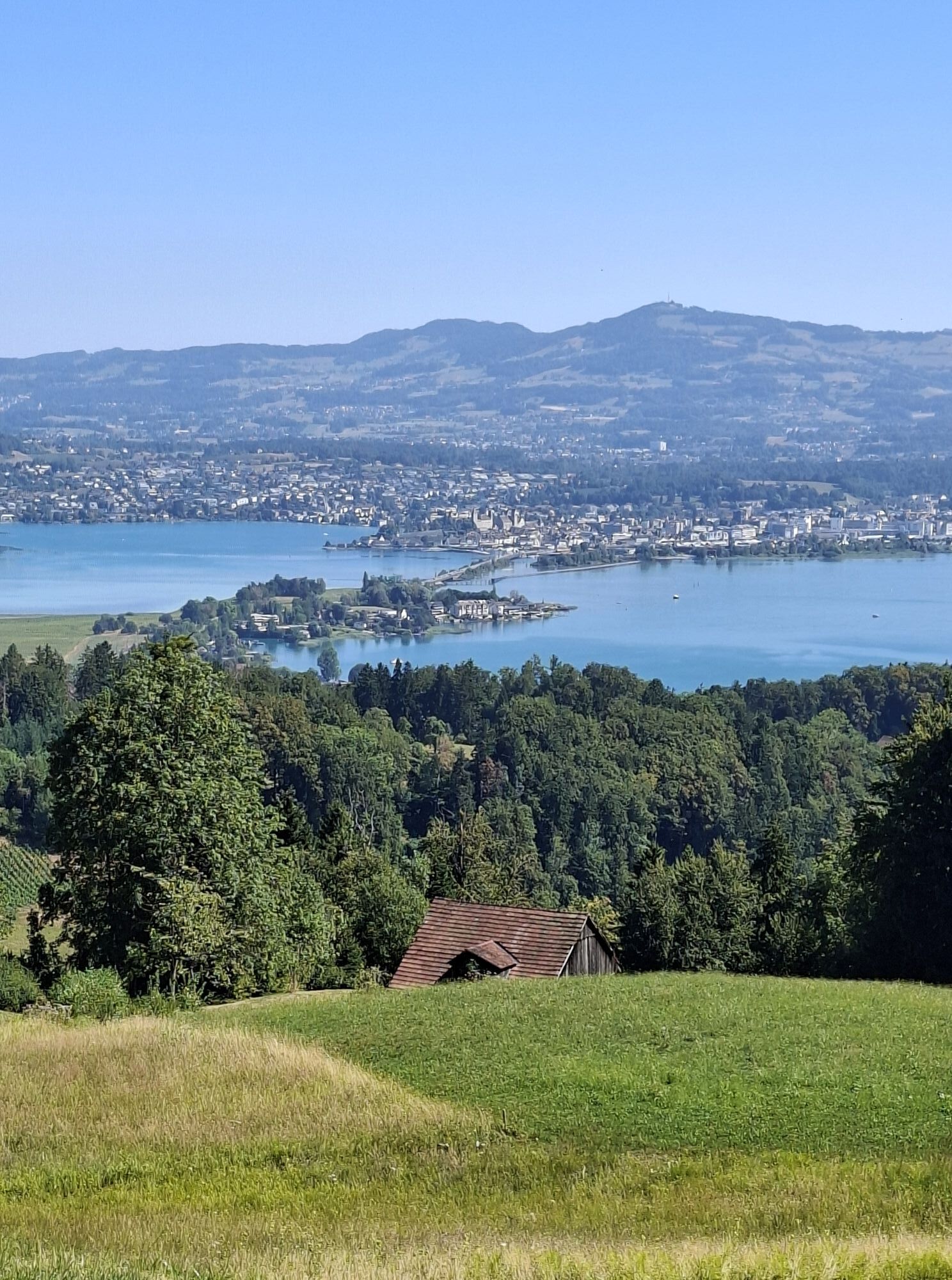
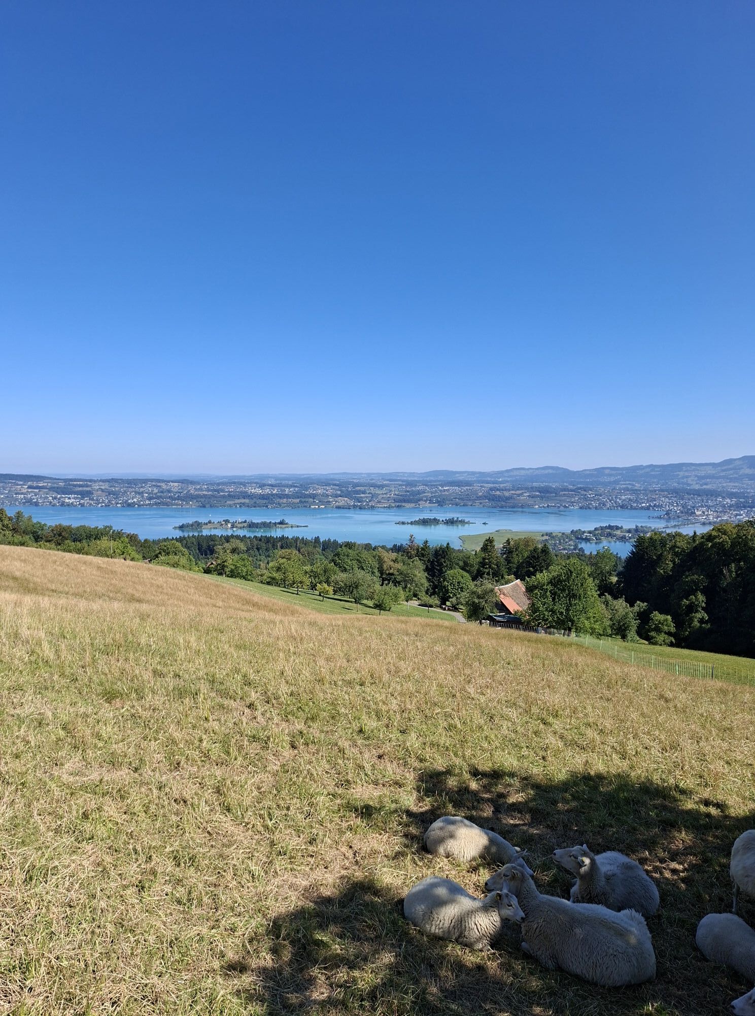
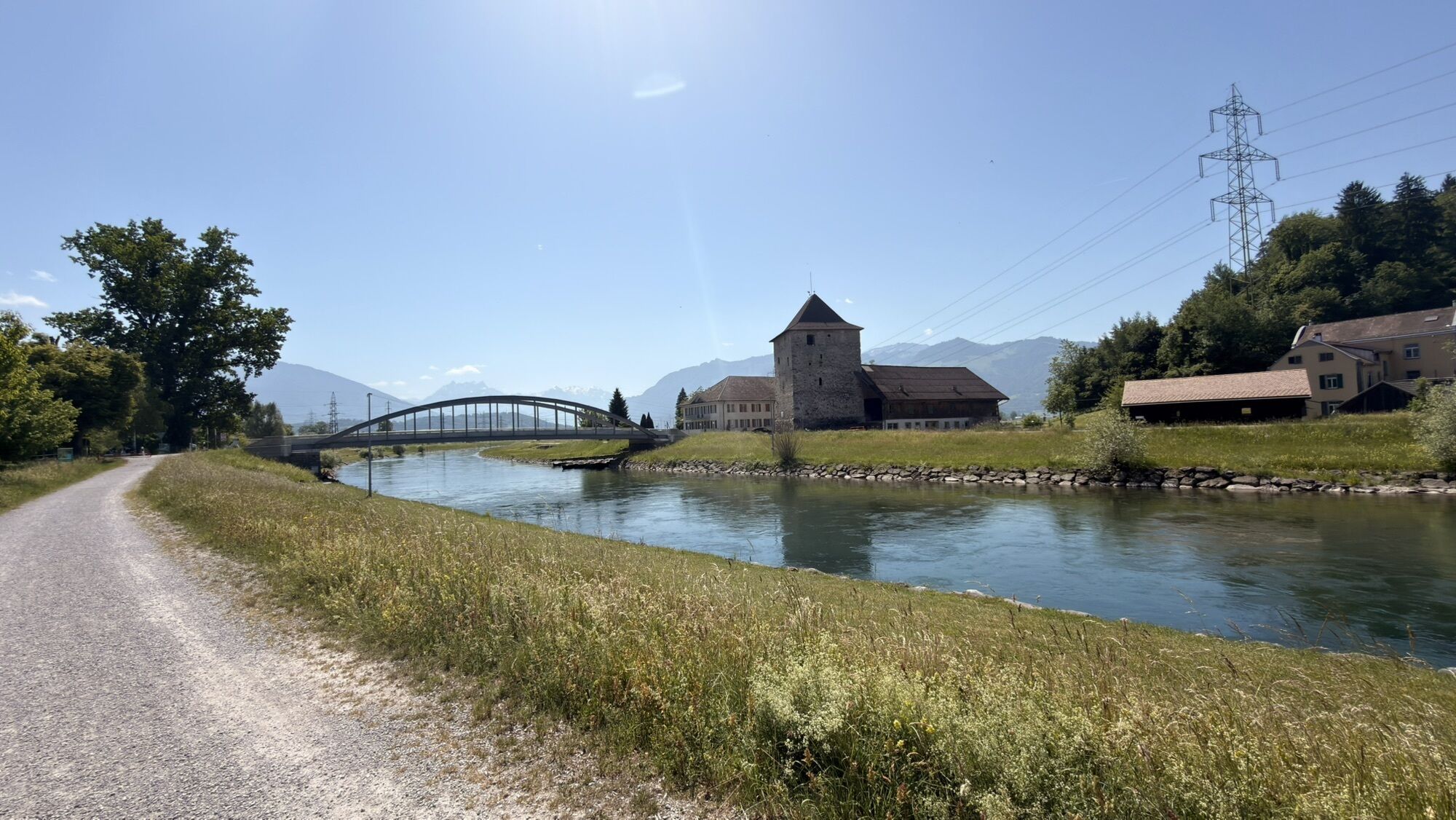
From the highlight of Einsiedeln, the route follows the north shore of Lake Sihl. After the steep climb to the highest point of the Heart Route and a fast descent to Lake Zurich, you reach the tranquillity...

Descripción de la

From the highlight of Einsiedeln, the route follows the north shore of Lake Sihl. After the steep climb to the highest point of the Heart Route and a fast descent to Lake Zurich, you reach the tranquillity of the Buechberg forest. Rapperswil welcomes travellers with its southern charm.

Ruta
Bruder Klausen
(890 m)
Lugar de culto
6,6 km
Viertelskirche Johannes der Täufer
(852 m)
Lugar de culto
7,5 km
Kapelle St. Johann
(489 m)
Lugar de culto
19,4 km
Katholische Pfarrkirche Heilig-Kreuz
(408 m)
Lugar de culto
20,7 km
Militärischer Ursprung
(519 m)
Entrada de la cueva
30,8 km
Schmerikon
(415 m)
Pueblo
39,9 km
St. Pankratius
(418 m)
Lugar de culto
43,6 km
Ruta
Mapa
Heart Route - Section 8 Einsiedeln-Rapperswil - SwitzerlandMobility Route 99
medio
Ciclismo
50,14 km
Einsiedeln
(881 m)
Estación de ferrocarril
0,0 km
Foto-Spot Kloster Einsiedeln
(897 m)
Punto de vista
0,5 km
Einsiedeln
(897 m)
Ciudad
0,7 km
St. Gangulf
(909 m)
Lugar de culto
1,0 km
Seglerbeizli
(890 m)
Restaurante
2,5 km
Staumauer
(889 m)
Embarcadero
5,0 km
Bruder Klausen
(890 m)
Lugar de culto
6,6 km
Egg SZ
(854 m)
Pueblo
7,4 km
Viertelskirche Johannes der Täufer
(852 m)
Lugar de culto
7,5 km
Restaurant Krone
(839 m)
Restaurante
9,0 km
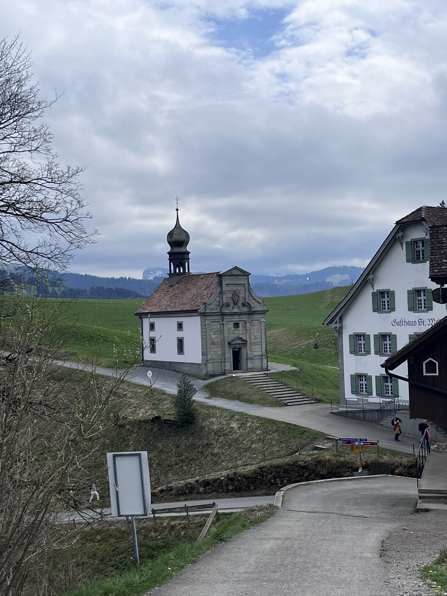
St. Meinrad
(952 m)
Restaurante
9,8 km
Pfäffikon SZ
(416 m)
Ciudad
12,7 km
Muschelberg
(509 m)
Liquidación
16,3 km
Gutenbrunnen
(456 m)
Liquidación
16,7 km
Trottacher
(471 m)
Liquidación
16,8 km
Altendorf
(427 m)
Pueblo
17,2 km
Gasthaus Johannisburg
(512 m)
Restaurante
18,9 km
Kapelle St. Johann
(489 m)
Lugar de culto
19,4 km
Brüggli
(434 m)
Liquidación
19,6 km
Rorwis
(430 m)
Liquidación
19,8 km
Hüsleten
(425 m)
Liquidación
19,8 km
Ziegelwis
(431 m)
Liquidación
19,9 km
Hof
(434 m)
Liquidación
20,0 km
Lachen SZ
(408 m)
Pueblo
20,7 km
Katholische Pfarrkirche Heilig-Kreuz
(408 m)
Lugar de culto
20,7 km
Seefeld
(409 m)
Barrio
21,5 km
Biberzelten
(410 m)
Barrio
21,6 km
Peterswinkel
(410 m)
Barrio
21,7 km
Restaurant Flugplatz
(407 m)
Restaurante
22,9 km
Nuolen
(412 m)
Pueblo
24,9 km
Wangen SZ
(423 m)
Pueblo
26,6 km
Halden
(586 m)
Corredor/terreno
29,4 km
Militärischer Ursprung
(519 m)
Entrada de la cueva
30,8 km
Giftigmöösli
(515 m)
Corredor/terreno
31,3 km
Rüteliroos
(475 m)
Corredor/terreno
32,7 km
Hundsruggen
(479 m)
Corredor/terreno
33,0 km
Schrötermoos
(455 m)
Corredor/terreno
33,0 km
Chlausen
(465 m)
Corredor/terreno
33,4 km
Schlosswald
(482 m)
Corredor/terreno
33,6 km
Mittler Buechberg
(444 m)
Corredor/terreno
35,0 km
Landgasthof Schloss Grynau
(409 m)
Restaurante
37,0 km
Schmerikon
(408 m)
Estación de ferrocarril
39,7 km
Schmerikon
(415 m)
Pueblo
39,9 km
Ledischiff LS Stäfa
(406 m)
Embarcadero
40,5 km
Zum Hof
(414 m)
Restaurante
42,0 km
Langacher
(410 m)
Corredor/terreno
42,4 km
Bollingen
(411 m)
Pueblo
43,5 km
Schifffahrt
(408 m)
Restaurante
43,6 km
St. Pankratius
(418 m)
Lugar de culto
43,6 km
Obere Staffeln
(411 m)
Corredor/terreno
44,5 km
Staffeln
(411 m)
Corredor/terreno
44,8 km
Untere Staffeln
(412 m)
Corredor/terreno
44,9 km
Wurmsbach
(408 m)
Liquidación
45,9 km
Jona
(420 m)
Ciudad
48,1 km
Rapperswil
(415 m)
Ciudad
49,7 km
Información turística

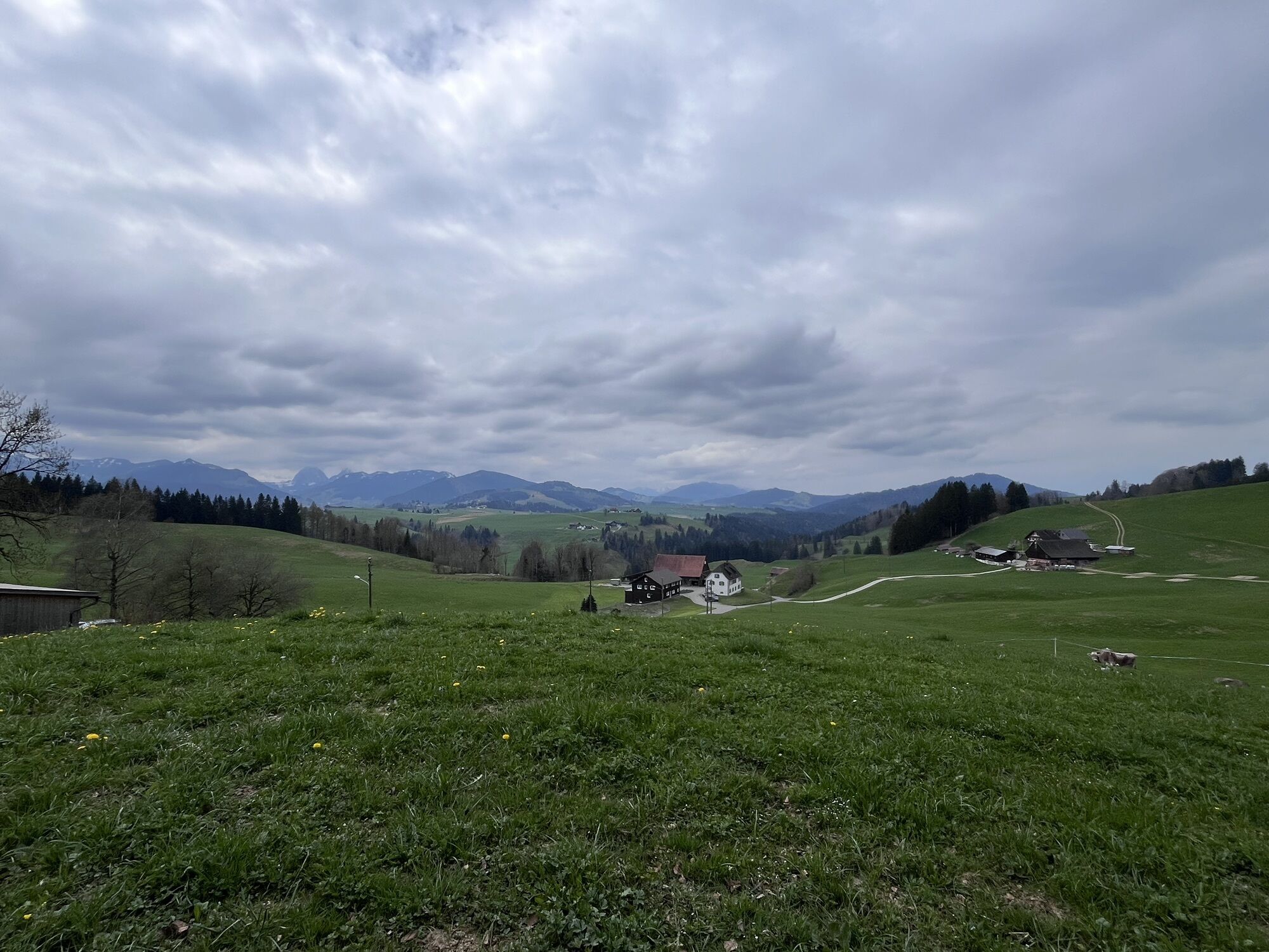
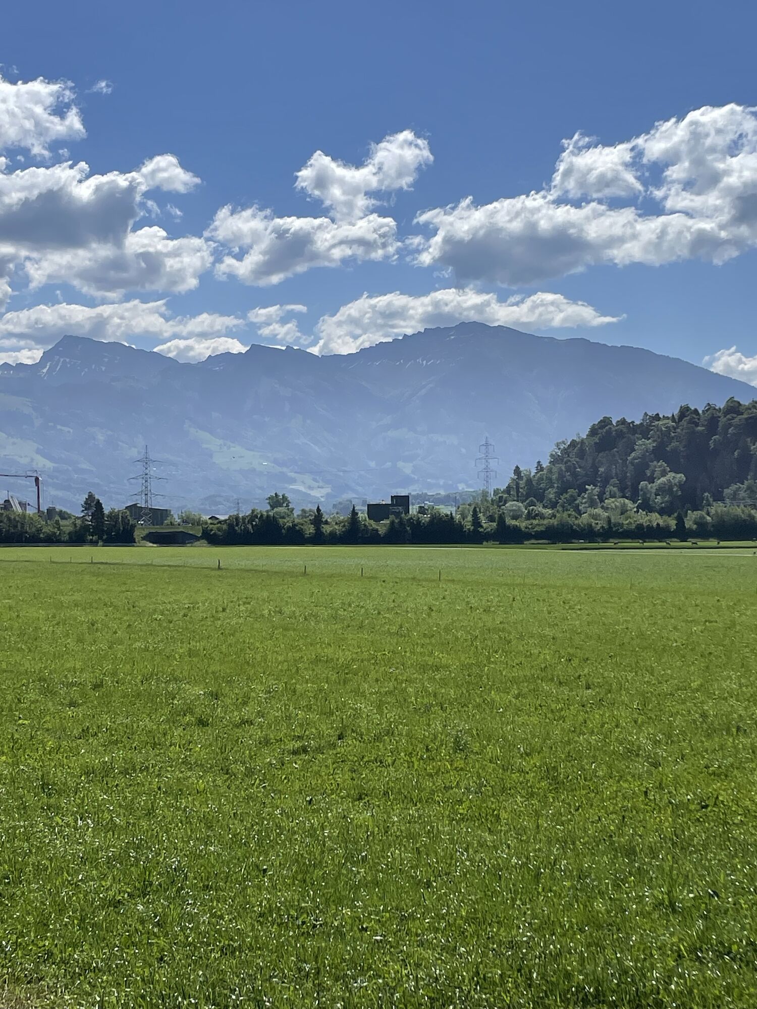
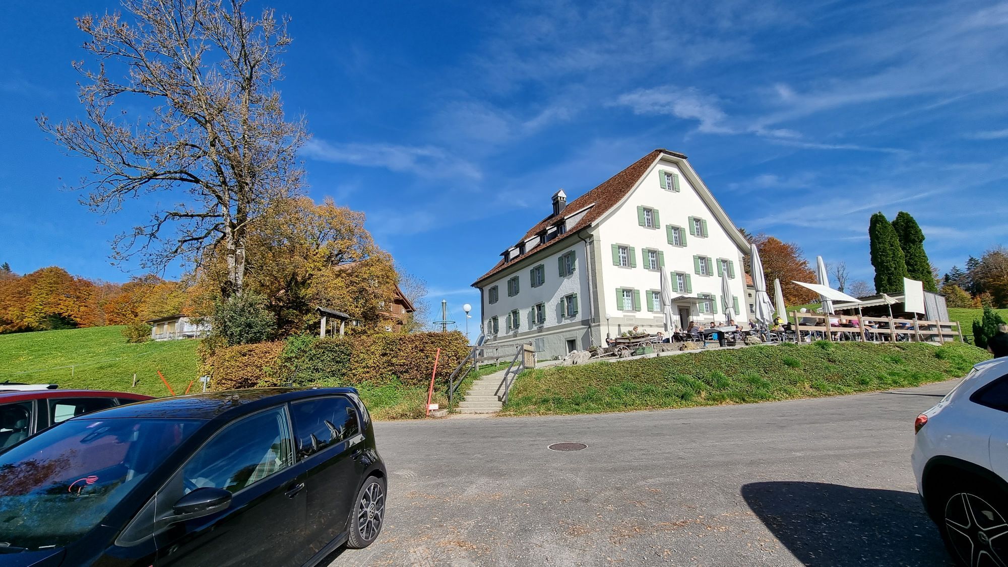
The Heart Route leads through some of the loveliest parts of prealpine Switzerland. The secluded trails, far from traffic noise and all hustle and bustle, are particularly appealing for exploring by electric bike. The route offers heart-warming encounters with the countryside and people.

Tecnología
n.d.
Condición
2 / 6
Paisaje
4 / 6
Experiencia
n.d.
La mejor época del año
Ene
Feb
Mar
Abr
May
Jun
Jul
Ago
Sep
Oct
Nov
Dic
Autor
Proporcionado por Einsiedeln-Ybrig-Zürichsee Tourismus
Compartir gira
Mapa
Heart Route - Section 8 Einsiedeln-Rapperswil - SwitzerlandMobility Route 99
medio
Ciclismo
50,14 km
Error
Se ha producido un error. Por favor, inténtelo de nuevo.
Información sobre la ruta
Ruta

Einsiedeln – Willerzell – Sattelegg – Rinderweidhorn – Lachen – Buechberg – Schmerikon – Rapperswil

Información de llegada
Llegada

Auf der A4a von Luzern oder Zürich die Ausfahrt «Zug/Baar» nehmen.

Transporte público

Taking the train to Zug is a particularly attractive proposition, since it brings you to the heart of the town.

Aparcamiento

Es empfiehlt sich in einem der Parkhäuser der Stadt Zug zu parken; kostenpflichtig. Signalisationstafeln an den Verkehrsknoten zeigen die Anzahl freier Parkplätze und den Weg zu den Parkhäusern an.

Información adicional y consejos
Consejos

Old EtzelstrasseRestaurant JohannisburgEinsiedeln Dairy

Aún no hay opiniones
Escriba un comentario

Las opiniones ayudan a otros usuarios a elegir su próxima aventura. Por favor, valora solo el tour, no el tiempo o tu aperitivo.

Seleccione una de las estrellas para puntuar el recorrido
Mal tour
Gira débil
Visita mediocre
Buena visita
Excelente recorrido
bergfex logo Infórmate Siempre en directo con más de 9.500 webcams. bergfex Como usuario Pro, ahora puede ver las webcams correspondientes a muchos tours en la app de tours desde. Esto le permite ver las condiciones actuales directamente.
Senderismo y rastreo

Senderismo y rastreo

Senderismo y rastreo
Más de 550.000 sugerencias de excursiones, mapas detallados y un intuitivo planificador de rutas hacen de esta aplicación una herramienta imprescindible para todos los amantes de la naturaleza.
bergfex