


Lakes Route – Section 7 Zug-Einsiedeln – SwitzerlandMobility Route 9
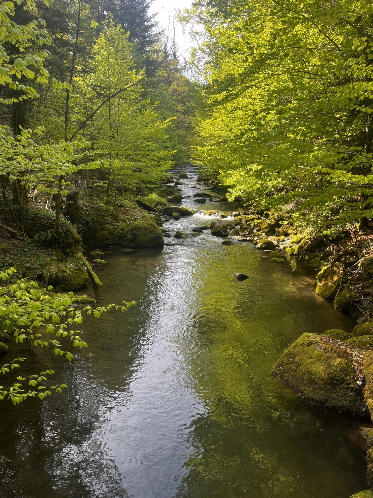

A chilly subterranean experience in the Höllgrotten caves; a grim battle site by crystal-clear Lake Ägeri; a world of orchids, peat and insects on the Rothenthurm upland moor; and a busy pilgrimage destination...
A chilly subterranean experience in the Höllgrotten caves; a grim battle site by crystal-clear Lake Ägeri; a world of orchids, peat and insects on the Rothenthurm upland moor; and a busy pilgrimage destination in Einsiedeln.
Zug – Baar – Lake Ägeri – Sattel – Rothenthurm – Einsiedeln
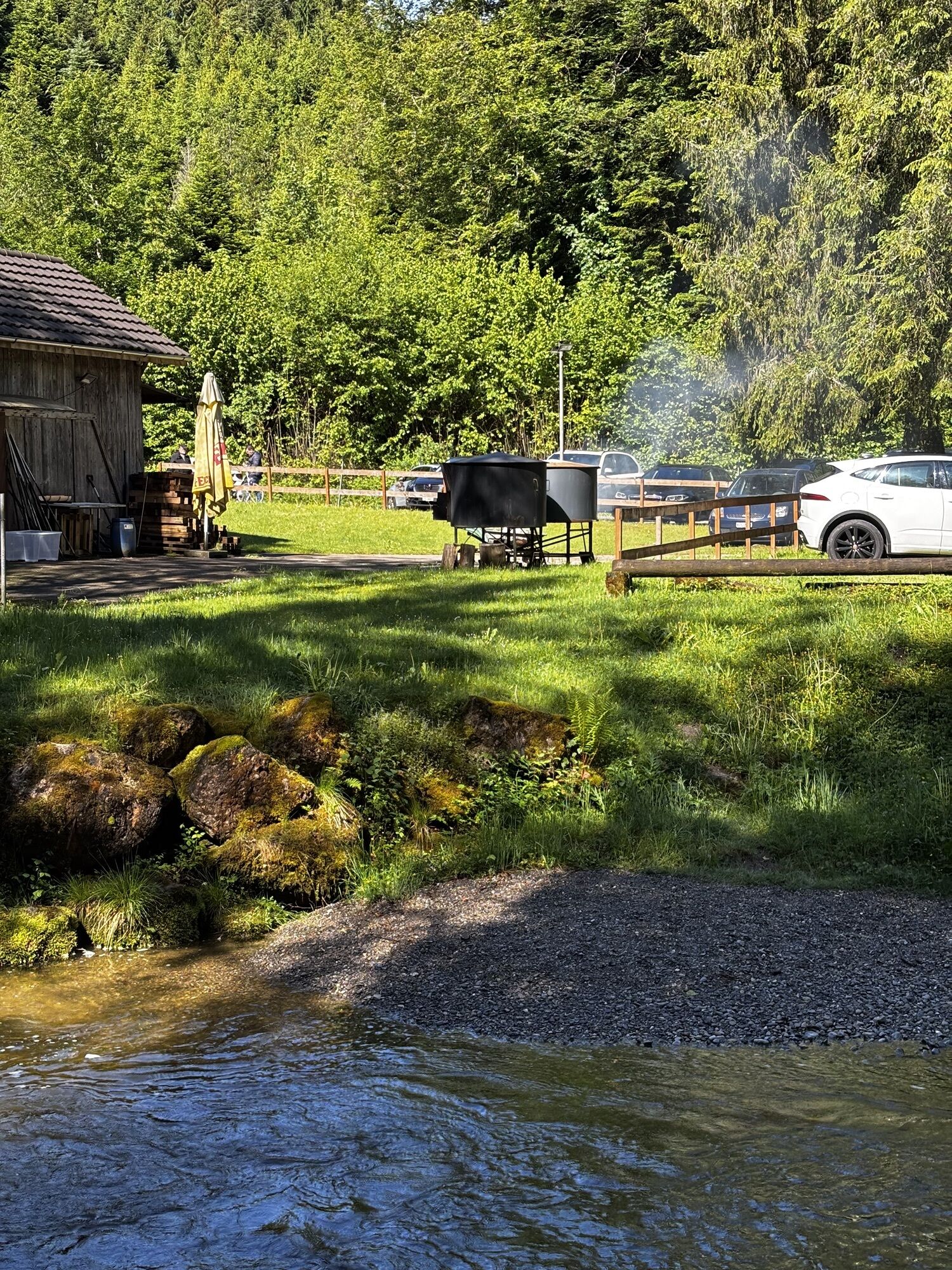
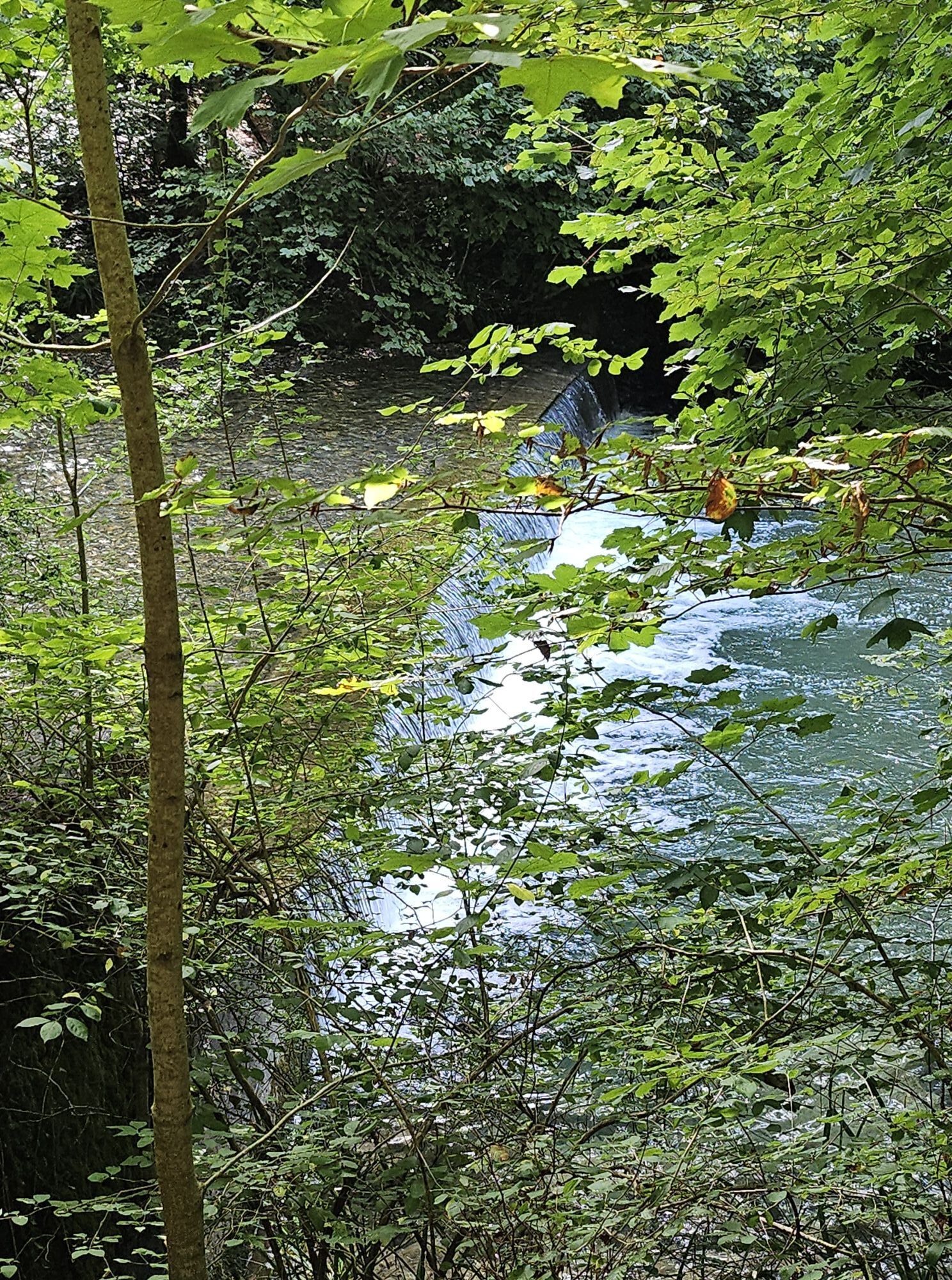
Steep sections of path in the Lorzentobel area (Baar - Ägeri). Busy main roads Schmittli - Unterägeri and Obergägeri - Morgarten and around Biberbrugg. If the local firing range is in operation, a detour will be signposted in Rothenthurm.
Auf der A4a von Luzern oder Zürich die Ausfahrt «Zug/Baar» nehmen.
Taking the train to Zug is a particularly attractive proposition, since it brings you to the heart of the town.
Es empfiehlt sich in einem der Parkhäuser der Stadt Zug zu parken; kostenpflichtig. Signalisationstafeln an den Verkehrsknoten zeigen die Anzahl freier Parkplätze und den Weg zu den Parkhäusern an.
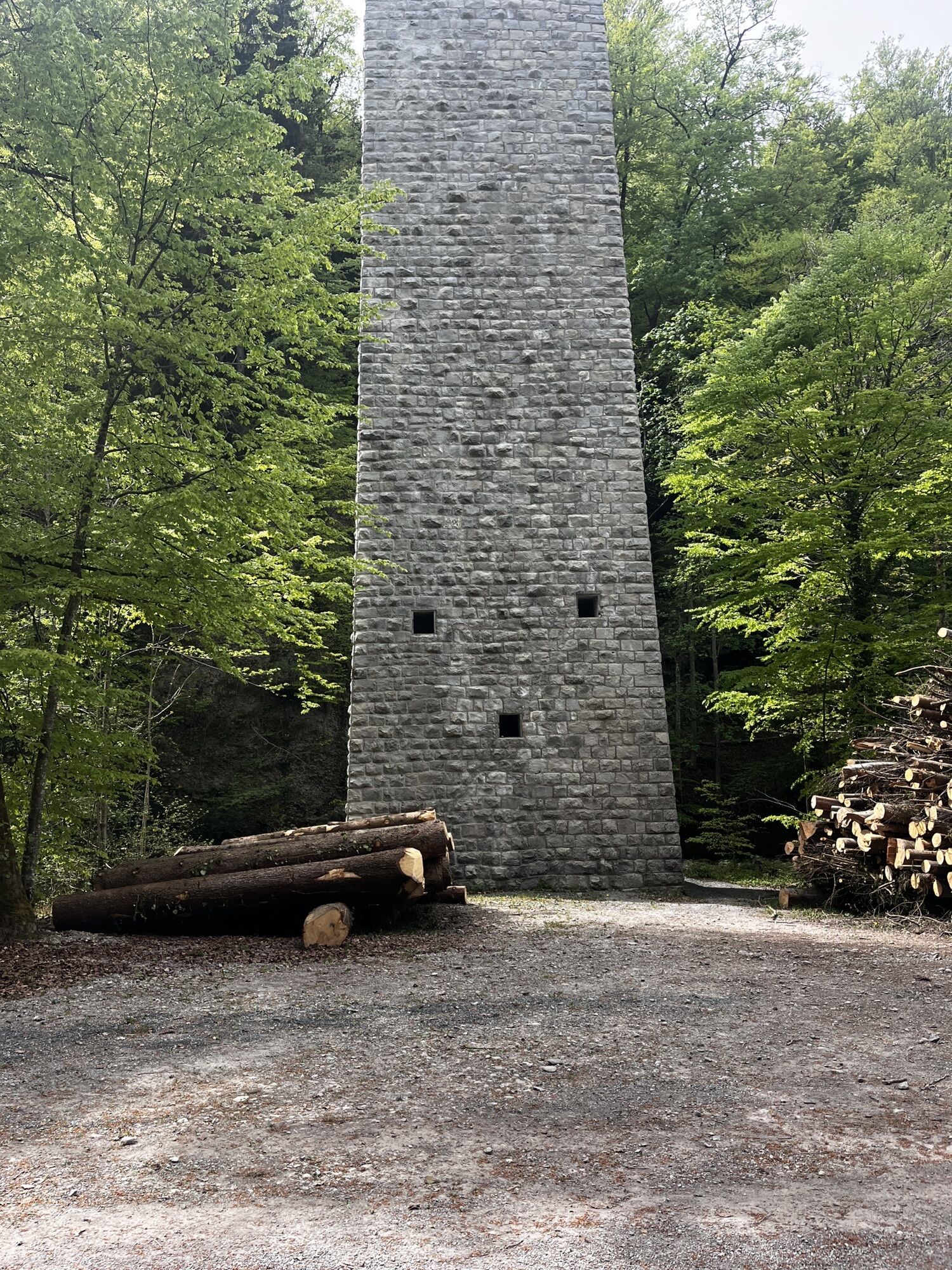
Old town, ZugHöllgrotten caves, BaarMorgarten battle memorialRothenthurm upland moorEinsiedeln Monastery
Webcams del recorrido
-
Bergstation Brunni-Haggenegg
-
Bärenfang
-
Skywalk Ost
-
Mostelberg - Sattel
-
Langlaufloipe Menzingen
-
Mostelberg Engelstock
-
Einsiedeln
-
Zug Hafen
-
Cham Zugersee
-
Oberägeri Restaurant Gottschalkenberg
-
Oberägeri Restaurant Gottschalkenberg
-
Raten
-
Raten
-
Raten
-
Rothenthurm
-
Zug
-
Menzingen
-
Unterägeri
-
Yacht Club Zug
-
Willerzell - Sihlsee
-
Sihlsee
-
Willerzell - Camping Grüne Aff
-
Rothenthurm
Rutas populares en los alrededores
-
4,3
Mythenweg - Bergwanderung auf den Grossen Mythen
pesadoSenderismo 3,40 km -
4,2
Kleiner Mythen
medioSenderismo 6,31 km -
4,5
Brunni-Feuerstellen-Rundwanderung
luzSenderismo 11,5 km -
4,7
Mythen via Ibergeregg
medioSenderismo 9,73 km -
3,9
Gnipen - ab Goldau - Rundwanderung
medioSenderismo 10,6 km -
5,0
Wanderung entlang der Mythen, Alp "Zwüschet-Mythen"
medioSenderismo 10,5 km -
4,8
Rundweg Hirzelhöhi - Horgener Bergweiher
luzSenderismo 8,82 km -
4,8
Holzegg - Grosser Mythen - Restaurant Grosser Mythen - Alpwirtschaft Brunnialp
medioSenderismo 5,66 km -
2,5
Rundwanderung Furggelenstock
medioSenderismo 10 km -
5,0
Zugerberg - via Blasenberg - Rundwanderung
luzSenderismo 9,44 km

Senderismo y rastreo


No se pierda las ofertas y la inspiración para sus próximas vacaciones
Su dirección de correo electrónico se ha añadido a la lista de correo.