


Glacier Bike Tour 8. Andermatt - Ulrichen
Fotos de nuestros usuarios
-
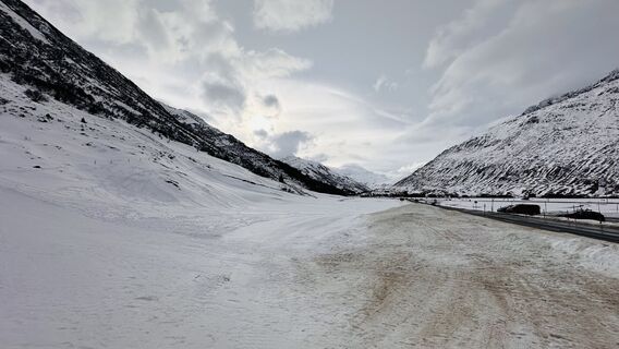
 © Christian KrebsCreado el 31.12.2025
 -
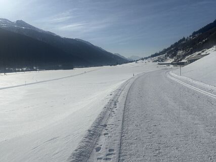
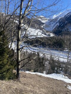
 © Zengaffinen ErwinCreado el 21.01.2026
 -
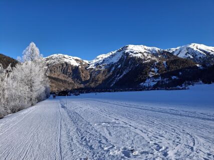
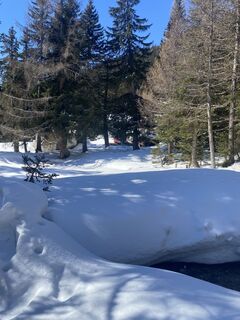
 © Ruslan BarievCreado el 17.01.2026
 -
 © Grieshofer GerlindeCreado el 18.08.2025
 -

 © Dunja HahnCreado el 17.08.2025
 -
 © Dunja HahnCreado el 17.08.2025
 -
 © Dunja HahnCreado el 17.08.2025
 -
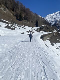
 © Reto GrinerCreado el 18.07.2025
 -
 © Reto GrinerCreado el 18.07.2025
 -
 © Reto GrinerCreado el 18.07.2025
 -
 © Reto GrinerCreado el 18.07.2025
 -

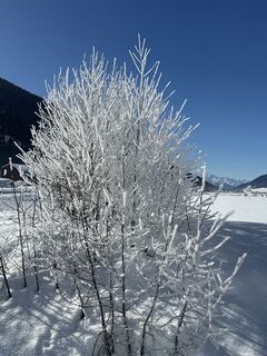
 © István Gábor 1Creado el 15.07.2025
 -
 © István Gábor 1Creado el 15.07.2025
 -
 © István Gábor 1Creado el 15.07.2025
 -
 © István Gábor 1Creado el 15.07.2025
 -
 © István Gábor 1Creado el 15.07.2025
 -
 © István Gábor 1Creado el 15.07.2025
 -
 © István Gábor 1Creado el 15.07.2025
 -
 © István Gábor 1Creado el 15.07.2025
 -

 © Toni ZimmermannCreado el 09.04.2025
 -
 © Bruno ZahnoCreado el 28.02.2025
 -
 © Bruno ZahnoCreado el 28.02.2025
 -
 © Bruno ZahnoCreado el 28.02.2025
 -
 © Zengaffinen ErwinCreado el 03.02.2025
 -
 © Zengaffinen ErwinCreado el 03.02.2025
 -
 © Zengaffinen ErwinCreado el 03.02.2025


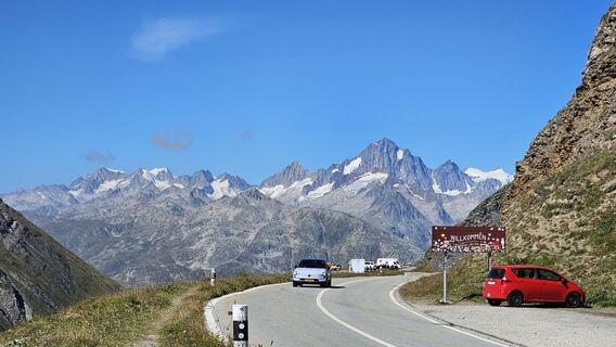
In its eighth leg, the Glacier Bike Tour (GBT) departs from Andermatt and heads for the source of the Rhône in Valais, via the Furka Pass. This stretch reveals one of Switzerland's most beautiful villages,...
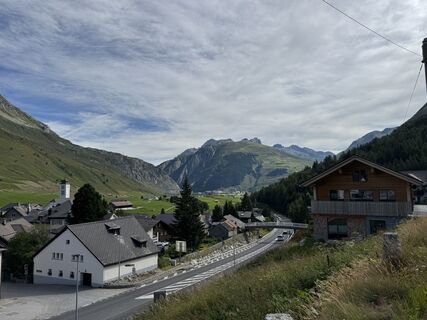
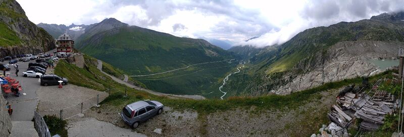
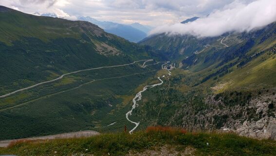
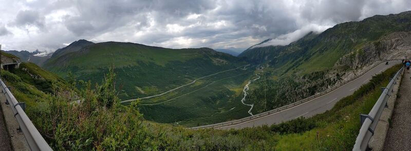
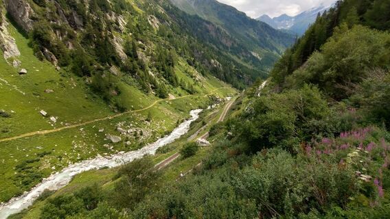
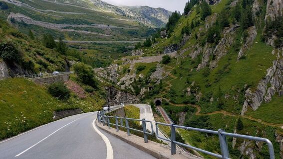
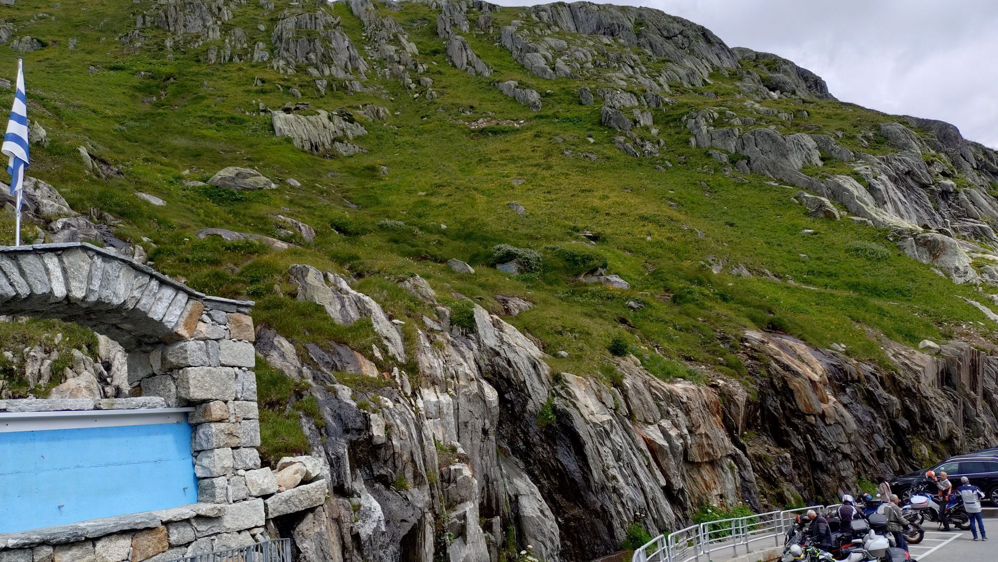
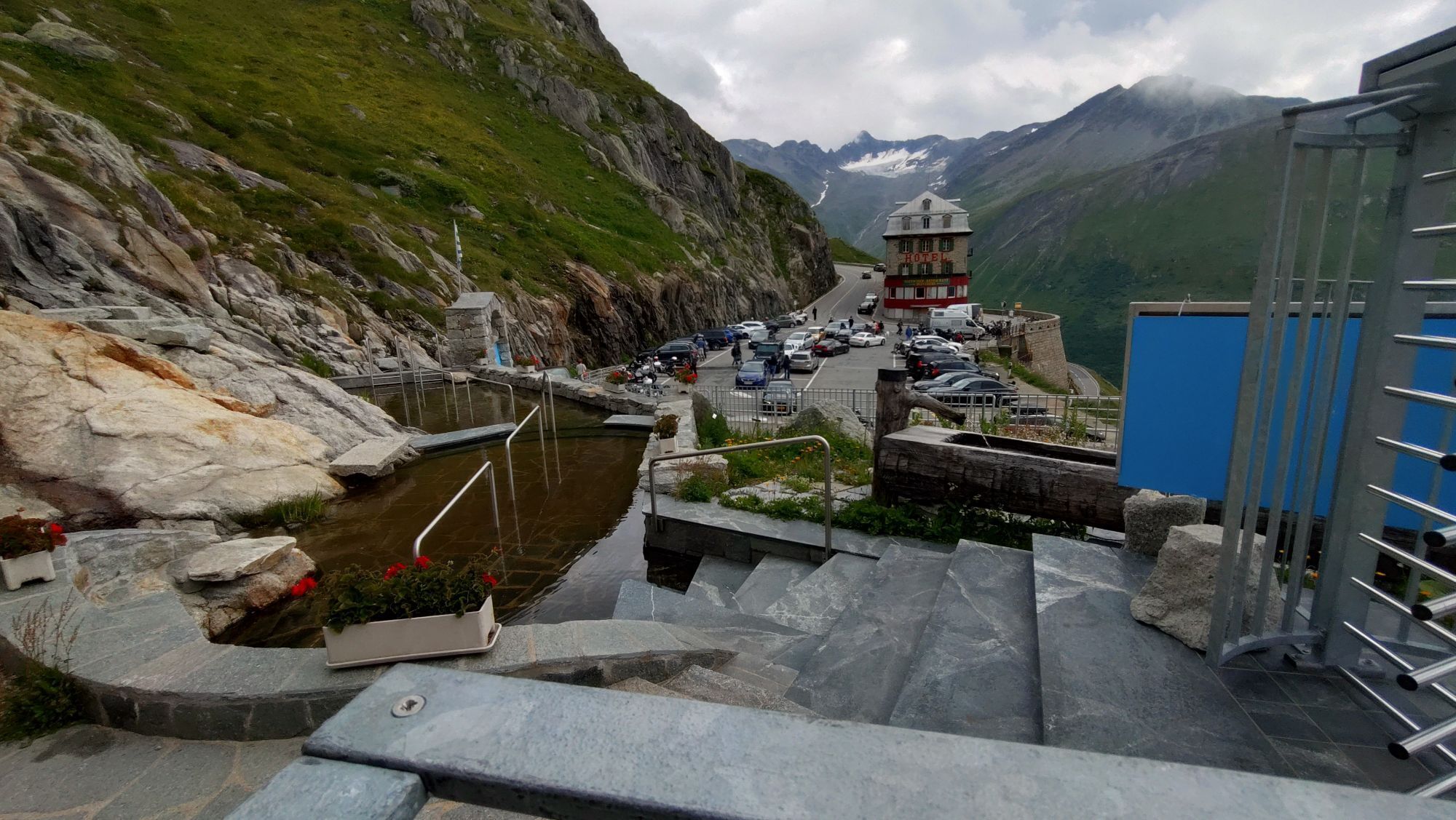
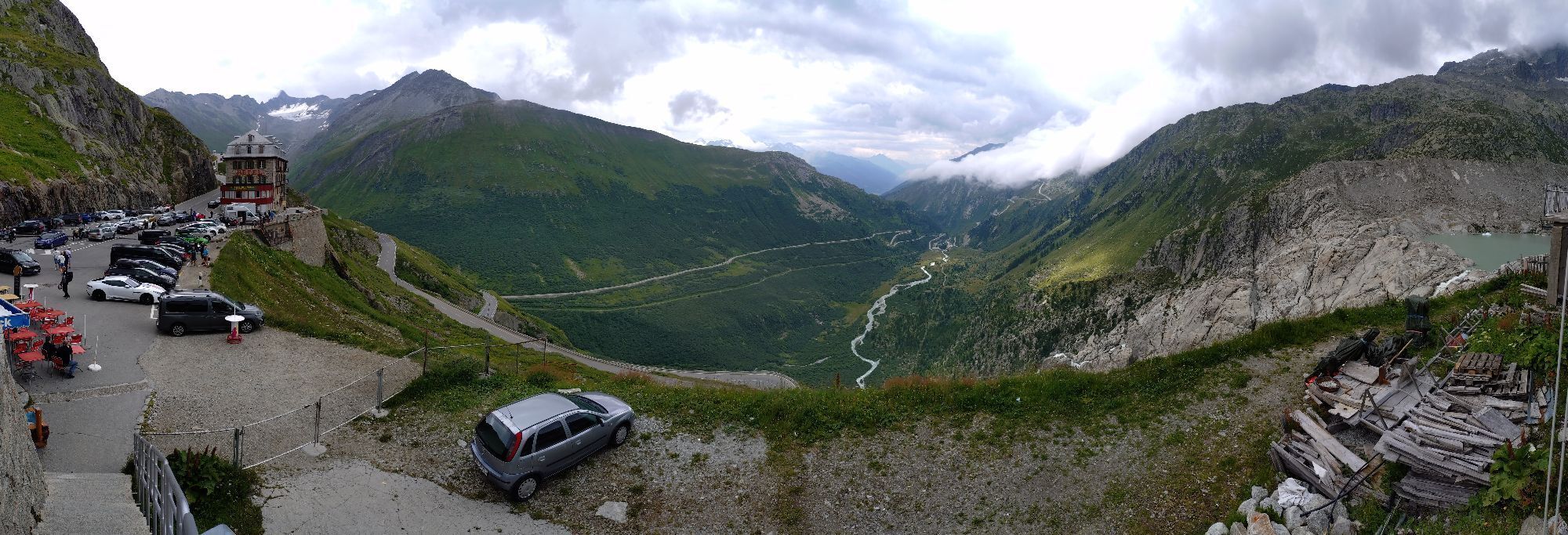
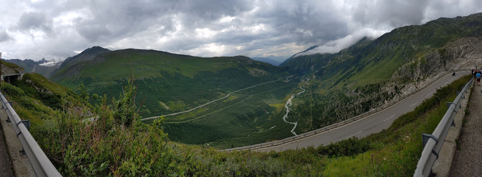
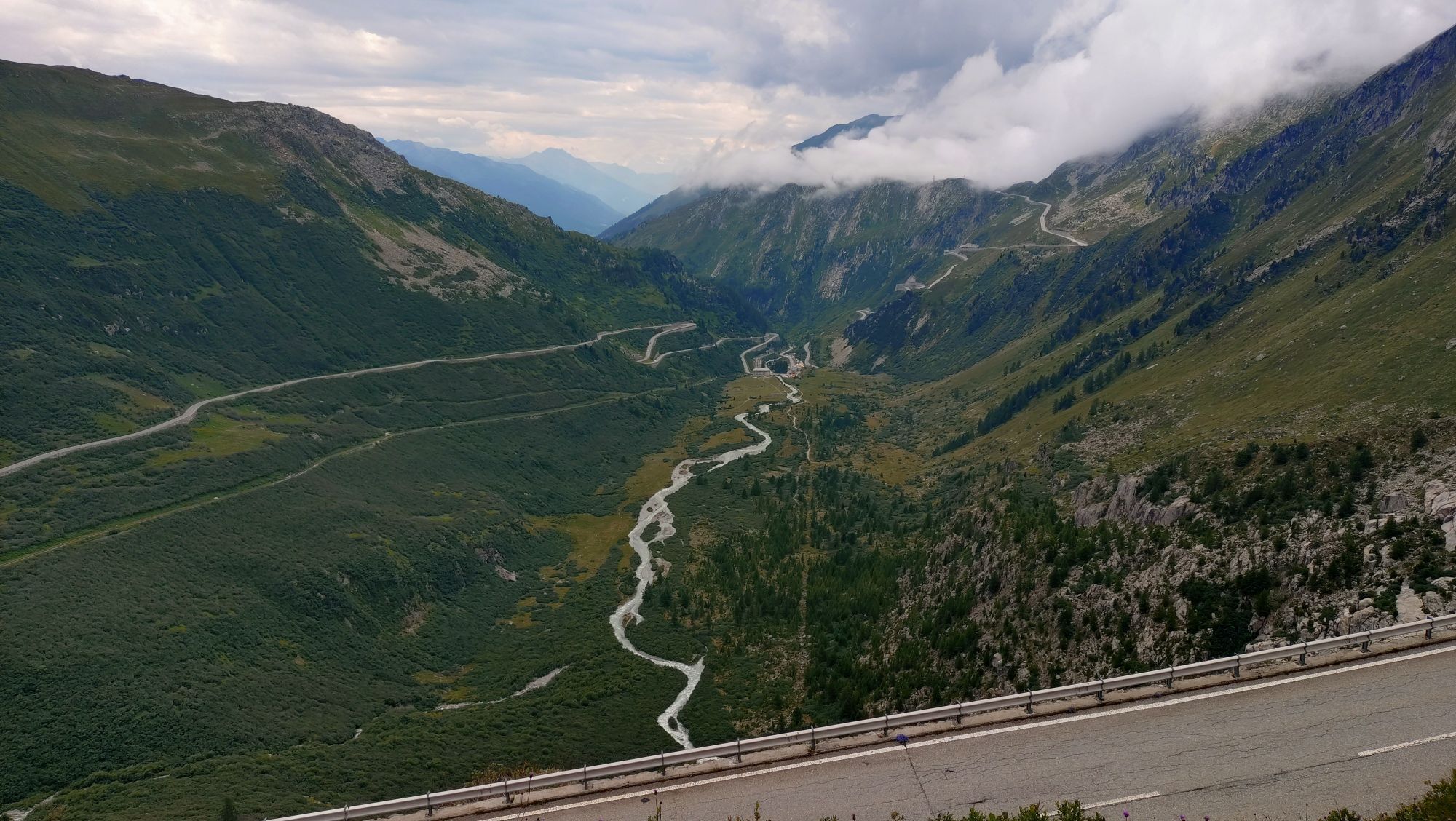
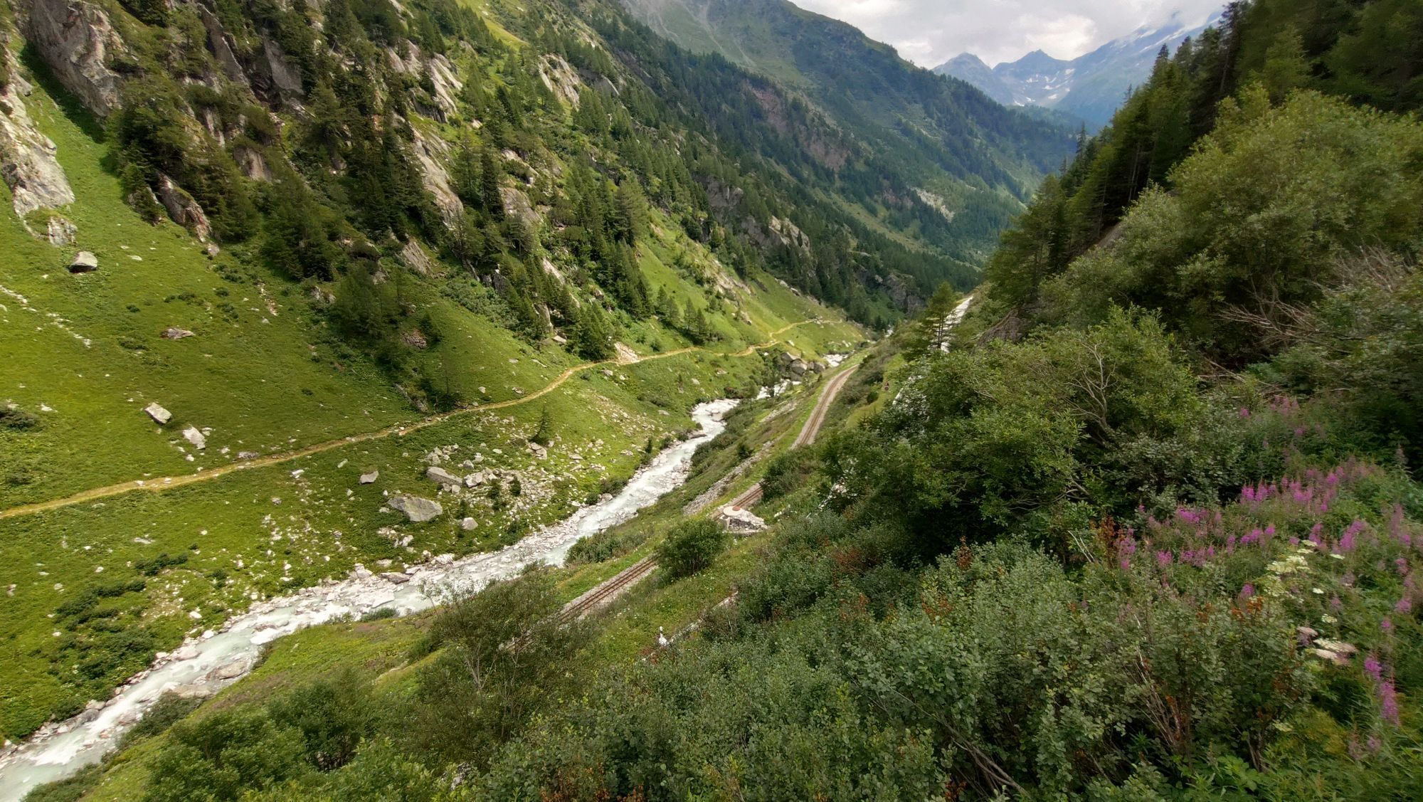
In its eighth leg, the Glacier Bike Tour (GBT) departs from Andermatt and heads for the source of the Rhône in Valais, via the Furka Pass. This stretch reveals one of Switzerland's most beautiful villages, as well as the country's smallest, while the climb to the Furka Pass takes you up to a height of almost 900 m. At the summit, cross the cantonal border to take your first steps into Valais and, after a few downhill bends, discover the Rhône glacier, where the river rises, as well as the iconic Hotel Belvédère, which is no longer in operation. The descent offers splendid views of the imposing 4,000 m peaks of the Bernese and Valais Alps. On the way to the Goms valley (Conches), the Alpine landscape is replaced by forests and finally opens out onto a vast, picturesque expanse. You’ll reach Ulrichen, your stopover spot, surrounded by the Furka, Grimsel and Nufenen passes.
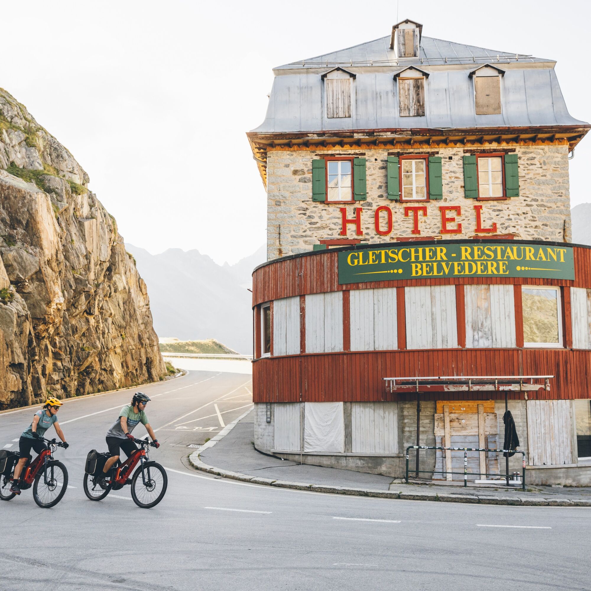
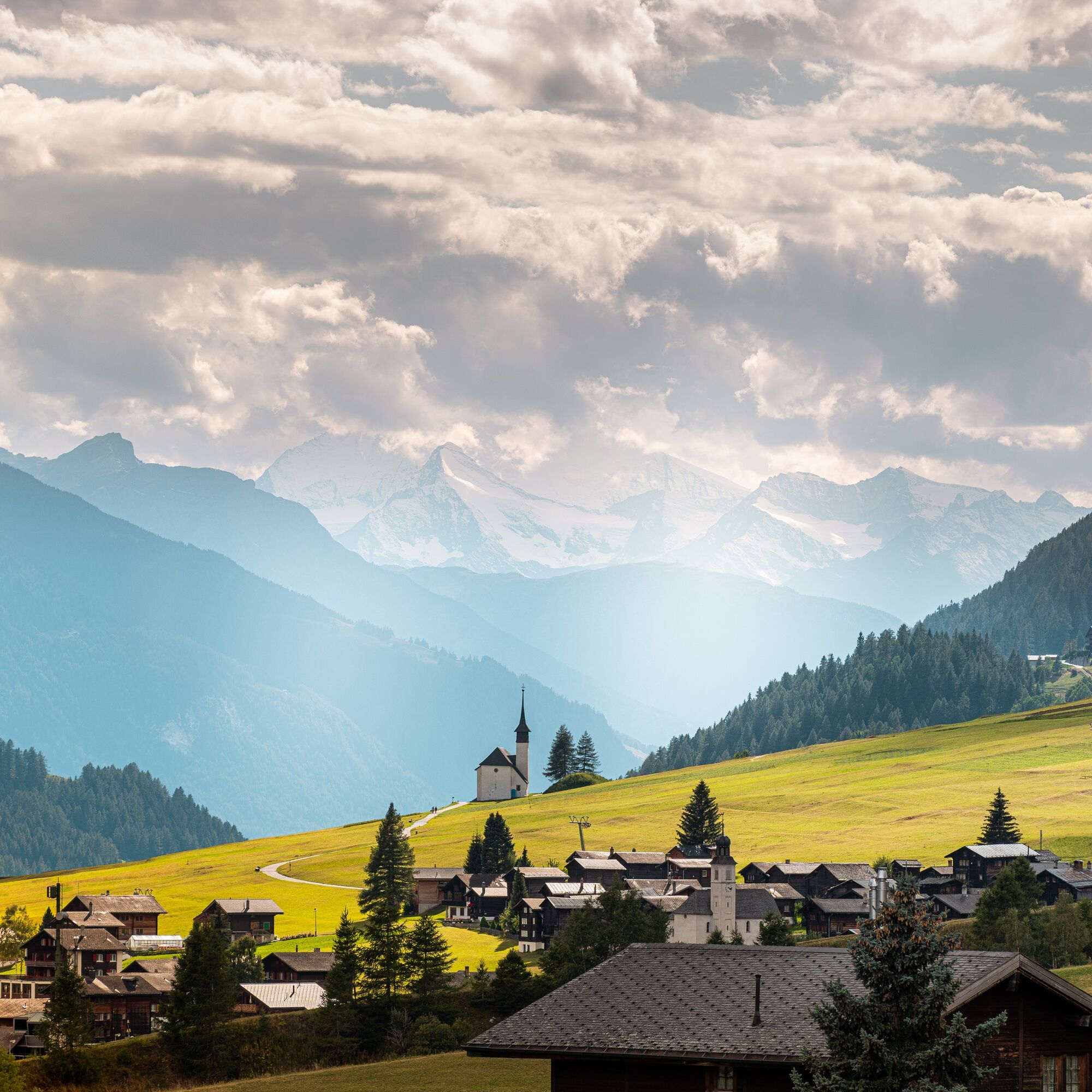
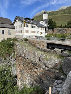
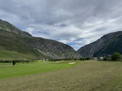
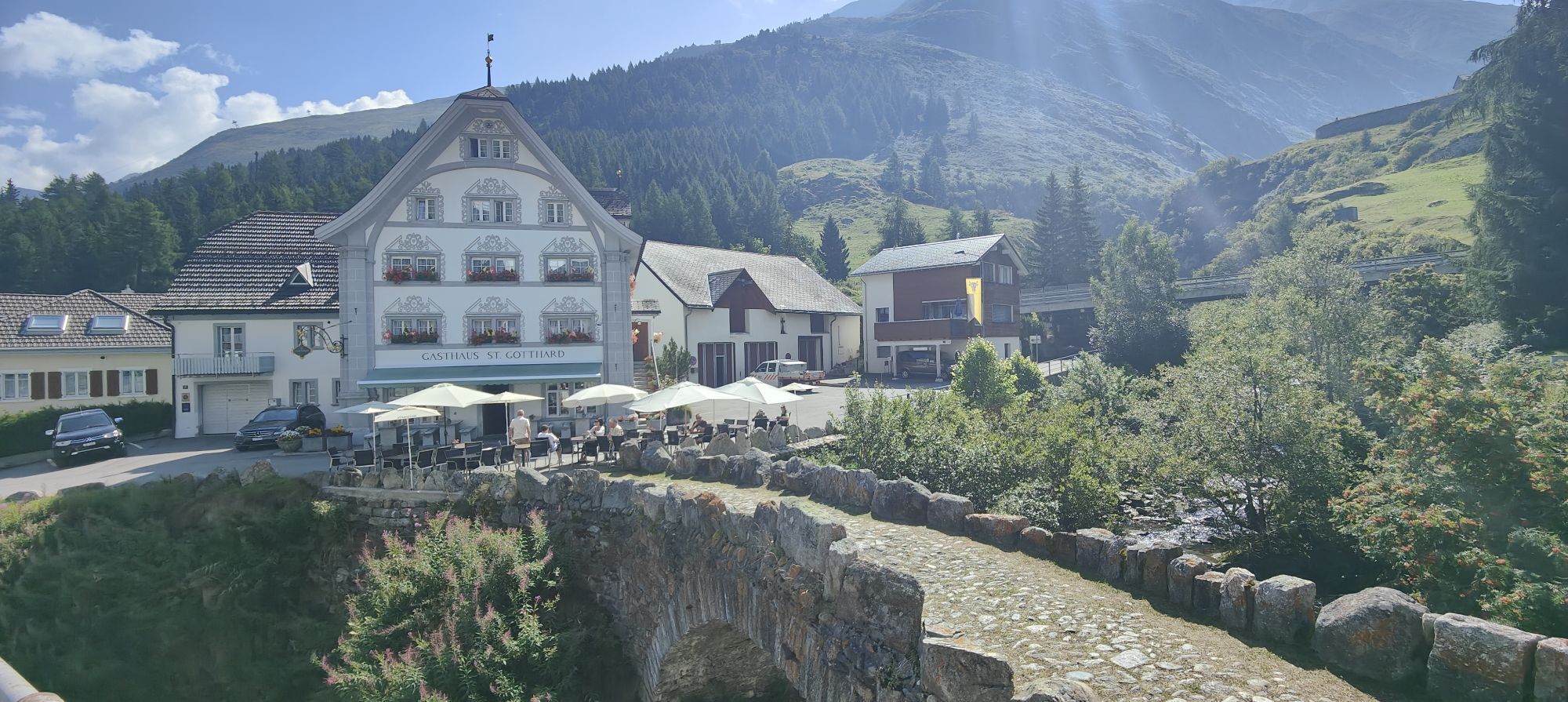
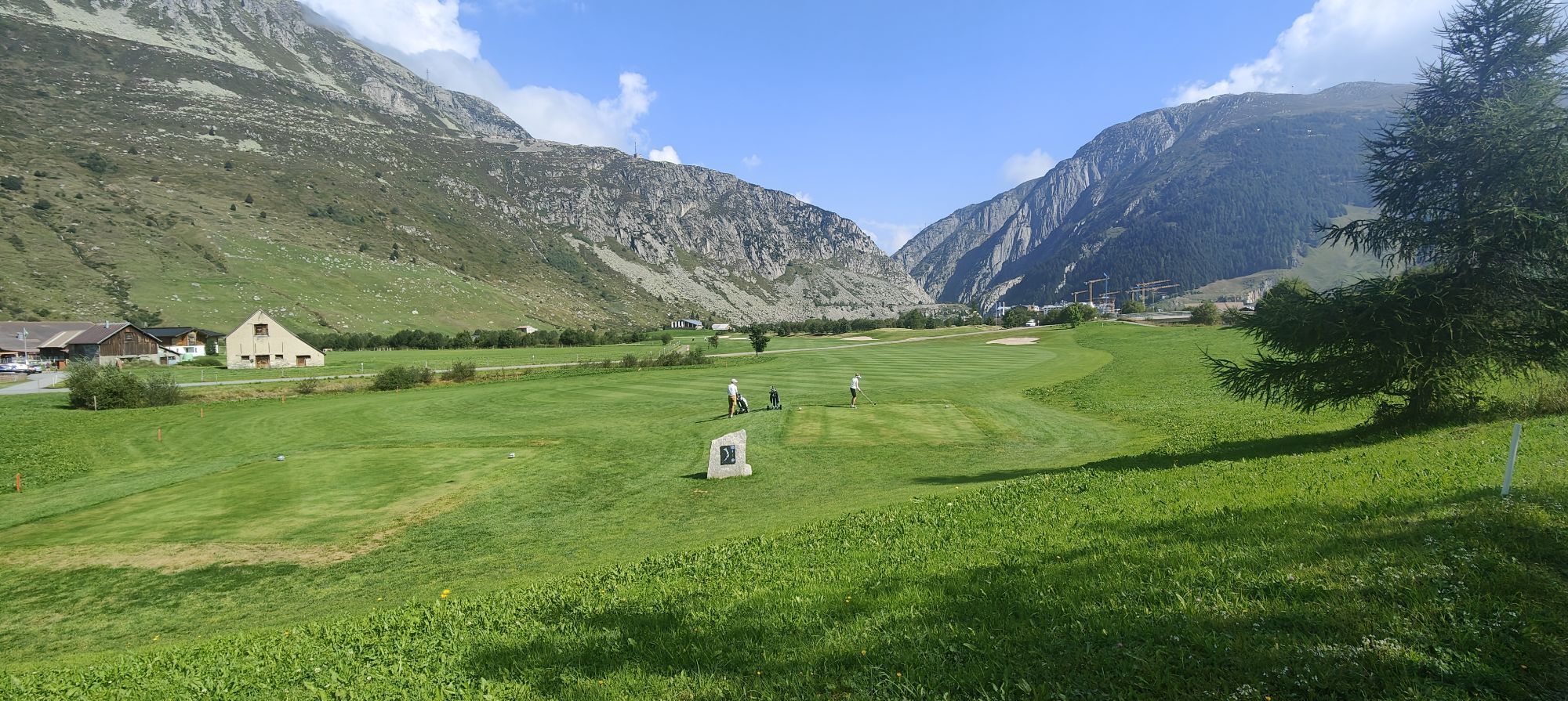
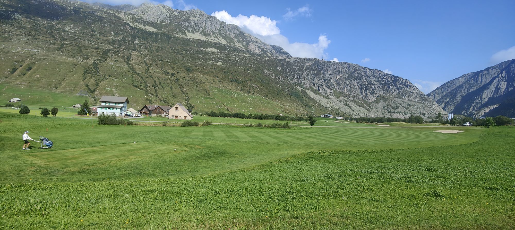
From Andermatt, follow the Reuss along the Andermatt golf course, stopping first at Hospental, one of Switzerland's most beautiful villages and then at Zumdorf, the country's smallest village. Continue on to Realp and the eastern ramp of the Furka Pass, via the Urseren plain. The climb to the pass is a steady and demanding one, with a 900 m ascent over 12 km. At the summit, cross the cantonal border before tackling the first bends of the descent. At 2,200 m, you’ll reach the Rhône glacier, the river you'll follow for many kilometres. Pass the Hotel Belvédère and continue your descent, winding your way down to Gletsch and on to the Goms valley (Conches). In front of you, the Alpine landscape is replaced by forests and finally opens out onto the picturesque expanse of the upper Goms valley and the plateau of Ulrichen, the stopover town on your route.
Sí
Sí
Sí
Which e-bike should one use on the Glacier Bike Tour? Professional cyclist and twice E-MTB world champion Nathalie Schneitter demonstrates the ideal two-wheeler in this video. A sturdy, comfortable full-suspension e-bike with wide, grippy tyres, powerful brakes and, if possible, a lowerable seat post.
One needs to be ready for anything in the mountains, even in midsummer. So what should one plan to include in one’s bike bags for an adventure that – incorporating three mountain passes and landscapes that are as Alpine as they are Mediterranean – is about as exceptional as it gets? Having already completed the Glacier Bike Tour, cycling pro Nathalie Schneitter reveals her list of what to pack.
Preparing for mountain bike outings
Use marked bike trails and routes only, making sure you observe all signposting. The Glacier Bike Tour route is under development and is not signposted. While on the route, you can find your way using the Outdoor Active app.
Preparing for mountain bike outings
This route has not been approved by the canton of Valais in accordance with the law on leisure mobility routes. The use of the routes and of the information on this website is the responsibility of each user. Local conditions may lead to changes in the route. We accept no responsibility for the accuracy or completeness of the information on the website.
The mountains are a place of pleasure to be shared and respected, offering space in which to meet up and share unforgettable moments, whether by bike or on foot. For all outdoor enthusiasts to enjoy them properly, it is essential that mountains are shared in a way that respects both Nature and agriculture. Respectful behaviour enables everyone to enjoy their hobby in the best possible conditions. Find out about the recommendations and rules in place.
When planning, take into account participants’ fitness level and ability. All riding is at one’s own risk.
By car, take the motorway exit at Göschenen and continue for 10 minutes in the direction of Andermatt.
Take the Gotthard Express to Göschenen, then the Matterhorn Gothard Bahn to Andermatt.
Remember to reserve a place for your mountain bike on the SBB mobile application or on sbb.ch.
Follow the car-park routeing in Andermatt.
Book one of the Glacier Bike Tour holiday offers! Choose between eleven, seven or three nights and enjoy some great riding days. You will be staying in bike hotels and will be provided with a daily luggage transport service; all that’s left for you to do is hit the trails! Go to the offer.
See full itinerary:
More information about the destination:
If the sun is out, drop off your luggage at Ulrichen, then go for a swim, relax or hire a stand-up paddleboard at Geschinersee.
Webcams del recorrido
-
Gurtnellen-Wiler
-
Bäzberg Andermatt
-
Obergesteln
-
Ulrichen VS / Hotel Astoria
-
Gemsstock - Andermatt
-
Urserental - Golfplatz
-
Andermatt
-
Nordisches Zentrum Goms
-
Mittelstation Gurschen
-
Mittelstation Nätschen
-
Münster Landhaus Goms
-
Hotel Grimselpass
-
Oberwald / Autoverlad
-
Realp / Autoverlad Furka
-
Grimselsee - Grimsel Hospiz
-
Göschenen - Schöllenen
-
Albert-Heim-Hütte SAC
-
Albert-Heim-Hütte SAC
-
Obergesteln - Source du Rhône
-
Goms - Obergesteln
-
Gütsch
Rutas populares en los alrededores
-
5,0
Gelmersee-Tour
luzSenderismo 9,03 km -
Paso de Furka – glaciar del Ródano
luzSenderismo 3,59 km -
5,0
Sendero de los 9 Lagos
pesadoSenderismo 17,3 km -
5,0
Ruta circular desde paso Grimsel - Sidelhorn vía lago Jostsee
medioSenderismo 8,47 km -
4,0
Capanna Piansecco
luzRaquetas de nieve 7,26 km -
2,0
Ruta circular Furkapass-Tällistock
medioSenderismo 11,0 km -
Anstieg Trifthutte von KWO-bahn
medioExcursión de alta montaña 7,11 km -
5,0
Sidelenhütte
luzSenderismo 3,39 km -
Realp - Schafberg
medioEsquí de travesía 5,27 km -
Ossasca - Cristallinahütte
Senderismo 6,80 km
Senderismo y rastreo


No se pierda las ofertas y la inspiración para sus próximas vacaciones
Su dirección de correo electrónico se ha añadido a la lista de correo.