






Sendero Springs
Nivel de dificultad: 4
Desde el centro de La Fonte, continúe por el lado izquierdo de la pista, subiendo unos metros por la ladera de Cevedale. El sendero continúa adentrándose en el bosque, ascendiendo suavemente durante 3...
Desde el centro de La Fonte, continúe por el lado izquierdo de la pista, subiendo unos metros por la ladera de Cevedale. El sendero continúa adentrándose en el bosque, ascendiendo suavemente durante 3 km hasta la localidad de Plaghera. Aquí se encuentra totalmente inmerso en el bosque hasta llegar a la bifurcación que conduce al refugio Paradiso y al refugio 2000, donde podrá detenerse para descansar. Se puede regresar al pueblo a pie, siguiendo el mismo itinerario, o con el telesilla Paradiso.

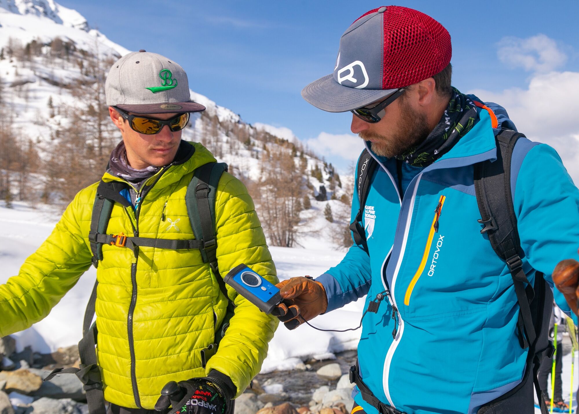

Sendero del Paraíso
Waterproof winter trekking boots
Telescopic poles with snow baskets
Technical and breathable layered clothing
Waterproof and windproof jacket
Gloves, hat, and sunglasses
Sunscreen (even in winter)
Backpack with water and energy snacks
In case of variable conditions, light crampons are recommended in the backpack.
Be careful in case of heavy fresh snow or icy sections.
Do not leave the marked trail.
Avoid the route in case of poor visibility.
Inform someone of your itinerary before leaving.
In case of emergency: European single number 112.
4
Do not disturb wildlife and keep a suitable distance in case of sightings.
Do not leave waste.
Keep dogs on a leash, where allowed.
Avoid loud noises and music to not disturb the natural environment.
Stop in the panoramic clearings to observe the landscape and listen to the silence of the woods.
After a recent snowfall, the route takes on an even more suggestive charm, but always check the conditions before setting off.
Also ideal as a guided experience to deepen the naturalistic and environmental aspects of the Park.
Infórmate
Siempre en directo con más de 9.500 webcams. bergfex Como usuario Pro, ahora puede ver las webcams correspondientes a muchos tours en la app de tours desde. Esto le permite ver las condiciones actuales directamente.
Rutas populares en los alrededores
-
3,9
Von Sulden zur Hinteren Schöntaufspitze
medioSenderismo 12,7 km -
3,7
Payerhütte 3020m
Senderismo 6,98 km -
4,5
Sonnenaufgang auf der Rötelspitze im Nationalpark Stilfserjoch
Senderismo 2,02 km -
5,0
Wanderung/Aufstieg zur Payerhütte
luzSenderismo 15,9 km -
4,3
Obervinschgau - Madritschjoch, der höchste Transalp Übergang
Mountainbike 9,54 km -
5,0
Ortler über Meraner Weg (vom Tal/Trafoi)
pesadoExcursión de alta montaña 11,9 km -
4,3
Ortler – Normalweg
pesadoExcursión de alta montaña 7,30 km -
3,5
Watervallen wandeling
luzSenderismo 4,95 km -
5,0
Ortler über Hintergrat
pesadoExcursión de alta montaña 8,03 km -
4,8
Wanderung: Heilige drei Brunnen zur Berglhütte
luzSenderismo 5,51 km
Senderismo y rastreo


No se pierda las ofertas y la inspiración para sus próximas vacaciones
Su dirección de correo electrónico se ha añadido a la lista de correo.





