


SV_01 Il Parco del Beigua
First stage. The trail marker is two full yellow triangles. The starting point is the centre of Sassello (381 m above the sea level): from piazza Concezione take via Umberto I, then turn to the right and...
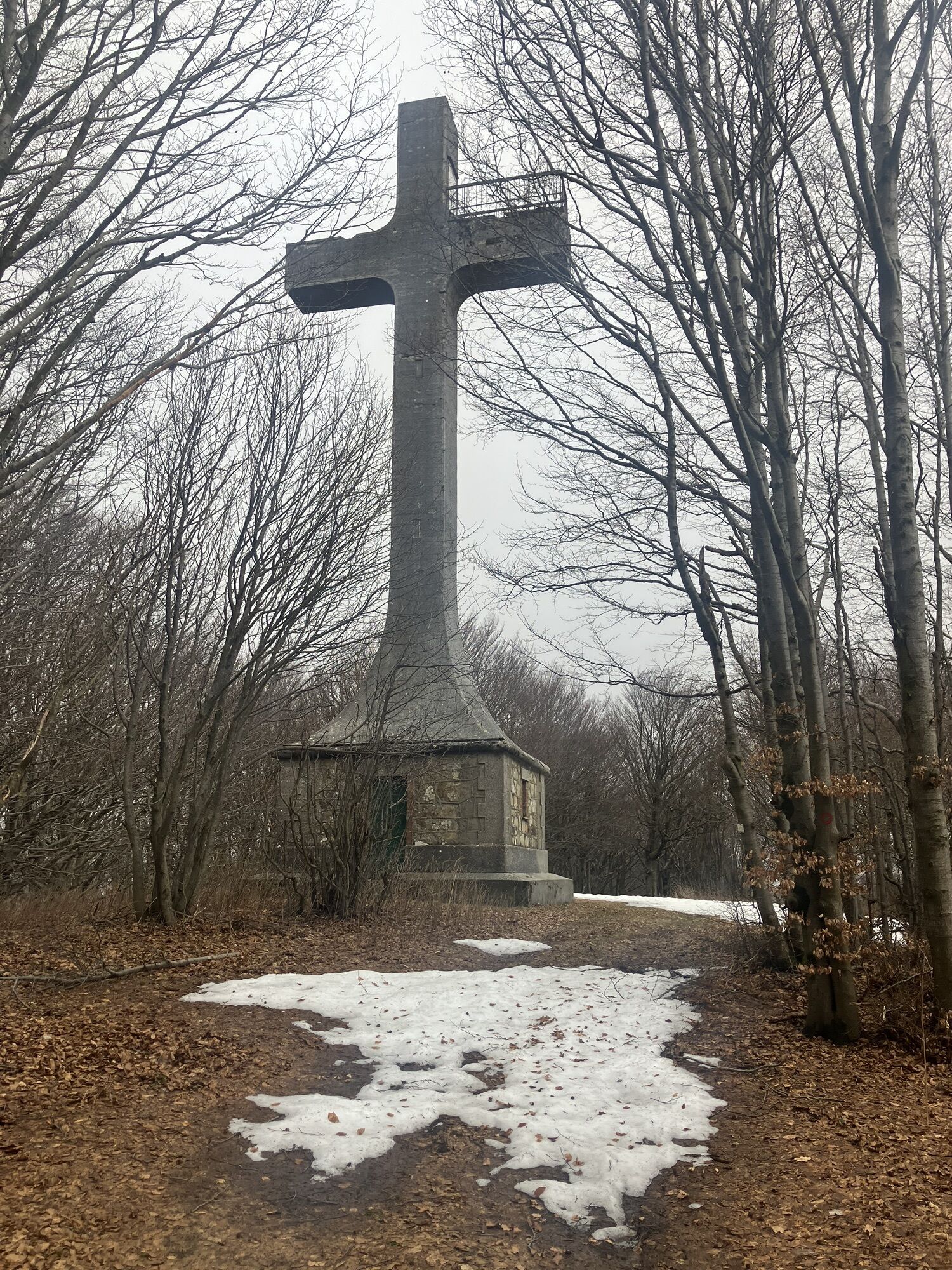
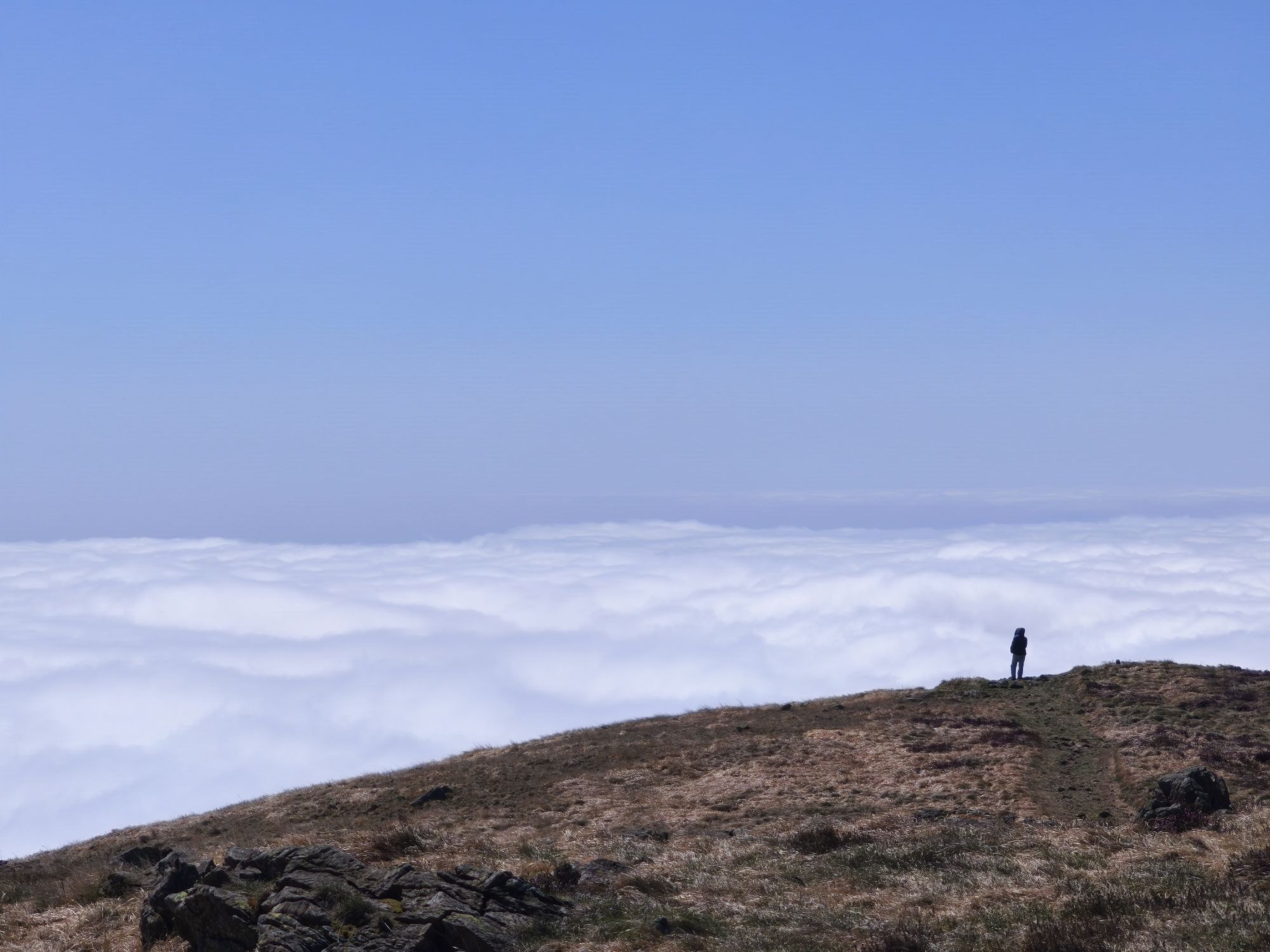
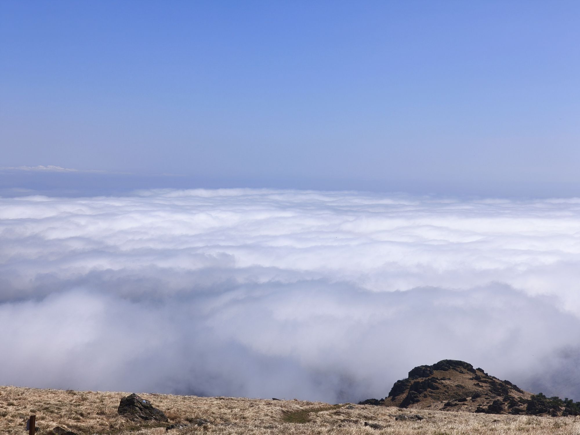
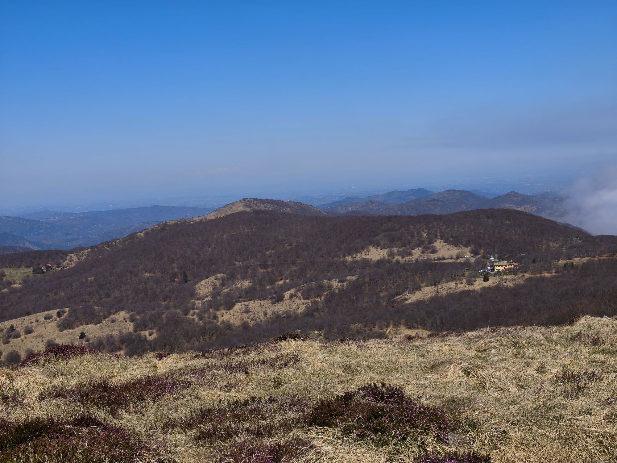
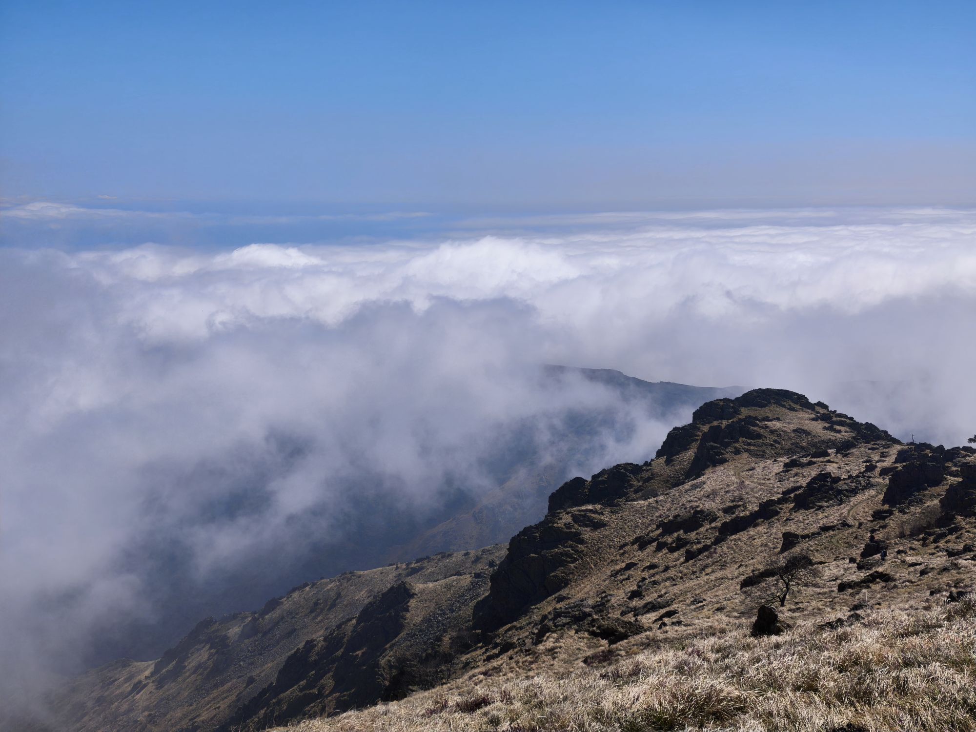
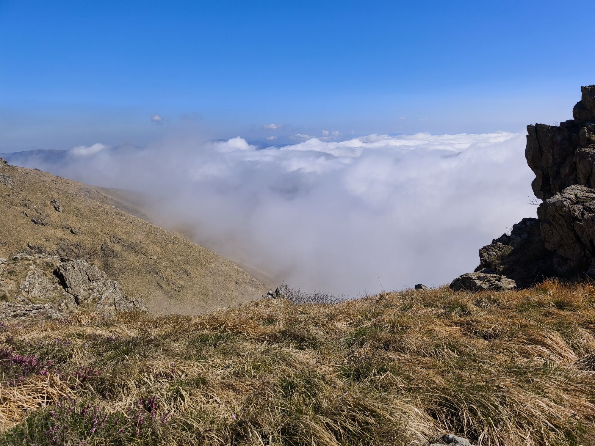
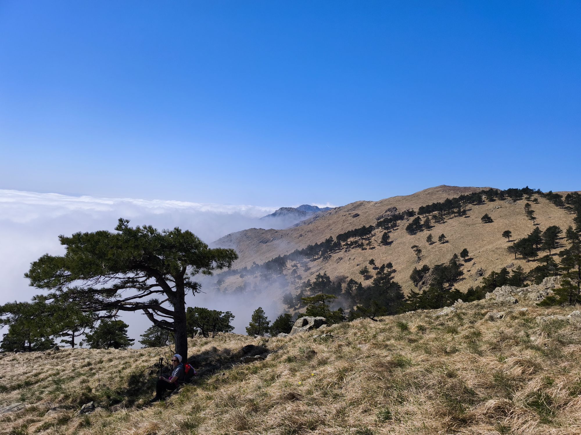
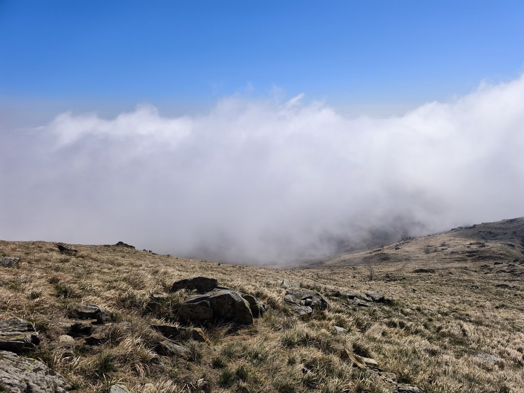
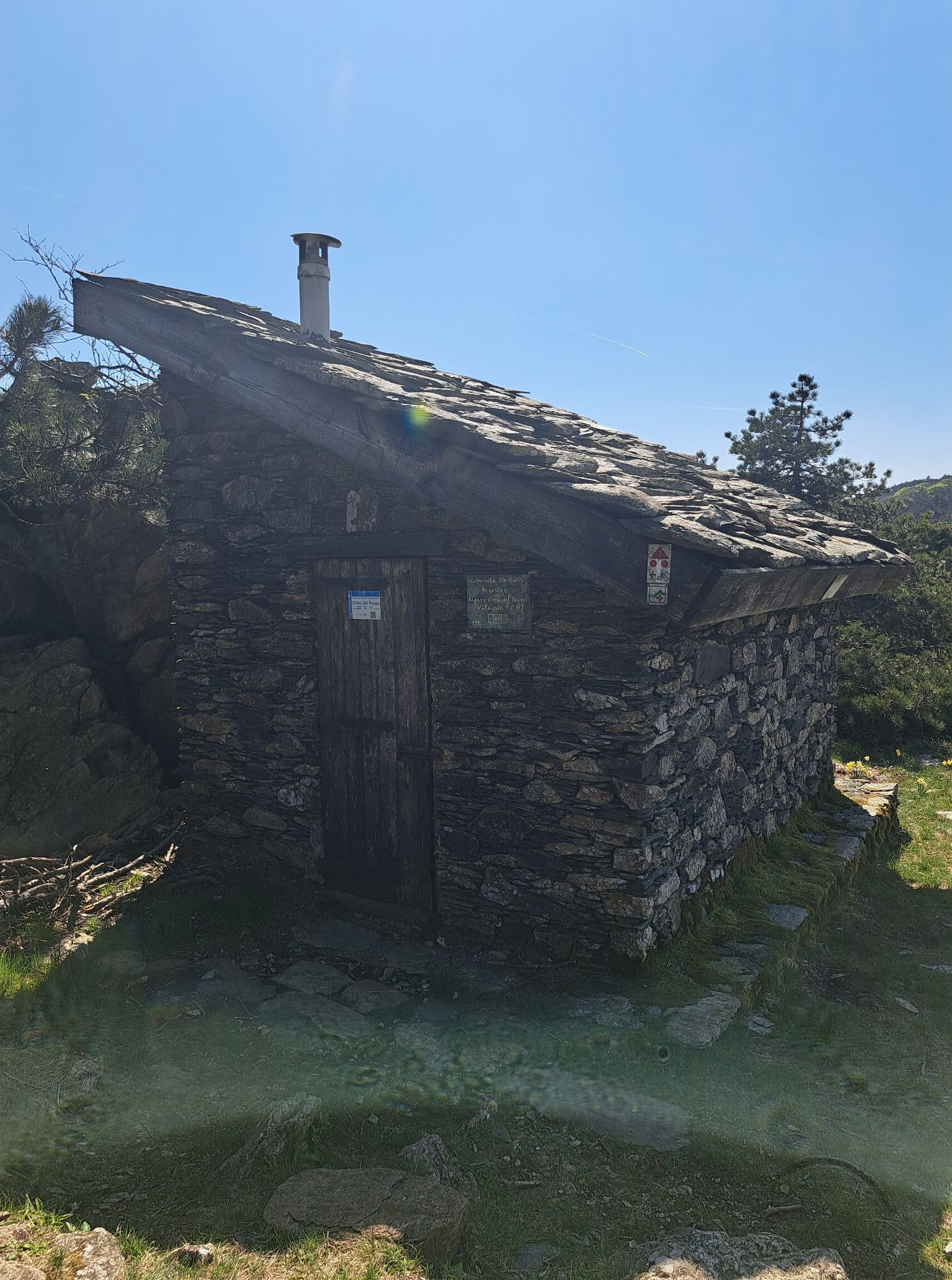
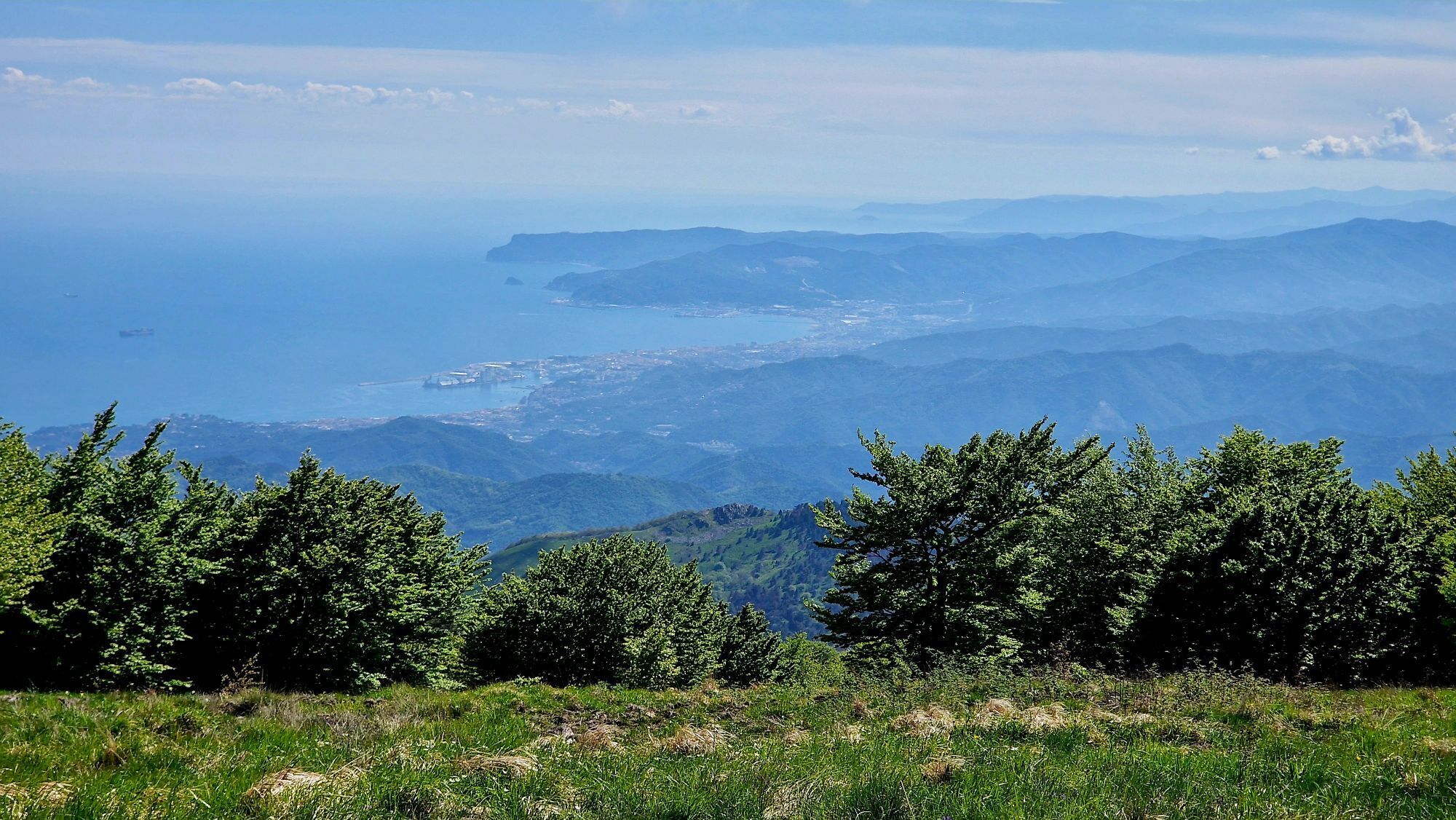
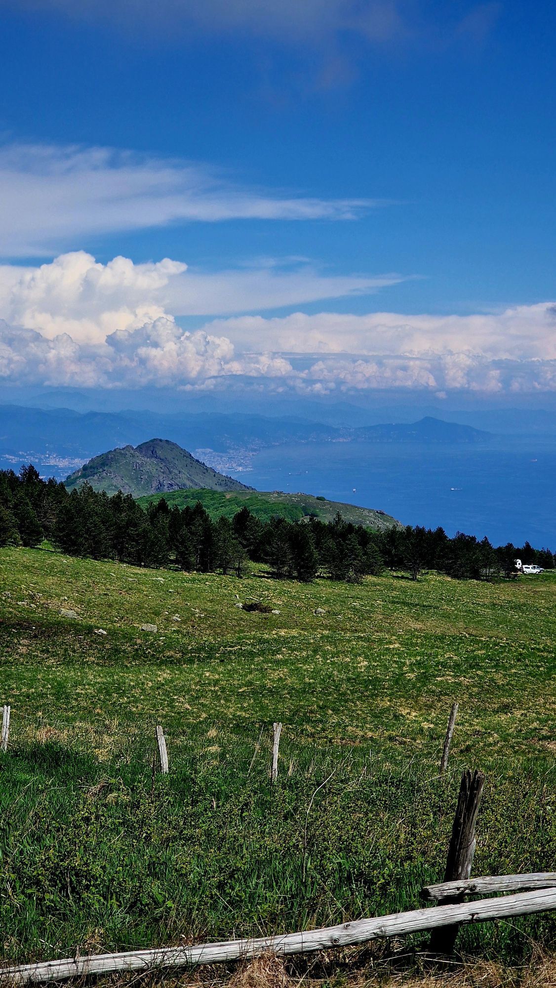
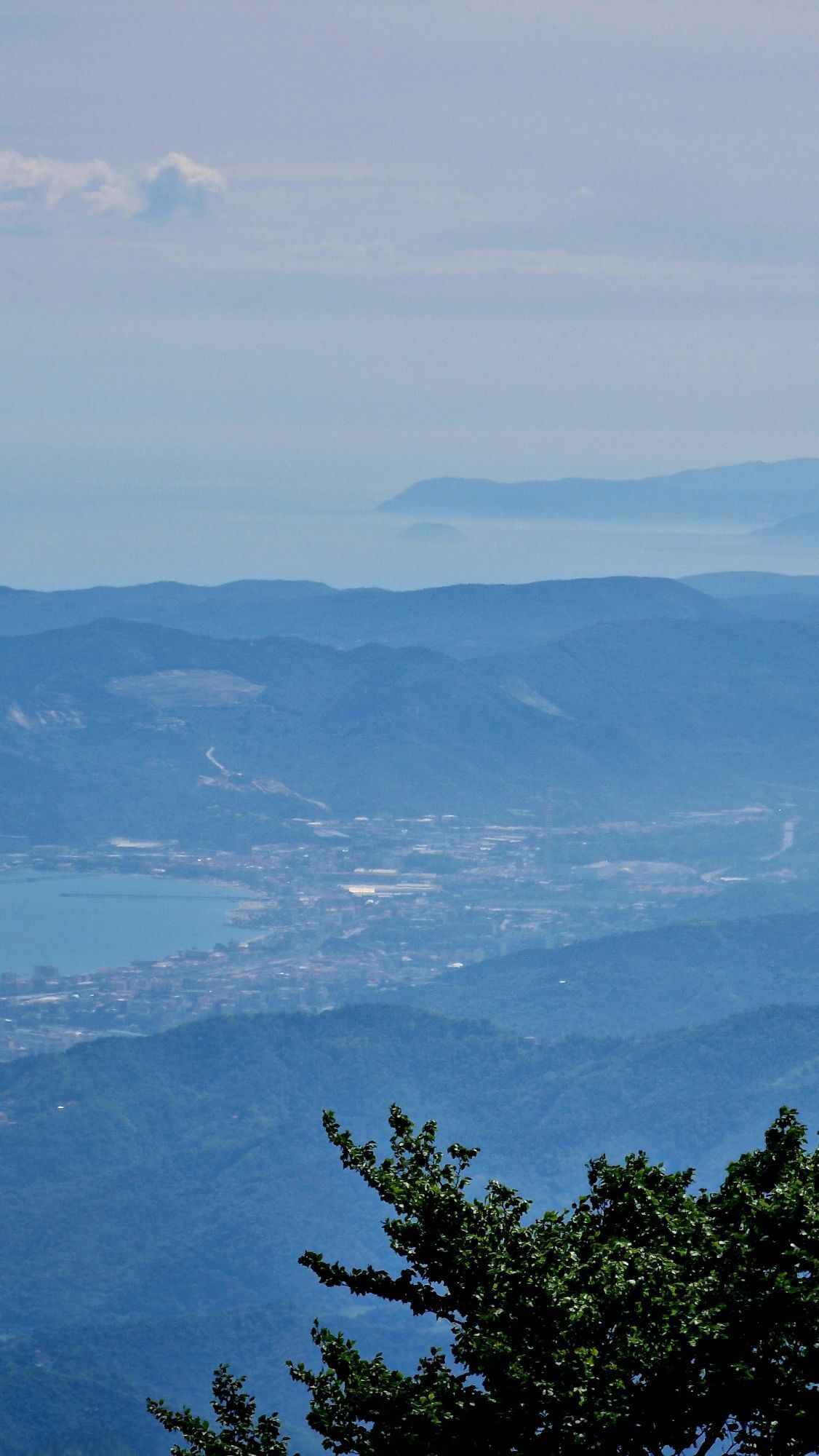
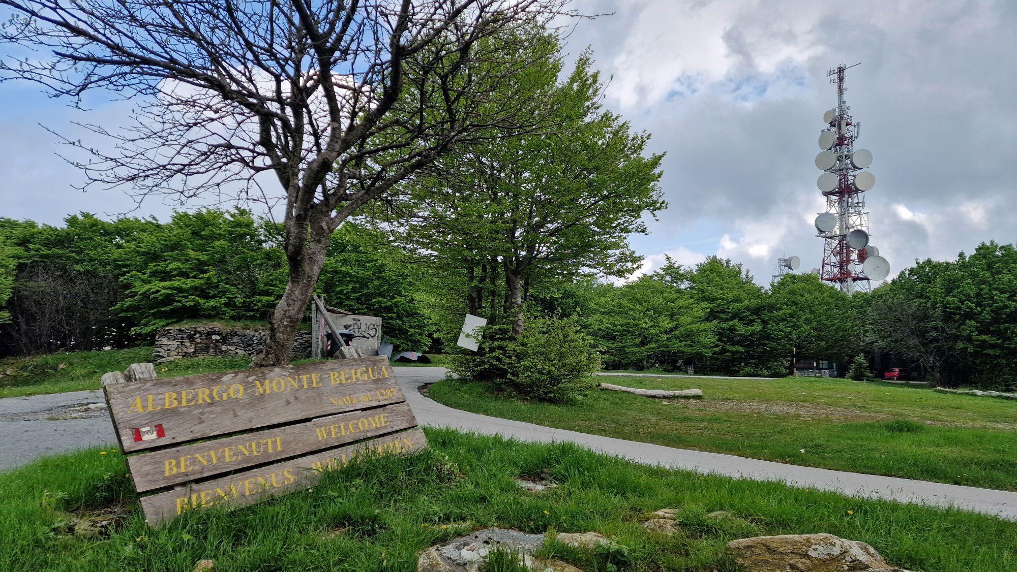
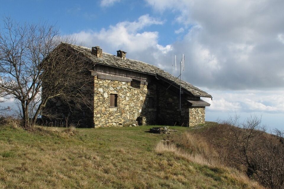
First stage. The trail marker is two full yellow triangles. The starting point is the centre of Sassello (381 m above the sea level): from piazza Concezione take via Umberto I, then turn to the right and go down along via Pozzetto. Past the last houses and follow the dirt road, then continue along the footpath rising beside the stream. You meet a dirt road (wood), follow it to the right as far as Casa Galante (471 m). Here take a steep road rising up among the trees. Turn left at the next fork as far as you meet a wide dirt road: follow it to the right (thick chestnut wood). You meet Colle Luvetto (712 m), then go to the right (wood) as far as Colle Bergnon (huge beech-trees; 832 m). After c. 1 Km you meet the abandoned Casa Bandia (905 m). Follow an old mule-track, pass the Fosso della Bandia brook, then go up in the beechwood as far as you meet the track of the “Alta Via dei Monti Liguri” (High Way of Ligurian Mountains, AVML). Turn to the left: from here you have to follow the AVML for c. 13 Km. Past the summit of Monte Beigua (tv repeters; 1287 m), go down as far as Pra Riundu (1110 m). Here you find the Refuge of Pratorotondo and you can stay overnight (info@rifugiopratorotondo.it; +393479798143). Second stage. During the next day you follow eastwards the AVML: you visit one of the most spectacular and panoramic places of the whole Liguria. You pass not far from the Monte Rama and Monte Argentea summits: it's possible to reach theese points with a 15 minutes deviations on the right. Past Monte Argentea the itinerary is almost along the watersheed as far as Passo Vaccaria (1115 m). Here the track of AVML turns left but you continue to follow the watersheed and, after a short stretch, you reach the Monte Reixa (1183 m). From here you take to the right the footpath with a red X sign (you have to follow it as far as the arrival point, Voltri). Go down (meadowland) as far as the Passo della Gava (752 m). From here rise in the rocky environment of Passo Tardie (860 m) and "Rocche du Mapertusu". Finally an other pass (ex-customs house) lead to the genoese slope, after the valleys of Arenzano. At the first you go down in the chestnut-wood and after in the mediterrenean shrubland. Reach Crevari (152 m) surrounding by olive groves and kitchen-gardens. From this nice village overhanging the Genoa's Gulf go down along mule-tracks and staircases as far as Voltri, where you can enjoy a swim or...at least cool off your feet!

by bus from Savona to Sassello; bus n° 18 from Savona to Varazze, then take bus n° 29 from Varazze to Sassello (www.tpllinea.it).
from Albisola motorway exit (A10 Genova-Ventimiglia) turn left and follow the road SP334 to Sassello (signs); or from Acqui Terme drive southwards, rise the Val d'Erro as far as Sassello.
Nature and Landscape * * * * * * Family * * * Gourmet * * * Culture * * * *
Rutas populares en los alrededores
-
SV_28 Ruta en bicicleta y a pie de Varazze a Arenzano
Senderismo 10,4 km -
AVML Etapa nº 20: Prato Rotondo - Paso de Faiallo
Senderismo 9,08 km -
5,0
Albissola - Varazze 05.10.2024
luzSenderismo 17,1 km -
Beigua 2 Varazze Sassello (Varazze)
pesadoMountainbike 68,2 km -
3,0
SV_02 Ring path of Foresta Deiva
Senderismo 12,0 km -
Sentiero anello di Bric Berton - Sentiero 536 in camminata
Camino de peregrinación 8,05 km -
Sentiero anello di Bandita - Sentiero 561 in camminata
Camino de peregrinación 18,9 km -
Sentiero anello di Olbicella - Sentiero 558 in camminata
Camino de peregrinación 13,0 km -
Sentiero "Via del Monte Rotondo" - Sentiero 554 in mountain bike
Mountainbike 3,83 km -
Sentiero anello di Bandita - Sentiero 561 in mountain bike
Mountainbike 18,9 km
Senderismo y rastreo


No se pierda las ofertas y la inspiración para sus próximas vacaciones
Su dirección de correo electrónico se ha añadido a la lista de correo.