


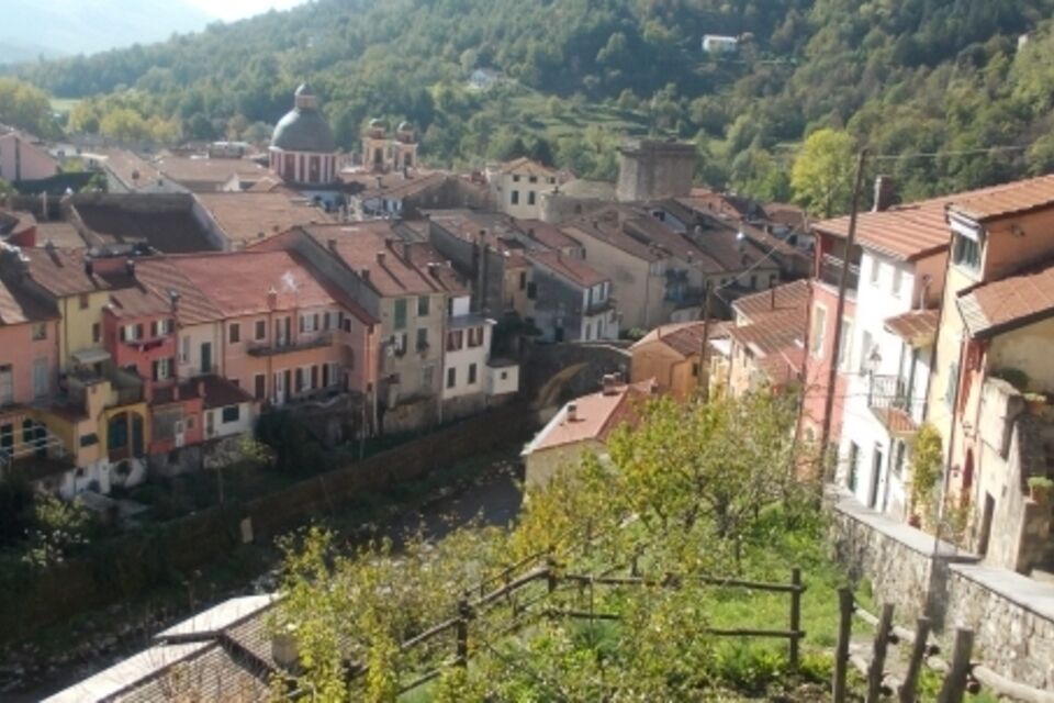
SP_09 Anello di Varese Ligure
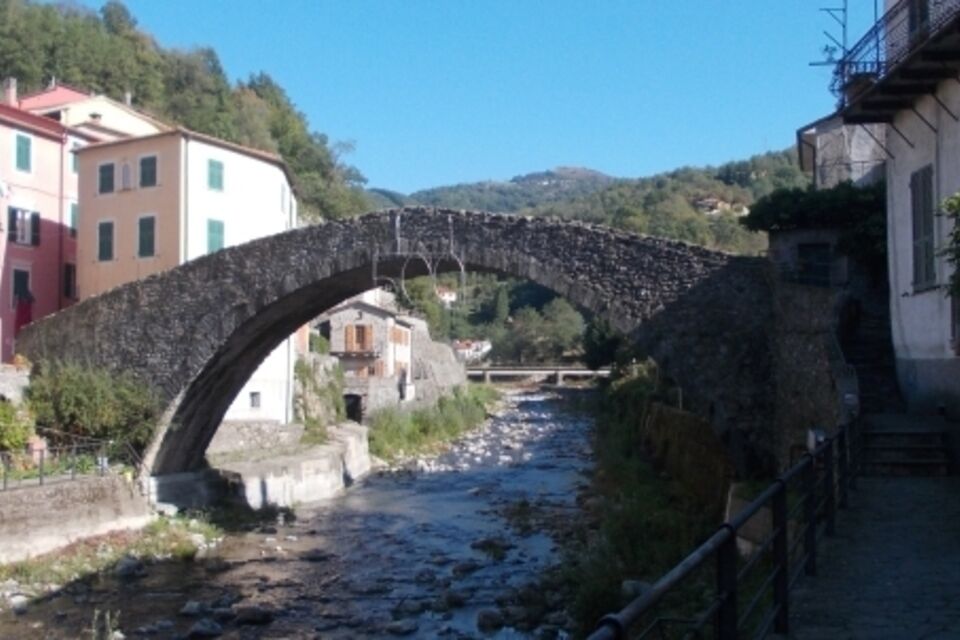
from the square in front of the castle (353 m) walk along the provincial road as far as the Crovana Stream (tributary of the Vara River). Following sign trail 111 you walk on the narrow pavement along...
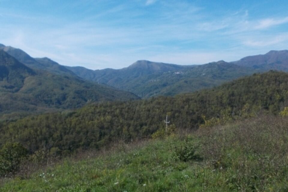
from the square in front of the castle (353 m) walk along the provincial road as far as the Crovana Stream (tributary of the Vara River). Following sign trail 111 you walk on the narrow pavement along the left side as far as the humpback bridge ”del Grecino” which you cross. Here starts the climb on a road which soon becomes paved and, following the white and red trail sign you walk through gardens, pastures and orchards. Just before the hamlet of Forcelle (752 m) turn off the paved road and follow a mule-track. Walking uphill, looking towards the west you see the outline of Monte Zatta, with its typical flat summit covered with beech trees and Monte Penna. After 2.5 Km you arrive at Passo Chiapparino (994 m; pass) located on the “Alta Via dei Monti Liguri” (High Way of Ligurian Mountains, AVML). From here you change direction, proceeding eastwards. After Passo di Pianpintardo you reach and walk beside a huge paleo-landslide known as “Libia di Pecorara”. Carry on walking thorough pastures and beech woodls you reach Passo Cento Croci (1107 m; pass). Afer a short stretch in the wood you reach a little paved road which leads to Passo Caranza. Once you bypass a little ridge four wind mills of Passo della Cappelletta stand in front of you. This is the first wind farm in Liguria. From Passo Caranza Pass, as indicated by the AVML trail sign, you go southwards, walking downhill on a little road which leads to Caranza. From Caranza the bus (www.atcesercizio.it) will take you back to Varese Ligure.

by bus from La Spezia through Borghetto Vara (autolinee ATC - www.atcesercizio.it) or from Sestri Levante (autolinee ATP - www.atpesercizio.it) reach Varese Ligure. Return trip from Caranza with autolinee ATC.
from Brugnato-Borghetto motorway exit (a12 Genova-Livorno) follow the signs for Varese Ligure.
Nature and Landscape * * * * Family * * * Gourmet * * * * * * Culture * * * * *
Rutas populares en los alrededores
-
5,0
GE_04 Anillo Bargone
Senderismo 9,84 km -
5,0
Etapa AVML nº 34: Paso de Spingarda - Paso de Bocco
Senderismo 12,3 km -
GE_03 Ring path of Zatta Mount
Senderismo 14,4 km -
GE_01 Santuario de Velva - Monte Alpe di Maissana
pesadoSenderismo 14,4 km -
SP_16 Valle de Lagorara
Senderismo 11,9 km -
Trail no. 35: Passo del Bocco - Colla Craiolo
Senderismo 7,78 km -
SP_03 Passo della Cappelletta – Monte Góttero – Foce dei Tre Confini – Passo della Cappelletta
Senderismo 11,2 km -
Etapa AVML nº 38: Paso de Cappelletta - Paso de Calzavitello
Senderismo 12,5 km -
Etapa AVML nº 37: Passo di Cento Croci - Passo della Cappelletta
Senderismo 5,02 km -
GE_11 Sendero Ofiolítico y Monte Aiona
Senderismo 11,2 km

Senderismo y rastreo


No se pierda las ofertas y la inspiración para sus próximas vacaciones
Su dirección de correo electrónico se ha añadido a la lista de correo.