





SP_02 I monti Dragnone e Castellaro
From the crossroad di Pieve di Zignago (632 m) follow a road toward the north-east ridge (red–white trail marker). At the next crossroad (747 m), follow to the right a road going up on the south–west ridge...
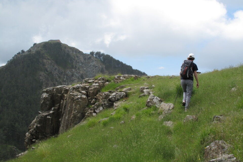
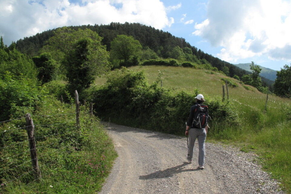
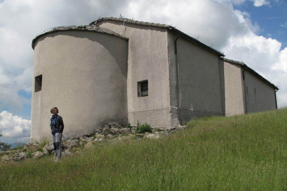
From the crossroad di Pieve di Zignago (632 m) follow a road toward the north-east ridge (red–white trail marker). At the next crossroad (747 m), follow to the right a road going up on the south–west ridge of Monte Dragnone (1008 m; probably Monte Dragnone was an important summit since past times because of its position it was considered a sacred top. With the Christianity on the top it was built a church. The place name may be derives from “Drago” =dragon). From here go down along a mule track (Via Crucis), till the Foce del Castellaro (865 m), where there is a chapel available as a shelter. Meet the red -white mark footpath. Follow for a short stratch the mule track to Casa Castellaro, then follow to the left a track to reach a panoramic rocky top of Monte Castellaro (946 m; ) where we can still see the rests of old fortresses. Descent: from the Monte Castellaro go back with the same way till Foce del Castellaro. At the pass follow to the right the old mule track wich turn westward (maritime pines and rocks from a huge ancient landslide). Follow go down (wood) till the dirt road at 747 m. Follow it to come back to the starting point.


by bus (autolinee ATC La Spezia; www.atcesercizio.it) from La Spezia to Pieve di Zignago.
by car: from Brugnato-Borghetto di Vara motorway exit follow for Rocchetta di Vara, where take to the left the road going up to Pieve di Zignago.
Nature and Landscape * * * * Family * * * * Gourmet * * * Culture * * * * * *
Rutas populares en los alrededores
-
SP_23 Madrignano - Calice al Cornoviglio
Senderismo 11,5 km -
SP_03 Passo della Cappelletta – Monte Góttero – Foce dei Tre Confini – Passo della Cappelletta
Senderismo 11,2 km -
SP_17 Ring path of Cassana
Senderismo 13,0 km -
Pontasco Cassana
pesadoMountainbike 45,0 km -
AVML Etapa 40: Paso de Rastello - Valico di Casoni
Senderismo 9,97 km -
Etapa AVML nº 38: Paso de Cappelletta - Paso de Calzavitello
Senderismo 12,5 km -
AVML Etapa 41: Valico di Casoni - Paso de Alpicella
Senderismo 7,62 km -
Etapa AVML nº 39: Paso de Calzavitello - Paso de Rastello
Senderismo 4,84 km -
Anillo largo
medioMountainbike 21,8 km -
Anillo corto 1
medioMountainbike 17,2 km
Senderismo y rastreo


No se pierda las ofertas y la inspiración para sus próximas vacaciones
Su dirección de correo electrónico se ha añadido a la lista de correo.





