


Hochstadel via the Rudnigweg


Fotos de nuestros usuarios
-

 © Josef AichholzerCreado el 20.09.2025
 -
 © Josef AichholzerCreado el 20.09.2025
 -
 © Josef AichholzerCreado el 20.09.2025
 -
 © Josef AichholzerCreado el 20.09.2025
 -
 © Josef AichholzerCreado el 20.09.2025
 -
 © Josef AichholzerCreado el 20.09.2025
 -
 © Josef AichholzerCreado el 20.09.2025
 -
 © Josef AichholzerCreado el 20.09.2025
 -
 © Josef AichholzerCreado el 20.09.2025
 -
 © Christian GanderCreado el 13.08.2025
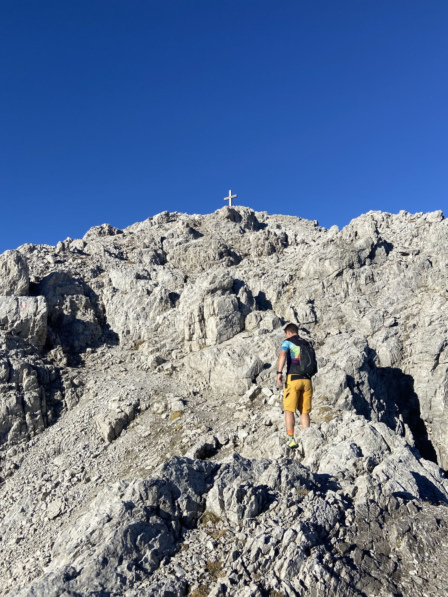


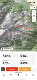
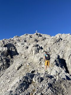
From Hochstadel bothy at 1780m proceed from the car park in a westerly direction through Unholdalm to the junction at the fountain, where steep path No. 218 (Rudnigweg) proceeds up to the summit of the...
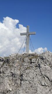
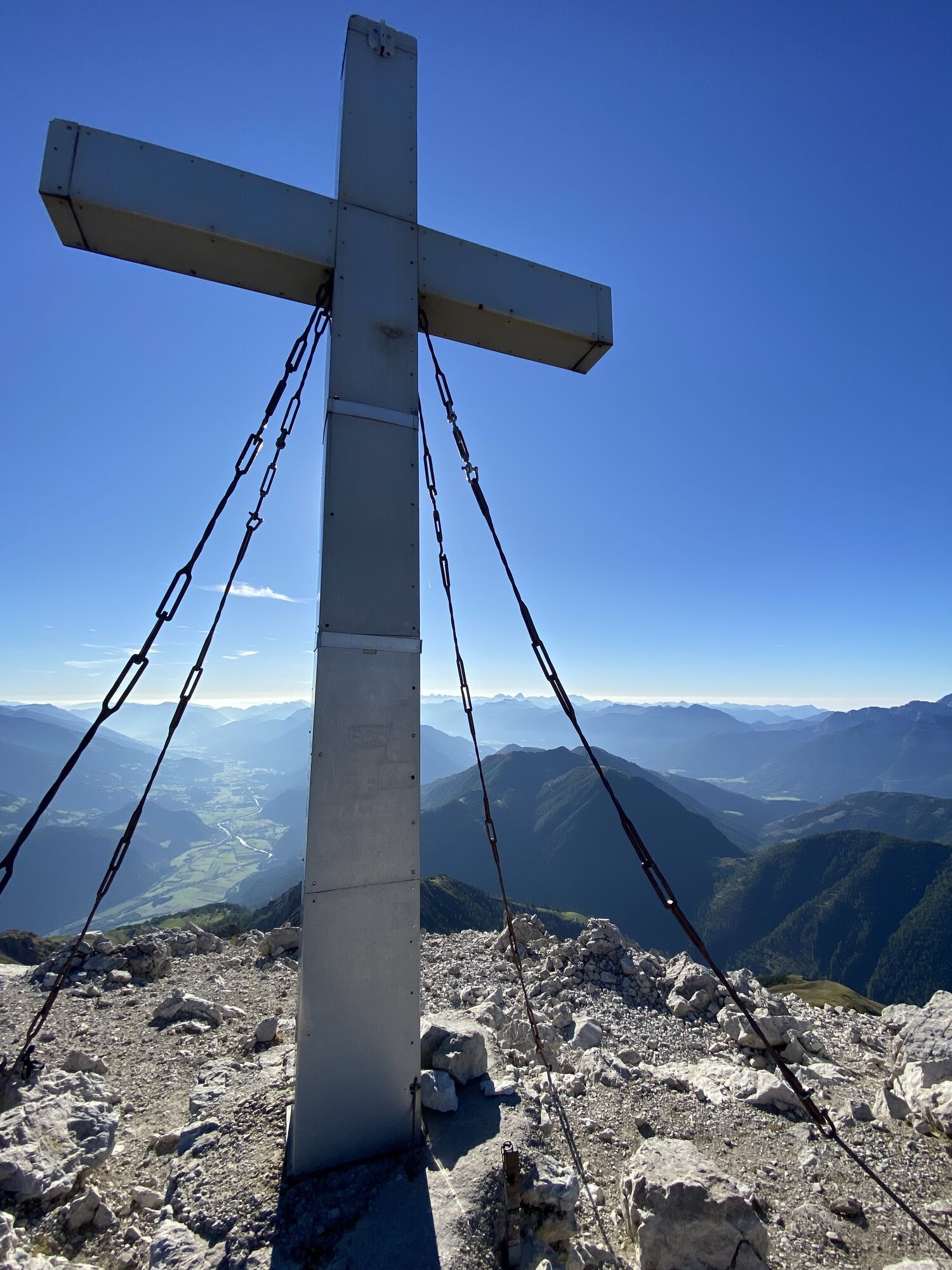
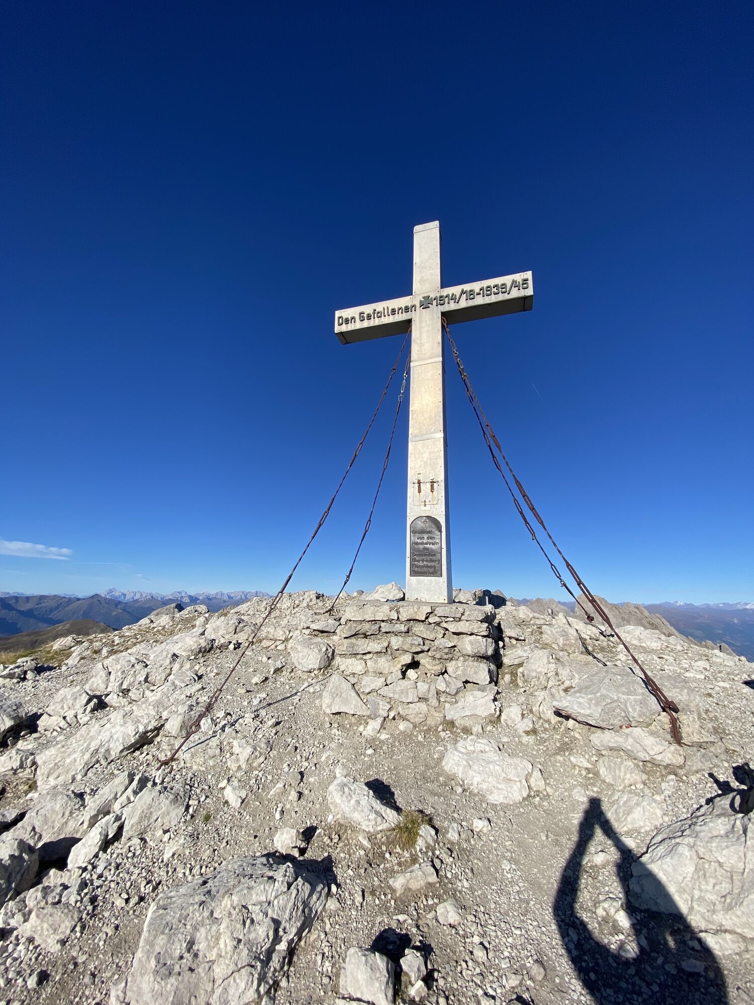
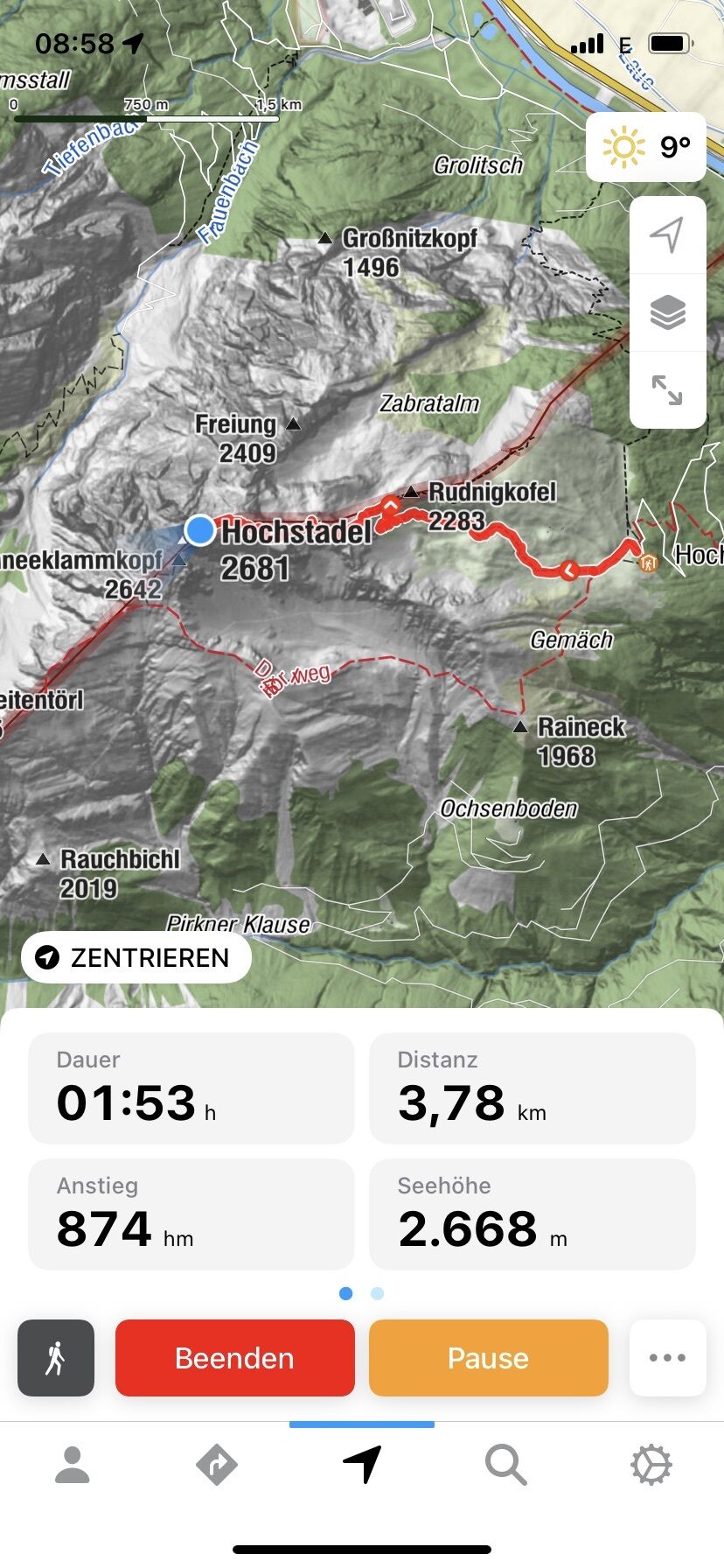
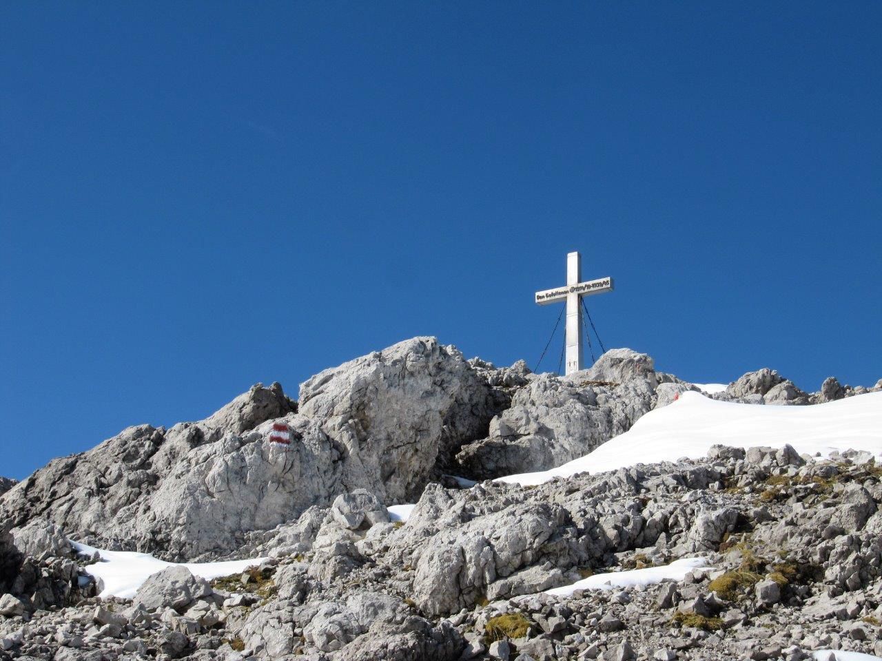
From Hochstadel bothy at 1780m proceed from the car park in a westerly direction through Unholdalm to the junction at the fountain, where steep path No. 218 (Rudnigweg) proceeds up to the summit of the Hochstadel at 2681m.
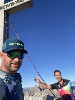
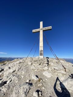
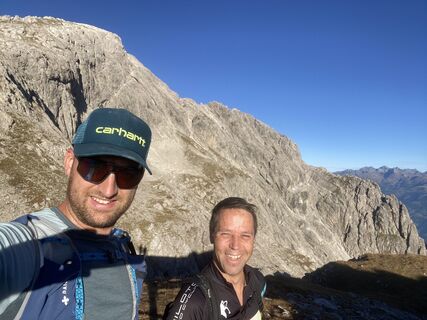
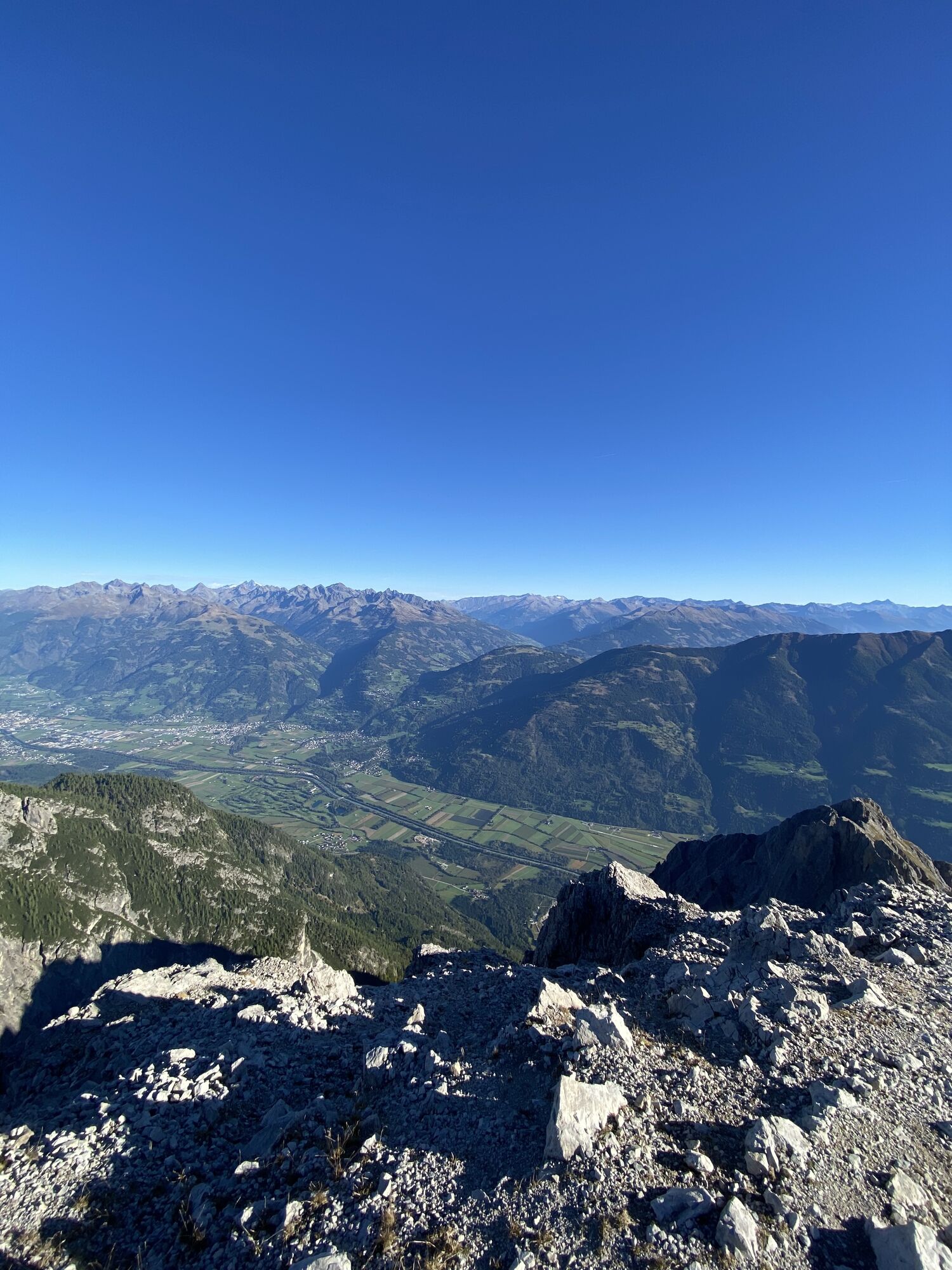
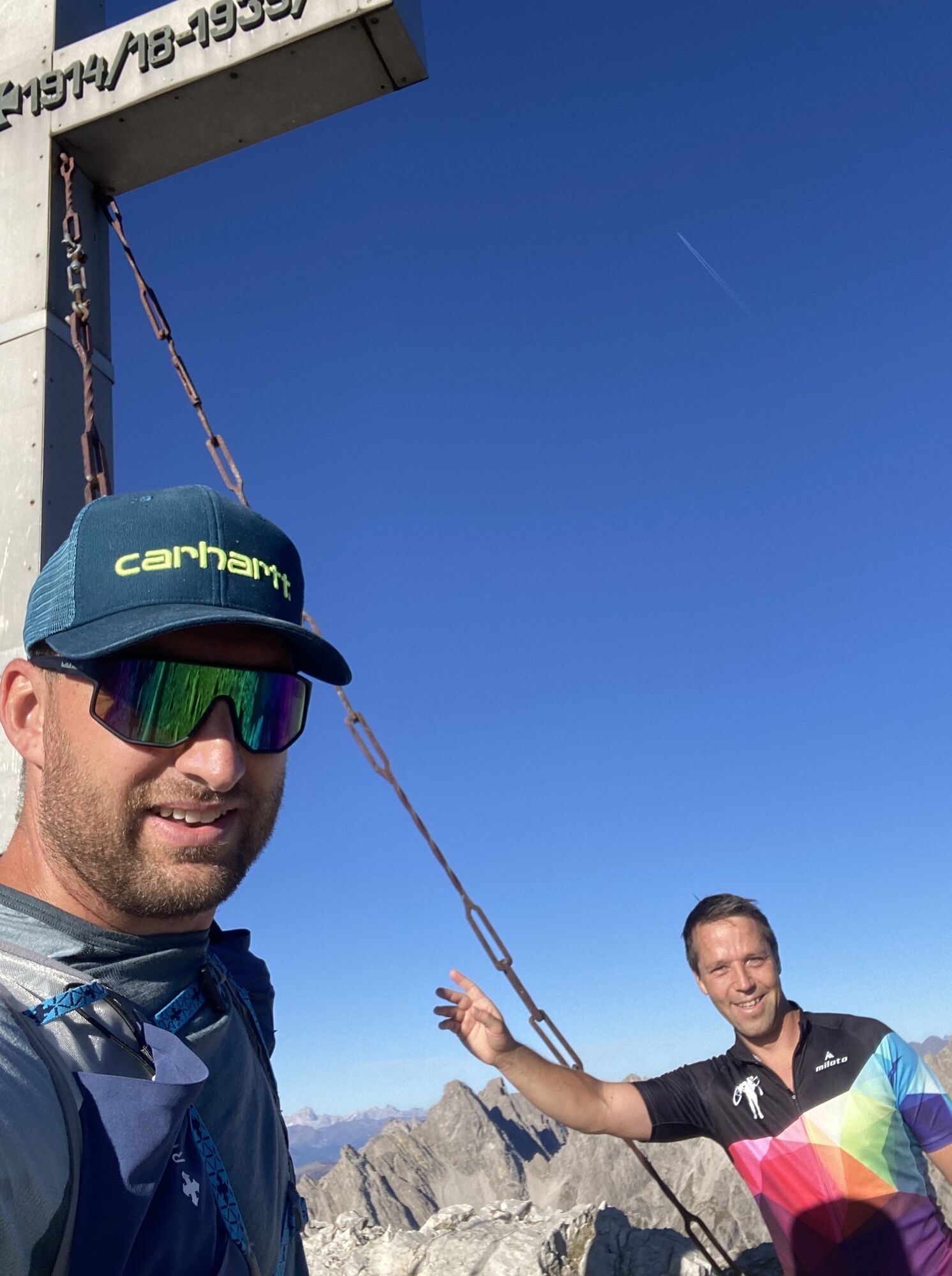
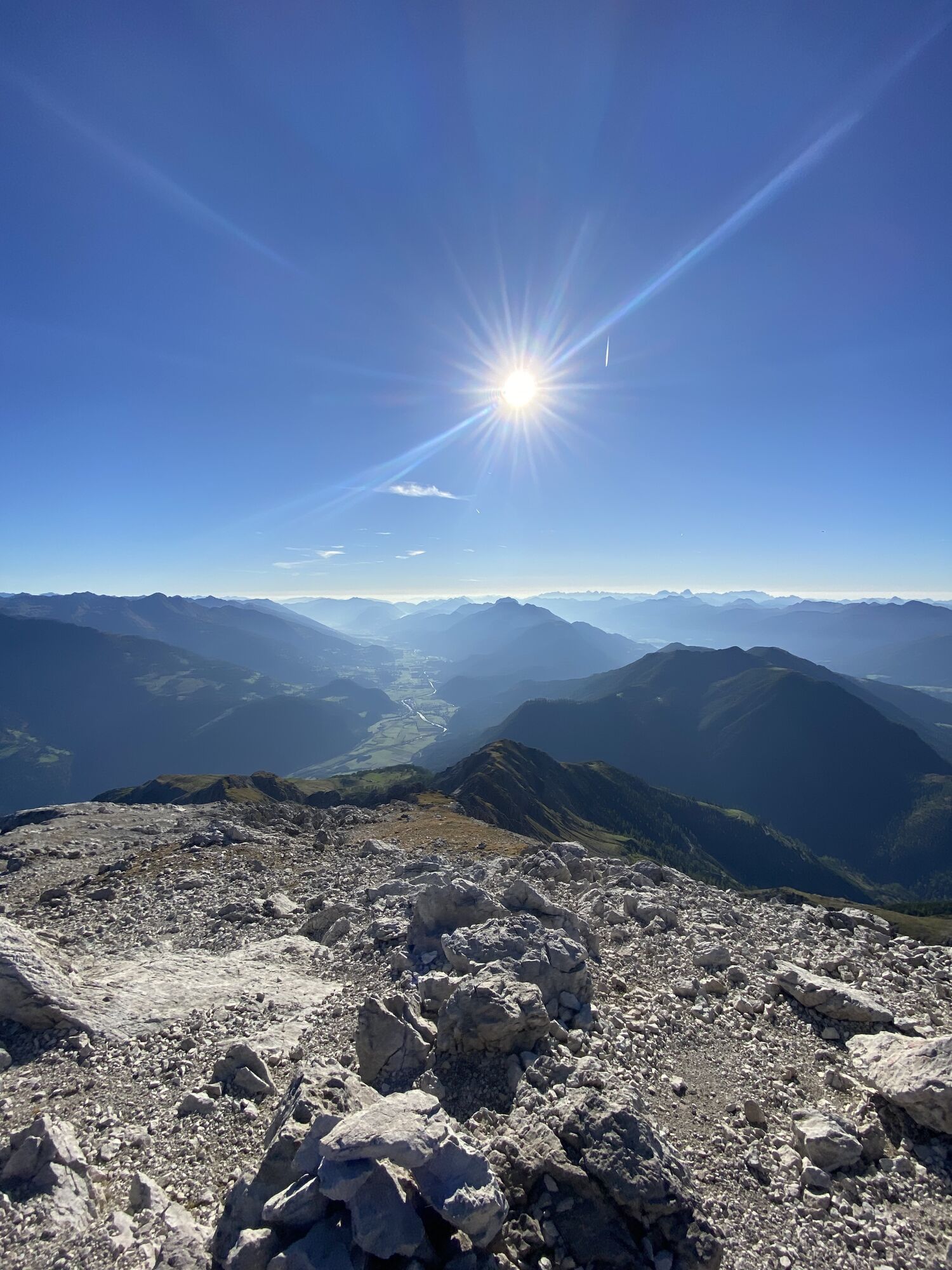
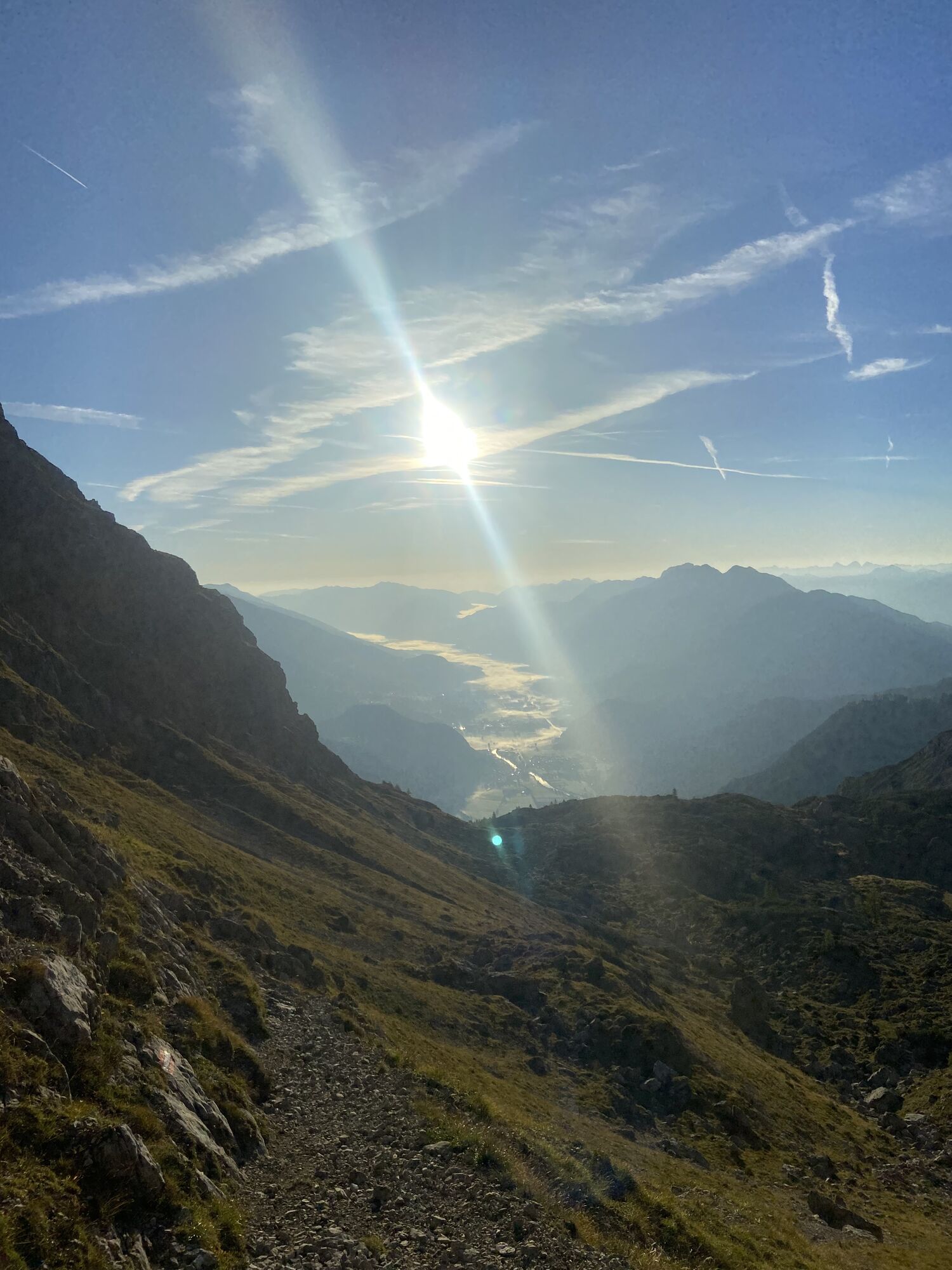
The Hochstadel is a summit in the Lienz Dolomites which is relatively easy to tackle. At the Hochstadel summit, a breath-taking panoramic view across Oberes Drautal, Gailtal, the Lienz valley floor, through to the Glockner-, Venediger- and Kreuzeck groups, the Lienz Dolomites, Gailtal Alps and the Carnic Alps in the south, awaits. The panoramic view deems it worthy of its nickname, "King of Oberes Drautal’.

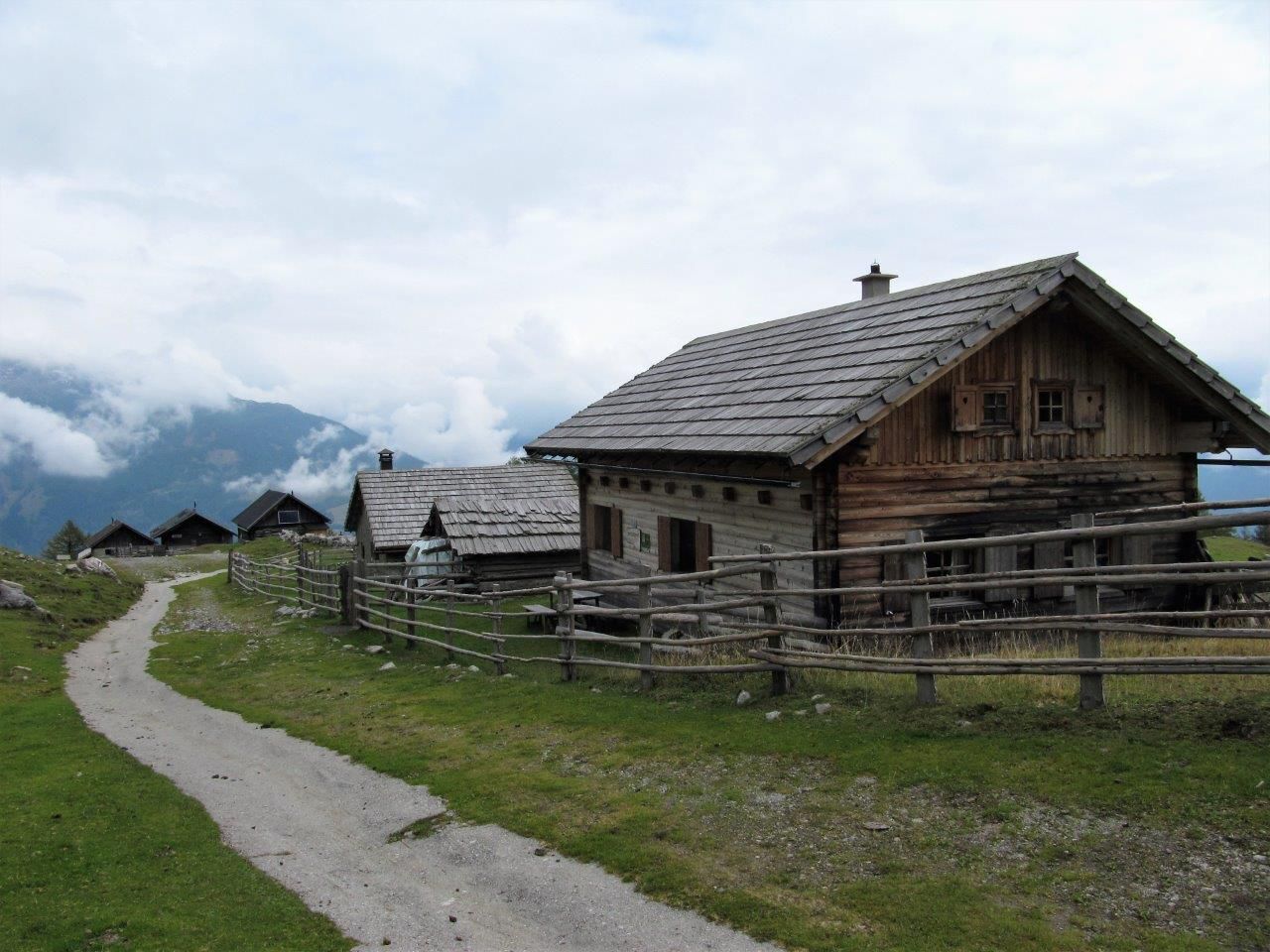
Mit dem Hüttentaxi zum Hochstadel Schutzhaus.
Rutas populares en los alrededores
-
4,8
Lienzer Dolomiten-Lasertörl
medioSenderismo 13,2 km -
5,0
Recorrido Ederplan desde el aparcamiento de Stronach
medioSenderismo 7,19 km -
4,2
Garganta de Pirkner
medioVía ferrata 1,99 km -
4,7
Anna Schutzhaus am Ederplan
medioSenderismo 2,76 km -
3,9
Excursión a la cumbre del Hochstadel
medioSenderismo 7,83 km -
2,6
Lienzer Dolomiten: Karlsbader Hütte und Laserzwand
luzSenderismo 5,91 km -
5,0
Dolomitenhütte, Rudl-Eller-Weg / Steig, Piccola Ferrata, Laserzsee, Karlsbaderhütte, Dolomitenhütte, Tristach, Österreich
medioSenderismo de montaña 11,1 km -
3,2
Straßkopf
medioEsquí de travesía 10,6 km -
4,5
Lienzer Hütte im Debanttal
luzE-MTB 39,5 km -
4,6
Obergail - Alpe de Obergail - Lago de Obergail - Refugio Enderberg - Fuente de Salud y Paz - Sendero Circular Madonna - Obergail
medioSenderismo 11,4 km
Senderismo y rastreo


No se pierda las ofertas y la inspiración para sus próximas vacaciones
Su dirección de correo electrónico se ha añadido a la lista de correo.