


Lahnradweg 1st stage upstream Biedenkopf - Feudingen/Lahnquelle
Biedenkopf, with its castle towering over the town, is the starting point for this sporty stage of the Lahn Cycle Path. Up the Lahn Bad Laasphe. Situated on the south side of the Rothaargebirge mountains,...
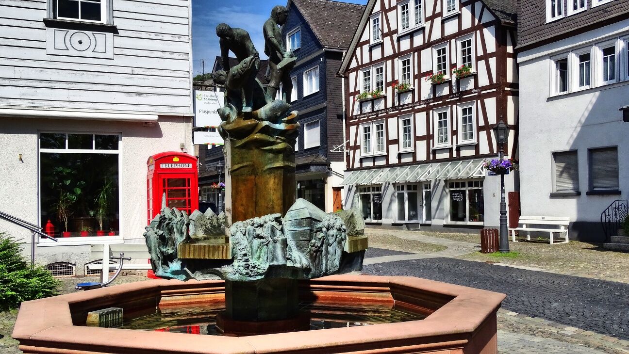
Biedenkopf, with its castle towering over the town, is the starting point for this sporty stage of the Lahn Cycle Path. Up the Lahn Bad Laasphe. Situated on the south side of the Rothaargebirge mountains, Bad Laasphe will delight you with its old town centre and pretty half-timbered facades. Feudingen offers an alternative end point for the Lahnradweg. Here you will not only find the railway station closest to the source, but also numerous cosy places to stay overnight. But do you really want to miss the source of river Lahn? From Feudingen, you cycle through the forest landscape along the still very young Lahn up to the Lahnhof! If you've made it this far, you've really earned yourself a cyclist's reward!
From Biedenkopf, follow the signs for the Lahnradweg and cycle along the Lahn. Shortly before Wallau, change sides of the Lahn. Now you cycle through Wallau and cross the railway tracks and the main road at Amalienhütte. The cosy half-timbered town of Bad Laasphe has been a Kneipp health resort since 1960 and offers a number of places to stay and eat. Wittgenstein Castle greets you above the town. You now cycle to Feudingen via Wahlbachsmühle. Here you briefly change sides of the Lahn again and cross Feudingen. After Feudingen, you cross the Lahn once again and cycle via Volkholz up to Jagdhof Glashütte. You reach the idyllically situated source of the Lahn on a path that is initially paved and later unpaved. Here the Lahn rises in a pond at the Gasthof Lahnhof.
ADFC regional map Lahntal scale 1:75,000 - BVA BikeMedia GmbH - 4th edition 2021 ISBN 978-3-96990-027-7 - 9,95 €
Trekking or touring bike (e-bike or conventional), spare inner tube and tools, water bottle and clothing suitable for the weather.
The Lahnradweg runs mainly on cycle paths, quiet side roads and country lanes. However, please observe the road traffic regulations and show consideration for other cyclists, agricultural vehicles and pedestrians.
Take the A45 motorway (AS-Siegen or AS-Olpe), from there to the source of river Lahn, to Feudingen or to Bad Laasphe.
Reachable by train: Feudingen (railway station closest to the source), Erndtebrück, Bad Laasphe and Biedenkopf.
The area from the source of the Lahn (Feudingen to Bad Laasphe-Niederlaasphe) is in NRW (Zweckverband Personennahverkehr Westfalen-Süd) and from there in Hesse (Rhein-Main-Verkehrsverbund).
In Feudingen, the closest stop to the source, the platform is located directly on the station forecourt.
All information about travelling by public transport can be found on the railway website.
Free of charge at the Lahnhof hiking car park near the source of river Lahn.
The Kneipp treading pool in Bad Laasphe's town park revitalises tired cyclists' legs!
Rutas populares en los alrededores
-
Lahnwanderweg 03ª etapa Bad Laasphe – Biedenkopf
medioSenderismo 17,6 km -
Lahnwanderweg 01. Etapa Fuente del Lahn – Feudingen
medioSenderismo 14,3 km -
Lahnwanderweg 2ª etapa Feudingen – Bad Laasphe
medioSenderismo 16,8 km -
Sendero Lahnwanderweg, 4ª etapa río arriba Buchenau - Biedenkopf
luzSenderismo 12,5 km -
Ruta ciclista del Lahn 1. etapa río arriba Biedenkopf - Feudingen/fuente del Lahn
pesadoCiclismo 30,7 km -
Wittgensteiner Schieferpfad (Wittgenstein slate trail) - An exciting Adventure
pesadoSenderismo 13,7 km -
ROTHAARSTEIG TRAIL “Ilsepfad” (“Ilse path”)
medioSenderismo 16,0 km -
Köhlerpfad
medioSendero temático 5,17 km -
Rothaarsteig von der Ginsberger Heide zur Lahnquelle
pesadoSenderismo 19,1 km -
ÖPNV-Tour: Auf dem Rothaarsteig von Vormwald nach Feudingen
pesadoSenderismo 21,0 km
Senderismo y rastreo


No se pierda las ofertas y la inspiración para sus próximas vacaciones
Su dirección de correo electrónico se ha añadido a la lista de correo.