






Prätschli - Innerarosa
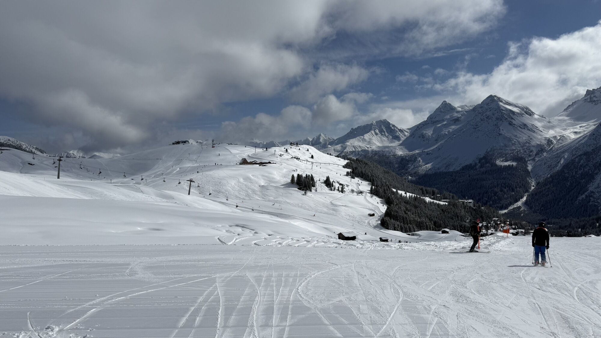
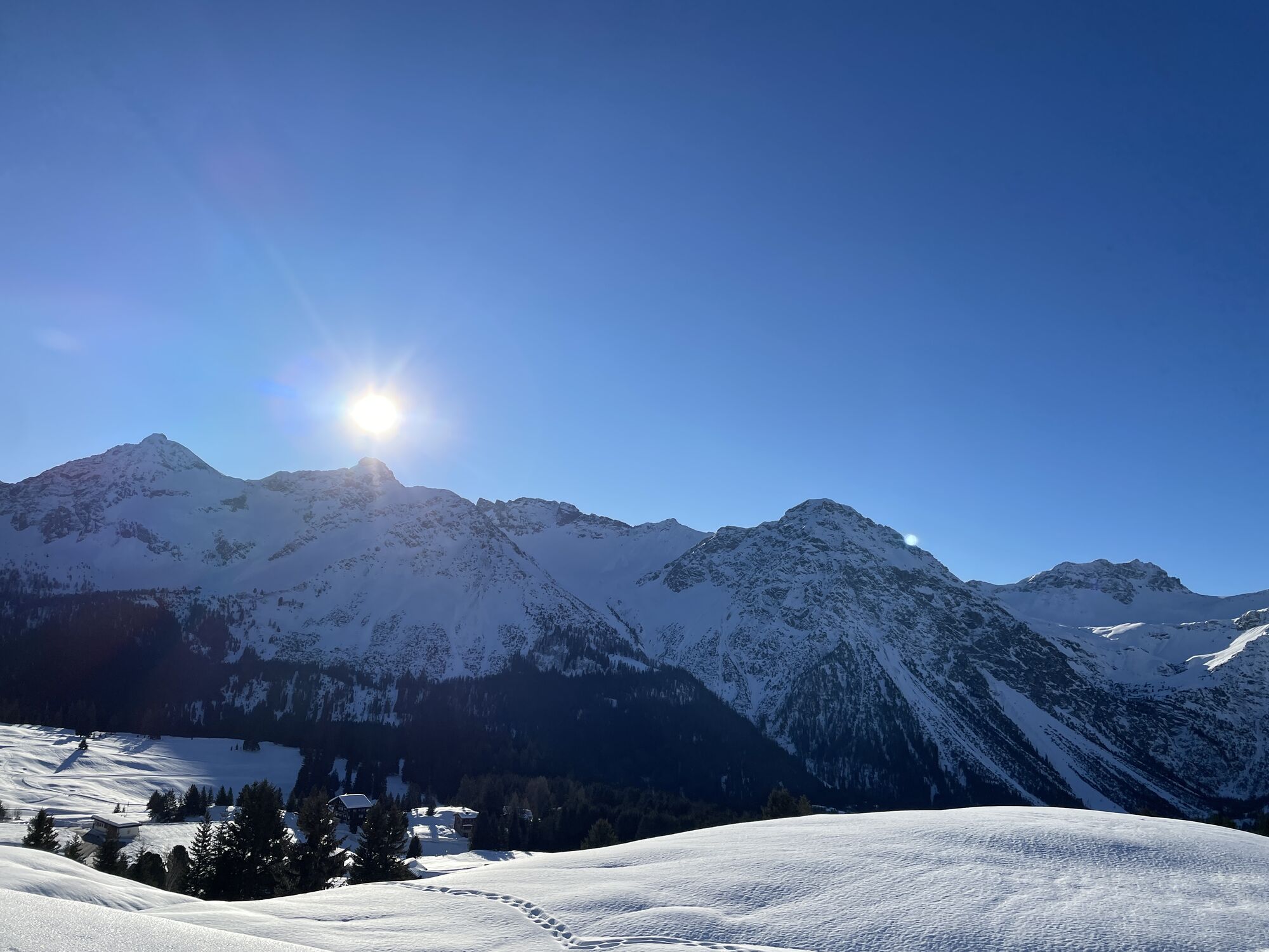
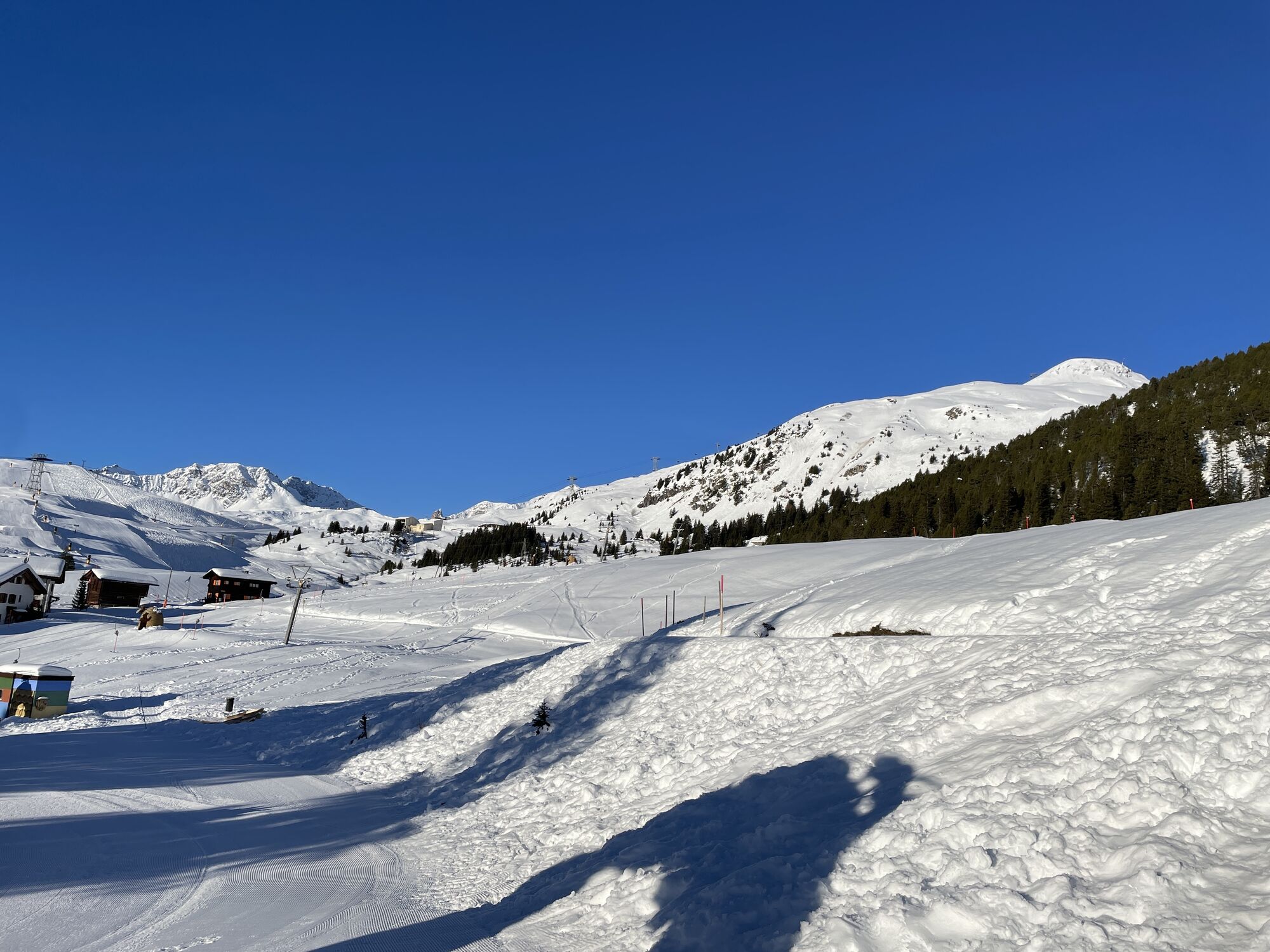
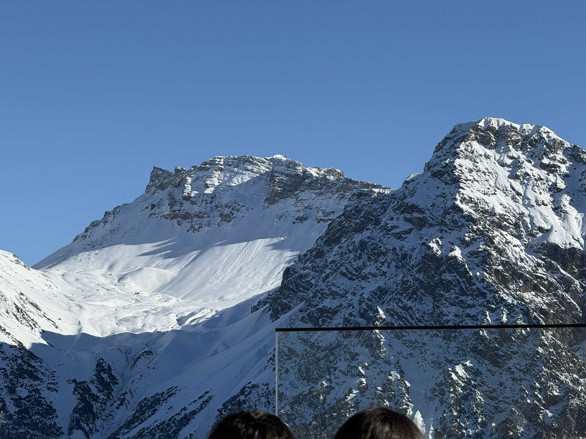
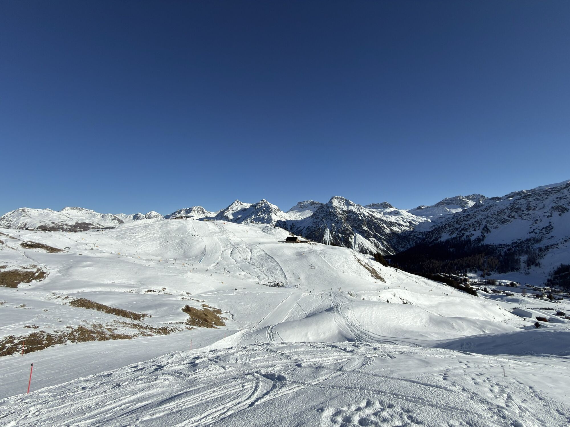
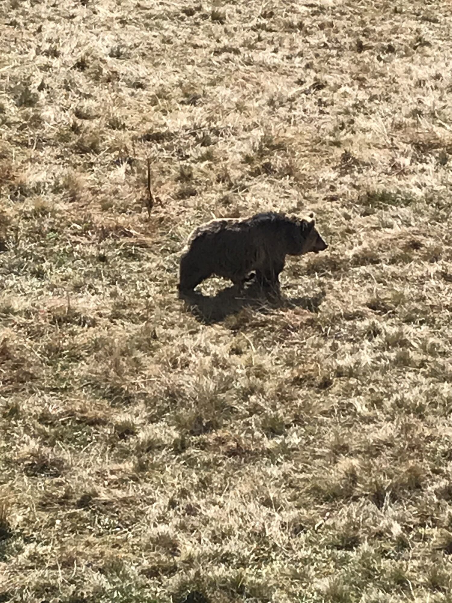
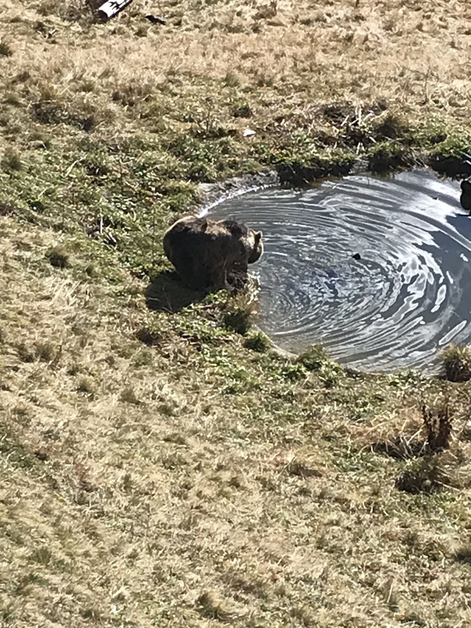
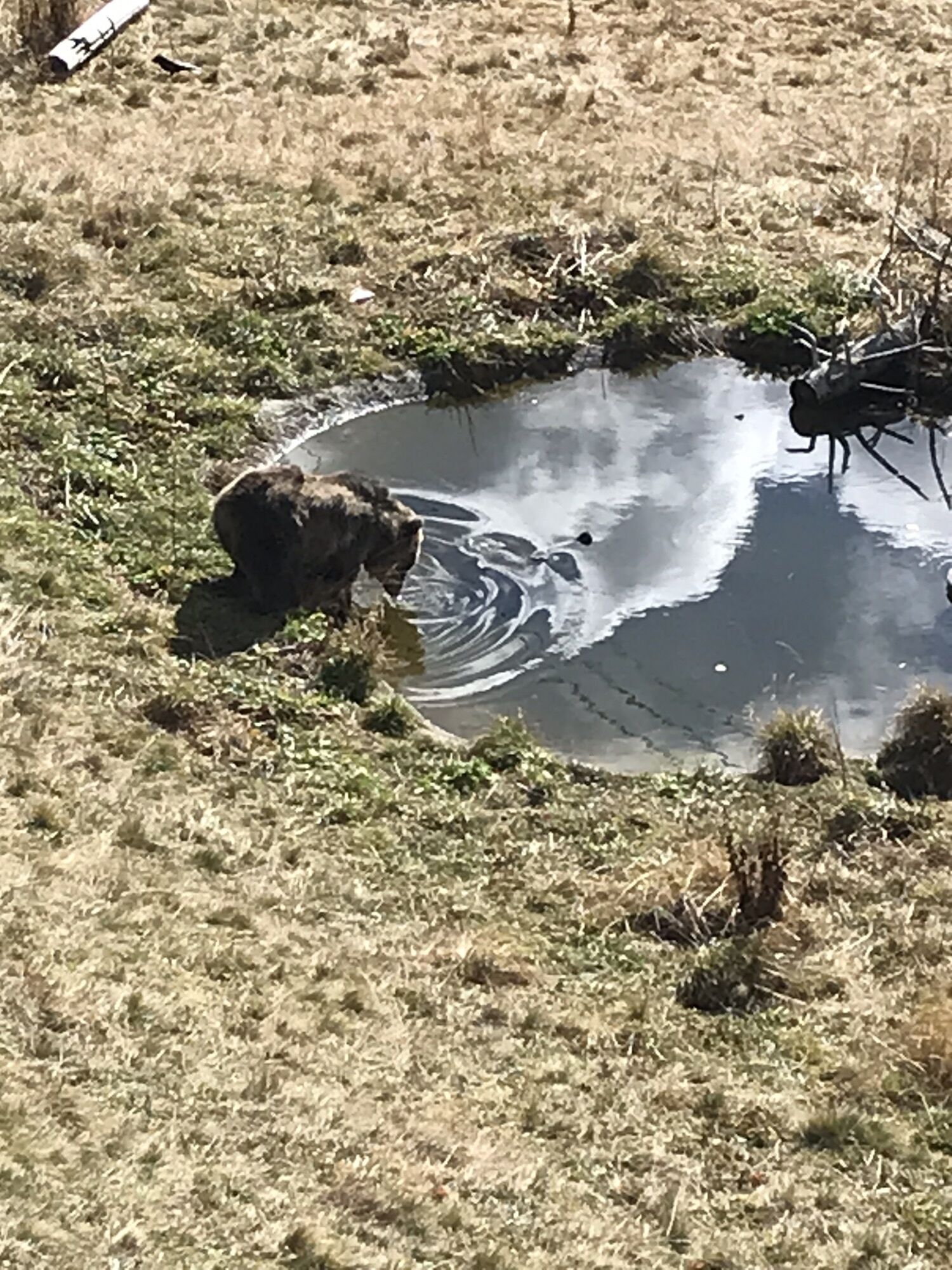
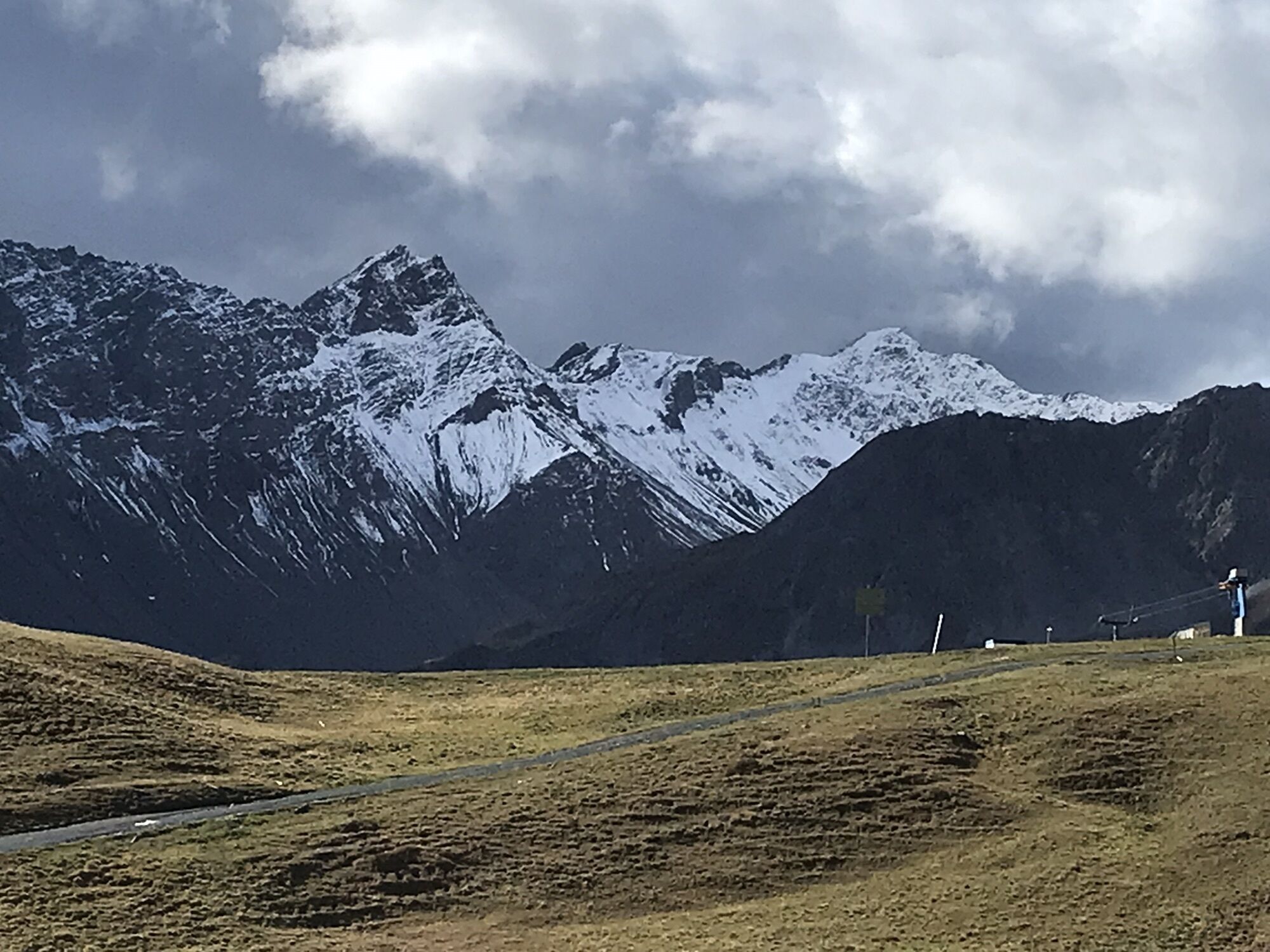

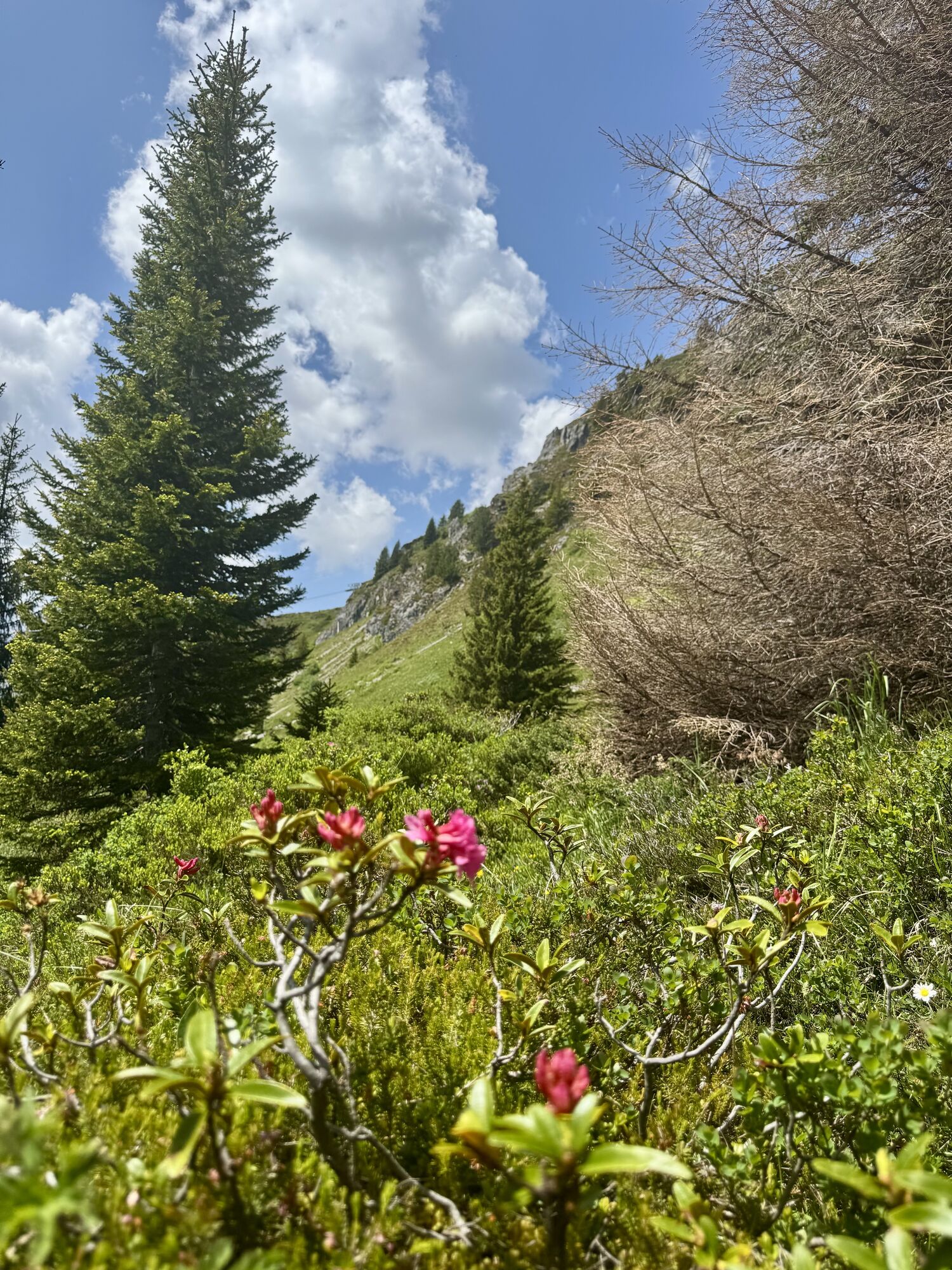
A beautiful hike from Prätschli first leads up through a dreamy spruce forest to the middle station of the Arosa-Weisshorn cable car. On this first part of the hike you have a great view towards the alpine...
A beautiful hike from Prätschli first leads up through a dreamy spruce forest to the middle station of the Arosa-Weisshorn cable car. On this first part of the hike you have a great view towards the alpine settlement of Medergen west of the "Strelakette". From the tranquillity of the forest you reach the busy ski area, where you will also find the Arosa Bear Sanctuary. The trail continues through the middle of the snow sports area, past the "Bergkirchli" (small church) and local history museum "Heimatmuseum" and finally into the village of Innerarosa. A visit to the church dating from 1493 is worthwhile: it is the oldest building in Arosa. From this contemplative place you can enjoy a view of the Erzhorn, Arosa's emblem, and the highest mountain in the region, the Arosa Rothorn (2980m). In the historical museum you can learn everything about the history of the Grisons mountain village - a great day out even when it's snowing. Along the way, various restaurants and mountain huts invite you to stop for a snack.

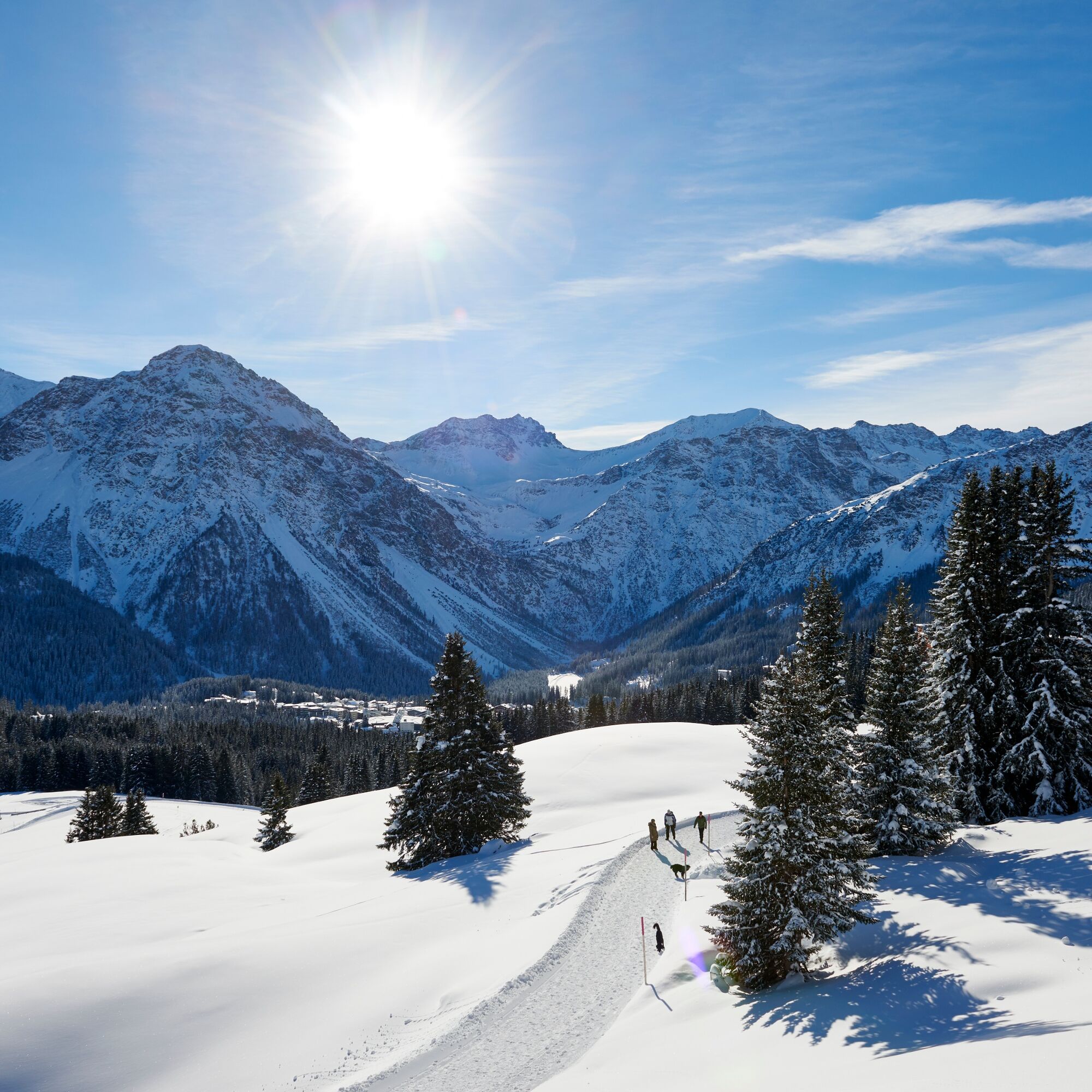
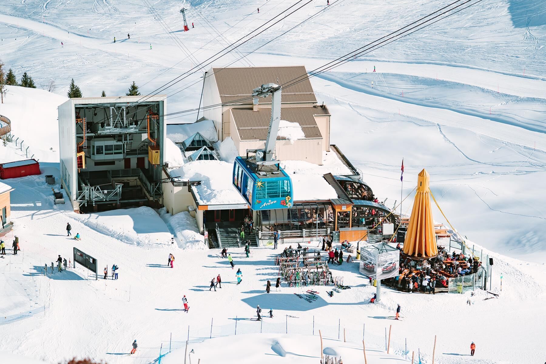


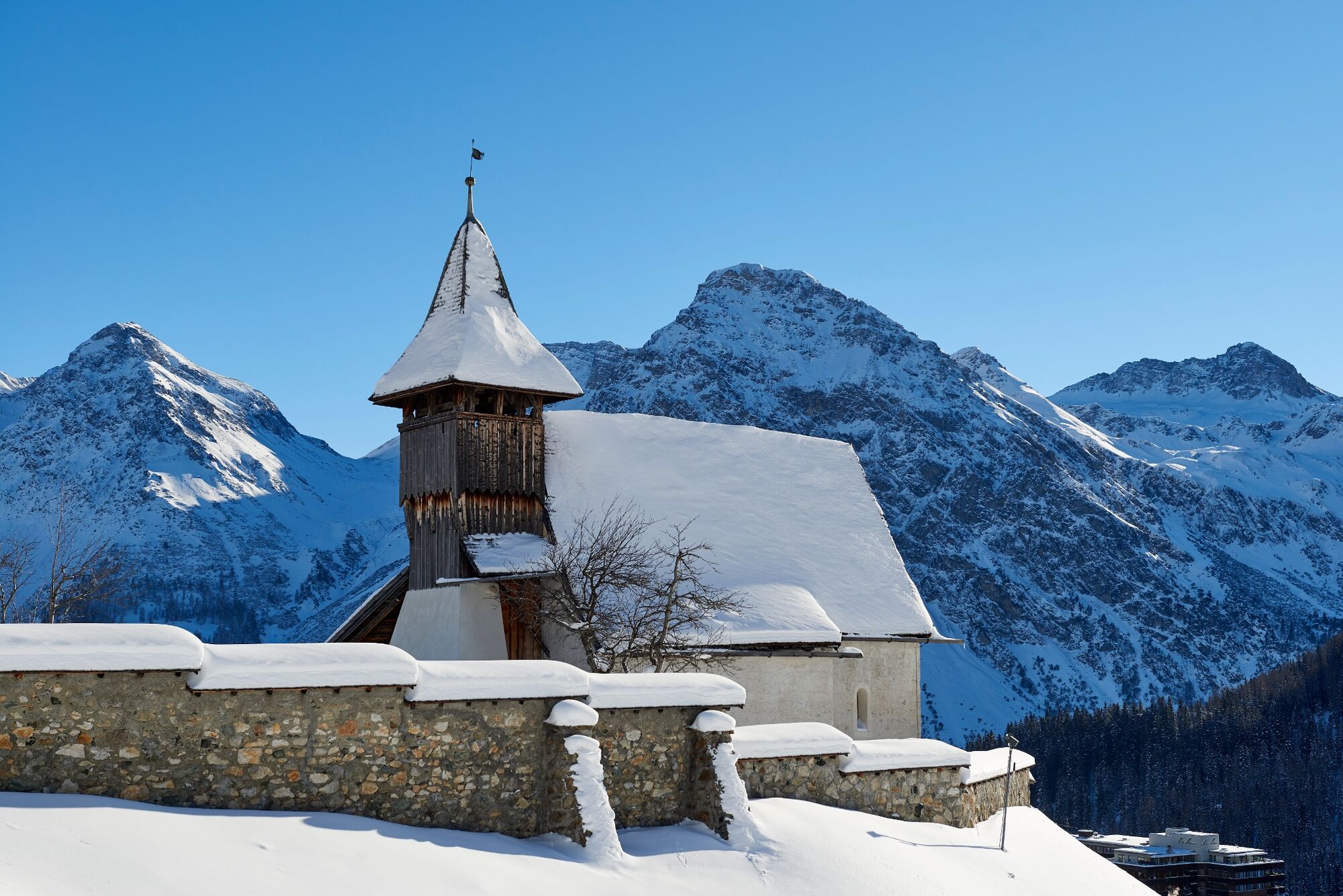


Prätschli - Middle station (Cable car) - Bergkirchli - Innerarosa
Sturdy shoes, clothing suitable for the weather and something to drink are recommended.
Occasional sections of the trail may also lead across the ski slopes. Caution is advised.
From Chur along the winding Arosastrasse to the end of the valley to Arosa. Turn right at the gas station (entrance of the village) in direction "Prätschli" or leave your car at one of the parkings in Arosa and continue by bus.
The Rhaetian Railway runs every hour from Chur to Arosa (also in the opposite direction). When you arrive at Arosa train station, you catch the bus direction Prätschli and leave the bus at the bus station "Prätschli" where you'll find the starting point of the hike.
At the entrance to the village there is a large signs indicating the various parking options. We recommend the Obersee car park.
You can find more information under: www.arosa-parking.com
Arosa strives to provide hikers with a well-developed and marked network of hiking trails. Please heed the rules and signposting.
Pleas keep your dogs on a leash Please take litter and leftovers from picnics home again You will often see game on your walks. Enjoy the sight of these animals and respect their familiar surroundings. Leave trail markings where they are Do not use closed paths (winter sports report) Do not leave the officially marked winter hiking trailsOn Outdoor Active you will find further information about the Arosa Bear Sanctuary, the Bergkirchli and the local museum "Heimatmuseum" in the free audio guide.
 Infórmate
Siempre en directo con más de 9.500 webcams. bergfex Como usuario Pro, ahora puede ver las webcams correspondientes a muchos tours en la app de tours desde. Esto le permite ver las condiciones actuales directamente.
Infórmate
Siempre en directo con más de 9.500 webcams. bergfex Como usuario Pro, ahora puede ver las webcams correspondientes a muchos tours en la app de tours desde. Esto le permite ver las condiciones actuales directamente.
Rutas populares en los alrededores
-
3,9
Arosa-Medergen-Tritt-Latschüelfurgga-Strelapass-Davos
medioSenderismo 22,5 km -
Arosa-Schwellisee-Älplisee-Parpaner Rothorn
Senderismo 12,3 km -
4,7
Arosa-Hörnli-Parpaner Rothorn-Lenzerheide
Senderismo 11,9 km -
5,0
Arosa-Hörnli-Urdenfürrgli-Alp Scharmoin-Lenzerheide
medioSenderismo 15,3 km -
5,0
Eichhörnliweg Arosa
luzSendero temático 1,72 km -
2,0
Arosa-Maienfelder Furgga-Stafelalp-Davos
medioSenderismo 15,9 km -
5,0
Arosa-Erzhornsattel-Arosa
Senderismo 14,9 km -
2,0
Arosa-Furclettapass-Alvaneu
Senderismo 21,8 km -
4,0
749 Sendero del puente colgante de Val Meltger
medioSenderismo 8,30 km -
5,0
767 Lago Altein Schiesshorn
medioSenderismo 11,9 km
Senderismo y rastreo


No se pierda las ofertas y la inspiración para sus próximas vacaciones
Su dirección de correo electrónico se ha añadido a la lista de correo.





