




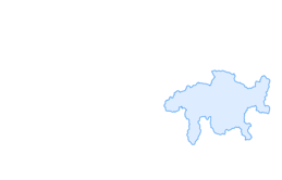

Kesch-Trek stage 2

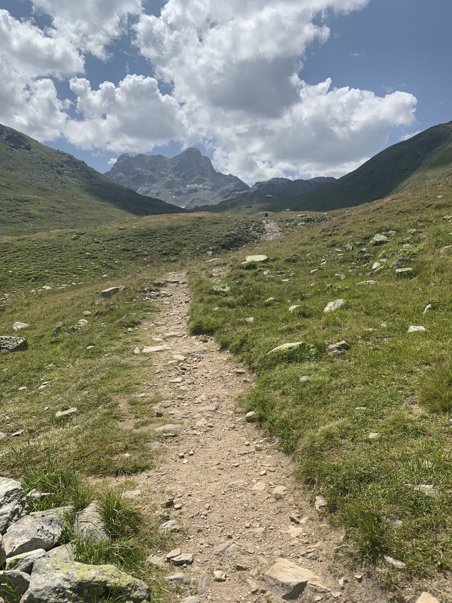
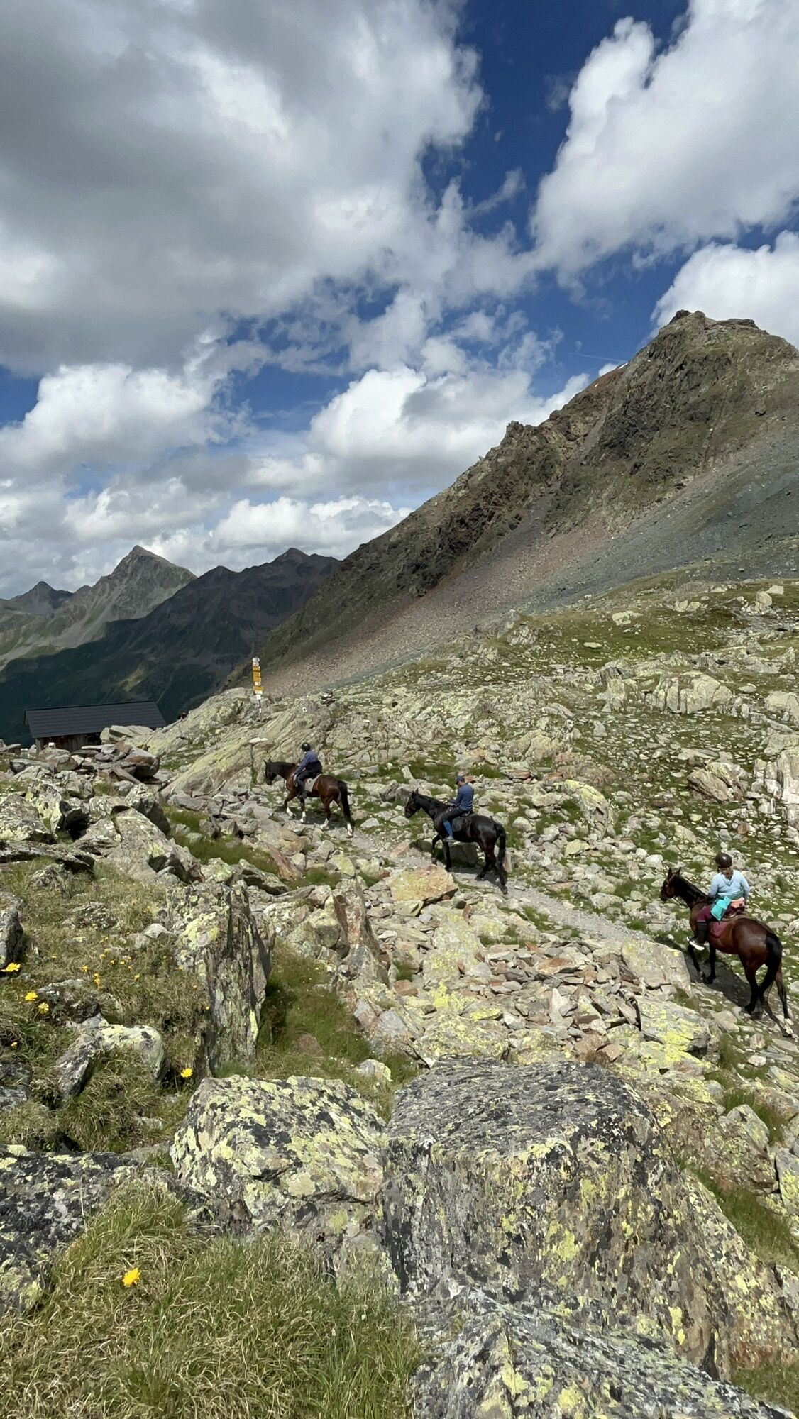
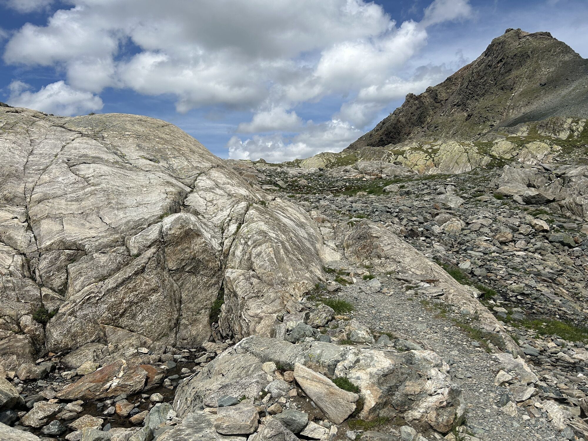
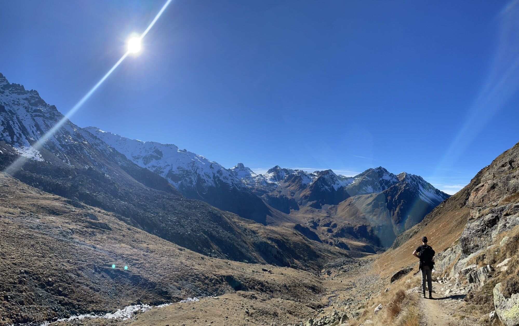
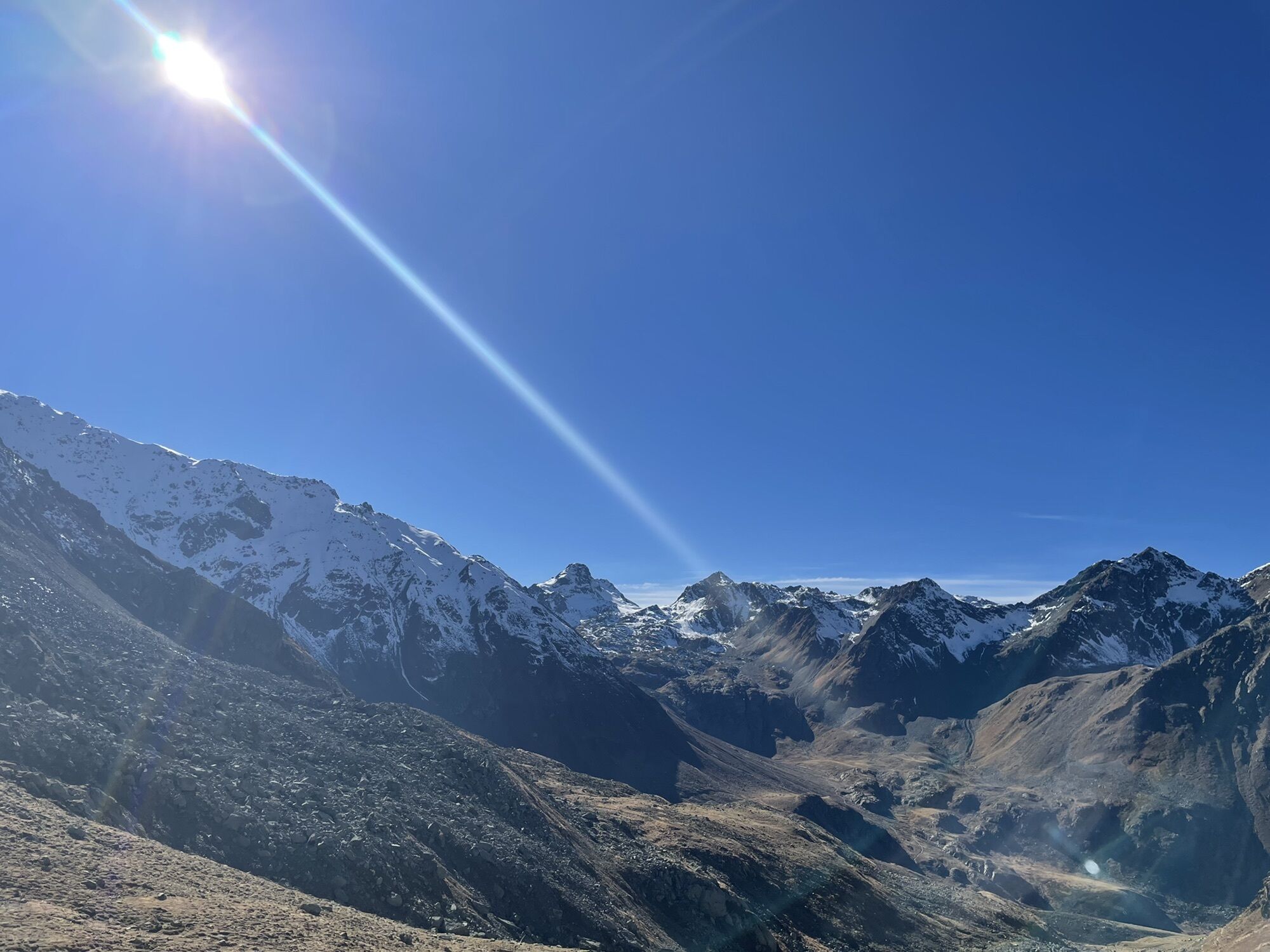
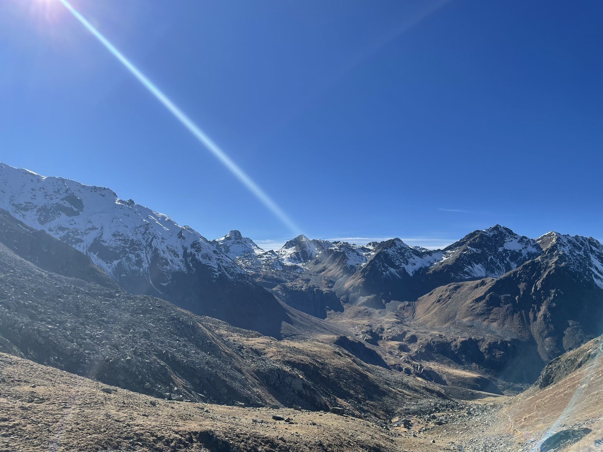
On the way to the Kesch Hut, hike over the Sertig Pass. Shortly after the pass, the short detour to the Ravais-ch lakes is worthwhile. Today you will spend the night in the Kesch Hut, newly built in 2...
On the way to the Kesch Hut, hike over the Sertig Pass. Shortly after the pass, the short detour to the Ravais-ch lakes is worthwhile. Today you will spend the night in the Kesch Hut, newly built in 2001, which is considered a model hut in the Alpine region in terms of energy supply and concept. Among other things, it has been awarded the European Union's eco-label and is the winner of the Swiss Solar Prize.
Whole tour: Kesch-Trek
Stage 3: Kesch hut SAC - Es-cha hut SAC


Ascent Sertig-Pass (2738 m) - Val dal Tschüvel - Kesch hut SAC (2625 m) / Dinner, overnight at the Kesch hut SAC, breakfast
Good mountain boots, weatherproof and warm clothing, rain protection, food for the hiking stages (packed lunches can also be obtained in the huts), enough water, sun and head protection, medicine box, maps for orientation and hiking poles
The Kesch Trek is an alpine mountain hike. The potential dangers in the high mountains must be correctly assessed. The hiking stages require a good condition.
Kesch-Hütte SAC www.kesch.ch
Bergün Filisur Tourismus www.berguen-filisur.ch
On your way to the Kesch hut, a short detour to the Ravais-ch lakes is always worthwhile and only takes about 20 minutes. You will be rewarded with a beautiful panorama. The two mountain lakes Lai da Ravais-ch Suot and Lai da Ravais-ch Sur are located in a small valley at the foot of the mighty Piz Murtelet. Depending on the incidence of light, the lakes glow from turquoise to green to black.

Actividades a lo largo del recorrido


Rutas populares en los alrededores
-
4,8
Jöriseen
medioSenderismo 11,3 km -
4,7
Fluela Schwarzhorn 3147 m
luzExcursión de alta montaña 7,34 km -
5,0
Zernez - Chamanna Cluozza
medioSenderismo 8,37 km -
Paso Flüela – Schwarzhorn (ida y vuelta)
medioSenderismo 7,92 km -
5,0
Parque Nacional: Murtaröl
pesadoSenderismo 15,6 km -
3,5
Arosa-Maienfelder Furgga-Stafelalp-Davos
medioSenderismo 15,9 km -
Kesch Trek Tour (4 stages)
medioSendero de largo recorrido 47,6 km -
4,0
Bernina Trek clásico: Etapa 1 Madulain-Chamanna d'Es-cha
medioSenderismo 5,83 km -
4,7
Bever-Spinas (Val Bever)
luzSenderismo de invierno 4,06 km -
4,3
Albulapass-Chamanna d'Es-cha-Zuoz
medioSenderismo 11,0 km
Senderismo y rastreo


No se pierda las ofertas y la inspiración para sus próximas vacaciones
Su dirección de correo electrónico se ha añadido a la lista de correo.





