






3rd stage Haute Route GR
Nivel de dificultad: AD-
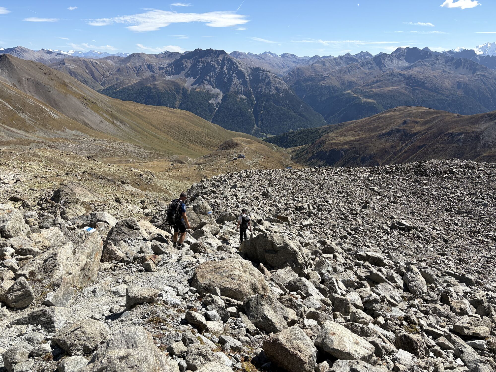
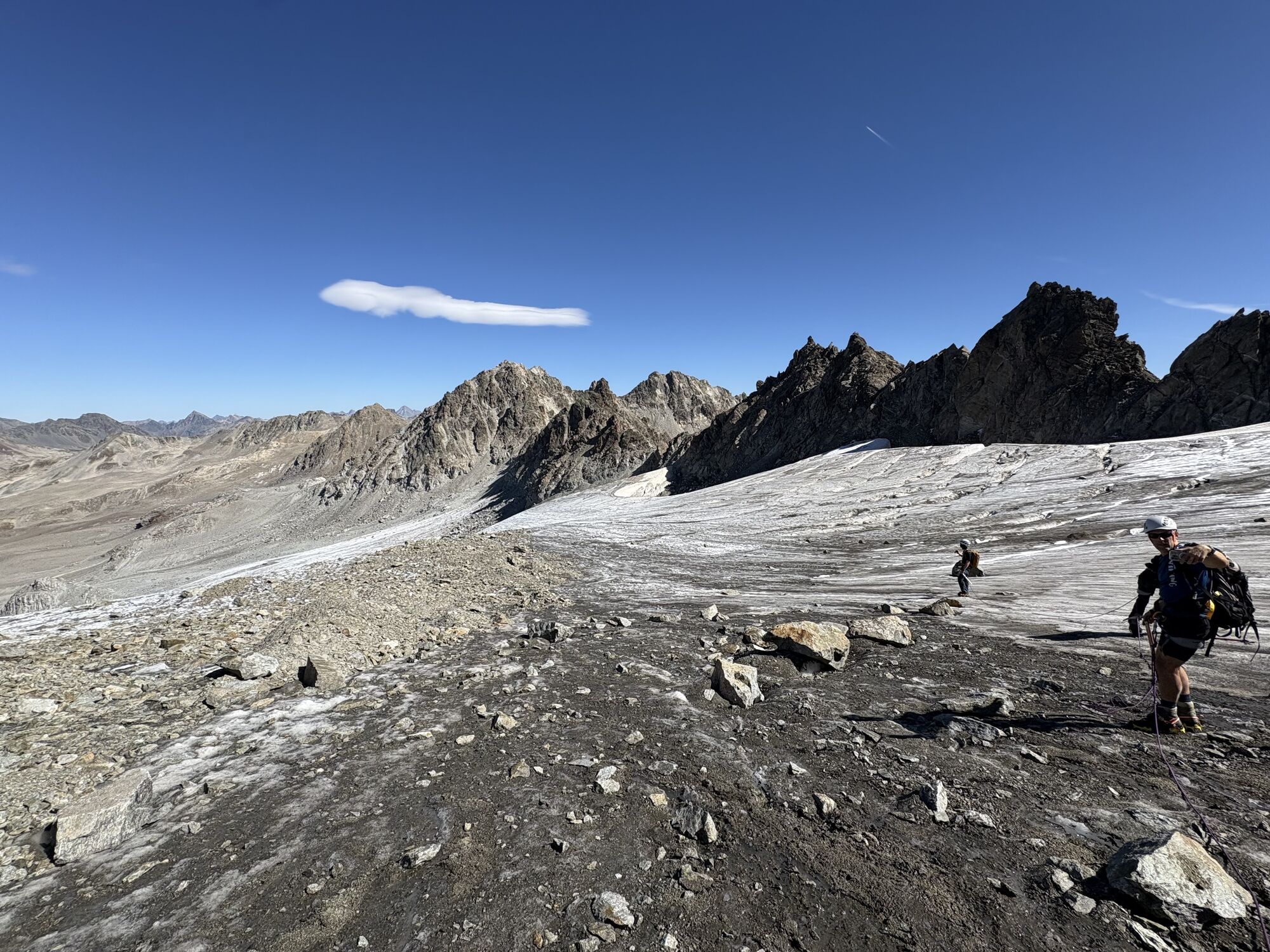
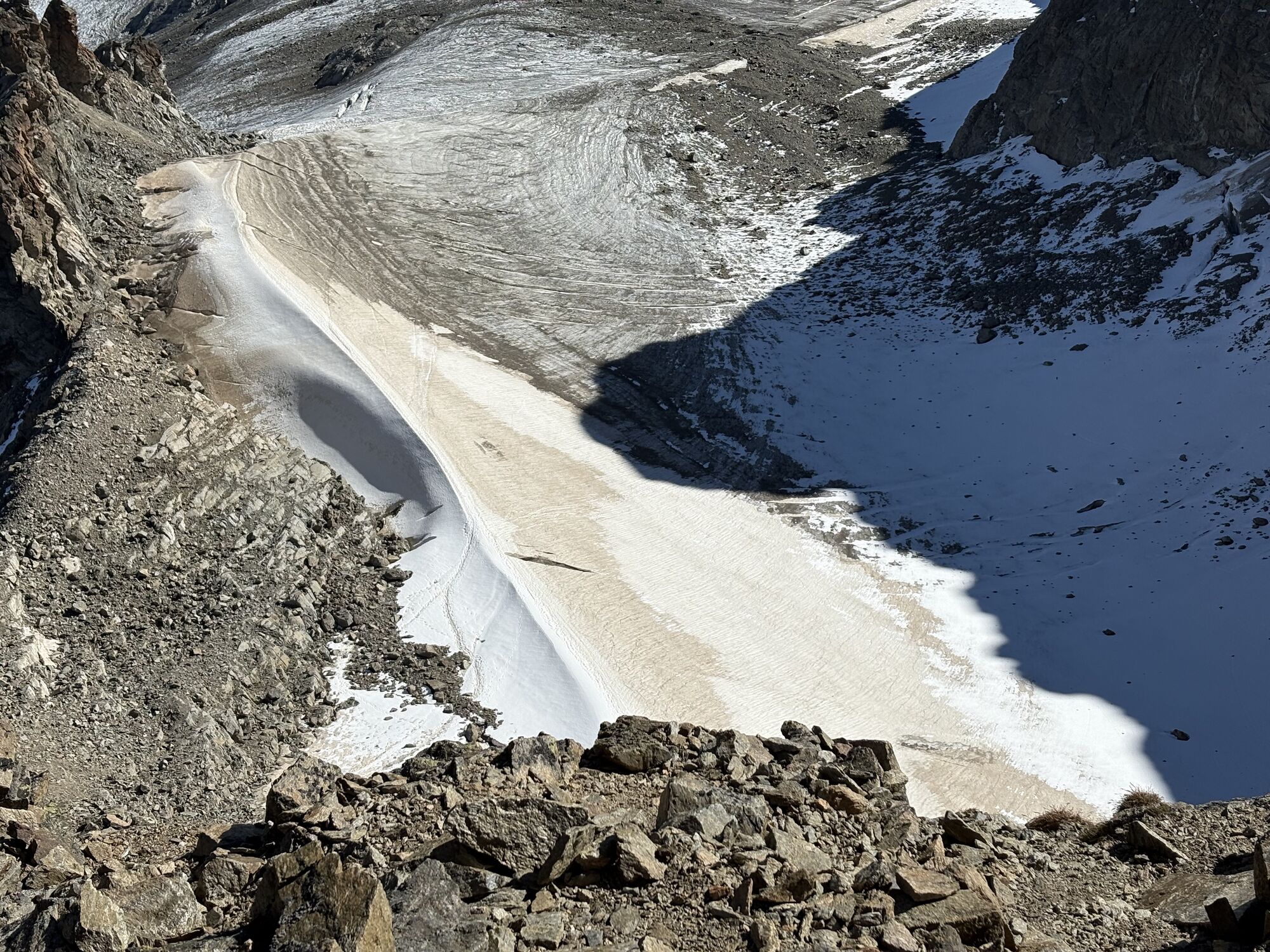
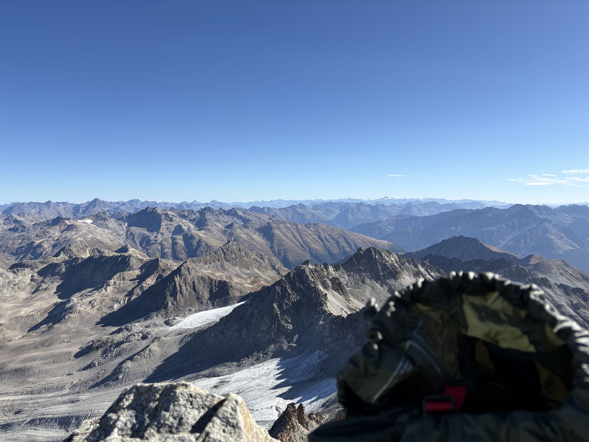
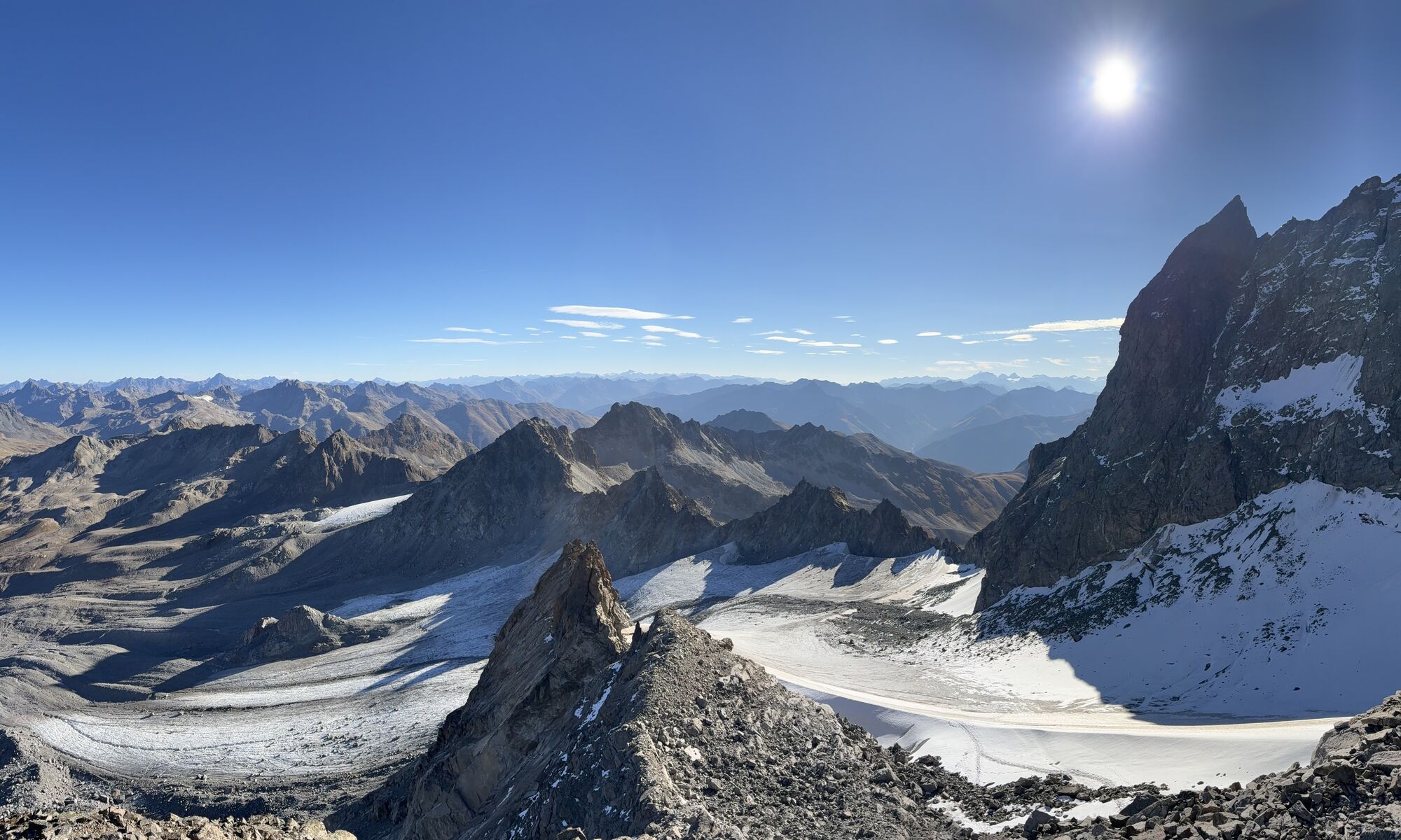
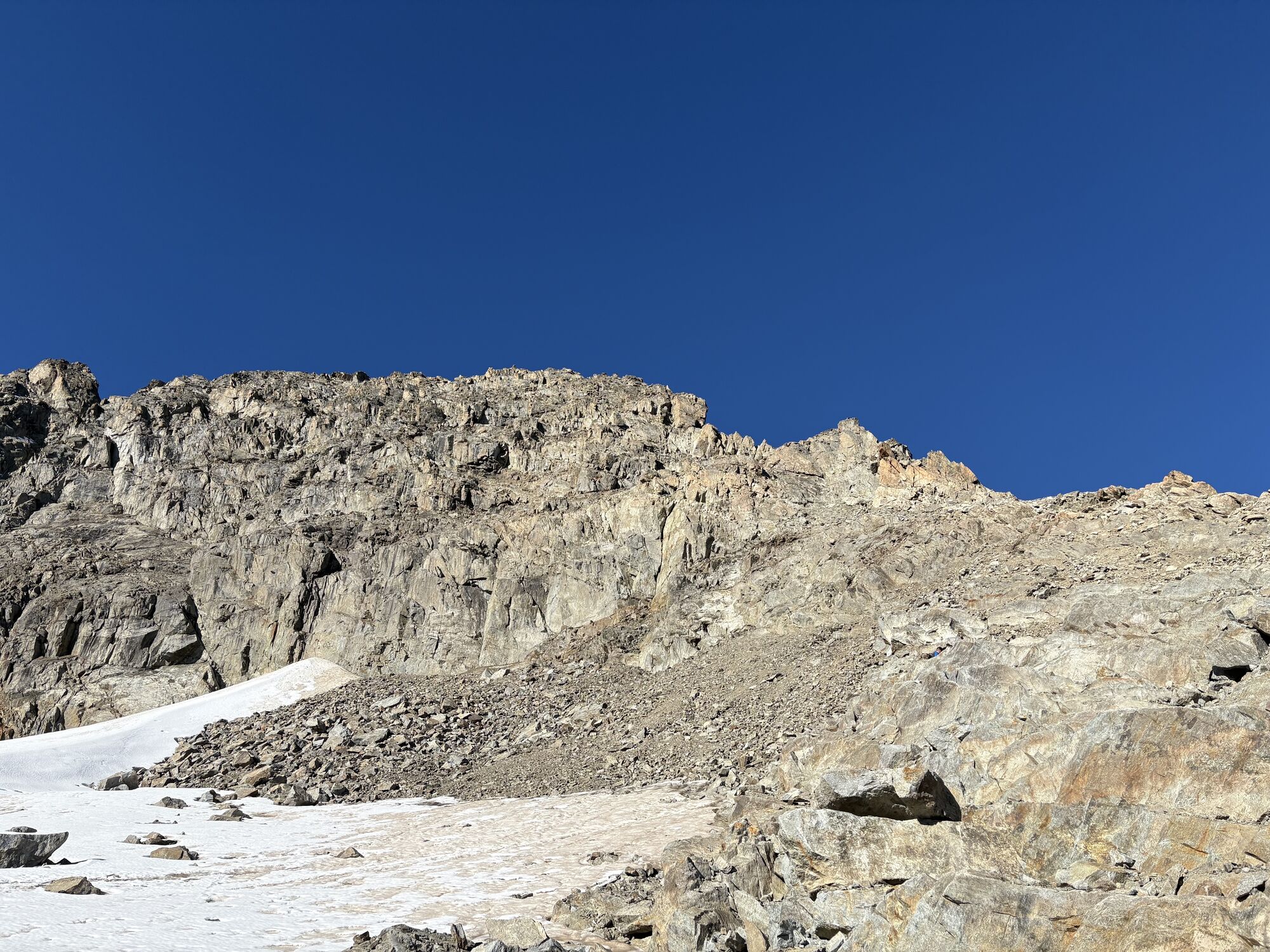
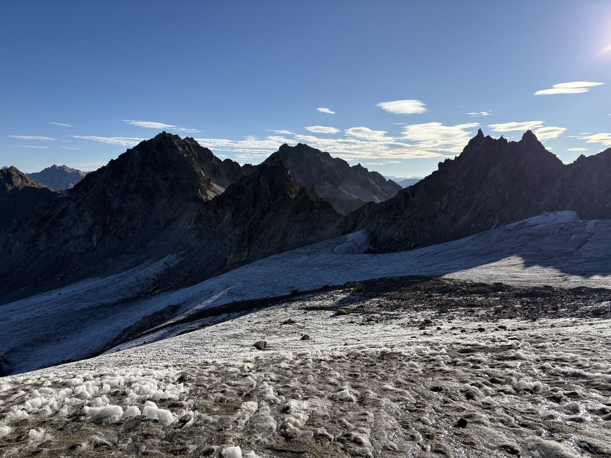
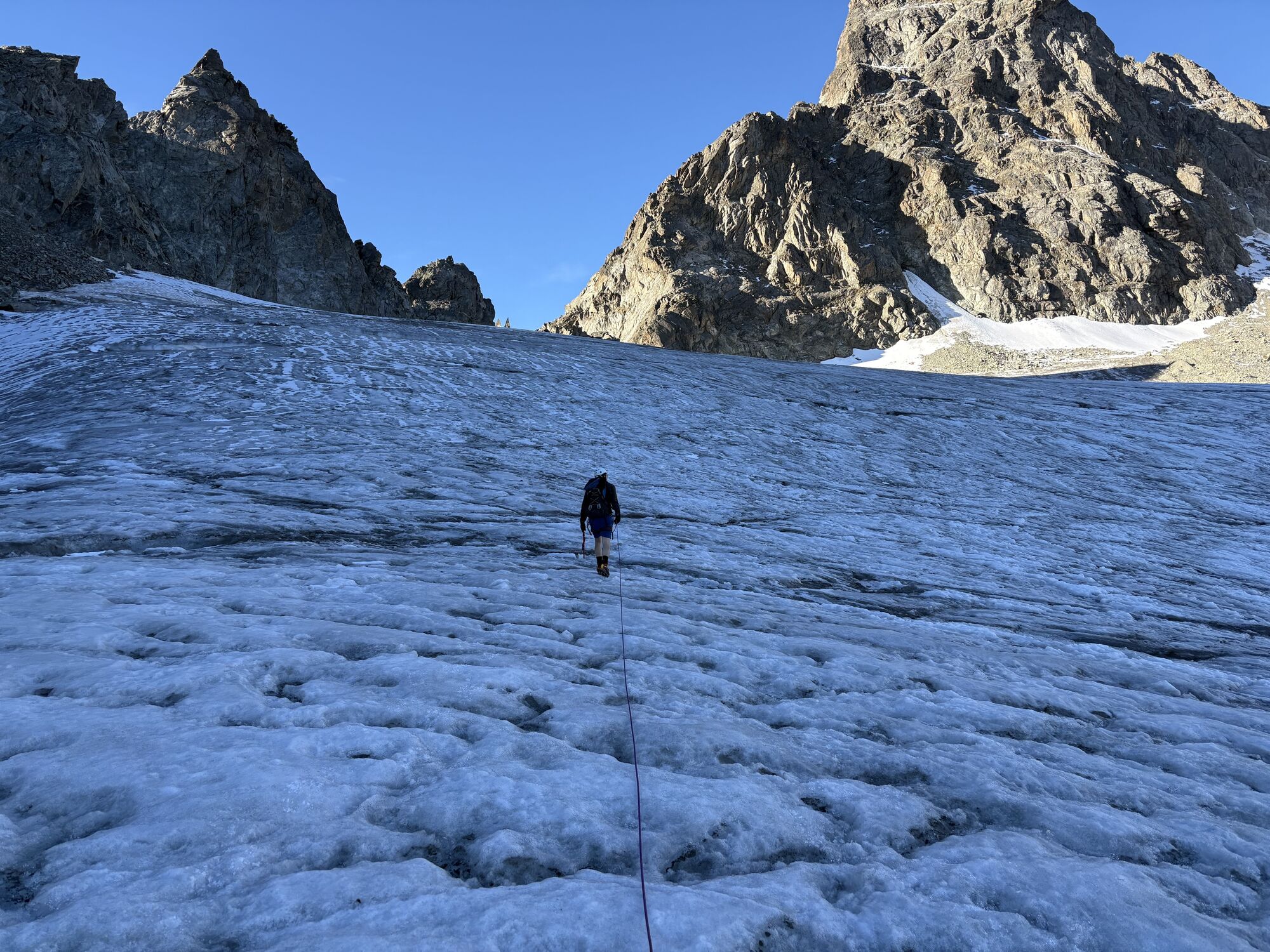
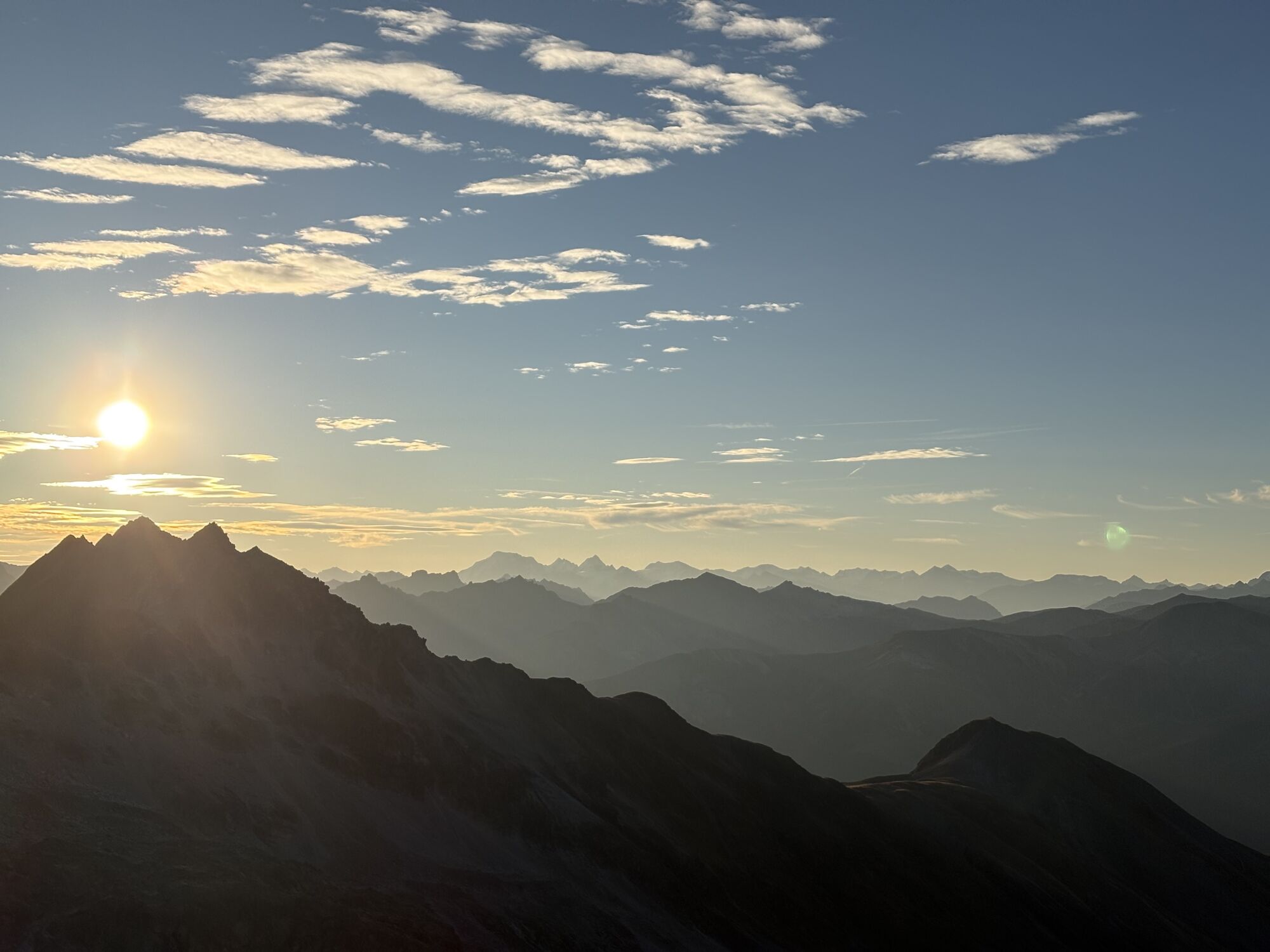
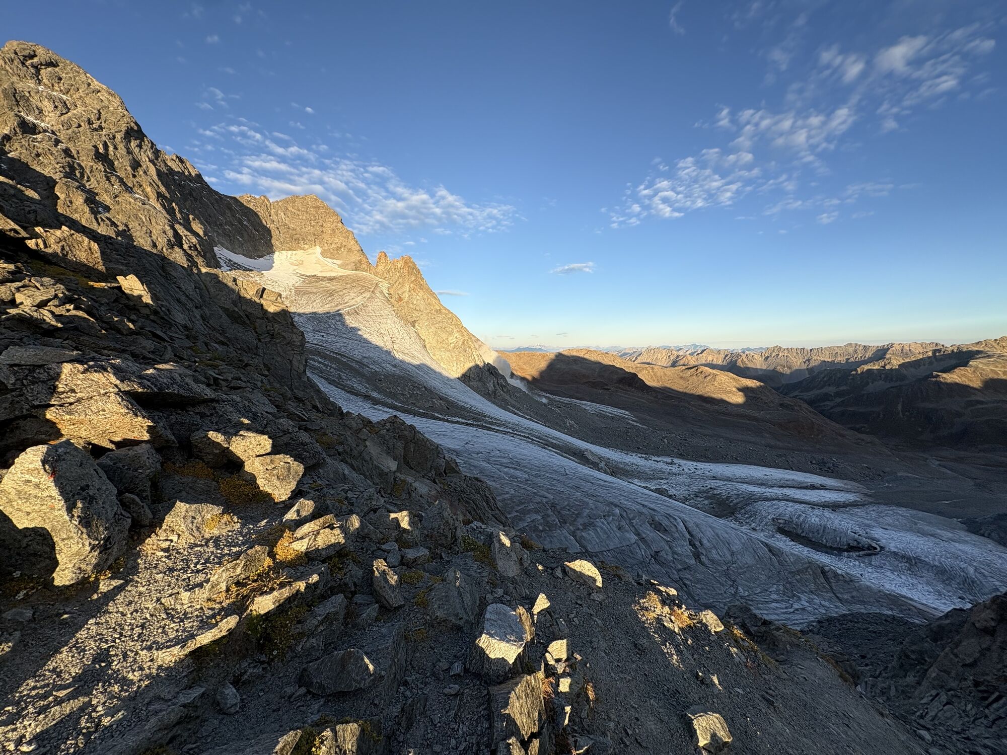
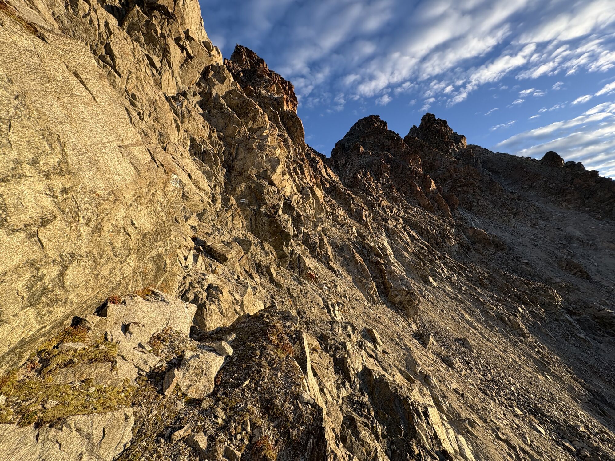
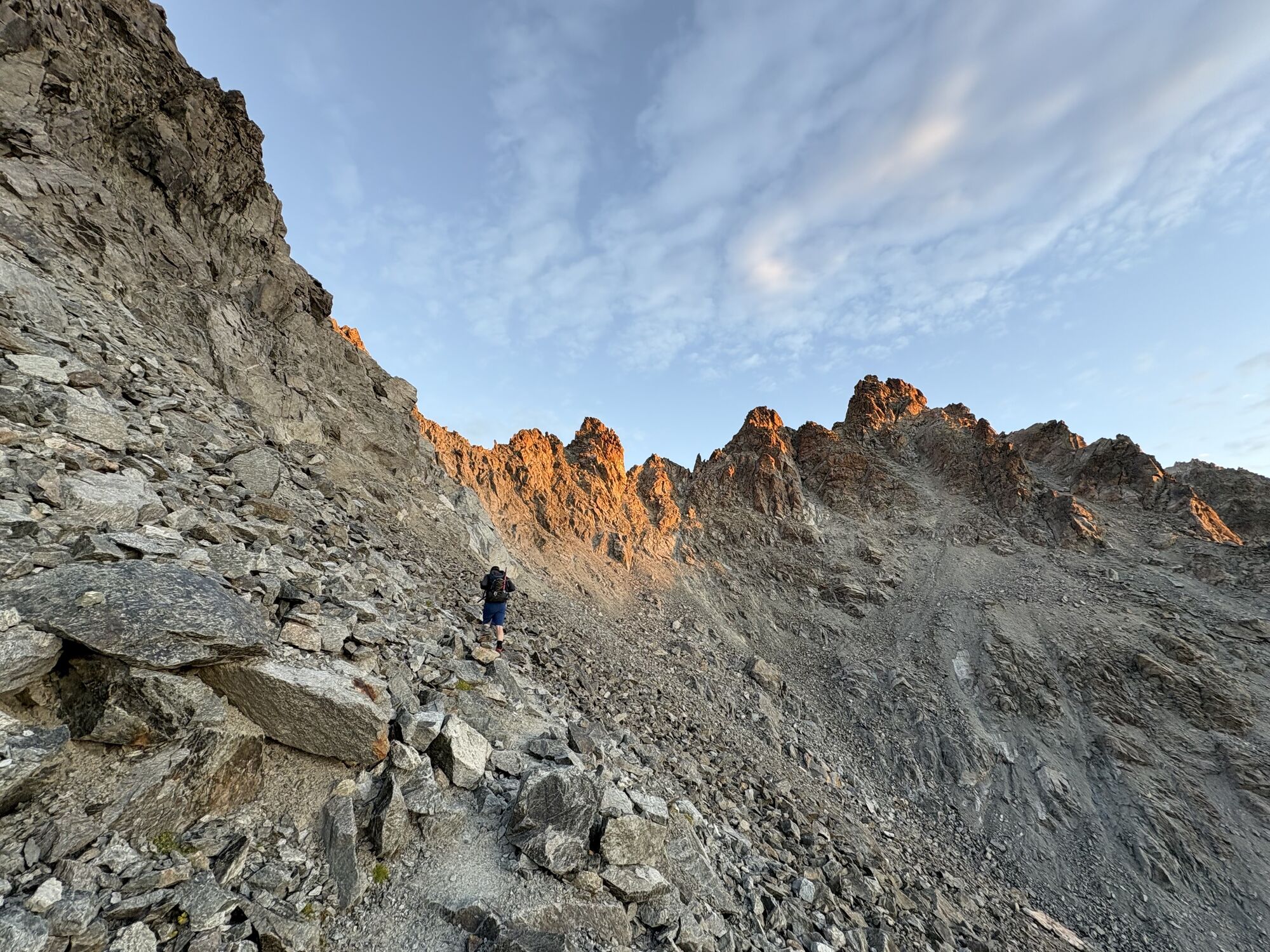
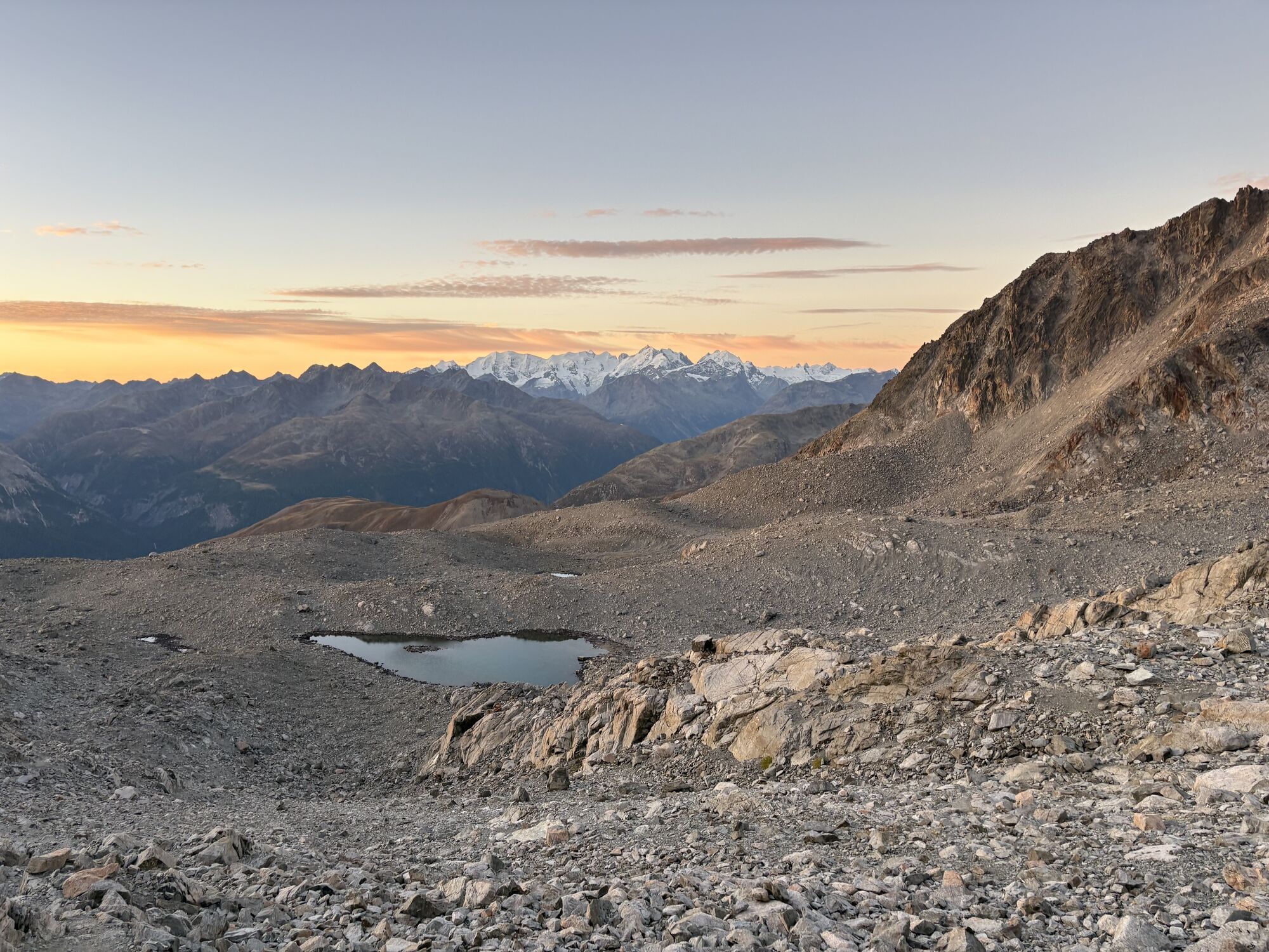
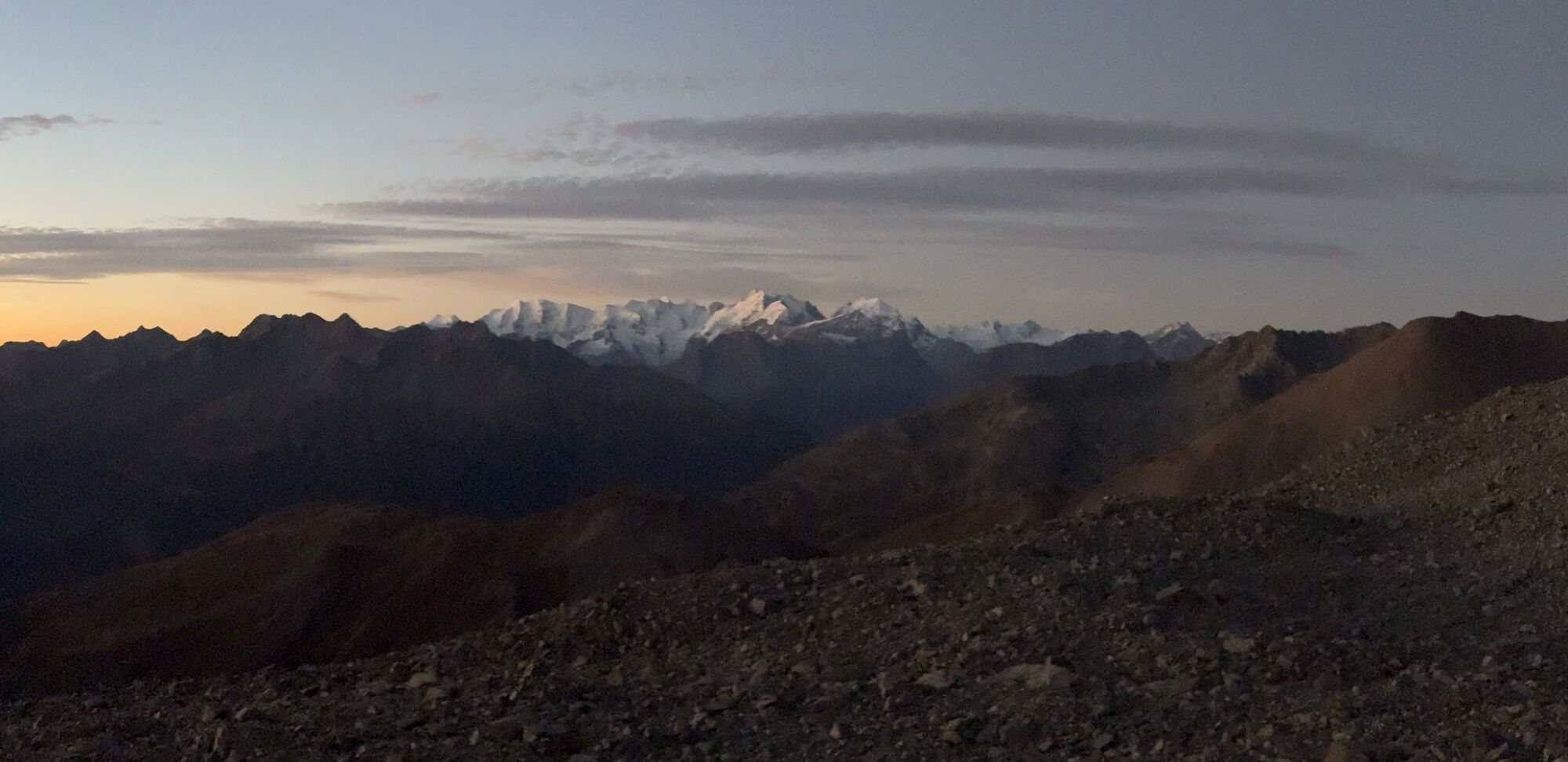
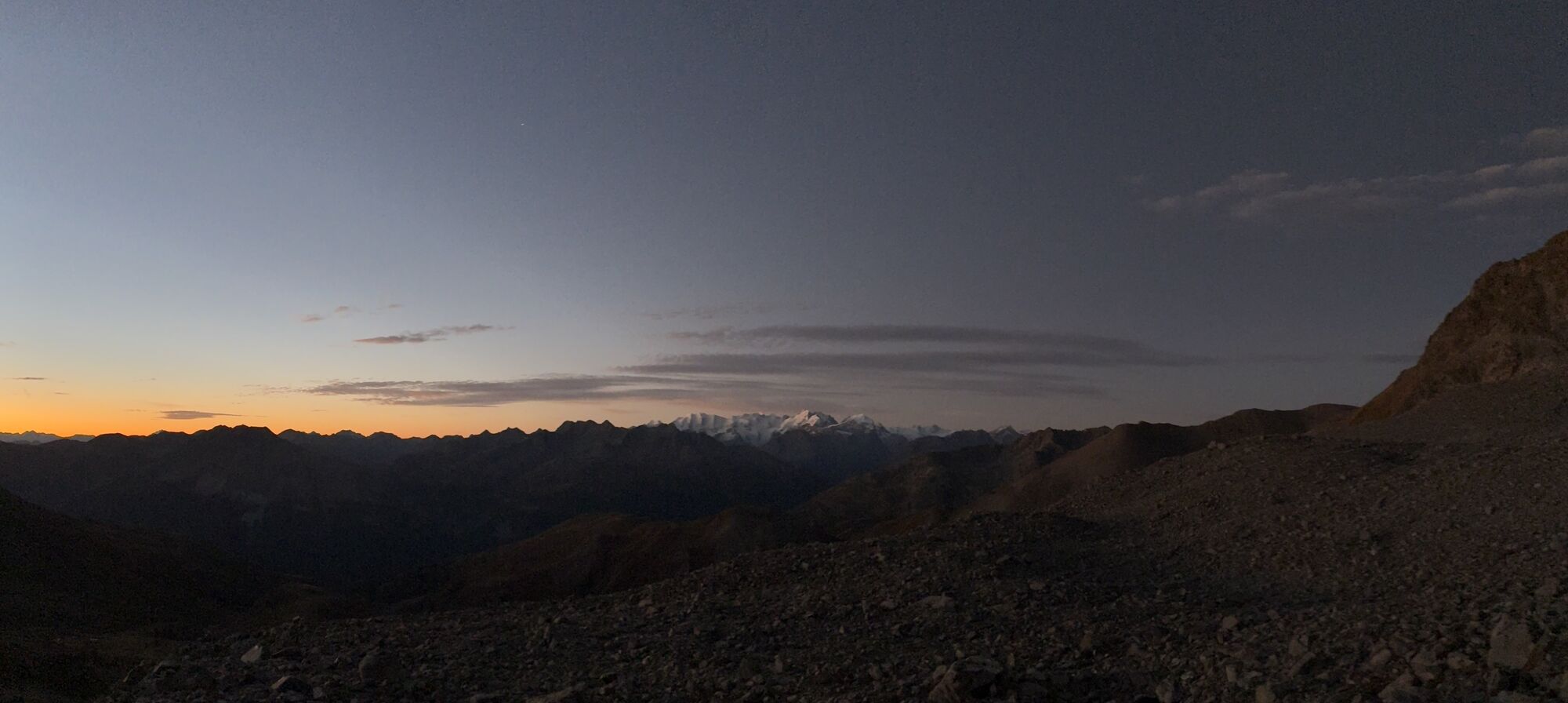
The entire Haute Route Graubünden passes four huts and takes five days to complete. You have experience of ski touring and deep snow and can master steeper passages on the ascent and descent. You have...
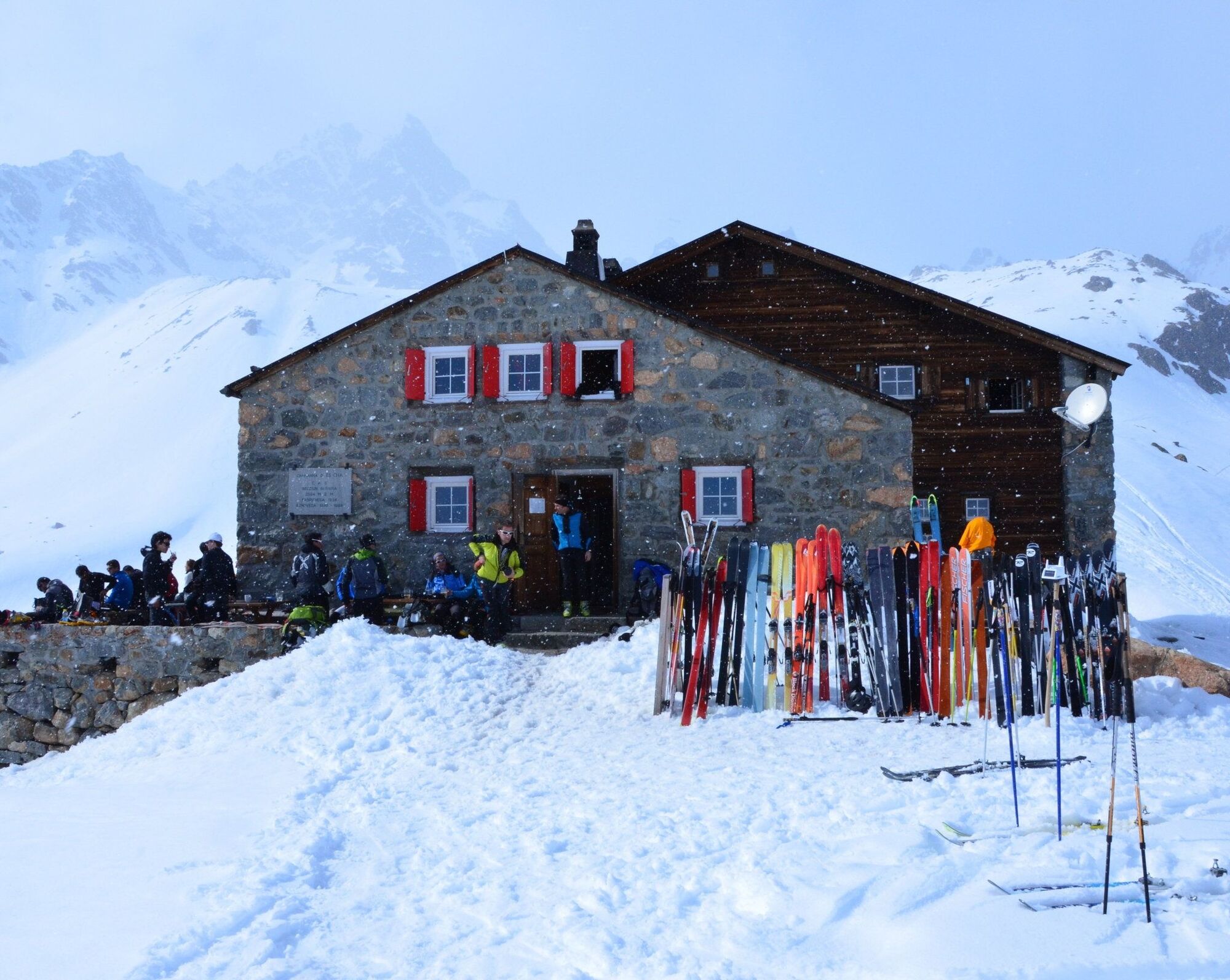
Behind the hut, the ascent starts over the moraine ridge to below the Porta d'Es-cha. For the last section, you have to carry your skis; there is a chain to help you, but it is usually frozen or snowed over in winter. From the Porta d`Es-cha steeply down into a hollow, then up to the ski depot at 3270 m. On foot over a steep snow field and then a climb over the north-east ridge to the summit begins. Back at the ski depot, the long descent begins past the Ports d`Es-cha to the Kesch hut.


Sí
Complete safety equipment (avalanche transceiver, avalanche shovel, avalanche probe, cell phone) and knowledge of correct handling are essential.
The practice of ski touring in open terrain is at your own risk. Every ski tourer is strongly advised to prepare thoroughly, plan their route and obtain up-to-date information on the snow and avalanche situation. Avalanche report and snow information: www.slf.ch
No liability is accepted for accidents resulting from the use of the published information and route details.
In case of doubt, accompaniment by an experienced mountain guide is strongly recommended: www.govertical-mountainguides.ch
AD-
Infórmate
Siempre en directo con más de 9.500 webcams. bergfex Como usuario Pro, ahora puede ver las webcams correspondientes a muchos tours en la app de tours desde. Esto le permite ver las condiciones actuales directamente.
Rutas populares en los alrededores
-
4,8
Ruta circular Val Trupchun en el Parque Nacional Suizo
medioSenderismo 13,8 km -
5,0
Muottas Muragl - cabaña Segantini - Pontresina
medioSenderismo 6,46 km -
4,4
Ruta panorámica Muottas Muragl
luzSenderismo 6,75 km -
Muottas Muragl - Segantini Hütte - Pontresina
medioSenderismo 17,5 km -
5,0
Lej Muragl
medioSenderismo 7,39 km -
4,8
Alrededor del lago de St. Moritz
luzSenderismo 4,32 km -
4,6
Marathon
medioEsquí de fondo 42,9 km -
Paso Flüela – Schwarzhorn (ida y vuelta)
medioSenderismo 7,92 km -
4,8
Alp Languard - cabaña Segantini - Muottas Muragl
medioTrailrunning 6,45 km -
4,5
Muottas Muragl - Fuorcla Muragl - Val Chamuera
medioSenderismo 17,6 km
Senderismo y rastreo


No se pierda las ofertas y la inspiración para sus próximas vacaciones
Su dirección de correo electrónico se ha añadido a la lista de correo.





