


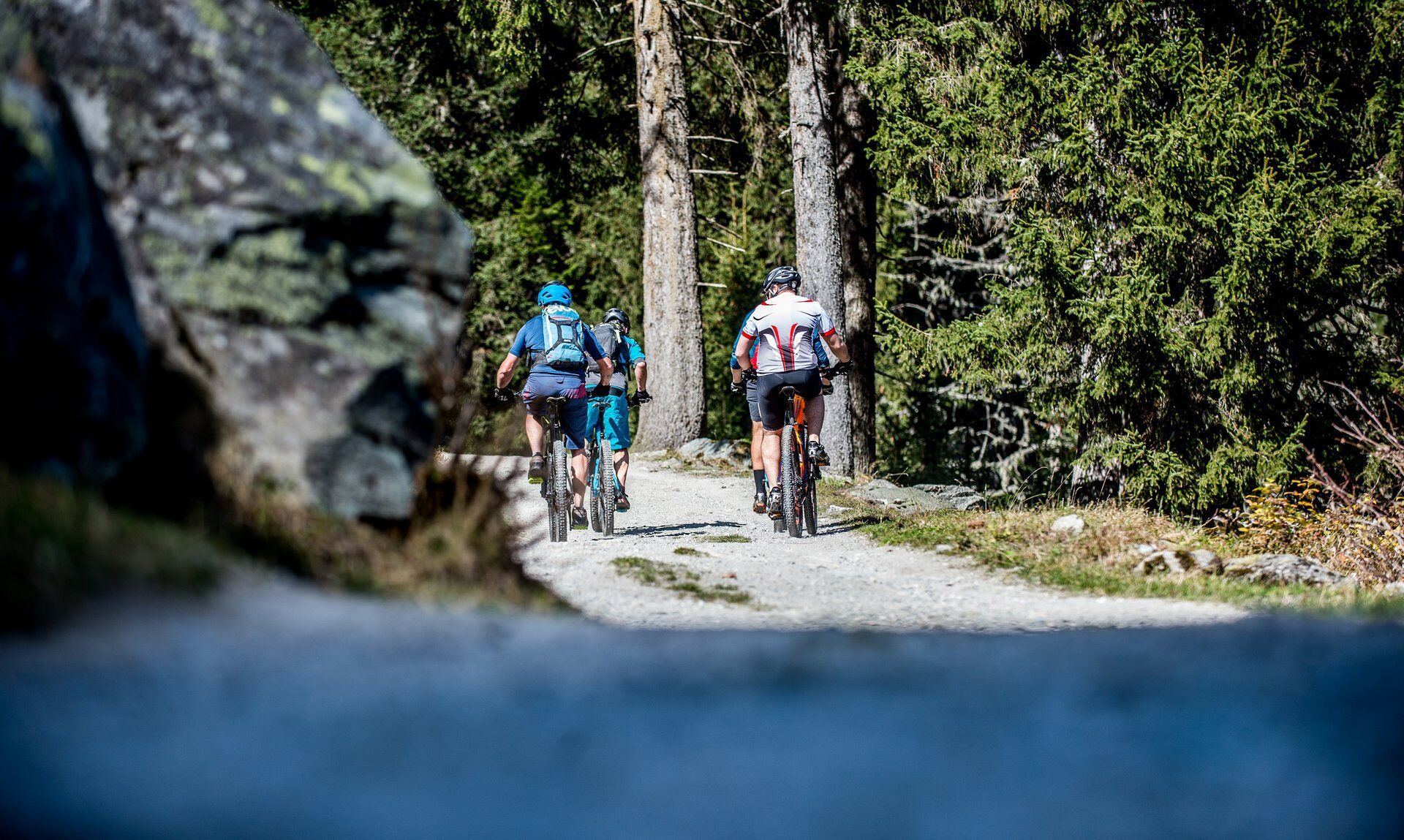
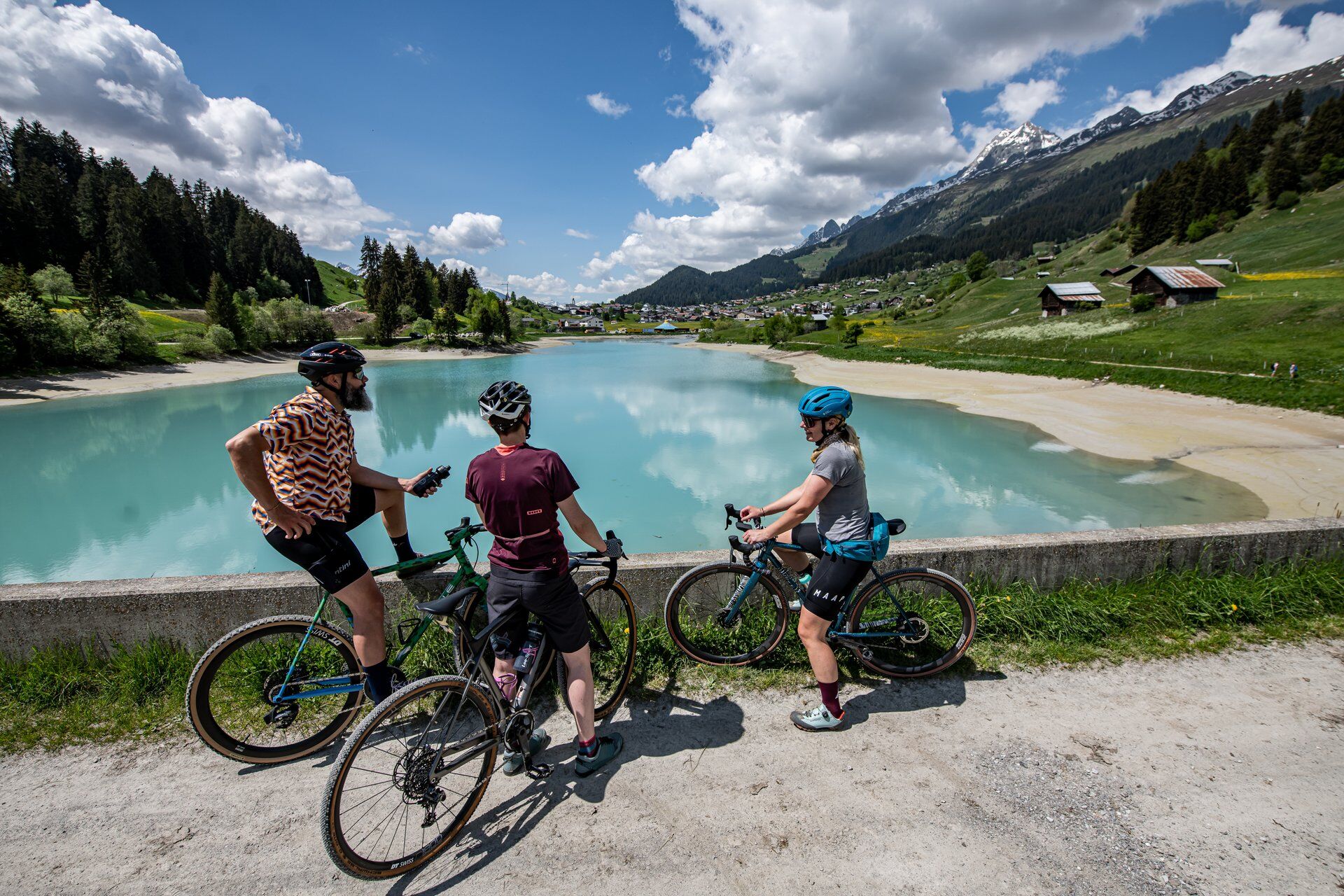
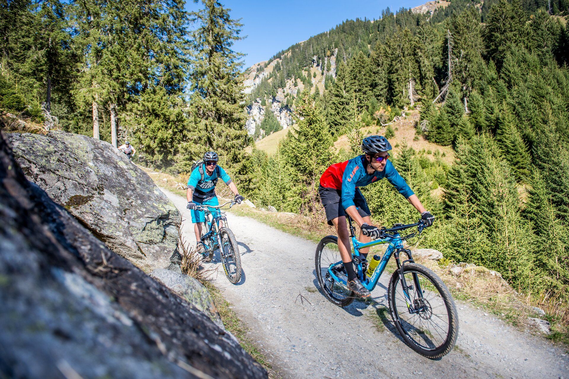
224 Gneida Bike
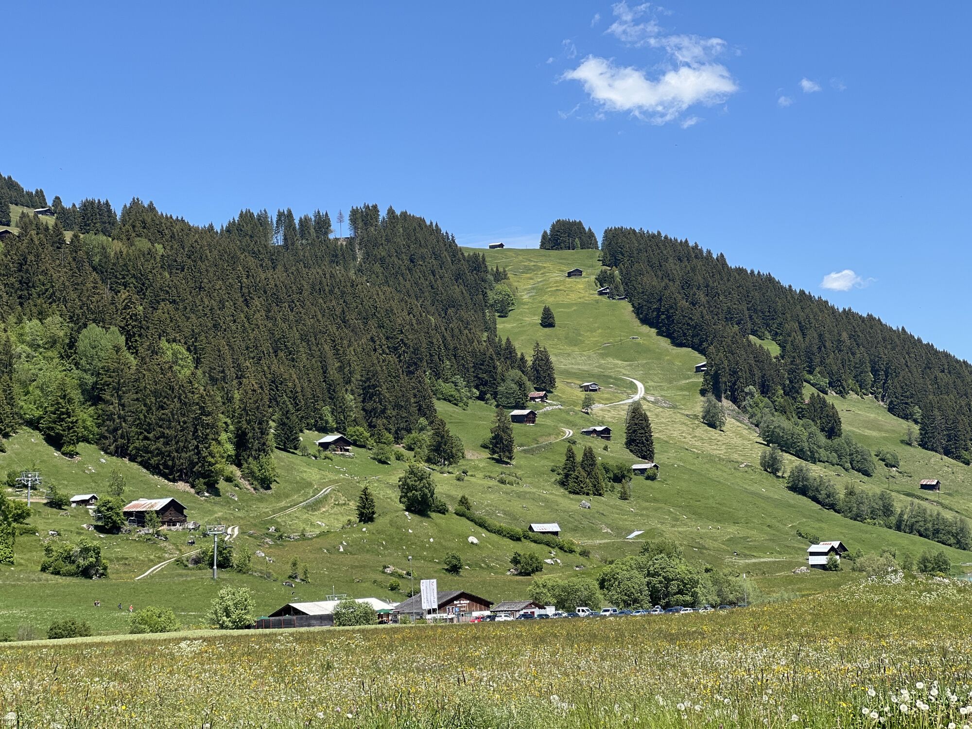
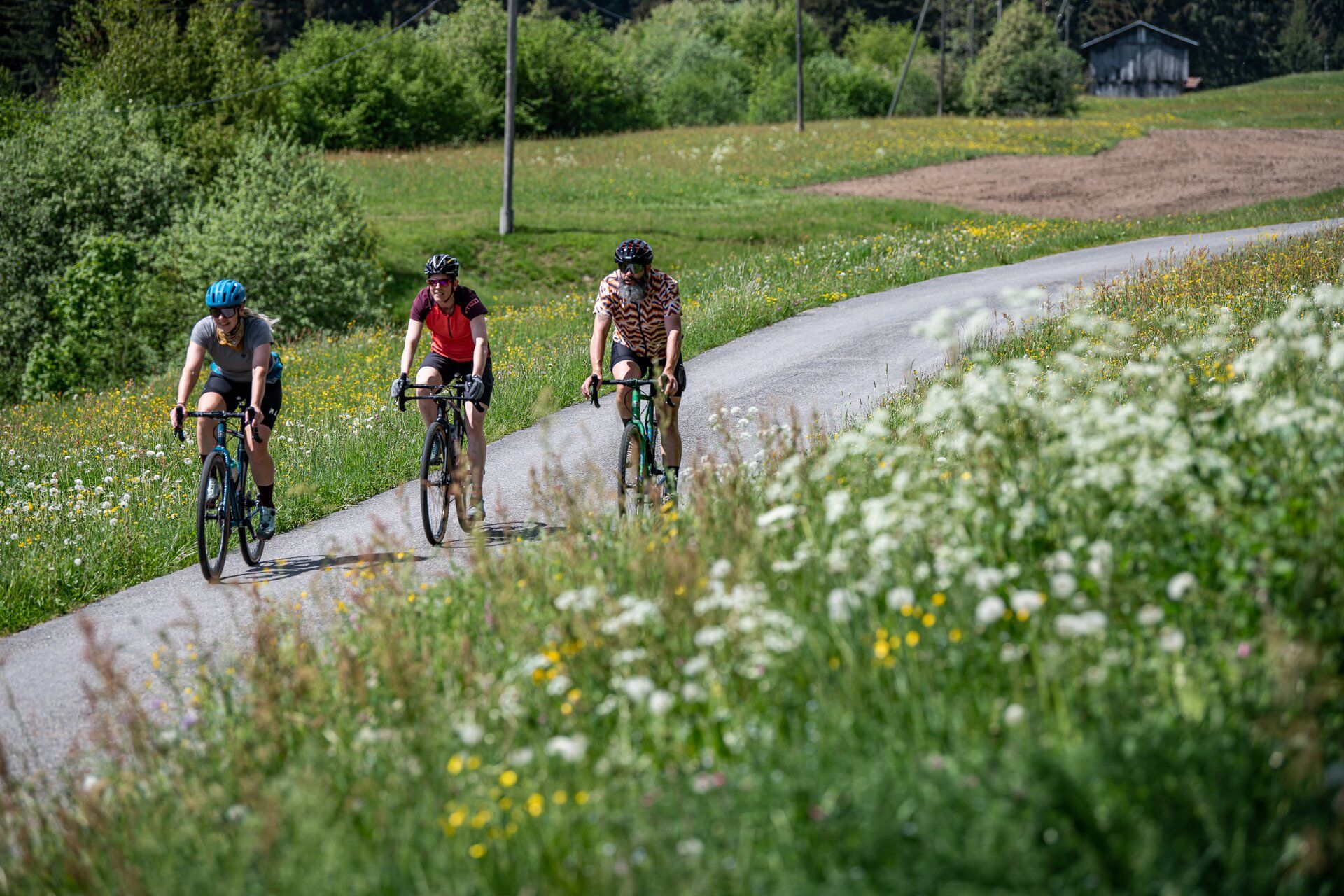
You start at the Brigels valley station in the direction of Waltensburg Curtginet - alternatively also in Waltensburg or Andiast. The natural road, with almost no inclines, is perfect for getting started....
From summer 2025, the tour will be officially marked with red bike signs. It will be given the name, 224 Gneida Bike


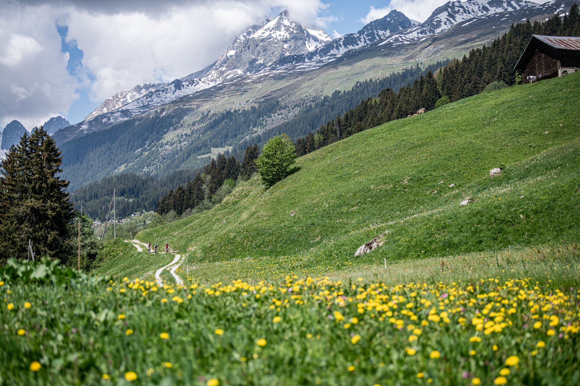


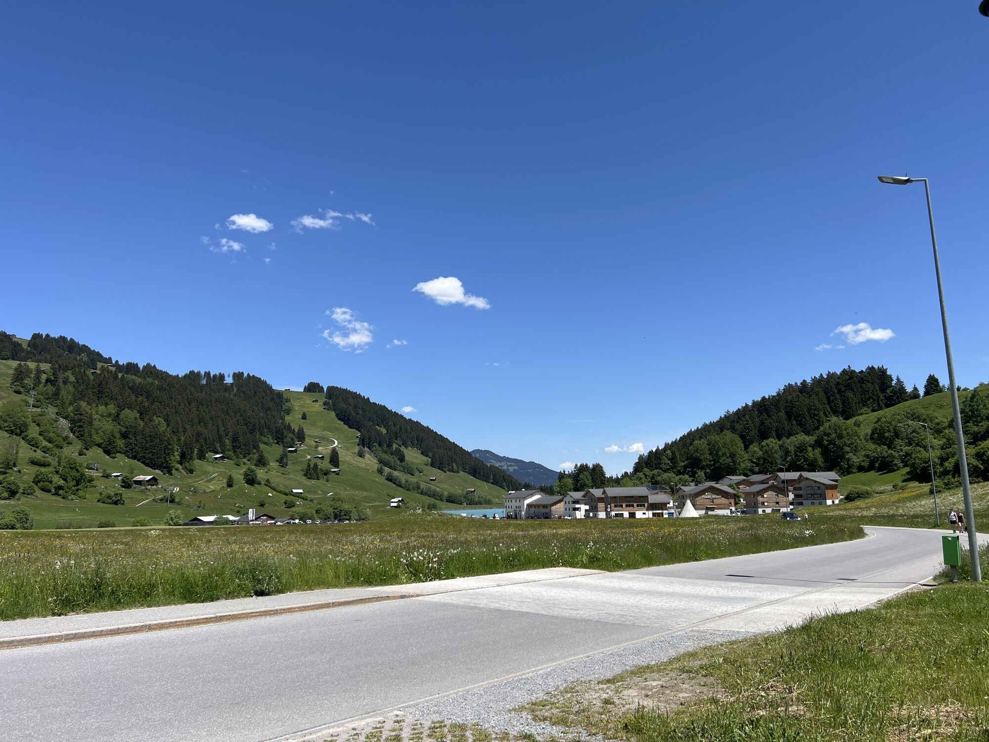
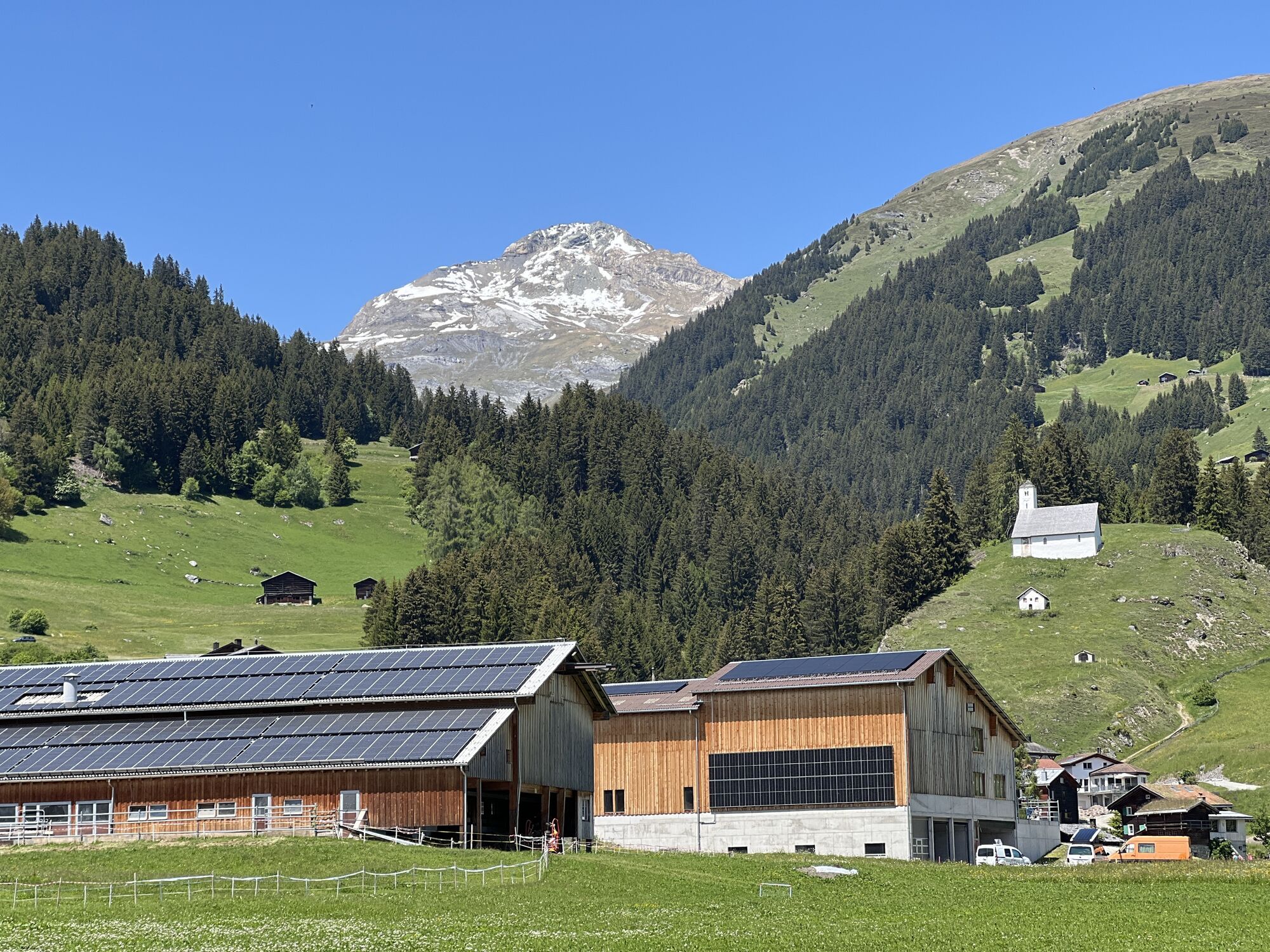
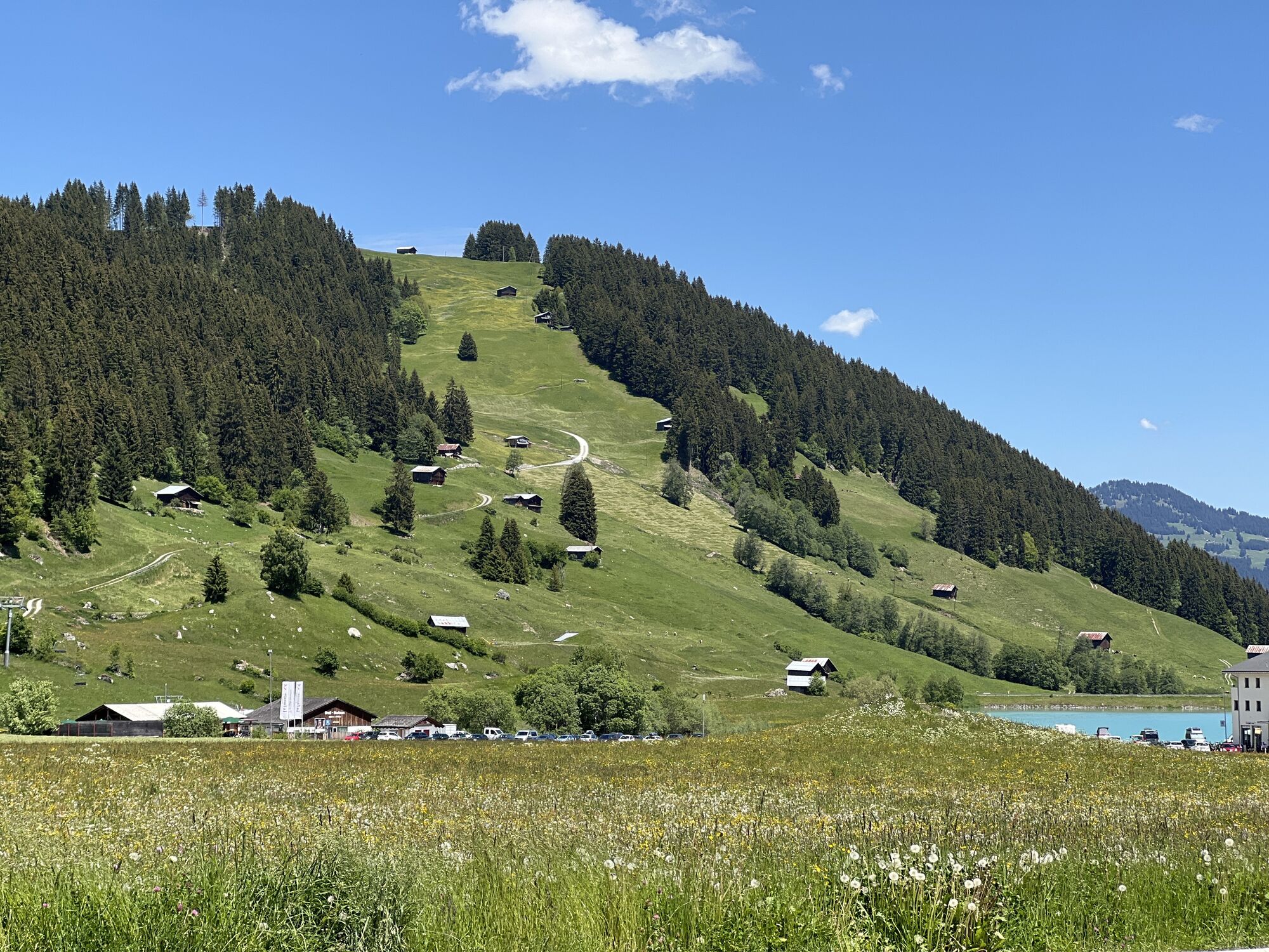
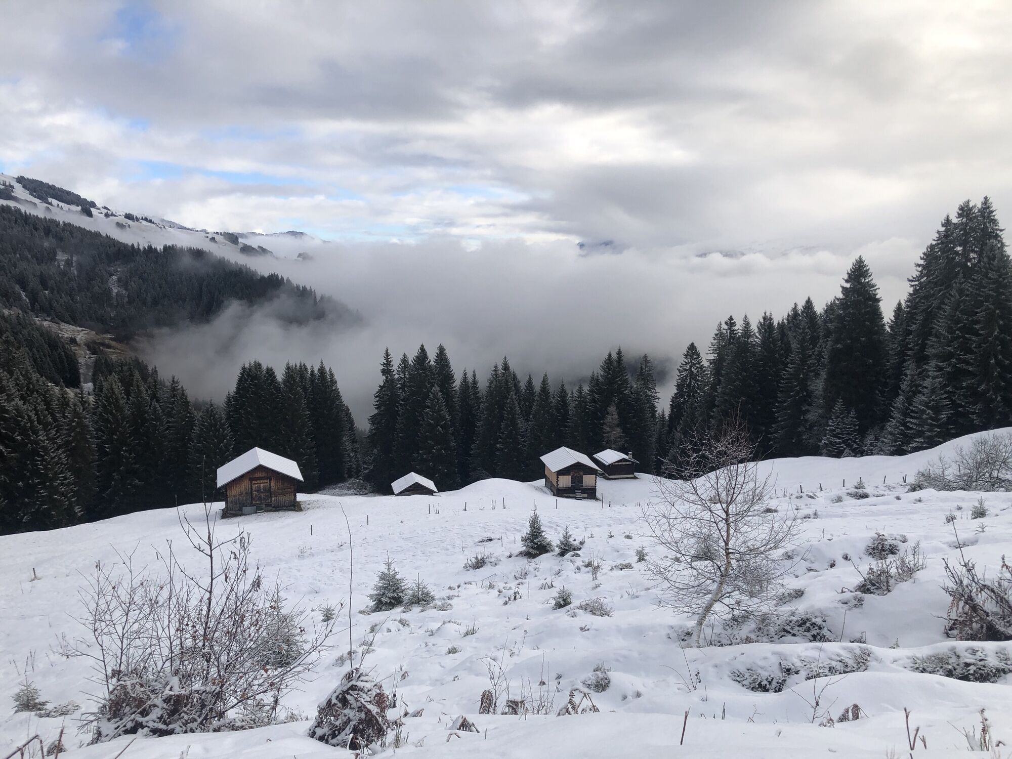
Brigels mountain railroads valley station - Migliè - Waltensburg Curtginet - Andiast - Fraissen - Cuolm Dado - Sawmill Gneida - Canischauna - Alp Dado - Burleun - Plumarscha - Sut Prada - Rumasal - Survitg - Artugl - Val Furgnaga - Sogn Giacun - Pundual - Brigels mountain railroads valley station
Mountain bike, helmet, gloves, bike shoes, goggles, rain and sun protection, drink, repair kit, first aid kit
The tour should not be undertaken in uncertain weather conditions. Weather changes are frequent in the mountains. If a rain front or similar is approaching during the hike, you should turn back in good time.
144 Emergency call, first aid
1414 Mountain rescue REGA
112 International emergency call
On the A13 to Reichenau, then on the main road 19 via Flims to Tavanasa and then up to Brigels
Parking is available at the parking lots at the valley station of the Brigels cable cars
Info Brigels
Via Principala 32
CH-7165 Breil/Brigels
Tel.: 0041 81 941 13 31
Email: brigels@surselva.info
Internet: www.surselva.info
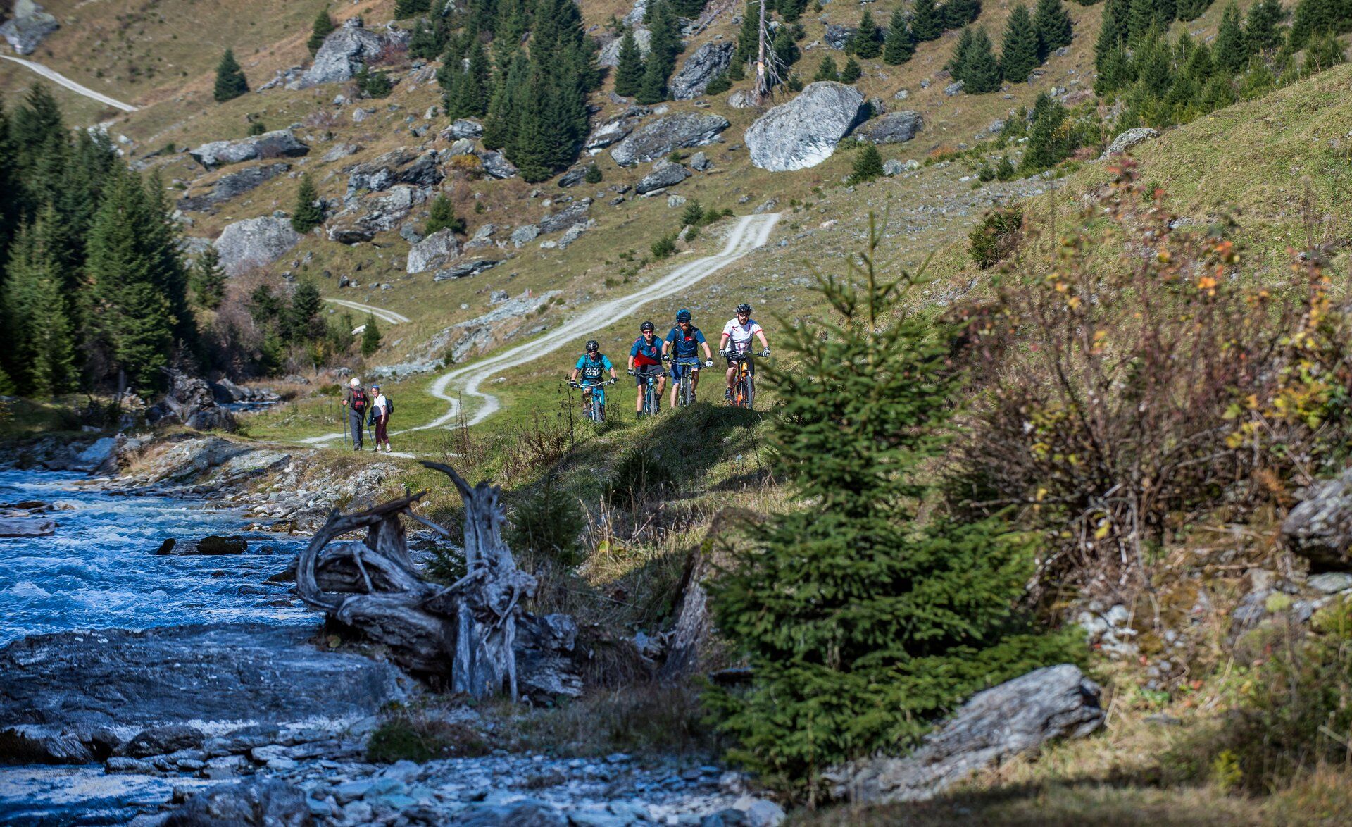
The loop via Alp Dado and Burleun can also be omitted. Between Fop and Fischalettas, the ascent and descent routes almost come together. You can easily take a shortcut there.
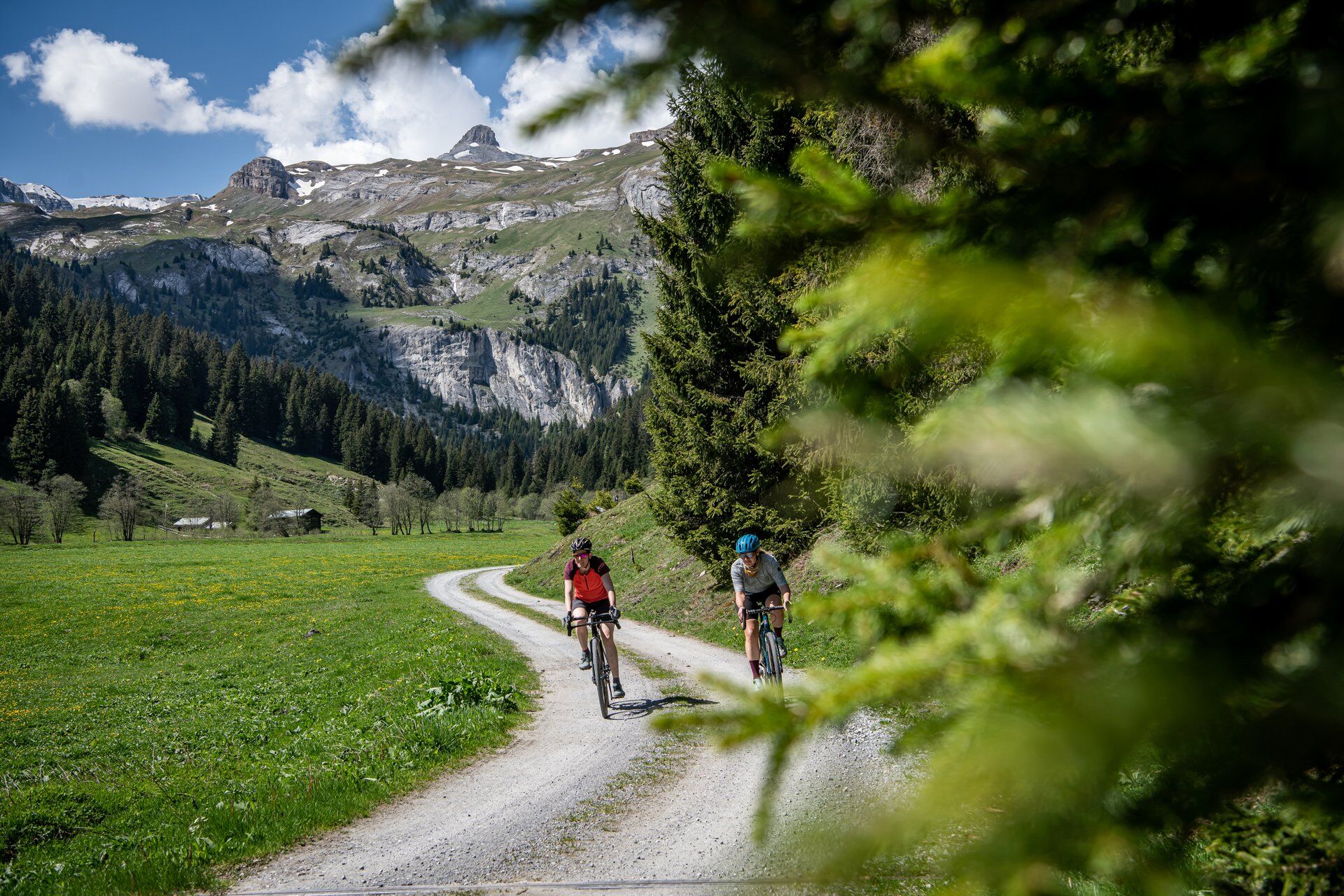
From Resgia Gneida (old sawmill) you can add an excursion on the alpine road into Val Ladral. The valley is a scenic gem and you will also find a lovely barbecue area for a lunch break. The return journey is around 2-3 kilometers and 100 meters in altitude, depending on how far into the valley you go.
Webcams del recorrido
Rutas populares en los alrededores
-
4,8
Garganta del Rin: De Ilanz a Versam en el corazón de la Garganta del Rin
medioSenderismo 11,4 km -
5,0
Valle alto Val Frisal
pesadoSenderismo 12,4 km -
5,0
Kalktrittli - Nüschentäli - Muttsee - Obersee - Muttenchopf - Mörtel - Limmerensee - Kalktrittli (durch Stollen)
medioSenderismo 14,8 km -
4,3
Excursión circular: Falera-Curnius-Alp Dadens-Falera
medioSenderismo 11,4 km -
5,0
Sendero Puente Colgante Val da Tersnaus
medioSenderismo 3,24 km -
4,7
Dutjer Alp - Vista magnífica
medioSenderismo 8,23 km -
Caminata panorámica de altura: Crap Sogn Gion - Fuorcla - Alp Nagens
medioSenderismo 9,44 km -
Excursión panorámica entre Piz Mundaun y Péz Sezner
medioSenderismo 6,75 km -
4,3
Alrededor del Grep da Plaids
medioSenderismo 8,05 km -
4,0
Falera - Laax - Falera
luzSenderismo 7,35 km
Senderismo y rastreo


No se pierda las ofertas y la inspiración para sus próximas vacaciones
Su dirección de correo electrónico se ha añadido a la lista de correo.