Navegue por
Consigue este tour en tu móvil
Mapa
Following in Janka's footsteps in Obersaxen

medio
Mountainbike
20,80 km
Escanee el código QR e inicie la navegación en la aplicación bergfex
QR Code
Senderismo y rastreo

Following in Janka's footsteps in Obersaxen
Distancia
20,8 km
Duración
03:00 h
Ascenso
569 m
Nivel del mar
1.173 - 1.713 m
Descarga de pistas
Mapa
Following in Janka's footsteps in Obersaxen
medio
Mountainbike
20,80 km

Ever since Carlo Janka's triumph at the Winter Olympics in Vancouver and his victory in the overall World Cup in 2010, Obersaxen has been a household name in the sports world. It was here that Janka developed...

Descripción de la
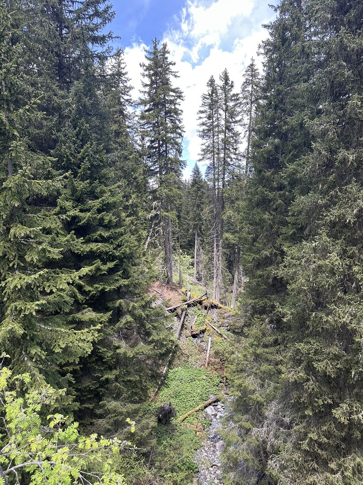
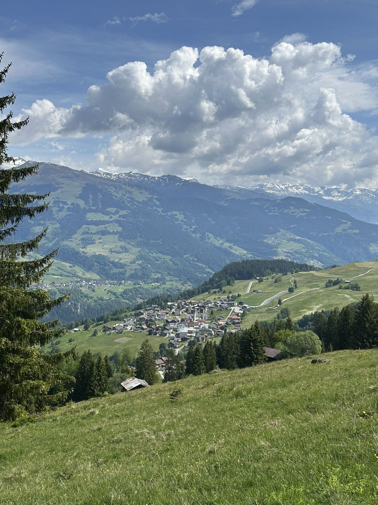
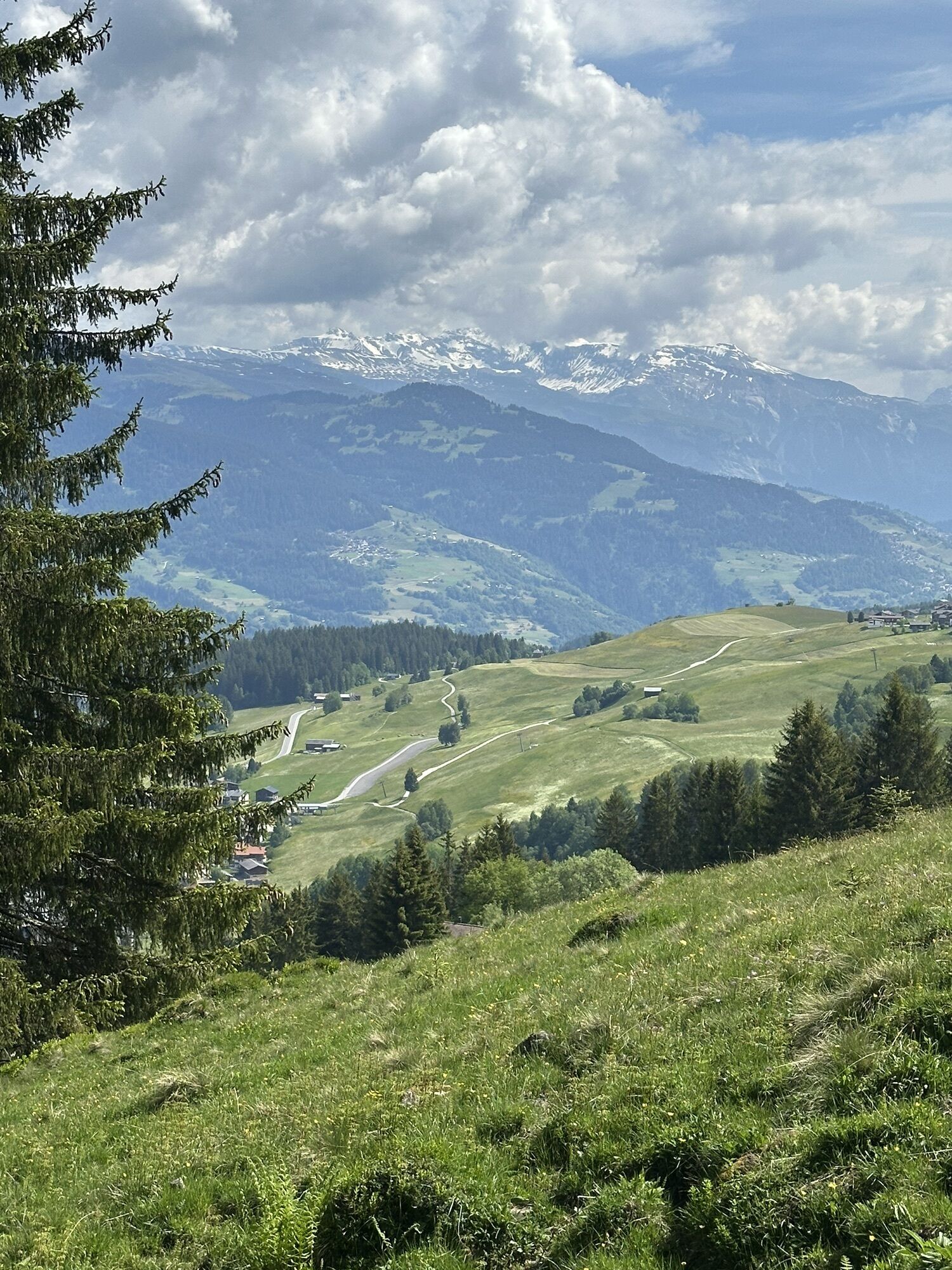
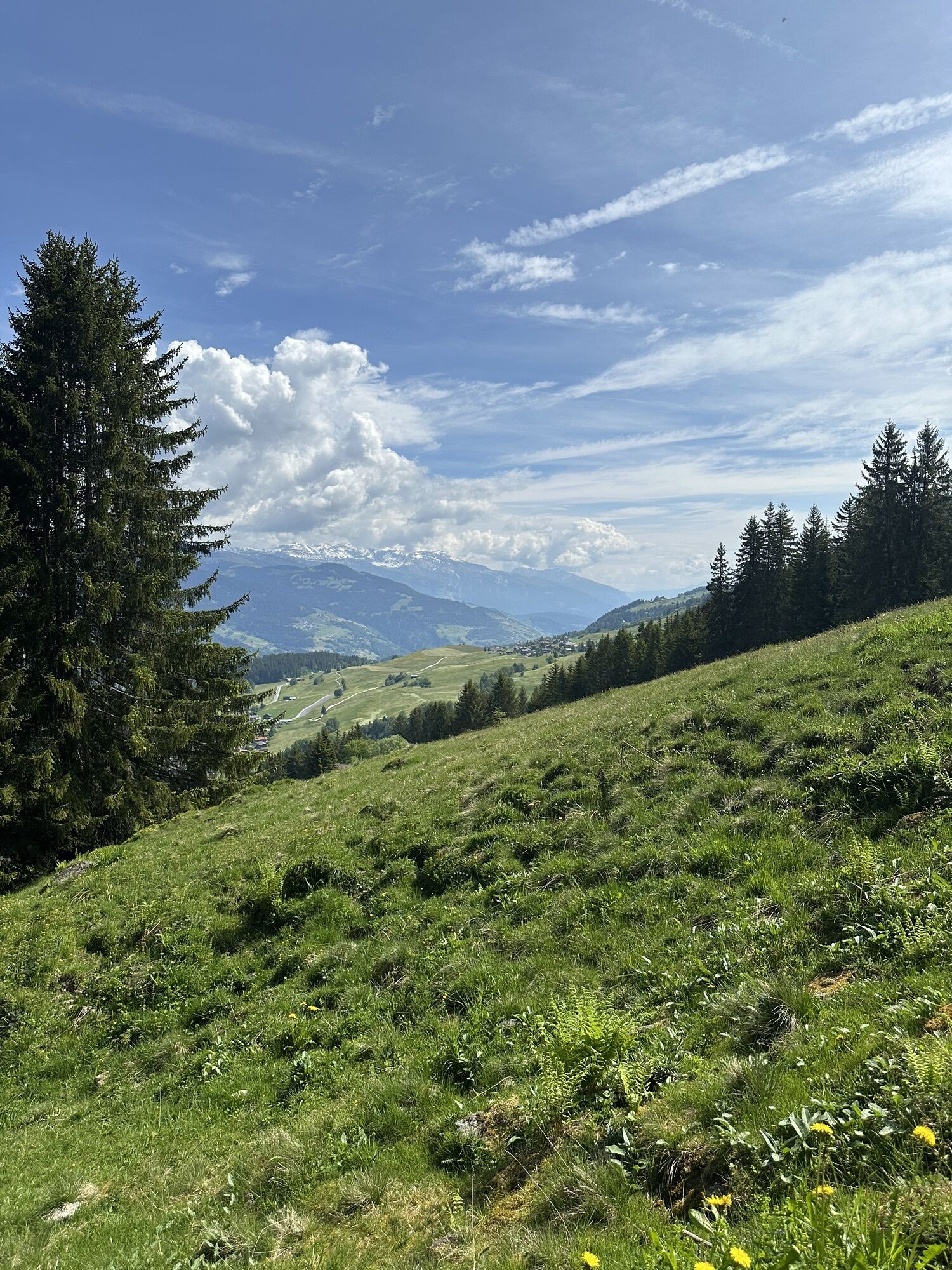
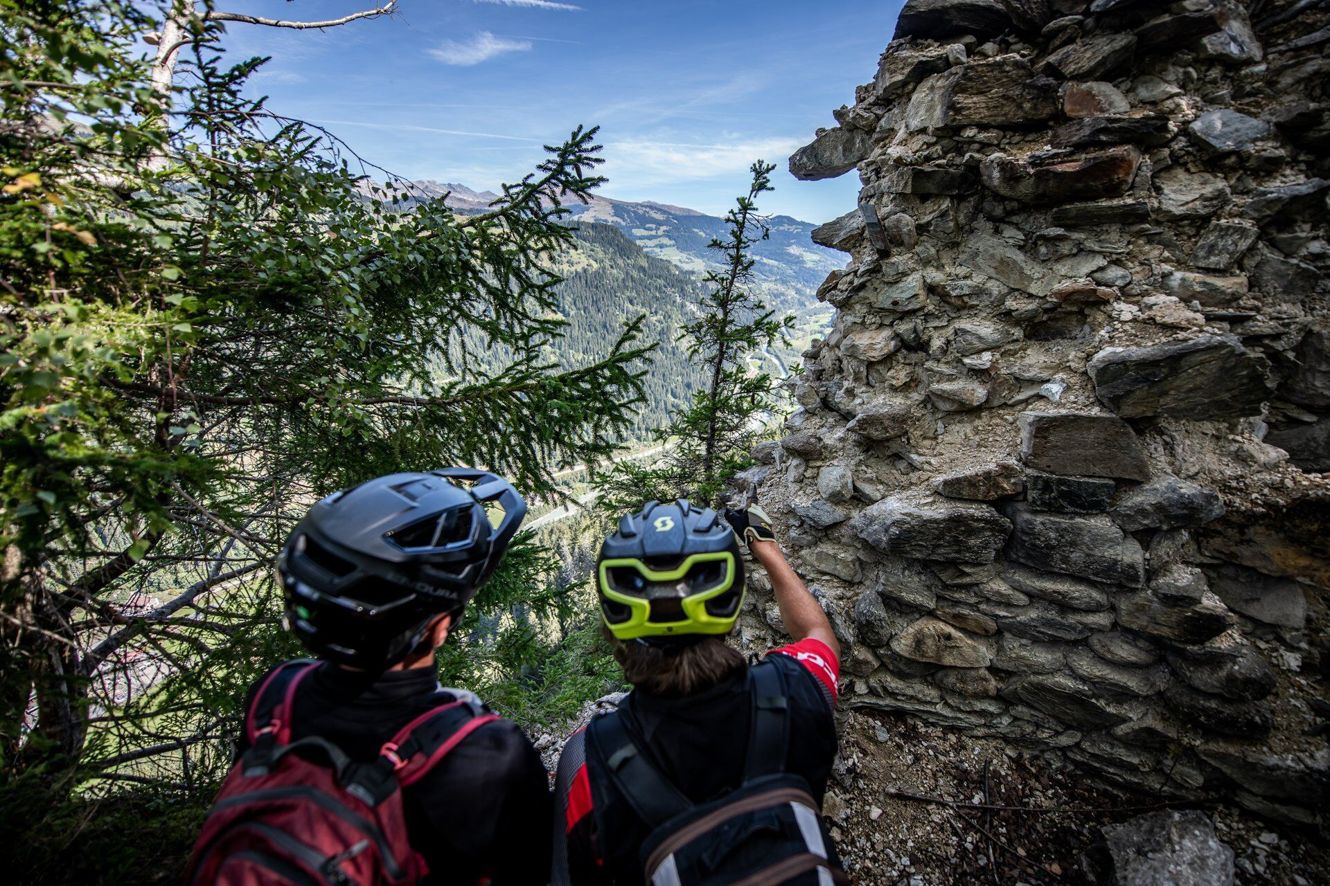
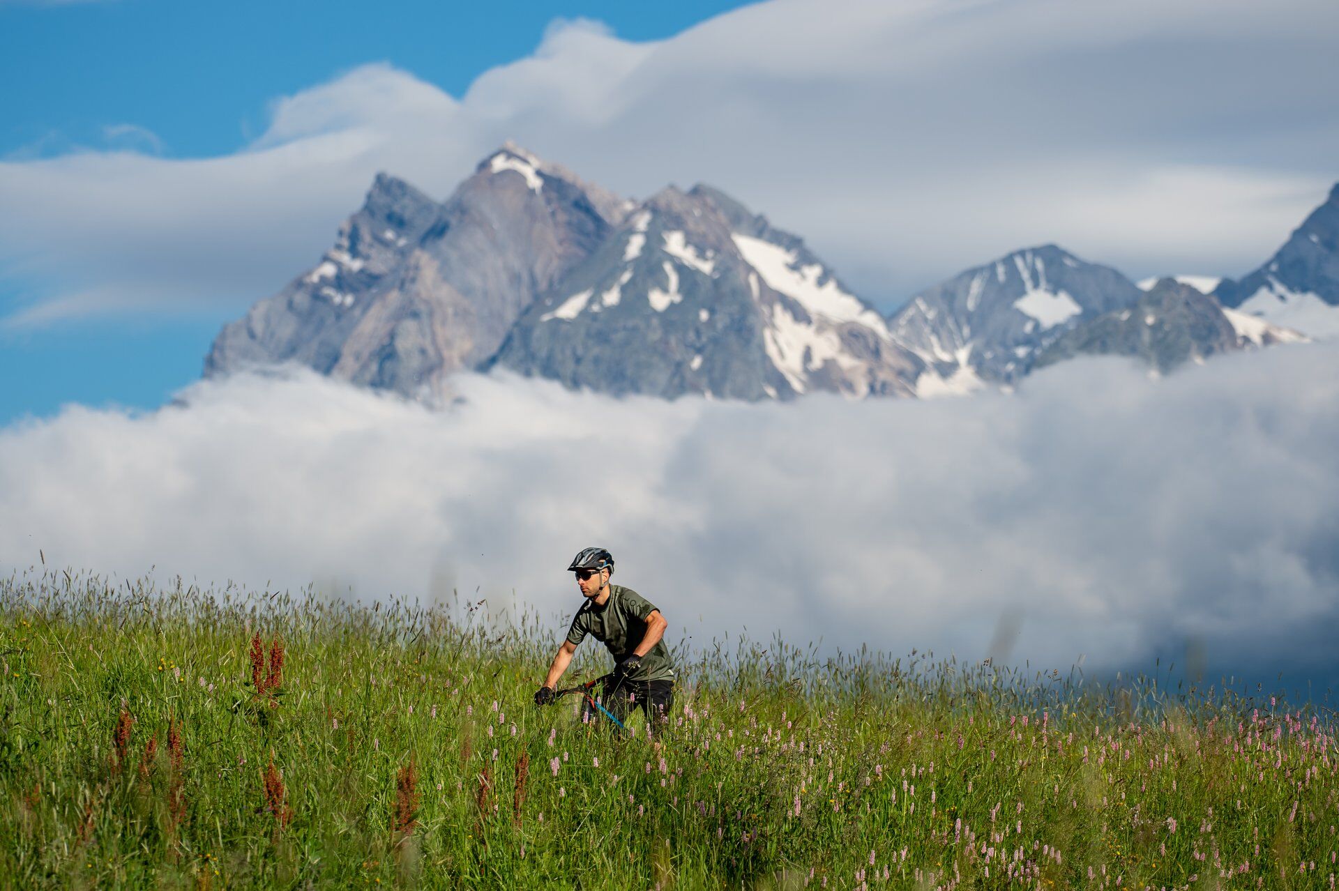
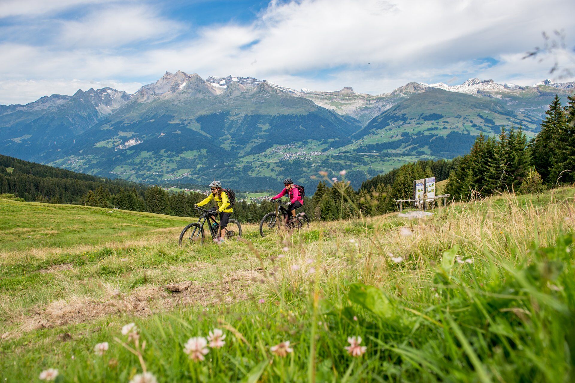
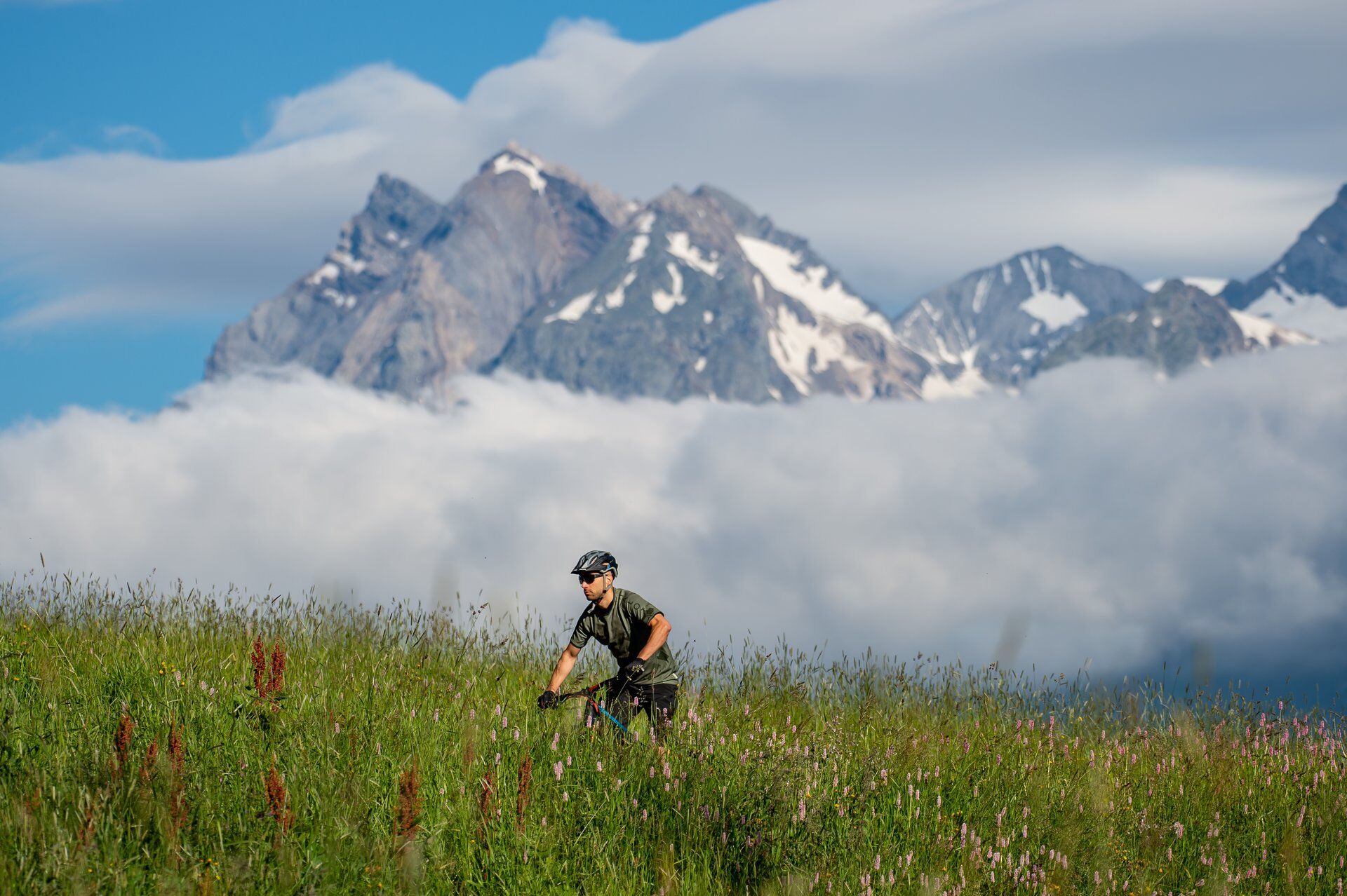
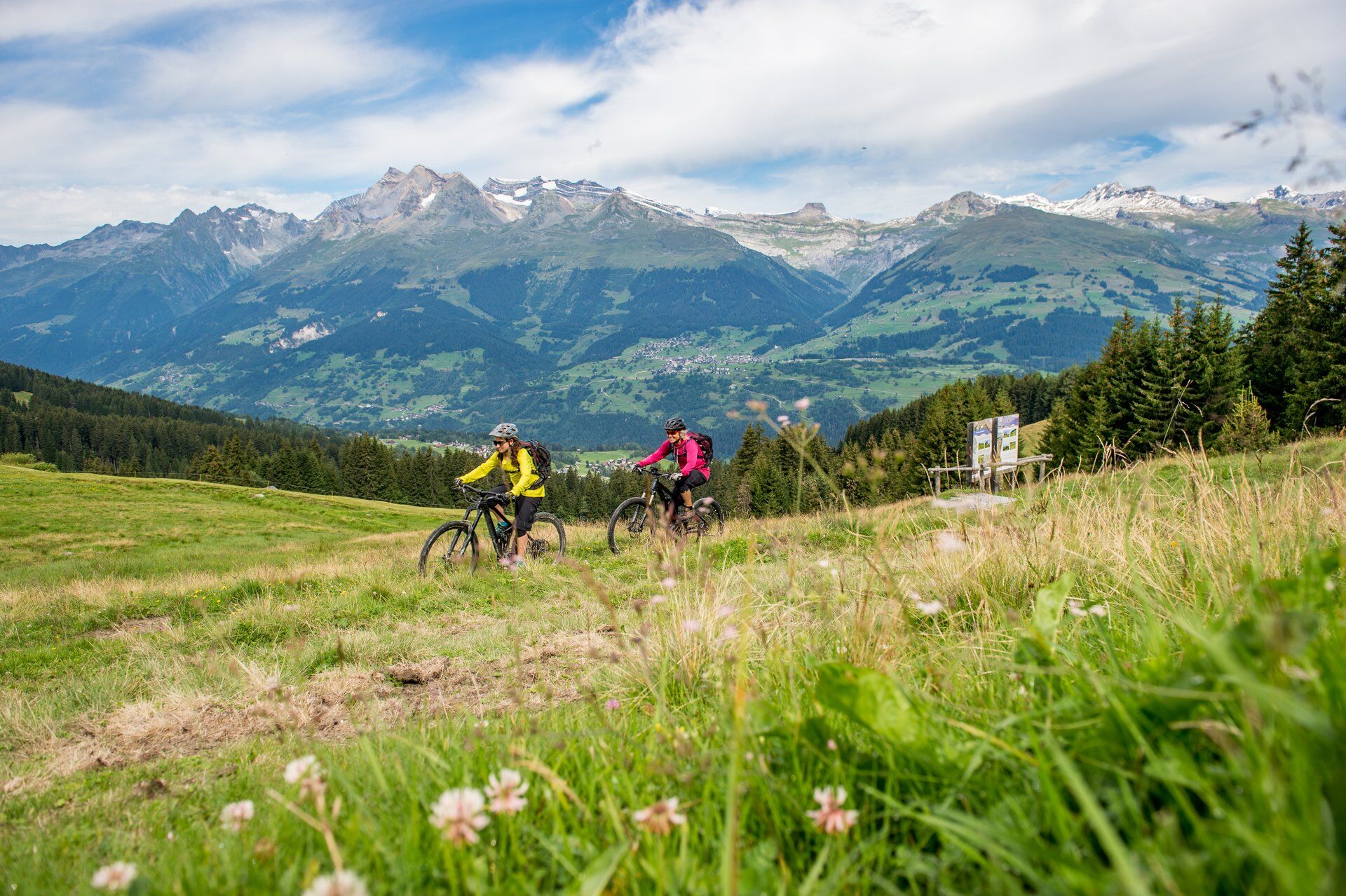
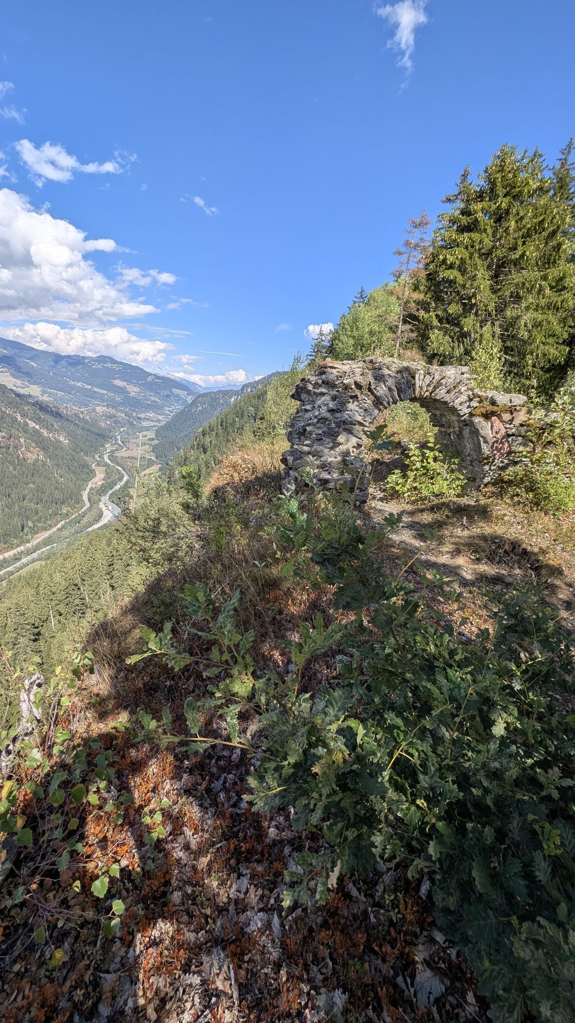
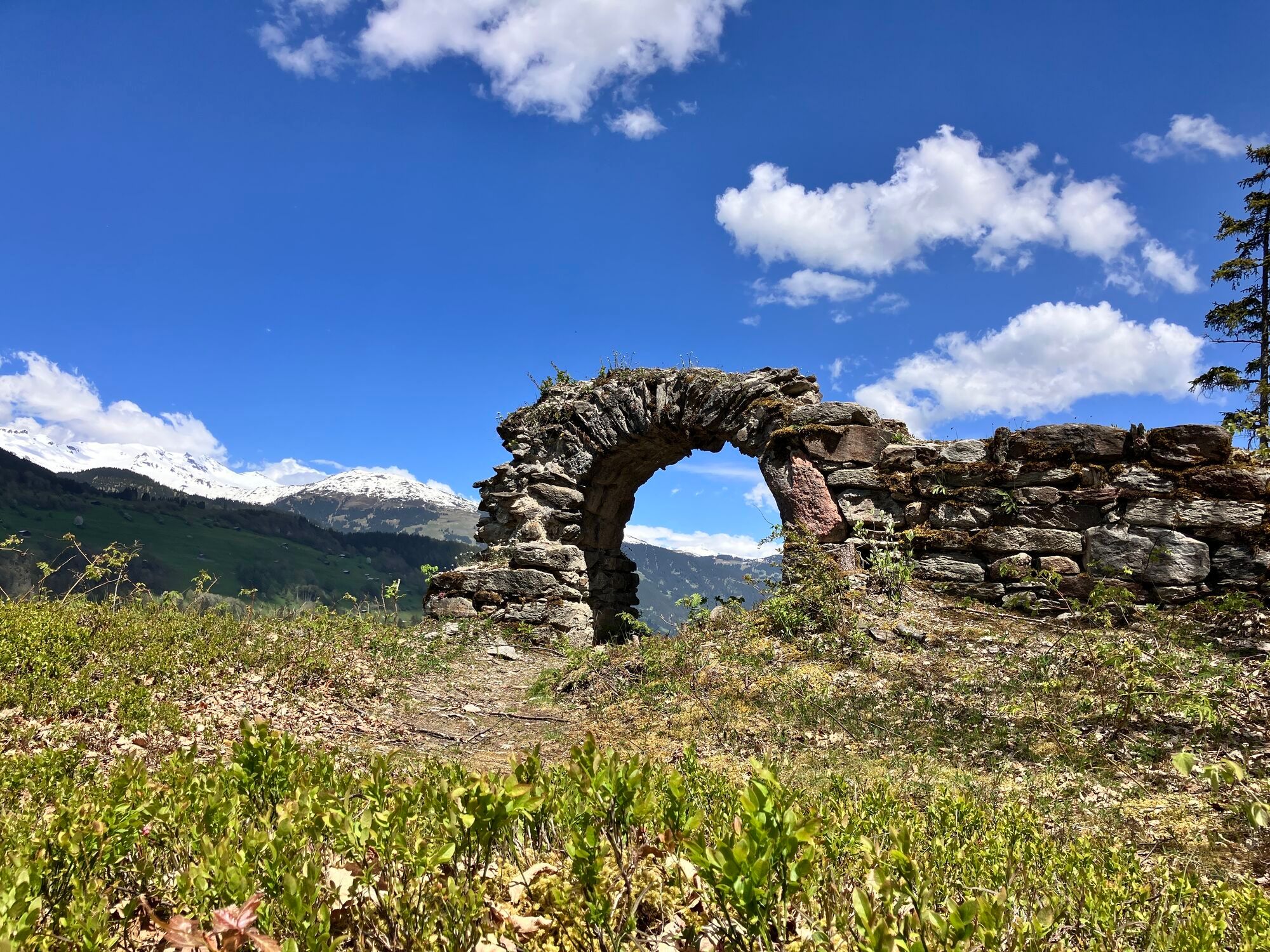
Ever since Carlo Janka's triumph at the Winter Olympics in Vancouver and his victory in the overall World Cup in 2010, Obersaxen has been a household name in the sports world. It was here that Janka developed his skiing technique to perfection. However, you can hone your technique and fitness in Obersaxen not only on skis, but also on a bike. The “Panoramatour” is one of numerous tour options. It lives up to its name with its sweeping views of the mountains and valley. And interested bikers will also get their money's worth from a cultural perspective: the route leads past the Schwarzenstein castle ruins, which were built in the 13th century by people from Rhäzüns with a sense of upscale living in the midst of secluded nature.

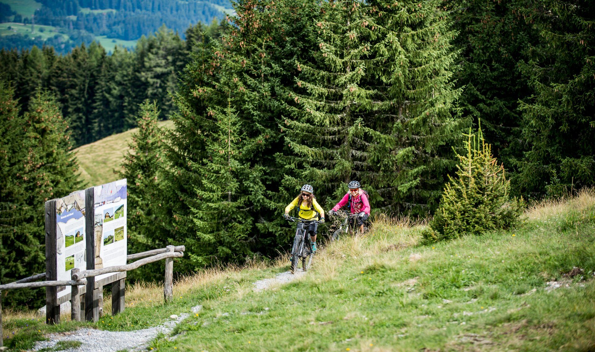
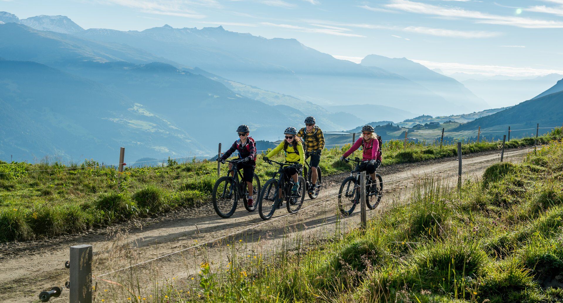
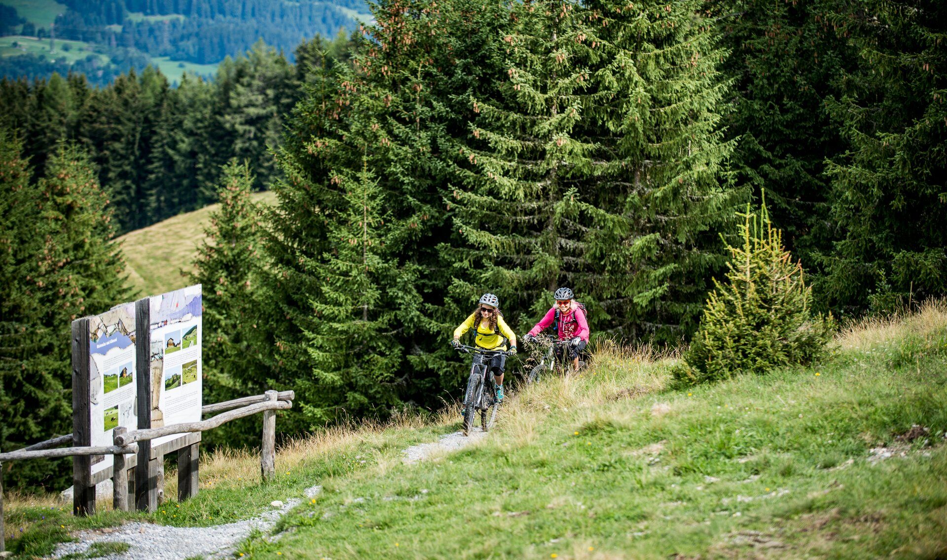
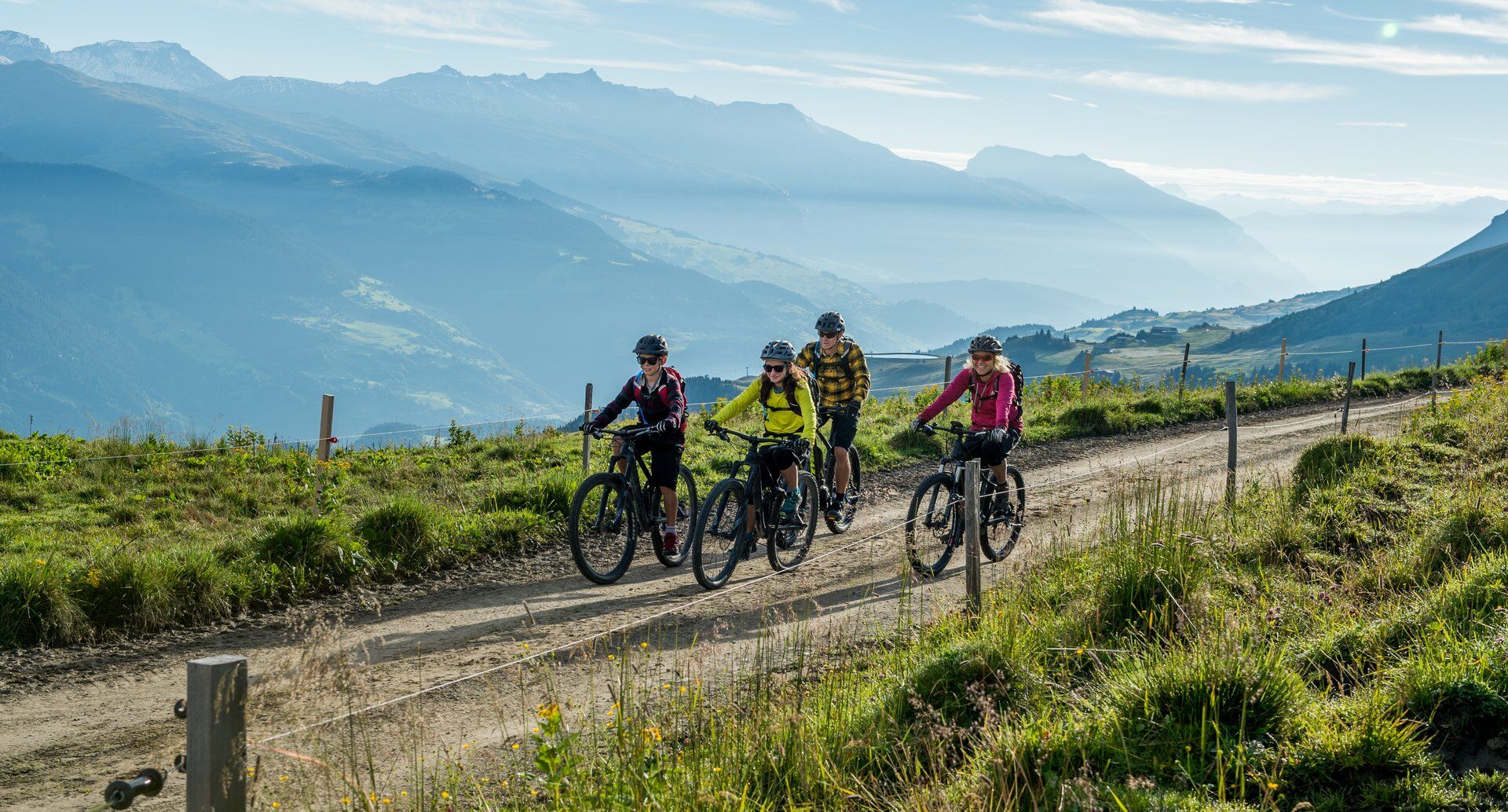
The route alternates between leisurely gravel roads and easy single trails. Fitness training can be so beautiful!

Please note: The route leads partly along the frequently hiked Walserweg. Please be considerate of hikers and keep your trail bell ringing: Trail tolerance!

Ruta
St. Peter und Paul
(1.286 m)
Lugar de culto
0,0 km
Kapelle St. Georg
(1.301 m)
Lugar de culto
0,1 km
Obersaxen-Misanenga
(1.351 m)
Pueblo
1,8 km
Permanigia
(1.552 m)
Corredor/terreno
5,9 km
Under Medera
(1.672 m)
Corredor/terreno
9,7 km
Giraniga
(1.268 m)
Liquidación
15,9 km
Obersaxen-Pilavarda
(1.303 m)
Liquidación
16,3 km
Ruta
Mapa
Following in Janka's footsteps in Obersaxen
medio
Mountainbike
20,80 km
St. Peter und Paul
(1.286 m)
Lugar de culto
0,0 km
Meierhof
(1.284 m)
Pueblo
0,0 km
Kapelle St. Georg
(1.301 m)
Lugar de culto
0,1 km
Obersaxen-Miraniga
(1.423 m)
Pueblo
0,5 km
Obersaxen-Misanenga
(1.351 m)
Pueblo
1,8 km
Obersaxen-Affeier
(1.288 m)
Pueblo
2,3 km
Bialboda
(1.499 m)
Corredor/terreno
4,5 km
Purminiga
(1.509 m)
Corredor/terreno
5,1 km
Permanigia
(1.552 m)
Corredor/terreno
5,9 km
Cuolm Sura
(1.601 m)
Restaurante
6,6 km
Coller
(1.566 m)
Corredor/terreno
7,2 km
Gischniga
(1.548 m)
Corredor/terreno
8,1 km
Leo's Snack Bar
(1.608 m)
Restaurante
8,9 km
Obersaxen Untermatt
(1.618 m)
Estación de góndola
9,2 km
Under Medera
(1.672 m)
Corredor/terreno
9,7 km
Ober Malient
(1.649 m)
Corredor/terreno
10,9 km
Malient
(1.618 m)
Corredor/terreno
11,2 km
Giraniga
(1.268 m)
Liquidación
15,9 km
Obersaxen-Pilavarda
(1.303 m)
Liquidación
16,3 km
St. Josef
(1.254 m)
Corredor/terreno
16,6 km
Obersaxen Tusa
(1.212 m)
Liquidación
18,7 km
Tusler Boda
(1.212 m)
Corredor/terreno
19,2 km
St. Peter und Paul
(1.286 m)
Lugar de culto
20,7 km
Meierhof
(1.284 m)
Pueblo
20,8 km
Información turística

You can hone your technique and fitness in Obersaxen not only on skis, but also in the saddle. Improve your riding technique in the surroundings of Obersaxen. The fun certainly doesn't fall by the wayside in the land where Olympic alpine skiing champion Carlo Janka has his home.

Naturaleza de la ruta
Ensayo
Tecnología
3 / 6
Condición
2 / 6
Paisaje
5 / 6
Experiencia
4 / 6
La mejor época del año
Ene
Feb
Mar
Abr
May
Jun
Jul
Ago
Sep
Oct
Nov
Dic
Autor
Proporcionado por Surselva Tourismus AG
Logo
Compartir gira
Mapa
Following in Janka's footsteps in Obersaxen
medio
Mountainbike
20,80 km
Error
Se ha producido un error. Por favor, inténtelo de nuevo.
Información sobre la ruta
Ruta

Meierhof - Misanenga - Platenga - Untermatt - Kartitscha - Wali - Tristel - St. Josef - Schwarzenstein - Tusa - Markal - Meierhof

Adecuado para familias

Sí

Equipamiento

Mountain bike, helmet, gloves, bike shoes, goggles, rain and sun protection, drink, repair kit, first aid kit

Instrucciones de seguridad
The tour should not be undertaken in uncertain weather conditions. Weather changes are frequent in the mountains. If a rain front or similar is approaching during the hike, you should turn back in good time.


144 Emergency call, first aid

1414 Mountain rescue REGA

112 International emergency call

Información de llegada
Llegada
From Ilanz via Flond to Obesaxen Meierhof

From Disentis/Tavanasa via Axastein to Obersaxen Meierhof

Transporte público

By post bus from Ilanz to Obersaxen Meierhof

Aparcamiento

Sufficient parking spaces are available in the center of Meierhof

Información adicional y consejos
Consejos
Worth seeing: Schwarzenstein castle ruins. Only a small sign points to this hidden gem.

If you are traveling by e-bike, you can benefit from a total of four charging stations: Rufali Park, Cuolm Sura, Undermatt, Wali

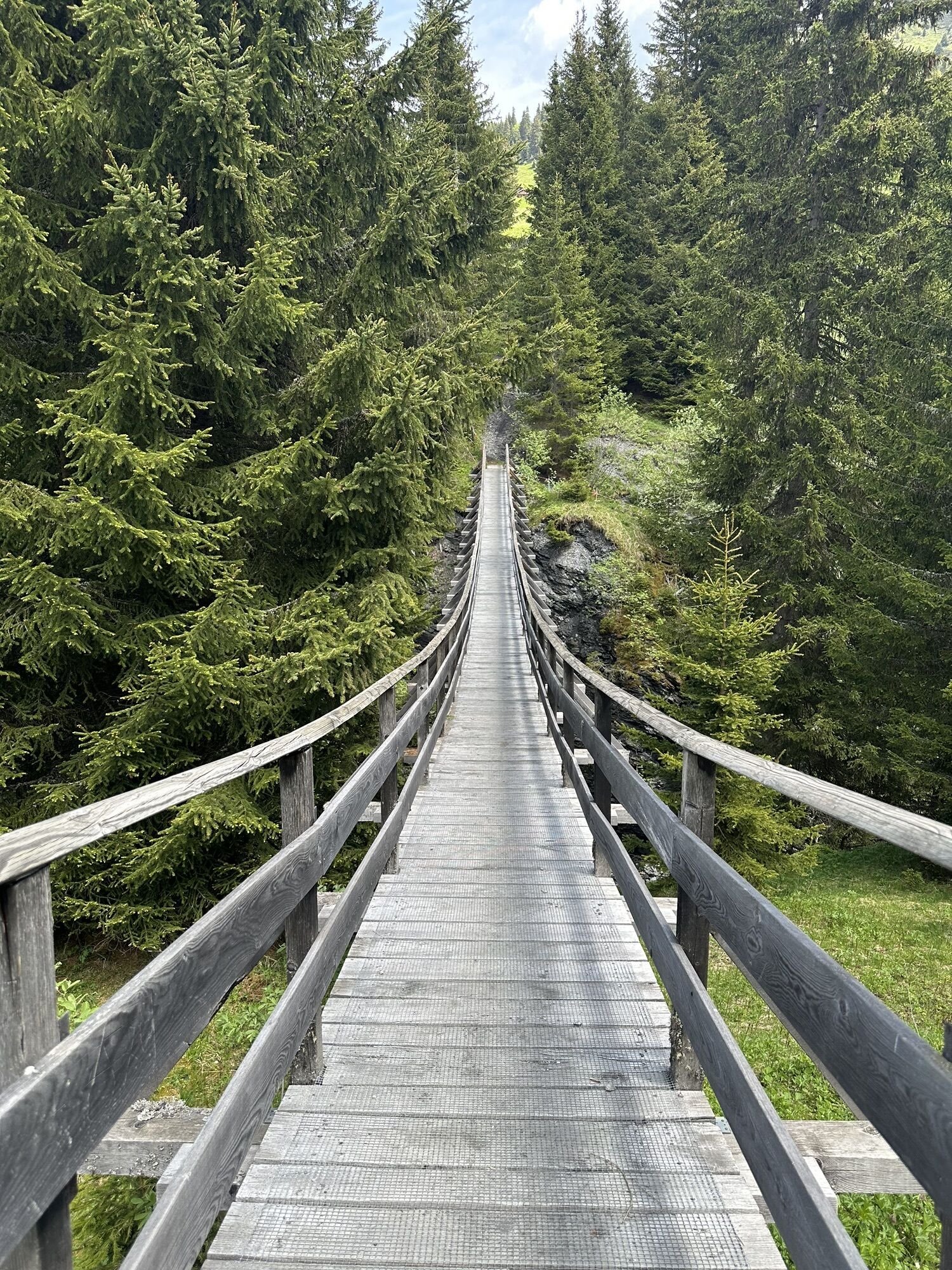
If you want to skip the Wali mountain inn, you can also ride over the Hängbrücke bridge at Imschlacht.

Valoraciones
5,0
5
(2)
4
(0)
3
(0)
2
(0)
1
(0)
1 Comentario
Avatar de Marco Allemann
Marco Allemann
07. sep.. 2024
Schöne Rundtour
Akku Ladestationen bei den Bergbahnen vorhanden. Grosses Lob an die Betreiber!
Útil (0) |
Informe
Error
Se ha producido un error. Por favor, inténtelo de nuevo.
Escriba un comentario

Las opiniones ayudan a otros usuarios a elegir su próxima aventura. Por favor, valora solo el tour, no el tiempo o tu aperitivo.

Seleccione una de las estrellas para puntuar el recorrido
Mal tour
Gira débil
Visita mediocre
Buena visita
Excelente recorrido
Senderismo y rastreo

Senderismo y rastreo

Senderismo y rastreo
Más de 550.000 sugerencias de excursiones, mapas detallados y un intuitivo planificador de rutas hacen de esta aplicación una herramienta imprescindible para todos los amantes de la naturaleza.
bergfex