


72 Camino de altura Prättigauer de Landquart a Klosters (4 etapas)
Nivel de dificultad: T2


Nuestros consejos para el camino de altura Prättigauer:
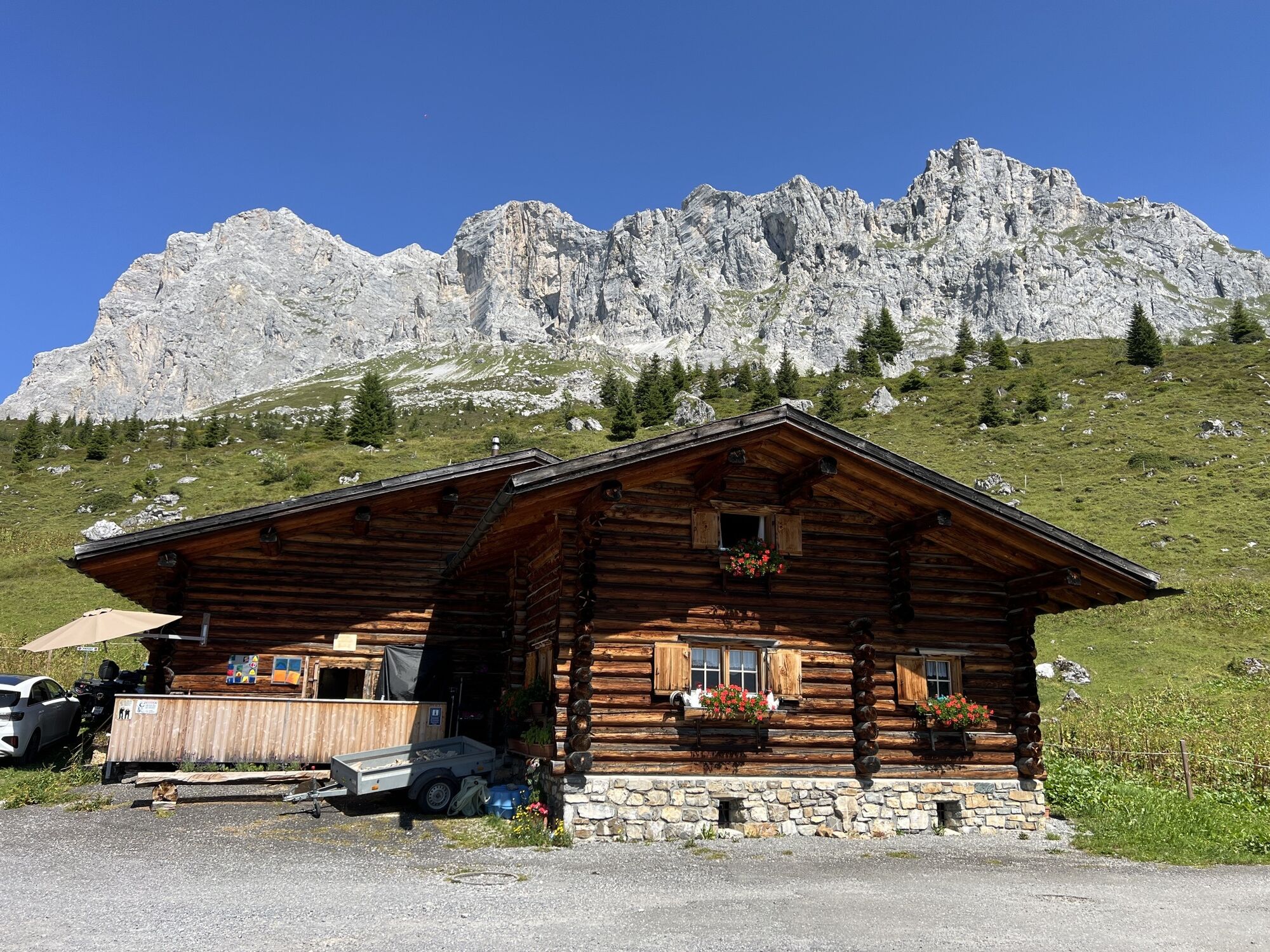
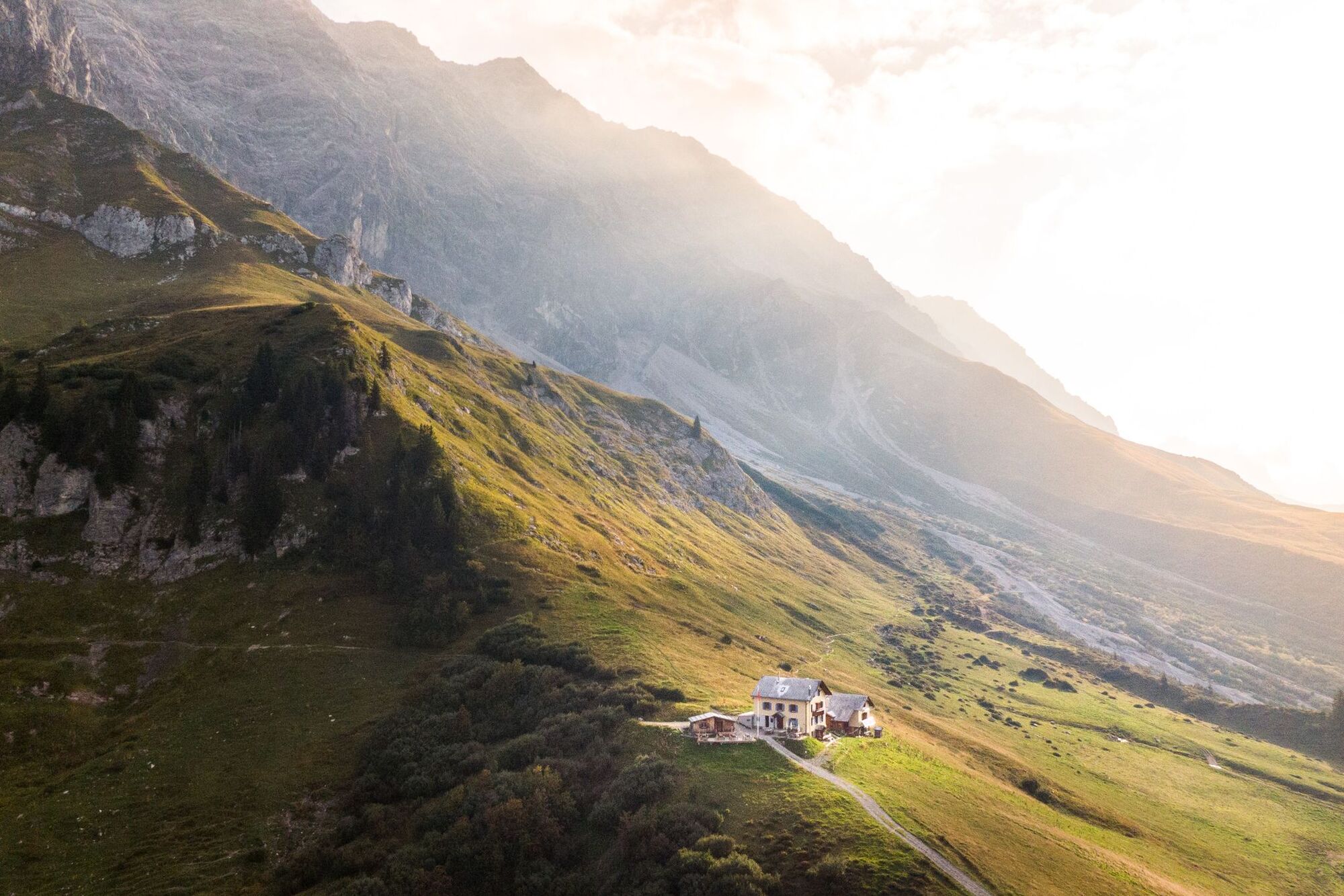
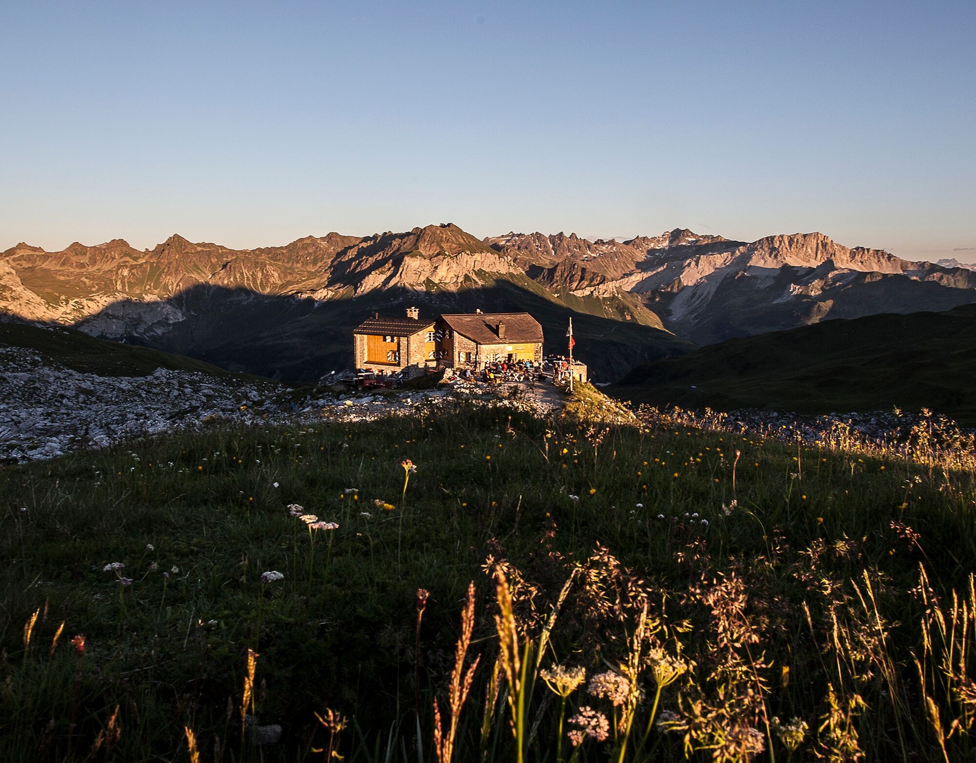
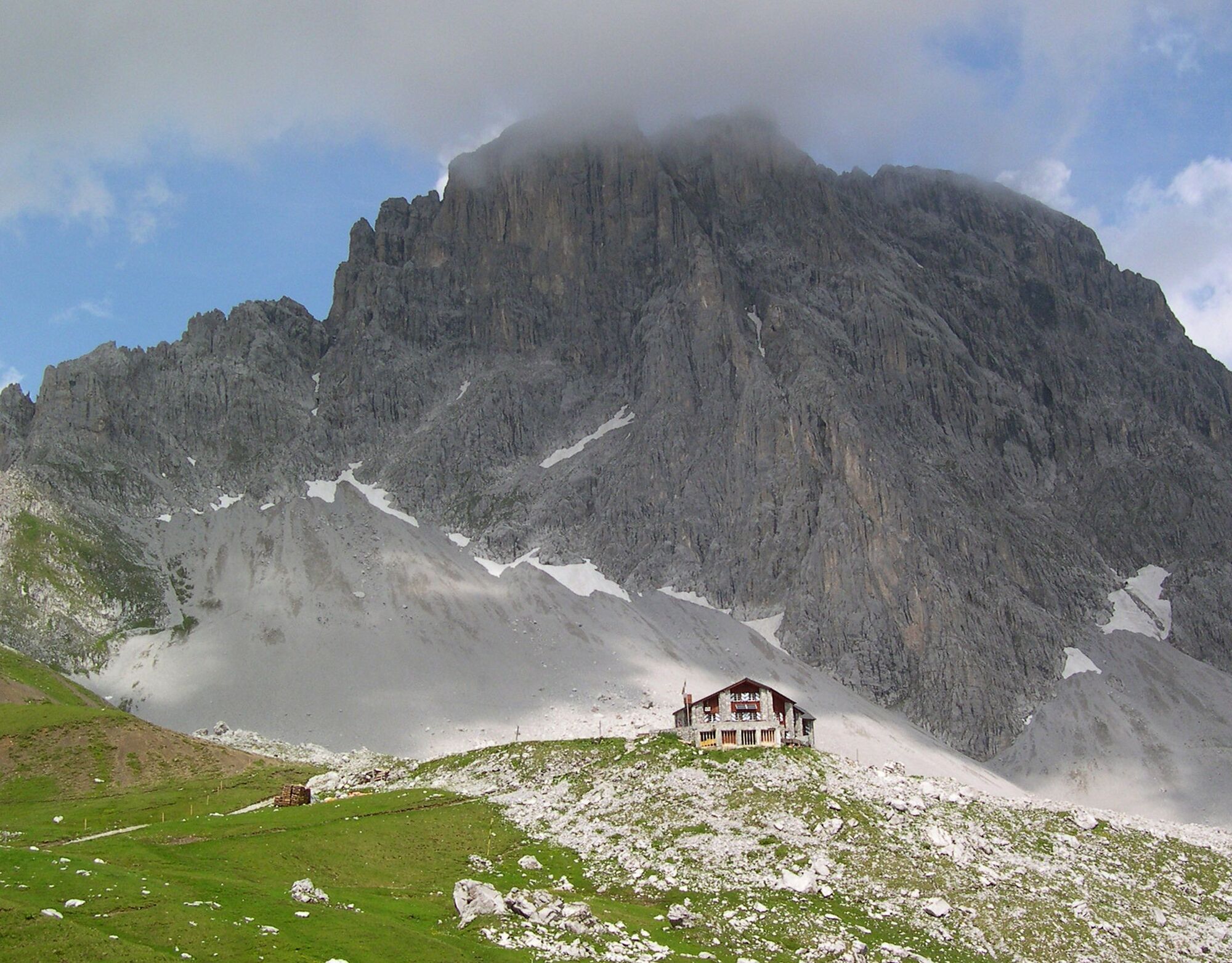
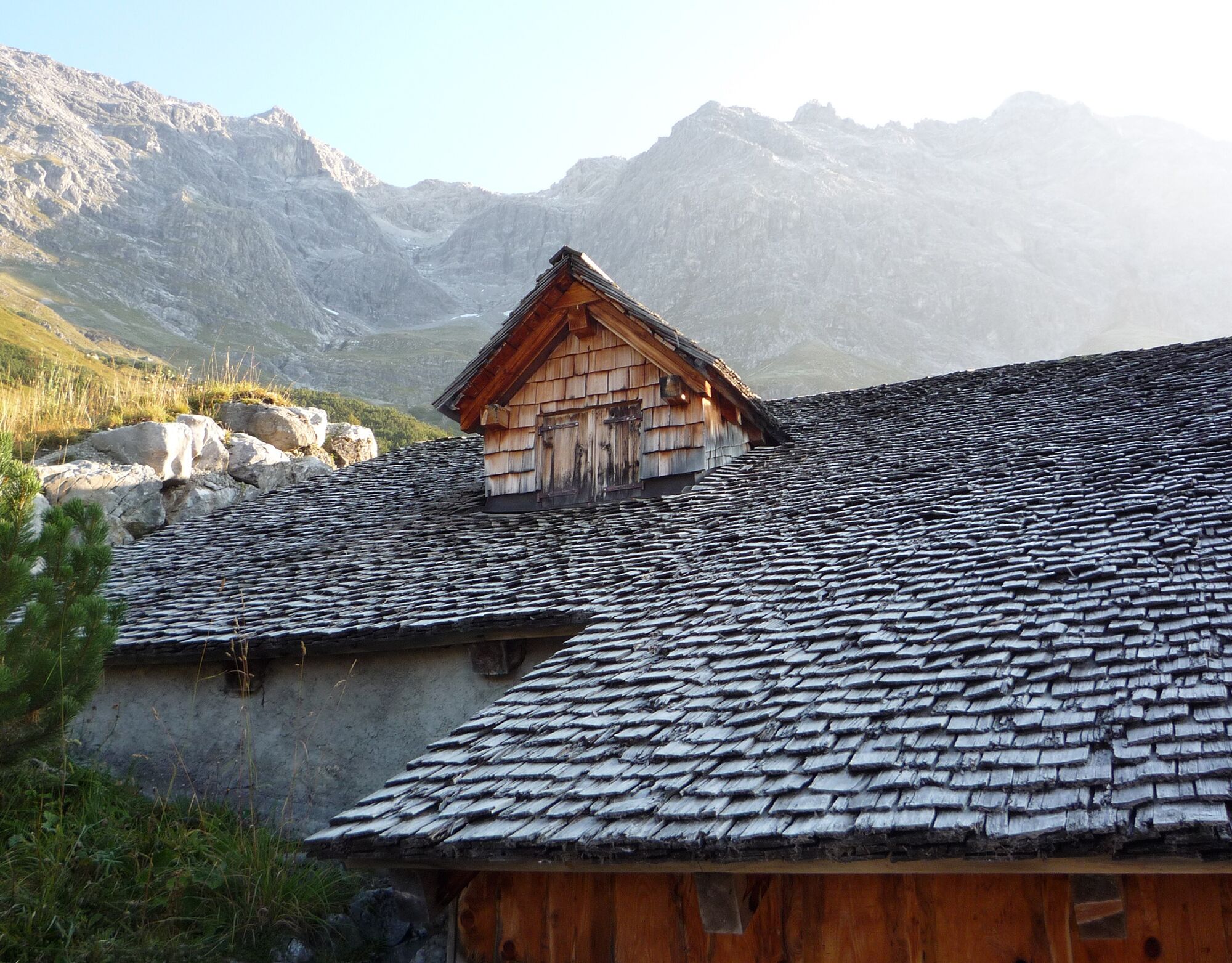
Cabaña Schesaplana SAC: Lugar para pernoctar en un entorno encantador. La cabaña se encuentra en los pastizales alpinos bajo la impresionante bastión...Nuestros consejos para el camino de altura Prättigauer:
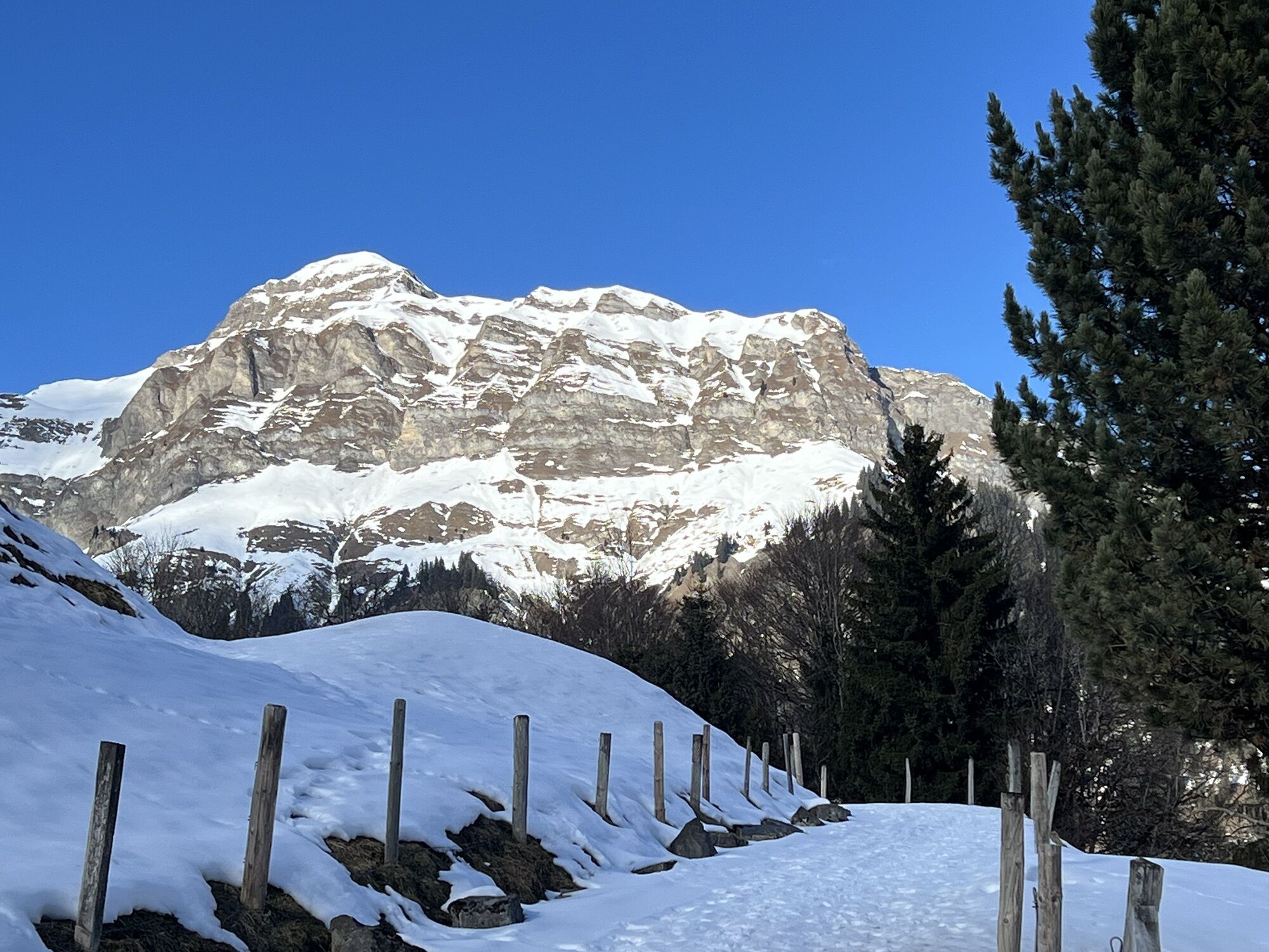
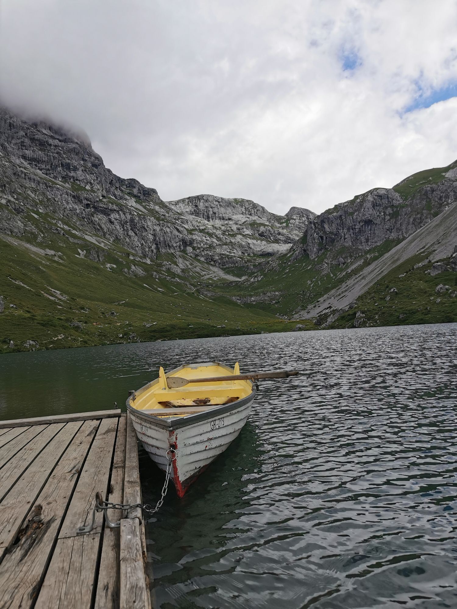
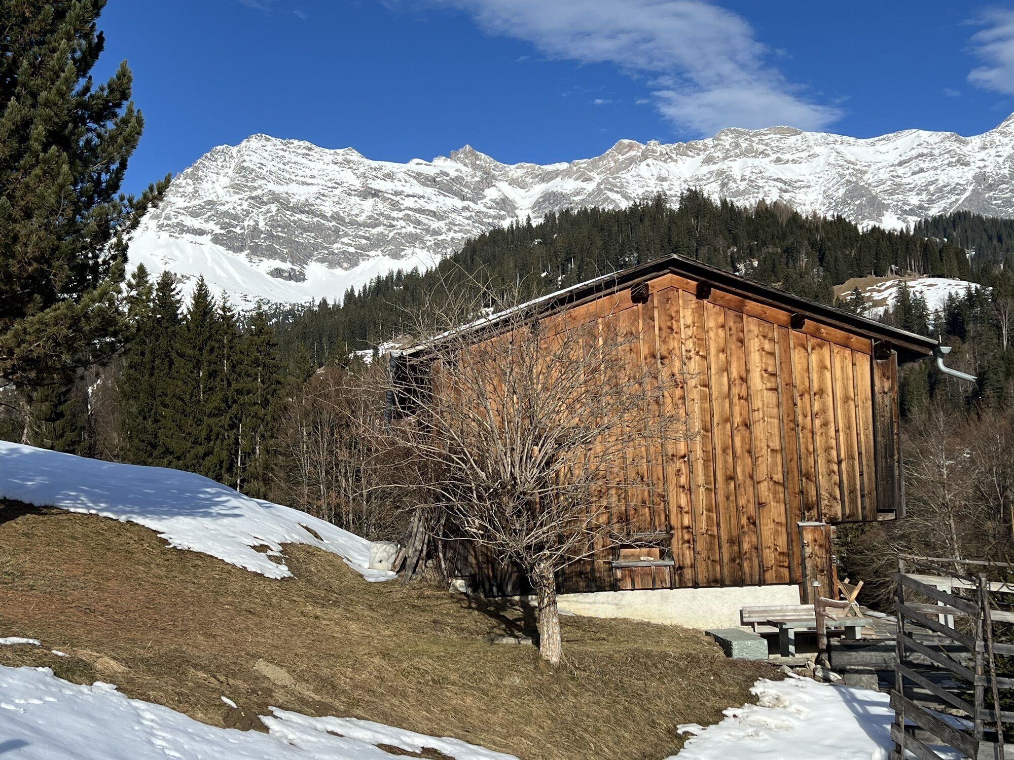
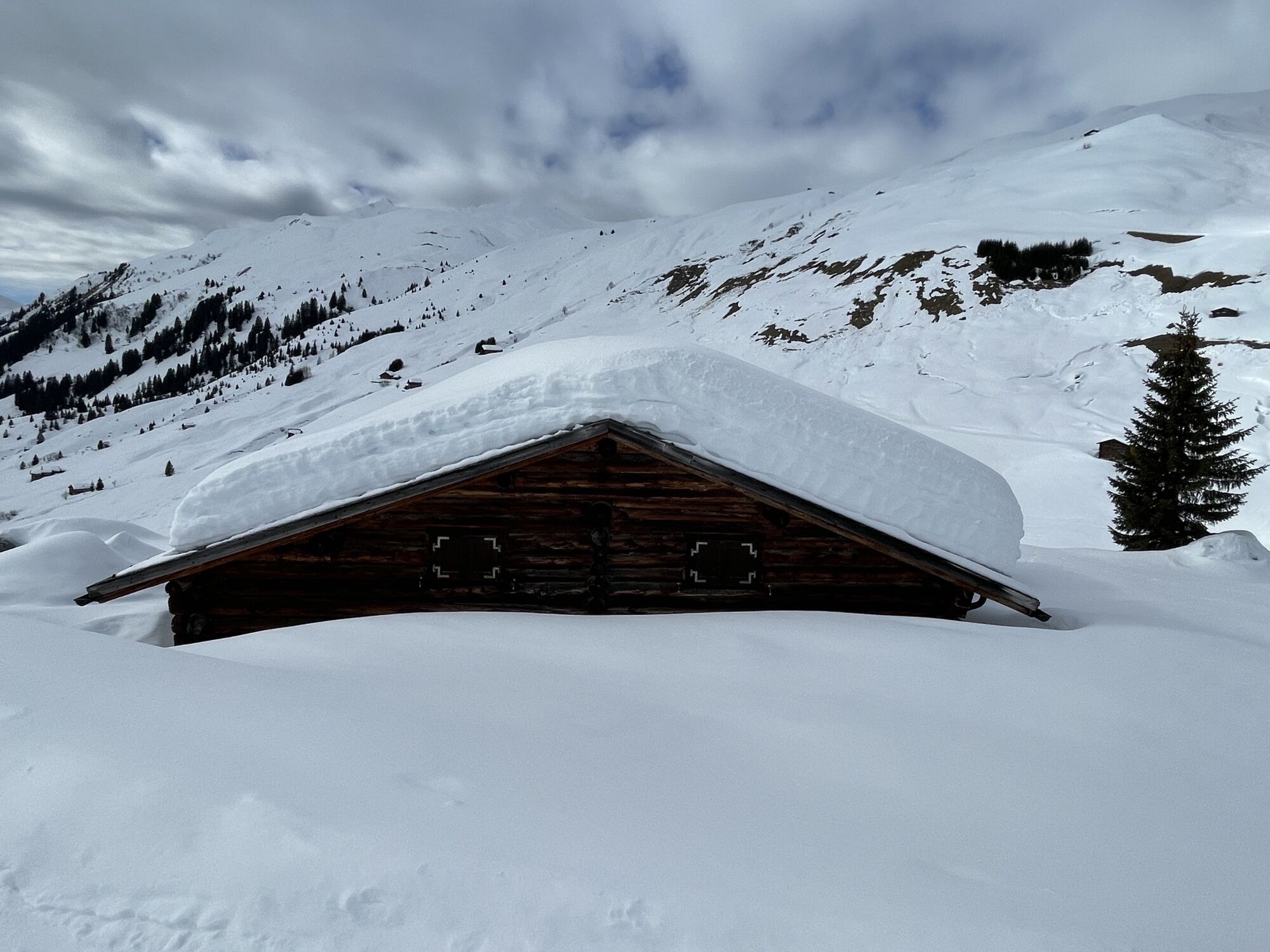
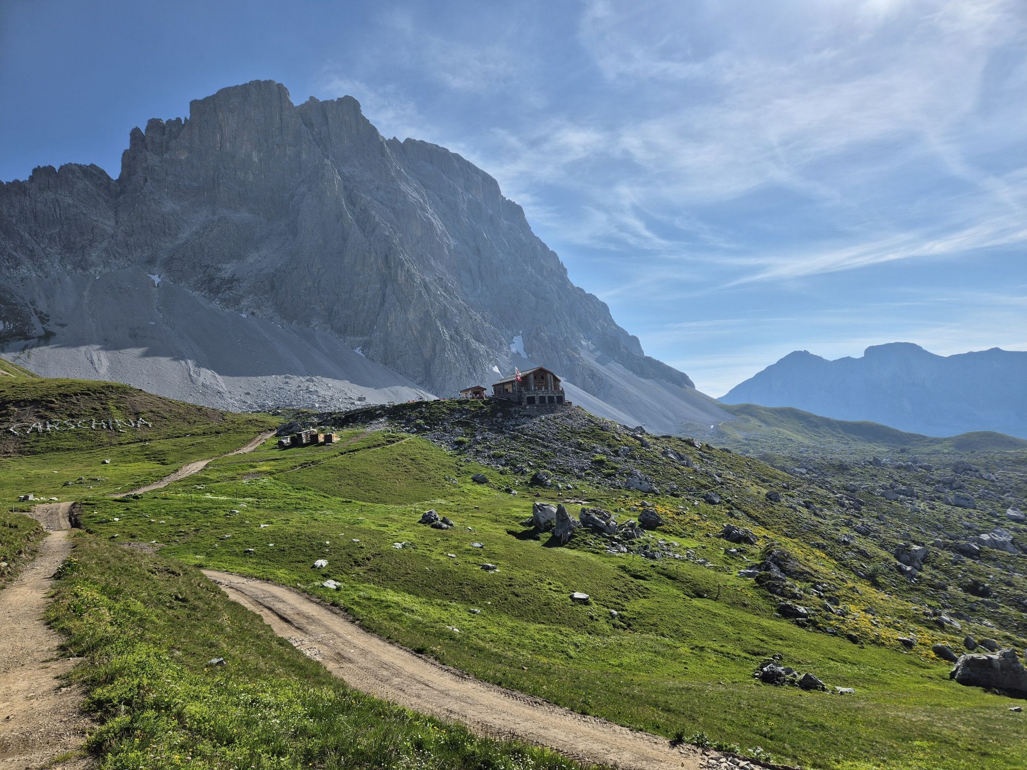
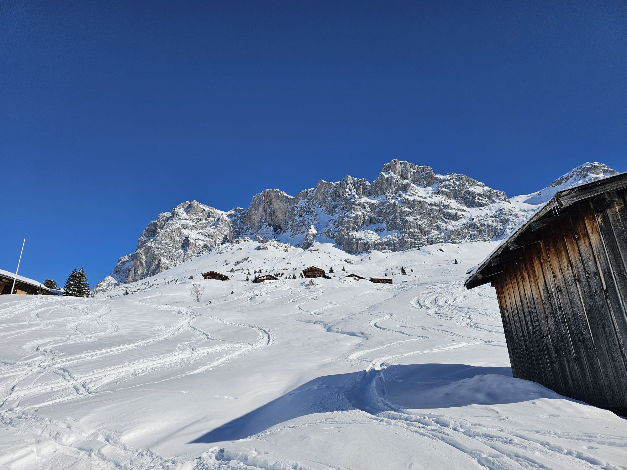
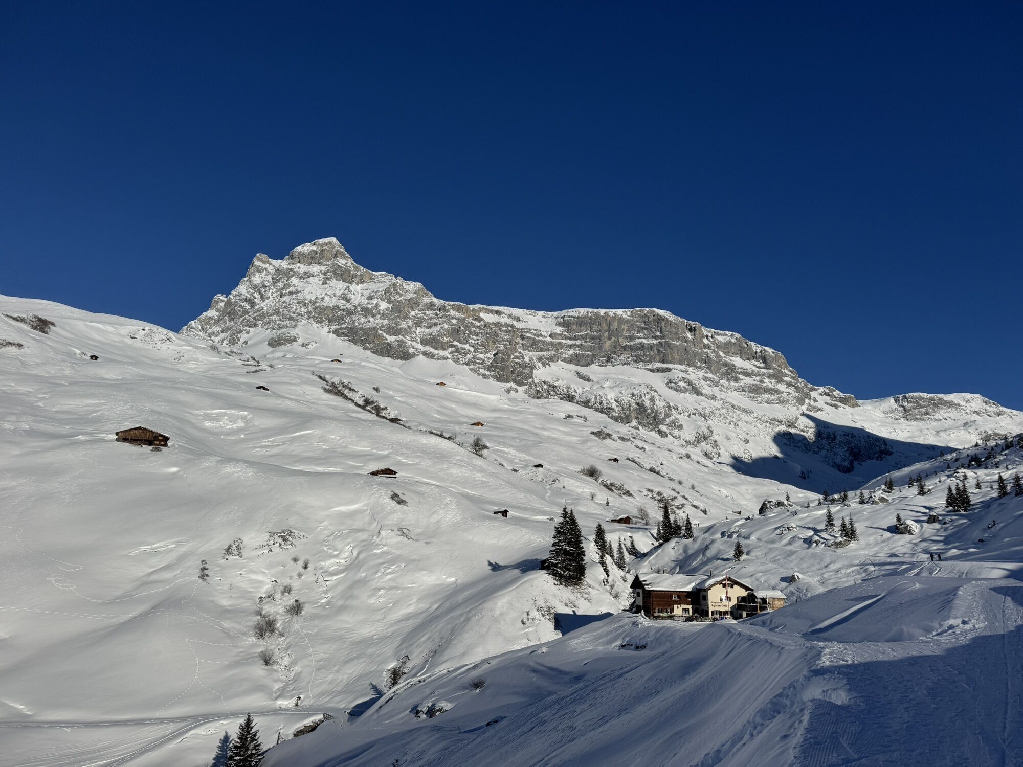
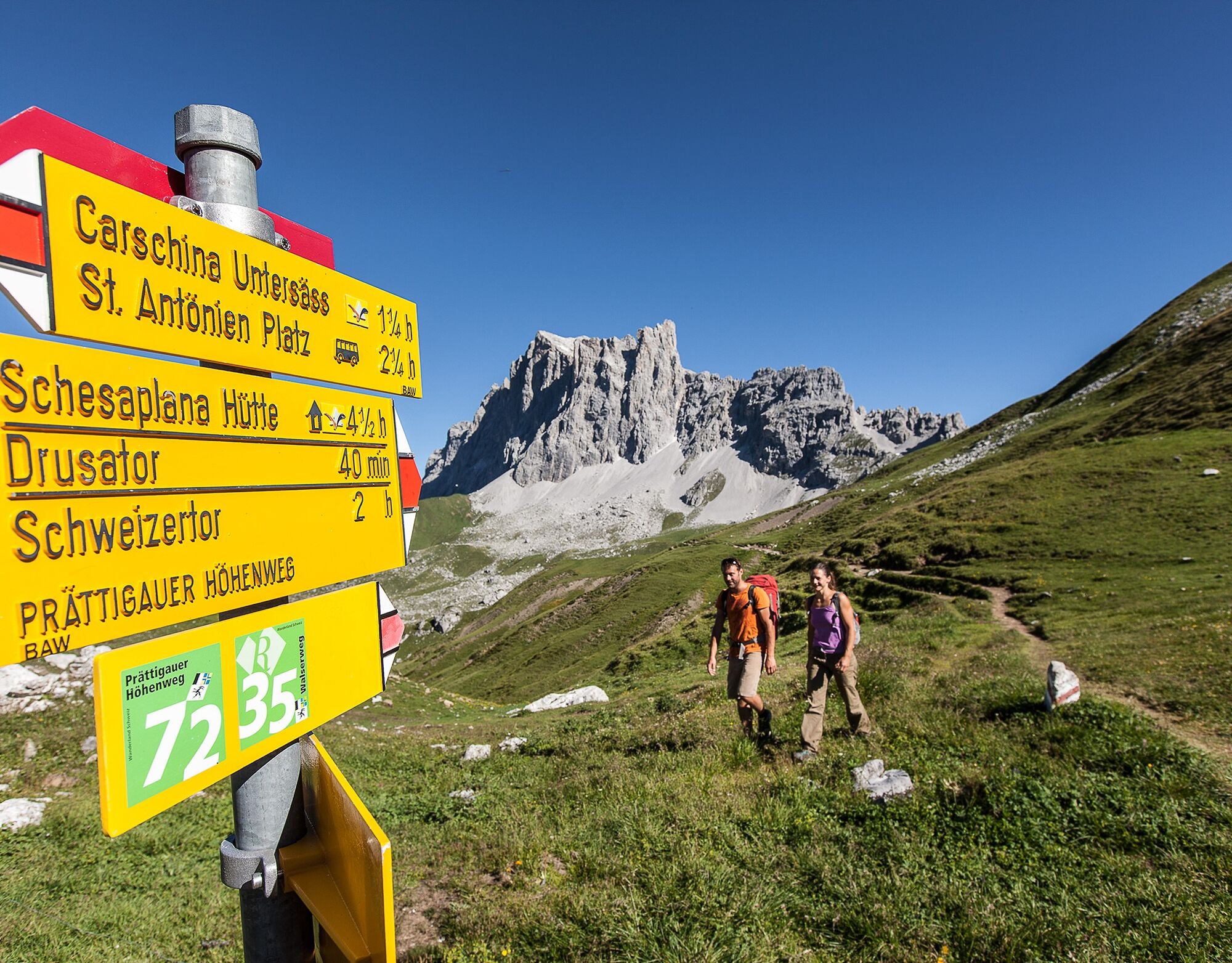
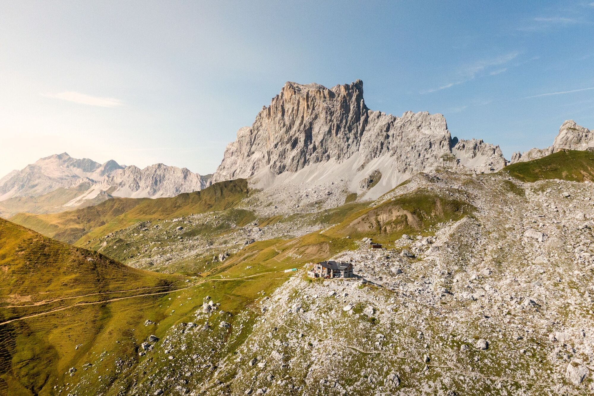
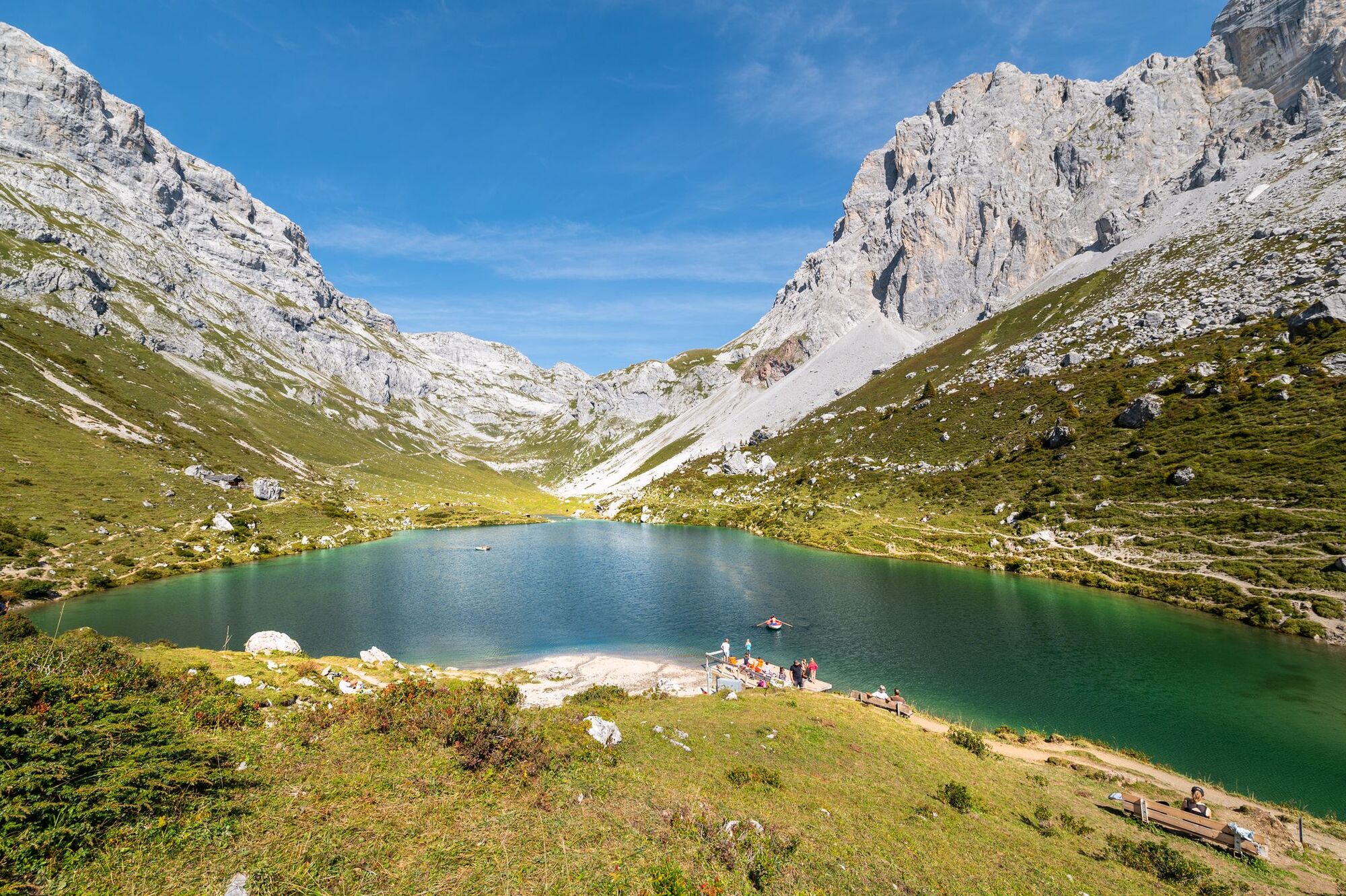
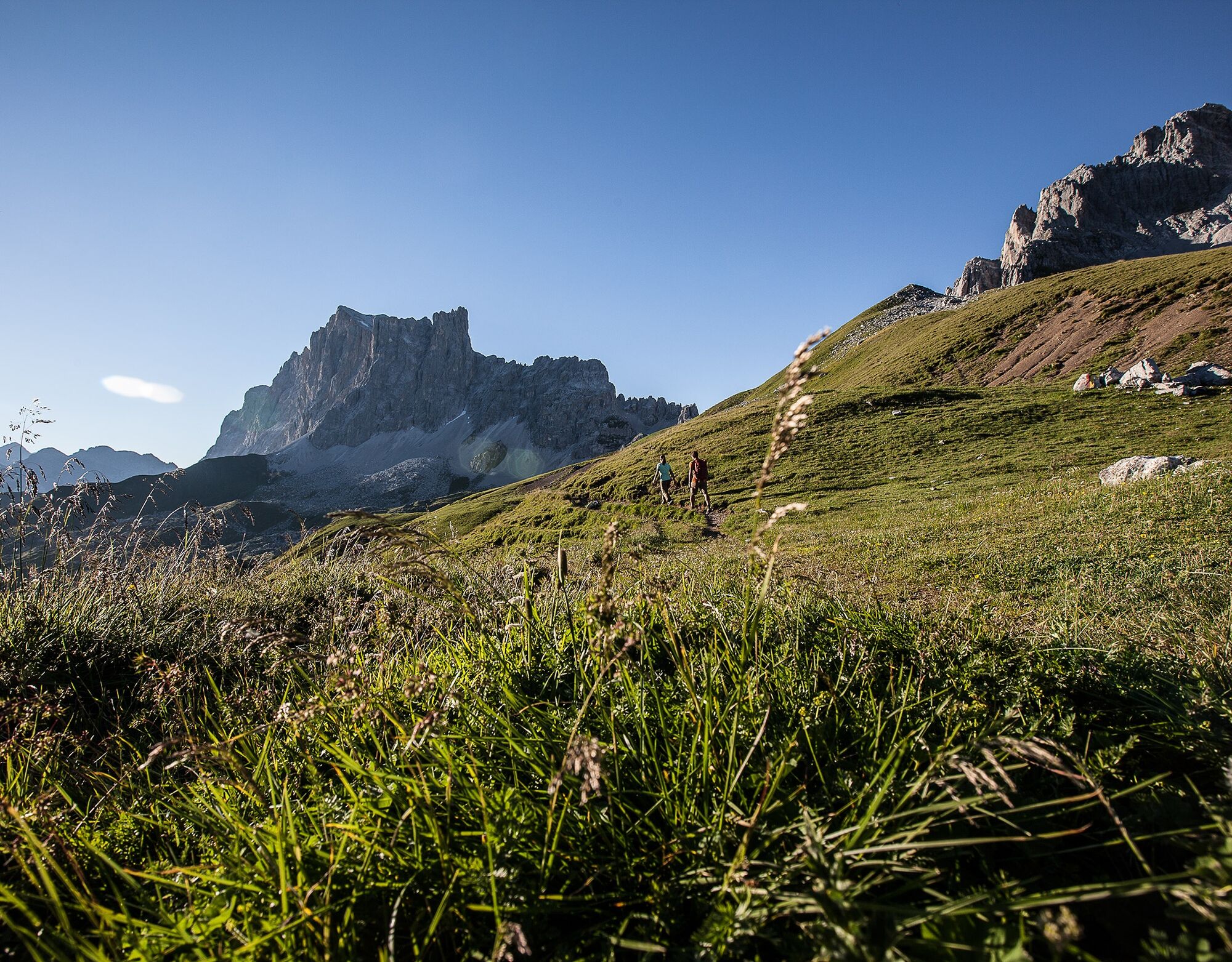
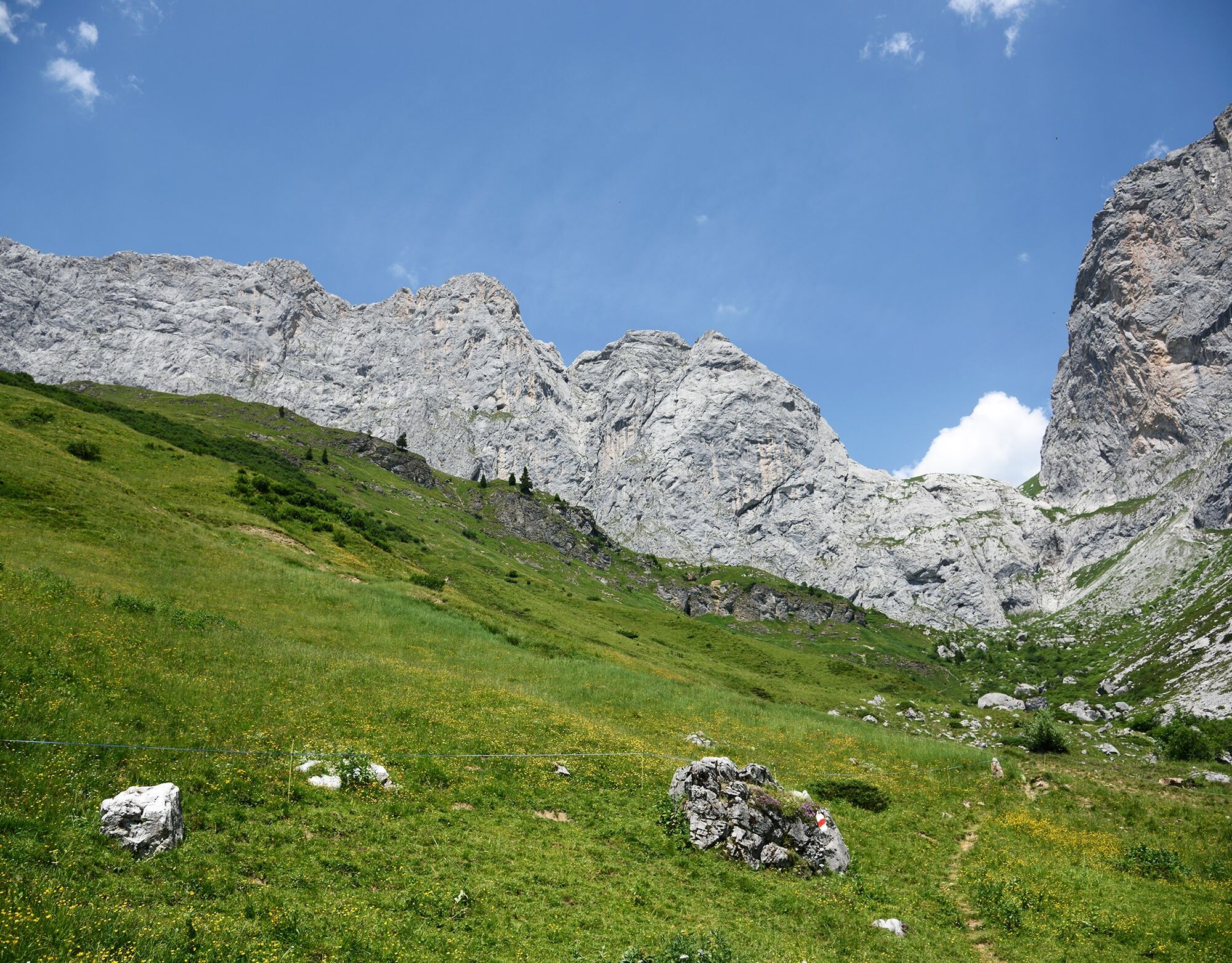
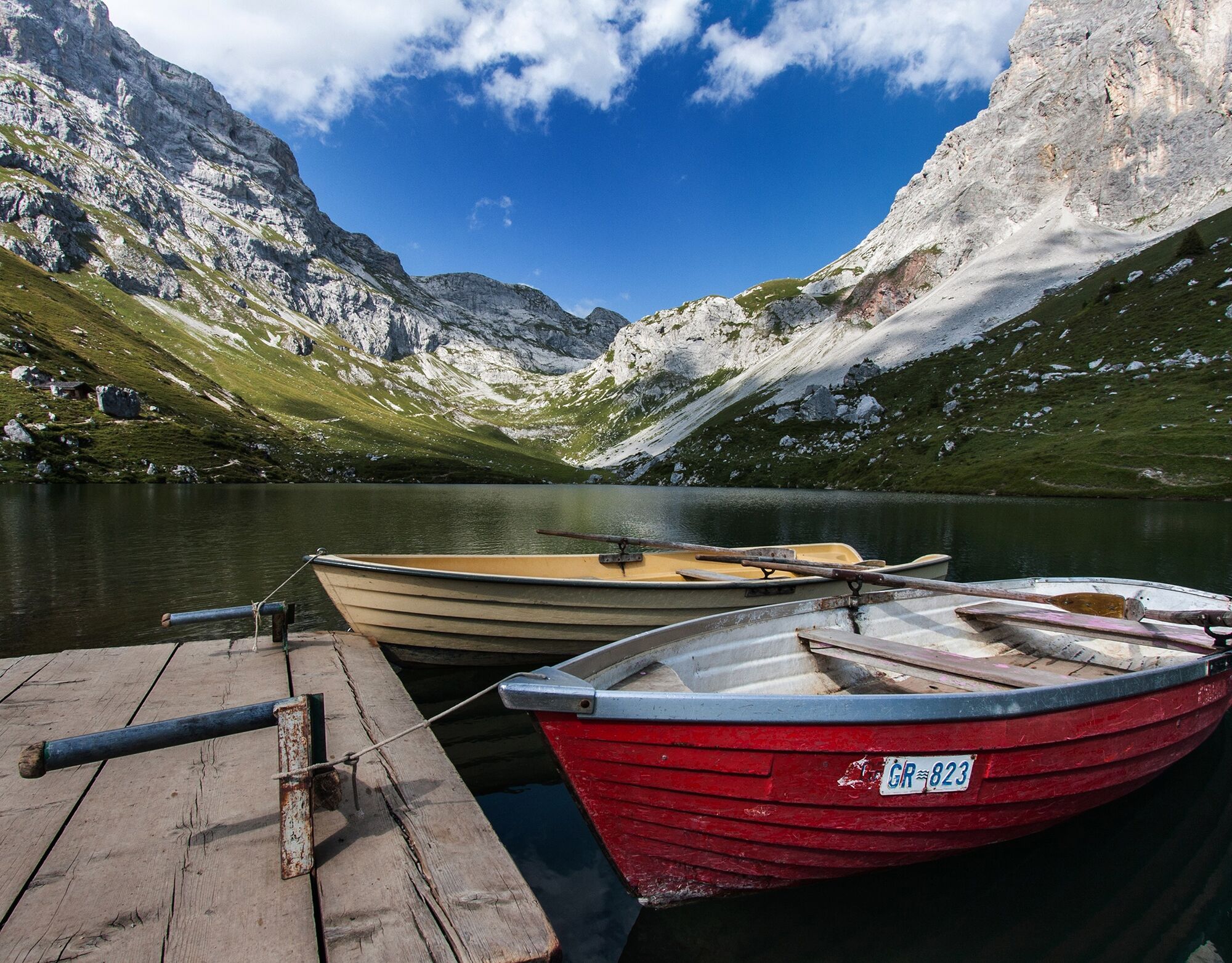
Cabaña Schesaplana SAC: Lugar para pernoctar en un entorno encantador. La cabaña se encuentra en los pastizales alpinos bajo la impresionante bastión de la cara sur de Schesaplana. Cavelljoch: En el Cavelljoch estás justo en la frontera austriaca y disfrutas de una hermosa vista al lago Lünersee. Cabaña Carschina: Hermosa cabaña alpina SAC al pie de la Sulzfluh. Vista impresionante hacia Drusenfluh. Lago Partnun: Lago de montaña cristalino. Botes de remos o un refrescante baño en el lago invitan a una pausa. St. Antönien: Pueblo walser y primer pueblo de montañismo de Suiza. Jägglisch Horn: Punto fotográfico con maravillosas vistas panorámicas. Desde aquí se puede ver una gran parte del camino de altura Prättigauer.El camino de altura Prättigauer es casi una presentación innecesaria para los excursionistas apasionados. Todos conocen la cabaña Schesaplana y la cabaña Carschina, tal vez ya hayan subido a la Schesaplana (el nombre significa «piedra plana») y notado que las rocas calizas de esta montaña no son planas, sino quebradizas, increíbles y —desde la perspectiva de la cabaña— vertiginosamente empinadas.
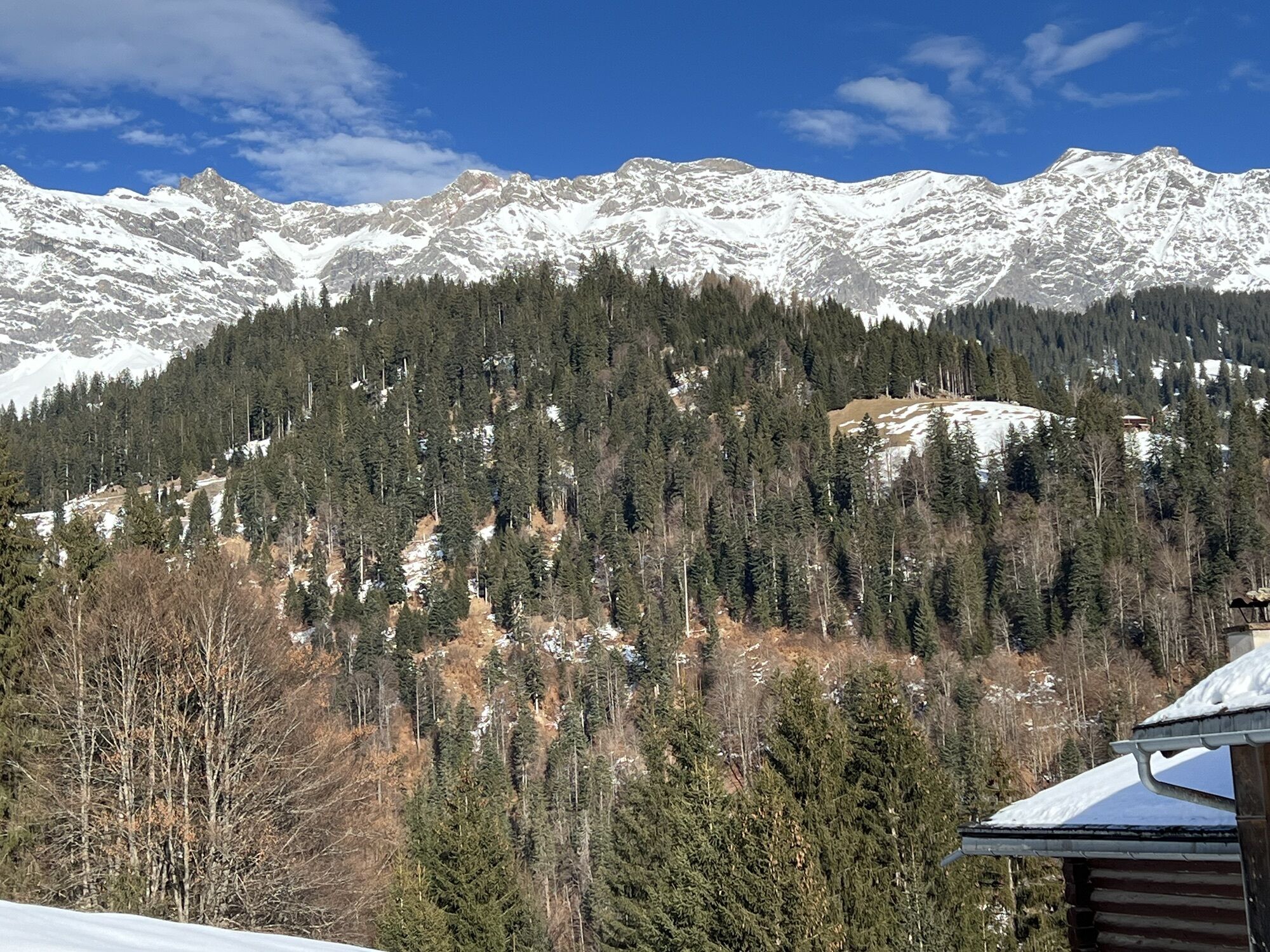
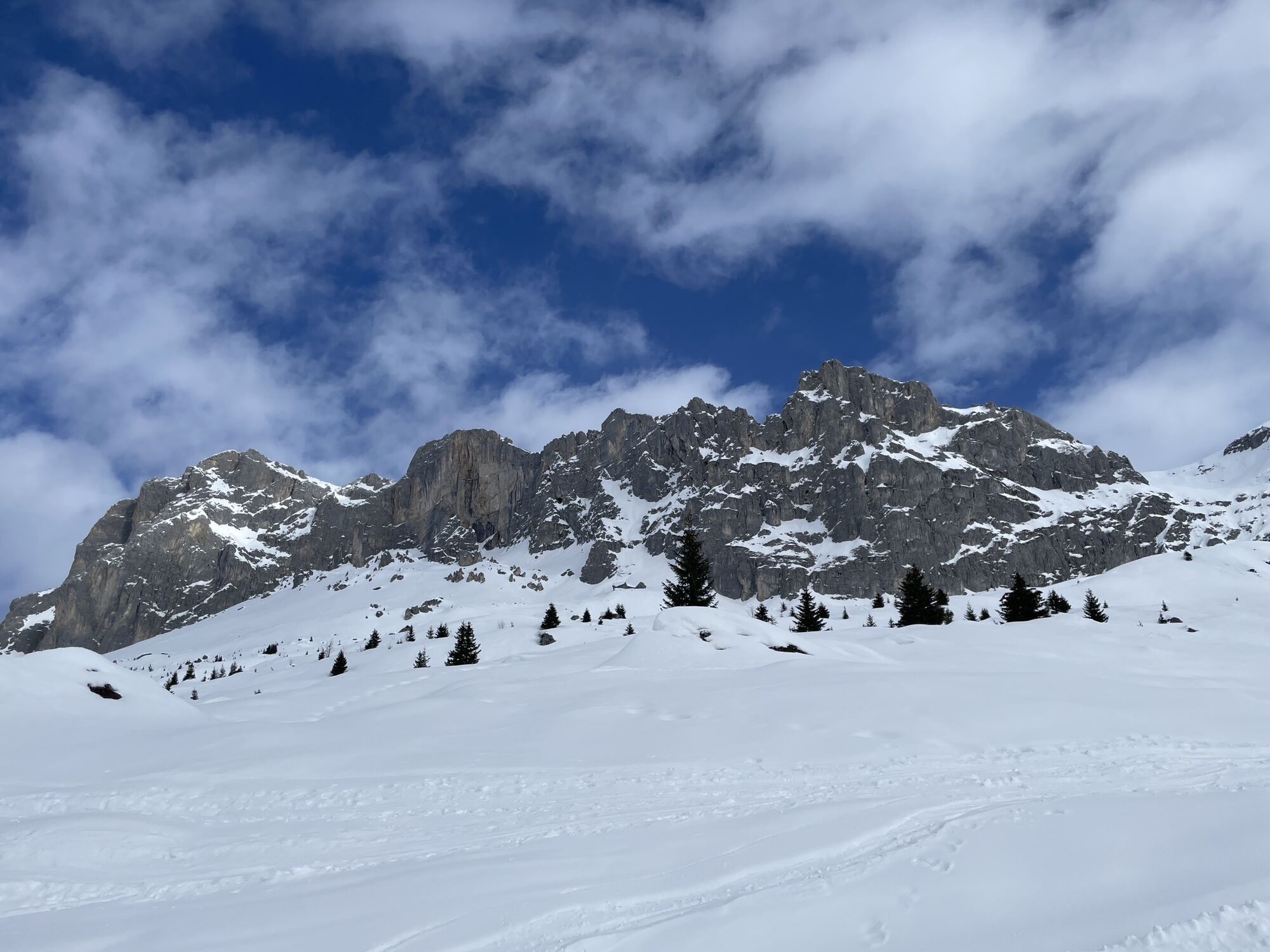
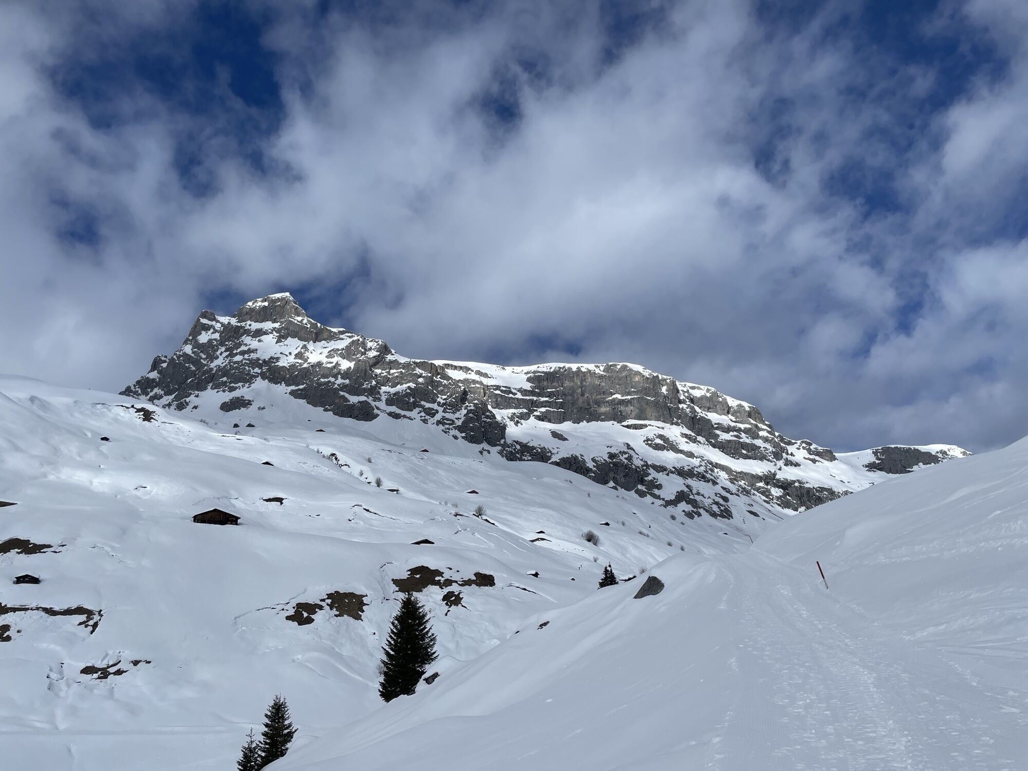
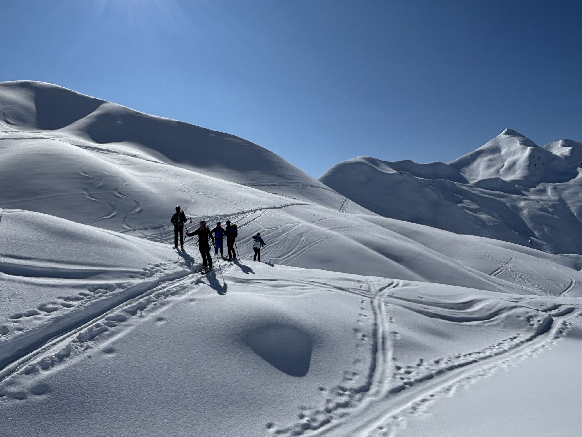
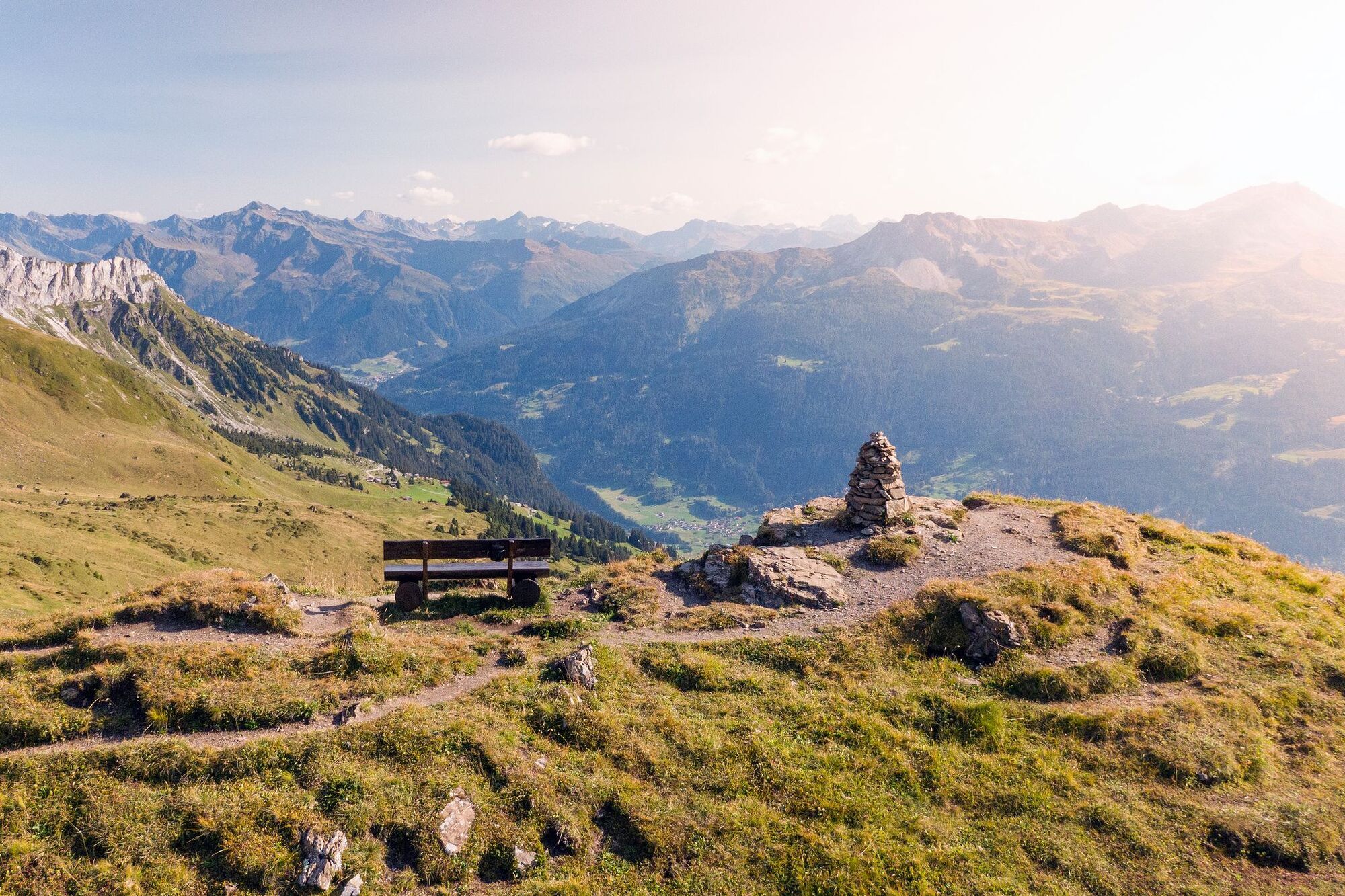
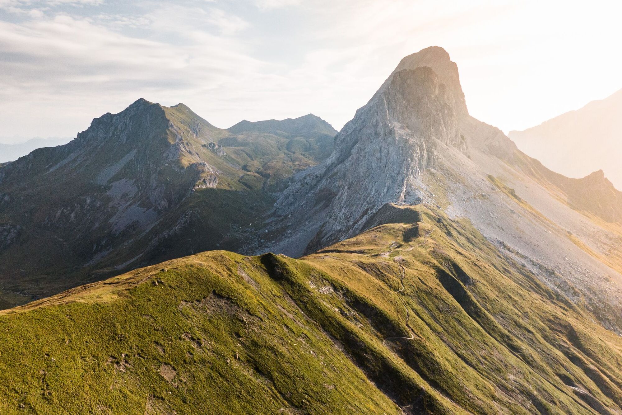
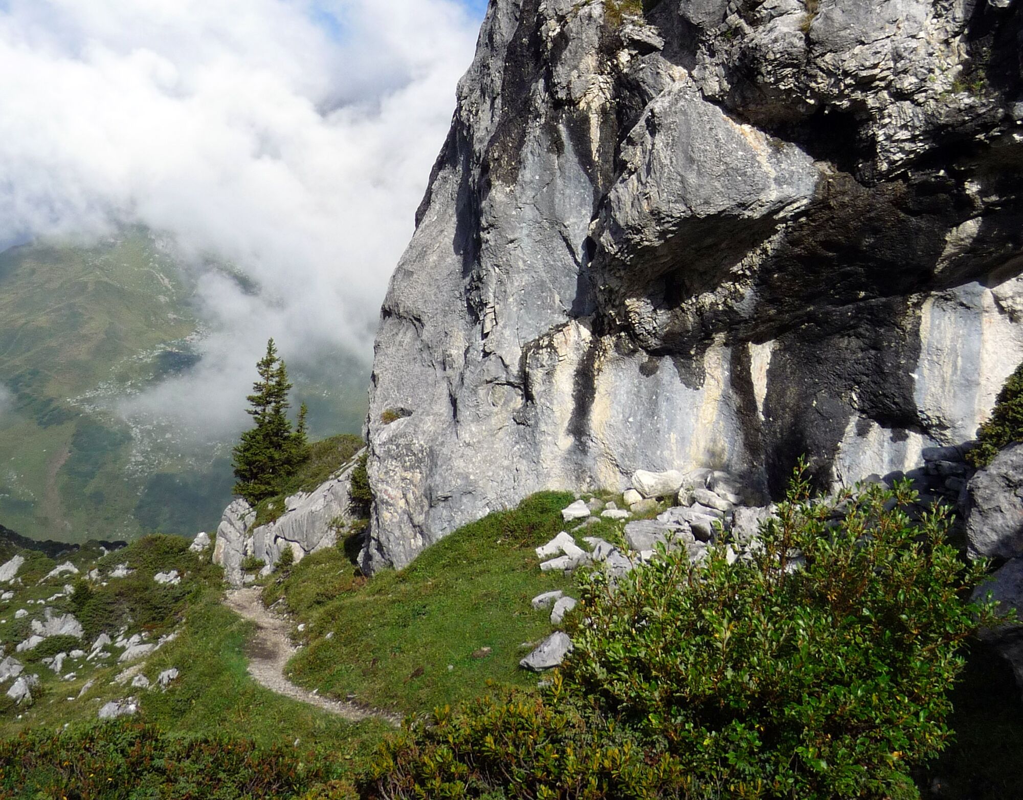
La ruta destacada sigue las curvas de nivel bajo los acantilados calcáreos de Schesaplana, Kirchlispitzen y Drusenfluh y permite desde una distancia segura observar a los escaladores que cuelgan como pájaros carpinteros en una de las numerosas rutas de escalada deportiva que cruzan los acantilados del Rätikon. Sólo en la última etapa se permite al excursionista alcanzar un monolito de piedra en la cumbre. Por eso la vista desde el Jägglischhorn entre St. Antönien y Klosters es aún más amplia y ofrece perspectivas de todo el grupo montañoso del Rätikon.
Etapas:
Etapa 1: Landquart–Cabaña Schesaplana Etapa 2: Cabaña Schesaplana–Cabaña Carschina Etapa 3: Cabaña Carschina–St. Antönien Etapa 4: St. Antönien–Klosters
Etapa 1: Desde el pintoresco Malans por un camino empinado y serpenteante hasta el Fadärastein con una vista profunda impresionante al valle del Rin de Chur. Luego tranquilamente hacia Seewis i.P. con vistas al Vorderprättigau. Por caminos de campo y bosque hasta la cabaña Schesaplana.
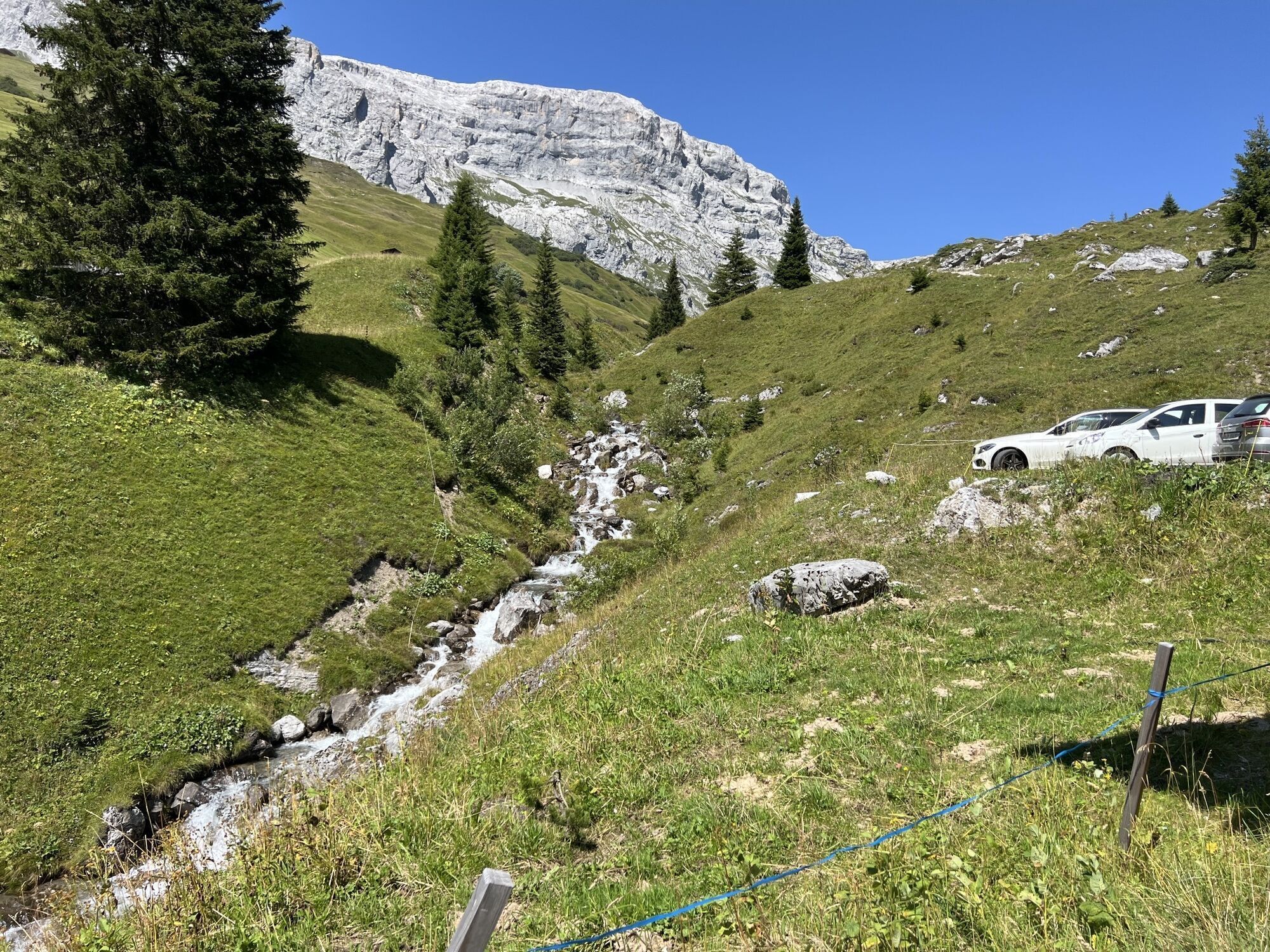
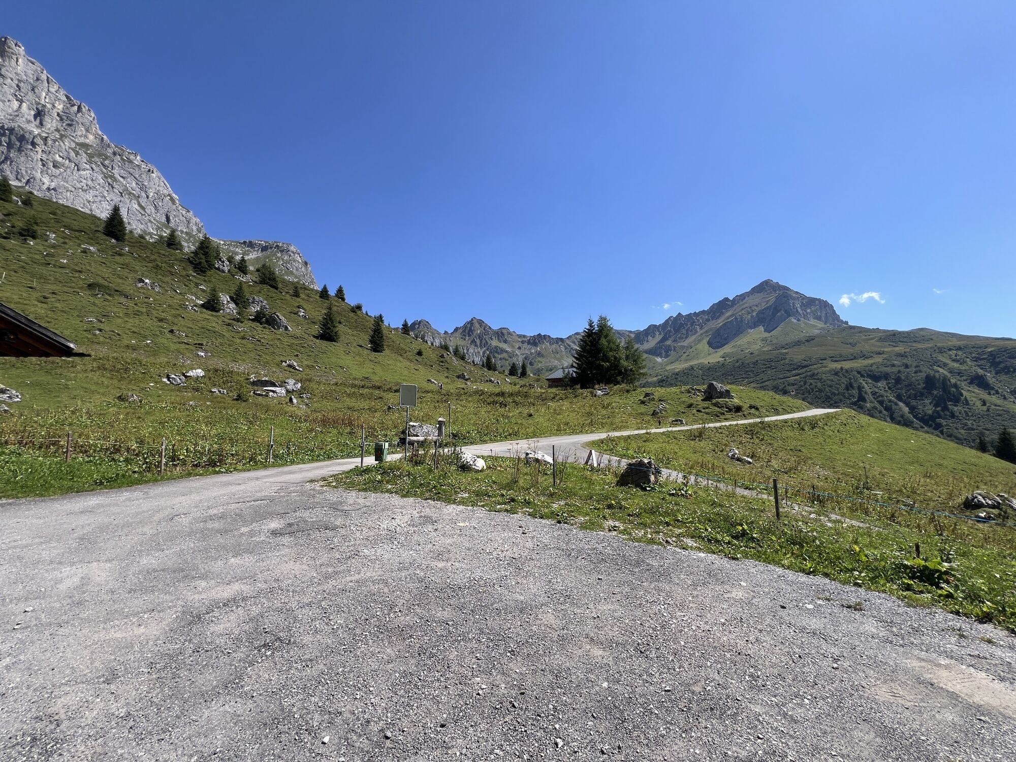
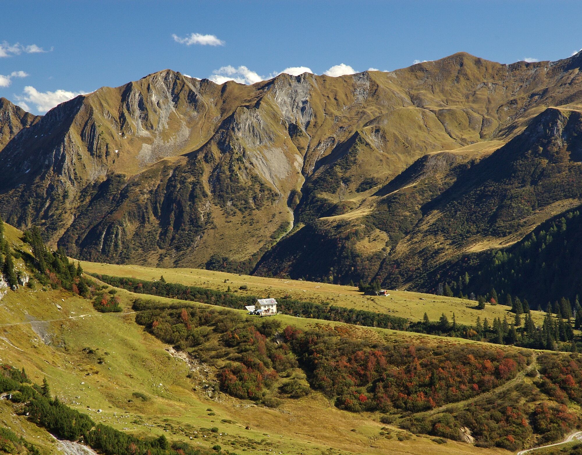
Etapa 2: Buen camino de altura bien desarrollado y frecuentemente transitado, con vistas cambiantes y profundas al Prättigau. En Drusator, vista al lado austriaco del Rätikon. Ubicación panorámica en la cabaña Carschina.
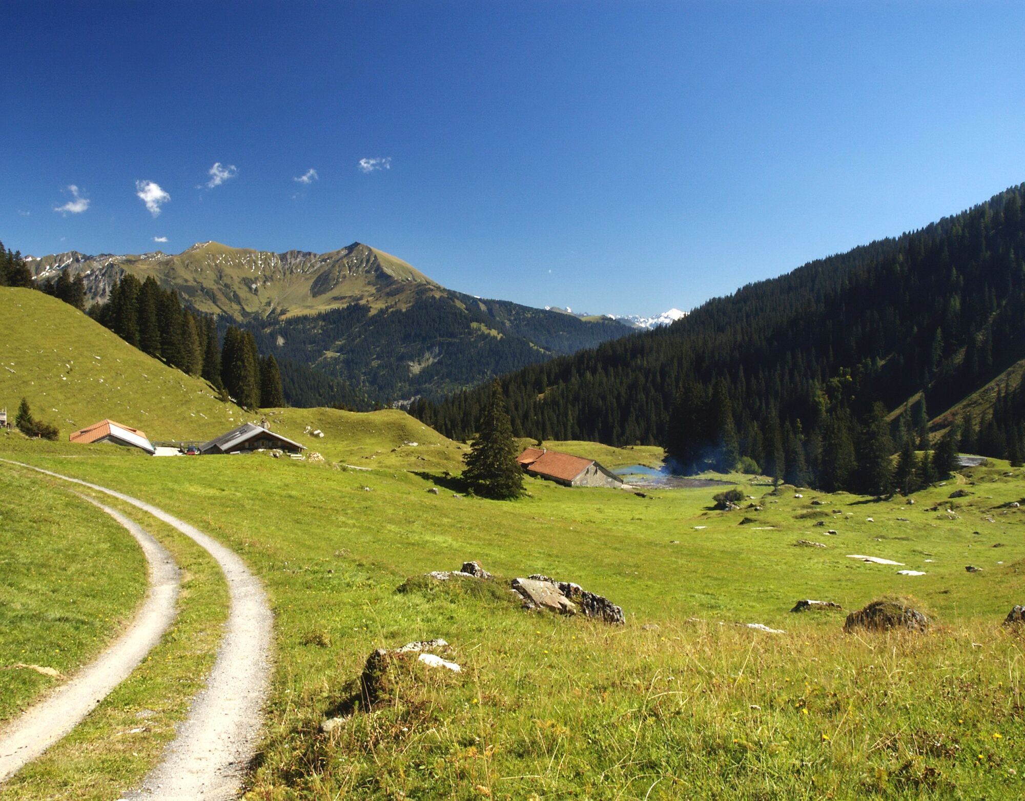
Etapa 3: Desde la cabaña Carschina bajada sencilla de dos horas y media a St. Antönien. Vista a las paredes de escalada del Rätikon. St. Antönien es un pueblo walser original y en invierno un destino popular para esquí de travesía.
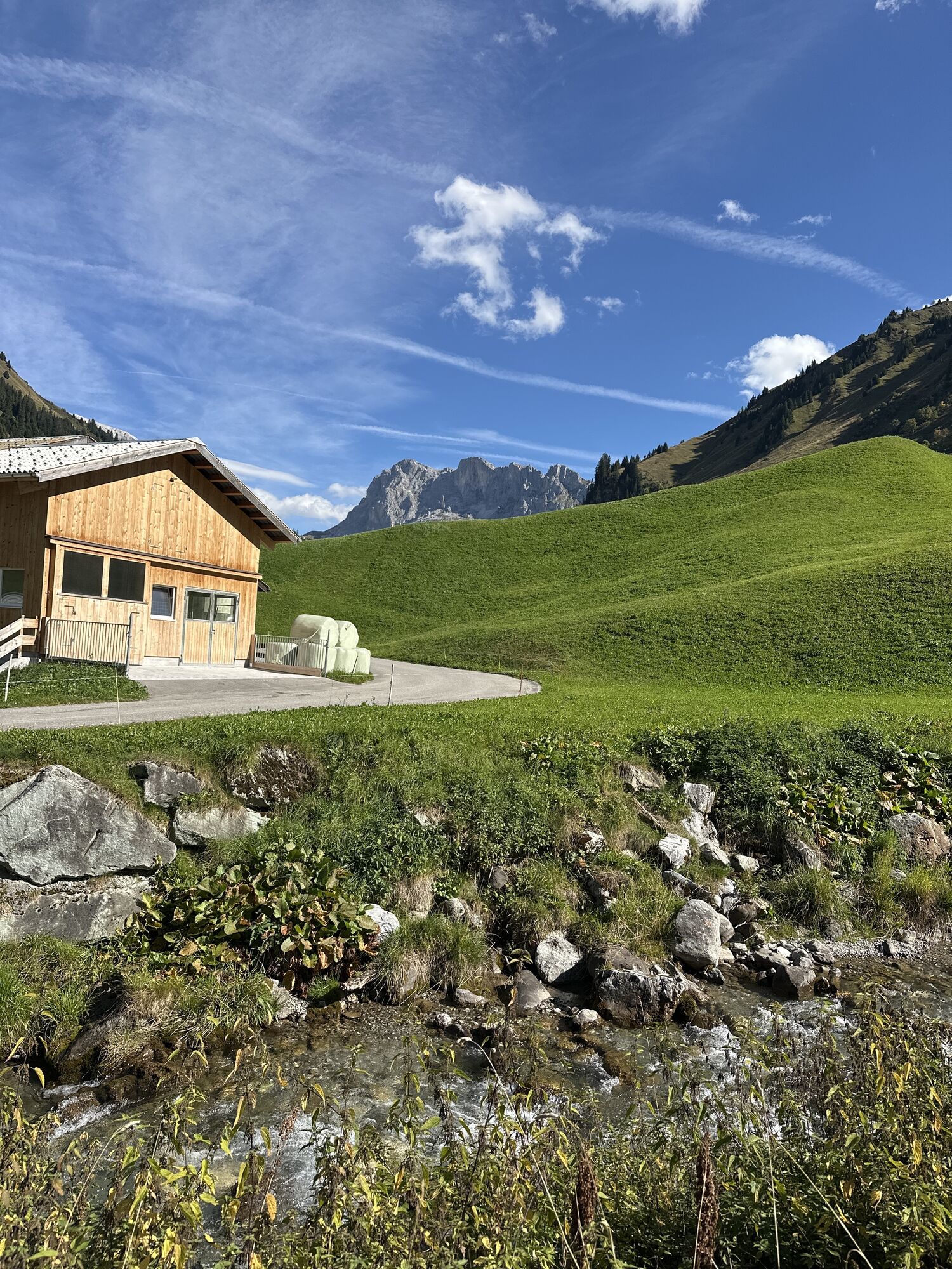
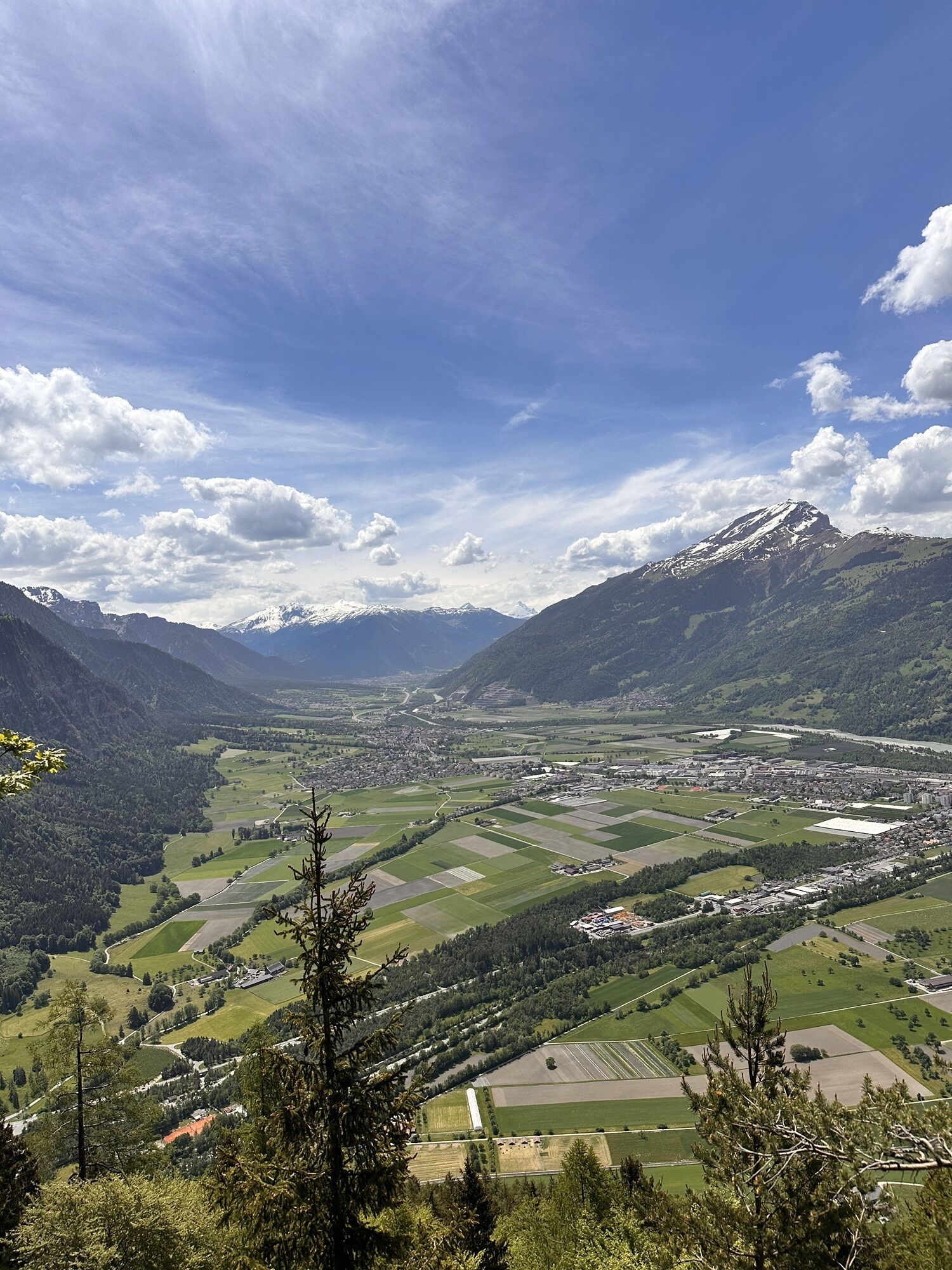
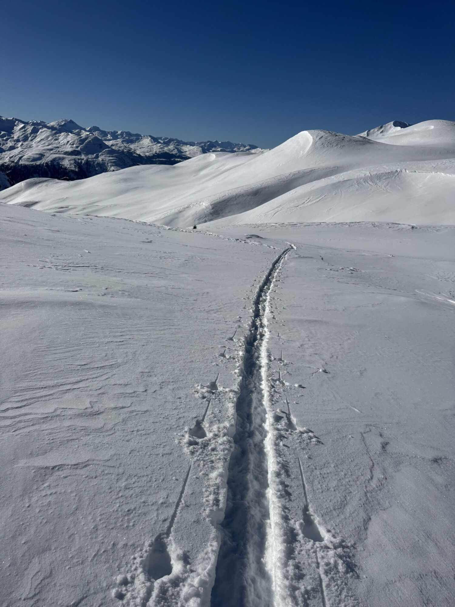
Etapa 4: Después de una larga subida por caminos alpinos y senderos de montaña hasta el Jägglischhorn, la vista se extiende por todo el Rätikon y por todo el camino de altura del Prättigau. Descenso suave por praderas, pasando por pintorescos establos hacia la estación superior del teleférico Madrisa.
Sí
Sí
Sí
Sí
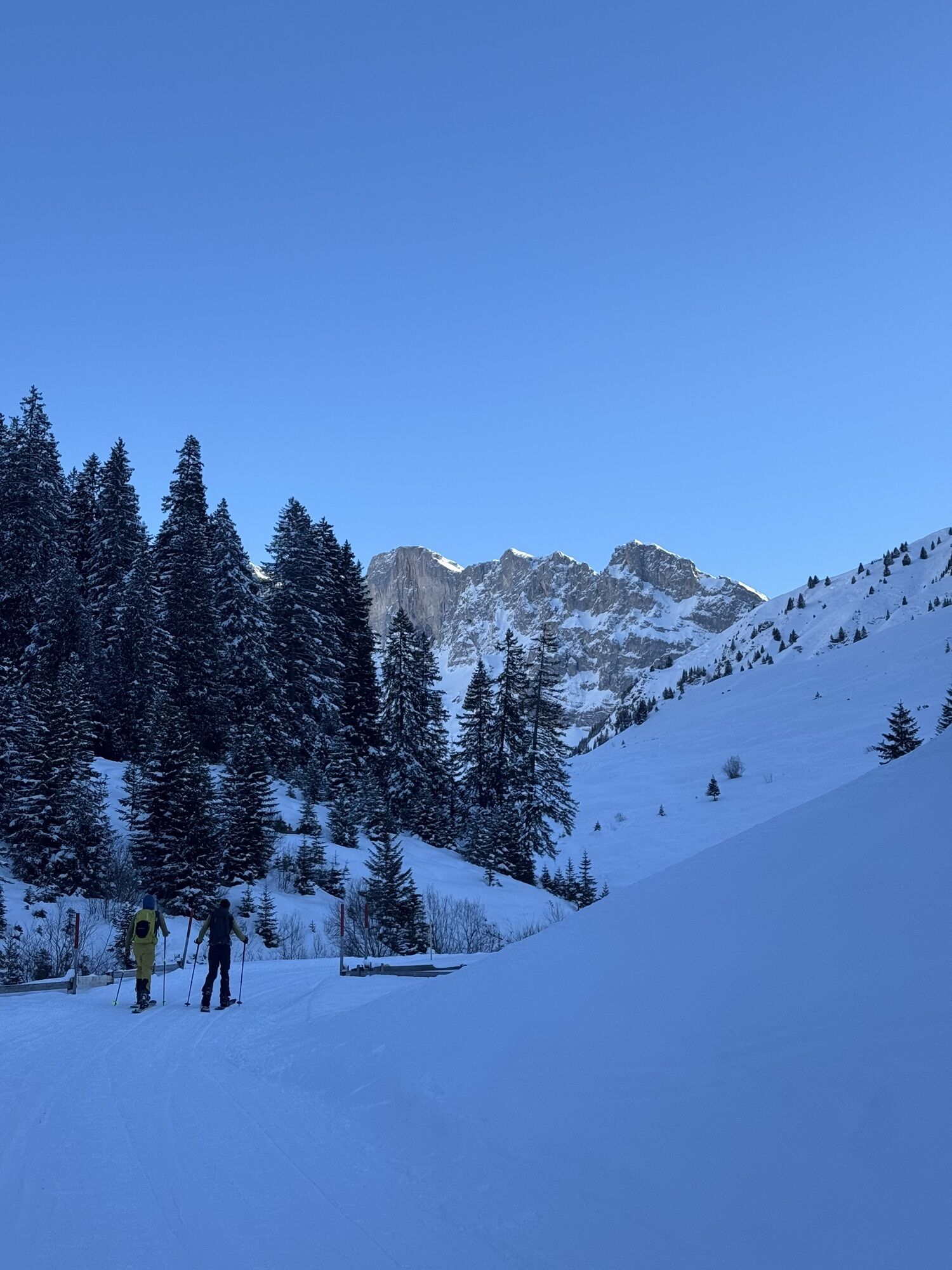
El camino está clasificado según la escala de excursionismo SAC como T2 (senderismo de montaña). Definición del camino / terreno: Camino con trazado continuo y pendientes equilibradas. Si está señalizado: blanco-rojo-blanco. Terreno parcialmente empinado, peligro de caída no excluido. Requisito: cierta seguridad al andar. Se recomiendan botas de trekking. Habilidades básicas de orientación.
Desde Zúrich / St. Margrethen, sal de la autopista A13/E43 en Landquart hacia Landquart, Davos, Vereina. Conduce por la N28 hasta Klosters Dorf.
Hasta Landquart con el Ferrocarril Federal Suizo (SBB).
Desde Landquart tienes conexión con el PostAuto, si deseas acortar un poco la primera etapa de la gran caminata o puedes empezar con el Älplibahn Malans (reserva necesaria).
En el camino de regreso puedes tomar desde Klosters Dorf o Klosters Platz el ferrocarril retico (RhB) hasta Landquart.
¿Planeas una caminata de varios días? Compra nuestro graubündenPass y disfruta de viaje libre por todo Graubünden. ¡Disponible aquí!
En Landquart hay dos grandes aparcamientos de pago junto a la salida de la autopista en el Fashion Outlet.
Aparcamiento Fashion Outlet Norte
Parking Fashion Outlet Norte
Aparcamiento Fashion Outlet Sur
Por favor, tenga en cuenta la nueva situación de aparcamientos durante la fase de ampliación del Fashion Outlet Landquart.
Park+Rail en Landquart
En la llegada hasta Klosters Dorf, tienes a tu disposición numerosos aparcamientos directamente en la estación de valle Madrisa. Te informamos que los aparcamientos señalizados alrededor de la estación (a la izquierda de la carretera) pueden utilizarse gratuitamente durante el día en verano. En Klosters Platz todos los aparcamientos son de pago.
T2
Punto de reserva:
Marketing Prättigau
Feldweg 19
CH-7233 Jenaz
Tel. +41 (0)81 325 11 11
info@praettigau.info
www.praettigau.info
¡Reserva el camino de altura del Prättigau en línea!
Además, las rutas pueden simplificarse utilizando el transporte público.
Webcams del recorrido
-
Pizzeria Barga
-
Sportzentrum Klosters
-
Pizzeria Barga
-
Bergstation Sassauna - Fanas
-
Kinderland - Grüsch Danusa
-
Sportzentrum Klosters
-
Sportzentrum Klosters
-
Sportzentrum Klosters
-
Sportzentrum Klosters
-
Sportzentrum Klosters
-
Sportzentrum Klosters
-
Gargellen - Haus Gadafent
-
Madrisa Bergstation / Kinderland
-
Madrisa Bergstation / Kinderland
-
Golm - Rätikonbahn
-
Schlappin
-
Madrisaland
-
Madrisaland
-
Madrisaland
-
Madrisaland
-
Madrisaland
-
Lünersee - Douglass Hütte
-
Pany - Freibad
-
Pany - Freibad
-
St. Antönien - Skilift
-
Skilift St. Antönien
-
Skilift Pany
-
Skilift Pany
-
Tilisunahütte
-
Tilisunahütte
-
Hueter Hütte
-
Hueter Hütte
-
Alphütte Maienfeld
-
Älplibahn Malans
-
Schlappin
-
Mittelstation Cavadura
-
Gargellen
-
St. Antönien - Bord / Aschüel
-
Gargellen Süd
Rutas populares en los alrededores
-
5,0
Ruta de esquí de travesía a la cabaña de Lindau (1.744 m)
luzEsquí de travesía 14,0 km -
4,7
Camino del contrabandista
medioSendero temático 8,60 km -
4,9
Douglasshütte, Lünersee, Gafalljoch Brand bei Bludenz, Vorarlberg
luzSenderismo 9,16 km -
4,4
Golm-Rundwanderweg im Rätikon
medioSendero temático 7,28 km -
4,3
Golmerbahn Bergstaion Grüneck - Golmer Höhenweg - Geißspitze - Lindauer Hütte - Latschau
medioSenderismo 11,5 km -
4,8
Douglashütte - Schesaplana
medioSenderismo 7,31 km -
3,0
Bergstation Grüneck Golmerbahn - Alpe Latschätz - Lindauer Hütte - Latschau
luzSenderismo 11,1 km -
3,3
Wanderbares Zalimtal
medioSenderismo 12,2 km -
4,6
An den Fuß der Zimba
medioSenderismo 5,43 km -
4,0
Camino Alto de Golm
medioSenderismo 13,8 km
Senderismo y rastreo


No se pierda las ofertas y la inspiración para sus próximas vacaciones
Su dirección de correo electrónico se ha añadido a la lista de correo.