




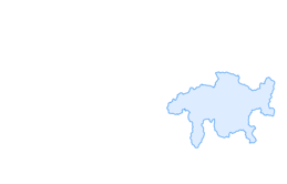

Parpan - Churer Joch - Tschiertschen
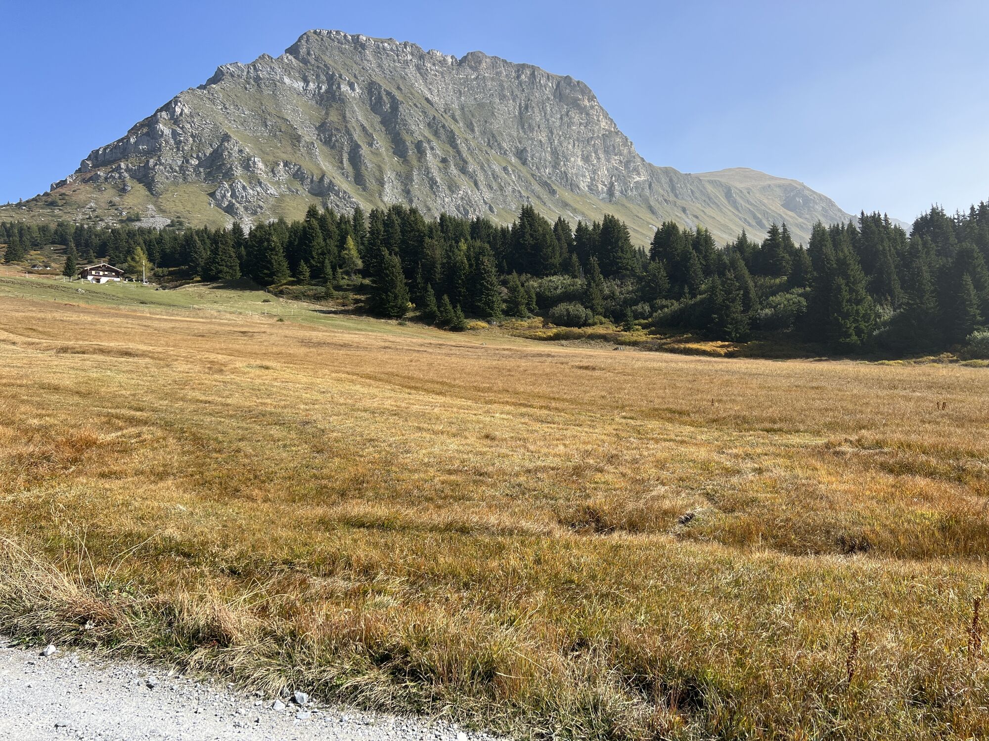
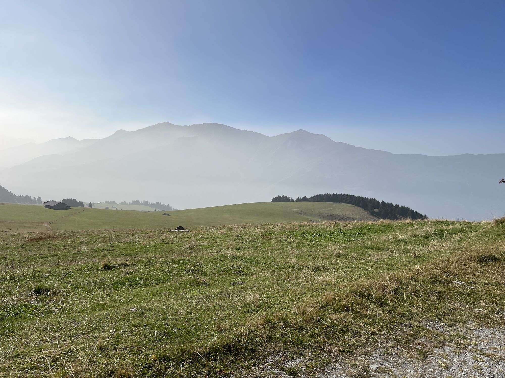
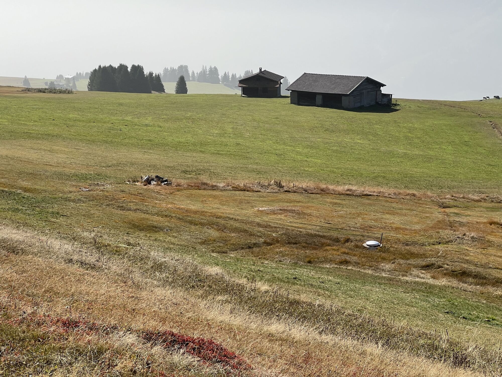
The Postbus takes you from Chur to the starting point at Parpan (bus stop Parpan Dorf). From there, walk along a com-fortable path northwards and pass by at Tschuggen, Oberberg, Capätsch and further up...
The Postbus takes you from Chur to the starting point at Parpan (bus stop Parpan Dorf). From there, walk along a com-fortable path northwards and pass by at Tschuggen, Oberberg, Capätsch and further up to the restaurant at Jochalp.
From the Churer Joch you enjoy wonderful panorama views to the Chur Rhine valley, the Schanfigg valley and the surroundings of Lenzerheide. The alpine flora is remarkably rich and colorful in this area. At the Jochalp restaurant you can treat yourself before you continue.
The descent takes you to the handsome mountain village of Tschiertschen. From there, you can take the Postbus, that takes you back to Chur in a short driving time.

Webcams del recorrido
-
Arosa - Hörnli
-
Lenzerheide - Urdenfürggli
-
Lenzerheide - Parpaner Rothorn
-
Lenzerheide - Alp Stätz
-
Lenzerheide - Talstation Rothorn
-
Alpenstadt Chur
-
Tschiertschen Talstation
-
Brambrüesch / Sesselbahn Hühnerköpfe
-
Tschiertschen Talbereich
-
Arosa - Weisshorn
-
Lenzerheide Dorf
-
Lenzerheide - Heimberg
-
Lenzerheide - Heidbüel
-
Wassersportzentrum Heidsee
-
Wassersportzentrum Heidsee
Infórmate
Siempre en directo con más de 9.500 webcams. bergfex Como usuario Pro, ahora puede ver las webcams correspondientes a muchos tours en la app de tours desde. Esto le permite ver las condiciones actuales directamente.
Actividades a lo largo del recorrido

Rutas populares en los alrededores
-
4,6
749 Sendero del puente colgante de Val Meltger
medioSenderismo 8,30 km -
Arosa-Schwellisee-Älplisee-Parpaner Rothorn
Senderismo 12,3 km -
4,7
Arosa-Hörnli-Parpaner Rothorn-Lenzerheide
Senderismo 11,9 km -
5,0
Arosa-Hörnli-Urdenfürrgli-Alp Scharmoin-Lenzerheide
medioSenderismo 15,3 km -
5,0
Eichhörnliweg Arosa
luzSendero temático 1,72 km -
Alp Sanaspans - Rothorn
pesadoSenderismo 13,6 km -
Haldensteiner Calanda
pesadoSenderismo 16,9 km -
5,0
767 Lago Altein Schiesshorn
medioSenderismo 11,9 km -
5,0
Arosa-Erzhornsattel-Arosa
Senderismo 14,9 km -
Ruta Familiar 745 Lenzerheide
luzSenderismo 9,36 km

Senderismo y rastreo


No se pierda las ofertas y la inspiración para sus próximas vacaciones
Su dirección de correo electrónico se ha añadido a la lista de correo.





