






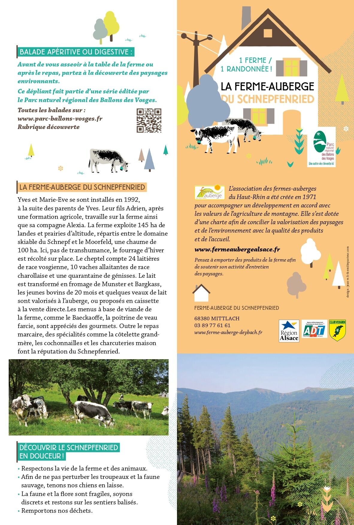
Walk Ferme-Auberge Schnepfenried "Facing the great ridge"
Produced by the Ballons des Vosges Regional Nature Park www.parc-ballons-vosges.fr and the Haut-Rhin farmhouse inn association www.fermeaubergealsace.fr
Produced by the Ballons des Vosges Regional Nature Park www.parc-ballons-vosges.fr and the Haut-Rhin farmhouse inn association www.fermeaubergealsace.fr
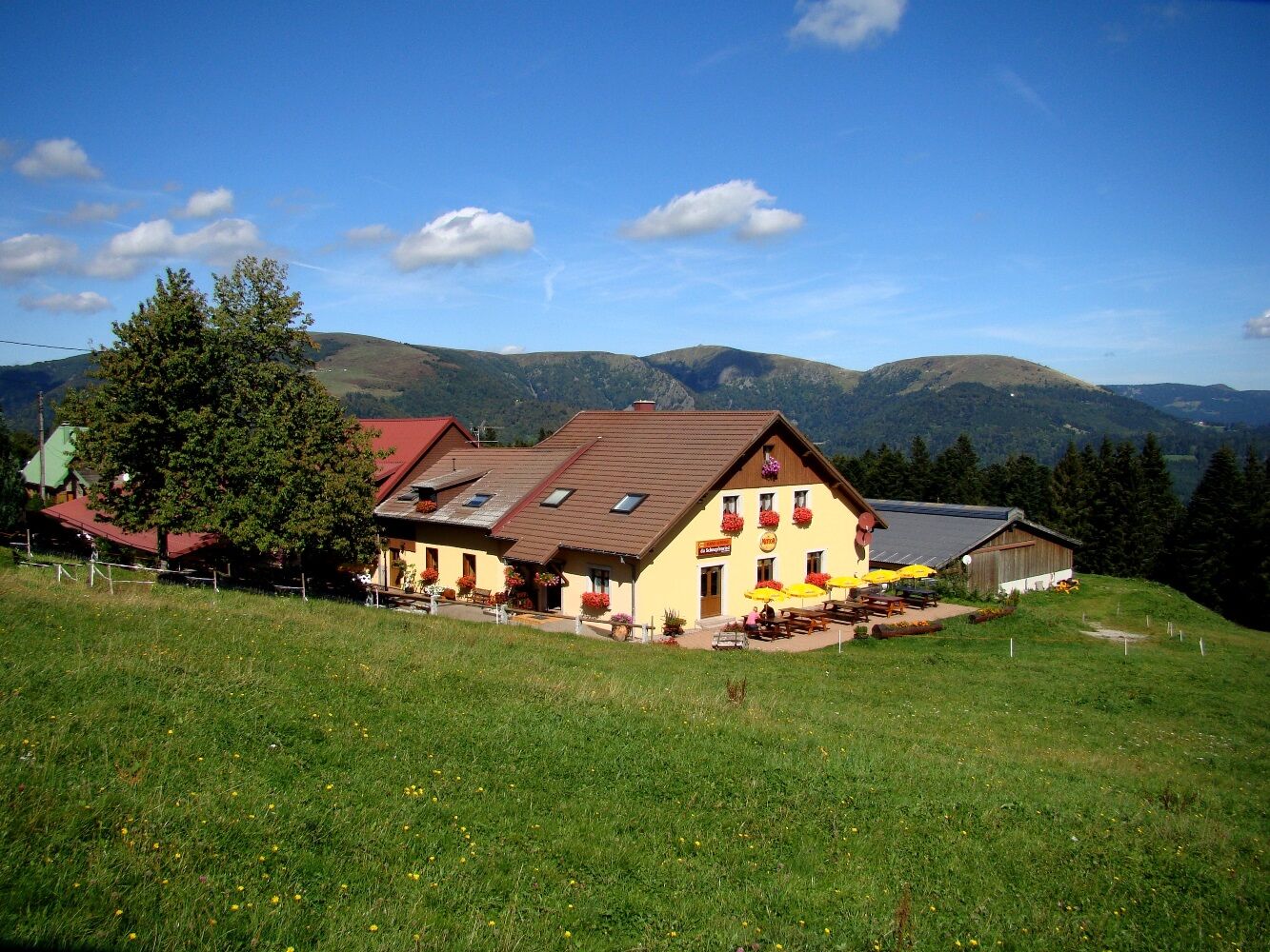
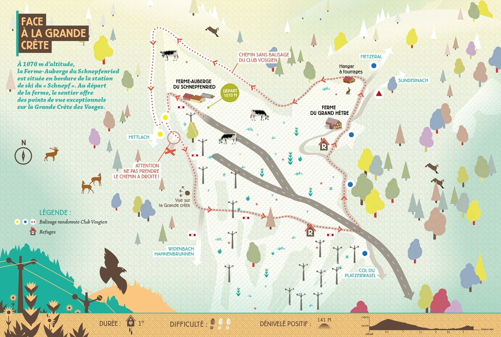
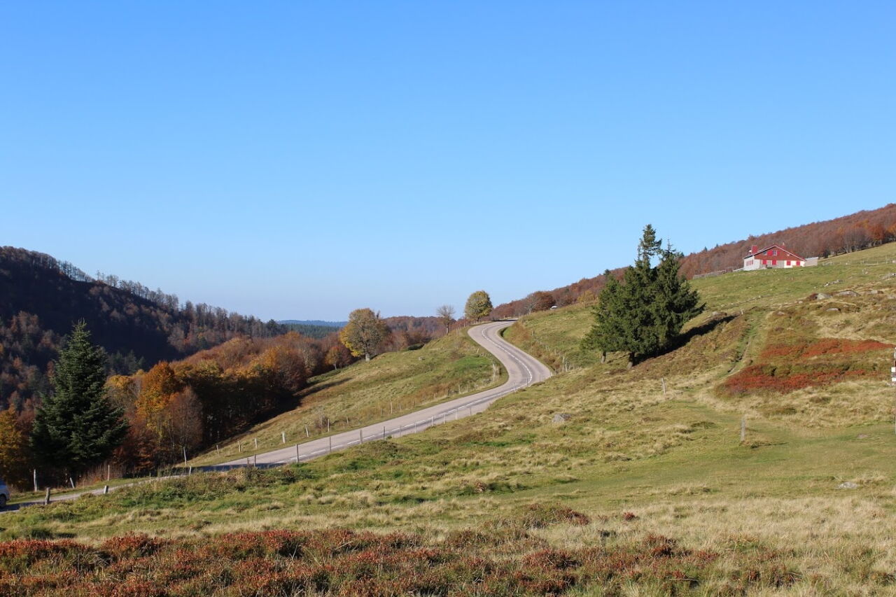
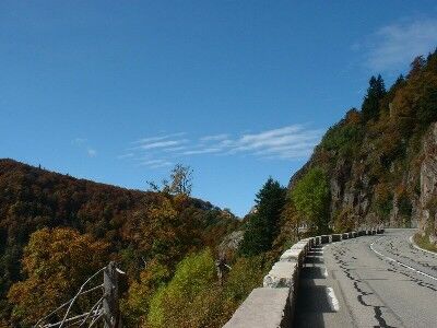
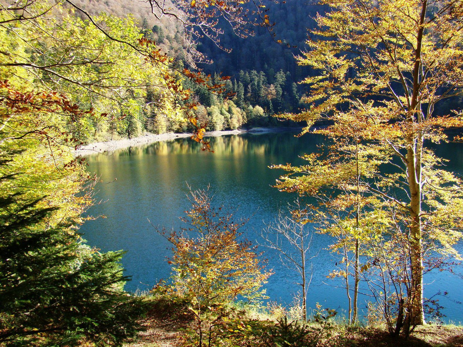
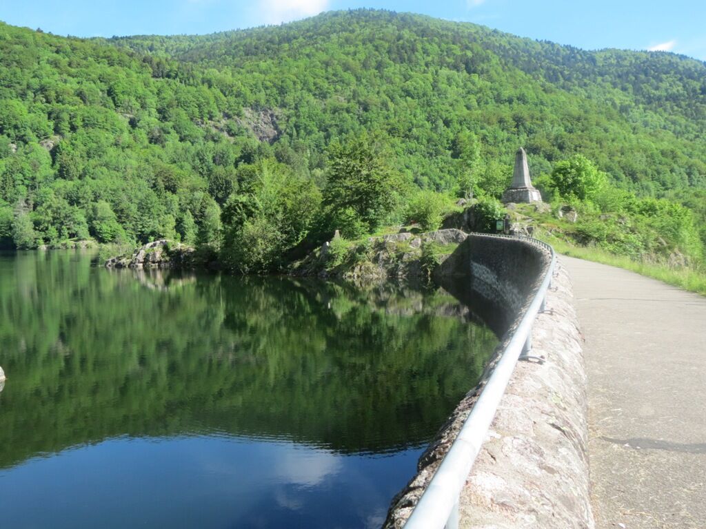
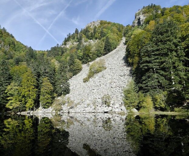
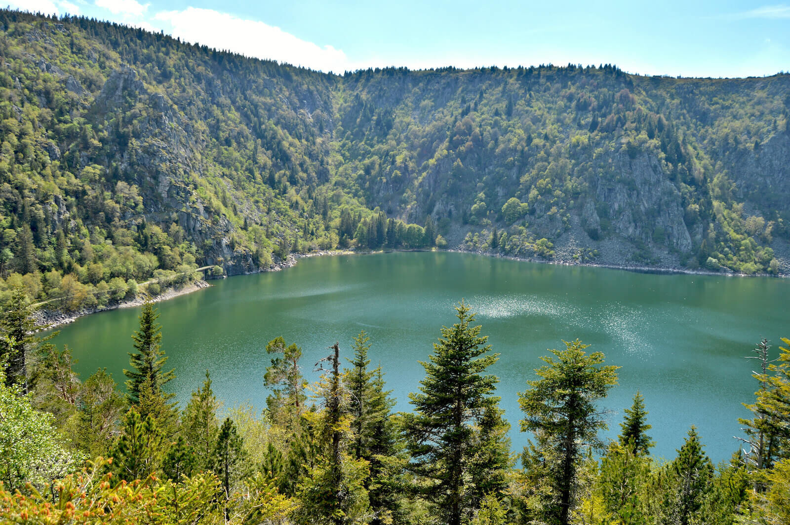
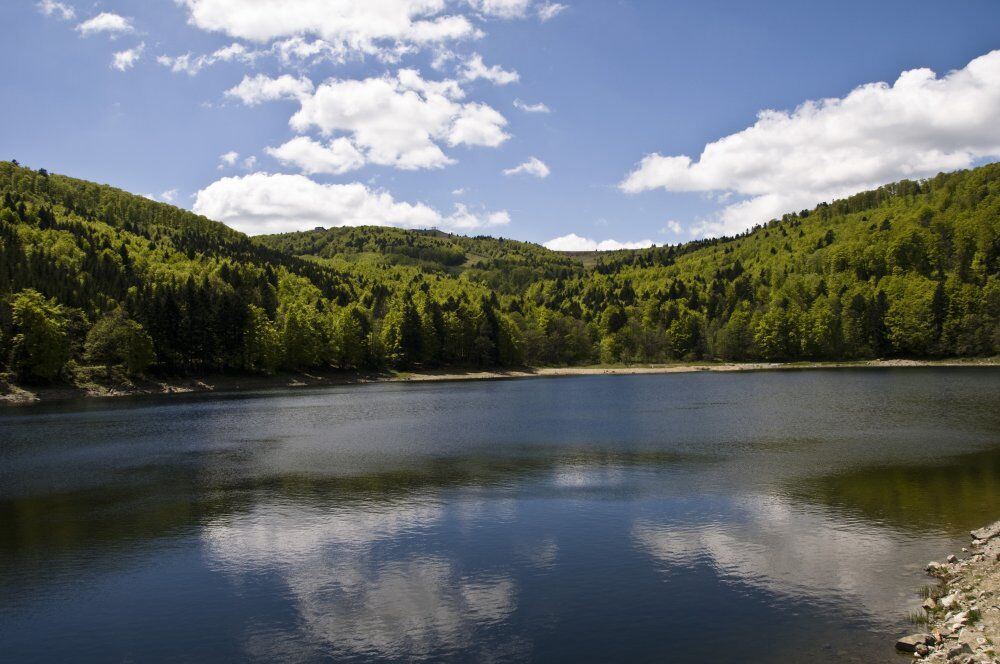
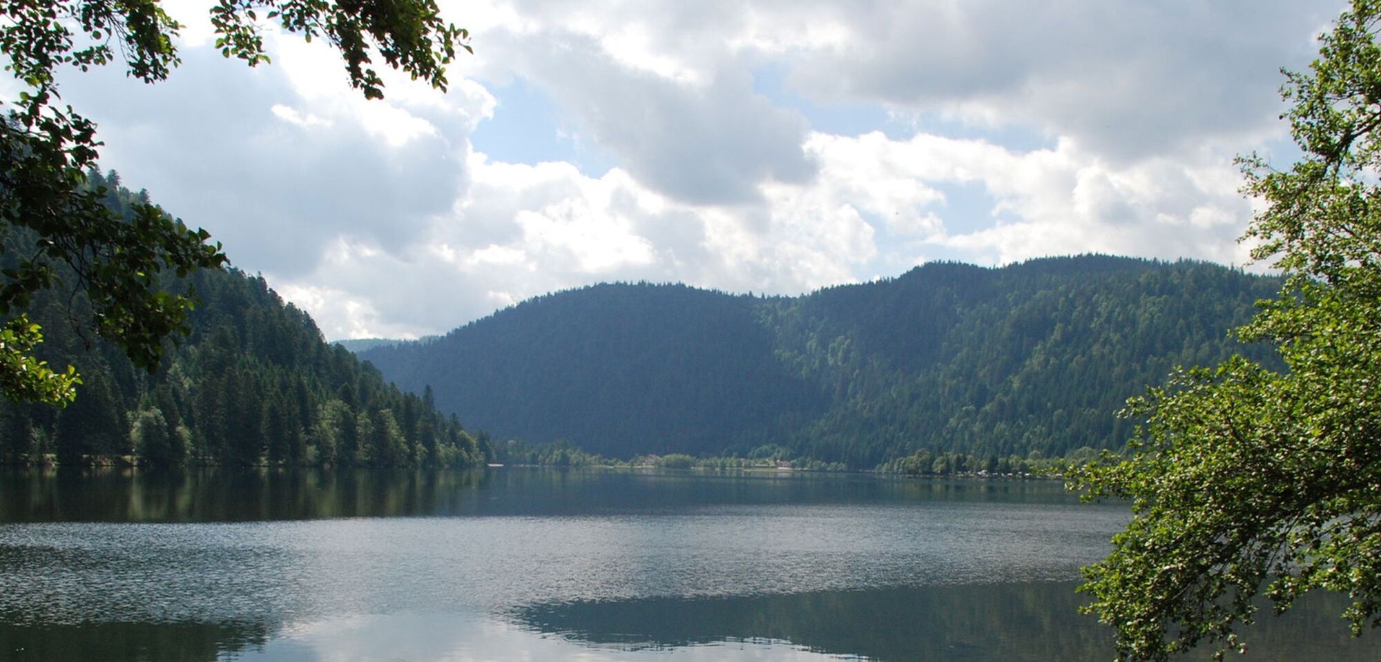
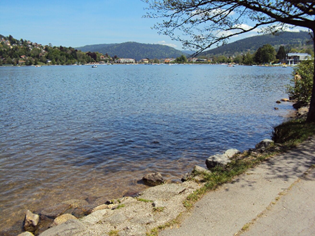

From the farmhouse, climb the slope below the lifts, avoiding the path on the right, then follow the red signpost (the X). After the road, continue downhill, this time following the blue disc. Turn left at the intersection with the red triangle and return to the farm, following the yellow disc.
Sí
Clothing adapted to the season and conditions (cold, hot, wet...)
Hiking shoes suited to the terrain (even for children!)
Hiking poles (useful for stability and to relieve joint strain)
Cell phone and spare battery
Before setting off :
Find out about general and local weather conditions, making sure there's no precipitation.
Find out about the approach route, its height, the time it will take to reach the summit, and any possible escapes (IGN map, GPS, topo-guide, etc.).
Evaluate possible risks by asking mountain professionals, mountain huts and gîtes for information.
Inform someone close to you of your objective, and contact them again if there are any changes: departure and return times, number of participants with telephone numbers for each, vehicle(s), parking, etc.
Avoid setting off alone, and use equipment that is suitable for the activity, adjusted and in good condition: headlamp, complete first-aid kit, survival blanket, etc.
In the event of a problem, call 112 (European emergency number).
From the Munster valley, climb up to the Schnepfenried station from Metzeral, or join it from the Route des Crêtes, shortly after Le Markstein.
Mittlach 68380
Free parking at the farmhouse
Schnepfenried farmhouse inn
68380 Mittlach
03 89 77 61 61
Aperitif or digestive stroll: before sitting down at the farm table, or after your meal, discover the surrounding countryside. Don't forget to take some of the farm's products with you, to support its landscape maintenance activities.
Infórmate
Siempre en directo con más de 9.500 webcams. bergfex Como usuario Pro, ahora puede ver las webcams correspondientes a muchos tours en la app de tours desde. Esto le permite ver las condiciones actuales directamente.
Rutas populares en los alrededores
-
4,5
Circuito de senderismo - el recorrido de los 3 lagos
medioSenderismo 12,7 km -
5,0
Le tétras bistrot - Hohneck - Chapelle Notre-Dame-des-Chaumes - Brasserie de la Schlucht
pesadoSenderismo 10,7 km -
5,0
Vogesen Col de la Schlucht
pesadoSenderismo 19,3 km -
Tour du Grand Ballon en 3 días
pesadoSendero de largo recorrido 54,2 km -
4,0
Boucle du Grand Ballon de Goldbach-Altenbach, France
medioSenderismo 14,7 km -
Tour de l'Altenweiher et Rainkopf, Mittlach, France
medioSenderismo 12,6 km -
4,7
Paseo Longemer Col des Feignes
medioSenderismo 8,83 km -
5,0
Ruta de senderismo: Las cascadas de la Wormsa y el lago Fischboedle
medioSenderismo 8,15 km -
Wald, Moor und Panorama
medioSenderismo 9,56 km -
Travesía del Macizo de los Vosgos - Etapa 15 - Col de la Schlucht - Markstein
pesadoSendero de largo recorrido 26,9 km
Senderismo y rastreo


No se pierda las ofertas y la inspiración para sus próximas vacaciones
Su dirección de correo electrónico se ha añadido a la lista de correo.





