




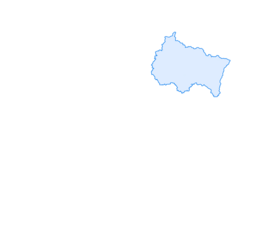

Following the Trail of the Vosges Front: From Thann to Wattwiller
Nivel de dificultad: T1
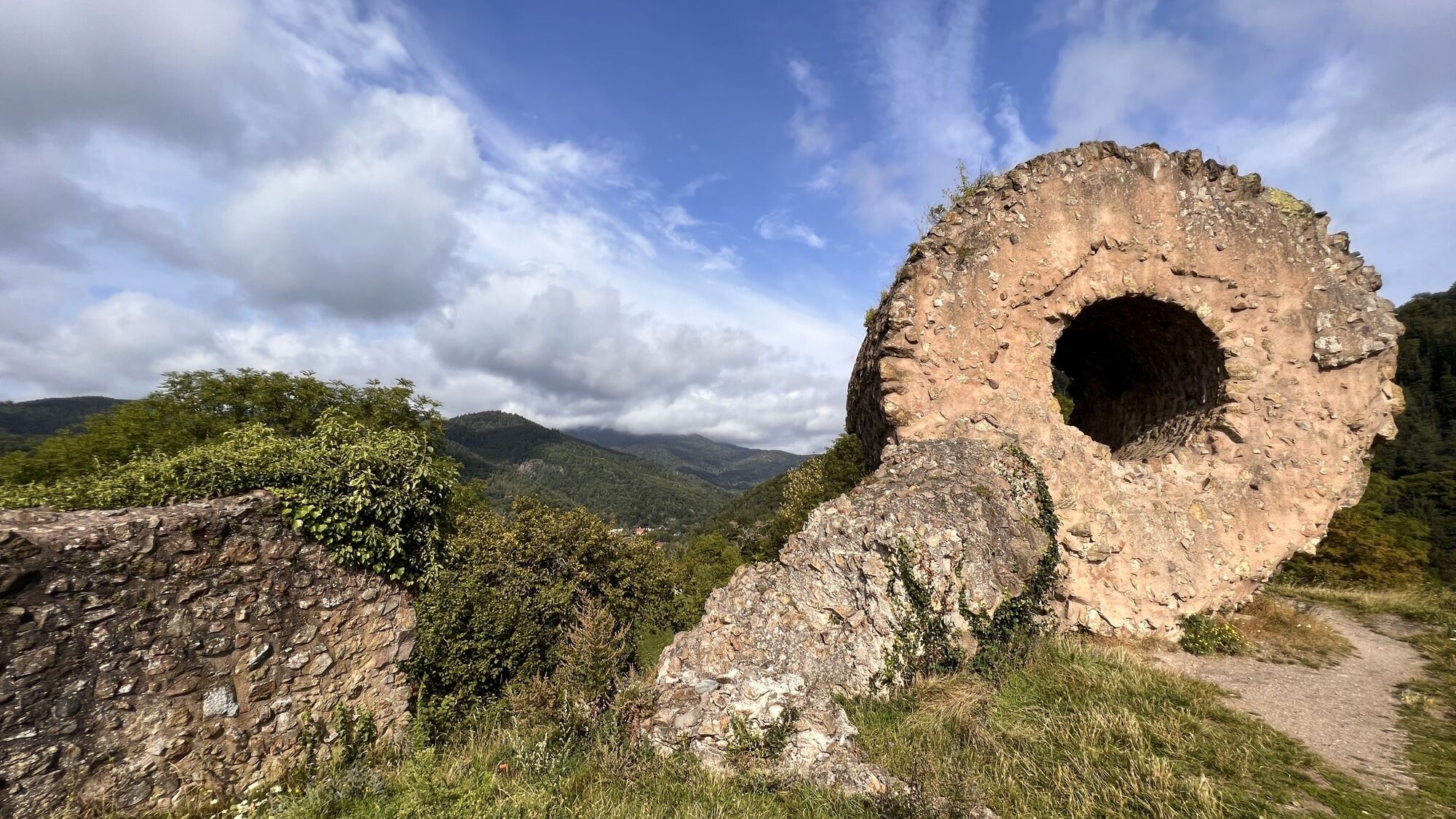
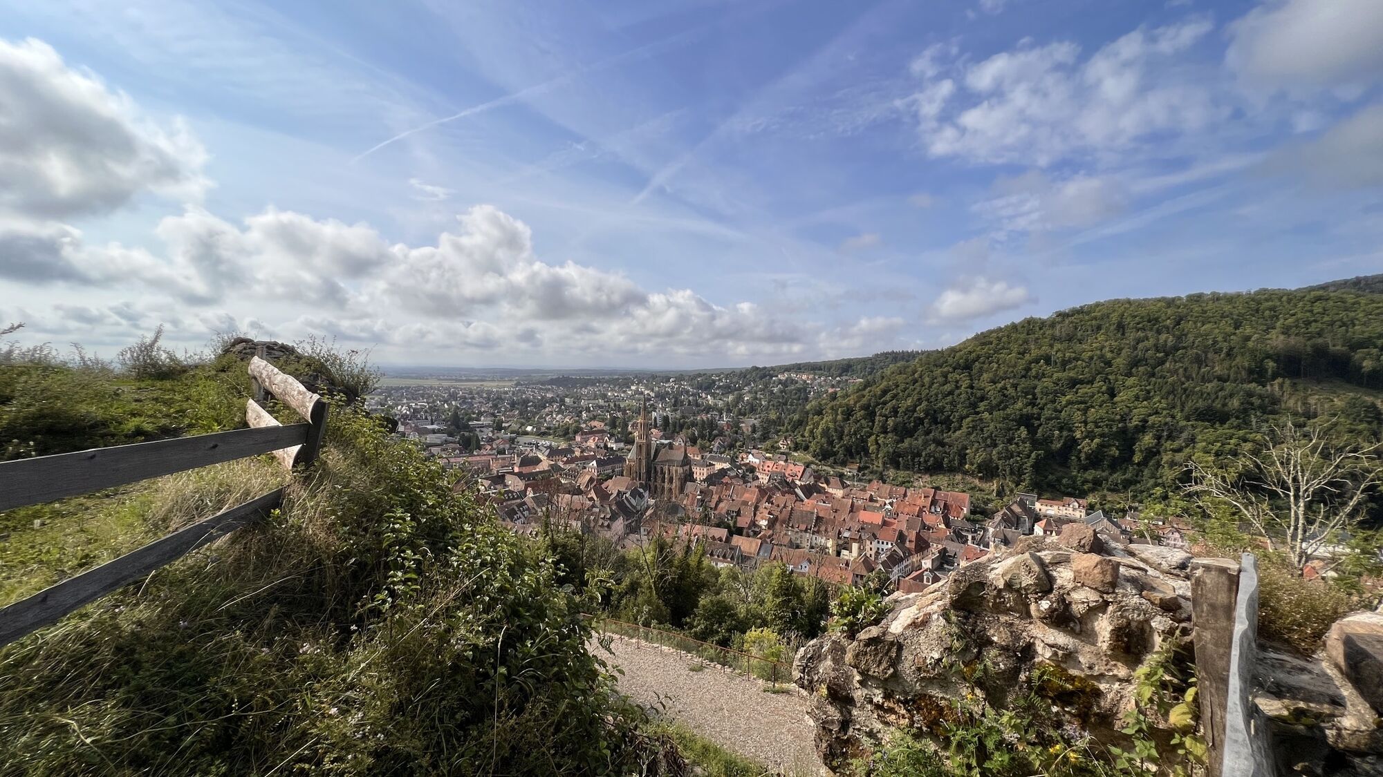
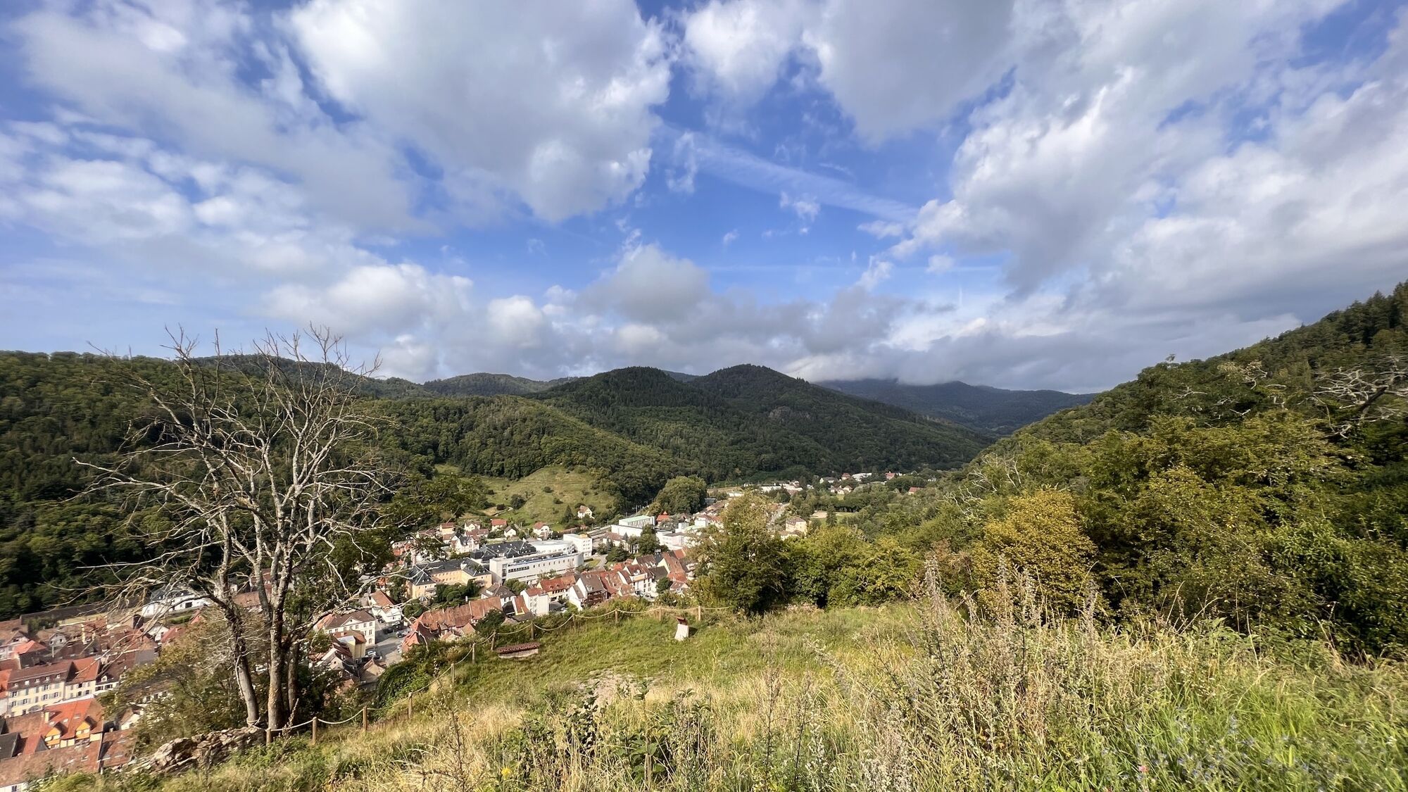
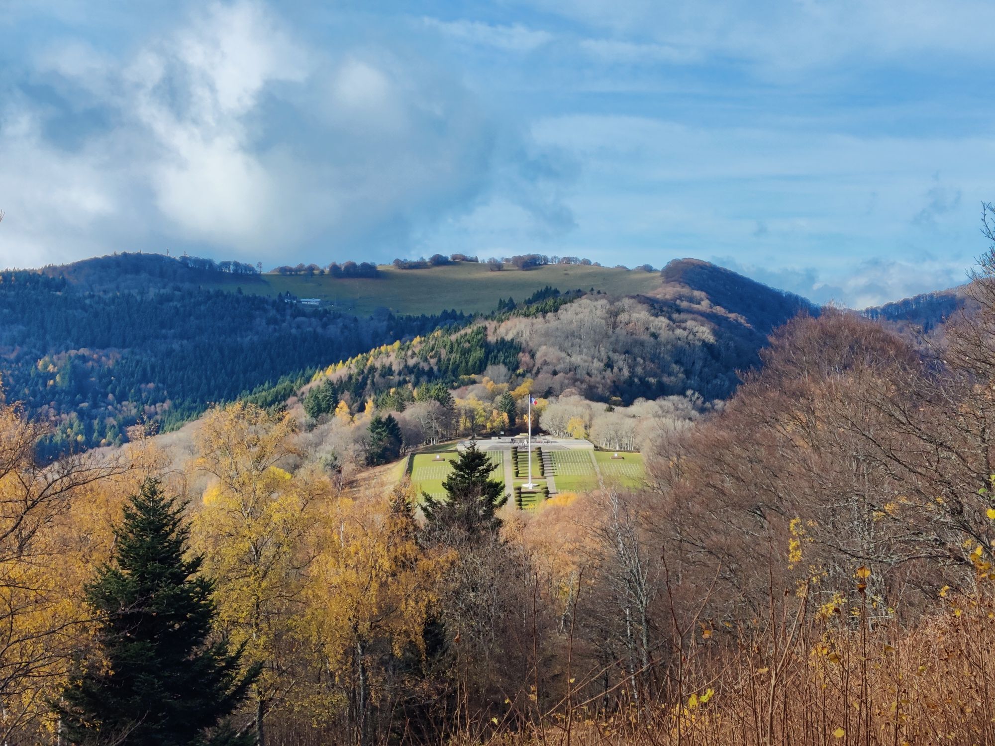
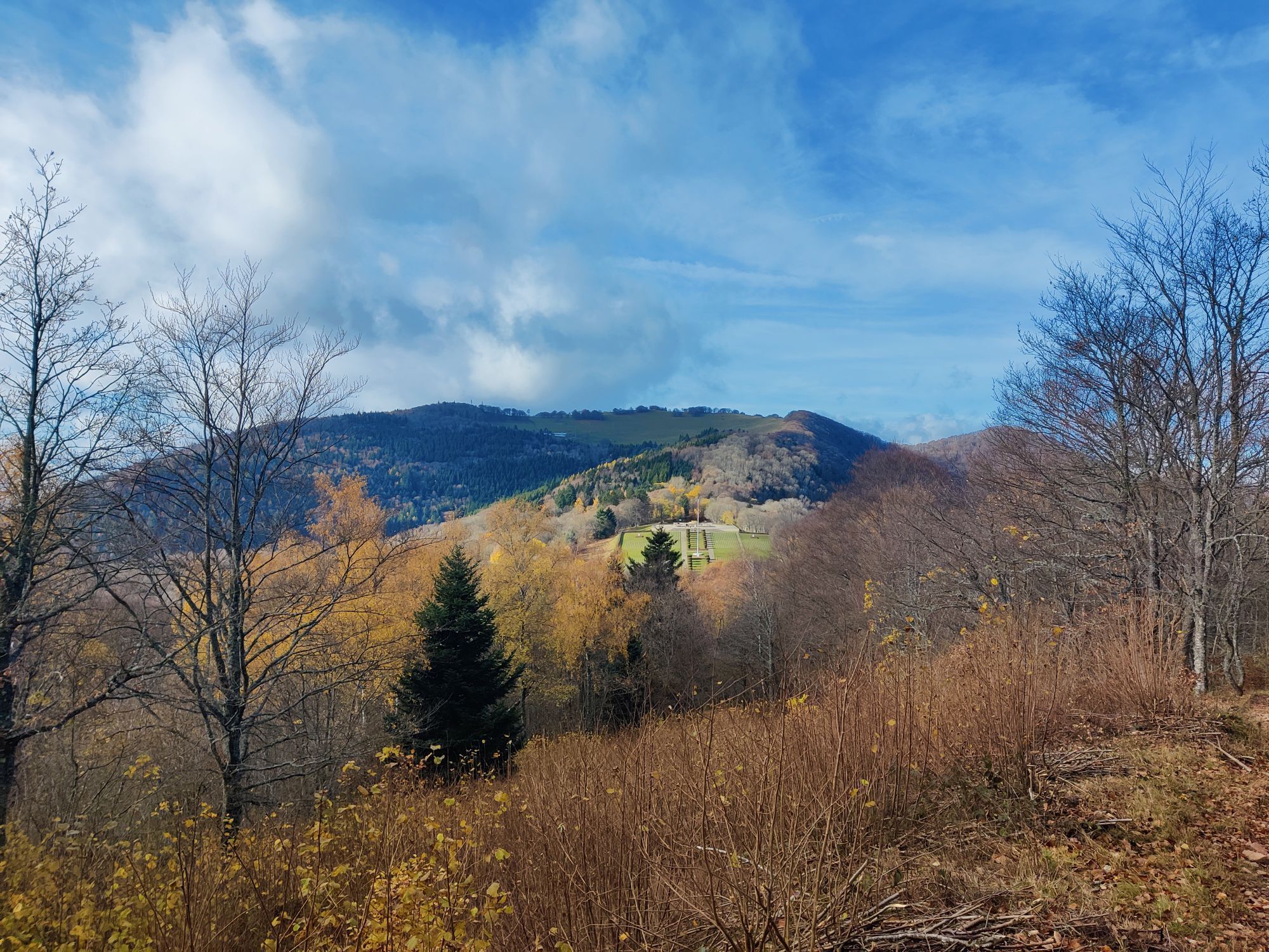
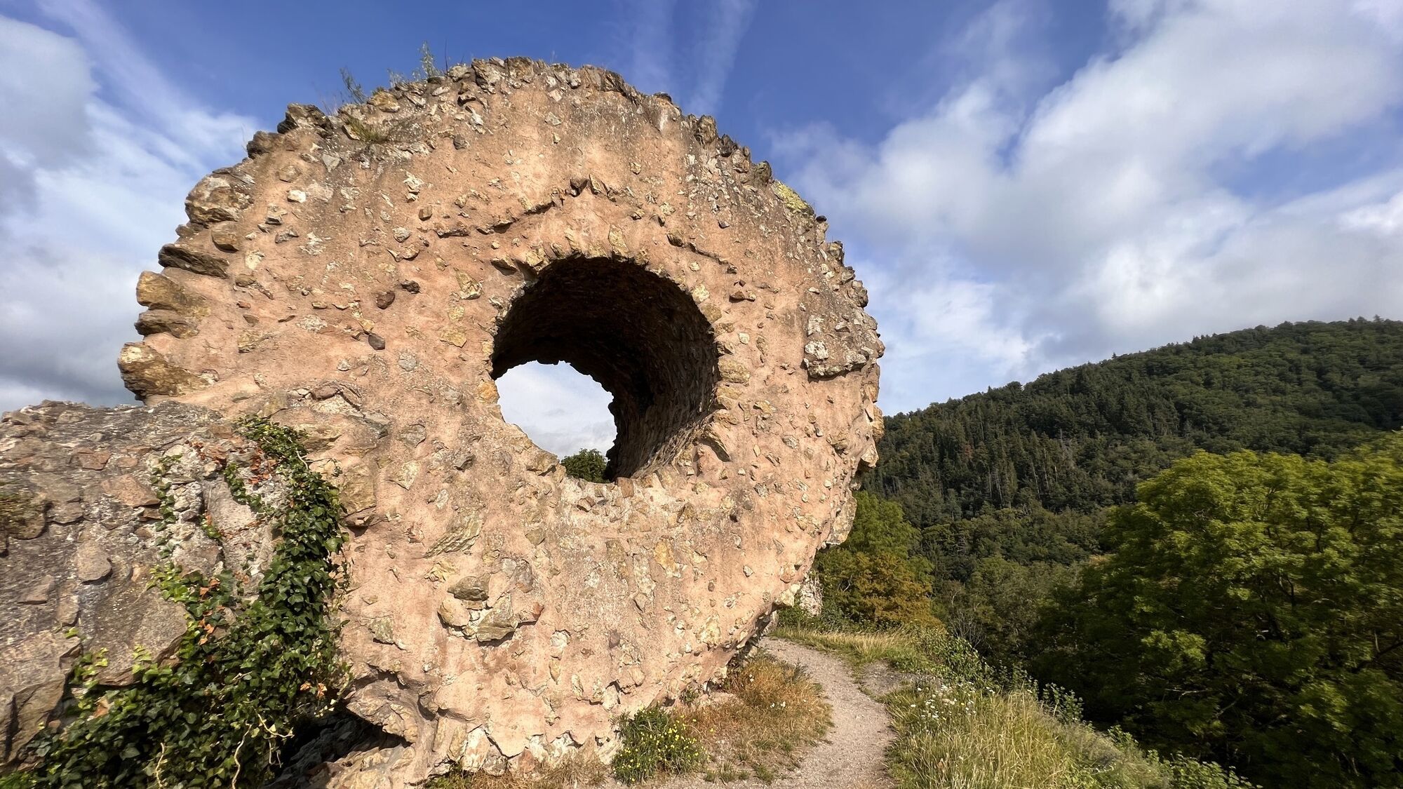
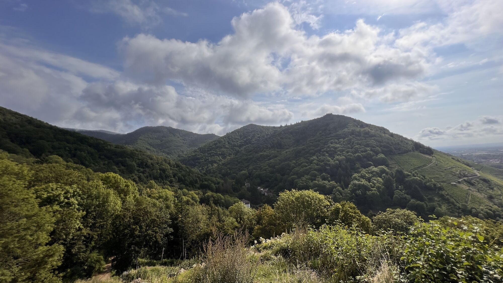
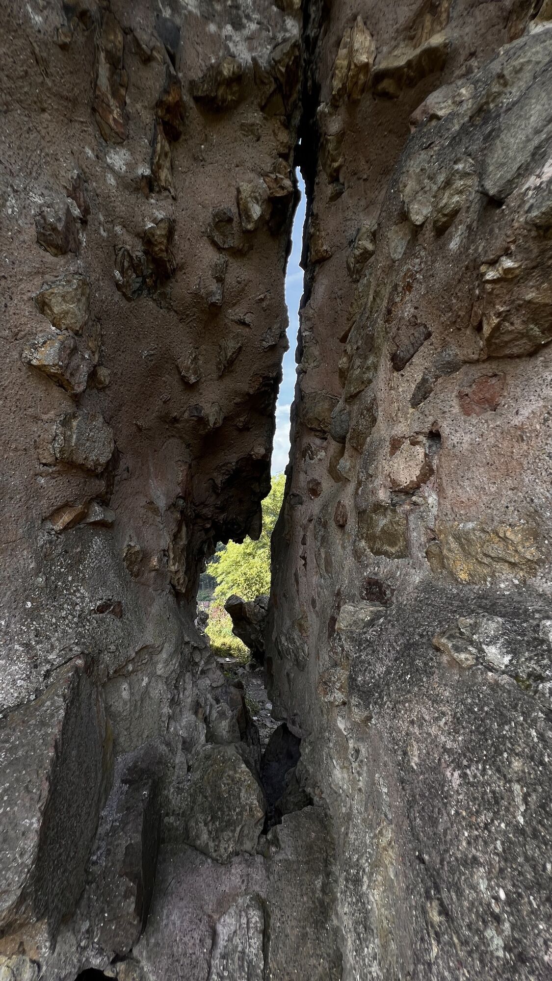
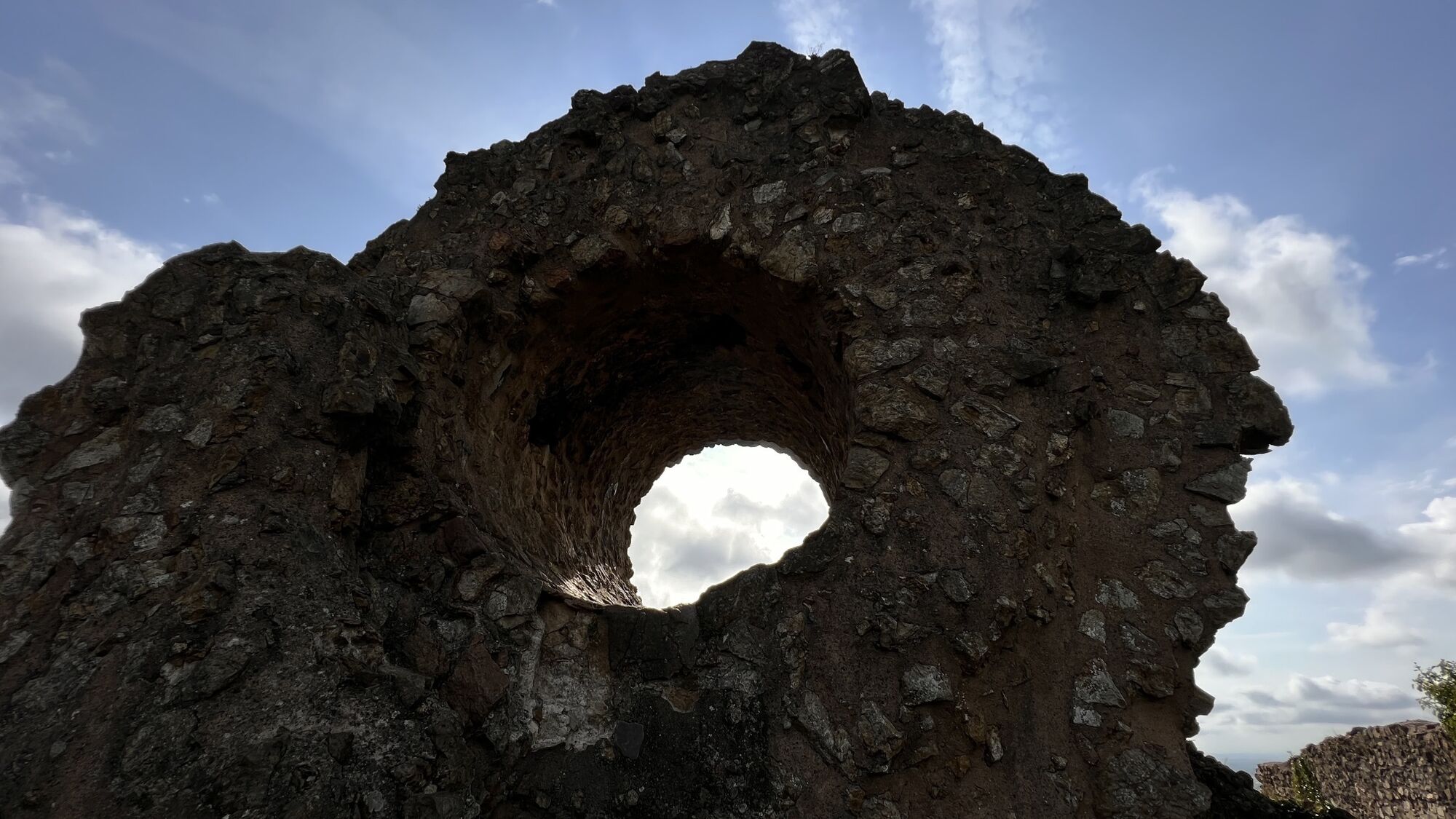
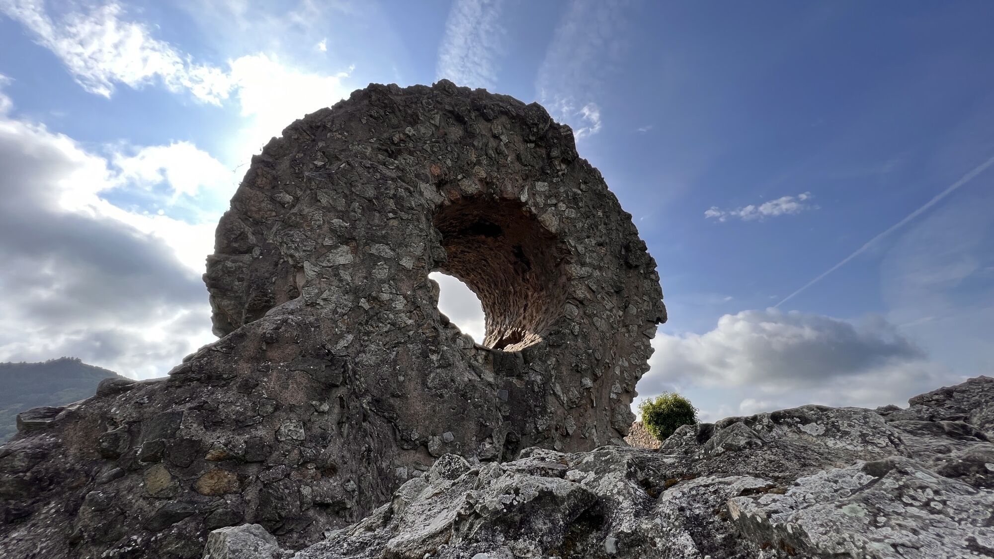
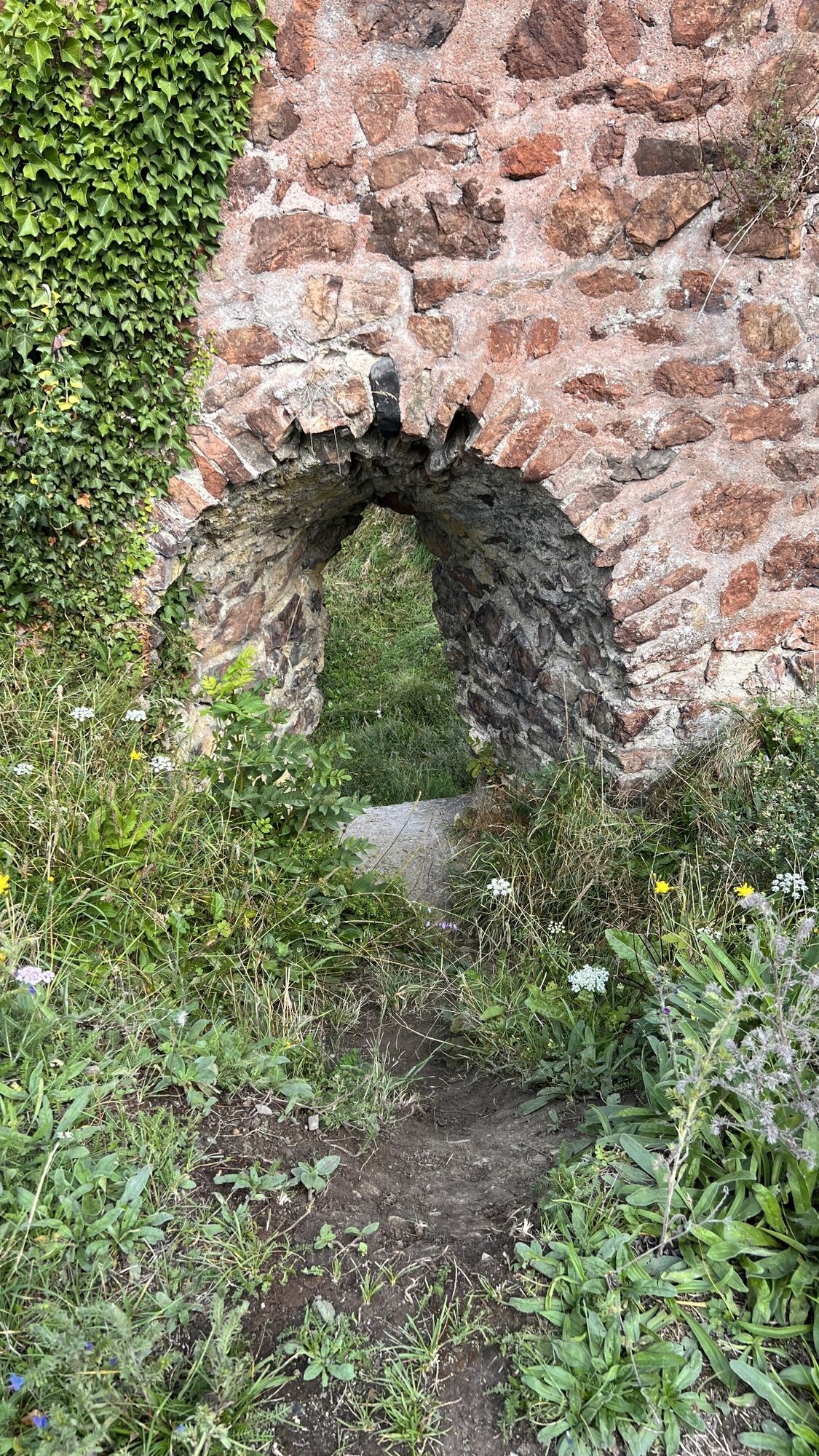
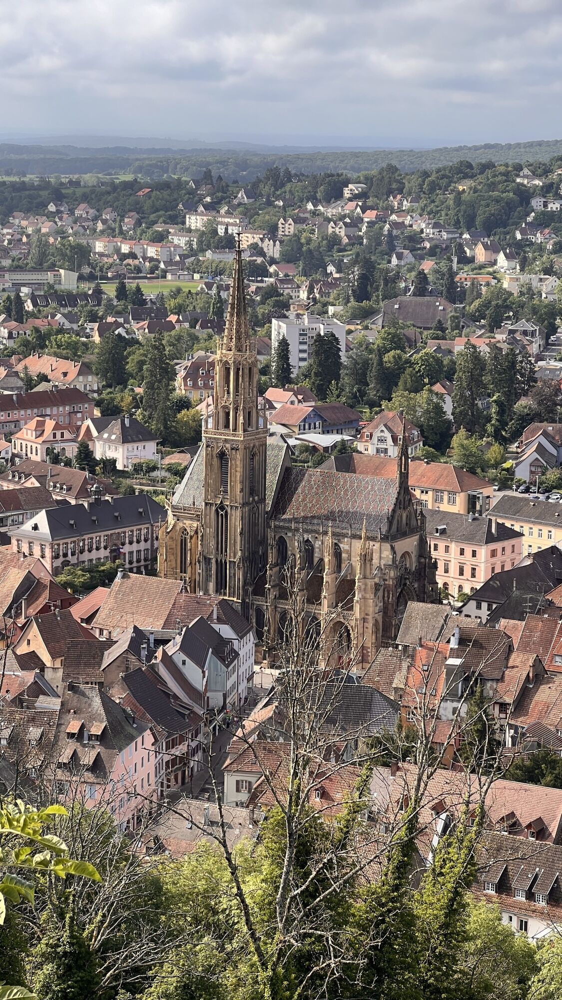
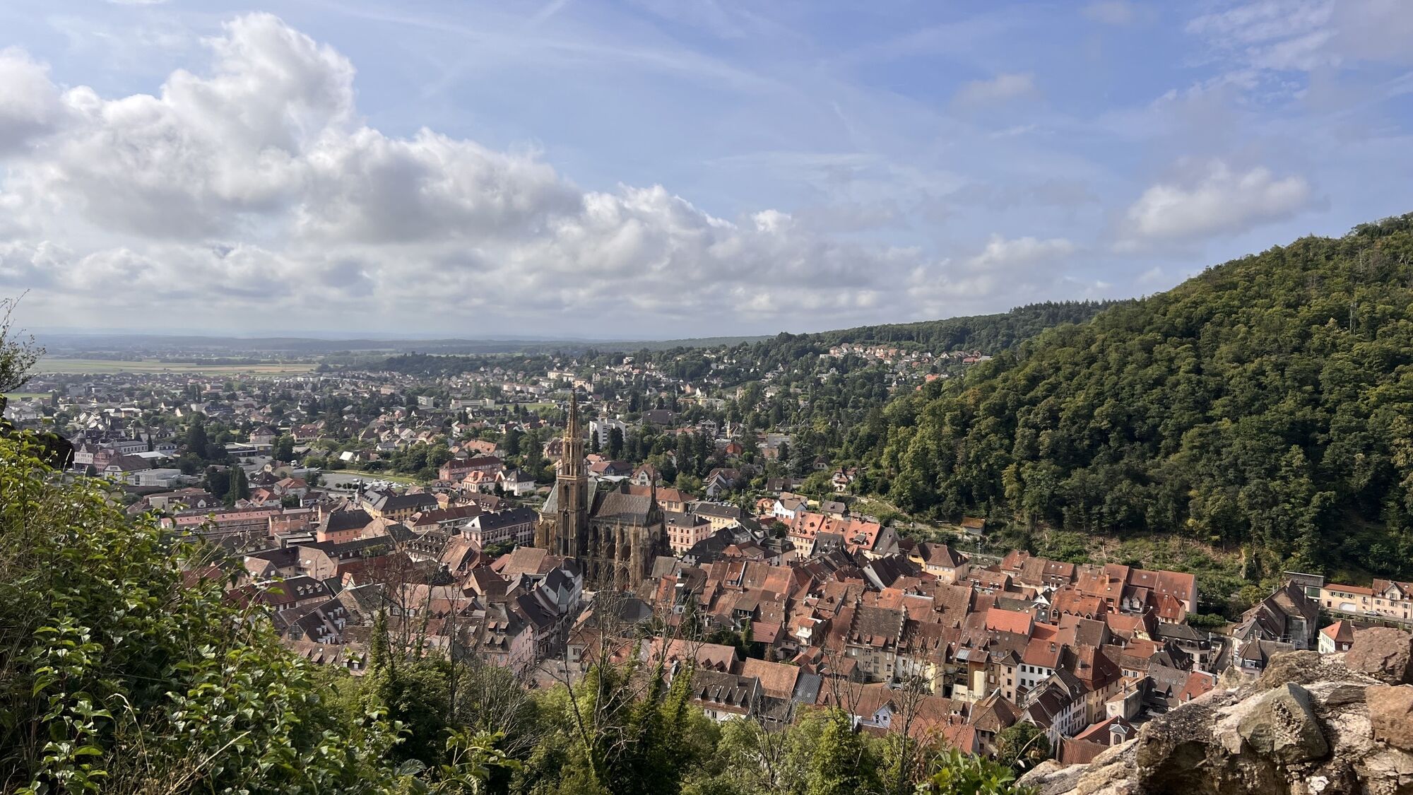
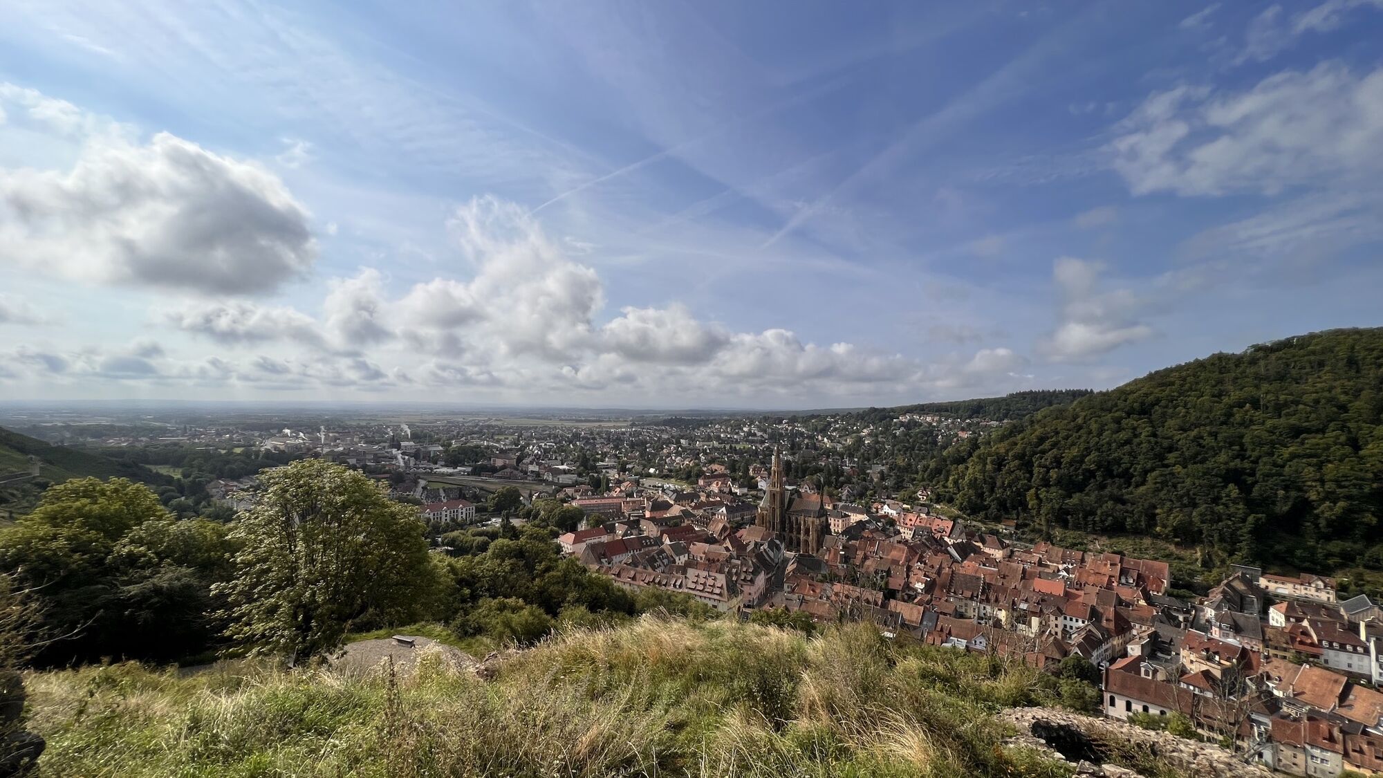
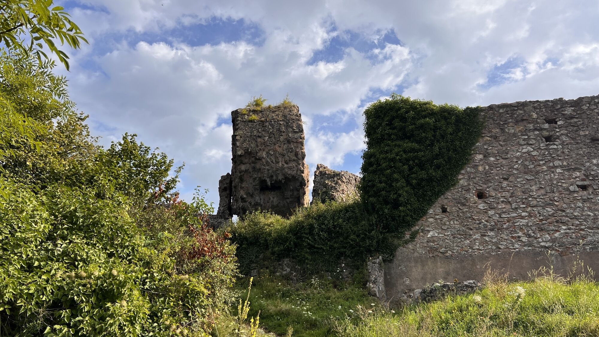
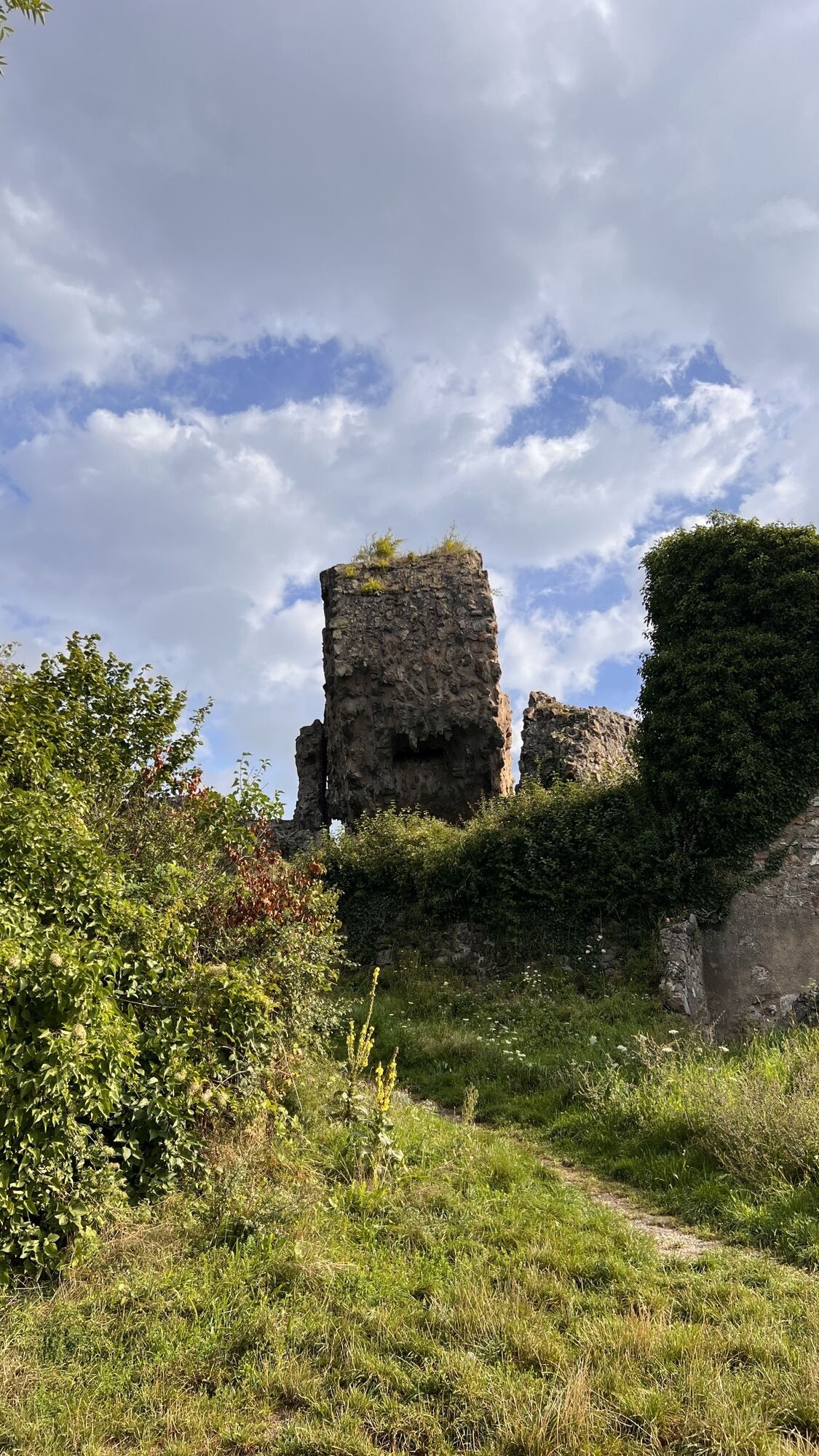
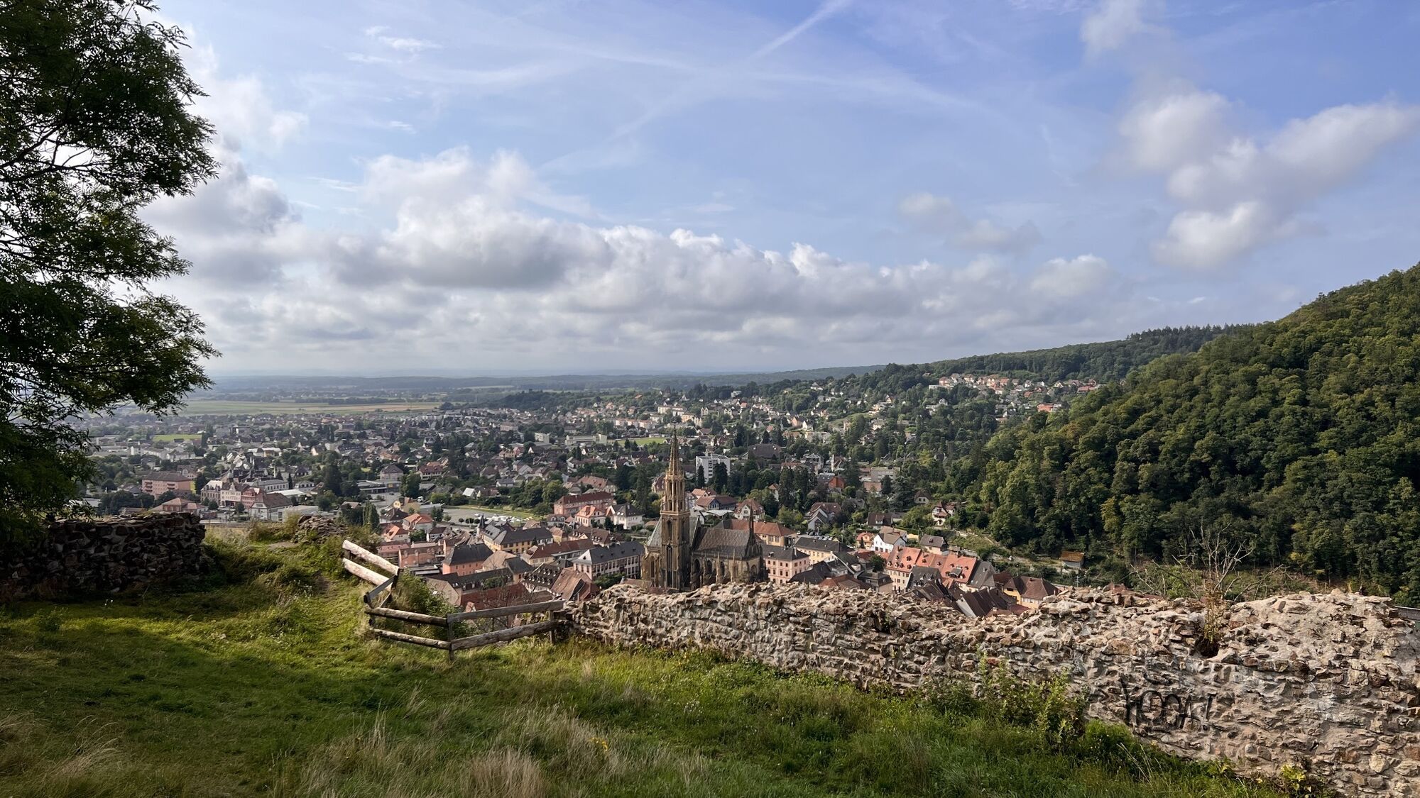
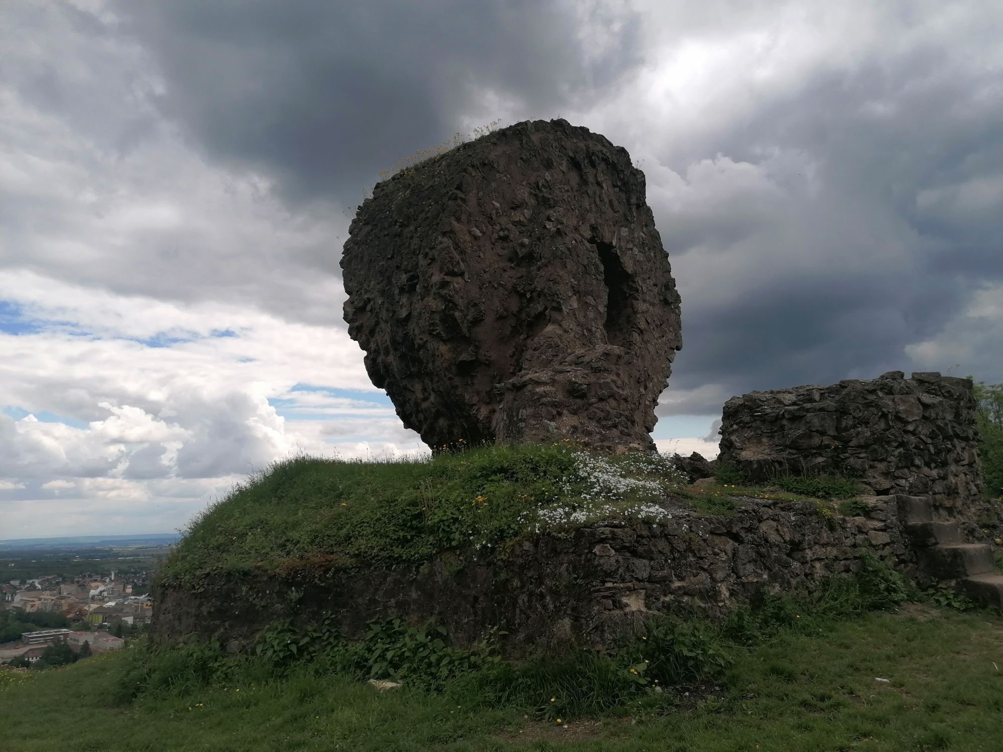
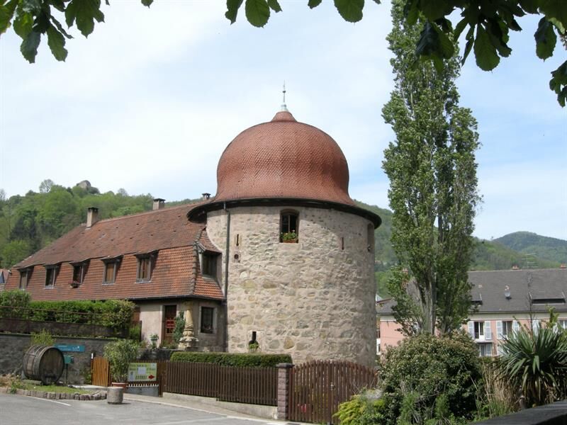
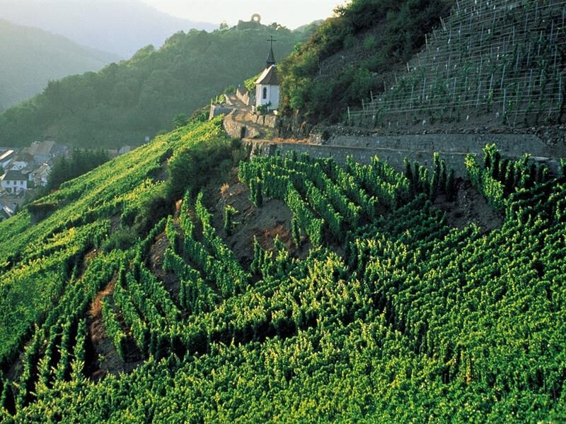
Starting in Thann, the hike takes you up the impressive slopes of the Rangen vineyards, the southernmost in Alsace. After passing through the town, the trail climbs through the forest, alternating between...
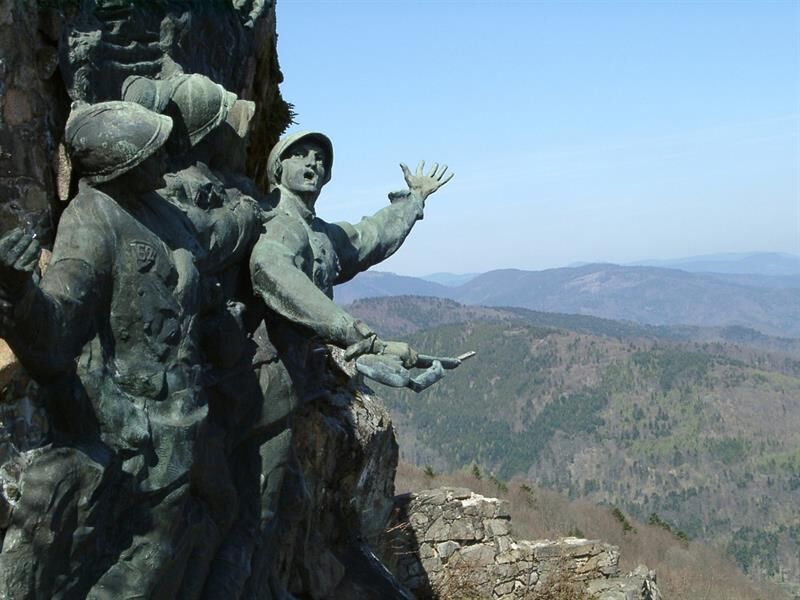
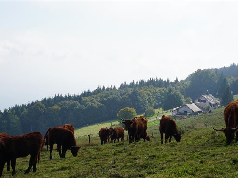
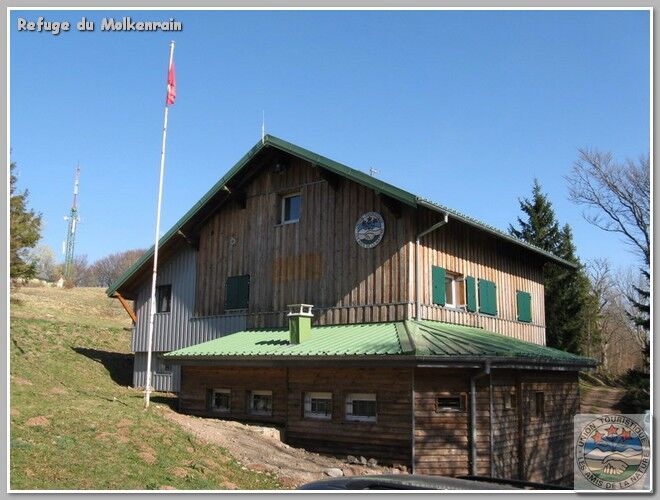
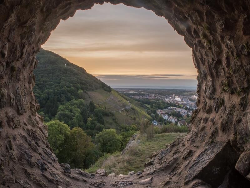
The route continues toward the Ostein rock, offering an unobstructed view of the valley. Higher up, the Molkenrain scree slopes and the summit of the same name mark the arrival on the ridges, amidst the atmosphere of a high-altitude moor. The consistently steep climb makes the effort felt over nearly 800 m of elevation gain. After the Les Amis de la Nature mountain hut, the trail winds toward the Vieil Armand, a significant memorial site for the Hartmannswillerkopf and its summit cross. The descent, which is steep in places, then leads to Wattwiller.
At the end of the route, explore the Church of Saint John the Baptist, the former bottling plant, and the François Schneider Foundation before reaching the historic center of Wattwiller. A challenging route.

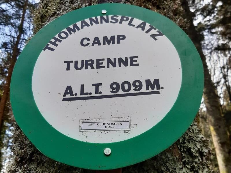
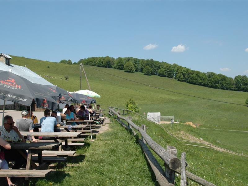

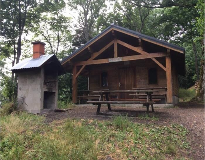

Follow the Club Vosgien trail markers.
Sturdy, comfortable shoes; weather-appropriate clothing using the layering principle; sun protection and rain gear; food and drinking water; a first-aid kit; a cell phone; and maps.
In case of an emergency
Alert authorities: Call 112 (European emergency number)
5 key points to include in your emergency call:
Where? Town, location, route, elevation
Who? Name, phone number
What? Type of accident, number of victims, severity, circumstances of the fall
When? Time of the accident
Weather? Wind, visibility
From the Alsace region, head to Thann through the Thur Valley. The starting point is in the city center, near the Rangen vineyard.
The trailhead is accessible from the Thann Mairie stop, which is served by the Crêtes shuttle (line 68R033).
Parking is available near the Thann Tourist Office, just a short walk from the starting point.
T1
7 rue de la 1ère Armée
68800 Thann
Tel: 03 89 37 96 20
thann@hautes-vosges-alsace.fr
www.hautes-vosges-alsace.fr
Webcams del recorrido
Infórmate
Siempre en directo con más de 9.500 webcams. bergfex Como usuario Pro, ahora puede ver las webcams correspondientes a muchos tours en la app de tours desde. Esto le permite ver las condiciones actuales directamente.
Rutas populares en los alrededores
-
Tour du Grand Ballon en 3 días
pesadoSendero de largo recorrido 54,2 km -
4,0
Boucle du Grand Ballon de Goldbach-Altenbach, France
medioSenderismo 14,7 km -
5,0
Visita al campo de batalla del Hartmannswillerkopf
luzSenderismo 5,45 km -
4,0
Recorrido Granja-Restaurante Strohberg "De un valle a otro"
medioSenderismo 4,85 km -
Walk Ferme-Auberge Buchwald "Listen to the bells ringing under the most beautiful beeches in the pasture"
medioSenderismo 4,06 km -
Traversée du Massif des Vosges - Etapa 17 - Thann - Ballon d'Alsace
pesadoSendero de largo recorrido 27,8 km -
El Thannerhubel en Bourbach-le-Haut
medioSenderismo 7,32 km -
Travesía del Macizo de los Vosgos - Etapa 16 - El Markstein - Thann
pesadoSendero de largo recorrido 28,0 km -
Farm-Auberge Grand Ballon walk "Under the highest peak of the Vosges"
luzSenderismo 5,16 km -
Paseo Posada agrícola del Haag "Entre sombra de las hayedas y luz de los prados"
medioSenderismo 5,83 km
Senderismo y rastreo


No se pierda las ofertas y la inspiración para sus próximas vacaciones
Su dirección de correo electrónico se ha añadido a la lista de correo.





