
La Schlucht - Auberge du Gazon du Faing - Collet du Linge - Le tétras bistrot
pesado
Consigue este tour en tu móvil
La Schlucht - Auberge du Gazon du Faing - Collet du Linge - Le tétras bistrot
pesado
Ciclismo de carrera
51,31
km
Escanee el código QR e inicie la navegación en la aplicación bergfex


Senderismo y rastreo



La Schlucht - Auberge du Gazon du Faing - Collet du Linge - Le tétras bistrot
pesado
Distancia
51,3
km
Duración
02:47
h
Ascenso
1.200
m
Nivel del mar
415 -
1.232
m

Navega por tu recorrido en la aplicación
Instala la aplicación de forma gratuita y no pierdas de vista la ruta, con navegación por GPS y seguimiento.
Usa ya « bergfex » en la aplicación
Escanea el código QR con tu cámara
Una vez instalada la aplicación, el contenido se abre directamente. Si aún no tienes la aplicación, podrás descargarla de forma gratuita.
Descarga de pistas
La Schlucht - Auberge du Gazon du Faing - Collet du Linge - Le tétras bistrot
pesado
Ciclismo de carrera
51,31
km


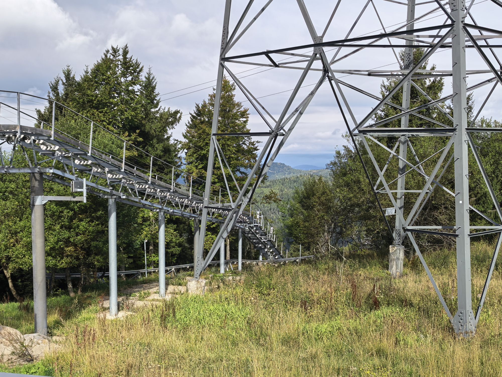
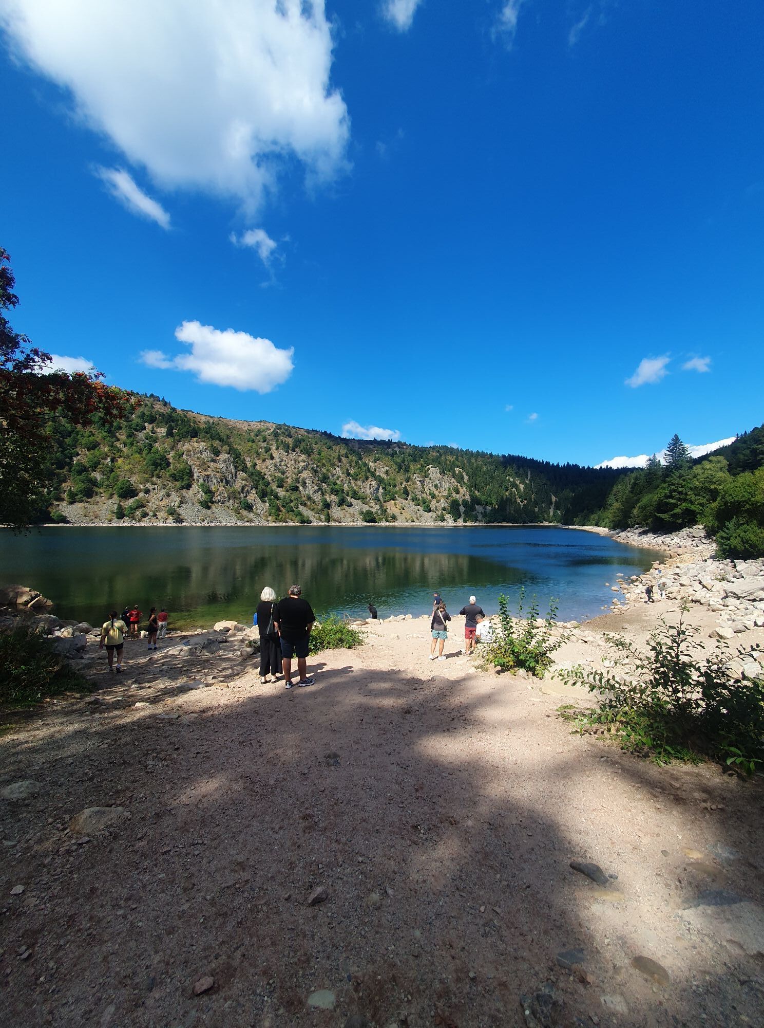
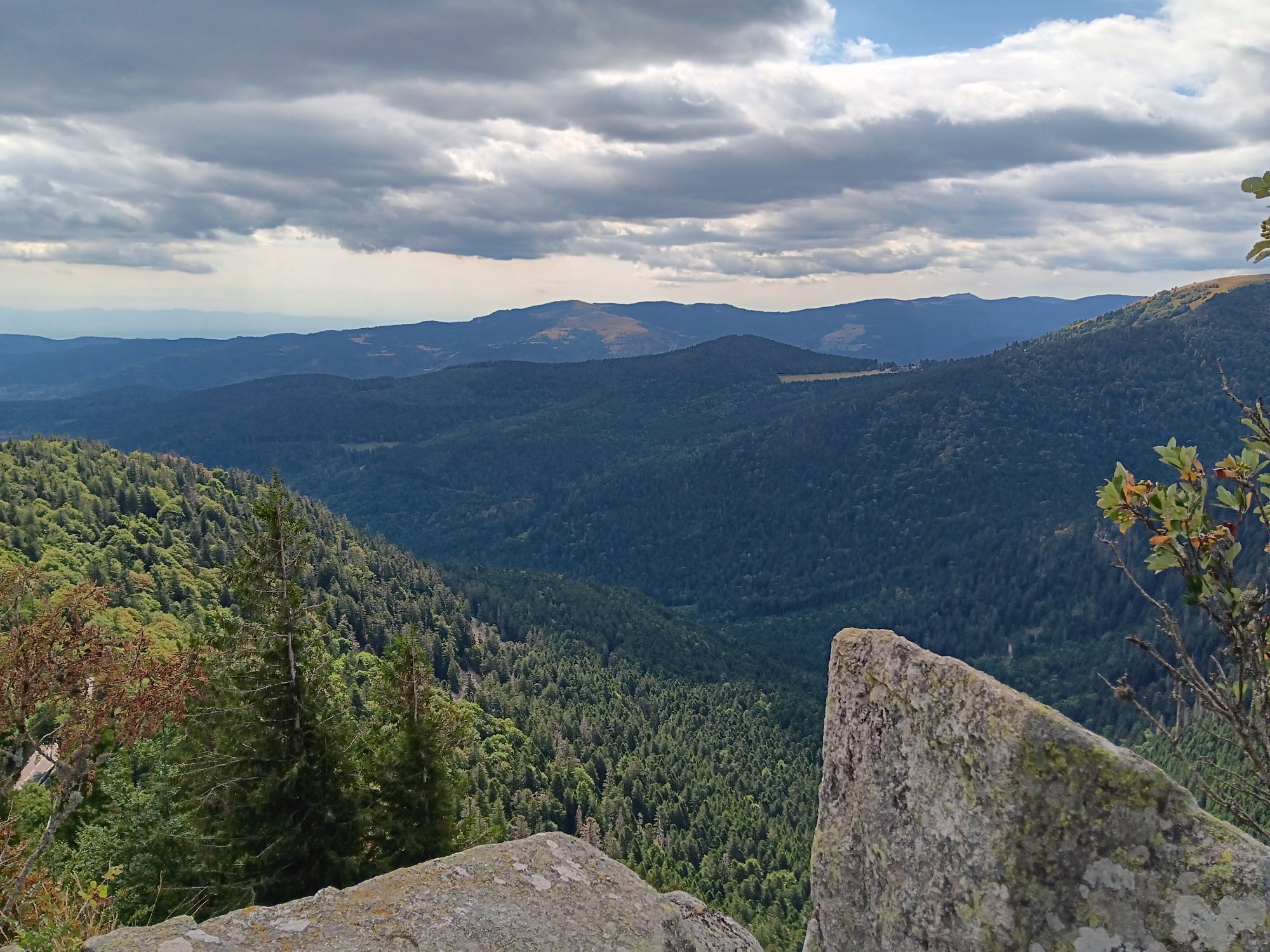
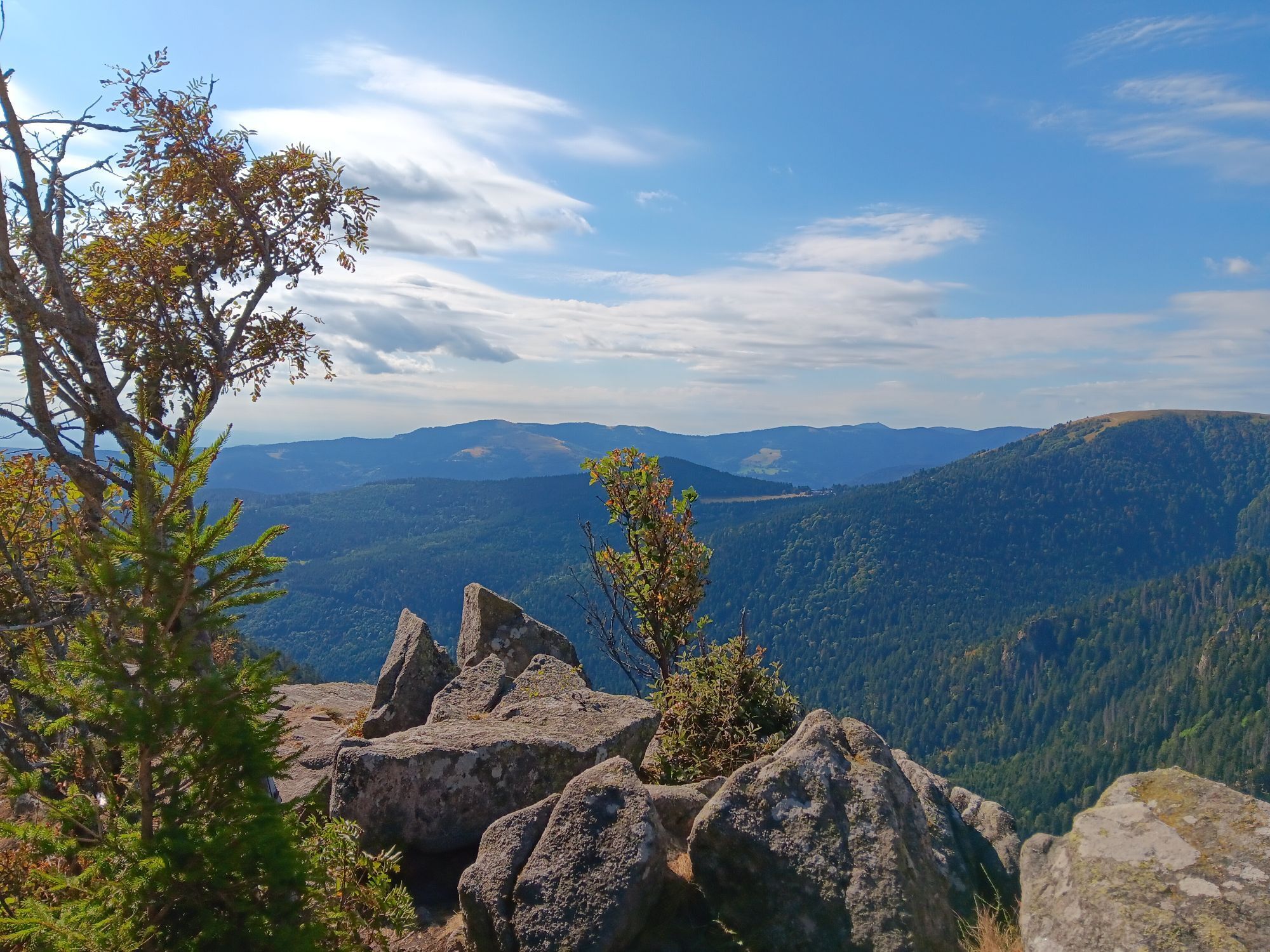
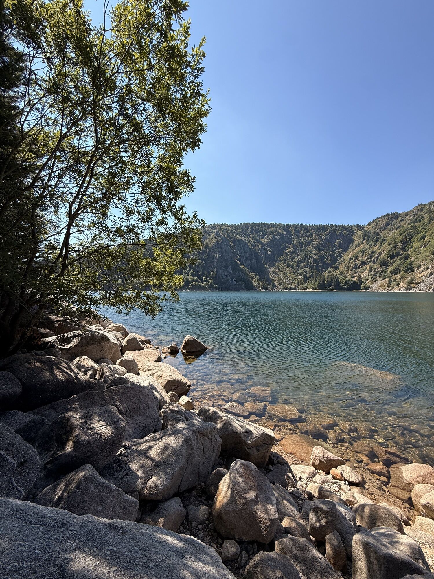
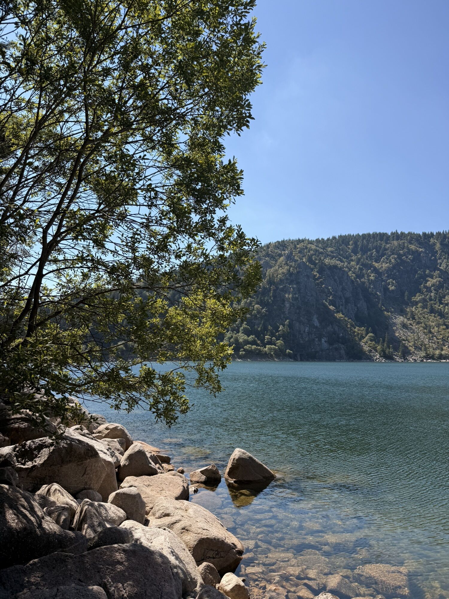
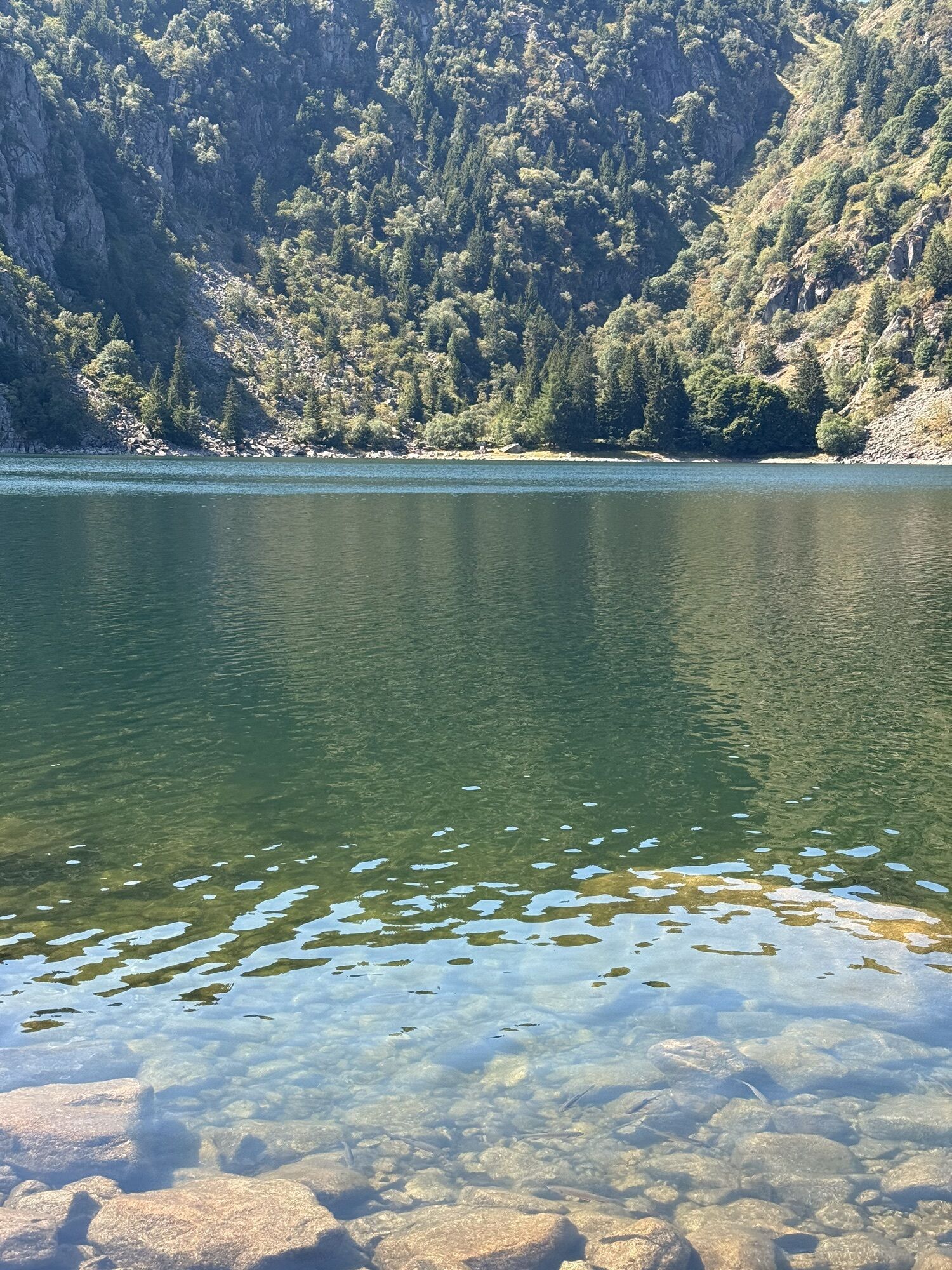

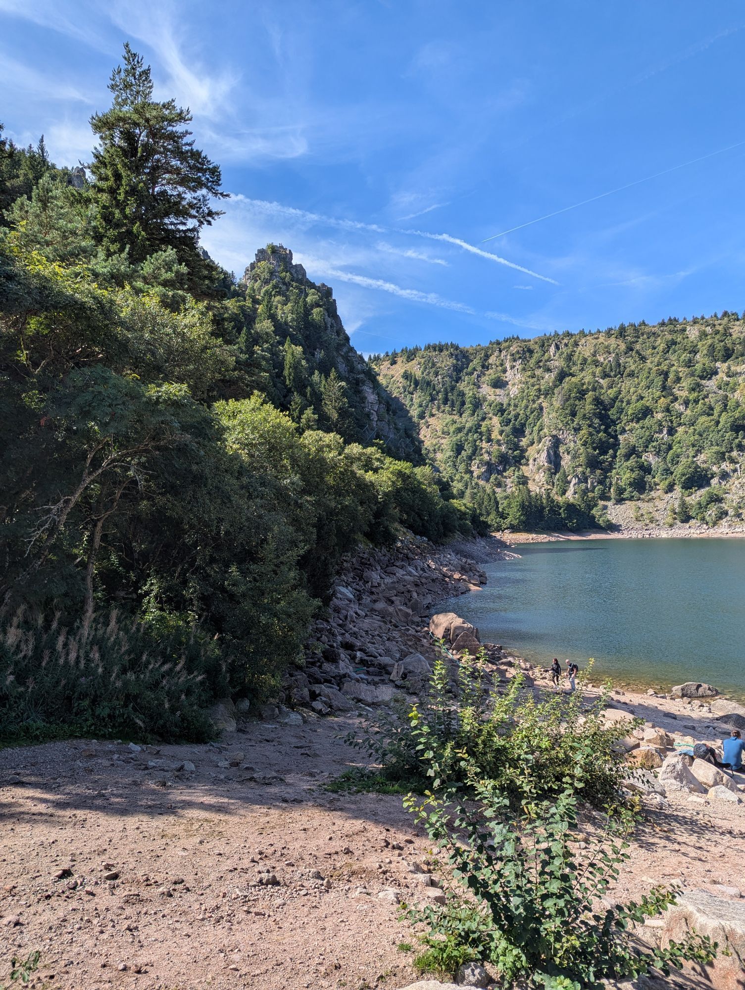

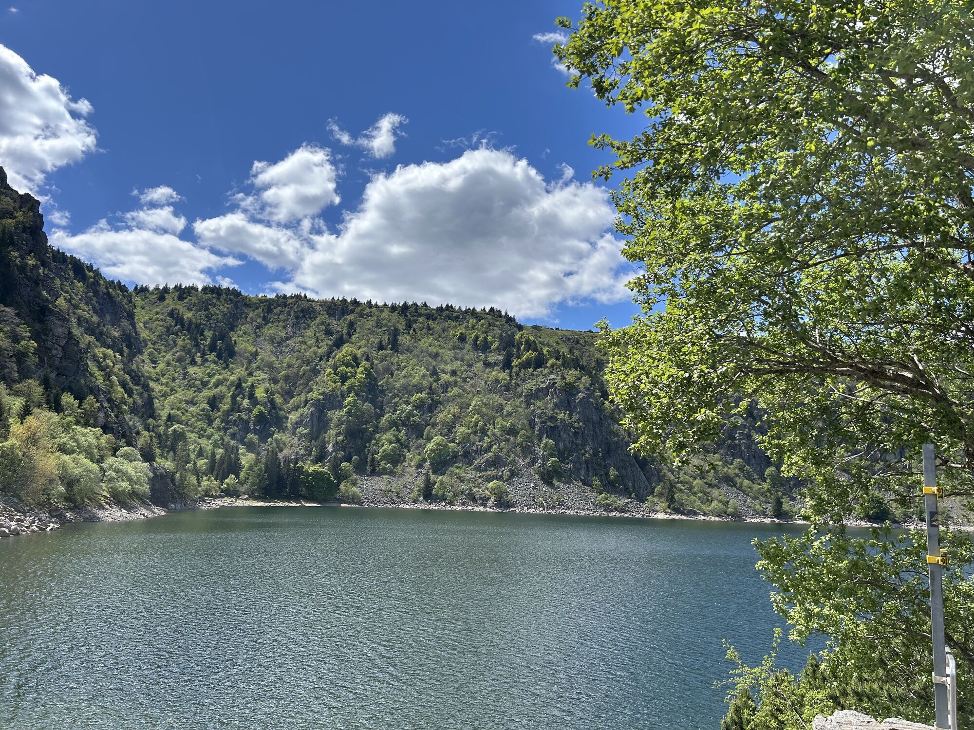
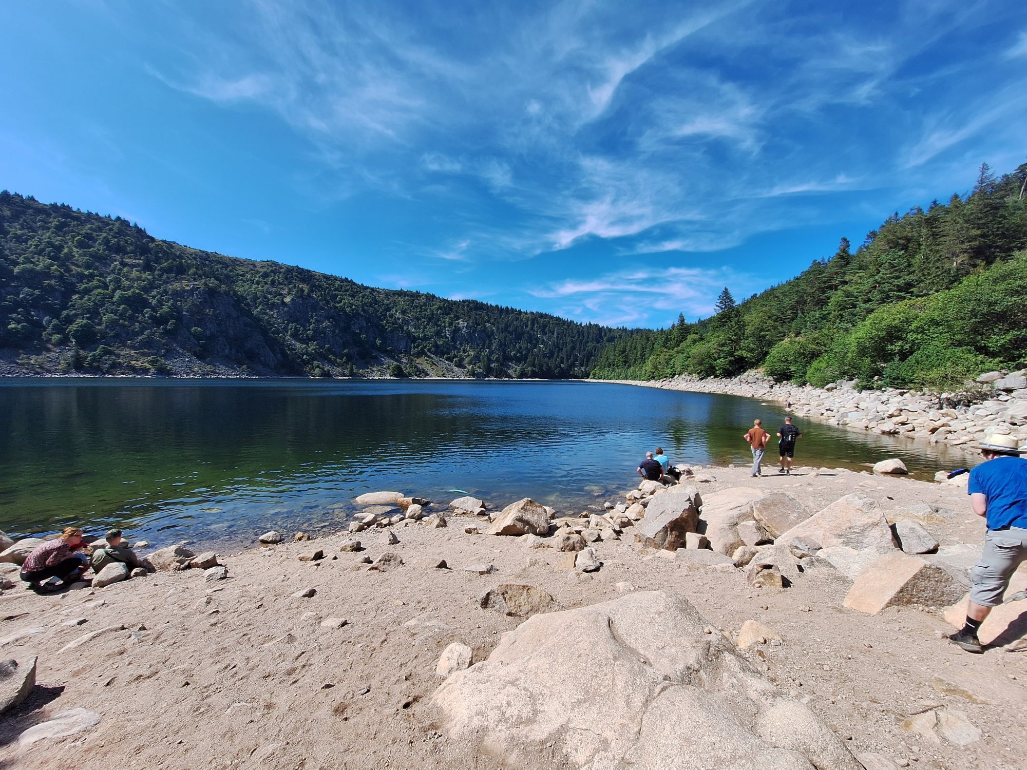
Ruta
La Schlucht
(1.140 m)
Liquidación
0,0 km
Collet du Linge
(987 m)
Puerto de montaña
25,6 km
Hohrodberg
(810 m)
Liquidación
29,6 km
Hohrod
(491 m)
Pueblo
33,7 km
Stosswihr
(441 m)
Pueblo
35,9 km
Soultzeren
(501 m)
Pueblo
37,5 km
La Schlucht
(1.140 m)
Liquidación
51,0 km
Ruta
La Schlucht - Auberge du Gazon du Faing - Collet du Linge - Le tétras bistrot
pesado
Ciclismo de carrera
51,31
km
La Schlucht
(1.140 m)
Liquidación
0,0 km
Auberge du Gazon du Faing
(1.227 m)
Restaurante
7,5 km
Baby
(1.154 m)
Estación de góndola
12,1 km
Auberge des Crêtes
(1.147 m)
Restaurante
12,3 km
Restaurant Les terrasses du Lac Blanc
(1.136 m)
Restaurante
12,5 km
Le Mille Mètres
(1.054 m)
Restaurante
13,8 km
Collet du Linge
(987 m)
Puerto de montaña
25,6 km
Langhagel
(868 m)
Corredor/terreno
27,6 km
Obere Aecker
(775 m)
Corredor/terreno
29,4 km
Kleinbruch
(754 m)
Corredor/terreno
29,6 km
Hohrodberg
(810 m)
Liquidación
29,6 km
Mittel Hohrodberg
(761 m)
Corredor/terreno
29,9 km
Klosteraecker
(730 m)
Corredor/terreno
30,1 km
Hôtel Restaurant Panorama
(703 m)
Restaurante
30,5 km
Strin
(521 m)
Corredor/terreno
33,3 km
Hohrod
(491 m)
Pueblo
33,7 km
Lehmatten
(459 m)
Corredor/terreno
34,0 km
Frohnhof
(458 m)
Corredor/terreno
34,3 km
Auf dem Feul
(428 m)
Corredor/terreno
35,3 km
Flam's Gourmandes
(434 m)
Restaurante
35,6 km
A L'ancienne Poste
(439 m)
Restaurante
35,7 km
Stosswihr
(441 m)
Pueblo
35,9 km
Im Rod
(480 m)
Corredor/terreno
36,8 km
Saacksarcker
(497 m)
Corredor/terreno
37,3 km
Soultzeren
(501 m)
Pueblo
37,5 km
Auf Dem Koepfle
(532 m)
Corredor/terreno
38,1 km
Roosbirken
(596 m)
Corredor/terreno
39,2 km
Sahrain
(612 m)
Corredor/terreno
39,5 km
Untere Wann
(602 m)
Corredor/terreno
39,6 km
La Maison
(1.139 m)
Restaurante
51,0 km
La Schlucht
(1.140 m)
Liquidación
51,0 km
Le tétras bistrot
(1.140 m)
Restaurante
51,1 km
Autor
Proporcionado por Bergfex Tour Generator

Compartir gira
La Schlucht - Auberge du Gazon du Faing - Collet du Linge - Le tétras bistrot
pesado
Ciclismo de carrera
51,31
km
Error
Se ha producido un error. Por favor, inténtelo de nuevo.

Aún no hay opiniones

Todas las cámaras web en un mapa
Descarga la aplicación gratis y compara las imágenes en directo de varios lugares antes de salir.
Usa ya « bergfex » en la aplicación
Escanea el código QR con tu cámara
Una vez instalada la aplicación, el contenido se abre directamente. Si aún no tienes la aplicación, podrás descargarla de forma gratuita.
Rutas populares en los alrededores
-
4,3
Circuito de senderismo - el recorrido de los 3 lagos
medioSenderismo 12,7 km -
5,0
Le tétras bistrot - Hohneck - Chapelle Notre-Dame-des-Chaumes - Brasserie de la Schlucht
pesadoSenderismo 10,7 km -
4,6
Eguisheim zu den 3 Burgen
medioSenderismo 7,90 km -
5,0
Vogesen Col de la Schlucht
pesadoSenderismo 19,3 km -
4,5
De la Schlucht al Hohneck
medioSenderismo 8,21 km -
Tour de l'Altenweiher et Rainkopf, Mittlach, France
medioSenderismo 12,6 km -
4,7
La cresta del lac Blanc
luzSenderismo 5 km -
4,8
Paseo Longemer Col des Feignes
medioSenderismo 8,83 km -
4,3
Le tétras bistrot - Hôtel - Restaurant du Chalet - Chapelle Notre-Dame-des-Chaumes - La Schlucht
medioSenderismo 5,95 km -
5,0
Ruta de senderismo: Las cascadas de la Wormsa y el lago Fischboedle
medioSenderismo 8,15 km
Senderismo y rastreo

Más de 550.000 sugerencias de excursiones, mapas detallados y un intuitivo planificador de rutas hacen de esta aplicación una herramienta imprescindible para todos los amantes de la naturaleza.

No se pierda las ofertas y la inspiración para sus próximas vacaciones
Suscribirse al boletín de noticias
Error
Se ha producido un error. Por favor, inténtelo de nuevo.
Gracias por inscribirse
Su dirección de correo electrónico se ha añadido a la lista de correo.
Viajes por Europa
Austria
Suiza
Alemania
Italia
Eslovenia
Francia
Países Bajos
Belgium
Polonia
Liechtenstein
República Checa
Slovakia
España
Croacia
Bosnia y Herzegovina
Luxemburgo
Andorra
Portugal
Iceland
United Kingdom
Ireland
Greece
Albania
North Macedonia
Malta
Norway
Montenegro
Moldova
Kosovo
Hungary
San Marino
Romania
Estonia
Latvia
Belarus
Cyprus
Lithuania
Serbia
Bulgaria
Monaco
Denmark
Sweden
Finland


