






Grand Chamossaire
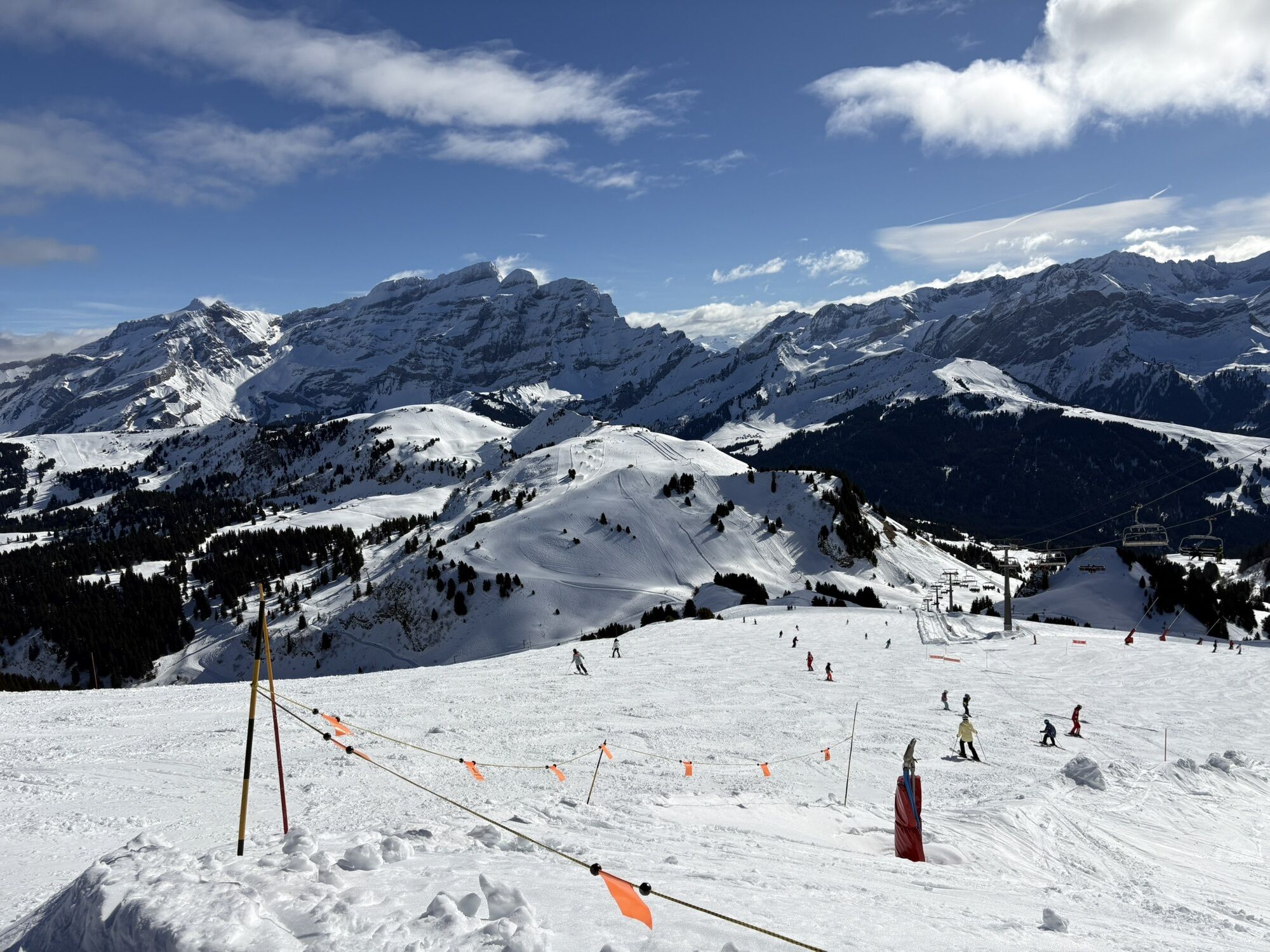
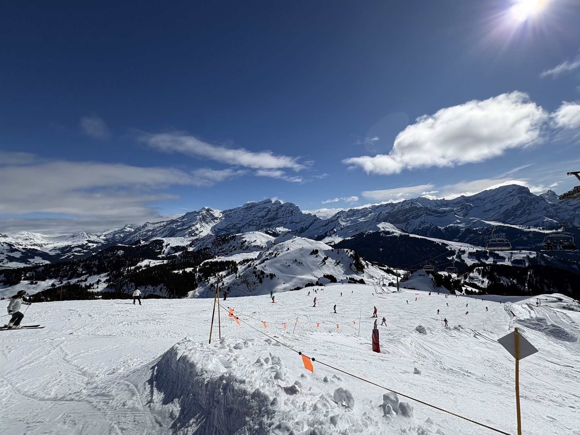
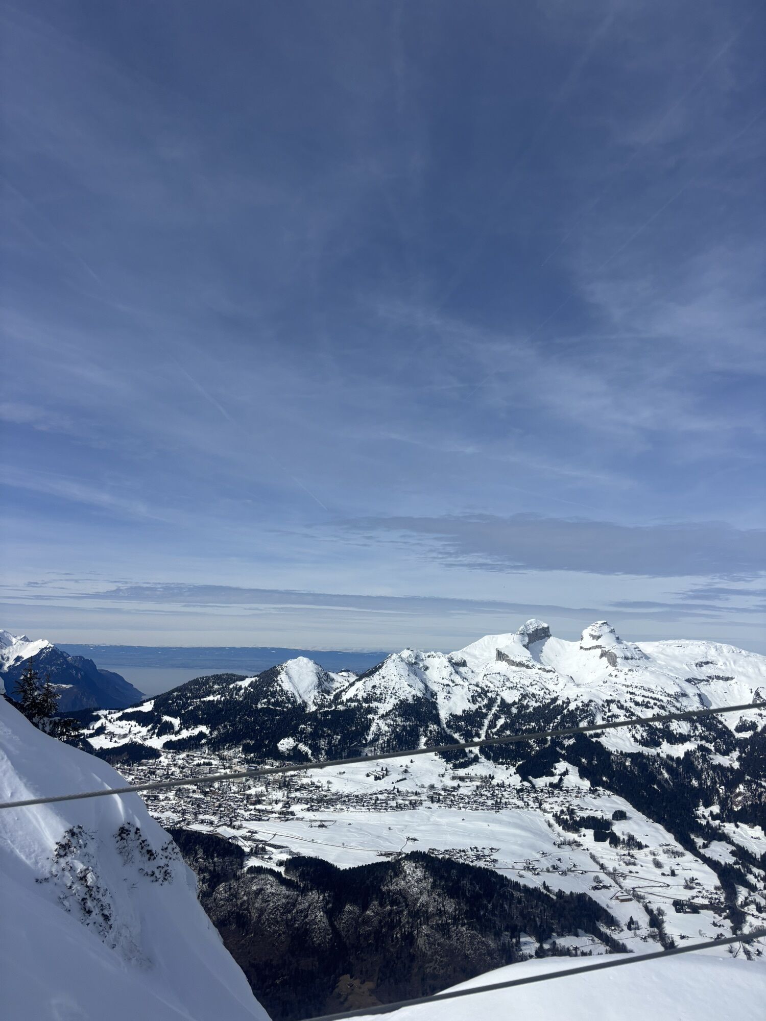
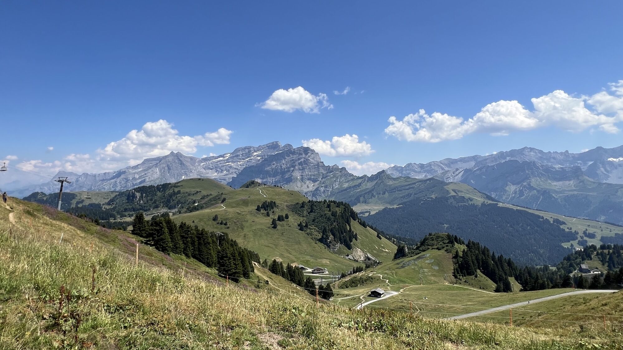
The steep ascent leads through meadows and forested areas to the Route des Tailles, where you can enjoy magnificent views of Villars and the surrounding mountains. Continue for another 1.5 kilometres on...
The steep ascent leads through meadows and forested areas to the Route des Tailles, where you can enjoy magnificent views of Villars and the surrounding mountains. Continue for another 1.5 kilometres on the gently climbing road, beforet turning left and passing under the gondola line to reach Roc d’Orsay. Well-known among regulars, this section requires extra caution in icy conditions. From Roc d’Orsay, it’s only a few hundred metres to the top of Grand Chamossaire.


Don’t leave any garbage behind, show consideration for the natural environment and the property owners of the land used! The forest is an undisturbed wildlife habitat, so please stay on the marked trails.
Infórmate
Siempre en directo con más de 9.500 webcams. bergfex Como usuario Pro, ahora puede ver las webcams correspondientes a muchos tours en la app de tours desde. Esto le permite ver las condiciones actuales directamente.
Rutas populares en los alrededores
-
5,0
Tour de l'éboulement des Diablerets
luzSenderismo 6,52 km -
5,0
De Bretaye au Lac des Chavonnes via Vy Boveyre et Conche
luzSenderismo 5,37 km -
4,6
Les Diablerets- Villars - Gryon
medioEsquí 51,8 km -
5,0
La Palette
luzSenderismo 9,91 km -
5,0
Loutze
luzSenderismo de invierno 6,83 km -
5,0
Tour de los lapiaz de Zanfleuron
medioSenderismo 9,64 km -
5,0
Herbstwanderung in den Waadtländer Alpen ??
medioSenderismo 14,3 km -
4,5
Bretaye
luzEsquí de travesía 4,59 km -
3,0
Sendero a lo largo de las gargantas de la Vièze
luzSenderismo 6,18 km -
3,0
Jorasse
medioRaquetas de nieve 4,05 km
Senderismo y rastreo


No se pierda las ofertas y la inspiración para sus próximas vacaciones
Su dirección de correo electrónico se ha añadido a la lista de correo.





