






Etappe 29: Alpina Antica Trail | ET29: Comerzo di Majano - San Pietro
Nivel de dificultad: T3
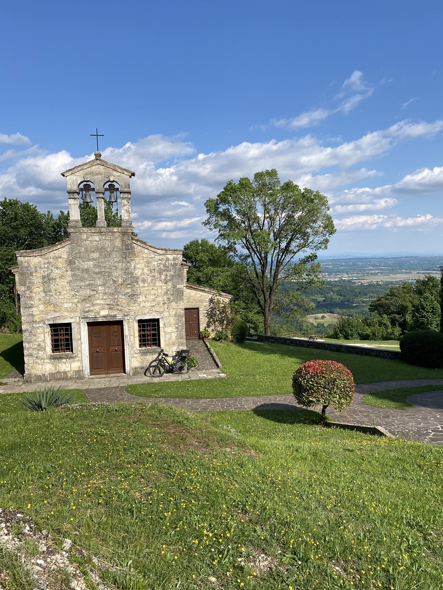
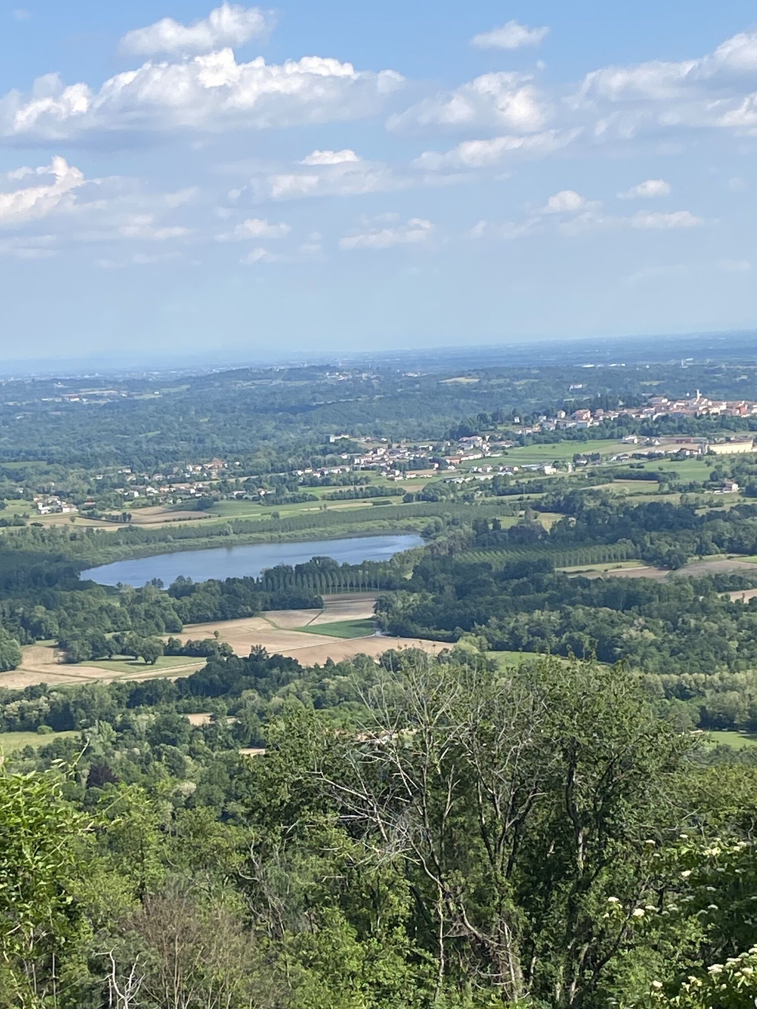
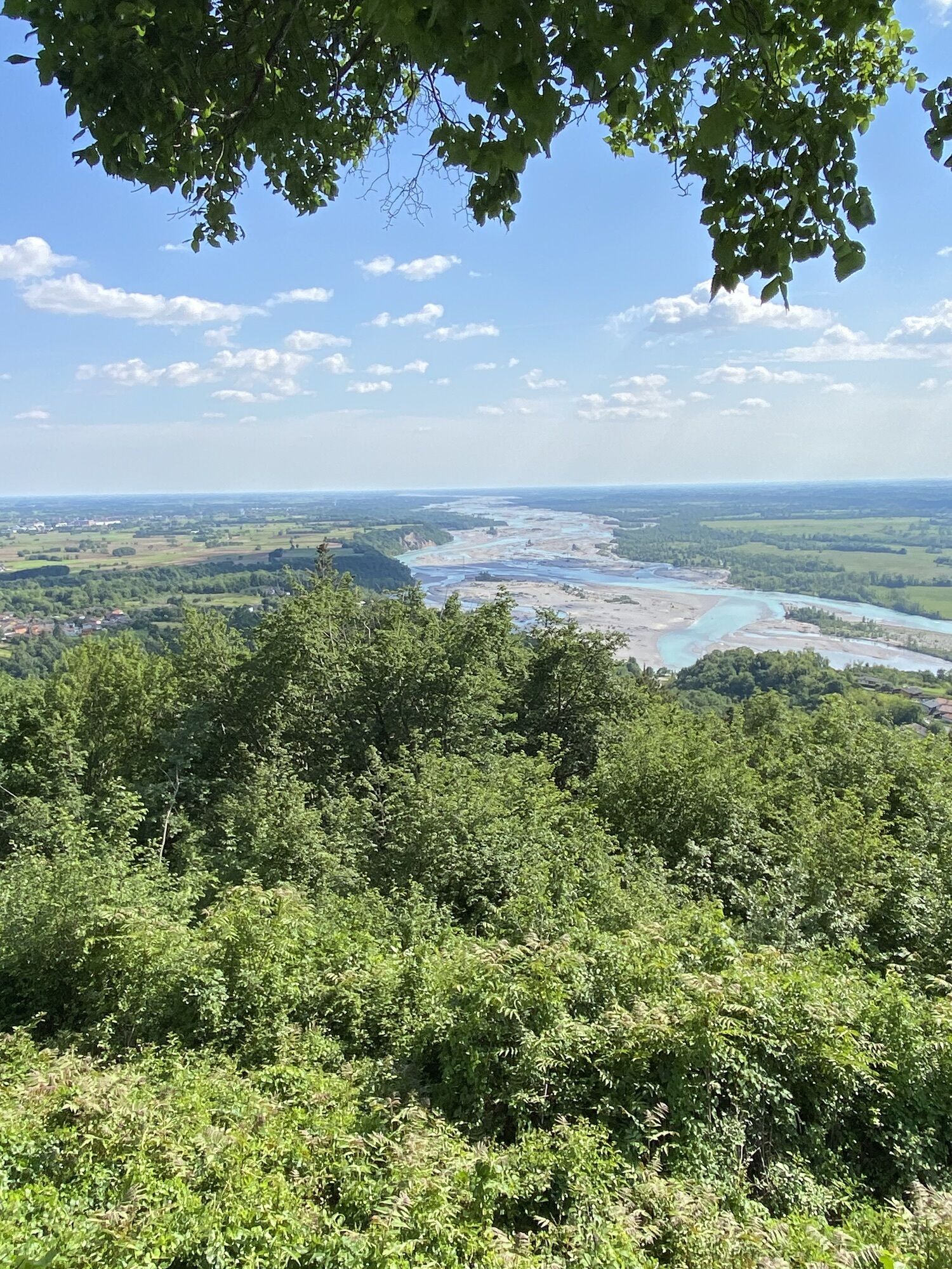
Amazing trails and views towards Tagliamento river and the Friulan Pre-Alps from the “last” mountain on the Alpina Antica Trail
You are actually already in the Italian Alpine foothills on the Alpina Antica...
You are actually already in the Italian Alpine foothills on the Alpina Antica Trail. The first part of this stage is accordingly very relaxed, leading through fields and forests and past the Natura 2000 area of Lago di Ragogna to Muri. Here, however, things become quite spectacular once again: you now climb the ‘last’ summit on your journey towards the Adriatic, namely Monte Ragogna. At 512 metres above sea level, it is by no means a giant, but the views of the Tagliamento and the Friulian Pre-Alps are spectacular. And the trails themselves are also wonderful to hike.

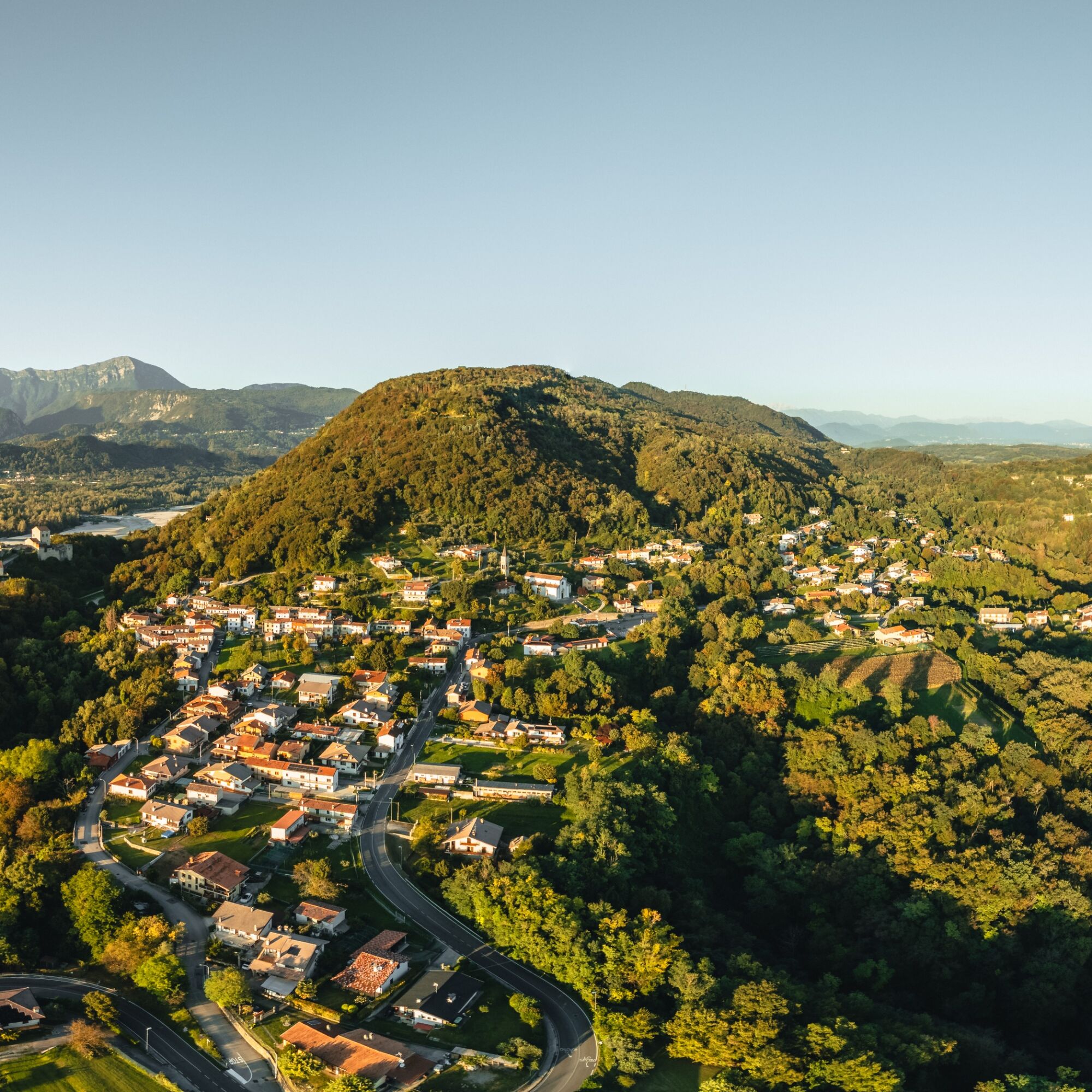

Turn right off the roundabout and after 160 m take the first road on the left behind the church. This is a mountain road leading uphill towards Monte Ragogna and you follow it uphill for a total of 850 metres. After three hairpin bends and a long straight stretch to the right, a hiking trail branches off to the left over the embankment. It shortens three hairpin bends of the mountain road, which you meet again after a few minutes in another hairpin bend. However, you immediately take the hiking trail uphill again, which meets a wider hiking trail after 15 minutes. This will take you back to the mountain road on the right. A few metres up the mountain road to a left-hand bend - but then continue straight ahead along the paved road and then left past the small church of San Giovanni Eremita to a monument. From here, climb a few metres to reach the ridge of Monte Ragogna. Follow hiking trail no. 813 uphill along the ridge past a transmitter mast until you reach a small tarmac road. Continue in the same direction past a former inn to signs for Parco Maria Theresia, which is not open to the general public. Take a short sharp right along the small road and immediately before the fenced-in park turn left downhill along the hiking trail. Follow this path to the west at a constant altitude below the ridge, take the left-hand path uphill at a fork in the path and reach the ridge of Monte Ragogna and the asphalt road again.
Follow the road for 200 metres to the right until a hiking trail branches off straight ahead in a left-hand bend (signposted ‘Punto Panoramico’). The path leads you up and down along the ridge - sometimes very steep on the right below you, but well secured with a handrail - to the Monte Ragogna viewpoint. The view is truly breathtaking: it offers one of the most beautiful views of the Tagliamento and its huge riverbed as well as of the Friulian Pre-Alps.
You have now reached the highest point of your stage: the trail continues in the same direction down over the ridge - a wonderful hiking trail through rustic forests. After a while, you come to a fork in the trail: follow trail no. 813 straight ahead briefly through a meadow and then back through the forest (crossing a small tarmac road once) for quite a while down to the first houses of San Pietro. A tarmac road begins there: walk down it and then turn right along Via Boschit down to the main road of San Pietro. Keeping to the right, you will reach the church of San Pietro in 230 metres and thus your stage destination.
T3
Infórmate
Siempre en directo con más de 9.500 webcams. bergfex Como usuario Pro, ahora puede ver las webcams correspondientes a muchos tours en la app de tours desde. Esto le permite ver las condiciones actuales directamente.
Rutas populares en los alrededores
-
4,8
FVG1 Ciclovía Alpe Adria (C100)
medioCiclismo de larga distancia 179,3 km -
4,7
Tarvisio - Gorizia: de las montañas a los viñedos (TX01)
medioCiclismo de larga distancia 155,8 km -
4,8
Circuito del Monte Cuar
medioSenderismo 7,26 km -
5,0
Venzone - Udine (C102)
medioCiclismo de larga distancia 56,7 km -
FVG3 Ruta ciclista Pedemontana (C300)
pesadoCiclismo de larga distancia 182,0 km -
Circuito del monte de Ragogna
medioSenderismo 11,9 km -
5,0
Anillo de Monte Prat desde Cornino
medioSenderismo 15,2 km -
Anillo de los castillos medievales (R036)
medioCiclismo de larga distancia 61,5 km -
Recorrido Udine - San Daniele (P015)
medioCiclismo de larga distancia 29,5 km -
Circuito de San Daniele del Friuli (R007)
medioCiclismo de larga distancia 31,4 km
Senderismo y rastreo


No se pierda las ofertas y la inspiración para sus próximas vacaciones
Su dirección de correo electrónico se ha añadido a la lista de correo.





