


S 25 Stegersbach Loop


Stegersbach Loop The Stegersbach Loop could easily be called a "forest loop" – as it mostly leads through shady forests, making it ideal for hikes on hot summer days. The starting point is in the center...
Stegersbach Loop The Stegersbach Loop could easily be called a "forest loop" – as it mostly leads through shady forests, making it ideal for hikes on hot summer days. The starting point is in the center of Stegersbach, right next to the bus station. From here, the trail initially leads past rows of houses, the Stegersbach Outlet, the Gloriette, and the Solar One. After a short section along field paths, we reach the entrance to the first forest section. We continue past the model airfield, across the state road, along the electrical substation – and then we enter the second forest section. The trail leads directly past the high ropes course and on to the Pflegersiedlung (caretaker housing estate). Shortly afterward, the view opens up – and we enjoy a beautiful view of the opposite side of the valley with the hotels of Stegersbach. Past the equestrian center, we follow one of the last "Holwege" (rough paths) back towards the center. Soon, the main square welcomes us again with the Antonius Chapel, the town hall, and the castle. After about 11 kilometers, we returned to the starting point – filled with a varied yet soothingly peaceful hike through the green heart of Stegersbach.

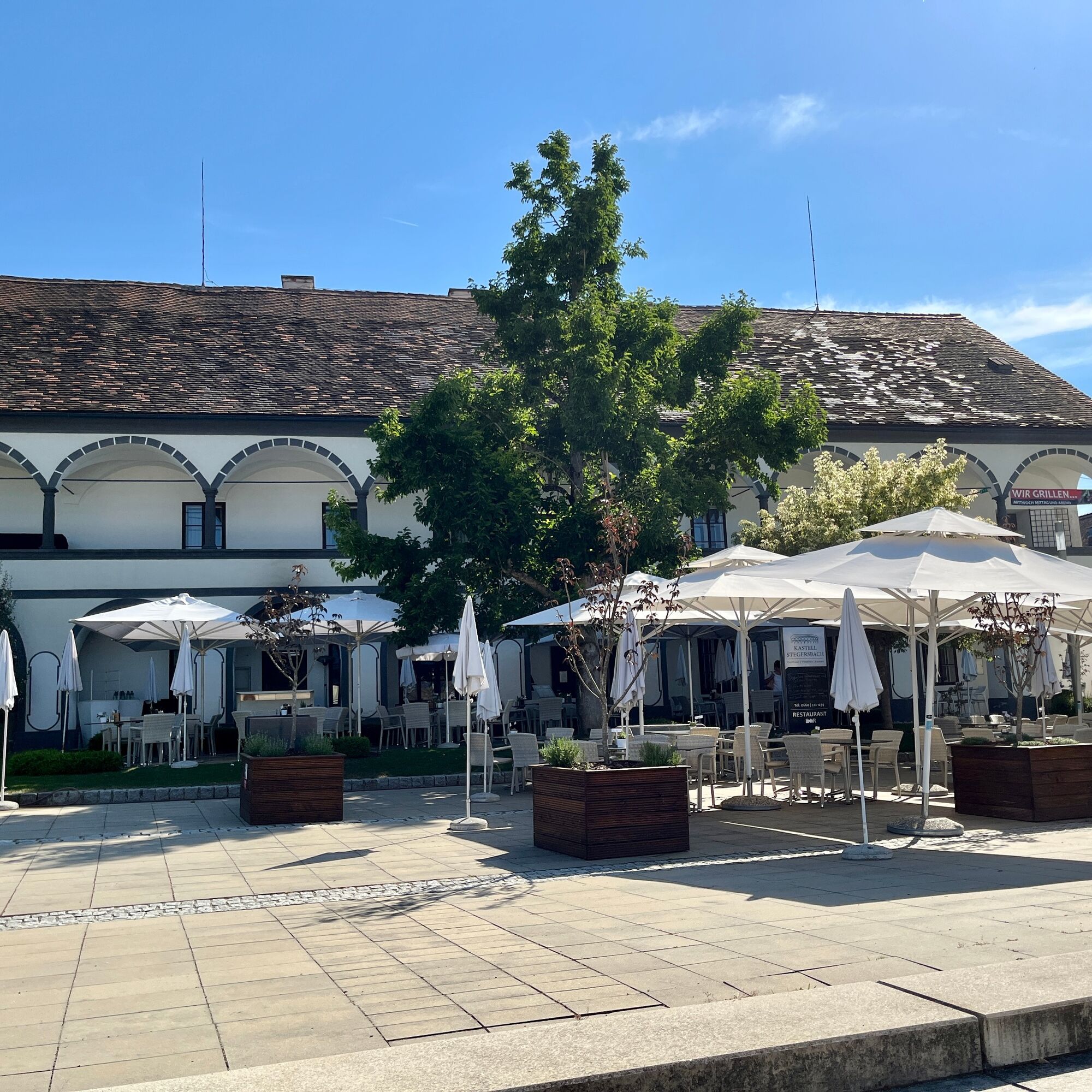
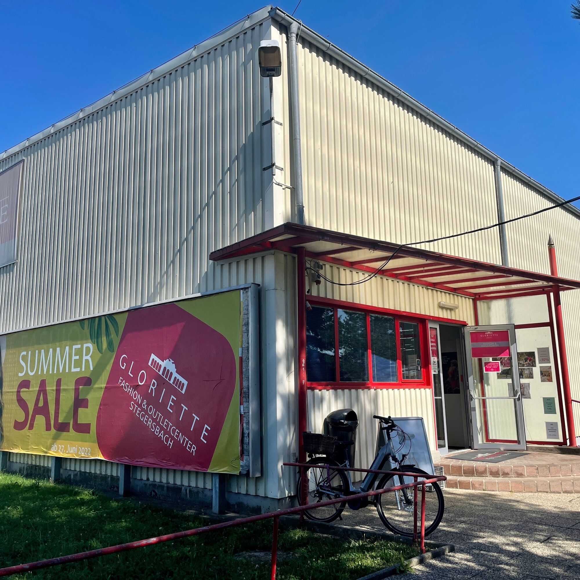

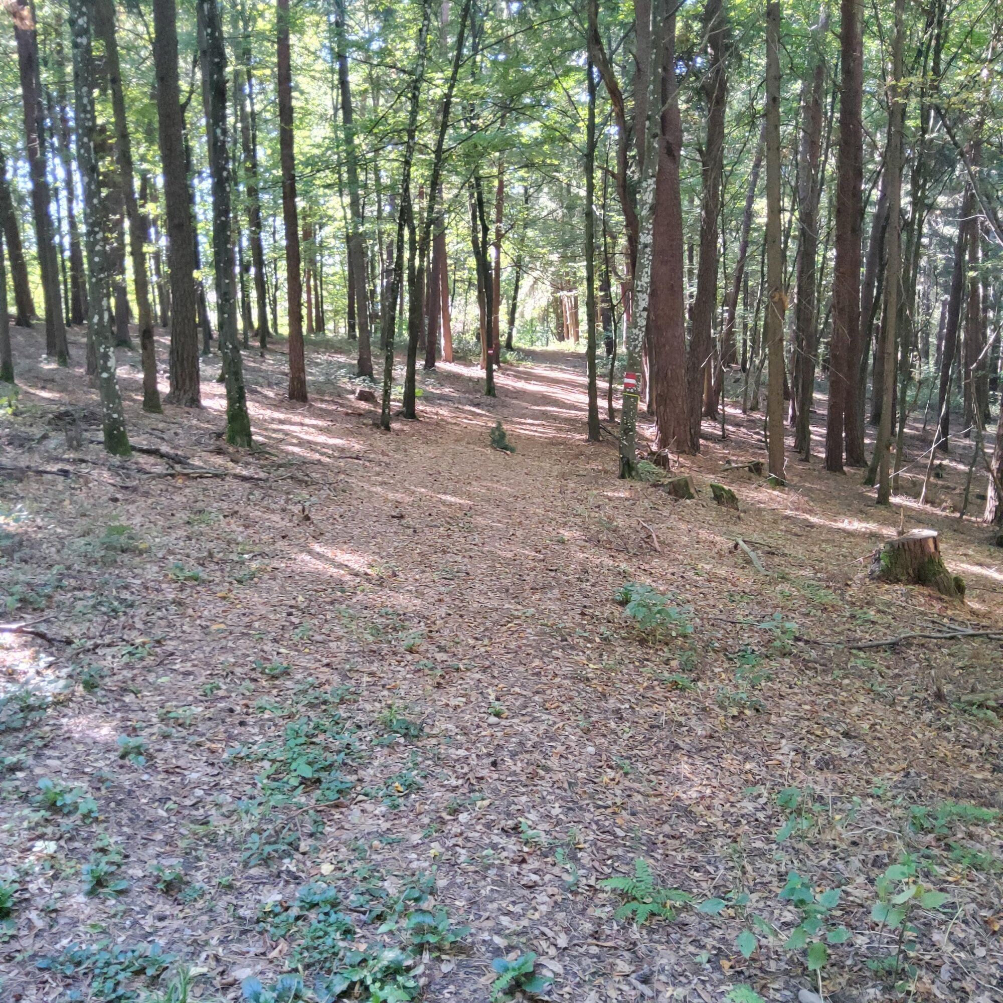


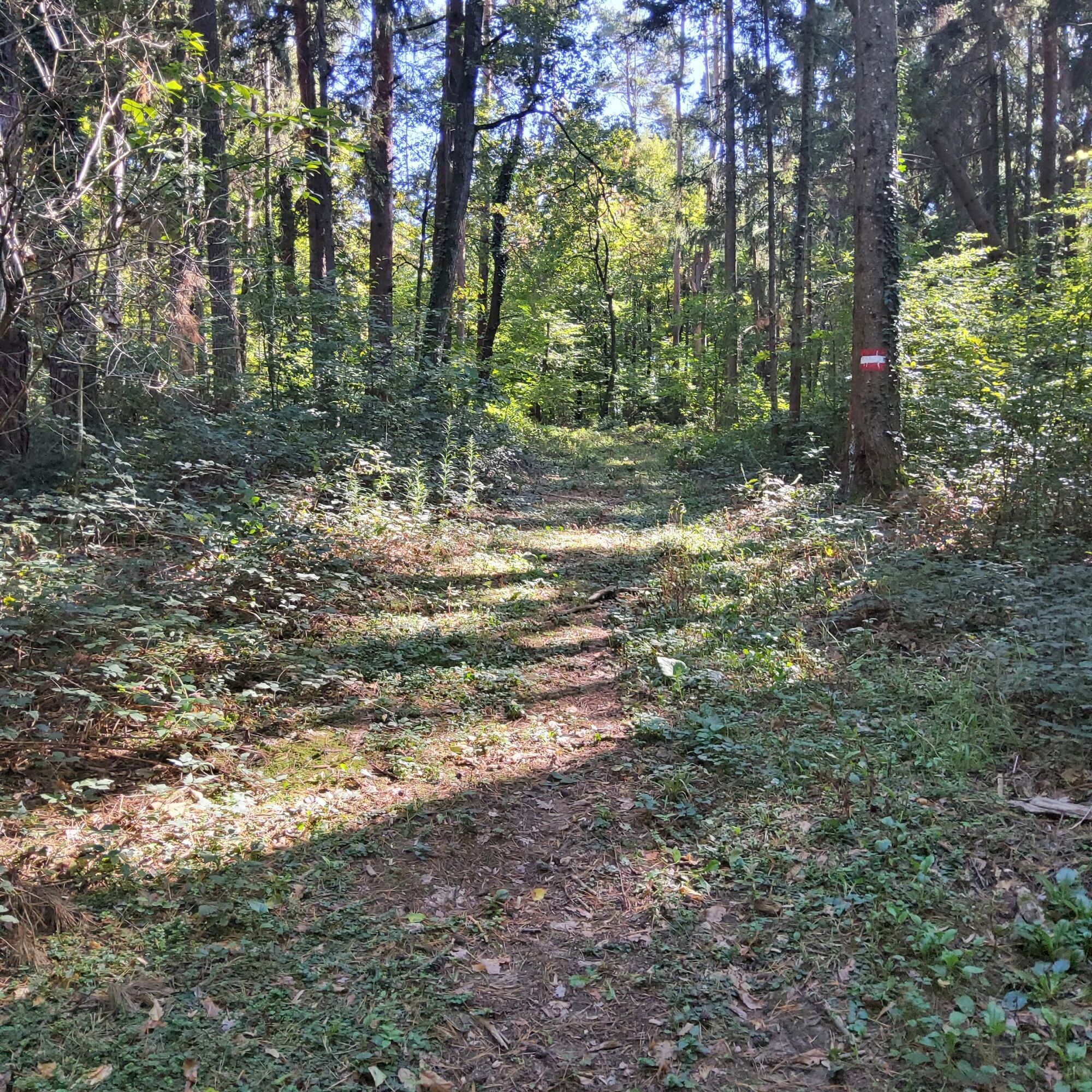
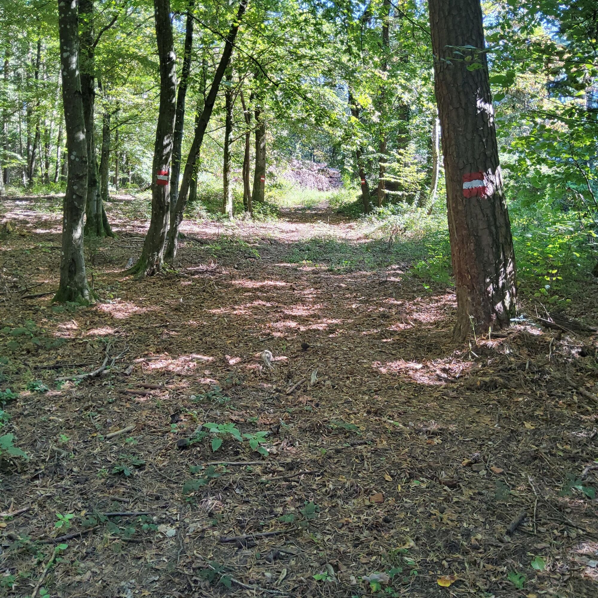
This hiking trail starts in the center of Stegersbach, at the bus station. It passes rows of houses, the Stegersbach Outlet, the Gloriette, and the Solar-One, then briefly follows field paths to the entrance to the first forest section. We pass the model airfield, cross the state road, past the transformer station, and follow the signs into the second forest section. The trail continues directly past the high ropes course to the Pflegersiedlung (caretaker housing estate). Shortly afterward, a fantastic view opens up of the "Thermenhügel" hill opposite, where Stegersbach's wellness hotels are located. Passing the riding center and through one of the last "hollow paths," we reach the center of Stegersbach again. Here, the main square welcomes us with the St. Anthony's Chapel, the town hall, and the castle. We return to the starting point after approximately 11 km.
Sí
Sturdy shoes, weather-appropriate clothing, and plenty of drinking water are recommended. A sun hat and a small snack will make the leisurely hike even more enjoyable.
This tour follows well-maintained paths and is easily accessible in normal weather conditions. Please be mindful of other trail users and observe the road traffic regulations.
Take the B57 from Güssing or Oberwart to Stegersbach. The starting point is right in the center of Stegersbach – at the bus station.
You can find all bus connections for your journey here: Timetable and connections - Verkehrsbetriebe Burgenland
Free parking at the start and end point, the Stegersbach bus station
This leisurely tour showcases Southern Burgenland at its most tranquil. Those who take their time will discover beautiful views and quiet spots along the way. A coffee or ice cream in Stegersbach perfectly rounds off the trip.
Rutas populares en los alrededores
-
3,6
Keltischer Baumkreisweg
medioSenderismo 12,8 km -
3,7
Fantastische Tour in Bad Blumau
medioCiclismo 37,7 km -
5,0
Thermen Rundwanderweg in Bad Waltersdorf
medioSenderismo 17,5 km -
5,0
Burgau: Waldtour
Ciclismo 25,0 km -
4,8
Nat(o)ur in Bad Blumau
luzSenderismo 6,45 km -
4,0
W2 Blumenwanderweg - Bad Waltersdorf
luzSendero temático 7,39 km -
5,0
Thermenradweg R12
medioCiclismo de larga distancia 145,6 km -
5,0
W6 Keltischer-Baumkreis-Weg - Bad Waltersdorf
medioSendero temático 12,7 km -
4,5
Streuobstwiesenradweg B63
medioCiclismo 40,0 km -
4,0
Berglerweg in Bad Waltersdorf
medioSenderismo 8,70 km
Senderismo y rastreo


No se pierda las ofertas y la inspiración para sus próximas vacaciones
Su dirección de correo electrónico se ha añadido a la lista de correo.