





Schwarzenbühl Panorama Trail (SwitzerlandMobility 112)
Together with the groomed winter hiking trails, there are interesting combination options for longer or shorter tours. The trail through the sparse fir forest to the Pfyffe offers a beautiful view of the...
Together with the groomed winter hiking trails, there are interesting combination options for longer or shorter tours. The trail through the sparse fir forest to the Pfyffe offers a beautiful view of the Mittelland or the Bernese and Fribourg Pre-Alps.
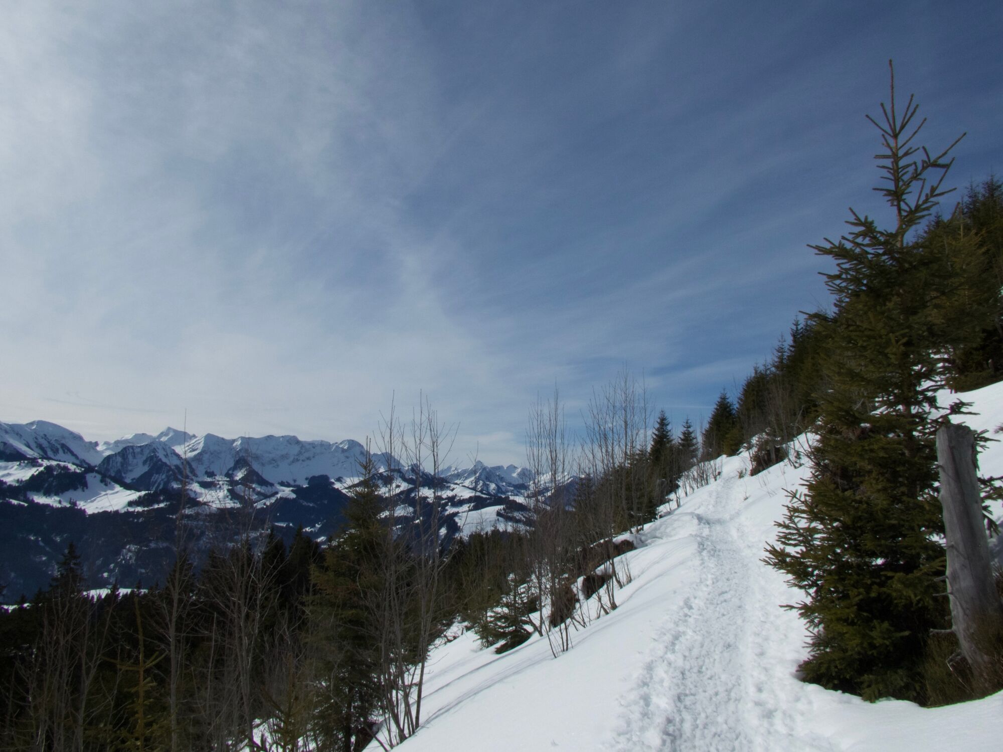
The approach from Schwarzenbühl is the steepest, but also the most direct, and leads up to the ridge directly opposite the restaurant. The path then follows the ridge for a short distance towards Pfyffe. Soon you have to decide which side of the Pfyffe you want to climb from. The panoramic trail on the south side of the Pfyffe leads through the sparse fir forest that was damaged by storm Lothar in 1999. The view is therefore mostly open - and unique. The highest point, the Pfyffe - and also the highlight of the tour - is reached from the west. The mountains of the Gantrisch chain seem close enough to touch: Gantrisch, Bürglen, Ochsen. Further in the distance are the Stockhorn range and the snow-capped mountains of the Bernese Oberland. A panorama board provides information about the heights of the surrounding peaks. Time to sit down, rest and linger. There is a table and a barbecue area with wood storage available. Between Pfyffe and Gägger, a permitted but unmarked snowshoe route branches off into the northern flank, which leads in safe conditions towards Inberg and then directly to Schwarzenbühl. On the marked way back from the Pfyffe, the trail makes another loop through the Lothar Sturmholz area, thanks to which the peaks of the Gantrisch range remain mostly visible. The marked trail is not only accessible via the direct approach from Schwarzenbühl as described, but also from the Ottenleuebad car park or from the Selital via the winter hiking trail from the mountain hut.




The trail can be reached via the access routes:
from Schwarzenbühl, 400 m and 110 metres in altitude from the Ottenleuenbad, 1.5 km and 190 metres in altitude from the refuge, 700 m and 50 metres in altitudeEquipment hire
Selital mountain hut Schwarzenbühl Kurhaus (self-service at the cross-country ski hire)Rüschegg Schwarzenbühl, Kurhaus SBB timetable
Schwarzenbühl car park
Alternative: Ottenleuenbad and Selital car parks
Arrival
Infórmate
Siempre en directo con más de 9.500 webcams. bergfex Como usuario Pro, ahora puede ver las webcams correspondientes a muchos tours en la app de tours desde. Esto le permite ver las condiciones actuales directamente.
Rutas populares en los alrededores
-
4,5
Excursión a la cumbre Gantrisch, 2176 m.s.n.m
medioSenderismo 9,13 km -
4,8
Wasserscheide - Gantrisch Seeli
luzSenderismo 9,33 km -
4,0
Excursión de altura Gurnigel - Stockhorn
medioSenderismo 11,2 km -
3,6
Camino panorámico Breccaschlund (Schweiz Mobil 267)
medioSenderismo 12,9 km -
5,0
Lake Schwarzsee circular route (SwitzerlandMobility 787)
luzSenderismo de invierno 4,10 km -
4,7
Schwarzsee-Rundgang Häxewääg
luzSendero temático 4,10 km -
4,7
Excursión a la cumbre de Ochsen, 2188 m.s.n.m.
medioSenderismo 7,94 km -
Patraflon & Schopfenspitz
medioSenderismo 15,1 km -
Riggisalp-Brecca-Schwarzsee Gypsera
medioSenderismo 10,1 km -
Schwarzsee - Patraflon - Pointe de Balachaux - Schopfenspitz - Combi - Stierenberg - Schwarzsee
medioSenderismo 14,8 km

Senderismo y rastreo


No se pierda las ofertas y la inspiración para sus próximas vacaciones
Su dirección de correo electrónico se ha añadido a la lista de correo.





