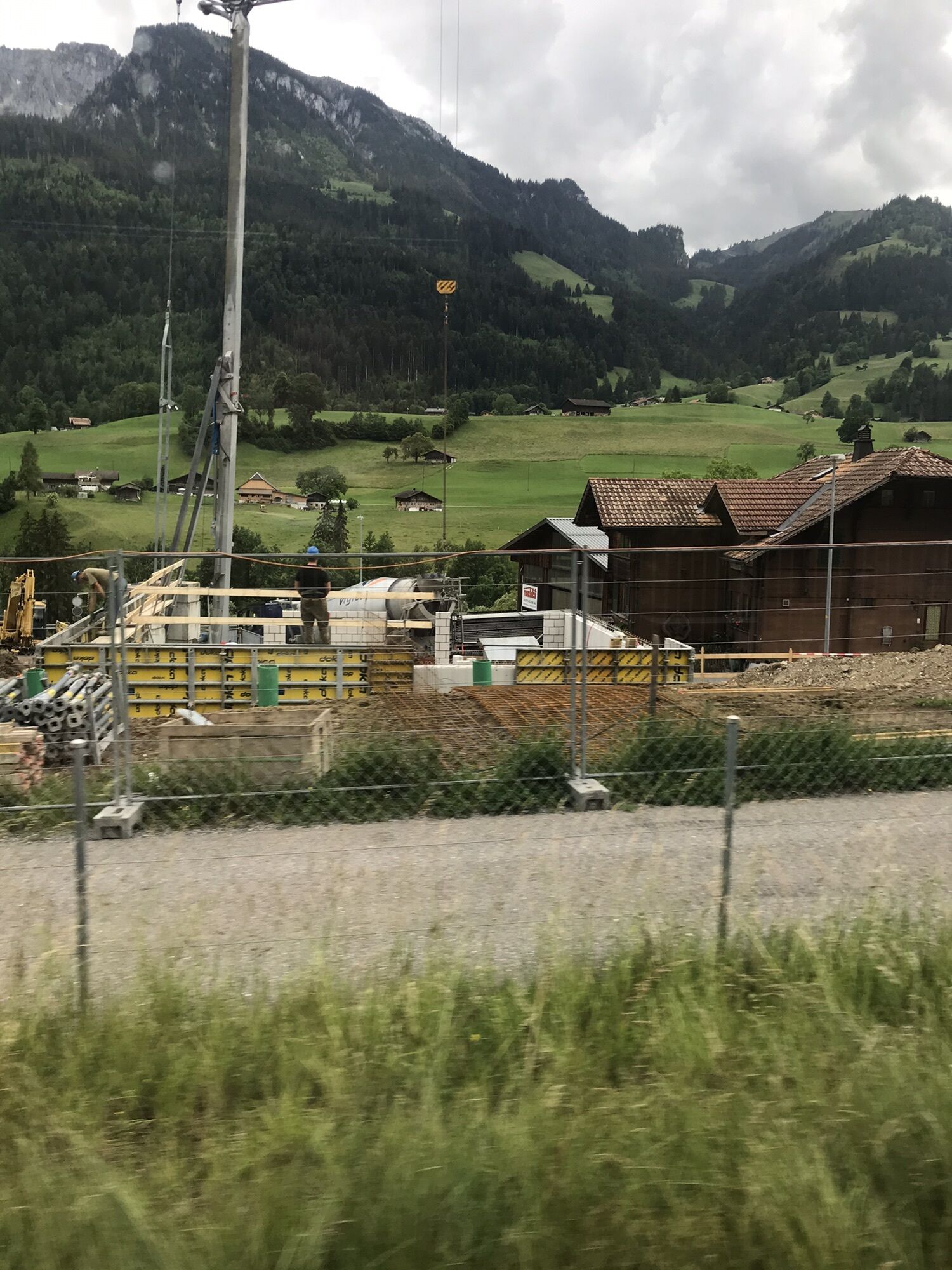
Oberwil - Bahnhof - Oberwil im Simmental - Bunschen
medio
Consigue este tour en tu móvil
Oberwil - Bahnhof - Oberwil im Simmental - Bunschen
medio
Ciclismo de carrera
36,59
km
Escanee el código QR e inicie la navegación en la aplicación bergfex

Senderismo y rastreo


Oberwil - Bahnhof - Oberwil im Simmental - Bunschen
medio
Distancia
36,59
km
Duración
02:00
h
Ascenso
468
m
Nivel del mar
611 -
853
m
Descarga de pistas
Oberwil - Bahnhof - Oberwil im Simmental - Bunschen
medio
Ciclismo de carrera
36,59
km
Ruta
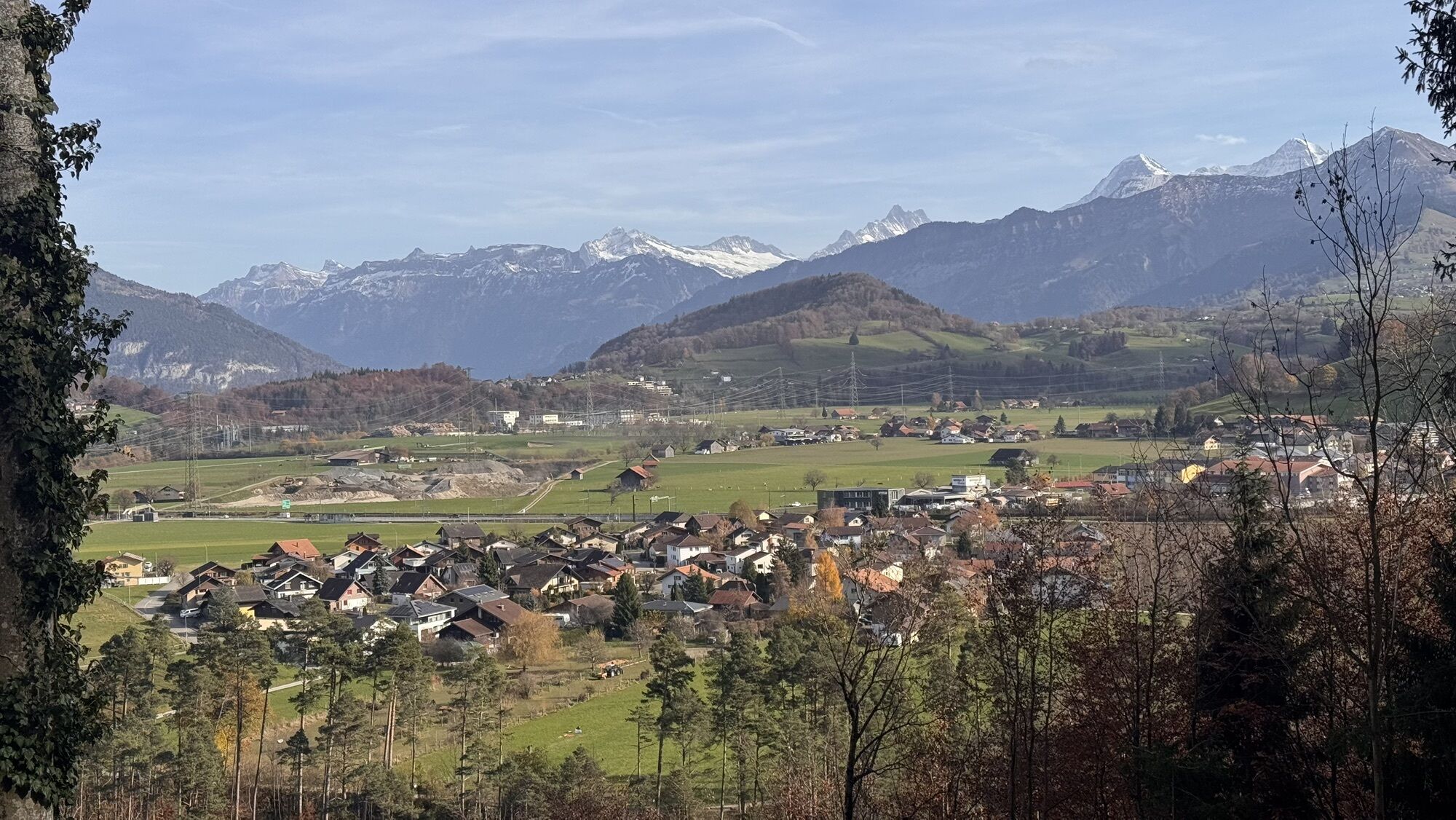
Oberwil im Simmental
(850 m)
Pueblo
0,1 km
Friberig
(764 m)
Liquidación
3,9 km
Reichenbachmatte
(757 m)
Barrio
4,3 km
Ringoldingen
(749 m)
Liquidación
7,3 km
Thoracker
(742 m)
Barrio
8,8 km
Latterbach
(700 m)
Pueblo
11,6 km
Oey
(669 m)
Pueblo
12,1 km
Ruta
Oberwil - Bahnhof - Oberwil im Simmental - Bunschen
medio
Ciclismo de carrera
36,59
km
Oberwil
(837 m)
Estación de ferrocarril
0,0 km
Bahnhof
(840 m)
Restaurante
0,0 km
Beim Bahnhof
(837 m)
Corredor/terreno
0,0 km
Oberwil im Simmental
(850 m)
Pueblo
0,1 km
Hübeli
(838 m)
Corredor/terreno
0,2 km
Karoline
(845 m)
Corredor/terreno
0,3 km
Mösli
(812 m)
Corredor/terreno
0,8 km
Weissenstalden
(828 m)
Corredor/terreno
1,2 km
Büel
(857 m)
Corredor/terreno
1,3 km
Lehn
(861 m)
Corredor/terreno
1,6 km
Bunschen
(862 m)
Liquidación
1,9 km
Krauchtal
(810 m)
Corredor/terreno
2,1 km
Oberdorf
(751 m)
Corredor/terreno
3,2 km
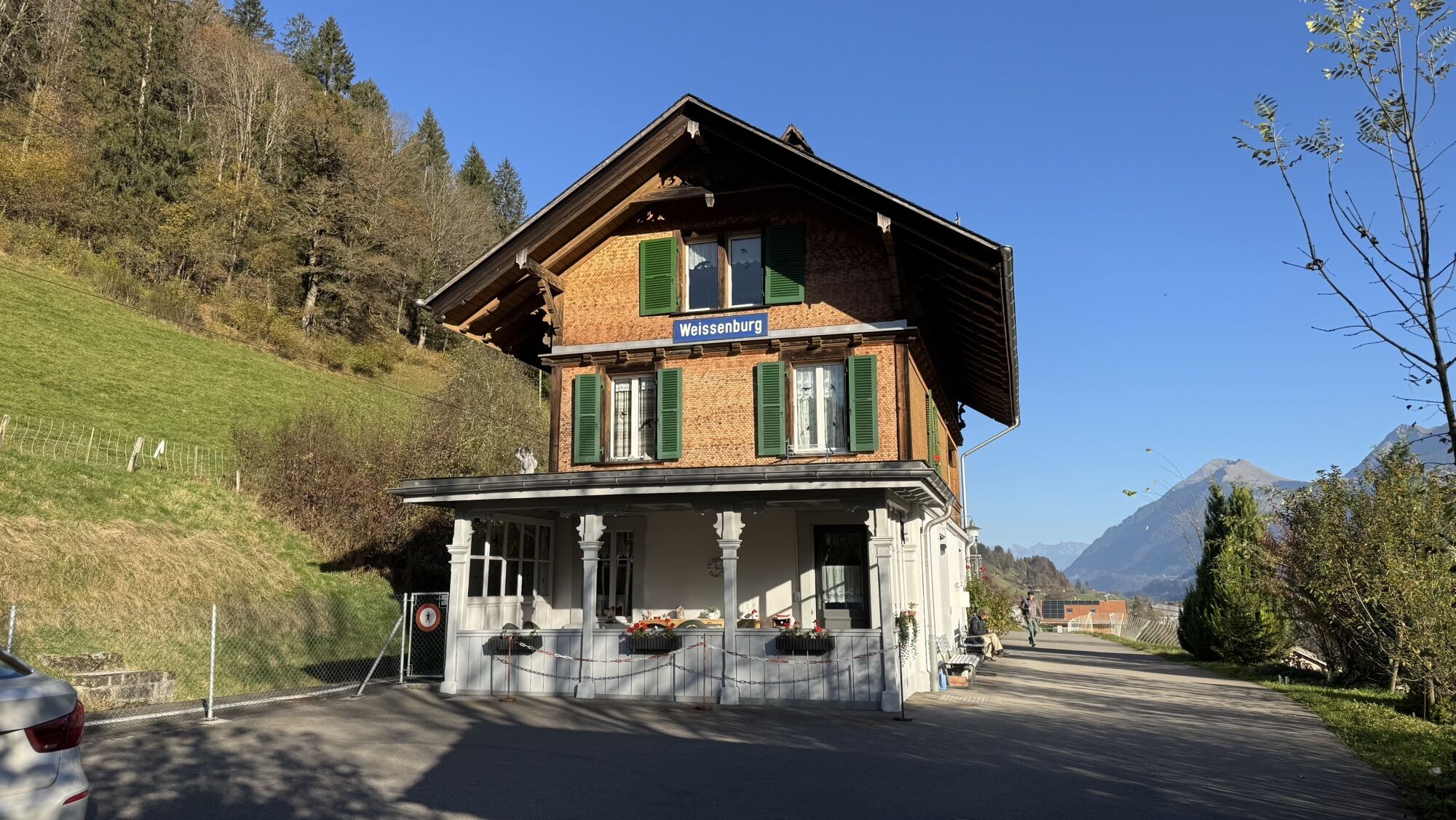
Weissenburg
(743 m)
Pueblo
3,2 km
Doktorhaus
(741 m)
Corredor/terreno
3,2 km
Dorf
(741 m)
Corredor/terreno
3,3 km
Alte Post
(742 m)
Corredor/terreno
3,3 km
Stalden
(756 m)
Corredor/terreno
3,5 km
Friberig
(764 m)
Liquidación
3,9 km
Grabenmatte
(799 m)
Barrio
4,1 km
Reichenbachmatte
(757 m)
Barrio
4,3 km
Richenbach
(784 m)
Liquidación
4,3 km
Kehlstadtmatte
(758 m)
Corredor/terreno
4,6 km
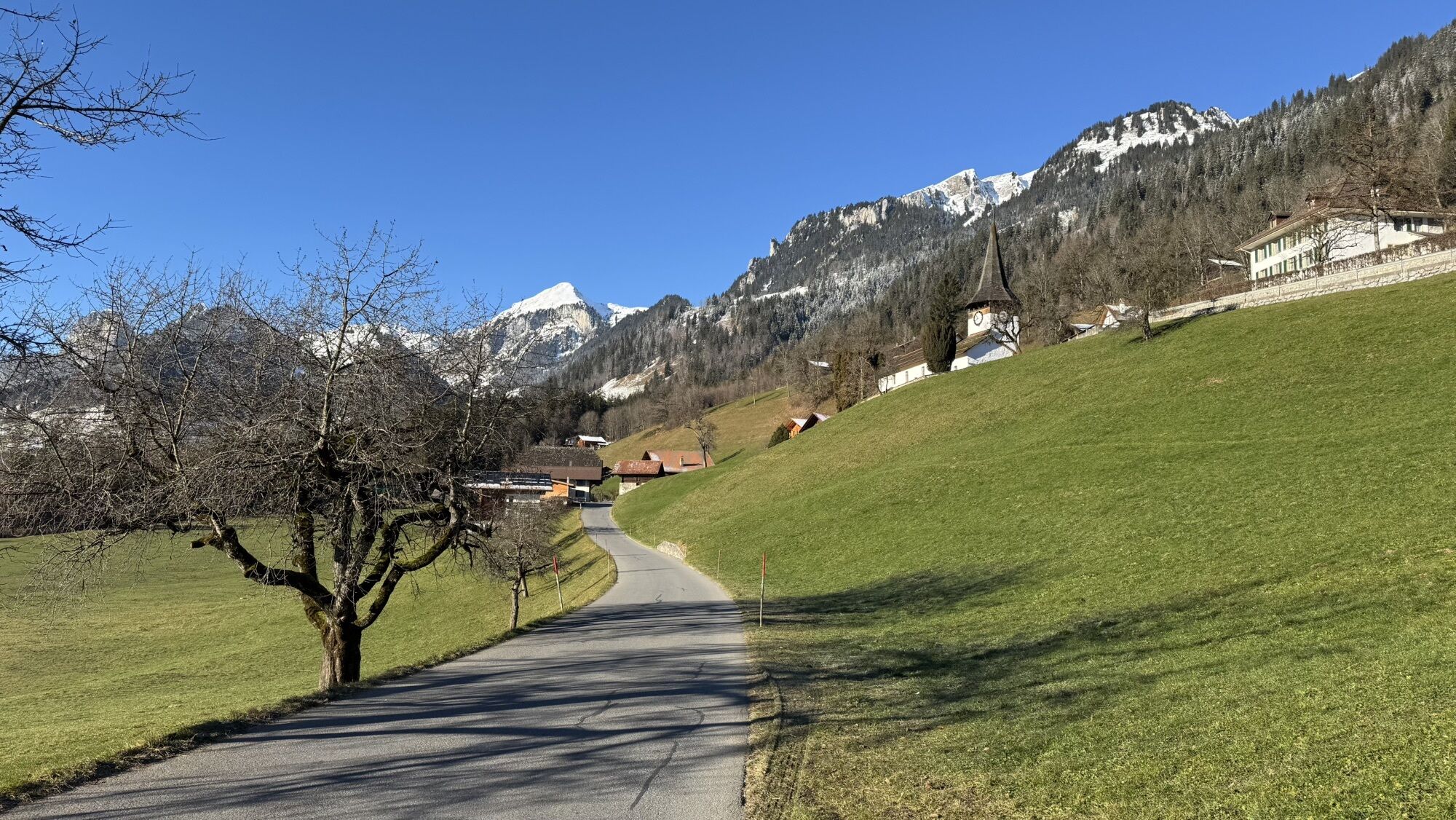
Därstetten
(765 m)
Pueblo
4,6 km
Lochmatte
(755 m)
Corredor/terreno
4,7 km
Bären
(758 m)
Restaurante
4,7 km
Restaurant Bahnhof
(757 m)
Corredor/terreno
4,8 km
Därstetten
(758 m)
Estación de ferrocarril
4,9 km
Hasli
(789 m)
Liquidación
5,0 km
Baumgärtli
(760 m)
Corredor/terreno
5,0 km
Hüseli
(749 m)
Barrio
5,1 km
Haslimatte
(759 m)
Corredor/terreno
5,2 km
Bühl
(756 m)
Corredor/terreno
5,3 km
Rohracker
(752 m)
Corredor/terreno
5,6 km
Wilermatte
(739 m)
Corredor/terreno
5,7 km
Wiler
(732 m)
Liquidación
5,8 km
Jäger
(741 m)
Restaurante
7,2 km
Ringoldingen
(749 m)
Liquidación
7,3 km
Hüttacker
(735 m)
Corredor/terreno
7,4 km
Stapfackerweid
(736 m)
Corredor/terreno
7,7 km
Bächenmattli
(733 m)
Corredor/terreno
8,3 km
Acherli
(713 m)
Corredor/terreno
8,7 km
Thoracker
(742 m)
Barrio
8,8 km
Chlidorf Beizli
(721 m)
Restaurante
9,0 km
Grube
(714 m)
Corredor/terreno
9,0 km
Pulvermatte
(739 m)
Barrio
9,0 km
Oberdorf
(753 m)
Barrio
9,1 km
Kleindorf
(721 m)
Barrio
9,1 km
Weiermatte
(702 m)
Corredor/terreno
9,2 km
Platz
(716 m)
Corredor/terreno
9,3 km
Farb
(704 m)
Corredor/terreno
9,5 km
Erlenbach im Simmental
(722 m)
Pueblo
9,5 km
Linde
(710 m)
Corredor/terreno
9,5 km
Raiffeisenhaus
(702 m)
Corredor/terreno
9,6 km
Drogerie
(709 m)
Corredor/terreno
9,6 km
Kastel
(711 m)
Corredor/terreno
11,1 km
Bären
(705 m)
Corredor/terreno
11,5 km
Latterbach
(700 m)
Pueblo
11,6 km
Gasthof Adler
(701 m)
Restaurante
11,6 km
Adler
(699 m)
Corredor/terreno
11,6 km
Bei der Oeybrücke
(667 m)
Corredor/terreno
11,8 km
Sternen
(669 m)
Restaurante
12,1 km
Oey
(669 m)
Pueblo
12,1 km
Bahnhof
(670 m)
Restaurante
12,1 km
Oey-Diemtigen
(670 m)
Estación de ferrocarril
12,2 km
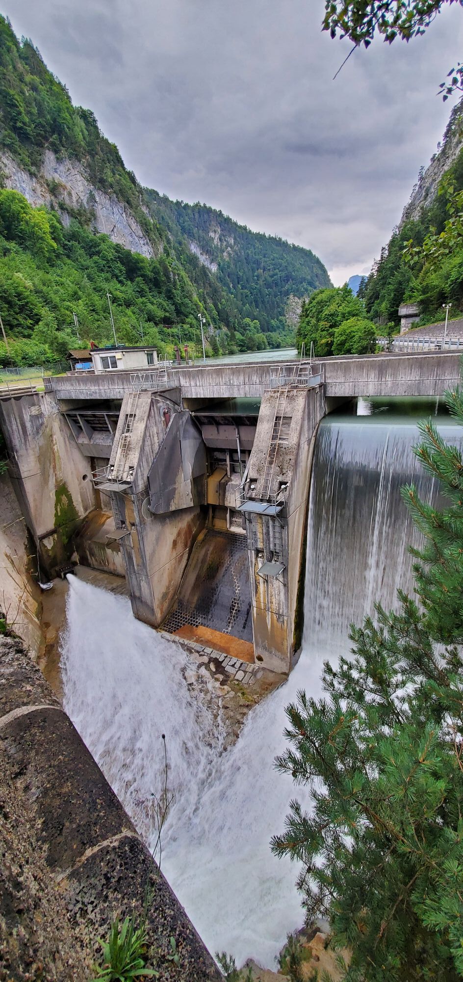
Port
(630 m)
Corredor/terreno
16,2 km
Wimmis
(645 m)
Pueblo
17,0 km
Hotel Löwen
(636 m)
Restaurante
17,3 km
Gasthof Kreuz
(635 m)
Restaurante
17,5 km
Onkel Thoms Schnitzelscheune
(625 m)
Restaurante
20,4 km
Brünnlisau
(642 m)
Corredor/terreno
22,5 km
Ausserlatterbach
(672 m)
Corredor/terreno
23,3 km
Nagelfluh
(653 m)
Corredor/terreno
23,6 km
Stutzweidli
(688 m)
Corredor/terreno
23,8 km
Bruni
(673 m)
Corredor/terreno
24,2 km
Stalden
(675 m)
Liquidación
24,4 km
Hof
(683 m)
Corredor/terreno
24,4 km
Schluecht
(687 m)
Corredor/terreno
24,9 km
Adler
(699 m)
Corredor/terreno
24,9 km
Gasthof Adler
(701 m)
Restaurante
24,9 km
Latterbach
(700 m)
Pueblo
25,0 km
Bären
(705 m)
Corredor/terreno
25,0 km
Oey
(669 m)
Pueblo
25,3 km
Kastel
(711 m)
Corredor/terreno
25,4 km
Raiffeisenhaus
(702 m)
Corredor/terreno
26,9 km
Linde
(710 m)
Corredor/terreno
26,9 km
Drogerie
(709 m)
Corredor/terreno
26,9 km
Farb
(704 m)
Corredor/terreno
27,0 km
Erlenbach im Simmental
(722 m)
Pueblo
27,0 km
Platz
(716 m)
Corredor/terreno
27,2 km
Weiermatte
(702 m)
Corredor/terreno
27,3 km
Oberdorf
(753 m)
Barrio
27,4 km
Pulvermatte
(739 m)
Barrio
27,4 km
Kleindorf
(721 m)
Barrio
27,5 km
Grube
(714 m)
Corredor/terreno
27,5 km
Chlidorf Beizli
(721 m)
Restaurante
27,5 km
Thoracker
(742 m)
Barrio
27,6 km
Acherli
(713 m)
Corredor/terreno
27,8 km
Bächenmattli
(733 m)
Corredor/terreno
28,2 km
Stapfackerweid
(736 m)
Corredor/terreno
28,8 km
Hüttacker
(735 m)
Corredor/terreno
29,1 km
Ringoldingen
(749 m)
Liquidación
29,3 km
Jäger
(741 m)
Restaurante
29,3 km
Wiler
(732 m)
Liquidación
30,6 km
Rohracker
(752 m)
Corredor/terreno
30,7 km
Wilermatte
(739 m)
Corredor/terreno
30,8 km
Bühl
(756 m)
Corredor/terreno
31,2 km
Haslimatte
(759 m)
Corredor/terreno
31,4 km
Hüseli
(749 m)
Barrio
31,5 km
Baumgärtli
(760 m)
Corredor/terreno
31,5 km
Hasli
(789 m)
Liquidación
31,5 km
Restaurant Bahnhof
(757 m)
Corredor/terreno
31,6 km
Därstetten
(758 m)
Estación de ferrocarril
31,6 km
Bären
(758 m)
Restaurante
31,8 km
Lochmatte
(755 m)
Corredor/terreno
31,8 km
Kehlstadtmatte
(758 m)
Corredor/terreno
31,9 km
Därstetten
(765 m)
Pueblo
31,9 km
Richenbach
(784 m)
Liquidación
32,2 km
Reichenbachmatte
(757 m)
Barrio
32,3 km
Grabenmatte
(799 m)
Barrio
32,4 km
Friberig
(764 m)
Liquidación
32,6 km
Stalden
(756 m)
Corredor/terreno
33,0 km
Alte Post
(742 m)
Corredor/terreno
33,3 km
Dorf
(741 m)
Corredor/terreno
33,3 km
Weissenburg
(743 m)
Pueblo
33,3 km
Doktorhaus
(741 m)
Corredor/terreno
33,3 km
Oberdorf
(751 m)
Corredor/terreno
33,4 km
Krauchtal
(810 m)
Corredor/terreno
34,4 km
Bunschen
(862 m)
Liquidación
34,6 km
Lehn
(861 m)
Corredor/terreno
34,9 km
Büel
(857 m)
Corredor/terreno
35,2 km
Weissenstalden
(828 m)
Corredor/terreno
35,3 km
Mösli
(812 m)
Corredor/terreno
35,7 km
Karoline
(845 m)
Corredor/terreno
36,3 km
Hübeli
(838 m)
Corredor/terreno
36,3 km
Oberwil im Simmental
(850 m)
Pueblo
36,4 km
Beim Bahnhof
(837 m)
Corredor/terreno
36,5 km
Bahnhof
(840 m)
Restaurante
36,5 km
Oberwil
(837 m)
Estación de ferrocarril
36,6 km
Autor
Proporcionado por Bergfex Tour Generator
Compartir gira
Oberwil - Bahnhof - Oberwil im Simmental - Bunschen
medio
Ciclismo de carrera
36,59
km
Error
Se ha producido un error. Por favor, inténtelo de nuevo.
Aún no hay opiniones
Rutas populares en los alrededores
-
4,7
Mülenen - Glogghore - Niesen - Niesen Kulm
pesadoSenderismo 7,86 km -
4,6
Excursión a la cumbre Gantrisch, 2176 m.s.n.m
medioSenderismo 9,13 km -
4,8
Wasserscheide - Gantrisch Seeli
luzSenderismo 9,33 km -
4,0
Excursión de altura Gurnigel - Stockhorn
medioSenderismo 11,2 km -
4,7
Caminata a la cima del Ochsen, 2188 m s.n.m.
medioSenderismo 7,94 km -
4,6
Chartreuse - Thun - Hünibach - Goldiwil
medioSenderismo 12,3 km -
5,0
Niesen
medioSenderismo de montaña 5,21 km -
4,5
Rauflihore
luzEsquí de travesía 6,24 km -
Von Gasebode auf den Stand (Diemtigtal)
luzEsquí de travesía 9 km -
4,0
Excursión circular Fuente de la Gürbe
medioSenderismo 8,24 km
Senderismo y rastreo

Más de 550.000 sugerencias de excursiones, mapas detallados y un intuitivo planificador de rutas hacen de esta aplicación una herramienta imprescindible para todos los amantes de la naturaleza.

No se pierda las ofertas y la inspiración para sus próximas vacaciones
Suscribirse al boletín de noticias
Error
Se ha producido un error. Por favor, inténtelo de nuevo.
Gracias por inscribirse
Su dirección de correo electrónico se ha añadido a la lista de correo.
Viajes por Europa
Austria
Suiza
Alemania
Italia
Eslovenia
Francia
Países Bajos
Belgium
Polonia
Liechtenstein
República Checa
Slovakia
España
Croacia
Bosnia y Herzegovina
Luxemburgo
Andorra
Portugal
Iceland
United Kingdom
Ireland
Greece
Albania
North Macedonia
Malta
Norway
Montenegro
Moldova
Kosovo
Hungary
San Marino
Romania
Estonia
Latvia
Belarus
Cyprus
Lithuania
Serbia
Bulgaria
Monaco
Denmark
Sweden
Finland