


Tour to the Valley of the 72 Waterfalls
Fotos de nuestros usuarios
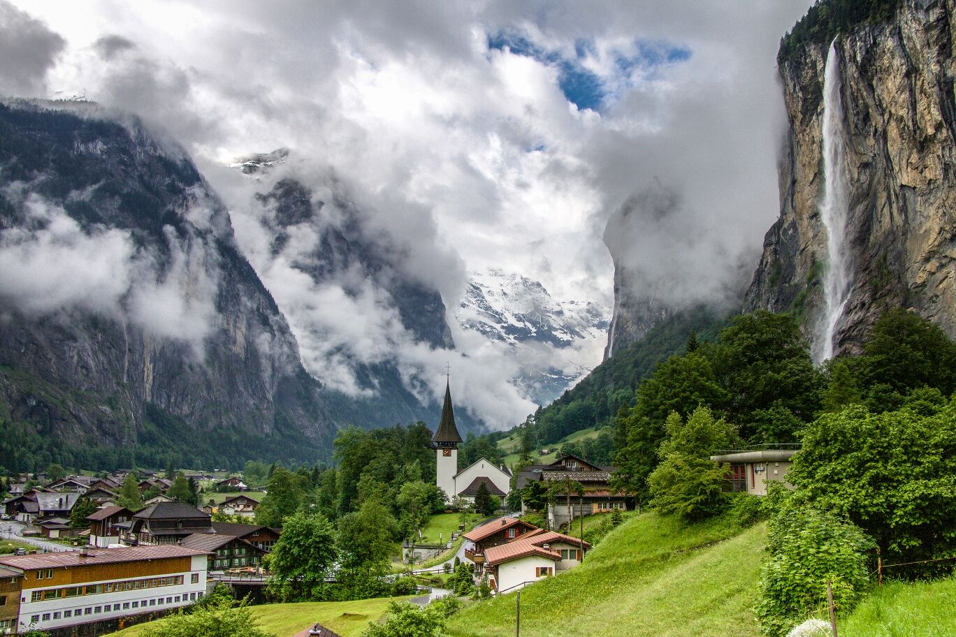
This tour leads from Interlaken West railway station via the Rugen hill to the village of Wilderswil. At the church, you will cross a charming wooden bridge before taking on the challenging ascent to Gsteigwiler....
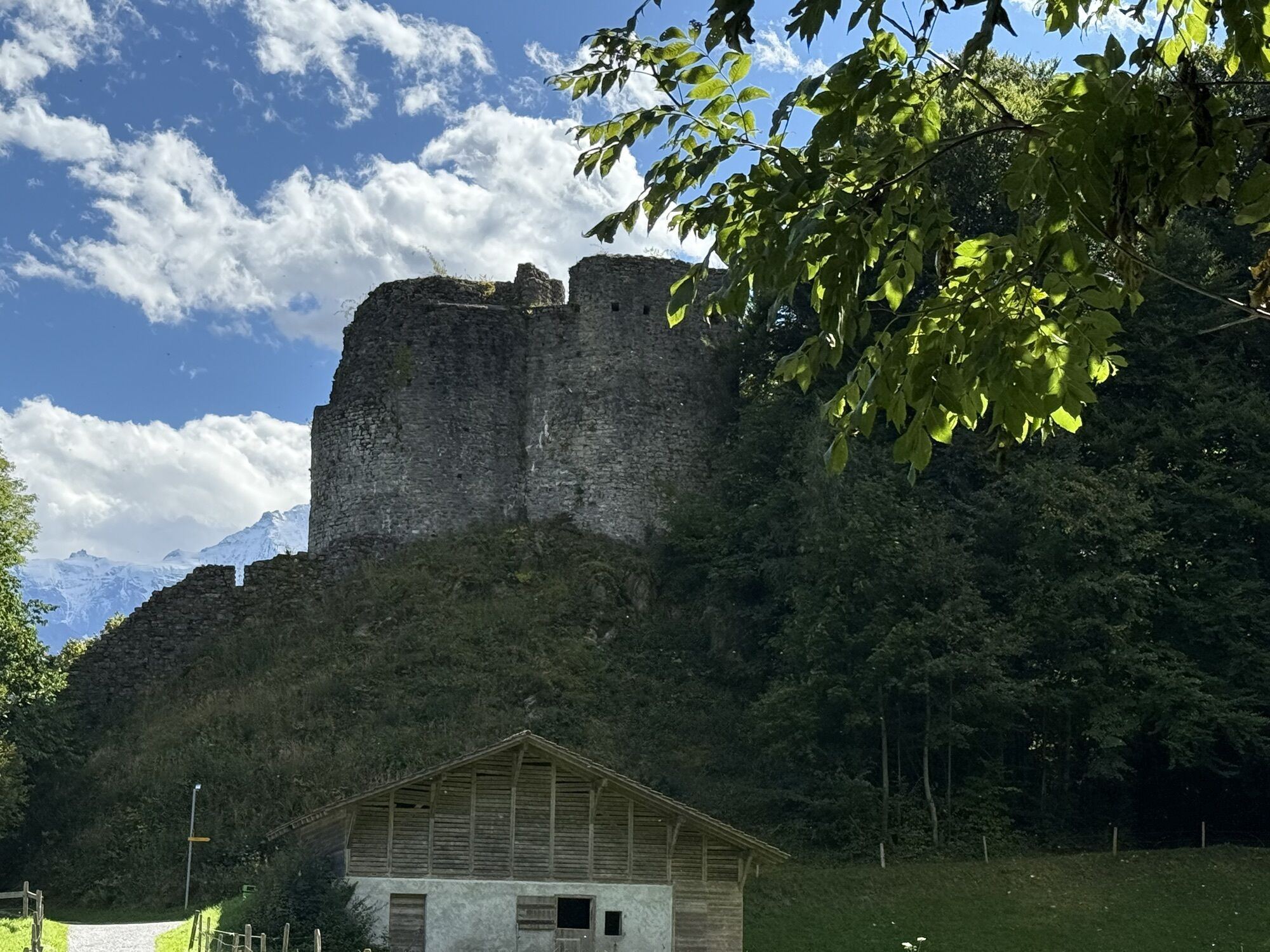
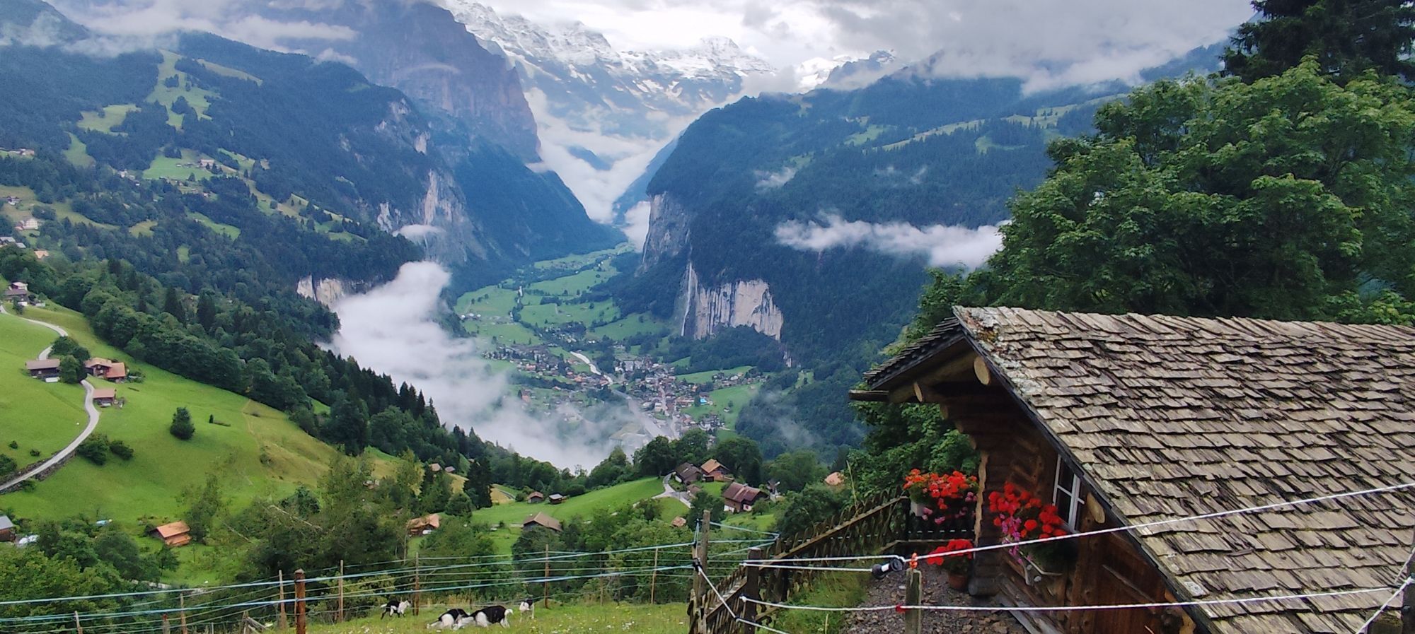
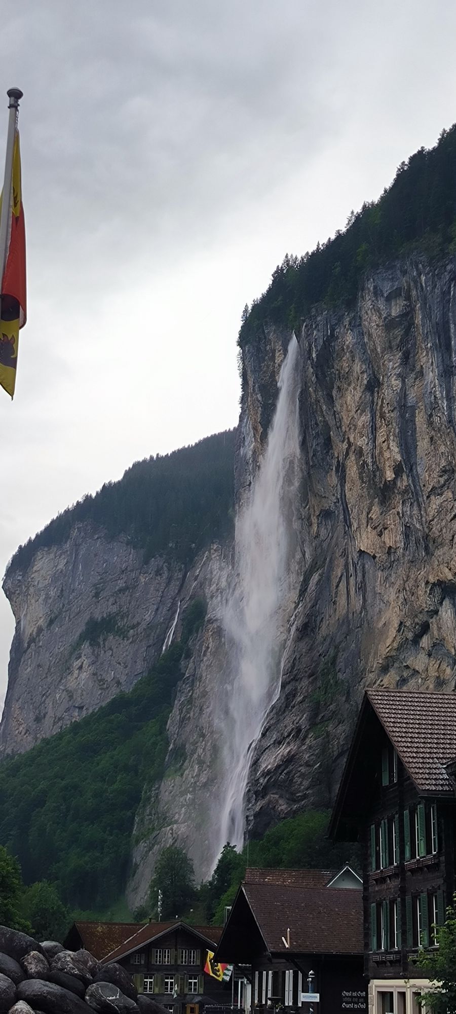
This tour leads from Interlaken West railway station via the Rugen hill to the village of Wilderswil. At the church, you will cross a charming wooden bridge before taking on the challenging ascent to Gsteigwiler. From here the route continues mainly on unsurfaced roads. Ride along the Lütschine river, through shaded forests and lush meadows to the enchanting Valley of the 72 Waterfalls. This varied route has something for everyone – gentle ascents, flat sections and different surfaces. Once you arrive in Lauterbrunnen, take the time to admire the magnificent Staubbach waterfalls and the surrounding mountain scenery. Round off your tour with relaxing picnic or, a few minutes down the road, a visit to the roaring Trümmelbach Falls. Your tour to Lauterbrunnen assures a memorable experience, crowned by a refreshing descent back to Interlaken.
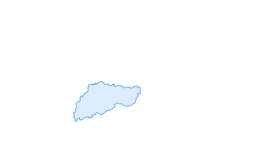
Interlaken - Wilderswil - Gsteigwiler - Zweilütschinen - Lauterbrunnen und retour
Rutas populares en los alrededores
-
3,6
Sieben Hengste
pesadoSenderismo 13,7 km -
3,8
Öpfelchüechliweg
luzSenderismo 4,70 km -
5,0
Schynige Platte - Faulhorn - First
pesadoSenderismo 16,8 km -
4,0
Axalp - Tschingel- Axalphorn- Axalp
medioSenderismo 13,5 km -
5,0
Rundweg Interlaken-Harder Kulm
luzSenderismo 10,9 km -
Vom Brienzer Rothorn bis Interlaken
pesadoSenderismo 21,1 km -
4,9
Augstmatthorn
luzSenderismo 10,9 km -
3,0
Morgenberghorn
medioSenderismo 9,60 km -
4,0
Eigertrail - Männlichen
medioSenderismo 18,3 km -
4,4
Gletscherschlucht - Pfingstegg - Rundweg
medioSenderismo 5,84 km
Senderismo y rastreo


No se pierda las ofertas y la inspiración para sus próximas vacaciones
Su dirección de correo electrónico se ha añadido a la lista de correo.