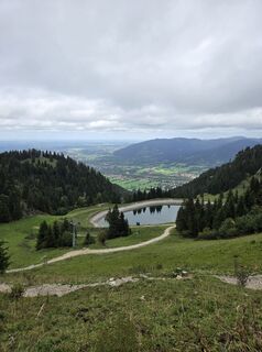
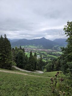
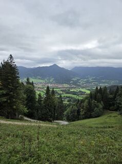
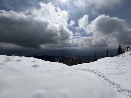
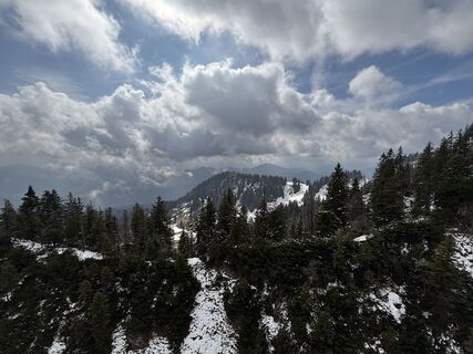
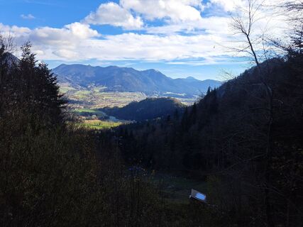
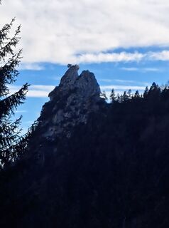
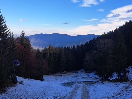
Wanderung auf Brauneck
luz
Navegue por
Navegue por
Consigue este tour en tu móvil
Wanderung auf Brauneck
luz
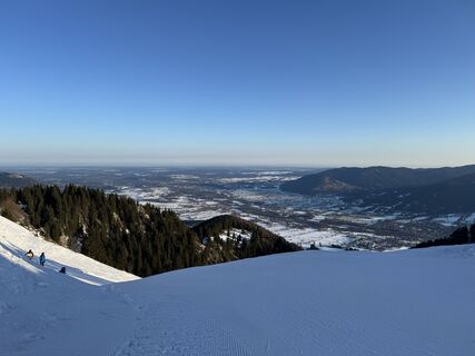
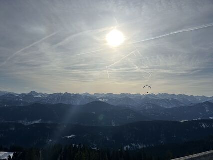
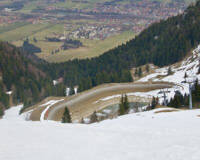
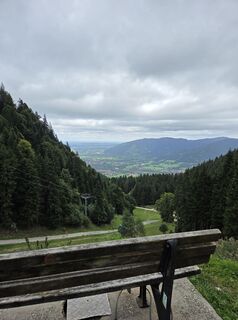
Senderismo de invierno
12,05
km
Escanee el código QR e inicie la navegación en la aplicación bergfex

Senderismo y rastreo


Wanderung auf Brauneck
luz
Distancia
12,05
km
Duración
04:12
h
Ascenso
765
m
Nivel del mar
677 -
1.529
m
Descarga de pistas
Wanderung auf Brauneck
luz
Senderismo de invierno
12,05
km
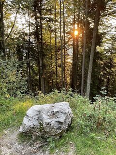
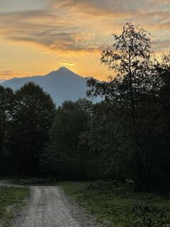
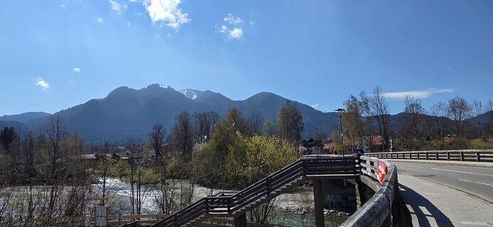
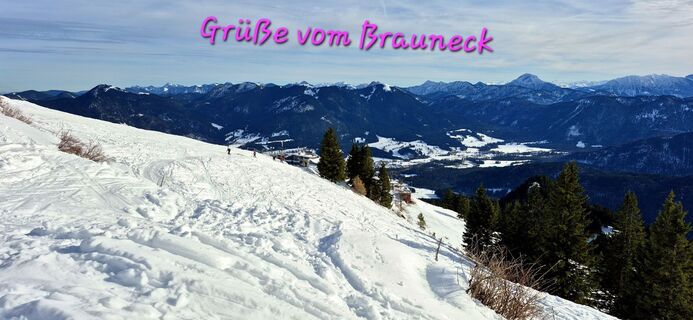
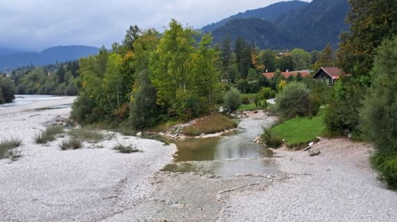
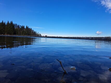
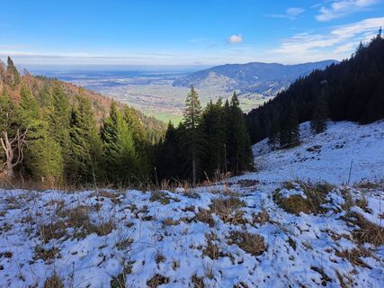
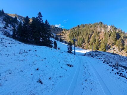
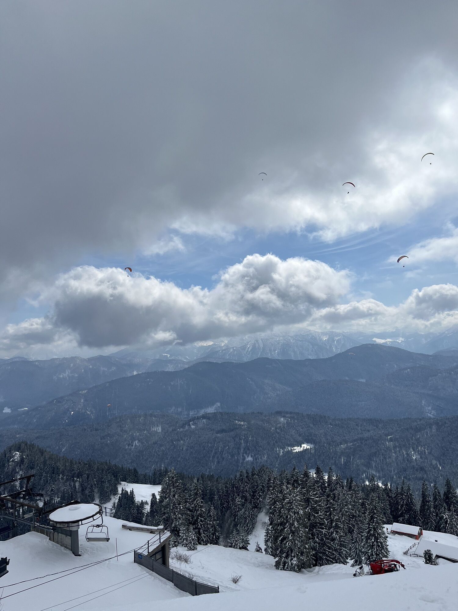
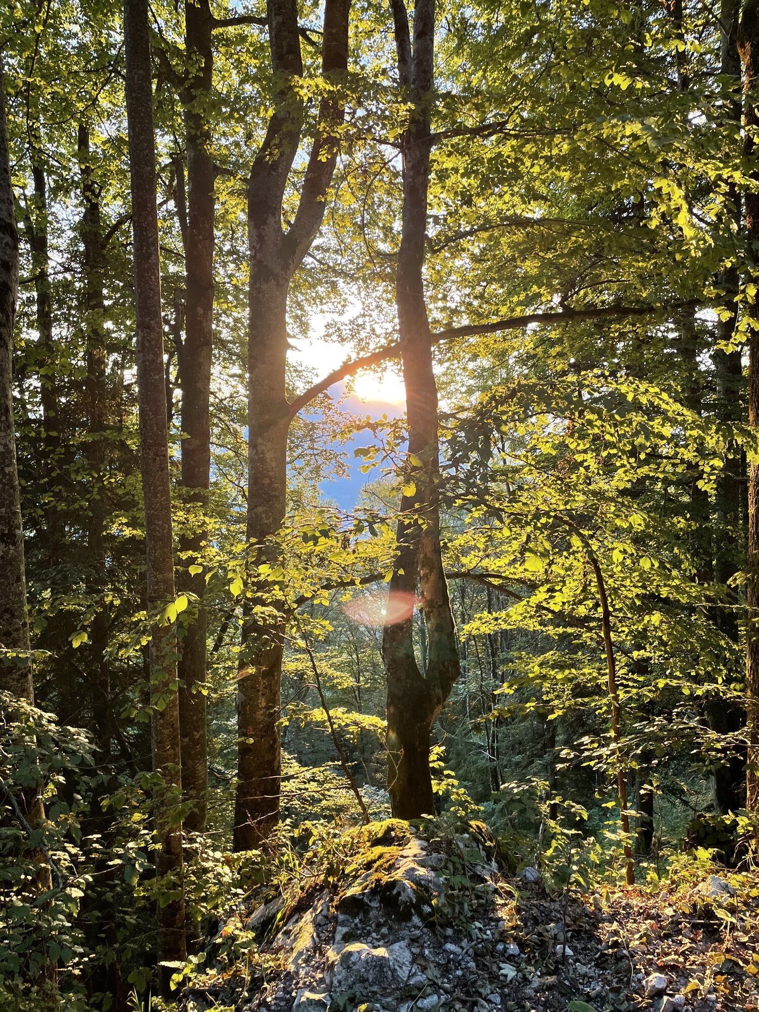
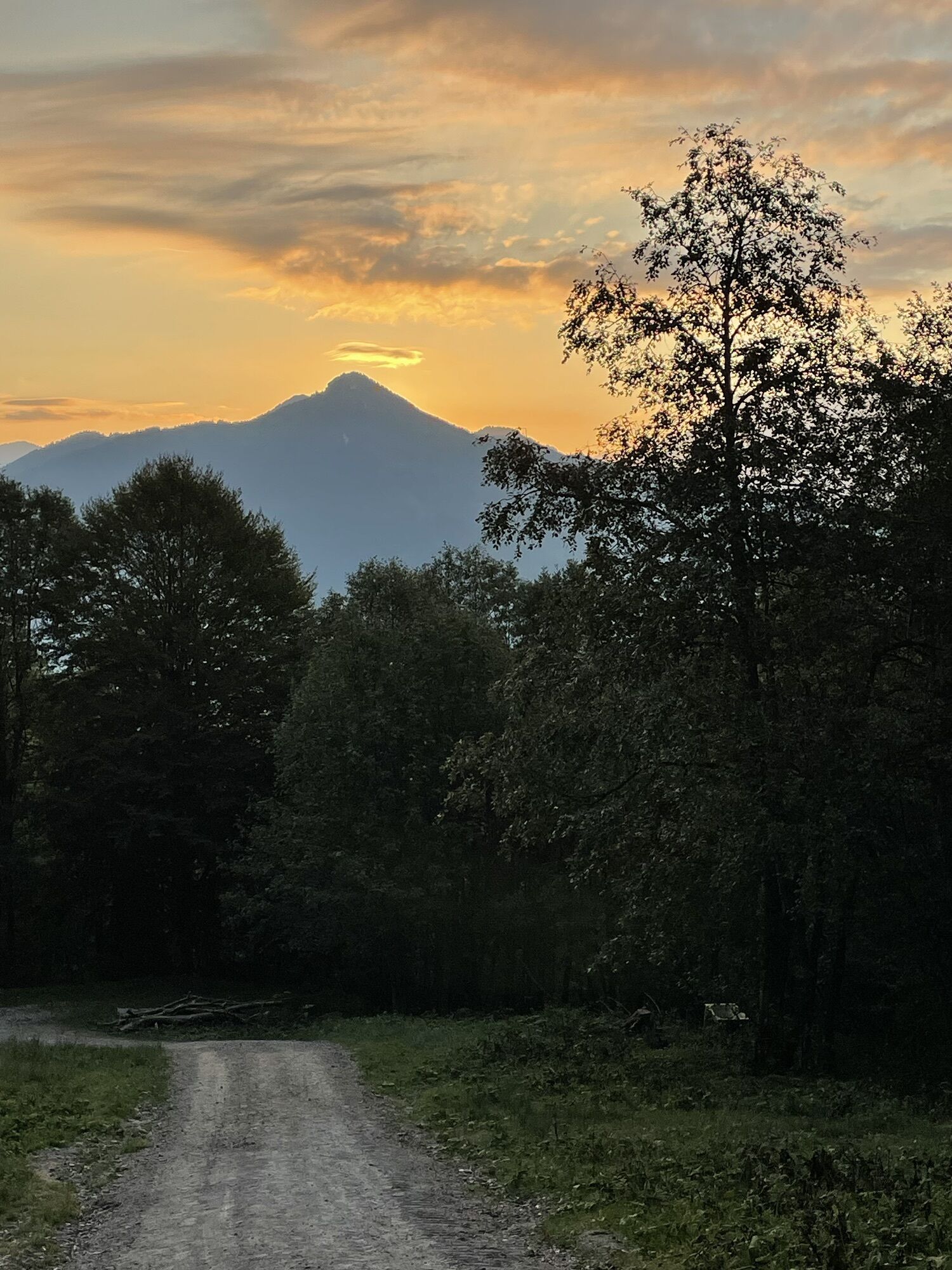
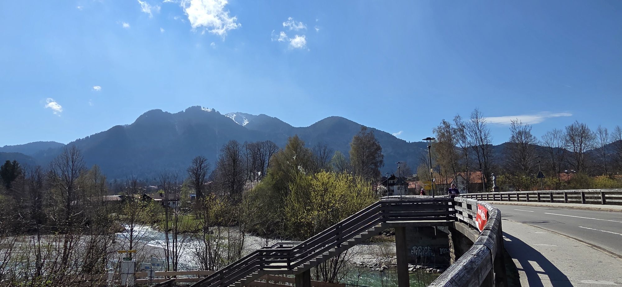
Fotos de nuestros usuarios
-
 © Vincent Sauter 1Creado el 28.03.2026
 -
 © Vincent Sauter 1Creado el 28.03.2026
 -
 © Vincent Sauter 1Creado el 28.03.2026
 -
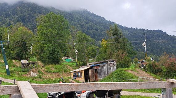
 © Guilherme BrunoCreado el 28.02.2026
 -

 © Raphael BuddayCreado el 02.02.2026
 -

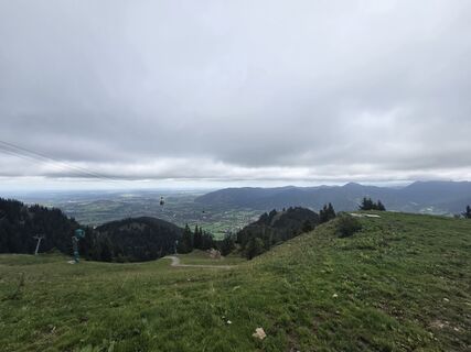
 © MickiCreado el 21.01.2026
 -
 © MickiCreado el 21.01.2026
 -
 © MickiCreado el 21.01.2026
 -
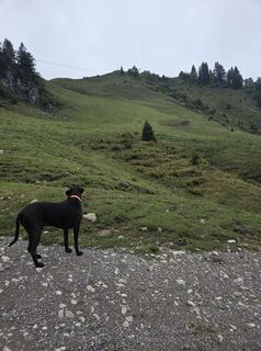
 © Peter RübelCreado el 17.01.2026
 -
 © RolandMCreado el 11.03.2025
 -
 © RolandMCreado el 11.03.2025
 -
 © Silke S.Creado el 16.09.2025
 -
 © Tristan MartindaleCreado el 08.09.2023
 -
 © Tristan MartindaleCreado el 08.09.2023
 -
 © Tristan MartindaleCreado el 08.09.2023
 -
 © Karin GeretshauserCreado el 11.04.2026
 -
 © Thomas SchekiraCreado el 30.11.2025
 -

 © MartinCreado el 18.10.2025
 -
 © Antje ScharfenbergCreado el 27.09.2025
 -
 © Antje ScharfenbergCreado el 27.09.2025
 -
 © Silke S.Creado el 16.09.2025
 -
 © Silke S.Creado el 16.09.2025
 -
 © Silke S.Creado el 16.09.2025
 -
 © Silke S.Creado el 16.09.2025
 -
 © Silke S.Creado el 16.09.2025
 -
 © Silke S.Creado el 16.09.2025
 -

 © ildiko.kulbCreado el 13.07.2025
 -

 © Sven KrieblinCreado el 21.06.2025
 -
 © tiefblauesmeerCreado el 30.03.2025
 -
 © tiefblauesmeerCreado el 30.03.2025
 -
 © tiefblauesmeerCreado el 30.03.2025
 -
 © tiefblauesmeerCreado el 30.03.2025
 -
 © tiefblauesmeerCreado el 30.03.2025
 -
 © tiefblauesmeerCreado el 30.03.2025
 -
 © tiefblauesmeerCreado el 30.03.2025
 -
 © tiefblauesmeerCreado el 30.03.2025
 -
 © tiefblauesmeerCreado el 30.03.2025
 -

 © zoltán pintér 3Creado el 17.11.2024
 -
 © zoltán pintér 3Creado el 17.11.2024
 -
 © zoltán pintér 3Creado el 17.11.2024
 -
 © zoltán pintér 3Creado el 17.11.2024
 -
 © zoltán pintér 3Creado el 17.11.2024
 -
 © zoltán pintér 3Creado el 17.11.2024
 -
 © zoltán pintér 3Creado el 17.11.2024
 -
 © zoltán pintér 3Creado el 17.11.2024
 -
 © zoltán pintér 3Creado el 17.11.2024
 -
 © zoltán pintér 3Creado el 17.11.2024
 -
 © zoltán pintér 3Creado el 17.11.2024


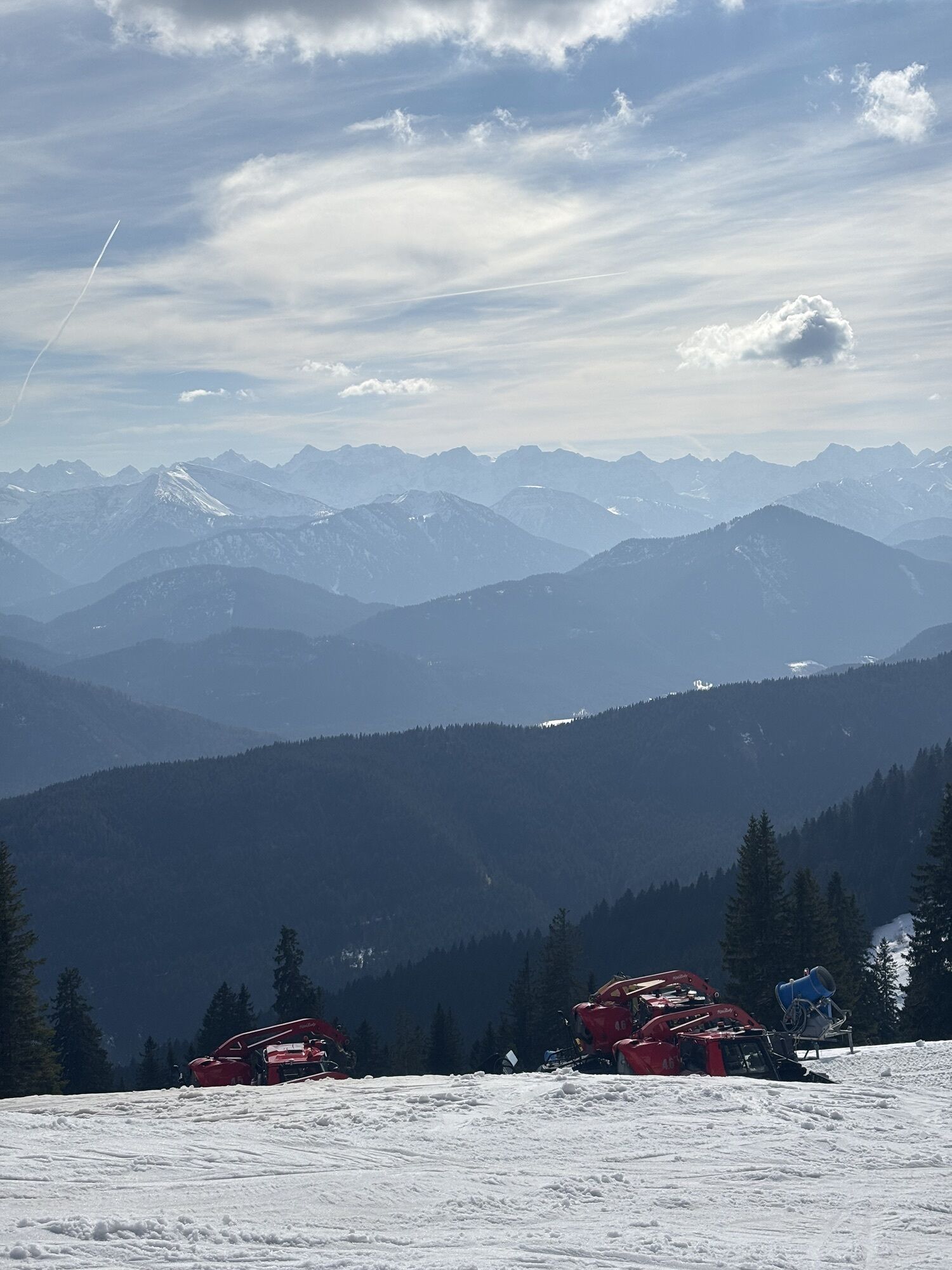
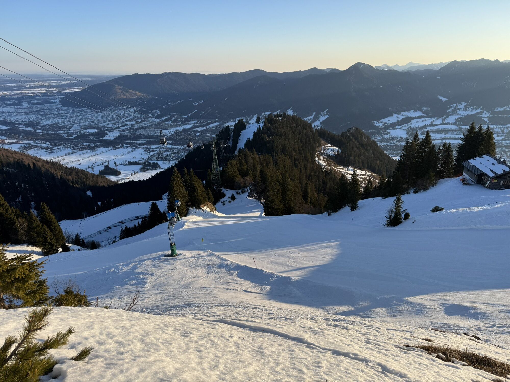

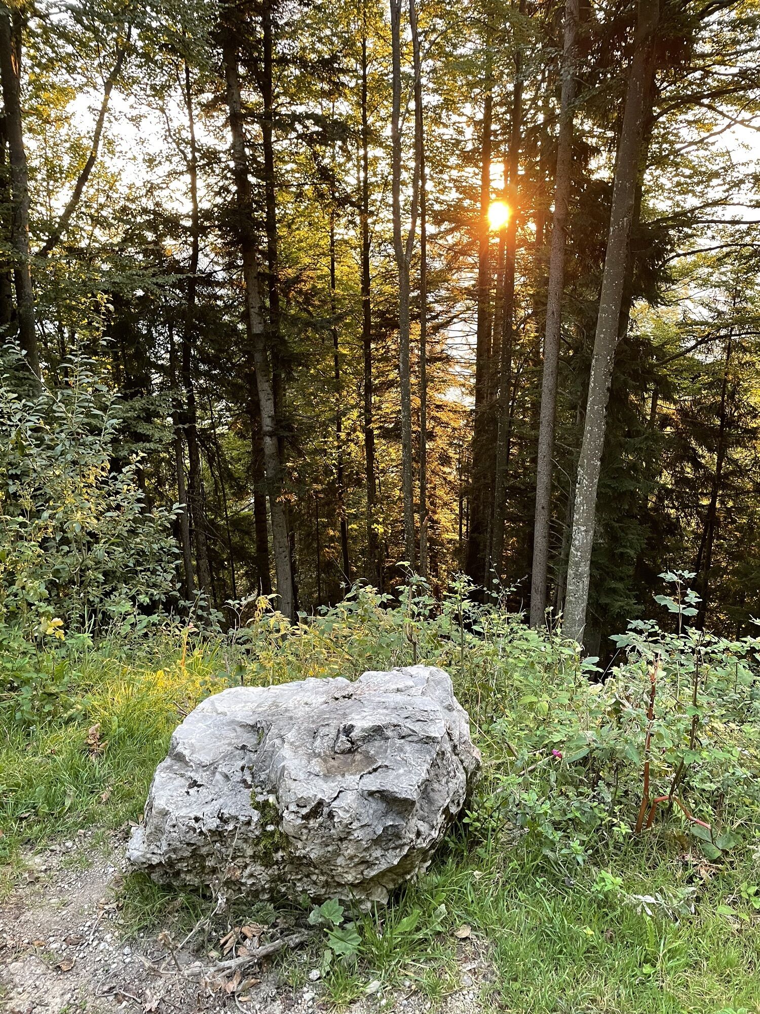

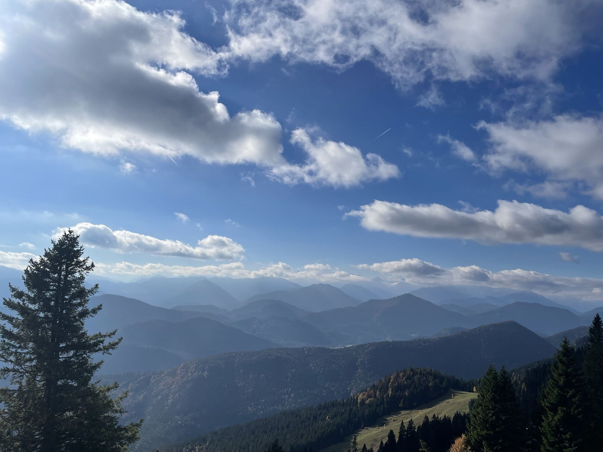


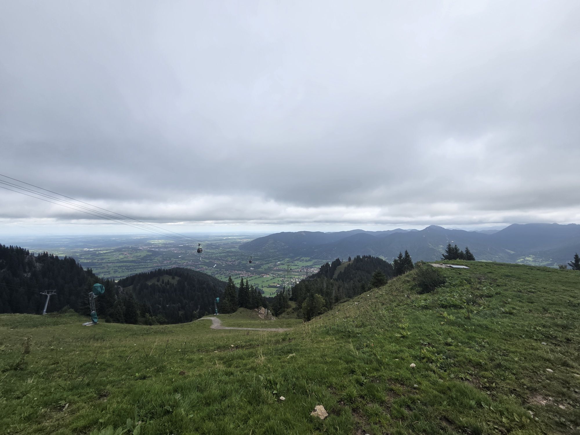

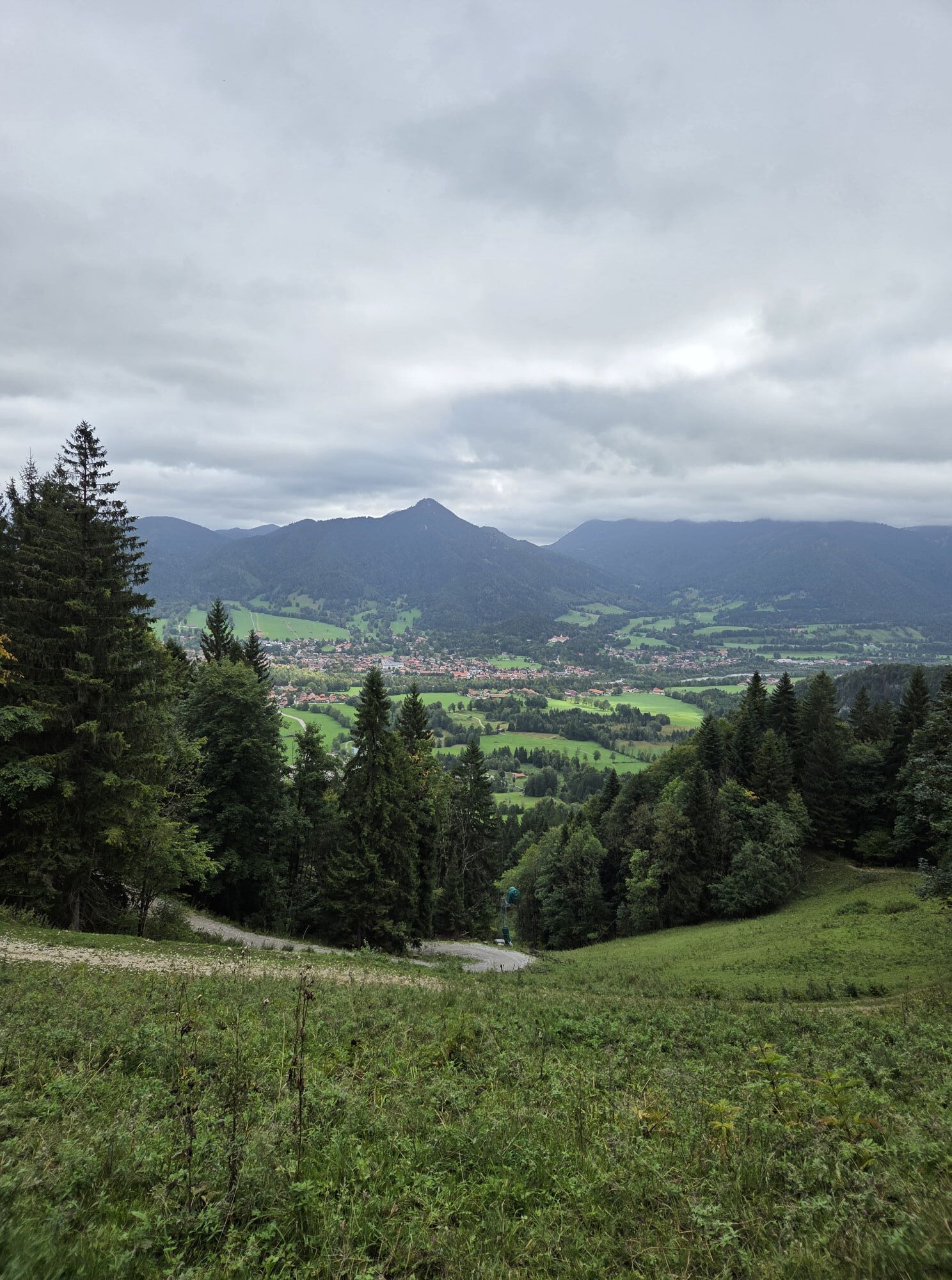
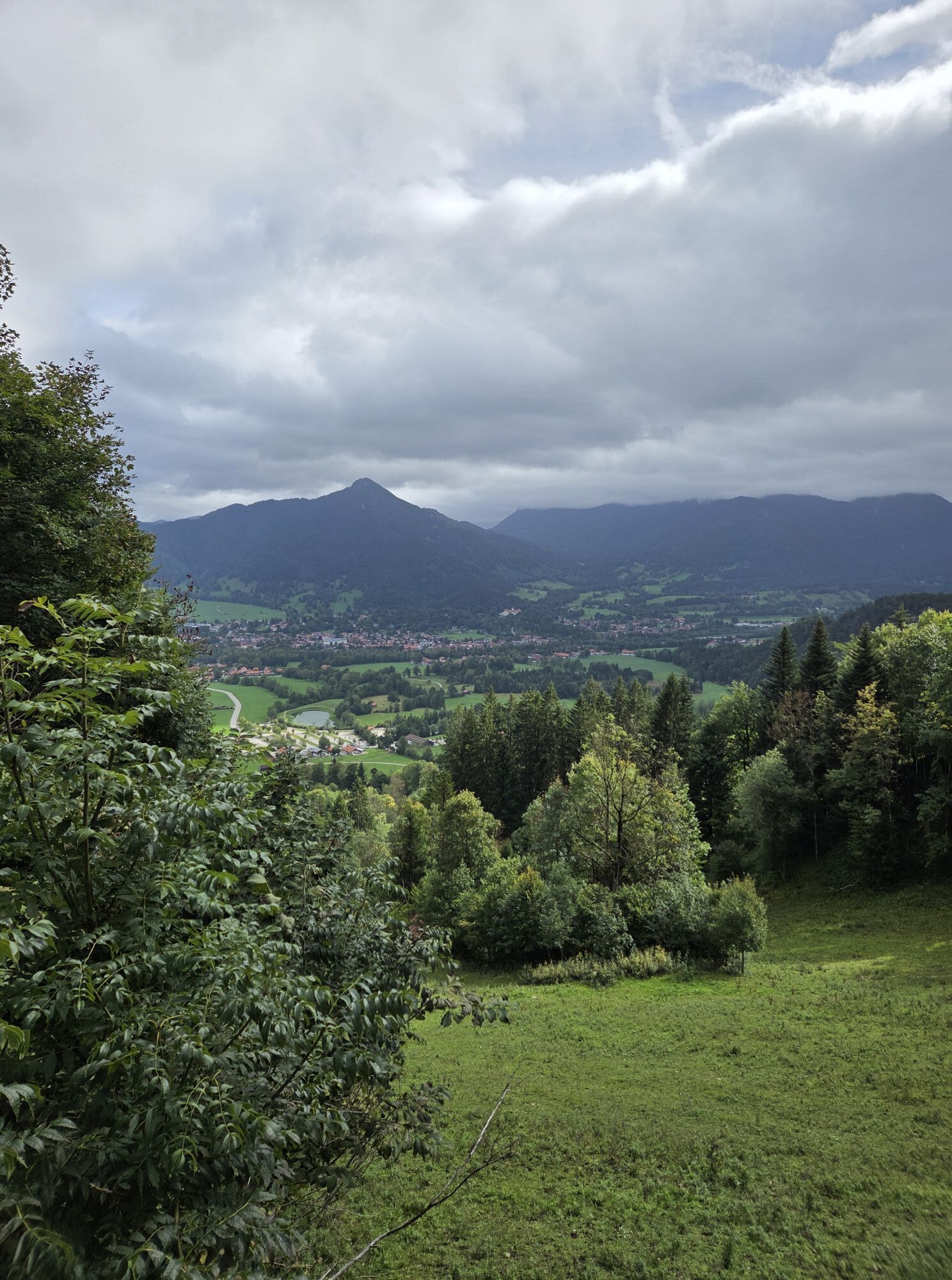
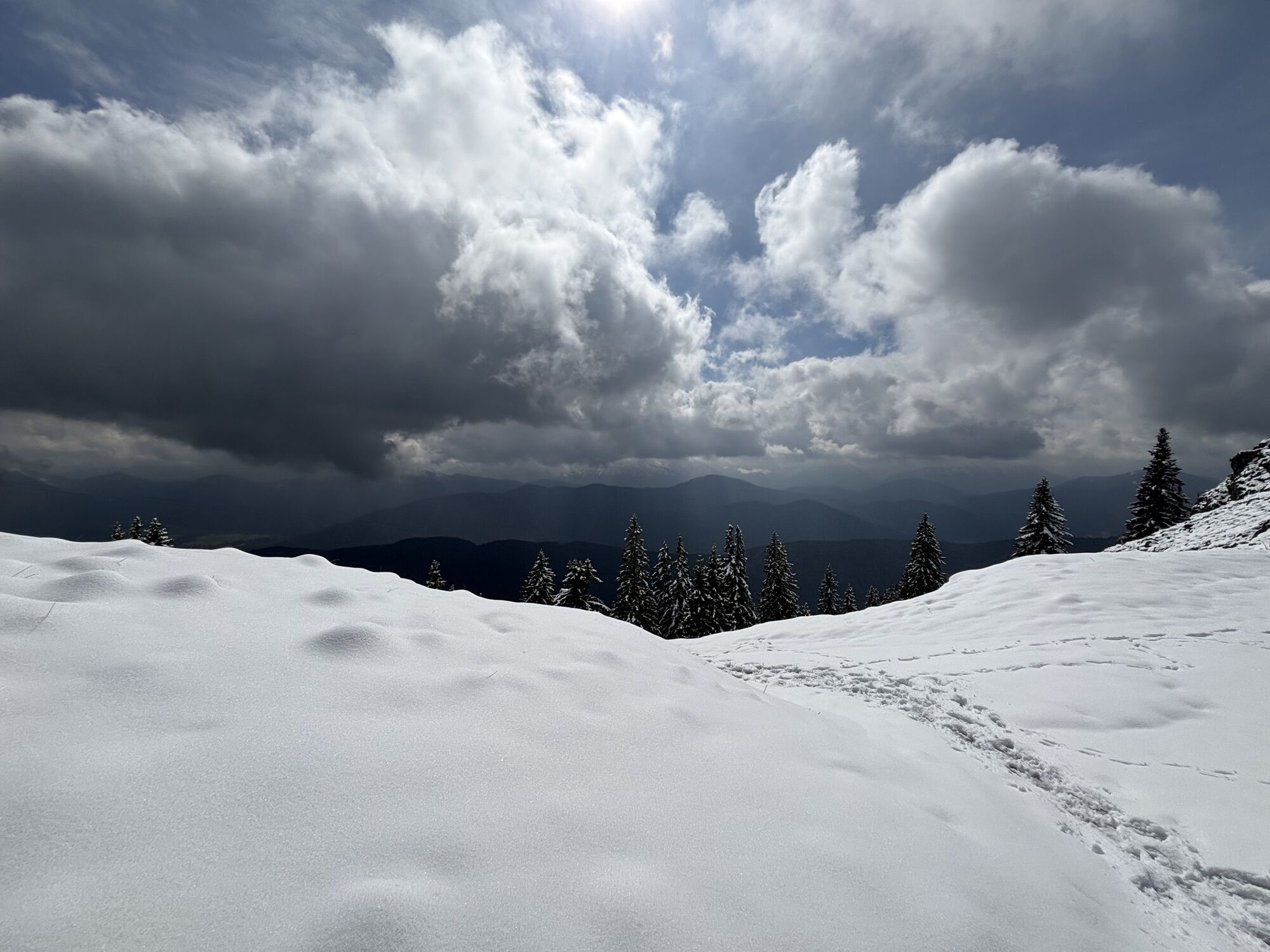
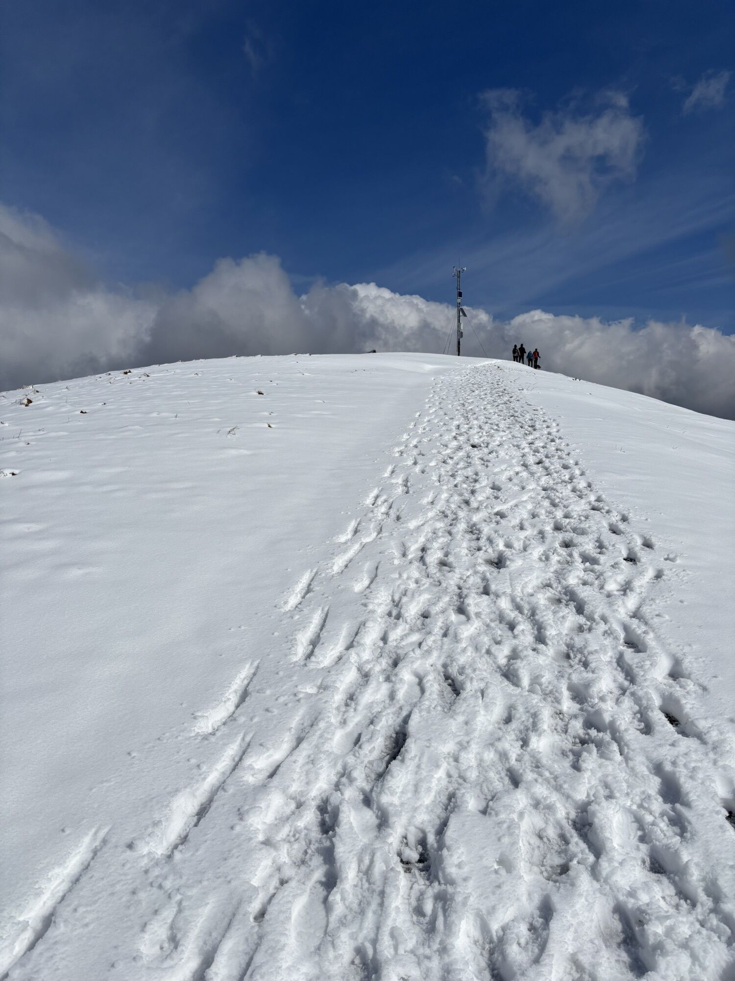
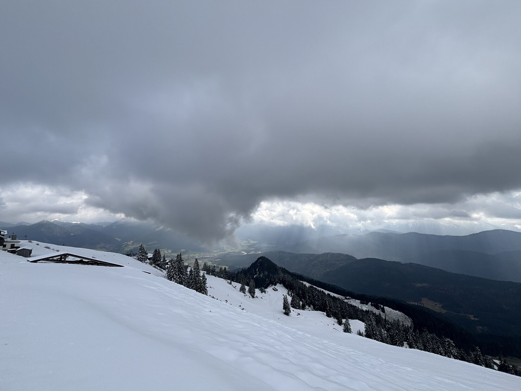
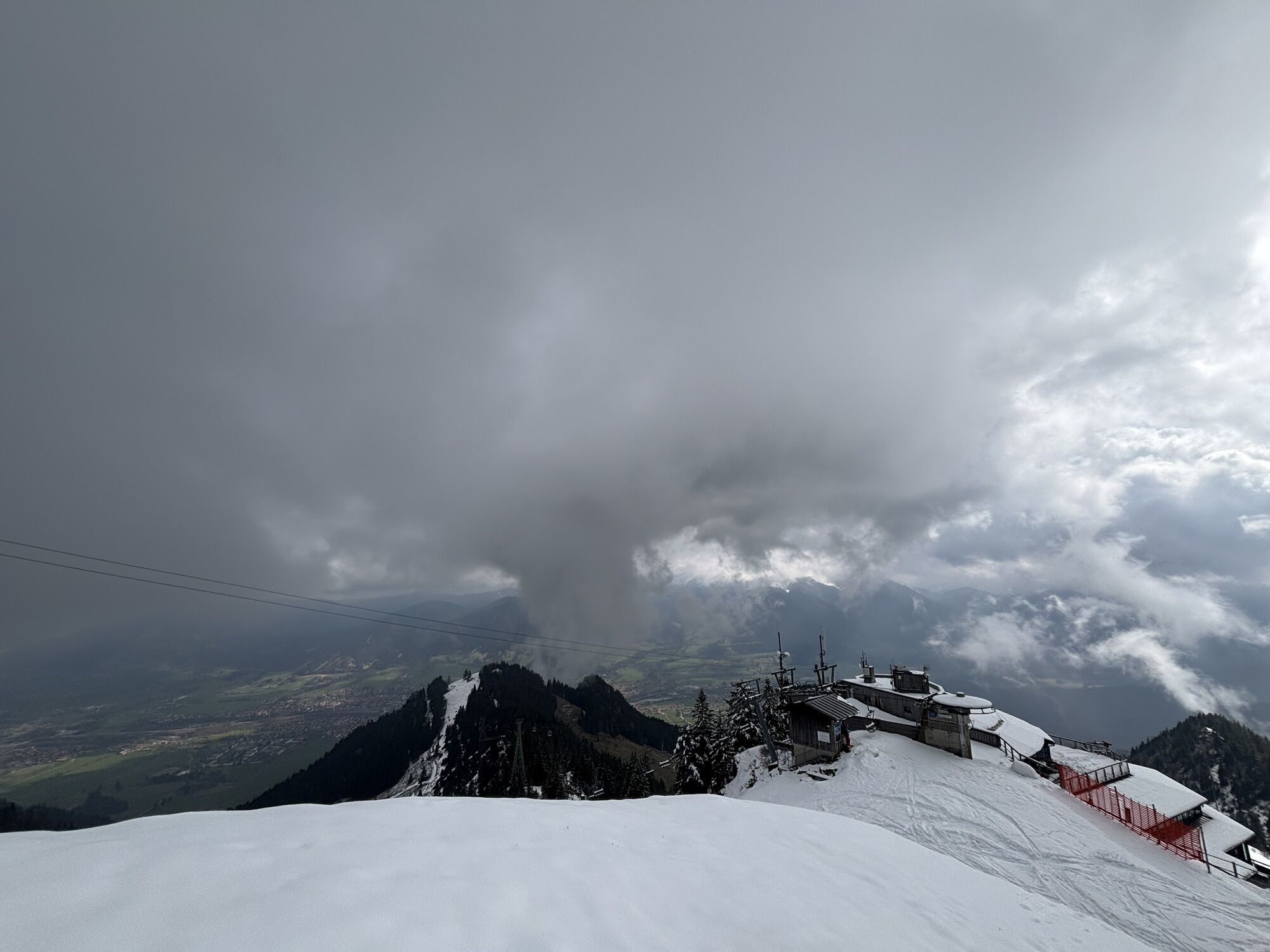
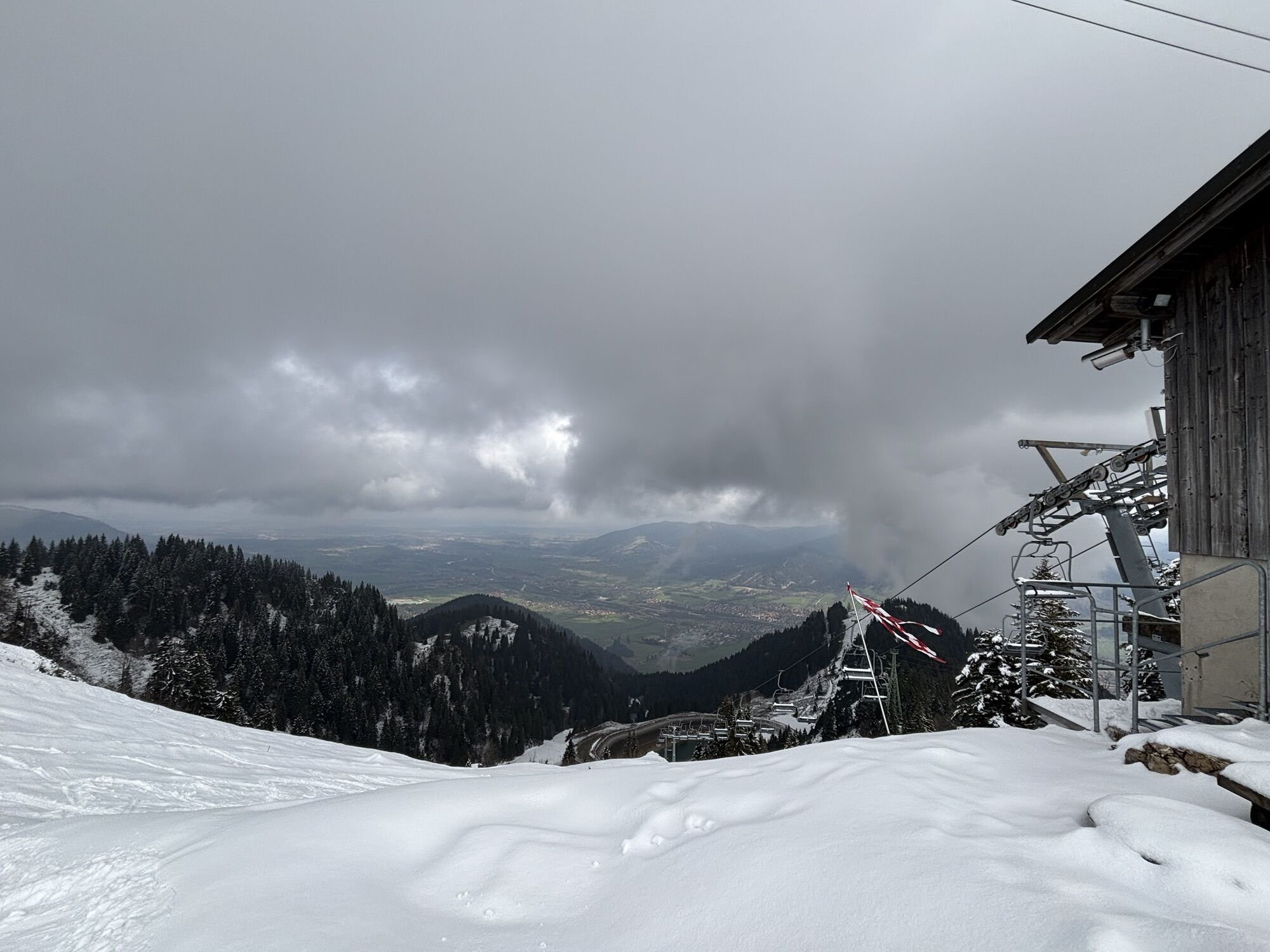

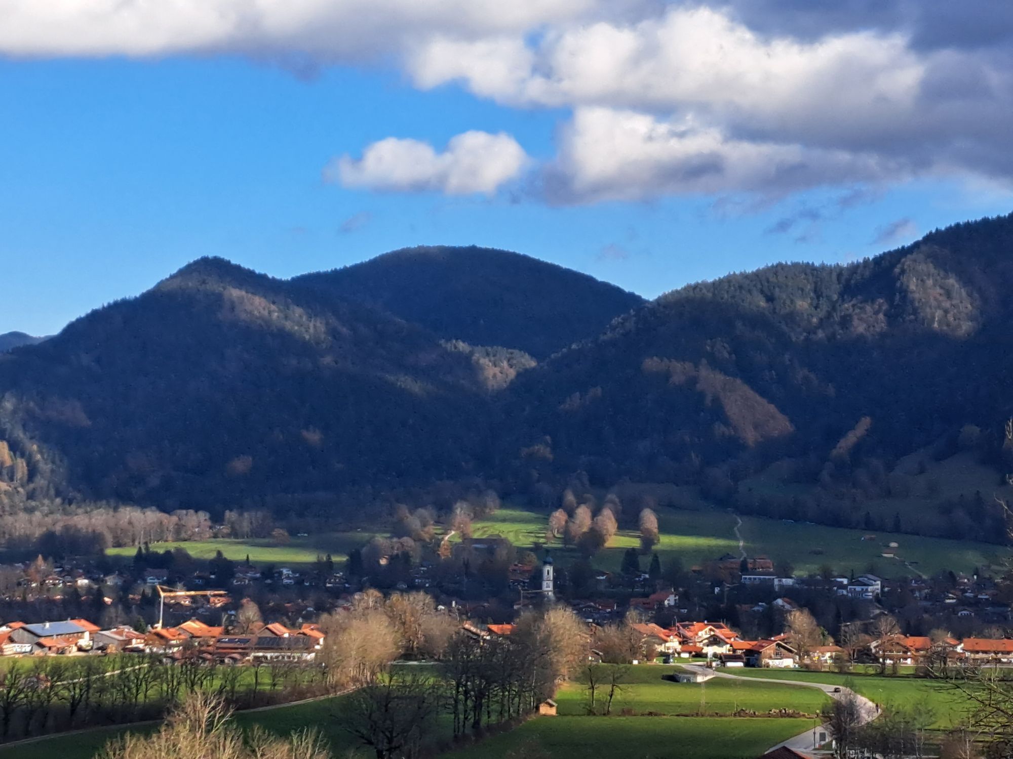
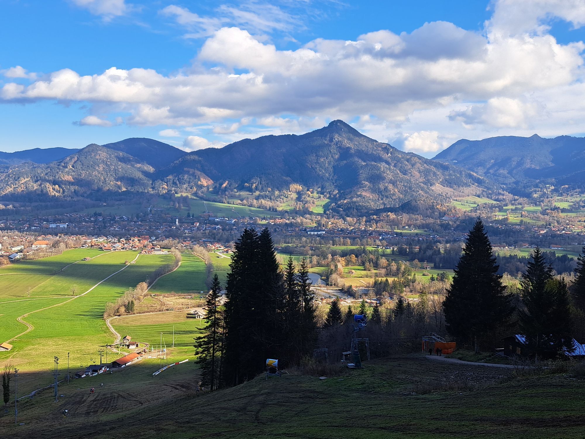
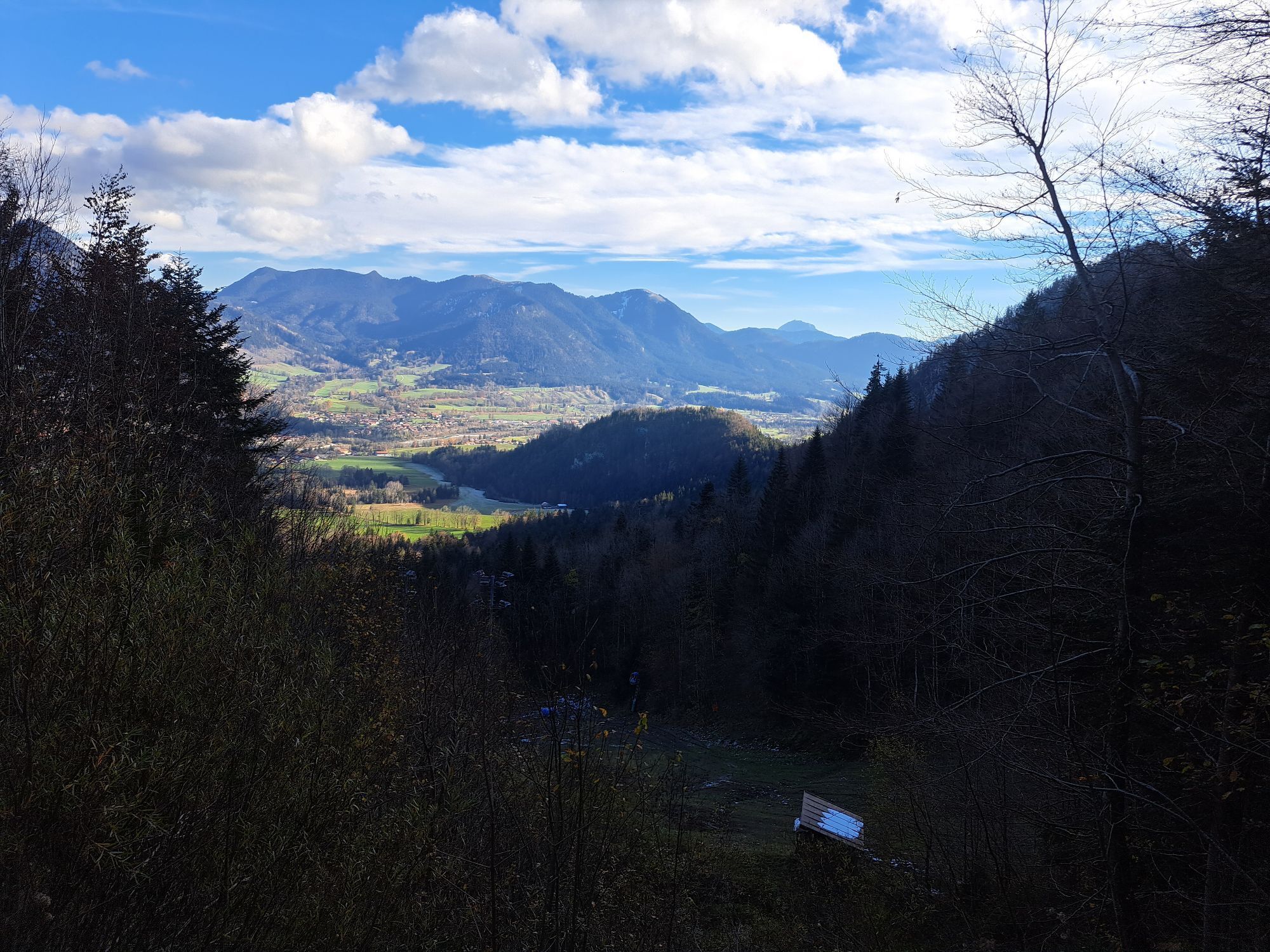


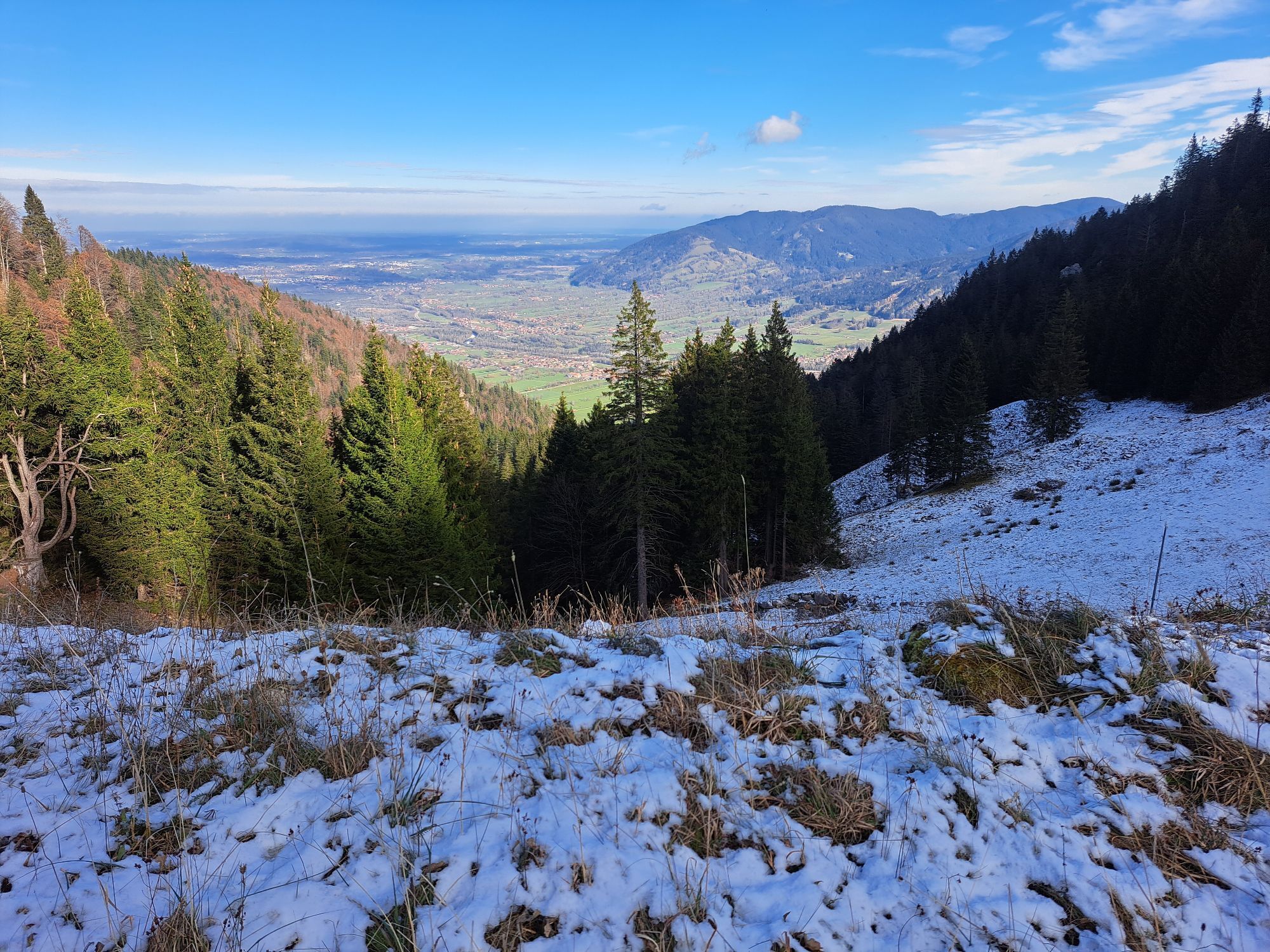
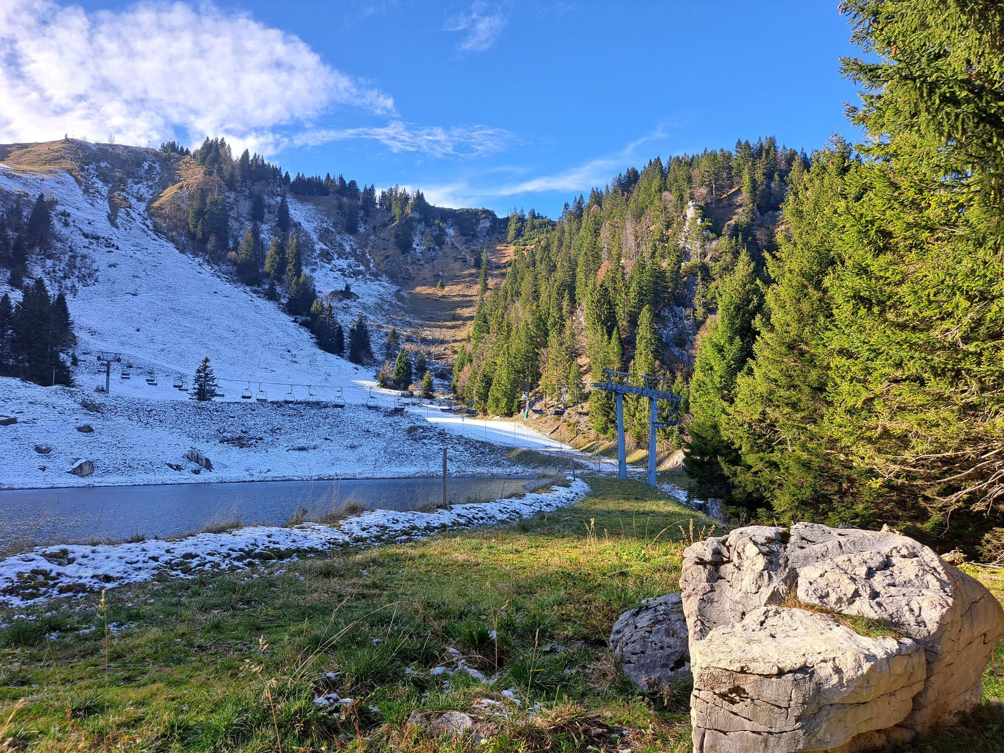

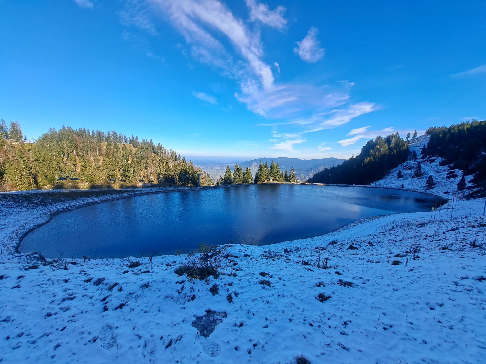
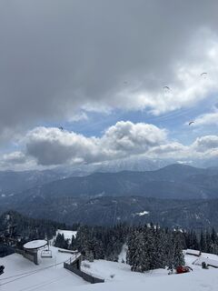
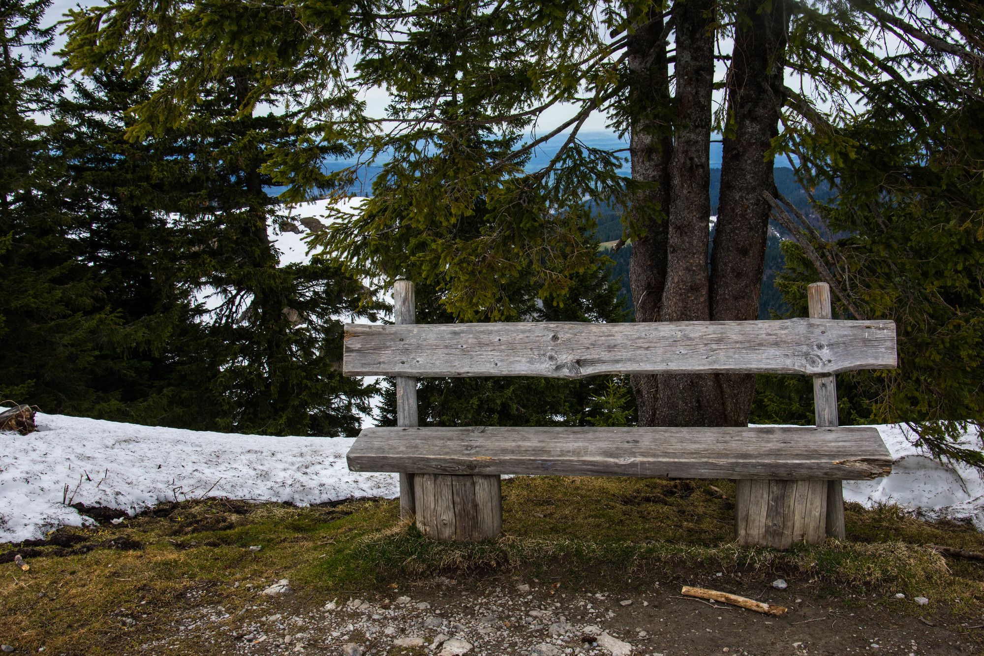
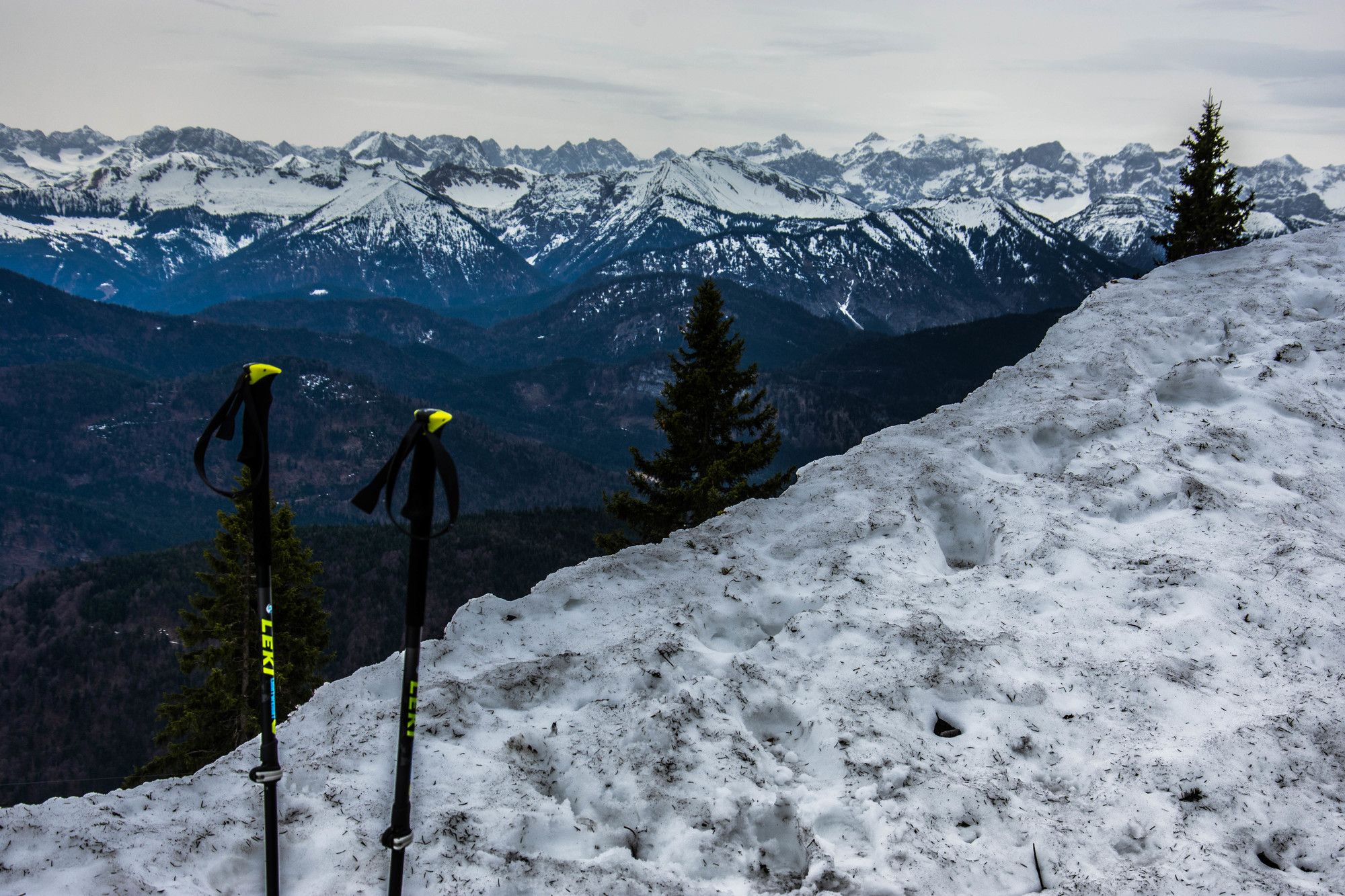
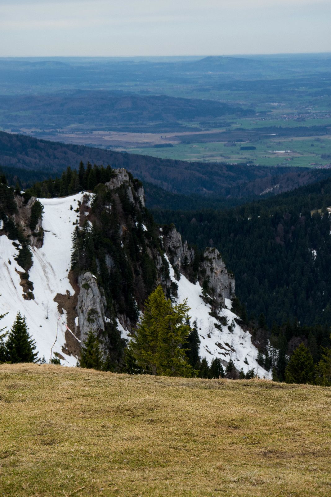
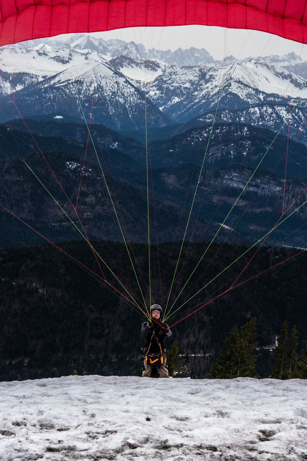
Die Wanderung sollte eigentlich von Brauneck anfangen und Richtung Benediktenwand gehen. Leider war die Seibahn gewartet und und der Aufstieg auf Brauneck hat zu viele Zeit in Anspruch genommen und meine Pläne gekreutzt.
Ruta
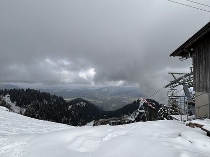
Streidlhang-Lift
(714 m)
Estación de góndola
0,0 km
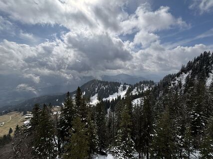
Reiseralm
(912 m)
Restaurante
1,2 km
Schrödelstein
(1.548 m)
Cumbre
4,9 km
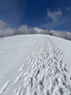
Brauneck
(1.555 m)
Cumbre
5,3 km
Gilgenhöfe
(696 m)
Liquidación
10,5 km
Lenggries
(679 m)
Ciudad
11,3 km
Lenggries
(679 m)
Estación de ferrocarril
11,6 km
Ruta
Wanderung auf Brauneck
luz
Senderismo de invierno
12,05
km
Streidlhang-Lift
(714 m)
Estación de góndola
0,0 km
Reiseralm
(912 m)
Restaurante
1,2 km
Panoramarestaurant Brauneck
(1.498 m)
Estación de góndola
3,9 km
Schrödelstein
(1.548 m)
Cumbre
4,9 km
Brauneck
(1.555 m)
Cumbre
5,3 km
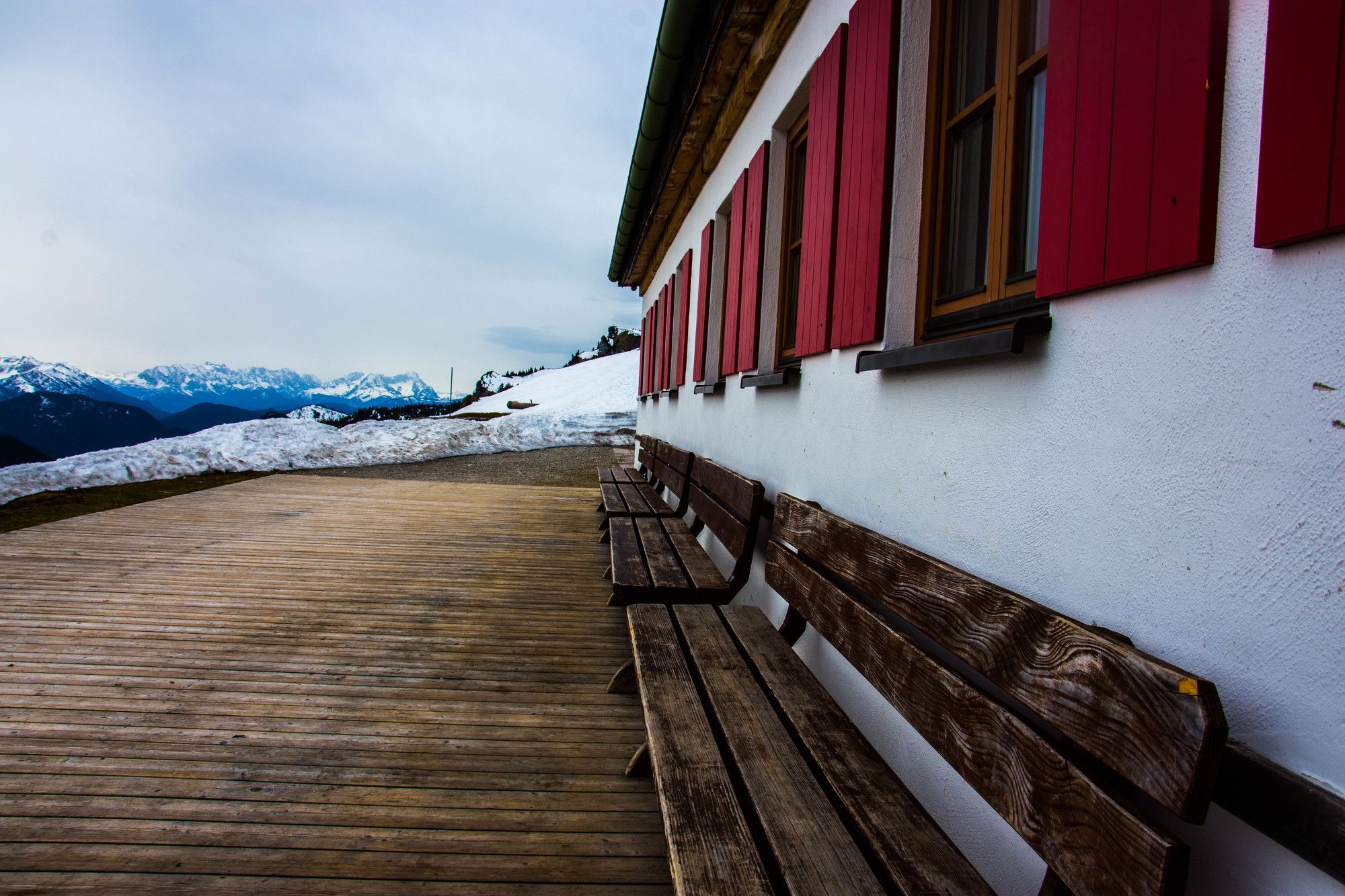
Brauneck-Gipfelhaus
(1.542 m)
Refugio
5,4 km
Streidlhang-Lift
(714 m)
Estación de góndola
9,4 km
Jaegers
(713 m)
Restaurante
9,5 km
Alte Mulistation
(715 m)
Restaurante
9,7 km
Gilgenhöfe
(696 m)
Liquidación
10,5 km
Luitpolderhöfe
(678 m)
Liquidación
10,8 km
Lenggries
(679 m)
Ciudad
11,3 km
Lenggries
(679 m)
Estación de ferrocarril
11,6 km

Compartir gira
Wanderung auf Brauneck
luz
Senderismo de invierno
12,05
km
Error
Se ha producido un error. Por favor, inténtelo de nuevo.


Último seguimiento
6 hace días
Equipamiento
Feste schuh, Wanderstock
Información de llegada
Llegada
Zug nach Lenggries
Valoraciones
1 Comentario
Ben Katzenberger
25. ene.. 2025
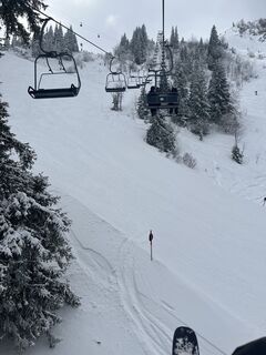
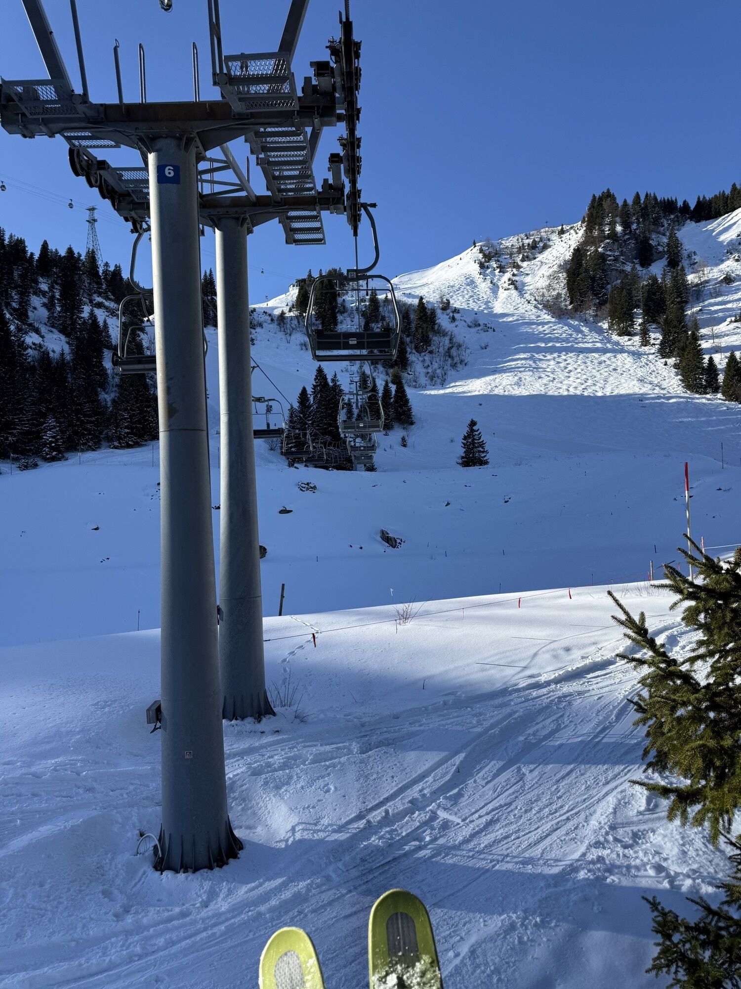
Weg verläuft auf Skipiste
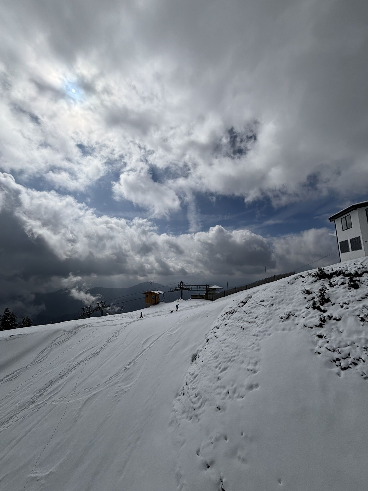
Nach ca. 500 Metern verläuft der Weg auf der schwarzen Skipiste. Laut Aussage der Bergbahn gibt es im Winter überhaupt keine Möglichkeit, zu Fuß auf den Brauneck zu gelangen, ohne in Kontakt mit Skipisten zu kommen.


Rutas populares en los alrededores
-
3,7
Benediktenwand (1801 m)
Senderismo 23,0 km -
4,8
Lengrieser Hütte
medioSenderismo 10,6 km -
4,8
Jochberg
luzSenderismo 7,56 km -
3,8
Wasserfall-Weg Jachenau
luzSenderismo 9 km -
4,7
Aueralm/Zwerglberg
medioSenderismo 11,9 km -
3,7
Aueralm und Fockenstein
medioSenderismo 14,1 km -
4,6
Königsalm
medioSenderismo 10,0 km -
4,3
Heiglkopf-Blomberg-Zwiesl Wackersberg, Bayern
luzSenderismo 12,6 km -
4,6
"Rabenkopf" Rundweg
Senderismo 11,0 km -
4,6
Brauneck zum Latschenkopf Rundweg
medioSenderismo 6,30 km

Senderismo y rastreo

Más de 550.000 sugerencias de excursiones, mapas detallados y un intuitivo planificador de rutas hacen de esta aplicación una herramienta imprescindible para todos los amantes de la naturaleza.

No se pierda las ofertas y la inspiración para sus próximas vacaciones
Suscribirse al boletín de noticias
Error
Se ha producido un error. Por favor, inténtelo de nuevo.
Gracias por inscribirse
Su dirección de correo electrónico se ha añadido a la lista de correo.
Viajes por Europa
Austria
Suiza
Alemania
Italia
Eslovenia
Francia
Países Bajos
Belgium
Polonia
Liechtenstein
República Checa
Slovakia
España
Croacia
Bosnia y Herzegovina
Luxemburgo
Andorra
Portugal
Iceland
United Kingdom
Ireland
Greece
Albania
North Macedonia
Malta
Norway
Montenegro
Moldova
Kosovo
Hungary
San Marino
Romania
Estonia
Latvia
Belarus
Cyprus
Lithuania
Serbia
Bulgaria
Monaco
Denmark
Sweden
Finland