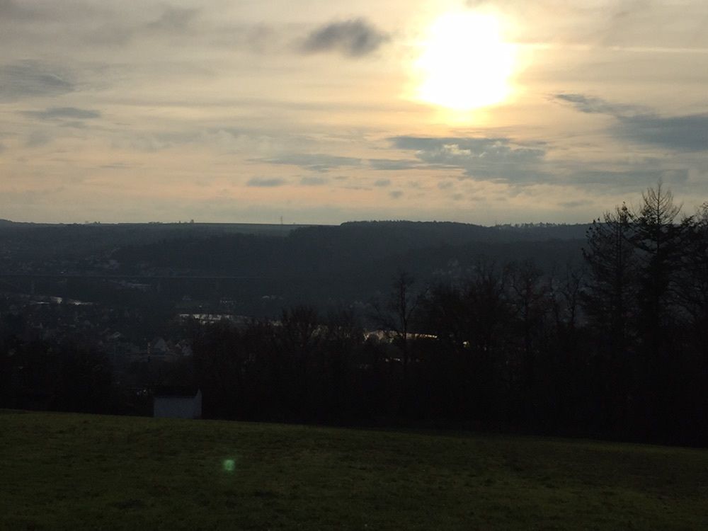
Veitshöchheim - kleine Hügelrunde
luz
Navegue por
Navegue por
Consigue este tour en tu móvil
Veitshöchheim - kleine Hügelrunde
luz
Senderismo
5,95
km
Escanee el código QR e inicie la navegación en la aplicación bergfex

Senderismo y rastreo


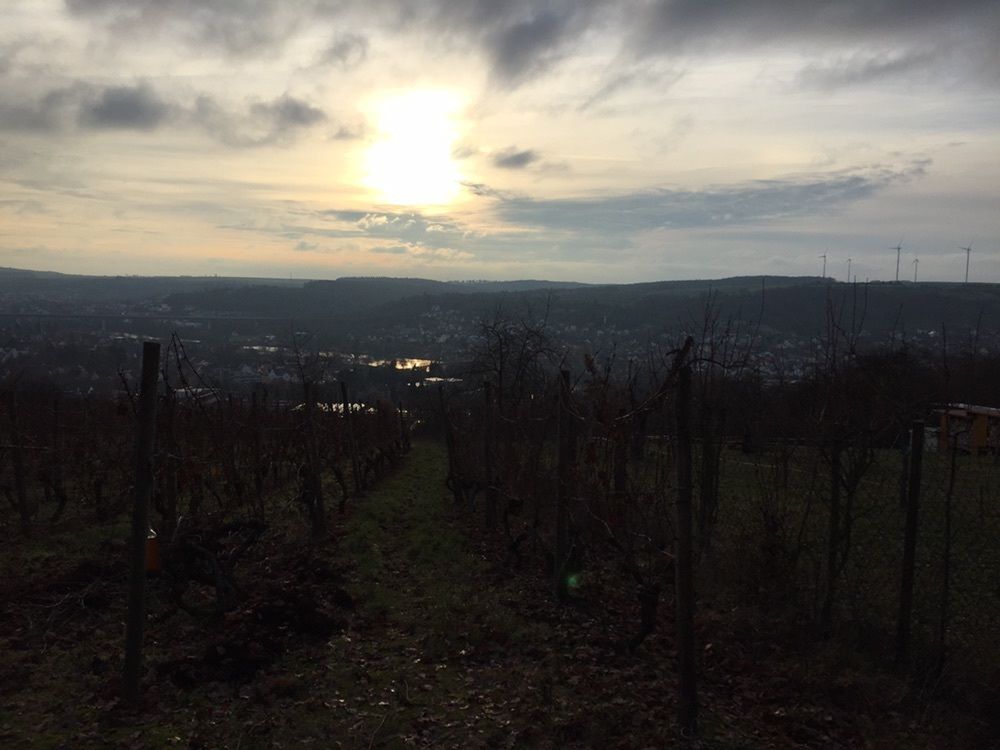
Veitshöchheim - kleine Hügelrunde
luz
Distancia
5,95
km
Duración
01:21
h
Ascenso
114
m
Nivel del mar
158 -
262
m
Descarga de pistas
Veitshöchheim - kleine Hügelrunde
luz
Senderismo
5,95
km
Ruta
Veitshöchheim
(170 m)
Pueblo
0,2 km
Margetshöchheim
(173 m)
Pueblo
0,6 km
Friedhofskapelle Sankt Martin
(181 m)
Lugar de culto
1,4 km
Ruta
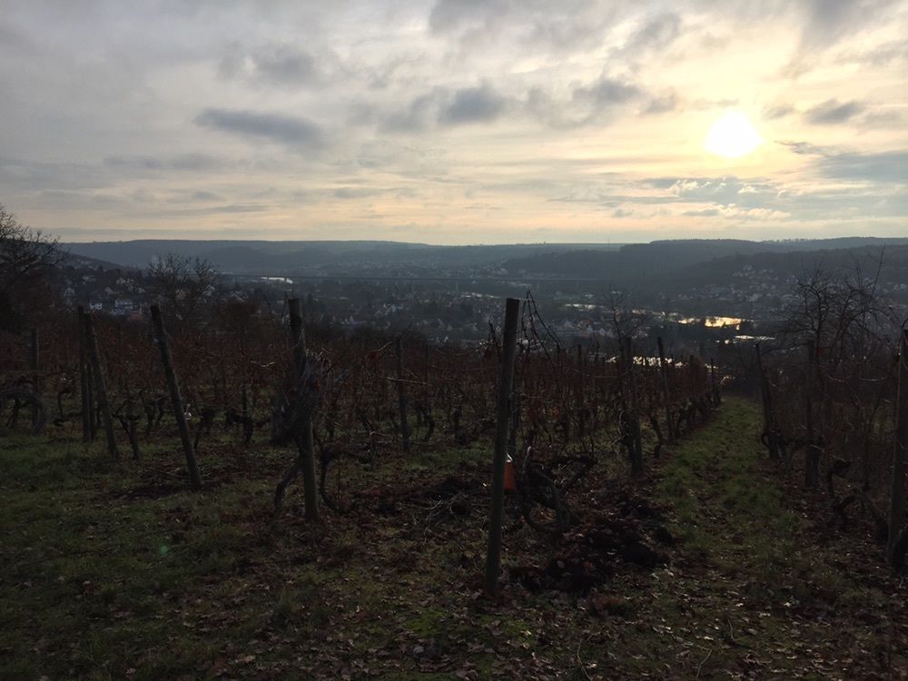
Veitshöchheim - kleine Hügelrunde
luz
Senderismo
5,95
km
Veitshöchheim
(170 m)
Pueblo
0,2 km
Margetshöchheim
(173 m)
Pueblo
0,6 km
Friedhofskapelle Sankt Martin
(181 m)
Lugar de culto
1,4 km
Friedhofskapelle Sankt Martin
(181 m)
Lugar de culto
4,5 km
Margetshöchheim
(173 m)
Pueblo
5,2 km
Veitshöchheim
(170 m)
Pueblo
5,6 km

Compartir gira
Veitshöchheim - kleine Hügelrunde
luz
Senderismo
5,95
km
Error
Se ha producido un error. Por favor, inténtelo de nuevo.
Aún no hay opiniones
Rutas populares en los alrededores
-
4,0
Main-Tauber-Fränkischer Rad-Achter: Ostring
medioCiclismo 216,6 km -
Eibelstadt - Randersacker - Würzburg - St. Andreas Kirche
pesadoSenderismo 20,5 km -
Mainwanderweg Retzbach Karlstadt
luzSenderismo 12,2 km -
Ruta Romántica: Wertheim hasta Würzburg
medioCiclismo 41,5 km -
2,0
Sonnenstuhl Rundweg
luzSenderismo 5,70 km -
MainRadweg
Ciclismo 627,7 km -
Margetshöchheim 6 Km Runde
luzSenderismo 5,97 km -
Margetshöchheim - Erlabrunn - über die Hügel zurück
medioRunning 12,5 km -
Kurztrip bei Würzburg
medioE-Bike 42,8 km -
Thüngersheim - St. Laurentius - St. Andreas - Brandhöhe
luzCiclismo 70,0 km
Senderismo y rastreo

Más de 550.000 sugerencias de excursiones, mapas detallados y un intuitivo planificador de rutas hacen de esta aplicación una herramienta imprescindible para todos los amantes de la naturaleza.

No se pierda las ofertas y la inspiración para sus próximas vacaciones
Suscribirse al boletín de noticias
Error
Se ha producido un error. Por favor, inténtelo de nuevo.
Gracias por inscribirse
Su dirección de correo electrónico se ha añadido a la lista de correo.
Viajes por Europa
Austria
Suiza
Alemania
Italia
Eslovenia
Francia
Países Bajos
Belgium
Polonia
Liechtenstein
República Checa
Slovakia
España
Croacia
Bosnia y Herzegovina
Luxemburgo
Andorra
Portugal
Iceland
United Kingdom
Ireland
Greece
Albania
North Macedonia
Malta
Norway
Montenegro
Moldova
Kosovo
Hungary
San Marino
Romania
Estonia
Latvia
Belarus
Cyprus
Lithuania
Serbia
Bulgaria
Monaco
Denmark
Sweden
Finland