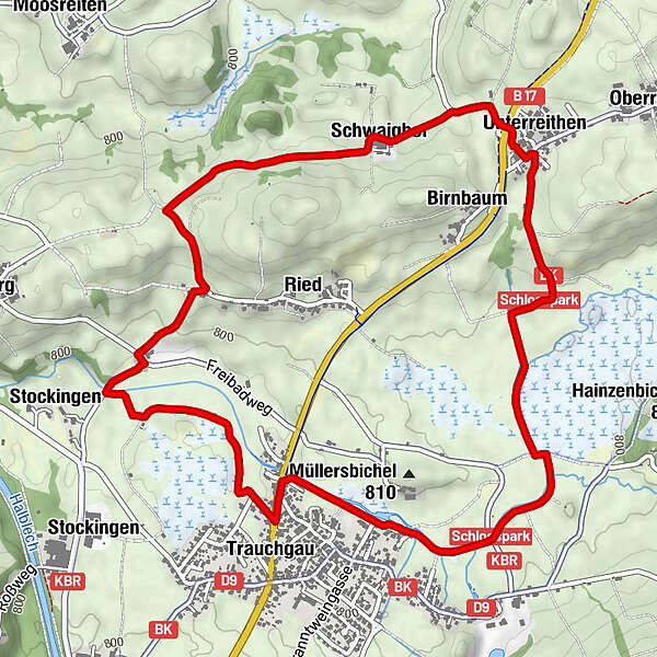
Datos del tour
6,7km
782
- 833m
26hm
42hm
02:00h
- Breve descripción
-
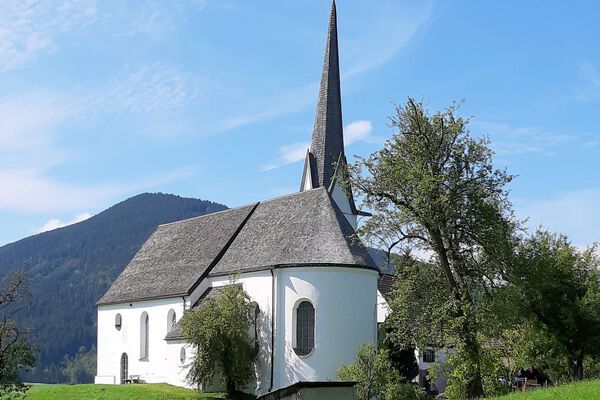
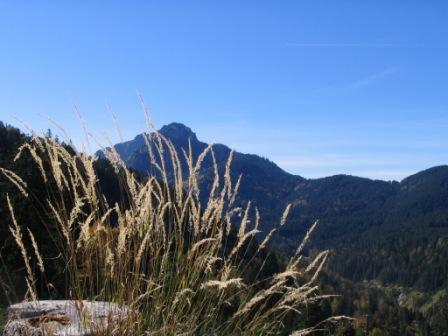
Wanderung durch die Trauchgauer Fluren.
- Dificultad
-
fácil
- Valoración
-
- Punto de salida
-
Gästeinformation in Trauchgau, Dorfstr. 18
- Ruta
-
Trauchgau (792 m)Landgasthof Post0,0 kmAchkapelle0,1 kmUnterreithen2,8 kmSt. Michael2,8 kmGasthaus Sera2,9 kmSchwaighof3,6 kmTrauchgau (792 m)6,6 kmLandgasthof Post6,7 km
- La mejor temporada
-
enefebmarabrmayjunjulagosepoctnovdic
- Punto álgido
- 833 m
- Descanso/Avituallamiento
-
Unterreithen Gasthof Sera, Badstüberl im Freibad, Gasthof Post in Trauchgau
- Material cartográfico
-
Gästeinformation Halblech
GPS Downloads


Superficie de carretera
Asfalto
Gravilla
Pradera
Bosque
Roca
Expuesto
Más circuitos por las regiones
-
Ostallgäu
1228
-
Halblech - Buching - Trauchgau
338