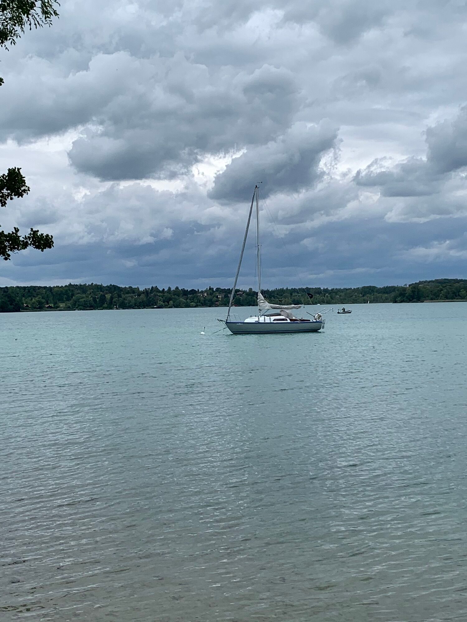
Wörthsee Loop (11.3Km and 59Hm)


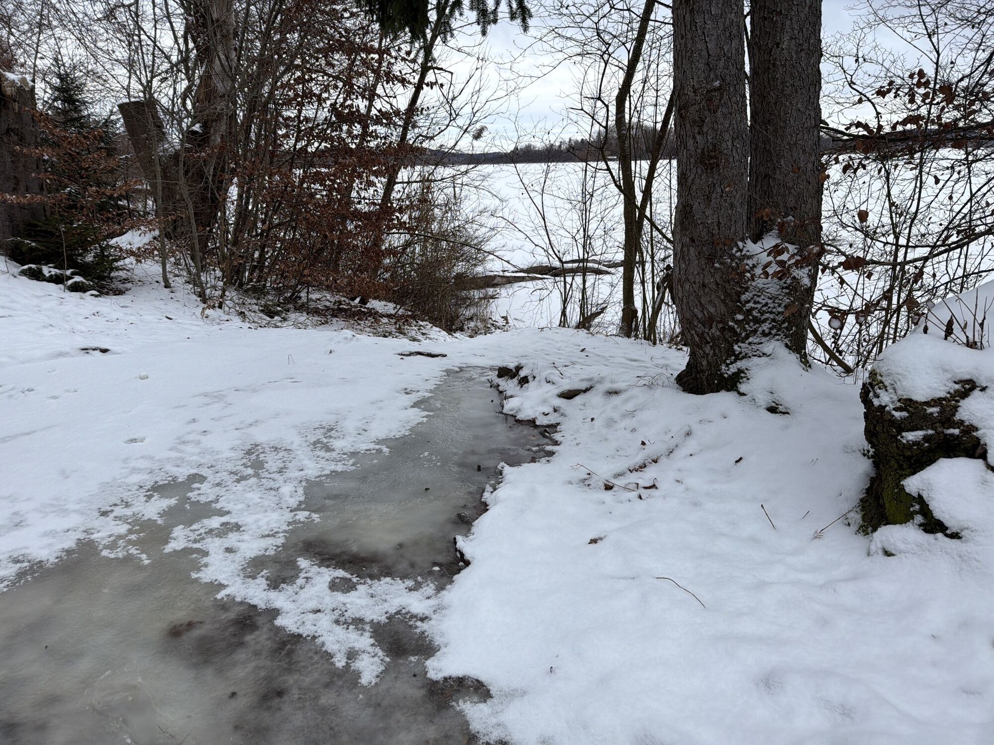
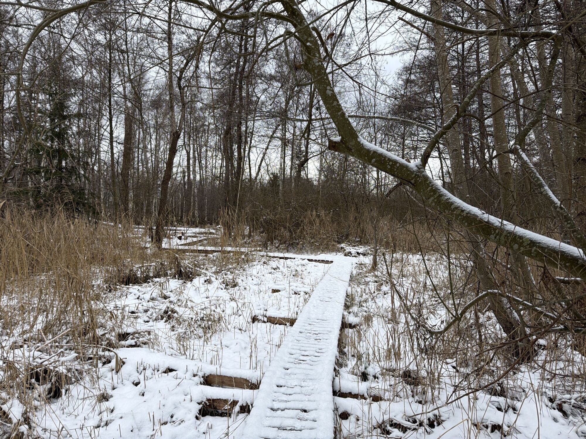

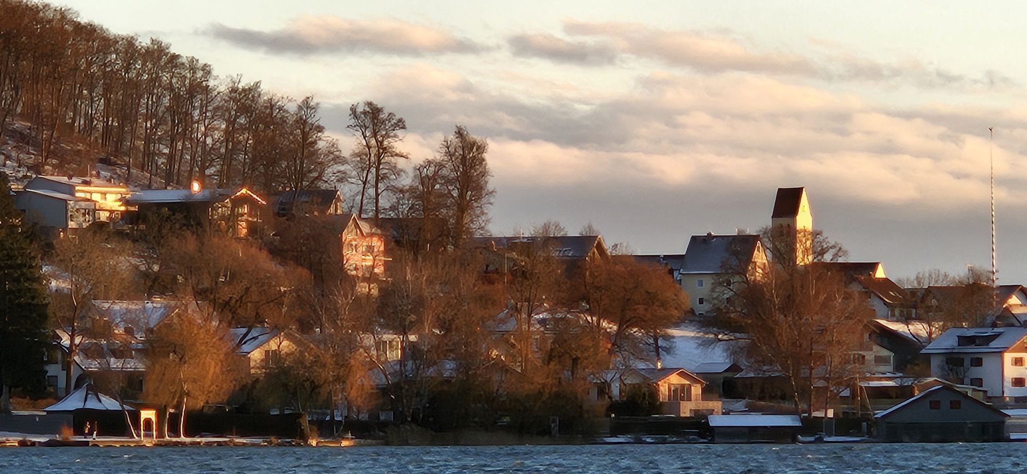
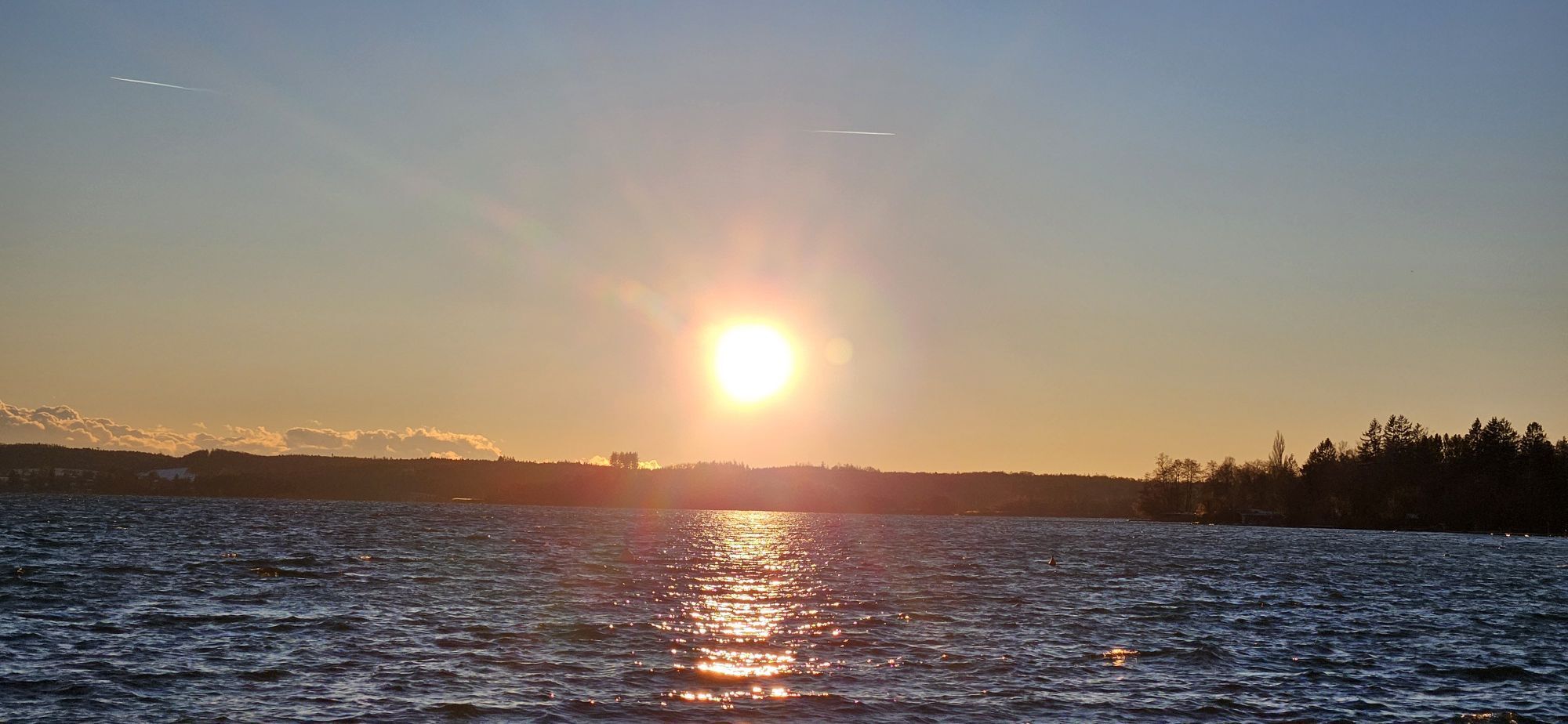
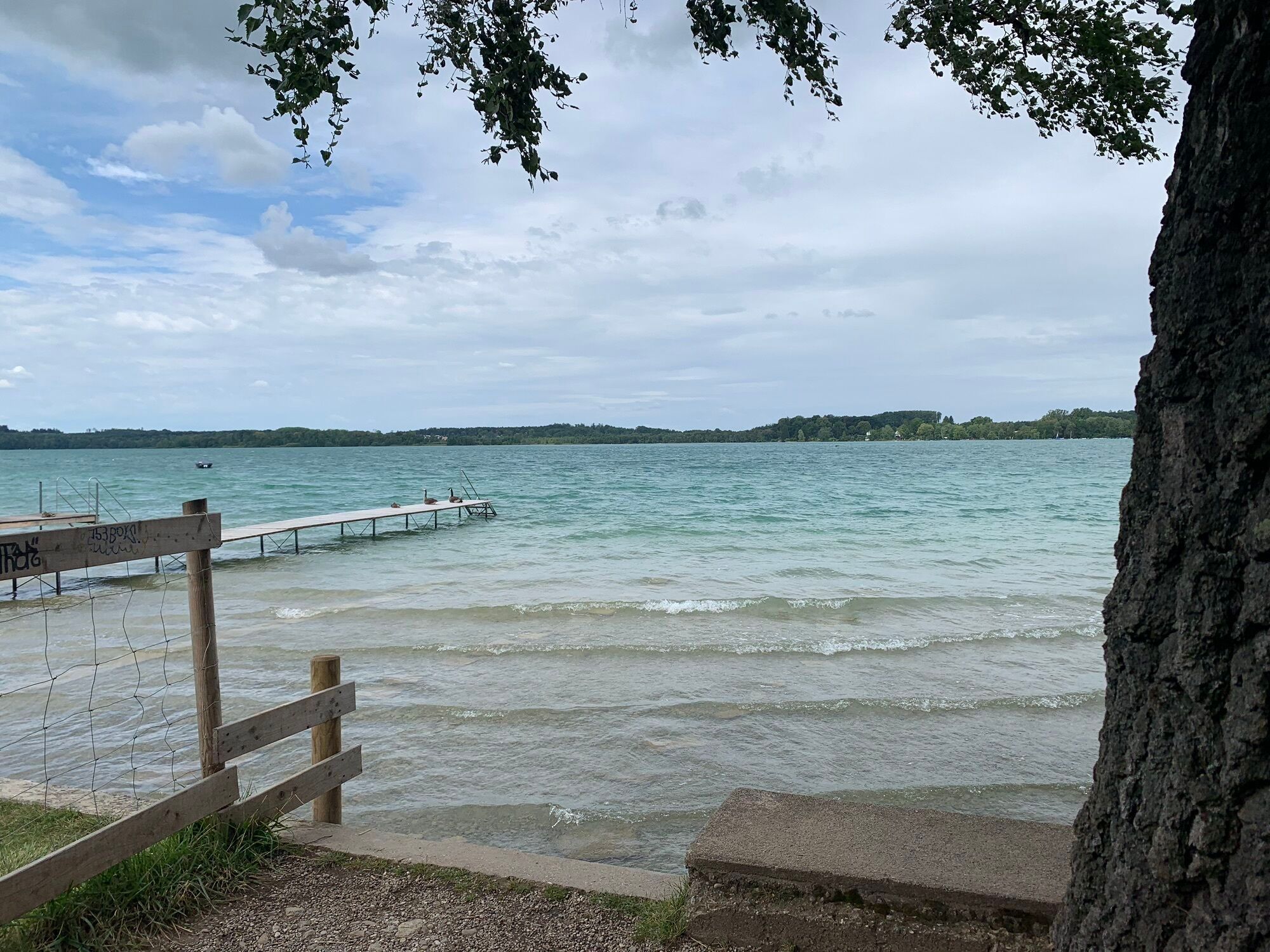
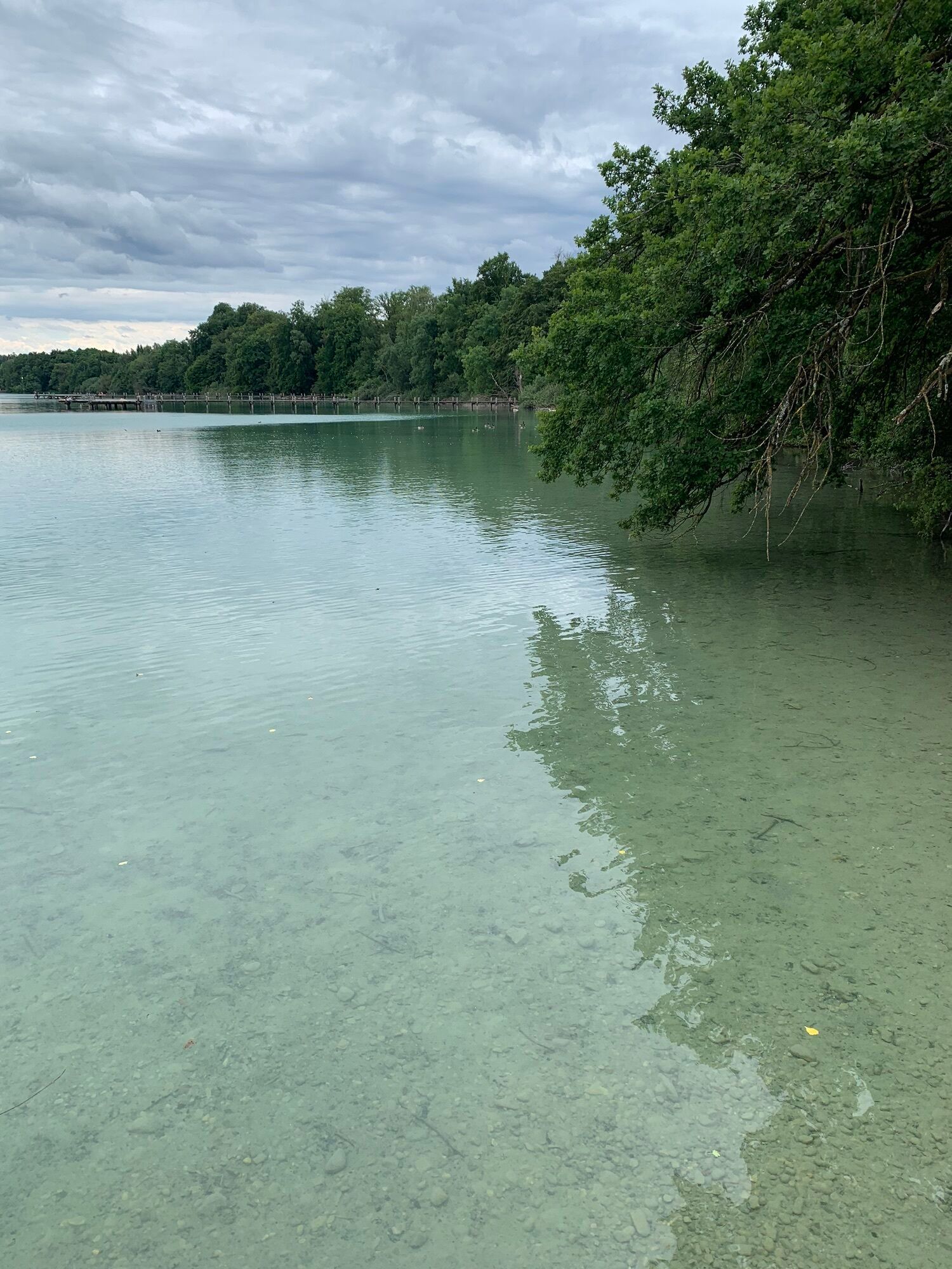
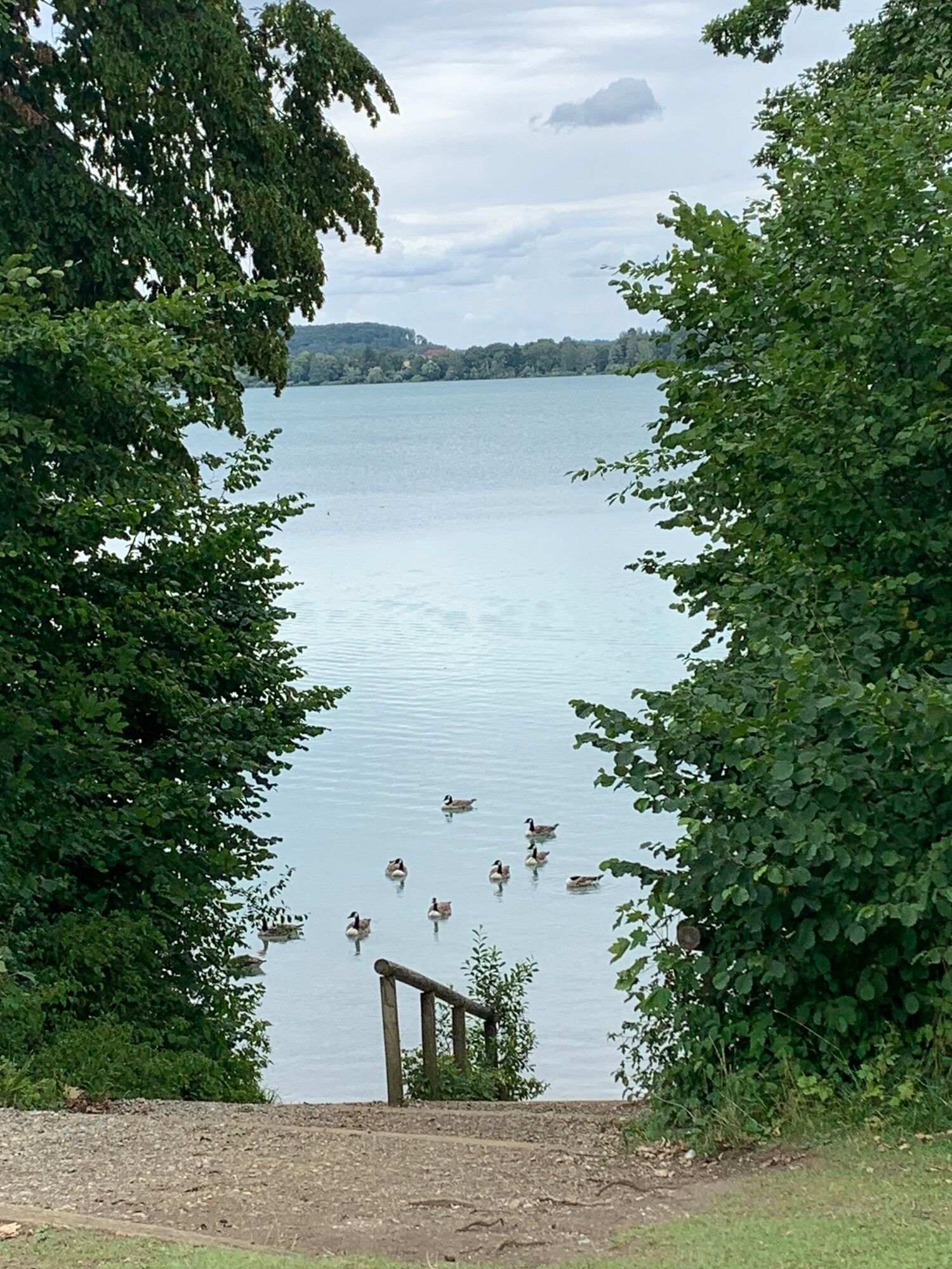
we will be walking around the Worthsee starting in the parking area right outside the Campingplatz am Worthsee. This walk is a bit longer at 11.3 Km, but only 59 Hm and should take around 2.5 hours. When...
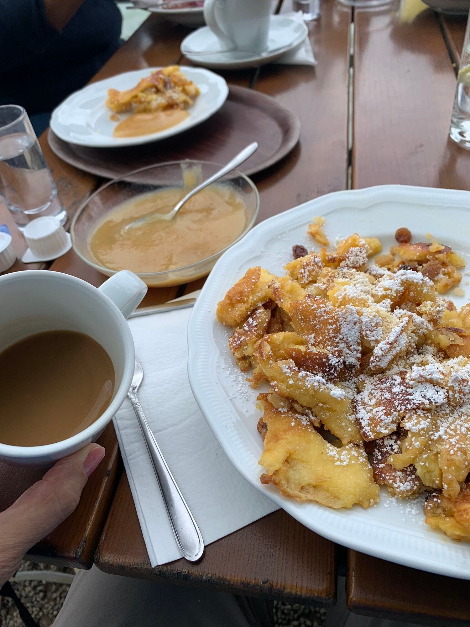
we will be walking around the Worthsee starting in the parking area right outside the Campingplatz am Worthsee. This walk is a bit longer at 11.3 Km, but only 59 Hm and should take around 2.5 hours. When we are finished we can grab a bite to eat at Paradieswinkel Gasthof Woerl located right next to our parking area. There should still be time to make it back for early dismissal.
We will not meet at MIS, so please meet at the start of the hike at 9:45 in the parking lot located at:

Wörthseestraße 12
82229 Seefeld
maps.app.goo.gl/khs1saLenES4Xdh7A?g_s...
Water and snacks
Wörthseestraße 12
82229 Seefeld
maps.app.goo.gl/khs1saLenES4Xdh7A?g_s...
Wörthseestraße 12
82229 Seefeld
maps.app.goo.gl/khs1saLenES4Xdh7A?g_s...
Rutas populares en los alrededores
-
3,8
Rundweg von Herrsching zum Kloster Andechs
Senderismo 9,43 km -
3,5
Radweg um den Ammersee
luzCiclismo 47,5 km -
4,0
Wörthsee-11-km
luzSenderismo 11,1 km -
3,3
Rundweg durch die Maisinger Schlucht
Senderismo 8,86 km -
4,5
Kleine Wanderung Maisinger Schlucht
luzSenderismo 9,02 km -
4,0
5 Seen Runde, Starnberger See, Kloster Andechs, Herrsching, Pilsensee, Wörthsee, Possenhofen
luzMountainbike 63,0 km -
4,0
Herrsching, Breitbrunn und zurück über die Felder
medioSenderismo 14,3 km -
4,0
Ammersee Umrundung
medioSenderismo 55,1 km -
5,0
Rundkurs Wörthsee - von Inning am Ammersee, Bayern
luzCiclismo 16,4 km -
5,0
Von Schondorf nach Herrsching
medioSenderismo 18,2 km

Senderismo y rastreo


No se pierda las ofertas y la inspiración para sus próximas vacaciones
Su dirección de correo electrónico se ha añadido a la lista de correo.