


Etappe 2: Alpina Antica Trail | ET2 Aschau i.Ch./Gschwendt - Priener Hütte/Geigelstein
Nivel de dificultad: T3
Fotos de nuestros usuarios
-
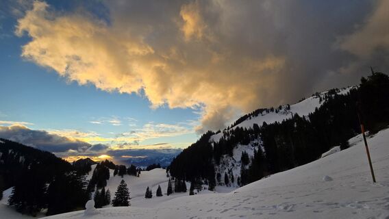
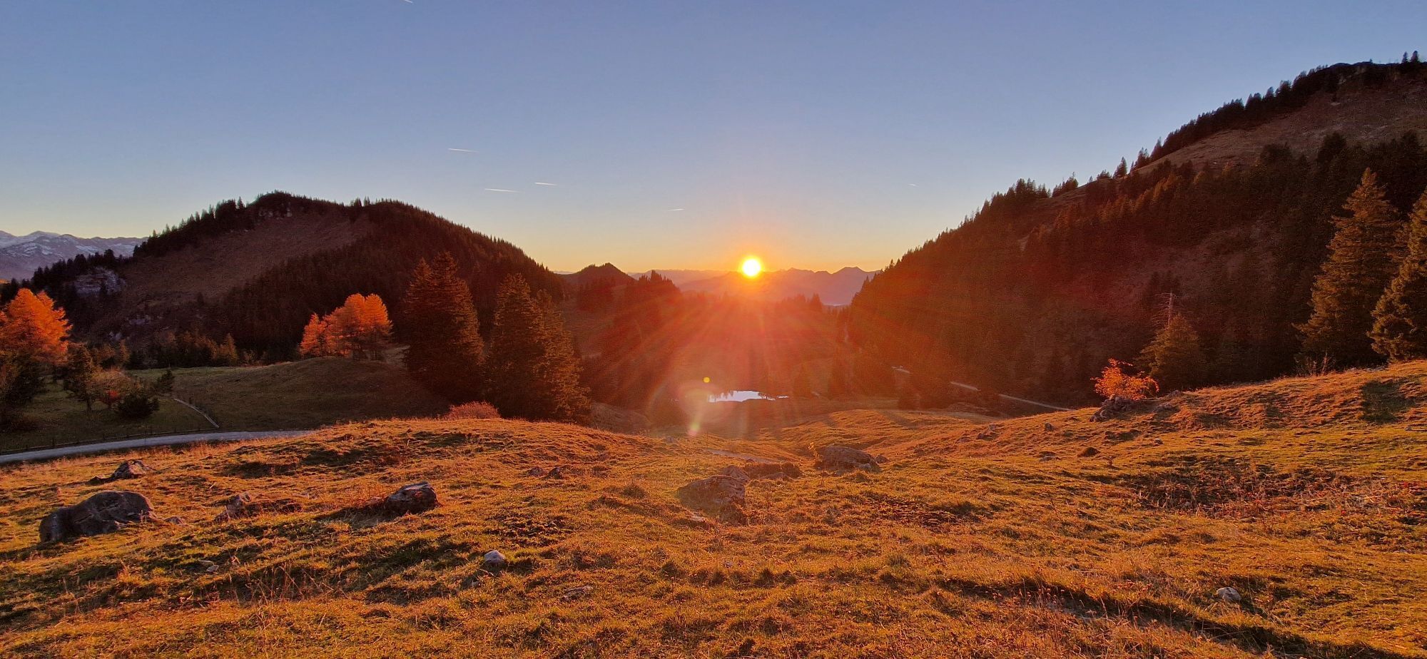
 © Markus WältlCreado el 03.05.2026
 -

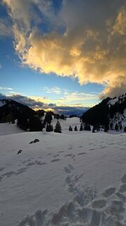
 © JuleonCreado el 27.04.2026
 -
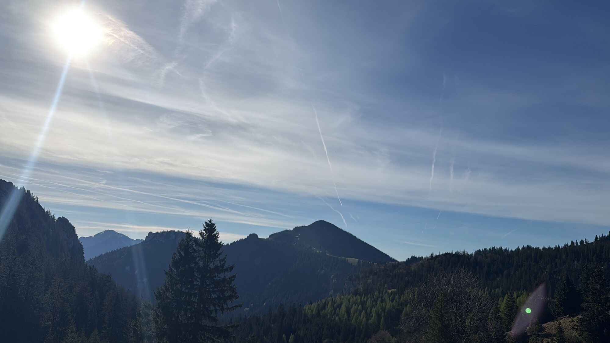
 © Bernie HaberlCreado el 07.11.2025
 -
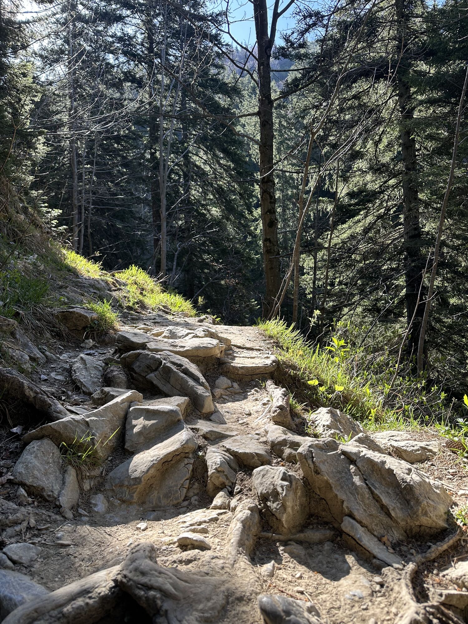
 © Bernie HaberlCreado el 07.11.2025
 -
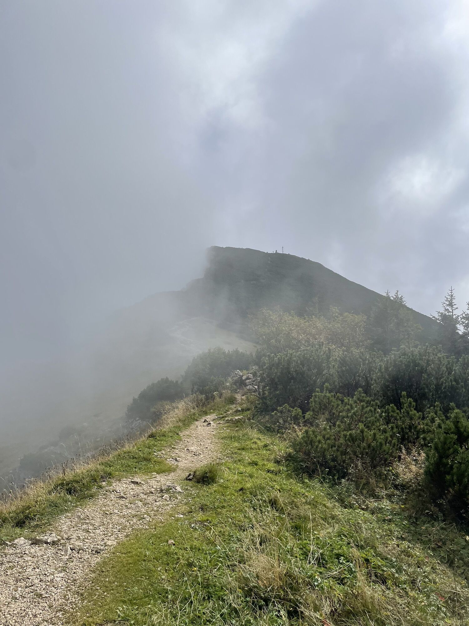
 © MartinCreado el 13.09.2025
 -
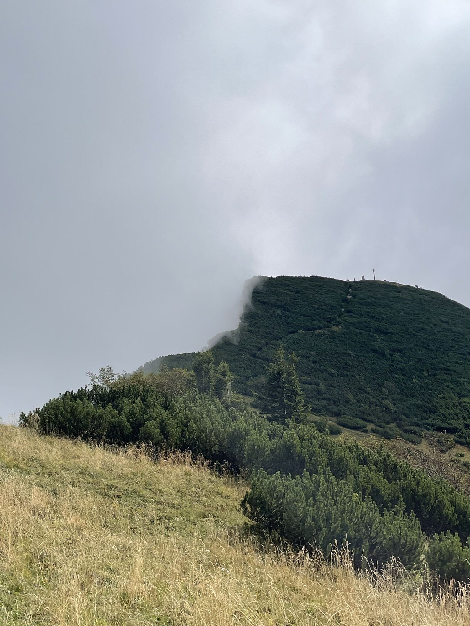
 © MartinCreado el 13.09.2025
 -
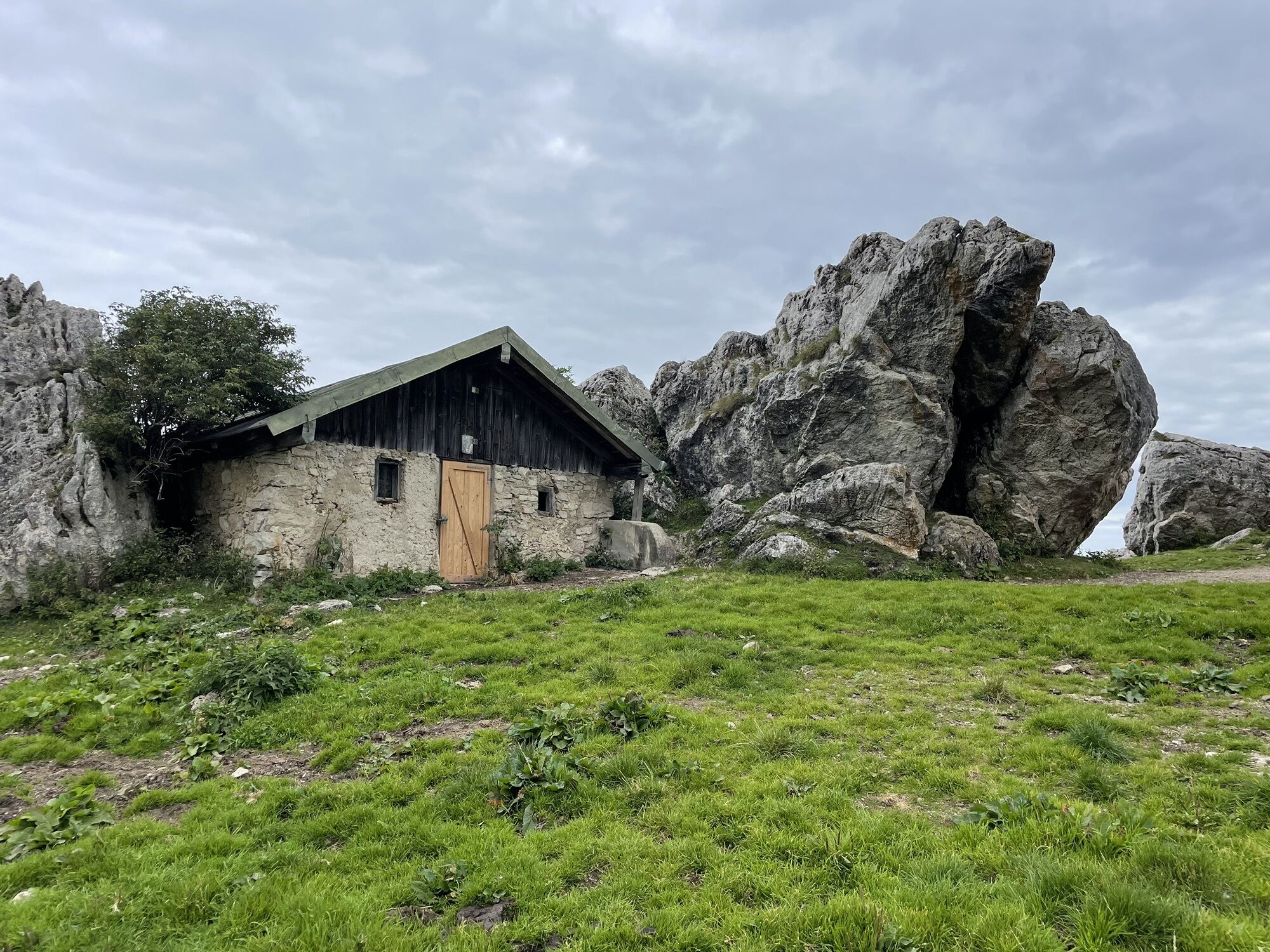
 © MartinCreado el 13.09.2025
 -
 © Julia RabeCreado el 09.09.2025
 -

 © Amalie EnglmannCreado el 27.08.2025
 -
 © Amalie EnglmannCreado el 27.08.2025
 -
 © Amalie EnglmannCreado el 27.08.2025
 -
 © Amalie EnglmannCreado el 27.08.2025
 -
 © Amalie EnglmannCreado el 27.08.2025
 -
 © Amalie EnglmannCreado el 27.08.2025
 -
 © Amalie EnglmannCreado el 27.08.2025
 -
 © Amalie EnglmannCreado el 27.08.2025
 -
 © Amalie EnglmannCreado el 27.08.2025
 -
 © Amalie EnglmannCreado el 27.08.2025
 -

 © Florian Neumann 1Creado el 25.08.2025
 -
 © Florian Neumann 1Creado el 25.08.2025
 -
 © Florian Neumann 1Creado el 25.08.2025
 -
 © answer57Creado el 01.07.2025
 -
 © answer57Creado el 01.07.2025
 -
 © Philipp Hanke 1Creado el 22.06.2025
 -
 © Philipp Hanke 1Creado el 22.06.2025
 -
 © Philipp Hanke 1Creado el 22.06.2025
 -
 © Philipp Hanke 1Creado el 22.06.2025
 -
 © Ronny göbelCreado el 17.06.2025
 -
 © Ronny göbelCreado el 17.06.2025
 -
 © Valentin Baumgartner 1Creado el 09.06.2025
 -
 © Valentin Baumgartner 1Creado el 09.06.2025
 -
 © Pascal DeppeCreado el 30.05.2025
 -
 © Pascal DeppeCreado el 30.05.2025
 -
 © Pascal DeppeCreado el 30.05.2025
 -
 © Pascal DeppeCreado el 30.05.2025
 -
 © Pascal DeppeCreado el 30.05.2025
 -
 © Markus WältlCreado el 22.04.2025
 -
 © Ralf UmmingerCreado el 18.04.2025
 -
 © Lars VogelbeinCreado el 08.03.2025
 -
 © Lars VogelbeinCreado el 08.03.2025
 -
 © Lars VogelbeinCreado el 08.03.2025
 -
 © Lars VogelbeinCreado el 08.03.2025
 -
 © Lars VogelbeinCreado el 08.03.2025
 -
 © EddoerrCreado el 27.02.2025
 -
 © se_muckCreado el 11.01.2025
 -
 © se_muckCreado el 11.01.2025
 -
 © se_muckCreado el 11.01.2025
 -
 © se_muckCreado el 26.12.2024


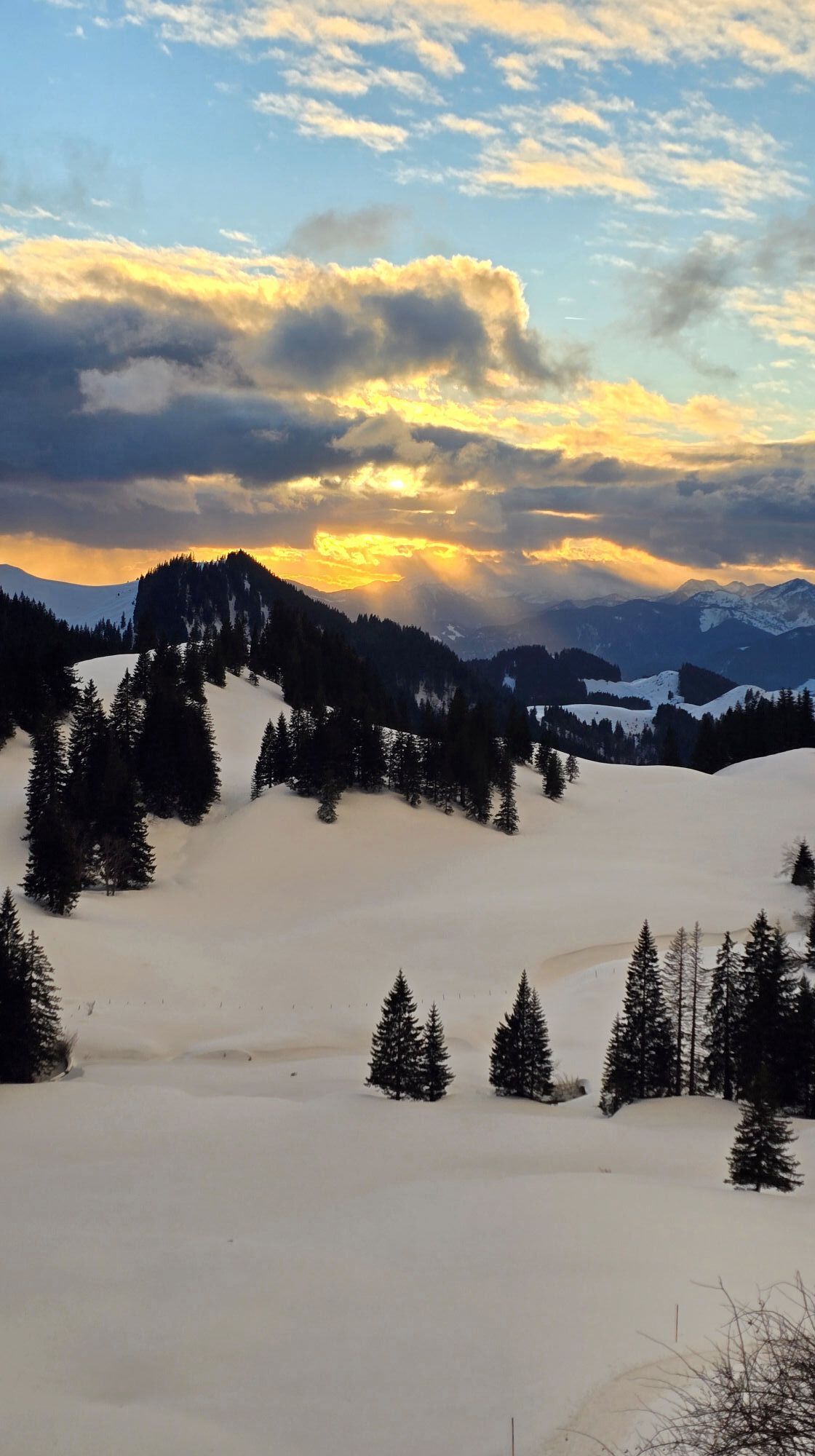
First main stage – Part 1: a long traverse of the Chiemgau Alps, past the famous Kampenwand, to the wonderfully run Priener Hütte
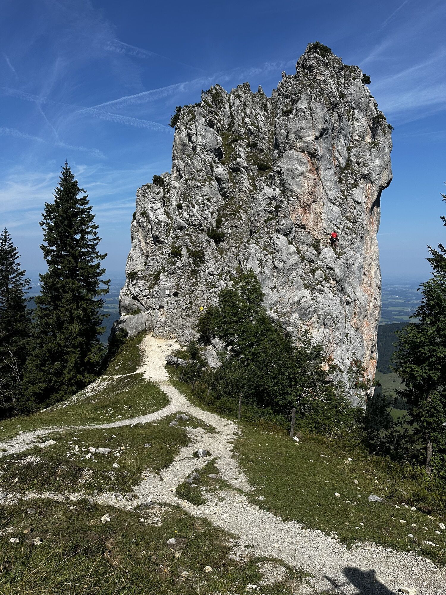
The Kampenwand is probably one of the most famous peaks in the Bavarian...
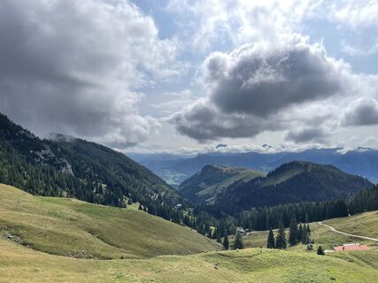
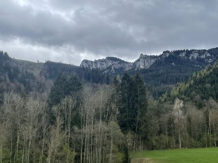
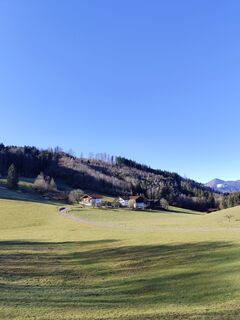
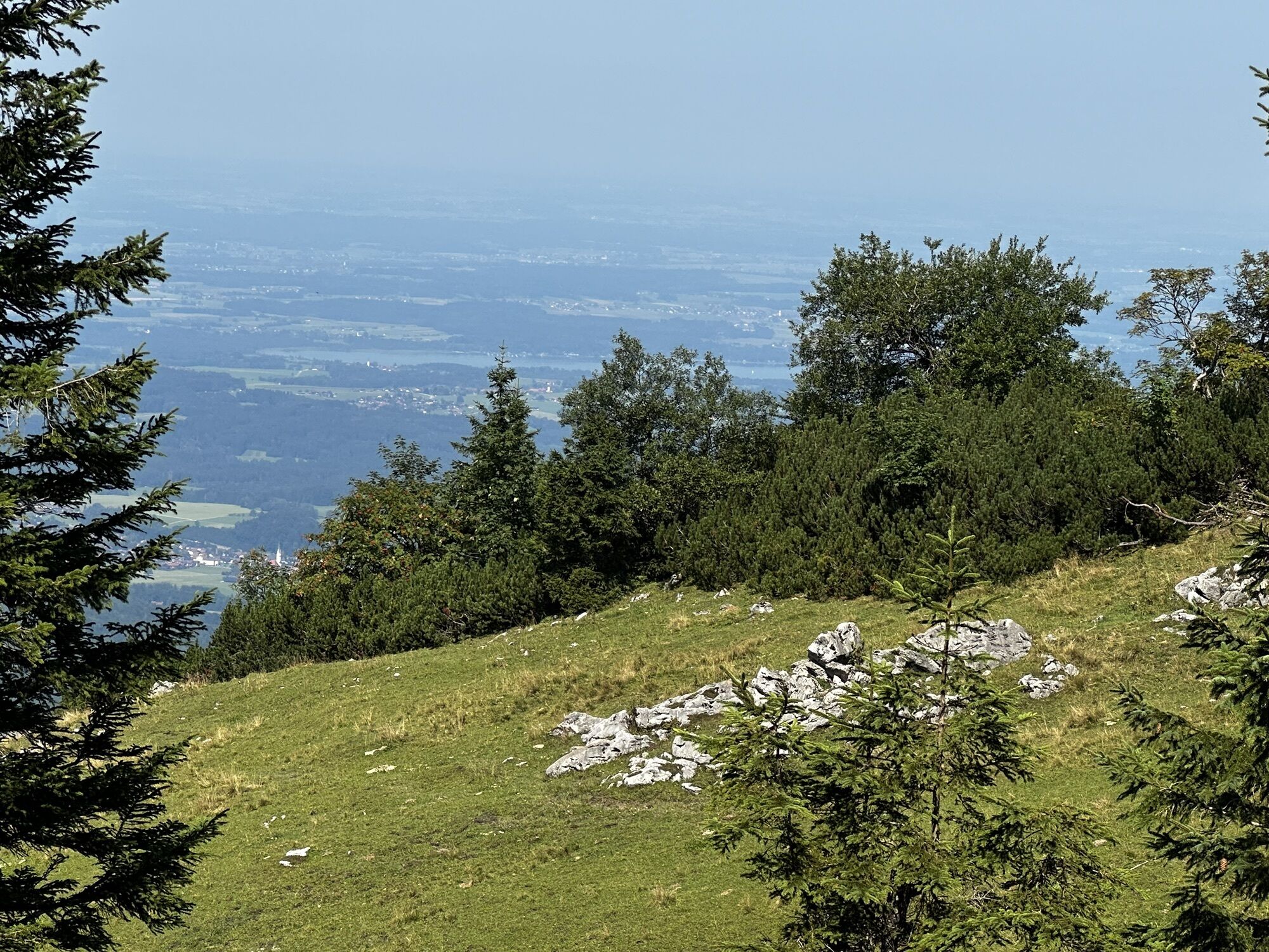
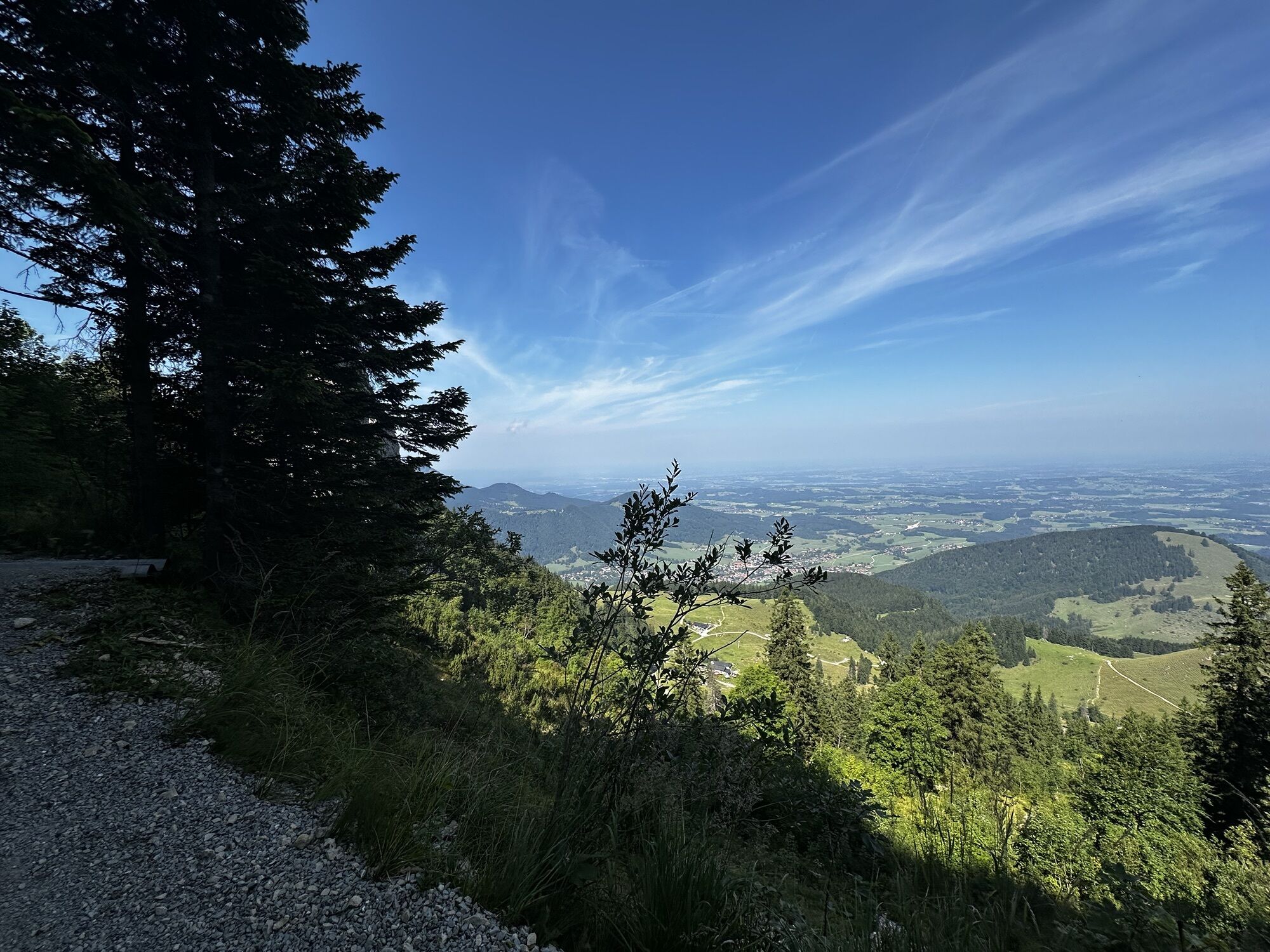
The Kampenwand is probably one of the most famous peaks in the Bavarian Alps: its rocky summits rise like a rooster’s comb above the Bavarian Alpine foothills – anyone who has travelled on the motorway between Munich and Salzburg will have caught a glimpse of it. And the Kampenwand is practically the gateway to the tranquillity of the Chiemgau Alps: whilst the first section to the Kampenwandbahn mountain station at the foot of the rocky summit structure still runs through a bustling alpine pasture landscape with plenty of places to stop for refreshments, from there on it’s nothing but pure nature on your onward route over the 1,615 m high Weitlahnerkopf to the excellently run Priener Hütte (1,410 m). You’ll be hiking through the mountains the whole time, which requires sufficiently good weather conditions. But even back in the days of the mountain trade, it was often necessary to take the mountain route when the path through the valley was impassable for one reason or another. For you as a hiker, this is a wonderful advantage – because on this marvellous second stage of the Alpina Antica Trail, you’ll find yourself right in the heart of the mountains.

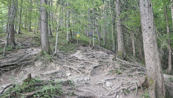
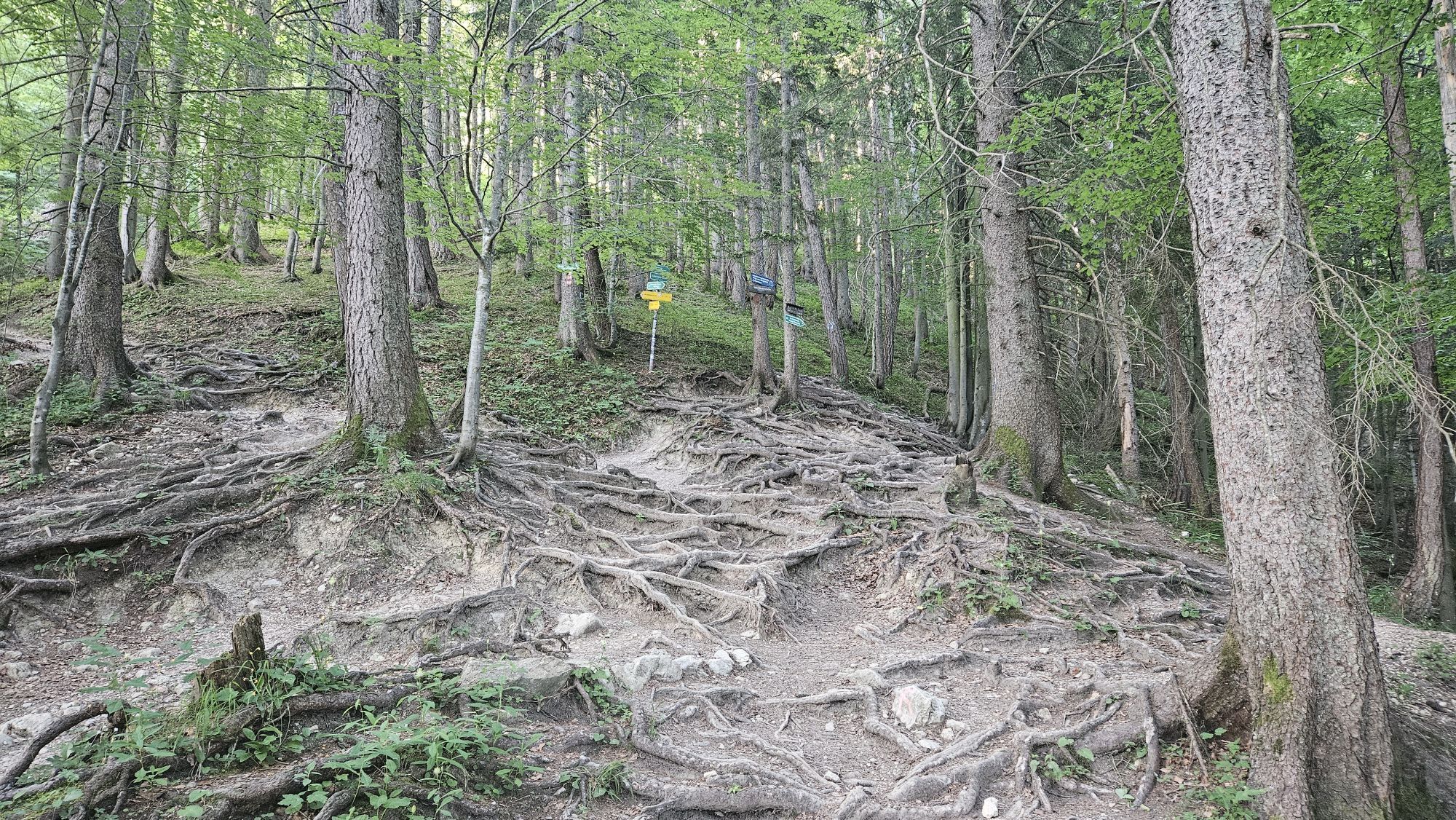
After a short while, you’ll rejoin the forest track, which you’ll follow to the left. Soon, at a fork in the path, a forest track branches off to the right, serving as a pleasant shortcut and bringing you back onto the forest road a little later. Shortly afterwards, another small forest path leads uphill to the left. The path crosses another forest road and then continues through the mountain forest on paths that are partly root-covered and quite muddy when wet.
Finally, you reach another forest road, where you turn right and follow the right-hand bend uphill. Shortly afterwards, you pass the wayside shrine “Zu unserer lieben Frau”. A few minutes later, you reach a junction with several signposts. Here, keep left towards “Kampenwand via Steinlingalm”.
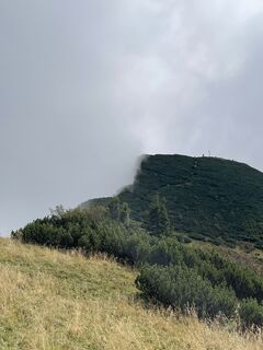
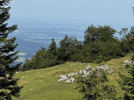
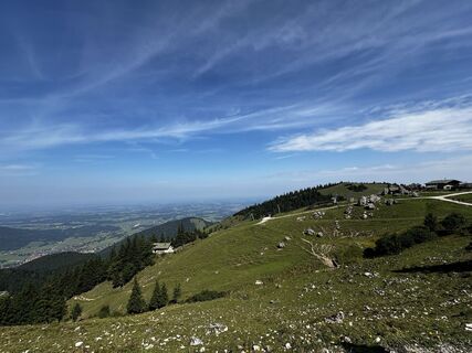
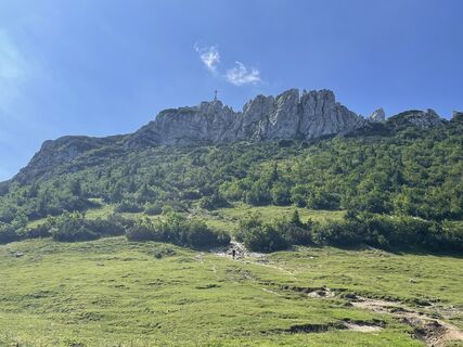
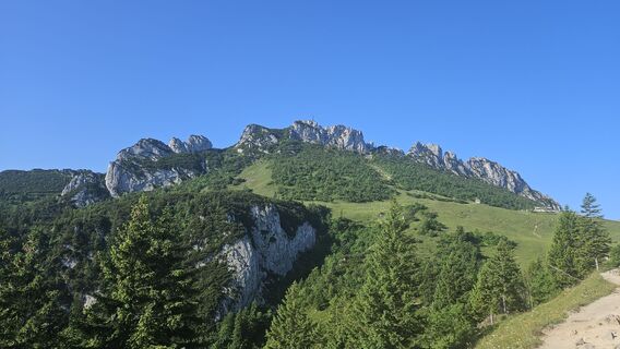
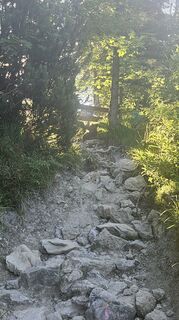
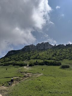
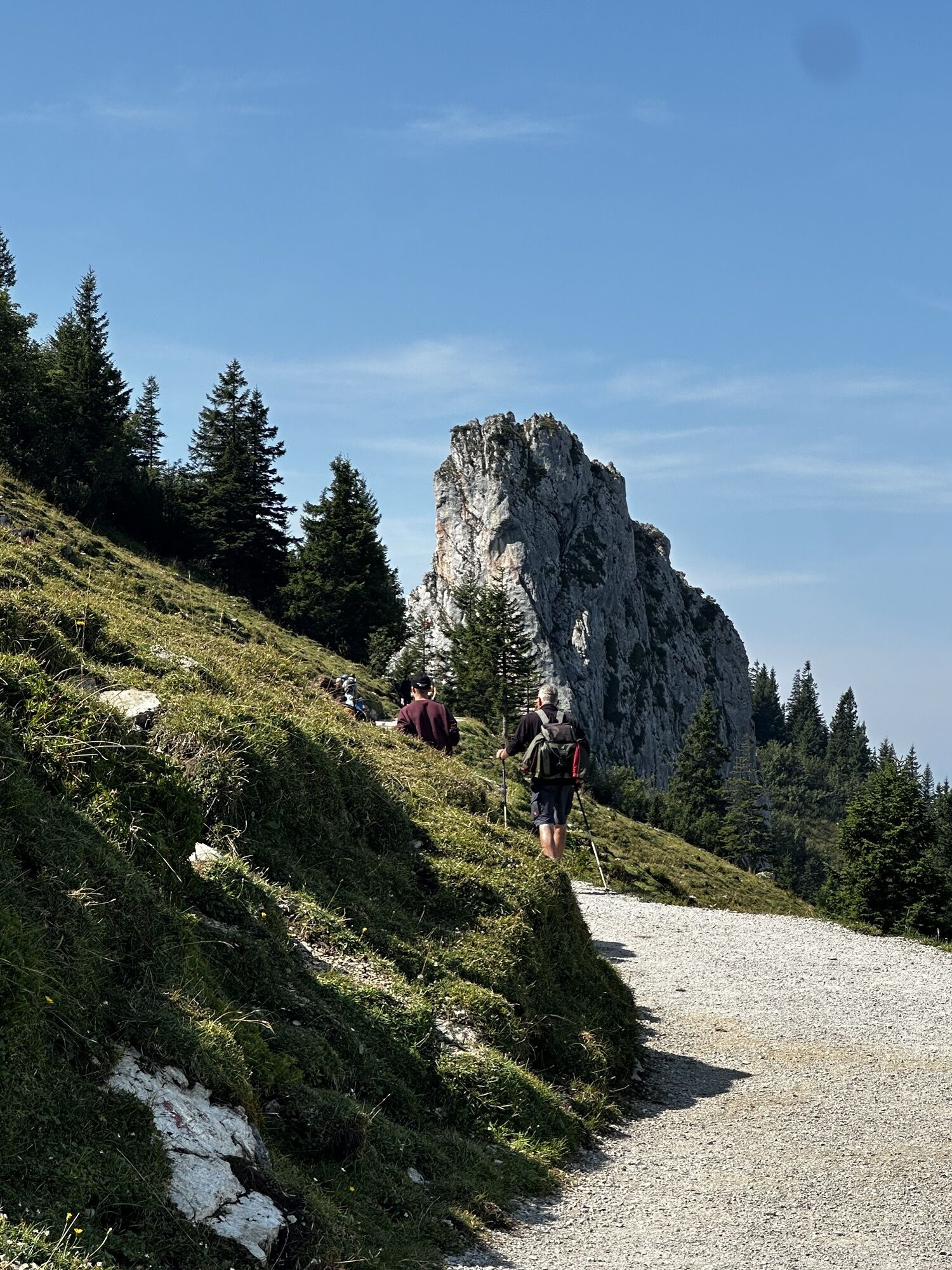
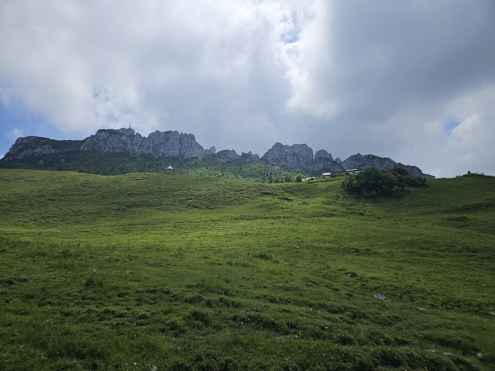
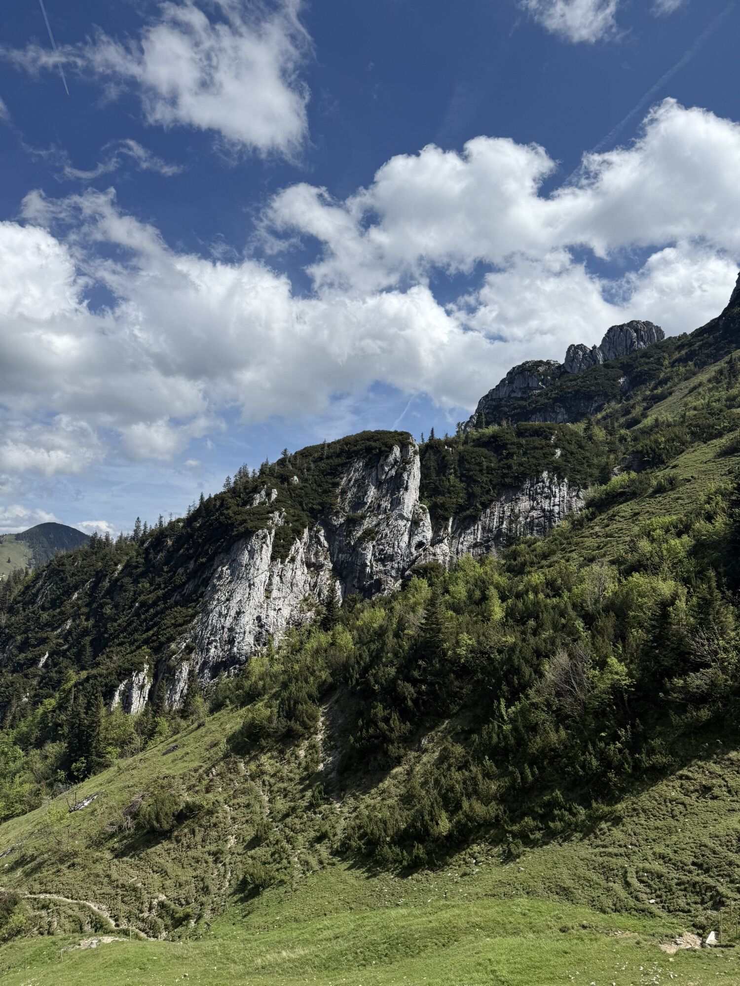
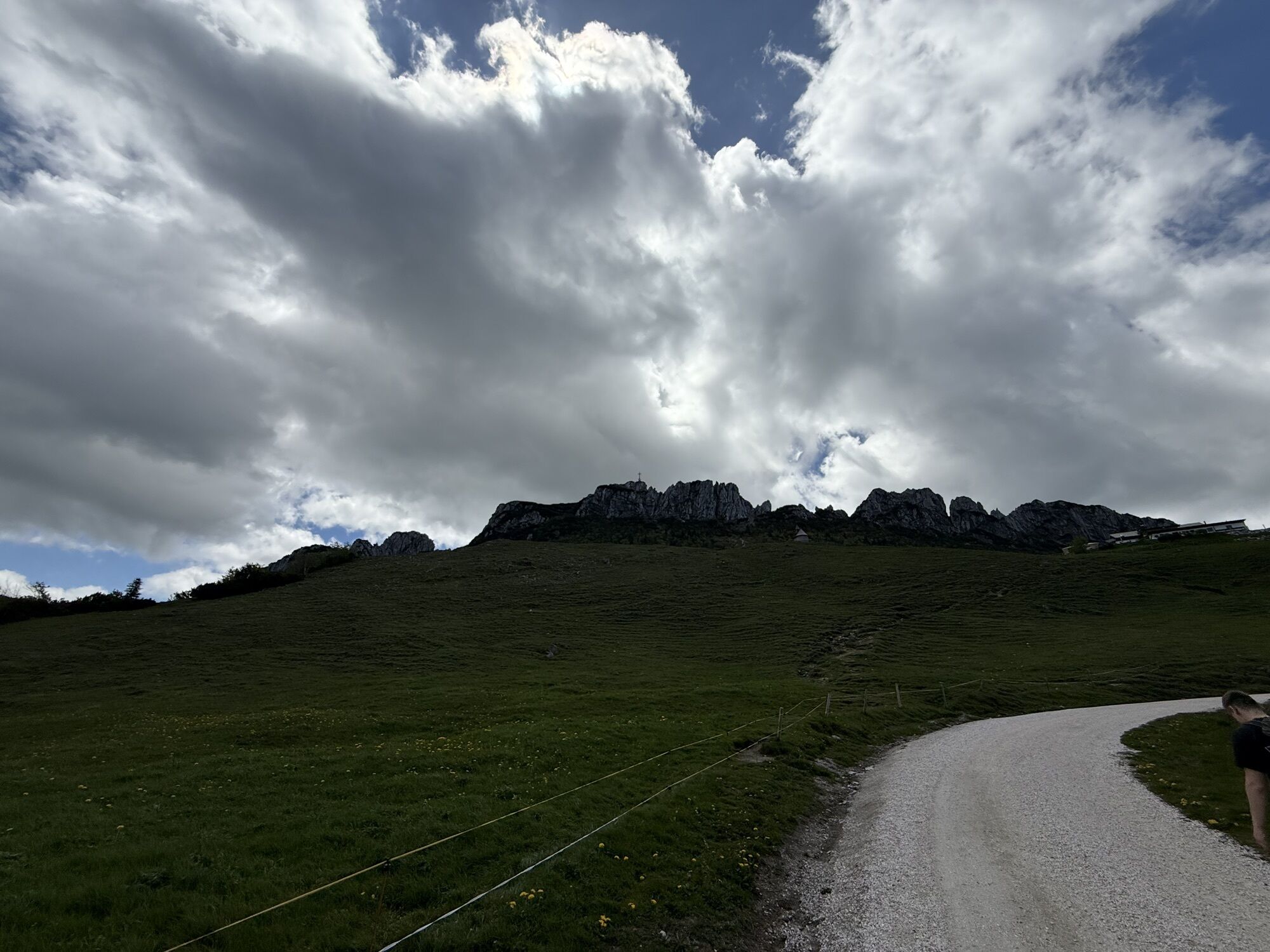
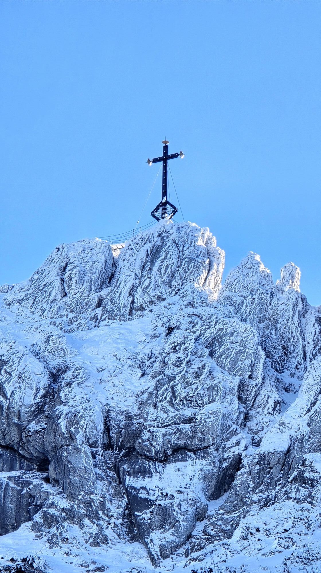
The climb now becomes significantly steeper once again. The path winds its way uphill through the mountain forest in numerous hairpin bends until you finally reach a small wooden gate. As soon as you’ve stepped over it, a beautiful clearing opens up – the Rossboden – offering the first sweeping views across the Chiemgau. After passing through another wooden gate, you continue along a narrow, stony path towards the Kampenwand. After just a few minutes, the characteristic rocky peaks of the Kampenwand rise impressively before you, whilst the Steinlingalm comes into view below on the right.
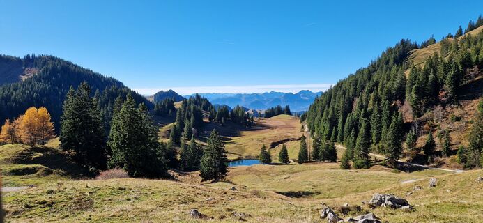
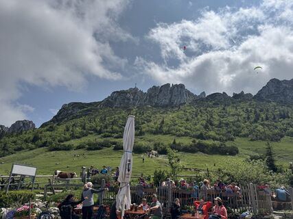
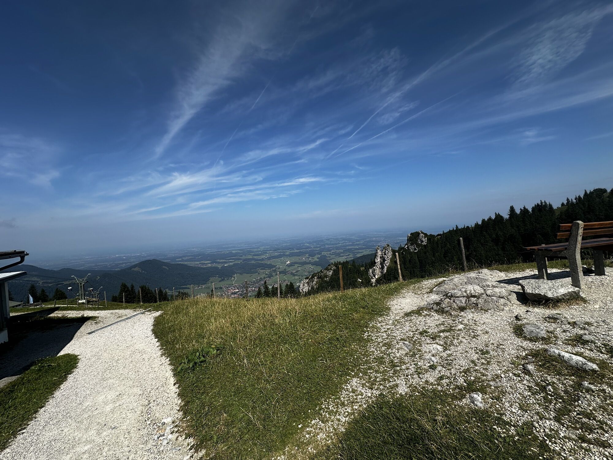
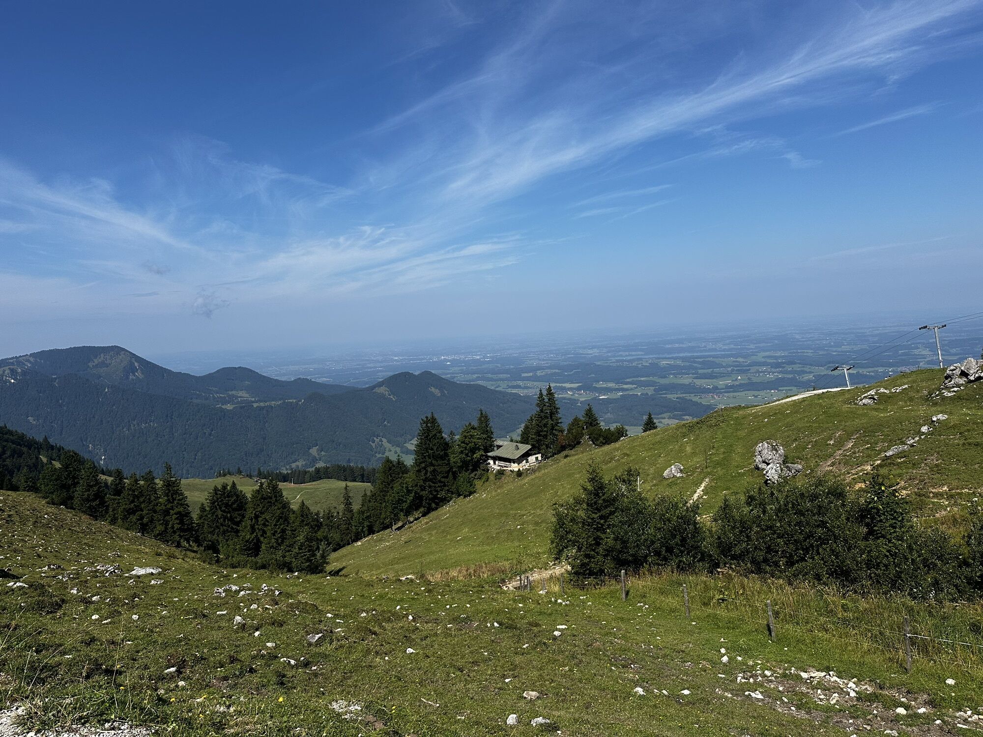
In a wide arc around the Sulten, the path eventually leads over to a track that takes you directly to the Steinlingalm. From there, follow the scenic Panoramaweg for about 15 minutes to the Sonnenalm at an altitude of around 1,470 m. After the long climb, this is an ideal spot for a rest (the next place to stop for refreshments isn’t for another three hours at the Rossalm) or even an overnight stay.
Now walk the few metres over to the top station of the Kampenwandbahn. A path on the left now leads down towards “Priener Hütte/Geigelstein” (no. 200). From here, it becomes quite secluded and you descend through beautiful woodland and meadow terrain for a good hour to the Dahlsensattel (approx. 1,050 m) (shortly after the mountain station, ignore a path leading uphill to the right). Before you reach the Dahlsensattel, you’ll come across a forest track once more. Turn briefly right here, then immediately left onto the hiking trail. Shortly afterwards, there is another fork in the path: the right-hand path takes you down to the Dahlsensattel [Note: don’t be put off by the times given for the Priener Hütte on the signposts around the Dahlsensattel – these are overestimated by about an hour in this area].
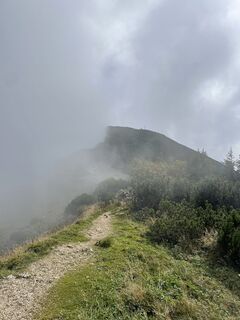
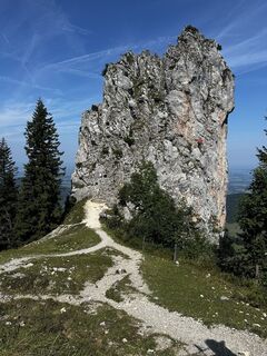
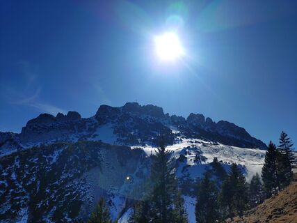
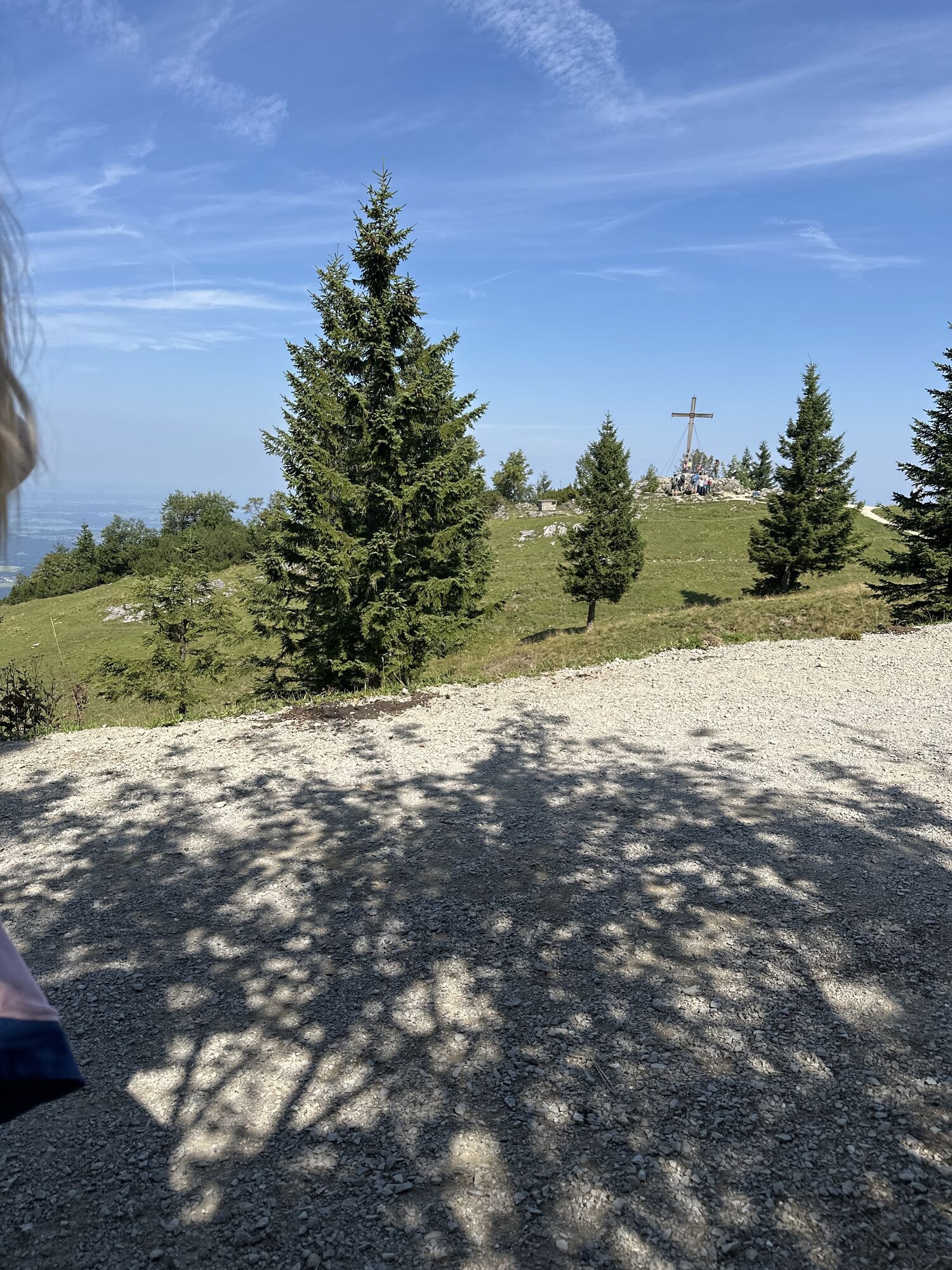
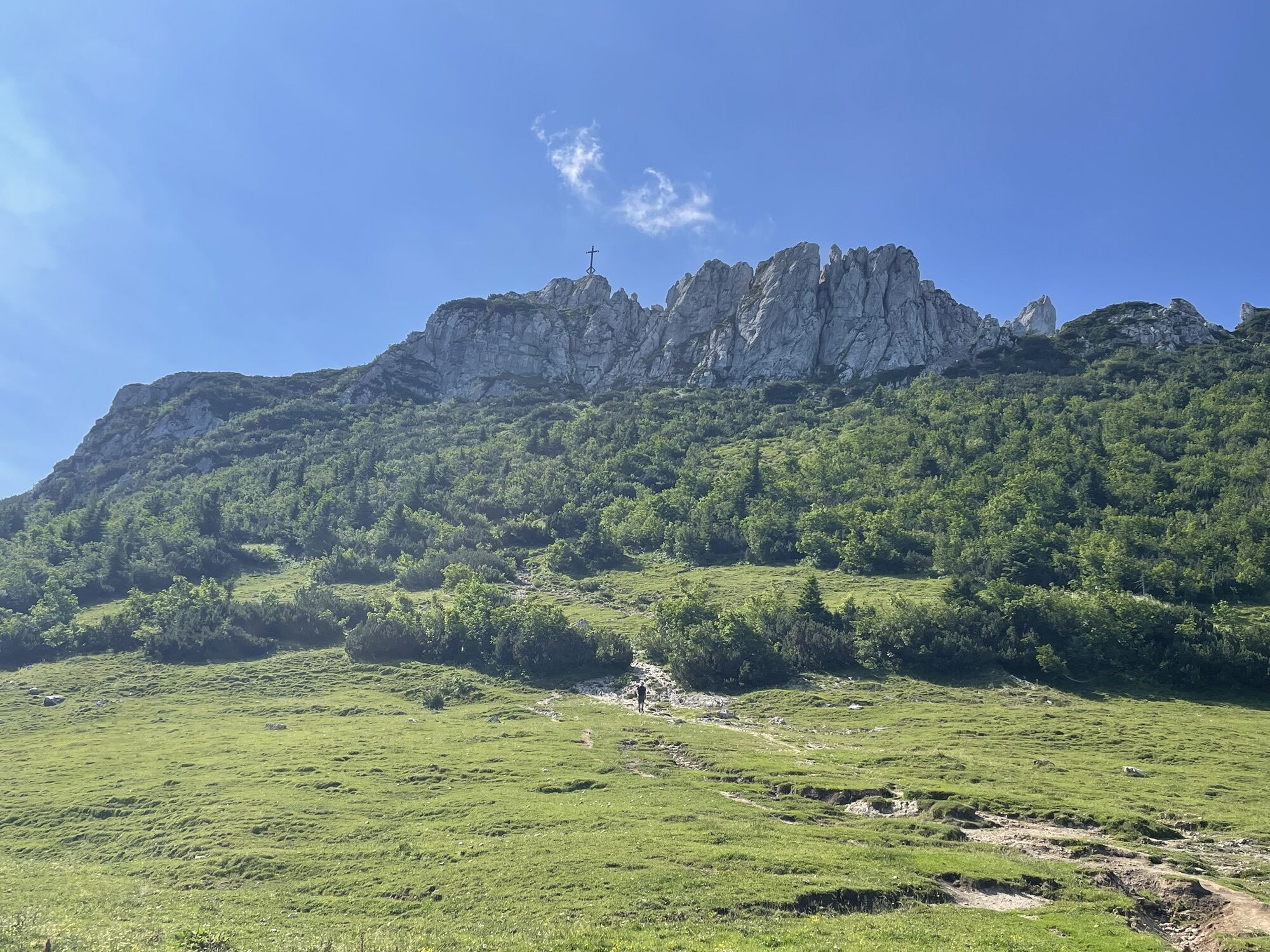
The Dahlsensattel is the lowest point between the Kampenwandbahn mountain station and the Priener Hütte. Now another long ascent begins: you’ll be climbing around 550 metres in altitude on the other side of the Dahlsensattel, starting with a gentle climb across alpine pastureland and then becoming steeper as you wind your way up through the forest to the small summit of the Weitlahnerkopf at 1,615 metres. The path is easy to walk on right up to just below the summit, but then the terrain steepens again for about 30 metres in altitude, and you’ll need to tackle this steep, somewhat rocky section with the help of handrails. Even though the trail is rightly categorised as a moderate mountain path with a red dot, sure-footedness and a head for heights are essential here!
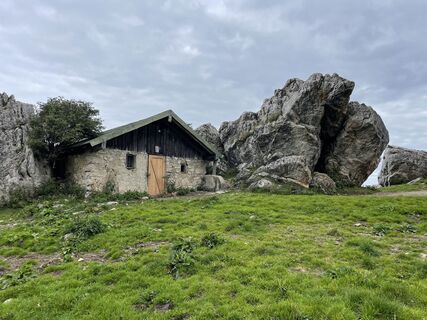
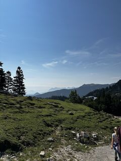
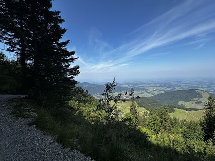
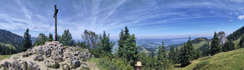
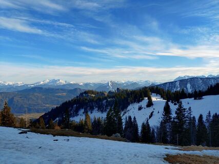
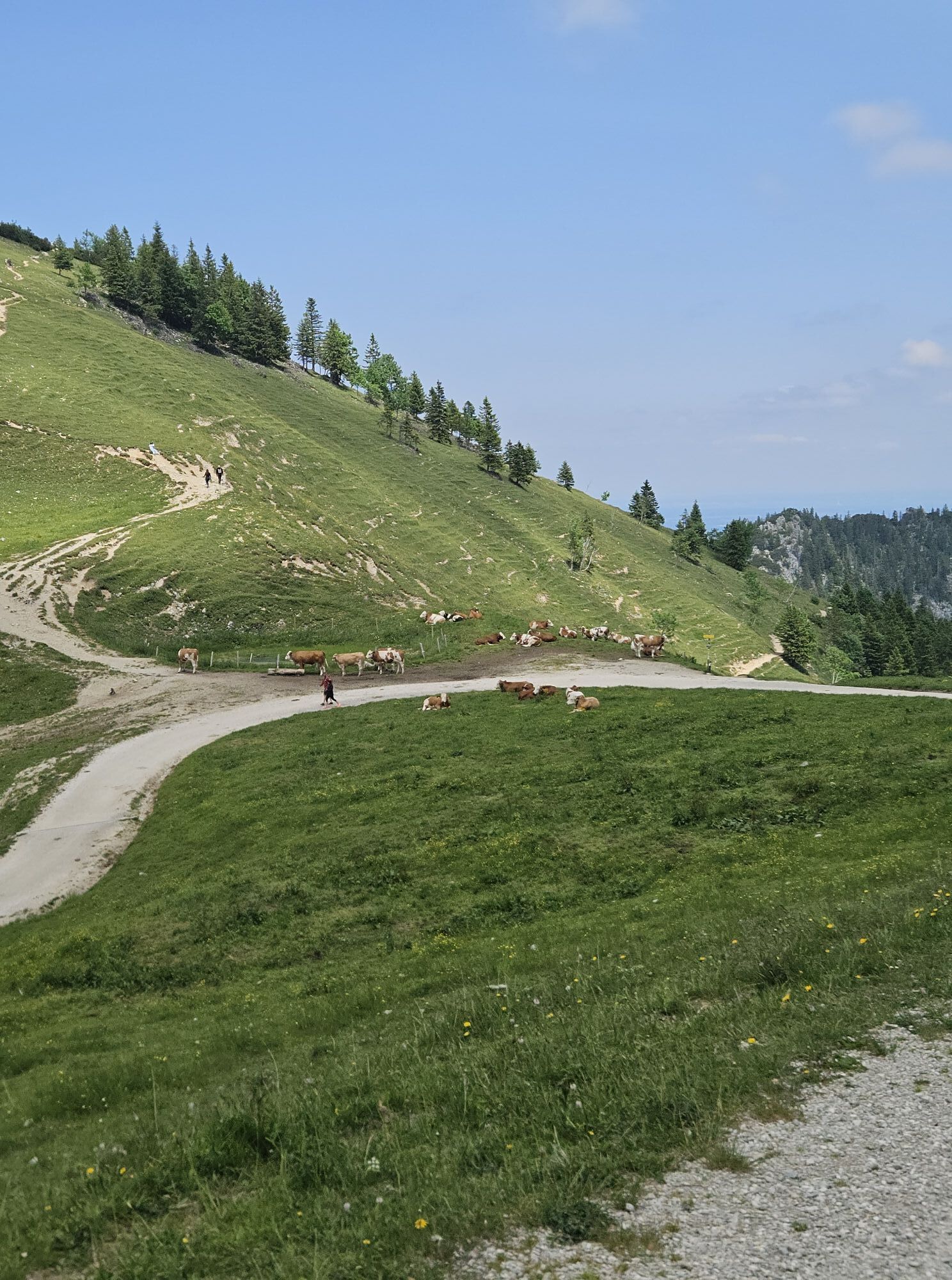
Once you reach the summit of the Weitlahnerkopf, you will have completed the most difficult section (and one of the most challenging passages on the entire Alpina Antica Trail) of this stage. Follow hiking trail no. 200 “Priener Hütte/Geigelstein” to the right across the broad, mountain pine-covered ridge or just to the left on the slope below it, reaching a very wide saddle between the Aschentaler Wände and the Rossalpenkopf. Now you climb across gentle alpine pastureland for a few minutes to the Rossalm, which is already visible from the Weitlahnerkopf – as the highest alpine pasture in the Chiemgau Alps, it is a welcome place to stop for a break amidst the vast mountain landscape.
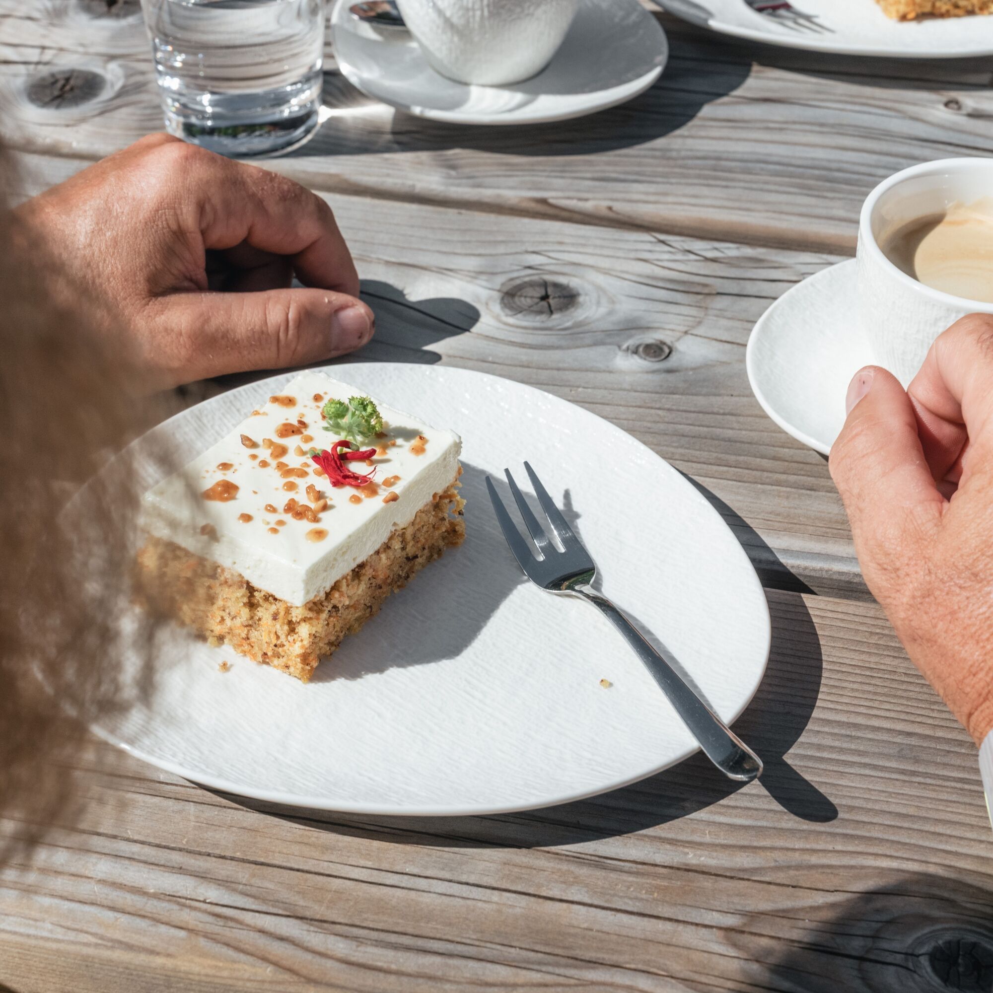
From the Rossalm, follow the markings across gentle alpine terrain for a few minutes up to a ridge below the Rossalpenkopf. Keeping to the left, you now traverse the slopes of the Rossalpenkopf along a path until you reach a saddle between this peak and the Geigelstein, which, at 1,808 m, is the highest peak in the Chiemgau Alps. From here, it’s all downhill: follow trail no. 207 “Priener Hütte” down through the cirque, past the Oberkaseralm and a mountain rescue hut, and in 40 minutes from the saddle you’ll reach the Priener Hütte, situated at 1,410 m, your destination for the day. Time to put your feet up after this strenuous stage – but look forward to it: the Priener Hütte is exceptionally well run!
The summit of the Weitlahnerkopf, which is around 30 metres high, is steep and somewhat rocky. It is secured with a number of handrails and can therefore be accessed via a ‘red mountain trail’ – but this section requires sure-footedness and a head for heights!
T3
The Geigelstein Nature Reserve was designated in 1991 to protect the area from development for ski tourism. It is one of the most valuable cultural landscapes in the Chiemgau Alps and boasts rare alpine flowers, extensive mountain forests and traditional alpine pastures.
If, instead of staying in Gschwendt/Seiserhof, you have stayed in Aschau im Chiemgau (see the author’s tip for Alpina Antica Trail Stage 01), you can either hike up to the top station of the Kampenwandbahn via one of the many hiking trails from Aschau (e.g. via the Gori and Schlechtenberg alpine pastures) or, alternatively, take the cable car up. At the cable car’s mountain station or the nearby Sonnenalm, you rejoin the original route of the Alpina Antica Trail.
Webcams del recorrido
-
Kampenwandbahn
-
Aschau im Chiemgau - Cafe Pauli
-
Märchen-Erlebnispark Marquartstein
-
Kampenwandbahn
-
Kampenwandbahn
-
Kampenwandbahn
-
Kampenwandbahn
-
Kampenwandbahn
-
Bernau am Chiemsee
-
Bernau am Chiemsee - Hittenkirchen
-
Kampenwand
-
Staffn Alm
-
Chiemseepark Bernau
-
Rottau - Hoderhof
-
Kampenwandbahn
-
Priener Hütte
-
Priener Hütte
-
Grassau
-
Bernau-Felden am Chiemsee
Rutas populares en los alrededores
-
5,0
Priener Hütte
medioSenderismo 7,99 km -
4,7
Kampenwand
medioSenderismo 4,35 km -
4,6
Geigelstein
medioSenderismo 14,5 km -
4,6
Hochgern
medioSenderismo de montaña 15,1 km -
4,5
Wanderung: Spitzstein und Altkaseralm von Sachrang
medioSenderismo 4,03 km -
4,4
Der Schmugglerweg von Kössen zum Klobenstein
luzSendero temático 7,23 km -
4,5
Samerberg - Hochries
medioSenderismo 8,97 km -
4,4
Hochgernhaus
medioSenderismo 15,1 km -
4,5
Wandertour Hochgern
medioSenderismo de invierno 14,7 km -
4,7
Kössen - Wetterfahne - Naringalm - Kössen
medioSenderismo 11,0 km
Senderismo y rastreo


No se pierda las ofertas y la inspiración para sus próximas vacaciones
Su dirección de correo electrónico se ha añadido a la lista de correo.