






Etappe 1: Alpina Antica Trail | ET1 Übersee - Aschau i.Ch./Gschwendt
Nivel de dificultad: T2
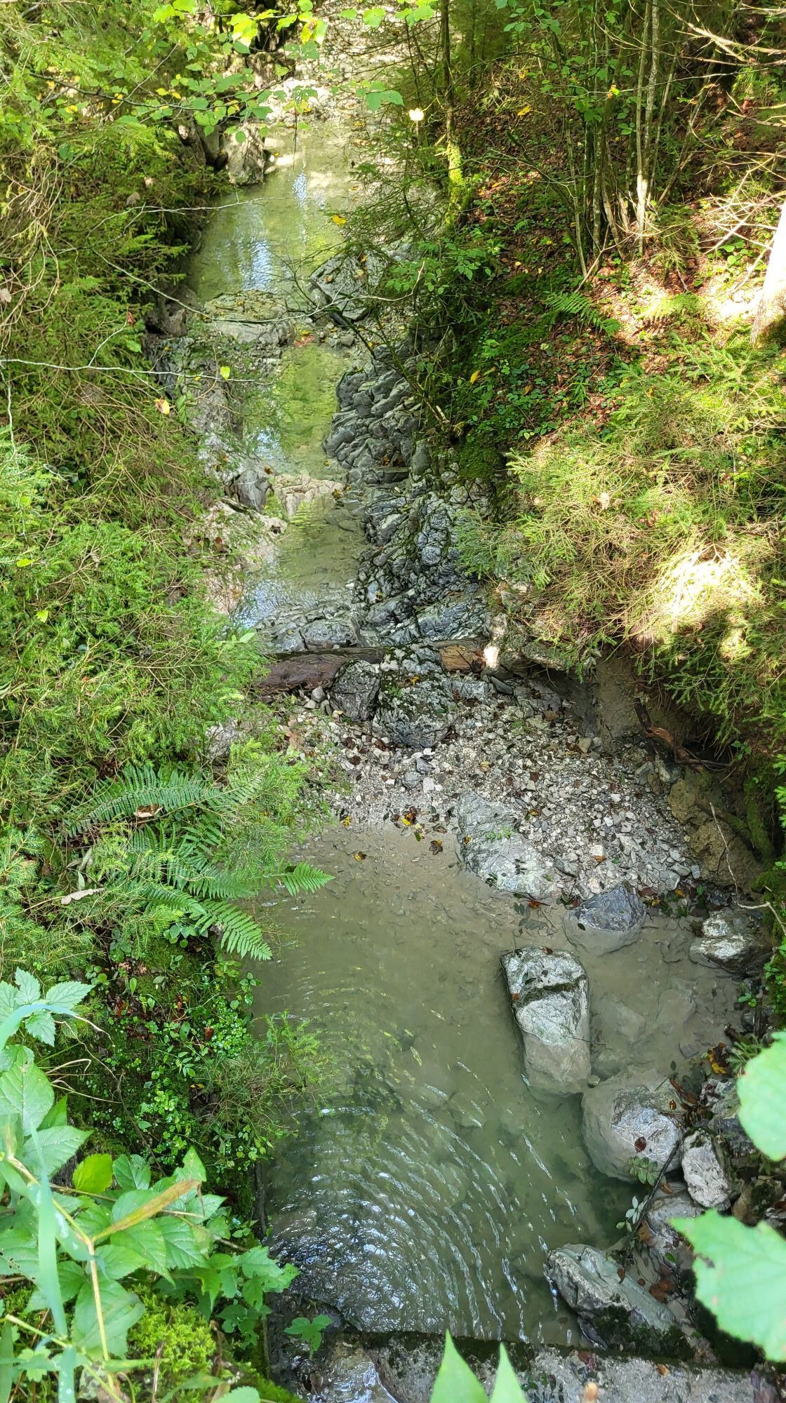
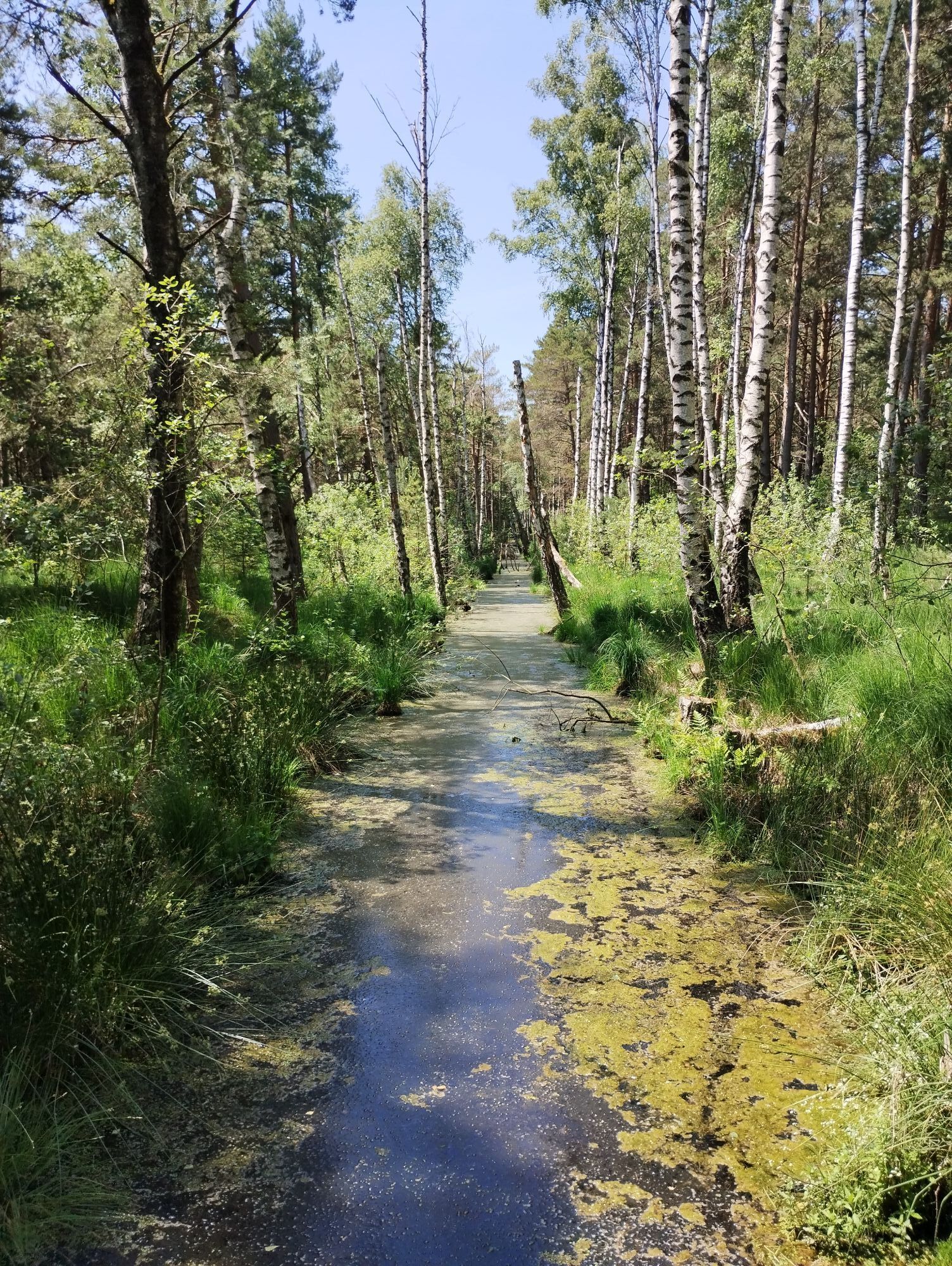
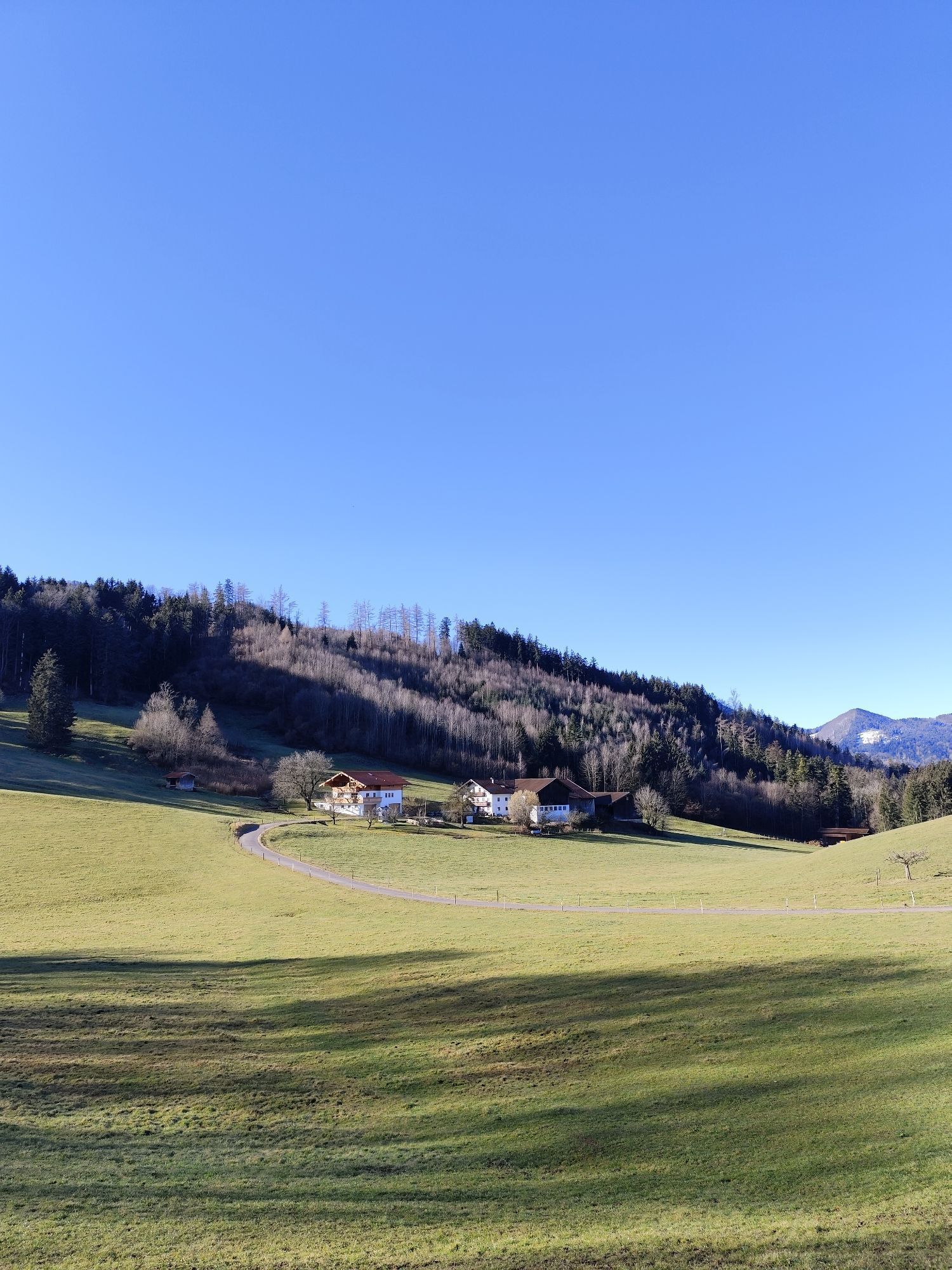
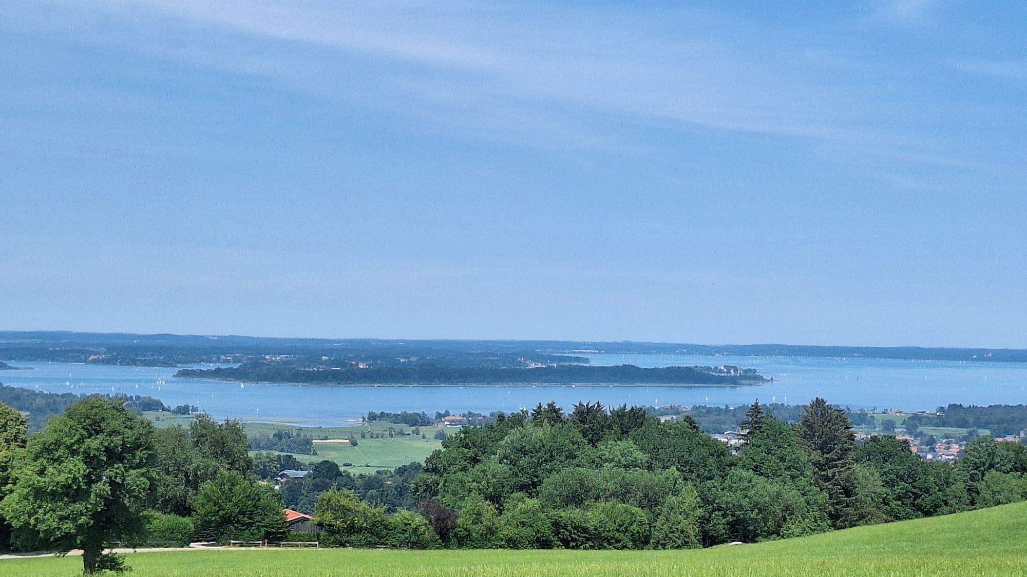
Through the Alpine foothills and past Bavaria’s largest raised bog (Kendlmühlfilzen) to the first peaks of the Chiemgau Alps and on to Gschwendt/Aschau in the Chiemgau
Lake Chiemsee – affectionately known...
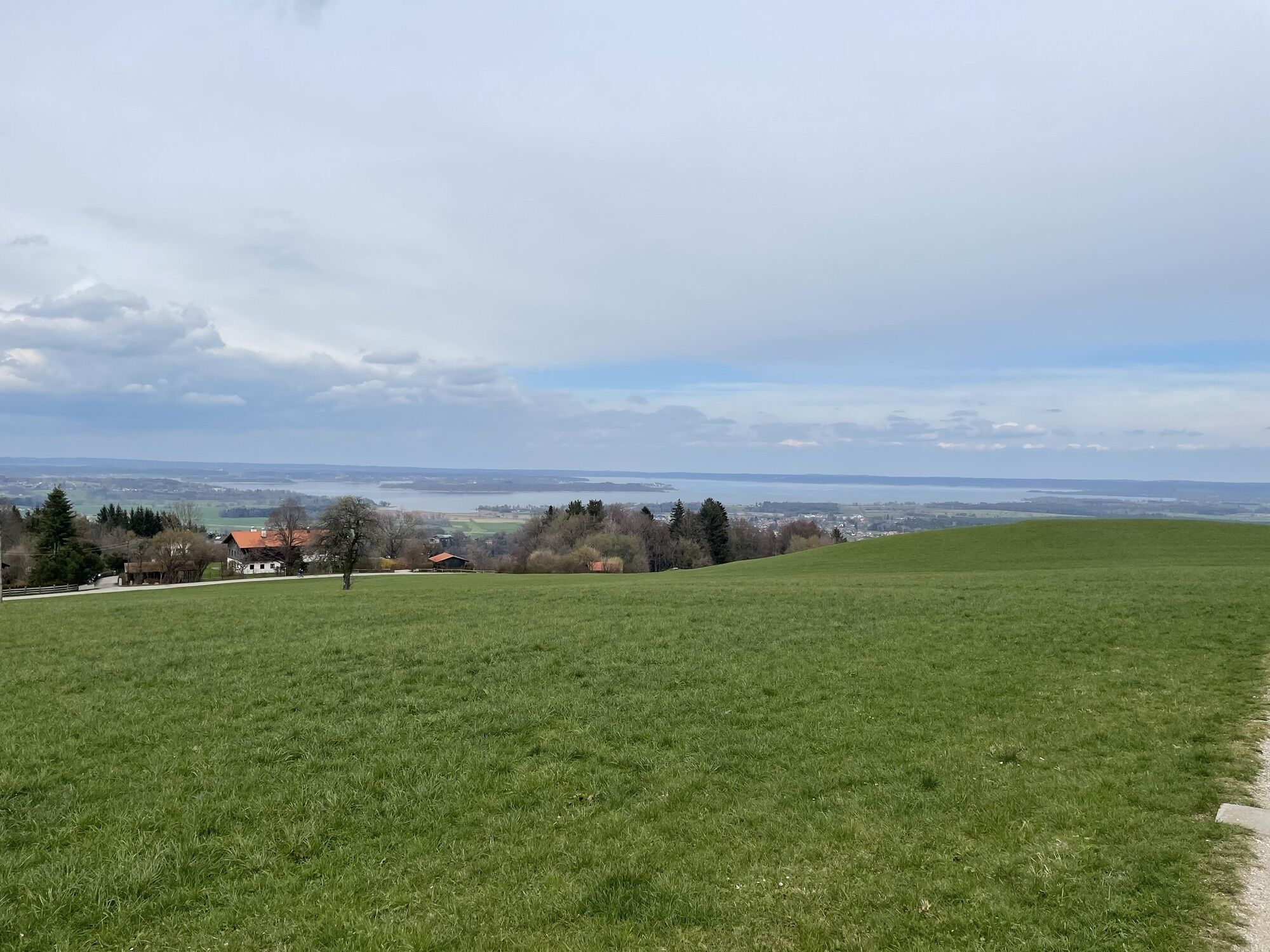
Lake Chiemsee – affectionately known by the Bavarians as the ‘Bavarian Sea’ due to its size and significance: what a fitting start to your Alpine crossing along the old mule tracks of the Alpina Antica Trail! Still situated in the lovely, gently rolling Alpine foothills, from Lake Chiemsee in the south, with the Chiemgau Alps in view, you can already see the first mountain range you will traverse on your way to Venice. Today, however, as a prelude to the journey from Übersee to Gschwendt/Aschau in the Chiemgau, ‘only’ the foothills are on the agenda. Yet they offer almost the full spectrum: Alpine pastures, waterfalls, secluded forests and hiking trails. First, however, you must traverse the not-yet-very-hilly Alpine foothills on the first part of the stage to reach the first mountains. And this offers a natural gem in a class of its own: you’ll be hiking right through the Kendlmühlfilzen raised bog, which is Bavaria’s largest contiguous raised bog area: a real treat for the eyes!
All in all, a wonderfully varied opening stage, but there’s one thing you mustn’t forget: the start of this stage – and thus of the Alpina Antica Trail – isn’t directly on the shores of Lake Chiemsee, but in the centre of the village of Übersee, 2.5 km away. We therefore strongly recommend that you walk from Übersee along the lovely path to Chiemseepark on the southern shore of the lake and back again, ideally the evening before (or, if necessary, first thing in the morning just before this stage), a journey taking a total of 1 hour 30 minutes. Then you’ll really be setting off directly from the Bavarian Sea to the Adriatic. More information on this route here.

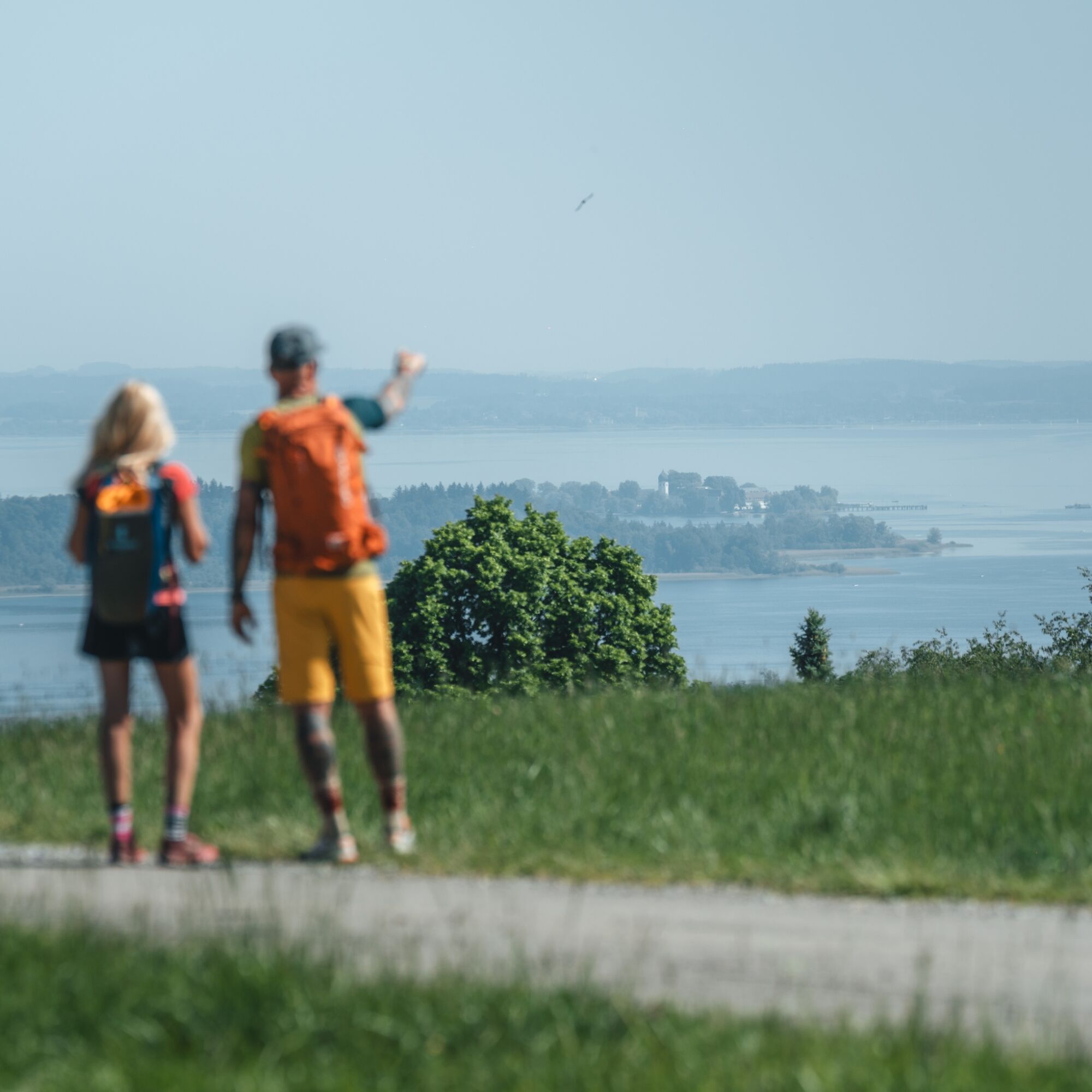

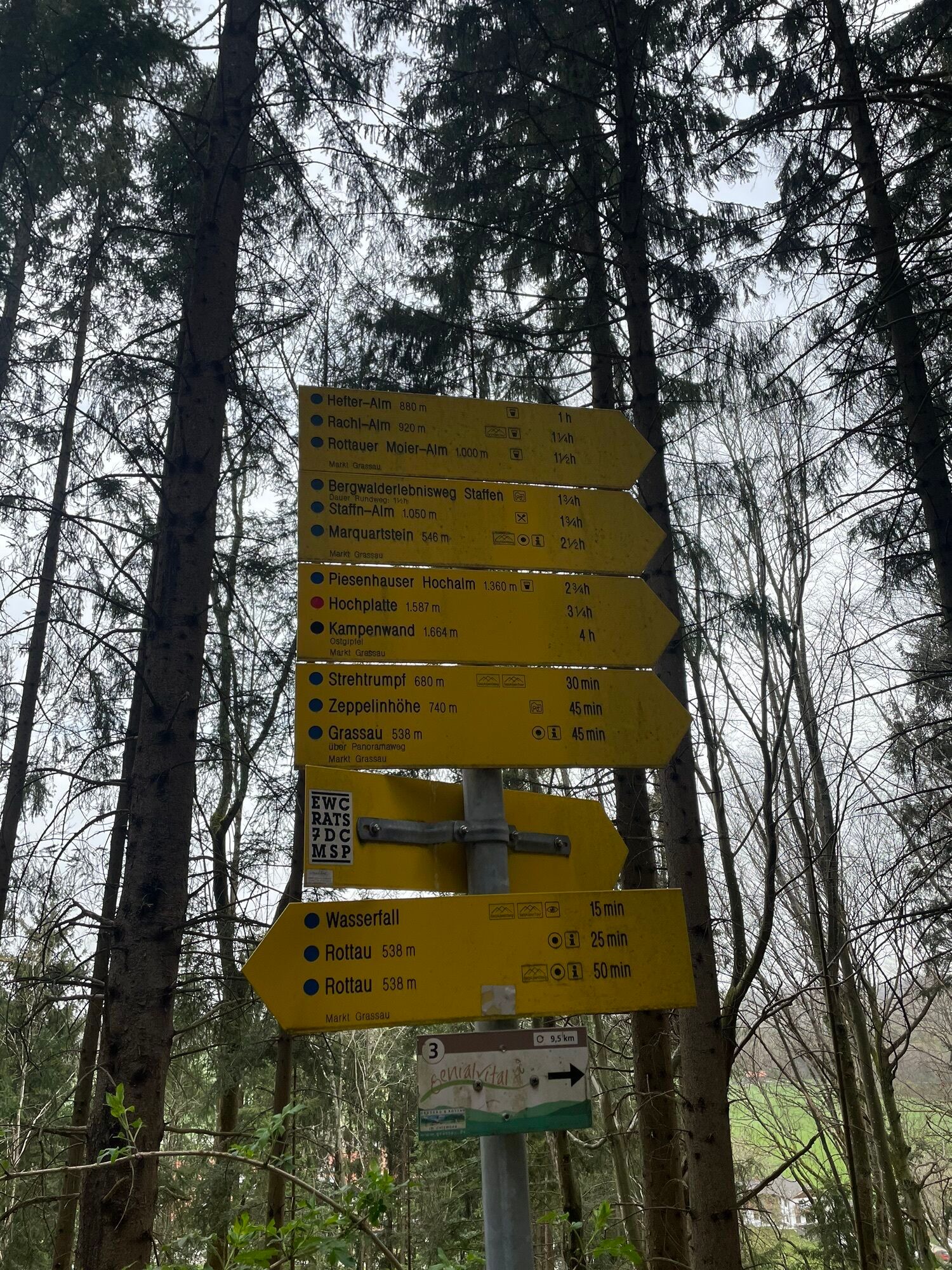
The starting point is the public parking area directly south of the church in Übersee. Facing the church from the parking area, follow the road to the left and after 50 m turn left again at the T-junction (signpost “Westerbuchberg” No. 19). After another 100 m, a signpost marked “Westerbuchberg” No. 20, 21 points right into Hocherlacher Straße. After a further 100 m, the road forks again: both roads lead to Westerbuchberg, but you take the left-hand road (signpost “Westerbuchberg” No. 20, 21). Passing meadows and woodland, you reach a small settlement where the hiking trails split again: both paths again lead to Westerbuchberg, but the variant to the right via the “Kirchenwegerl” (No. 21, 19, 20) is the more scenic route. Continue for about 400 m along the road beside the forest edge, then a hiking path (“Kirchenwegerl”) branches off left into the forest, climbing rather steeply up to Westerbuchberg and its hamlet of the same name. A visit to the local Church of St. Peter and Paul, a cultural and historical gem, is highly recommended.
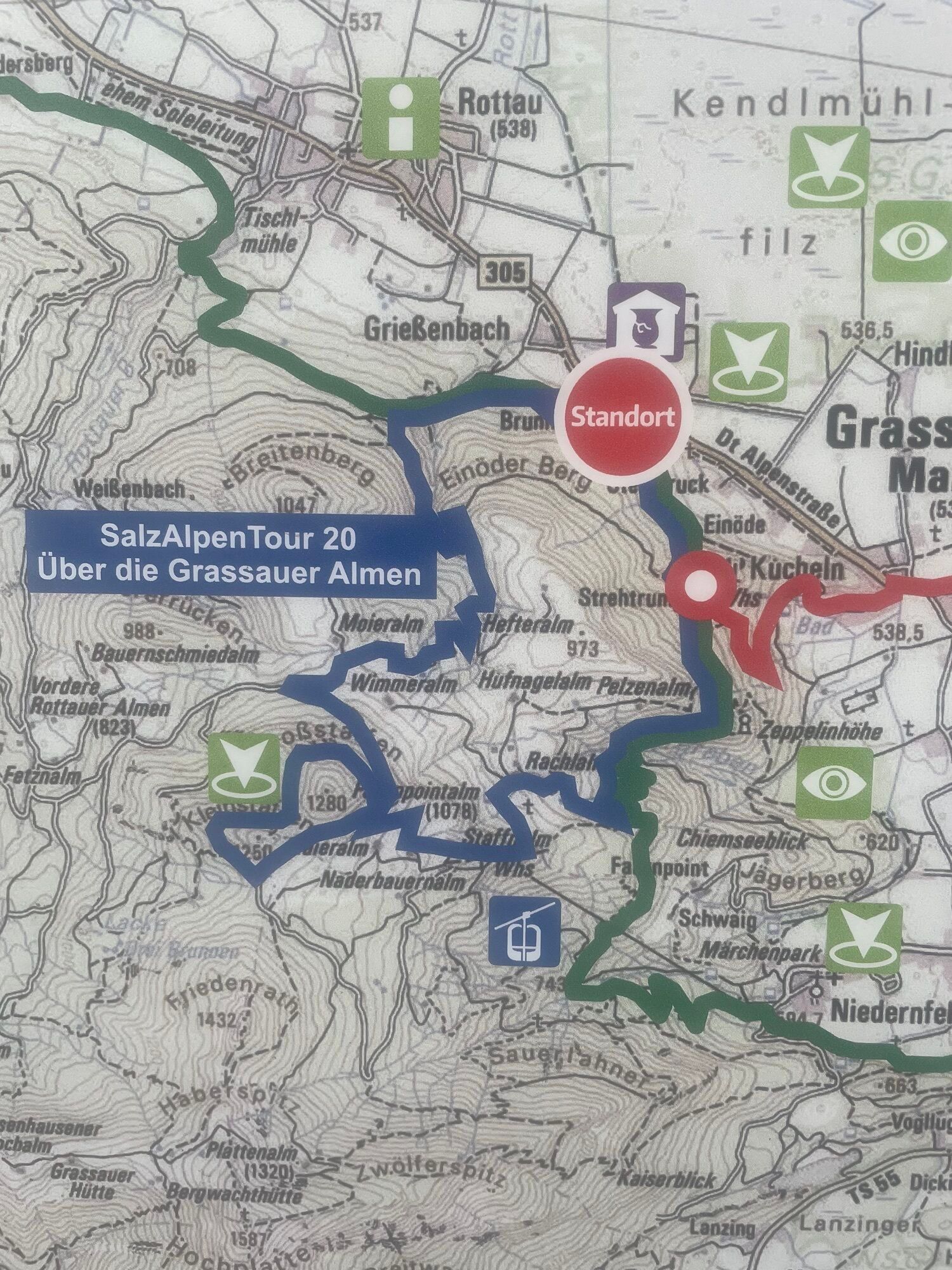
For 50 m, follow the asphalt road to the right, then immediately turn left onto the hiking trail towards “Grassau” No. 20, 23. The path descends from Westerbuchberg through forests and meadows. At the bottom, the trails divide once more: instead of continuing left towards Grassau, follow the field track right towards Rottau (No. 21), first through meadows and then forest until another junction. You now enter the beautiful Kendlmühlfilzen raised bog: here, turn left onto the wonderful boardwalk trail, once again somewhat confusingly signposted towards “Grassau” (No. 02), through the bog forest. At the next fork, turn right onto a broader trail towards “Grassau.” After a while, the path bends sharply left and becomes narrower again. You now cross the heart of the raised bog – paradoxically on an old railway embankment that has been made easily walkable with bark mulch. In earlier times, peat was extracted on a large scale from the Kendlmühlfilzen bog, as documented by the museum at the old peat railway station (unfortunately not located directly on the Alpina Antica Trail). Along the way, you pass a viewing platform offering magnificent views across the bog landscape. After quite some time, the path becomes broader again and at a junction you turn right towards “Rottau.” After another gentle left bend, you soon reach a parking area and the end of the Kendlmühlfilzen raised bog.
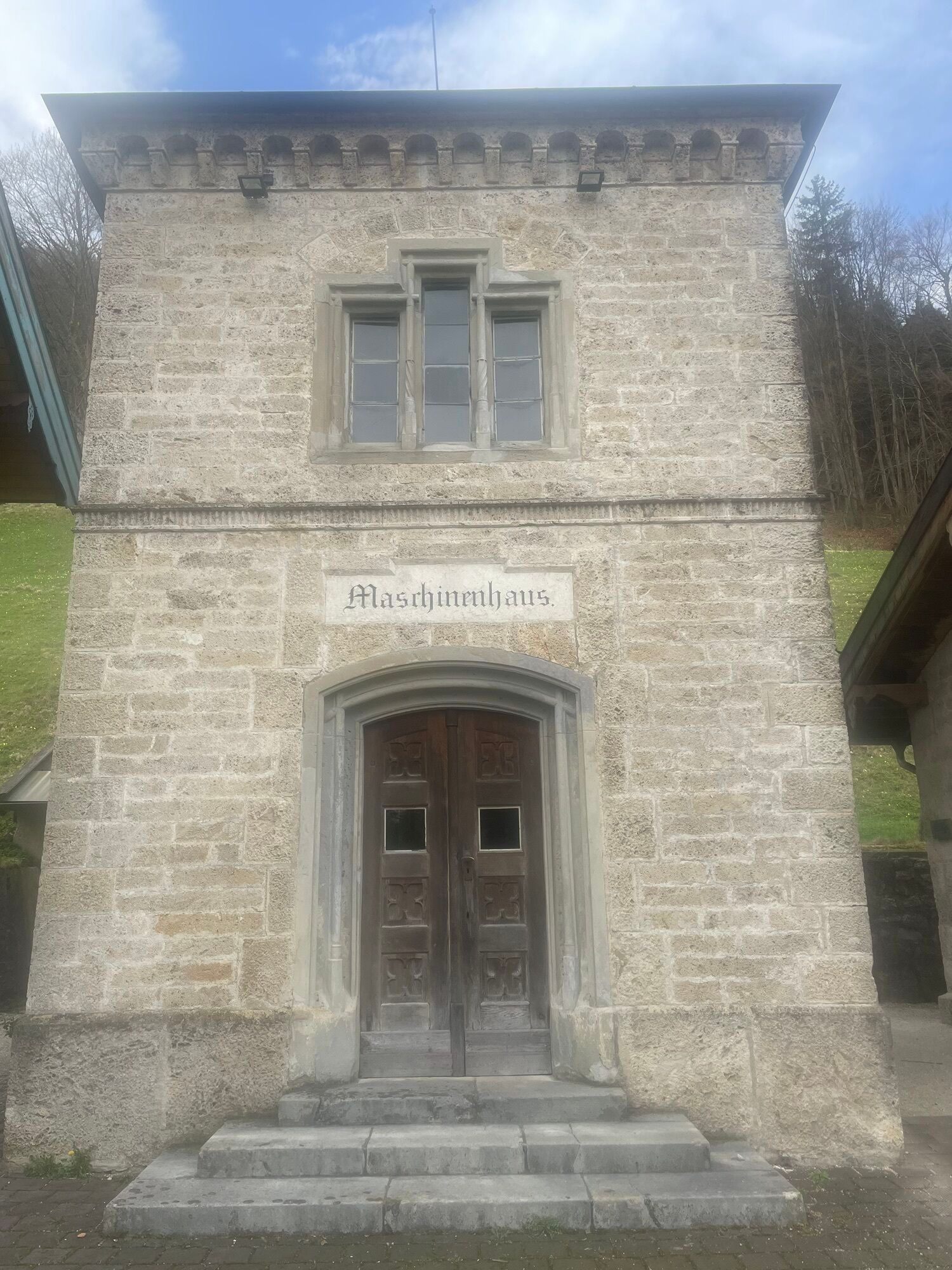
Continue straight ahead along the small asphalt road for 300 m, then – with the federal road already visible ahead – turn right onto a gravel road towards the “Salz & Moor Museum.” The small road now runs parallel to the federal road; where it bends to the right, a path branches off left towards the museum. After about 150 m, cross the federal road (beware of heavy traffic!) and you will find yourself directly in front of the Salz & Moor Museum, which is definitely worth a visit (refreshments available at the museum café).
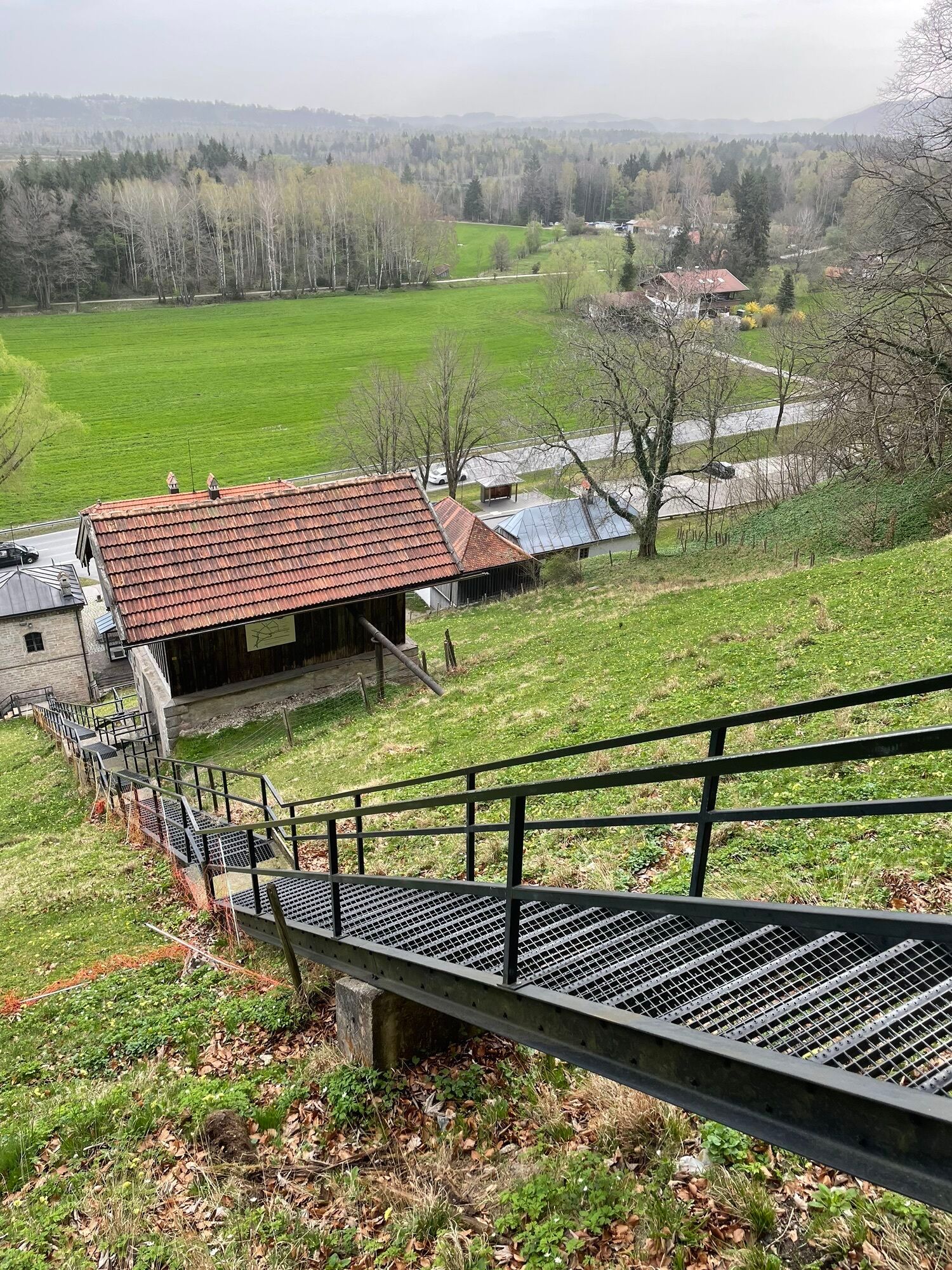
At this point on your journey along the Alpina Antica Trail to Venice, you leave the Bavarian Alpine foothills behind, as immediately beyond the museum the first pre-Alpine mountains rise steeply upwards. Passing between the buildings, climb the steep iron staircase and at the top follow the hiking trail right into the forest – along this next section, you repeatedly enjoy beautiful views of Lake Chiemsee. At the next junction, continue in the direction of “Rottau.” Soon, a narrow trail branches off left, running parallel to the wider path before rejoining it a few minutes later. Shortly afterwards, cross the stream and take the opportunity for a five-minute detour to the Rottau Waterfall.
Back from the detour, continue up the steep trail towards “Moier-Alm.” After around 80 metres of ascent, you reach a forest road, which you follow downhill to the right towards “Rottau Mühlwinkel.” After a while, following a left-hand bend, the paths divide again: both lead to Rottau, but you choose the left path (a fork with a new forest road shortly afterwards is not yet signposted – take the right-hand option there). Passing through a small ravine and climbing briefly on the other side, you reach a small asphalt road. Turn left uphill along the road to a hiking car park. At the end of the parking area, the roads divide again: the right-hand, partly concreted road climbs towards Adersberg. After a few minutes, a forest road joins from the right. Above the junction (slightly to the right), a hiking path begins, continuing left roughly parallel above the road towards Adersberg (the final metres to the beautifully situated Berghotel Adersberg are again on the road).
Passing between the buildings on the left, you arrive at further signposts: both routes lead to Herrenalm – you follow the left-hand, more natural path. It climbs gently past fish ponds. Soon afterwards, a forest and meadow trail branches off right, leading up to a saddle with an alpine farm track. Cross the track and descend for about five minutes along a faintly visible trail to Herrenalm. A stop at this managed alpine hut is highly recommended!
Continue straight past the hut (currently without a signpost in this direction) downhill along meadow and later forest paths to a junction. Cross the bridge to the right and follow the broad hiking path towards “Seiserhof/Seiseralm.” The trail descends gently above the Wolfsschlucht gorge and after some time reaches a small asphalt road. Following the road to the right towards “Seiserhof/Seiseralm,” ignore a branching road to the left and after about 10 minutes reach your stage destination of “Gschwendt” near the Seiserhof.
T2
Highlights of the mule trade:
Kendlmühlfilzen raised bog (47.79926331570608, 12.447706111162686)Kendlmühlfilzen is Bavaria’s largest contiguous raised bog. It impresses with its unique bog landscape, rare animal and plant species, and wonderful walking trails along which the raised bog and the history of peat extraction are explained (you walk for a while on old railway tracks right through the middle of the bog).
Salt & Moor Museum (47.785200785705506, 12.426988728835846)
Located directly on the Alpina Antica Trail, the Salt & Moor Museum tells the story of peat extraction in the Kendlmühlfilzen and the close connection between the moorland landscape and the salt trade in the region. Historical machinery, models and interactive exhibitions provide insights into life and work in the moor in days gone by. The museum café also invites you to stop for a break.
Church of St. Peter and Paul on Westerbuchberg (47.81010, 12.46297)
Located close to the route, this church is considered one of the oldest churches south of Lake Chiemsee. The Romanesque structure was built in the 12th/13th century, and parts of the original masonry from that period are still visible today. During the Gothic era, the church was rebuilt and expanded. Particularly fascinating are the uncovered Gothic frescoes. The combination of these ancient frescoes and the various wooden sculptures gives the church a vivid historical depth and an impressive art-historical significance.
From the church, visitors can enjoy magnificent views over the Achental valley, the Kendlmühlfilzen raised bog, the Chiemgau Alps, and the Wilder Kaiser mountains.
Webcams del recorrido
-
Kampenwandbahn
-
Aschau im Chiemgau - Cafe Pauli
-
Märchen-Erlebnispark Marquartstein
-
Kampenwandbahn
-
Kampenwandbahn
-
Kampenwandbahn
-
Kampenwandbahn
-
Kampenwandbahn
-
Bernau am Chiemsee
-
Bernau am Chiemsee - Hittenkirchen
-
Kampenwand
-
Staffn Alm
-
Chiemseepark Bernau
-
Rottau - Hoderhof
-
Marquartstein /Schnappenberg
-
Kampenwandbahn
-
Almau - Tiroler Achen
-
Grassau
-
Bernau-Felden am Chiemsee
-
Übersee
Infórmate
Siempre en directo con más de 9.500 webcams. bergfex Como usuario Pro, ahora puede ver las webcams correspondientes a muchos tours en la app de tours desde. Esto le permite ver las condiciones actuales directamente.
Rutas populares en los alrededores
-
5,0
Priener Hütte
medioSenderismo 7,99 km -
4,6
Geigelstein
medioSenderismo 14,5 km -
4,6
Kampenwand
medioSenderismo 4,35 km -
4,6
Hochgern
medioSenderismo de montaña 15,1 km -
4,5
Samerberg - Hochries
medioSenderismo 8,97 km -
4,4
Hochgernhaus
medioSenderismo 15,1 km -
4,3
Der Schmugglerweg von Kössen zum Klobenstein
luzSendero temático 7,23 km -
4,7
CHIEMGAU: Hörndlwand (1684m), Gurnwandkopf (1691m)
luzSenderismo 12,6 km -
4,6
Wandertour Hochgern
medioSenderismo de invierno 14,7 km -
4,8
Hochfelln ab Glockenschmiede und zurück über Farnbödenalmen
medioSenderismo 13,1 km
Senderismo y rastreo


No se pierda las ofertas y la inspiración para sus próximas vacaciones
Su dirección de correo electrónico se ha añadido a la lista de correo.





