


Durchs Katzental


Durch das Katzental Beschaffenheit: Forst- und Wirtschaftswege Wir starten am Bahnhof in Oberau, überqueren die Bahngleise, fahren nach rechts und anschließend über die Loisachbrücke weiter zum Golfplatz....
Durch das Katzental
Beschaffenheit: Forst- und Wirtschaftswege
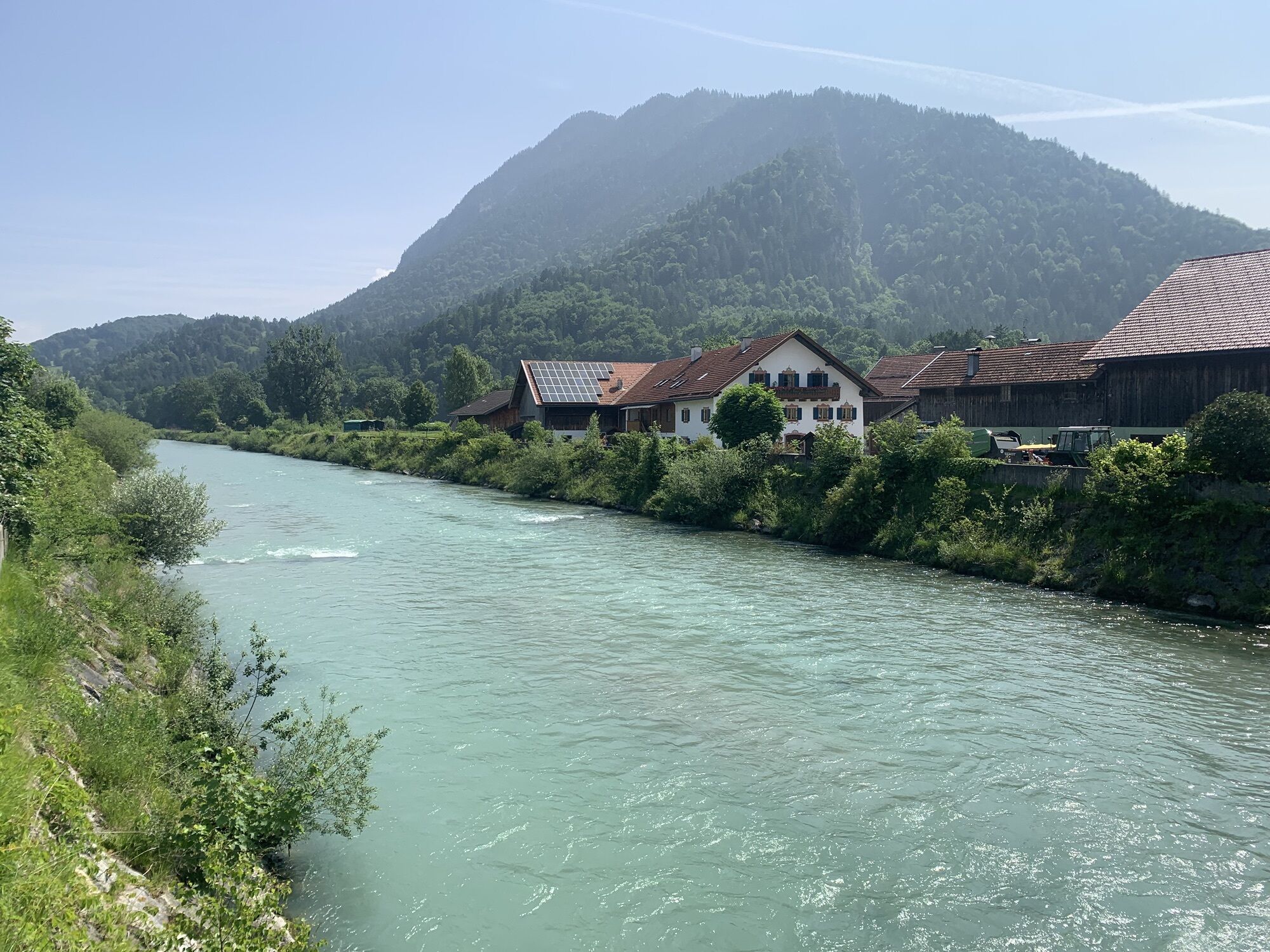
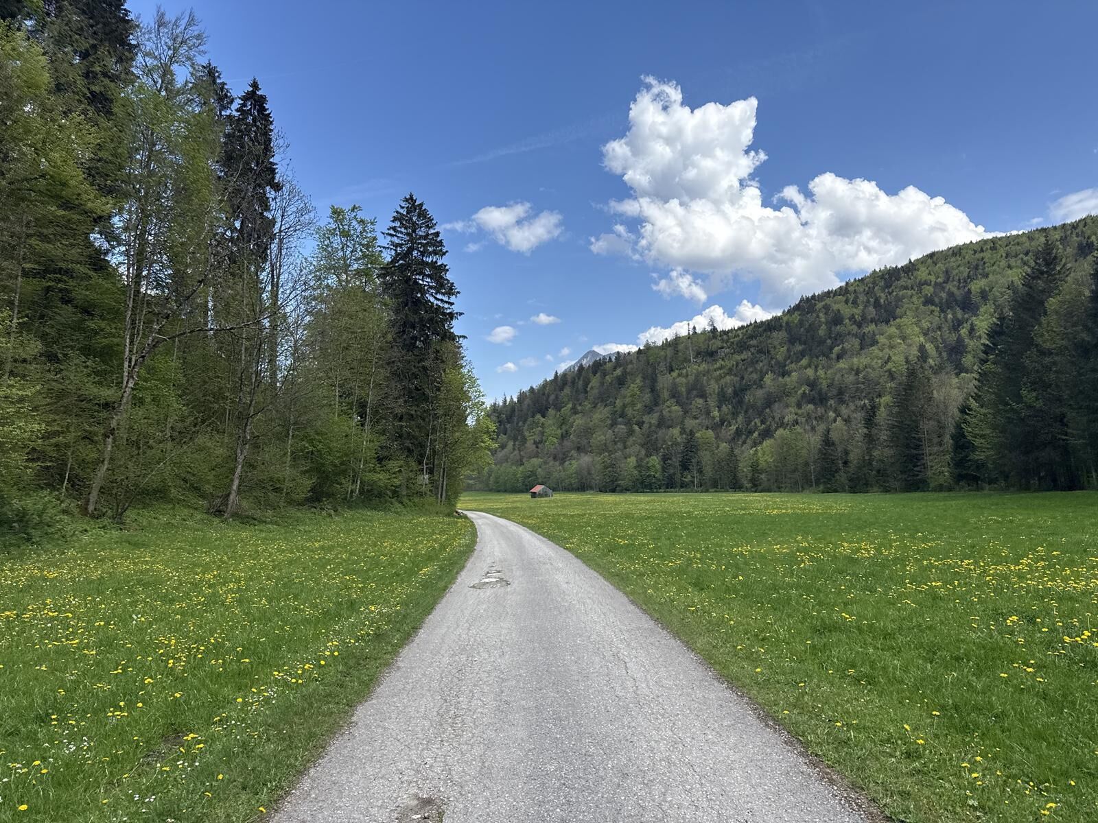
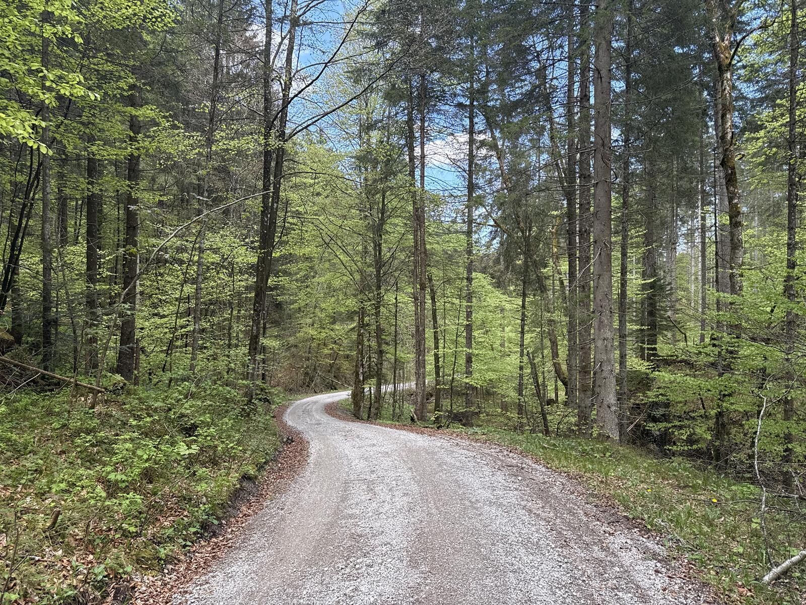
Wir starten am Bahnhof in Oberau, überqueren die Bahngleise, fahren nach rechts und anschließend über die Loisachbrücke weiter zum Golfplatz. Nach dem wir über eine kleine Brücke den Waldrand erreicht haben, auf einer guten Forststraße über die „Sieben Quellen“ bis nach Eschenlohe. Dort über die Loisachbrücke geradeaus weiter, biegen wir nach ca. 200 m in der Rechtskurve nach links, Richtung neuer Friedhof – Höllenstein/Katzental ab. Unter der Bundesstraße und Autobahn hindurch, vorbei an einem einzelnen Gehöft verlassen wir das freie Gelände. Die Teerstraße geht über in eine teils schotterige Forststraße, der wir entlang der „Auer Laine“ durch das „Katzental“ folgen. Diese Forststraße läßt uns keinen Rhythmus finden, denn kurze Anstiege wechseln ab mit ebenso kurzen Ebenen und rasanten Abfahrten. Vorbei am Oberauer Freibad erreichen wir nach dieser abwechslungsreicher Fahrt wieder unseren Ausgangpunkt.


Zugspitzland Radkarte - Kosten 2 Euro
BAB München - Garmisch-Partenkirchen - 5 km nach dem Autobahnende
Rutas populares en los alrededores
-
4,5
Ruta de montaña - Teufelstättkopf
medioSenderismo 10,8 km -
4,4
Heimgarten-Herzogstand Rundwanderung
medioSenderismo 13,3 km -
4,2
Wank
medioSenderismo de montaña 12,7 km -
4,8
Schafkopf
luzSenderismo 10,2 km -
4,4
Kuhfluchtwasserfälle
medioSenderismo 1,32 km -
4,4
Wank / Garmisch-Partenkirchen
medioSenderismo 11,8 km -
4,6
Ruta de montaña - Laber sobre Soilasee
luzSenderismo 11,8 km -
4,9
Kramerspitz (Rundtour)
medioSenderismo 14,5 km -
4,4
Excursión de montaña - Kofel
medioSenderismo 11,3 km -
4,7
Murnauer Moos
luzSenderismo 11,5 km

Senderismo y rastreo


No se pierda las ofertas y la inspiración para sus próximas vacaciones
Su dirección de correo electrónico se ha añadido a la lista de correo.