


Winterwandern auf Birkendorfs Höhen
Desde Bühl, la montaña local de Birkendorf, se tiene una vista maravillosa del Hotzenwald, el Alto Rin y Suiza. Con un poco de suerte, incluso podrás ver los Alpes suizos.

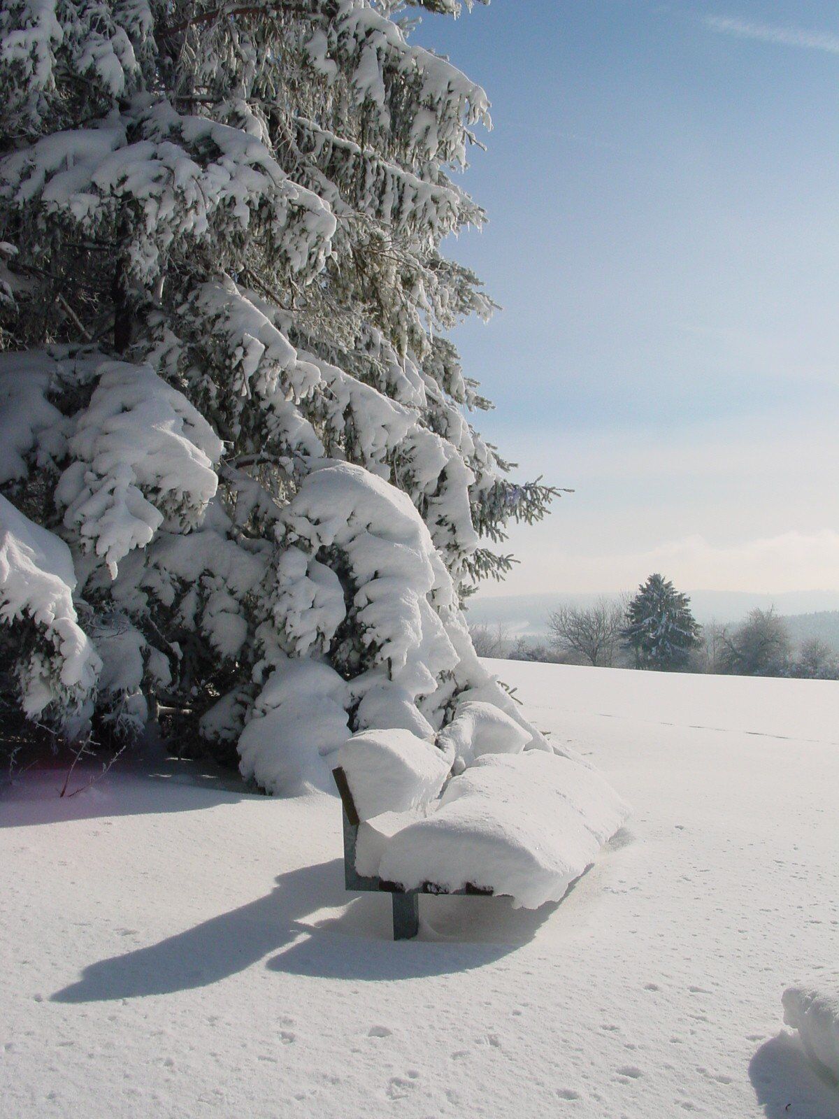
The tour starts in the center of Birkendorf at the Haus des Gastes, where you can also use public toilets during opening hours. Follow the country road for a short distance in the direction of Grafenhausen. You will soon come to the Hotel Sonnenhof. Opposite the hotel, turn left into Hohlgasse. The path leads you down into the Schlüchttal valley. At the end of the Hohlgasse, turn right into the street “Im Tal”, follow it for a while until you turn right again into Rötelbachweg. At the end of this path, walk left along Schwarzwaldstraße for a while until you turn right again into Hägelmattenweg. Keep to the right here until the path turns into Horbener Straße. At the end of Horbener Straße, keep left and walk a short distance along the country road until you turn right again onto a hiking trail. From this path, you can make a detour to the 840 m high Bühl. Continue along the hiking trail until you reach Bühlstraße, which you follow to the right in the direction of Birkendorf. Keep left at the end of the road and turn into Schwarzwaldstraße, which you follow to the starting point at the Haus des Gastes.
Sí
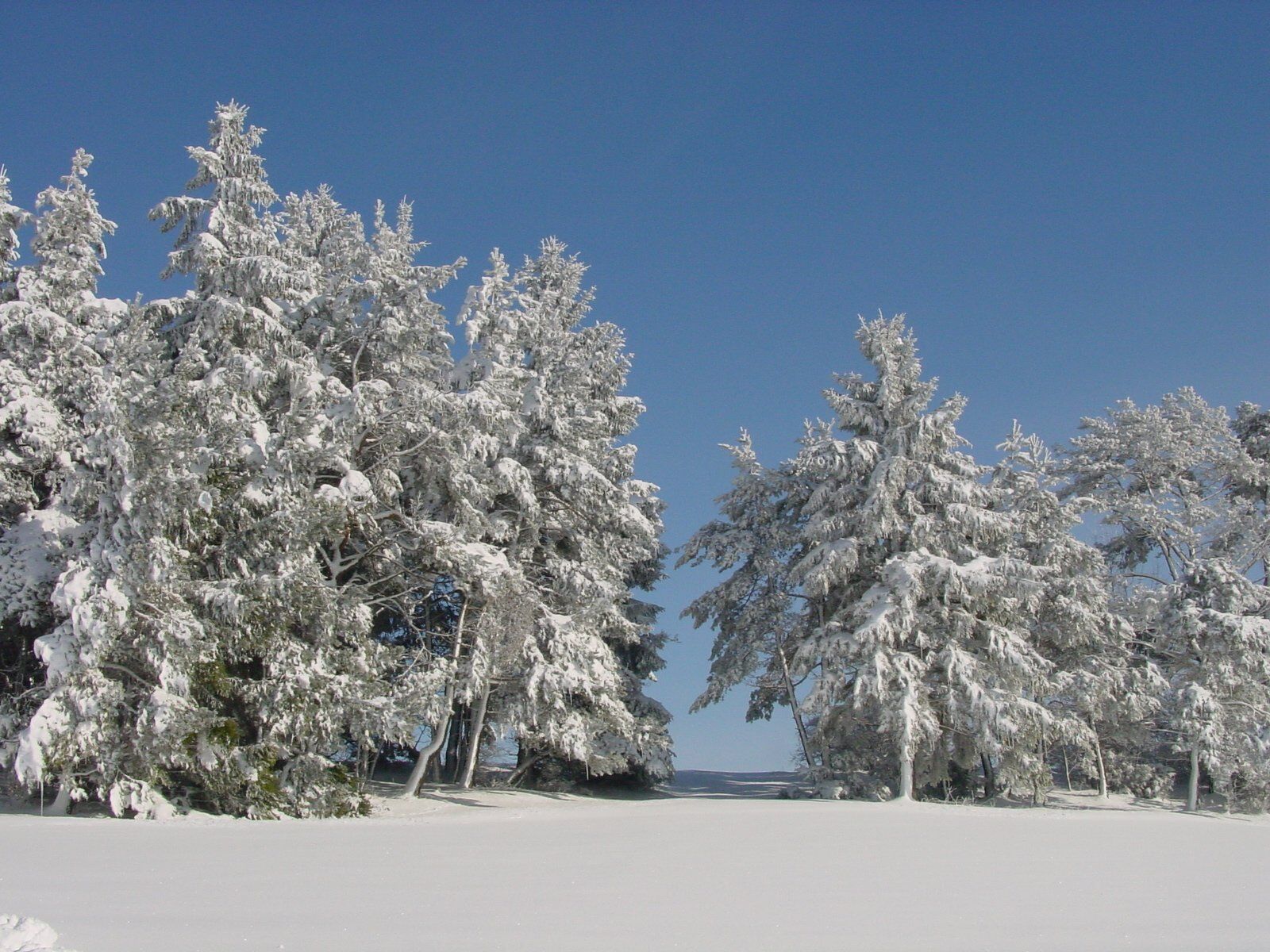
We recommend winterproof equipment!
Slippery conditions in thawing weather.
Please pay attention to the signs on the hiking trail and the corresponding walking direction. You can find precise and detailed information about the signposts and the hiking guidance system on our homepage: The hiking ABC (hochschwarzwald.de). In emergencies, please call 112.
Restaurants in the area and their opening hours can be found under Food & Drink.
A stop at the Sonnenhof & Sonnhalde. Here you can fortify yourself and then unwind in the wellness area.
Rutas populares en los alrededores
-
4,7
Wutachschlucht Rundwanderung im Süd Schwarzwald
medioSenderismo 9,76 km -
5,0
Genießerpfad - 3-Schluchten Tour
medioSendero temático 9,62 km -
4,7
Seerundweg Schluchsee
medioSenderismo 17,7 km -
5,0
Wutachschlucht+Lotenbachklamm
luzSenderismo 10,0 km -
4,0
Schluchten, Steige & Kultur
medioSenderismo 12,1 km -
3,5
Genießerpfad - Rappenfelsensteig
medioSendero temático 12,9 km -
4,5
Genießerpfad - Rötenbachschlucht
medioSendero temático 10,1 km -
5,0
Genießerpfad - Schluchseer Jägersteig
medioSendero temático 11,5 km -
4,4
Wutach, Deutschland
medioSenderismo 14,6 km -
5,0
Berau - Ruinen, Felsen & Schluchten
medioSenderismo 9,71 km
Senderismo y rastreo


No se pierda las ofertas y la inspiración para sus próximas vacaciones
Su dirección de correo electrónico se ha añadido a la lista de correo.