


Winterliche Tour vom Schlüchttal nach Grafenhausen
Nivel de dificultad: 1
El recorrido le llevará desde la Tannenmühle de Schlüchttal hasta el centro de Grafenhausen y viceversa.

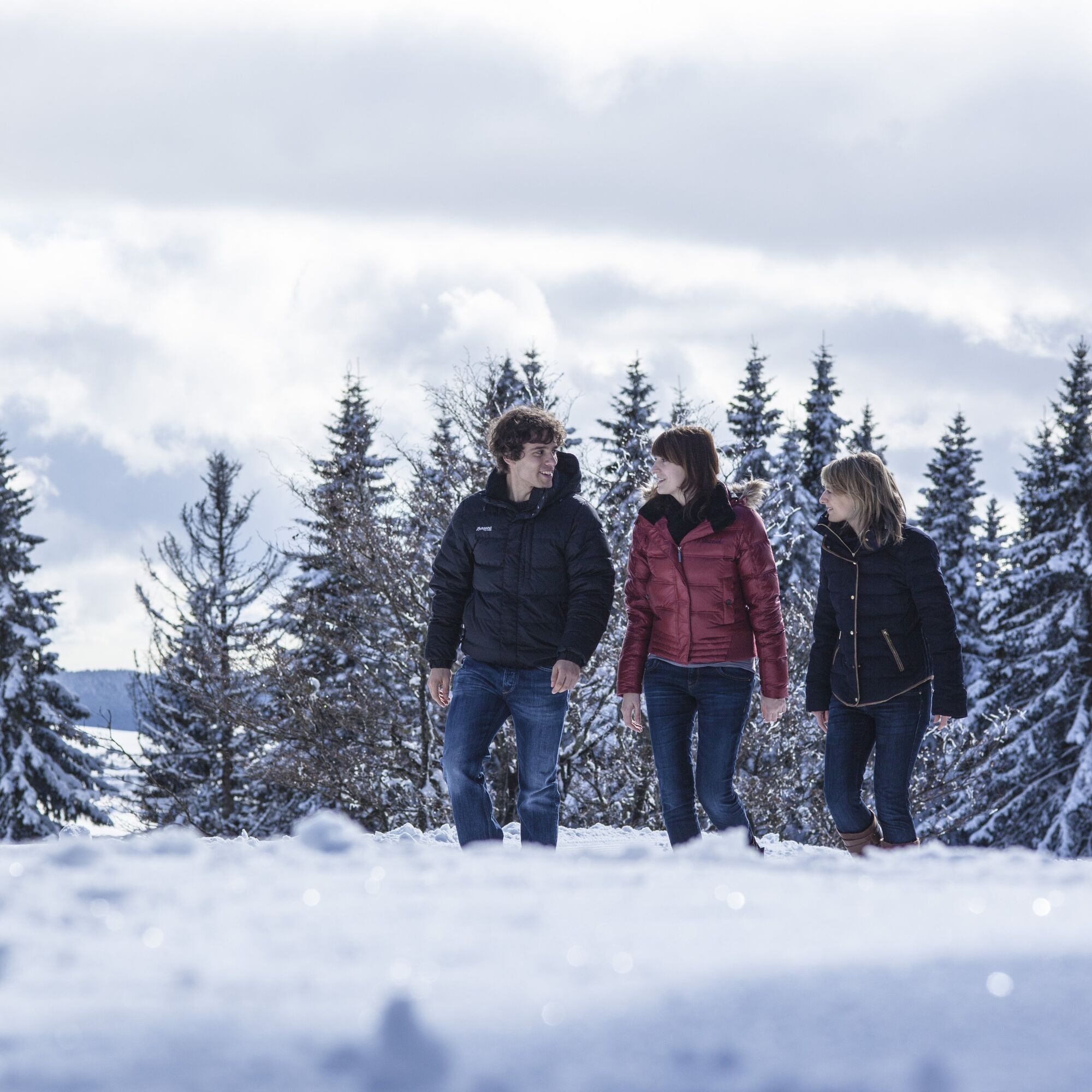
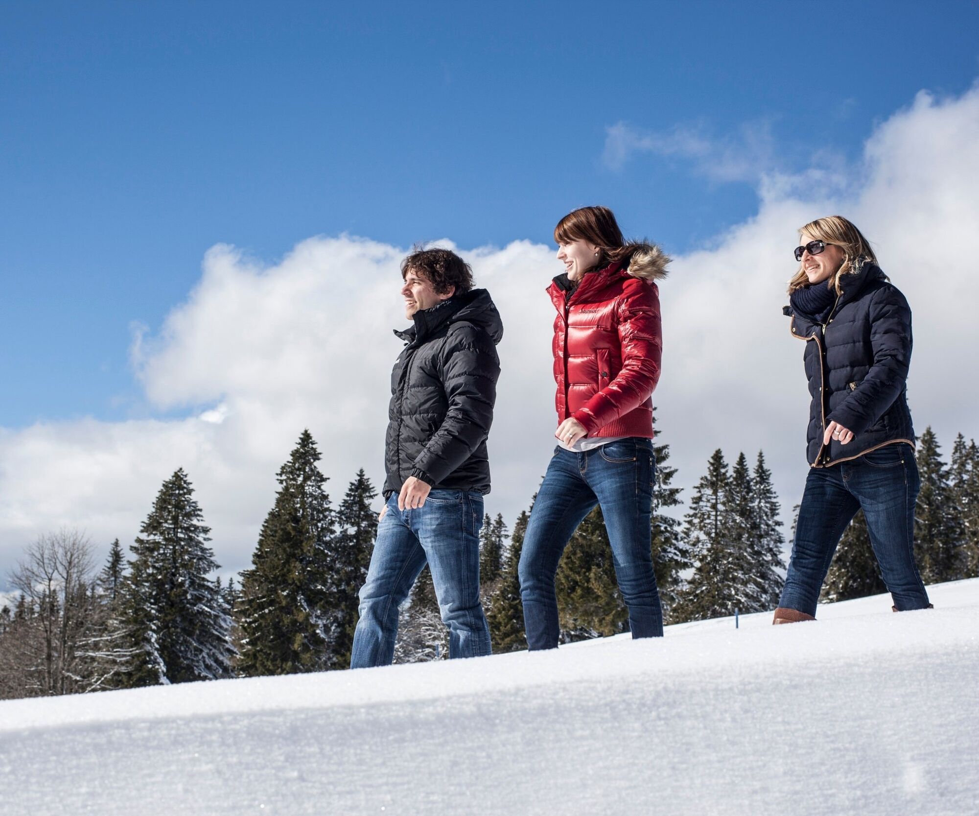
The starting point of this winter tour in the Schüchttal is the Tannenmühle. A narrow road leads you uphill. Before the last ascent, turn left onto the Promenadenweg. As soon as you reach the country road, keep left again and follow the unteren Mühlenweg to Grafenhausen. Pass the village center and follow another section of the Promenadenweg in the direction of Schüchstee. Keep right at the next crossroads. Via the Schüchtseeweg, you first come to the Vorderer Kapfweg. Follow this for just a few meters until you turn left onto Äußere Kapfweg. After a few minutes, you reach the Landstaße again, which you cross and then walk back down to the Schlüchttal.
Sí
We recommend winterproof equipment!
Slippery conditions in thawing weather.
Please pay attention to the signs on the hiking trail and the corresponding walking direction. You can find precise and detailed information about the signs and the hiking guidance system on our homepage: The hiking ABC (hochschwarzwald.de). In emergencies, please call 112.
Getting to the start point
Travelling by public transport
1
You can find more restaurants and their opening times under Food & Drink.
Cold noses can be warmed in the Black Forest House of the Senses, which is located in the center of Grafenhausen. Here, young and old become explorers. Your own senses are brought to life in the exciting world of experience on three floors with special exhibits. Further information can be found here www.schwarzwaldhausdersinne.de.
Rutas populares en los alrededores
-
4,7
Wutachschlucht Rundwanderung im Süd Schwarzwald
medioSenderismo 9,76 km -
5,0
Genießerpfad - 3-Schluchten Tour
medioSendero temático 9,62 km -
4,7
Seerundweg Schluchsee
medioSenderismo 17,7 km -
5,0
Wutachschlucht+Lotenbachklamm
luzSenderismo 10,0 km -
4,0
Schluchten, Steige & Kultur
medioSenderismo 12,1 km -
3,5
Genießerpfad - Rappenfelsensteig
medioSendero temático 12,9 km -
4,5
Genießerpfad - Rötenbachschlucht
medioSendero temático 10,1 km -
5,0
Genießerpfad - Schluchseer Jägersteig
medioSendero temático 11,5 km -
4,4
Wutach, Deutschland
medioSenderismo 14,6 km -
5,0
Berau - Ruinen, Felsen & Schluchten
medioSenderismo 9,71 km
Senderismo y rastreo


No se pierda las ofertas y la inspiración para sus próximas vacaciones
Su dirección de correo electrónico se ha añadido a la lista de correo.