






Winterwanderung zur Todtnauer Hütte
Nivel de dificultad: 3

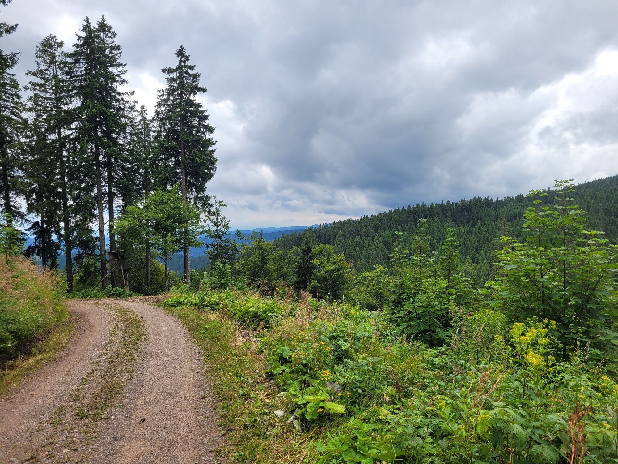
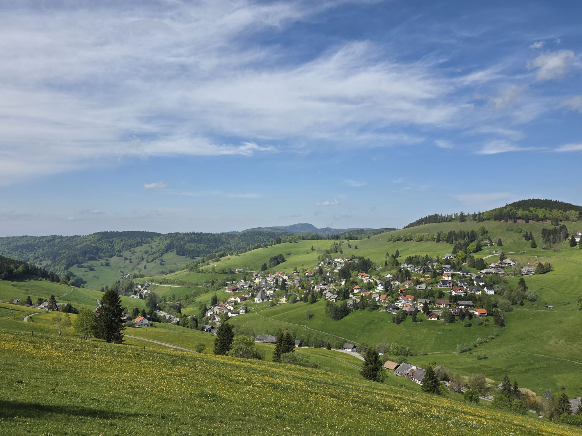
Una fantástica excursión invernal le espera en las crestas de la Selva Negra entre Todtnauberg y la cumbre del Feldberg. En el camino de Radschert a Berger Höhe le esperan las atracciones de la asociación...
Una fantástica excursión invernal le espera en las crestas de la Selva Negra entre Todtnauberg y la cumbre del Feldberg. En el camino de Radschert a Berger Höhe le esperan las atracciones de la asociación "Liebenswertes Todtnauberg". De camino a la capilla de Fátima del Todtnauberg, la ruta de senderismo le lleva junto a grandes sillas XXL desde las que se disfruta de una hermosa vista. Al llegar a las Feldbergsträßle, se atraviesan hermosos bosques invernales cubiertos de nieve hasta la Todtnauer Hütte, donde se puede parar a comer algo. A continuación se sube al banco más largo del mundo hasta la cumbre de Stübenwasen. Una vez allí, le espera una vista sobrecogedora del Todtnauberg, el valle del Wiesental con el Belchen y, en un día despejado, una vista de la cadena alpina. Finalmente, pasará por el Viscope y regresará al punto de partida de su excursión circular.

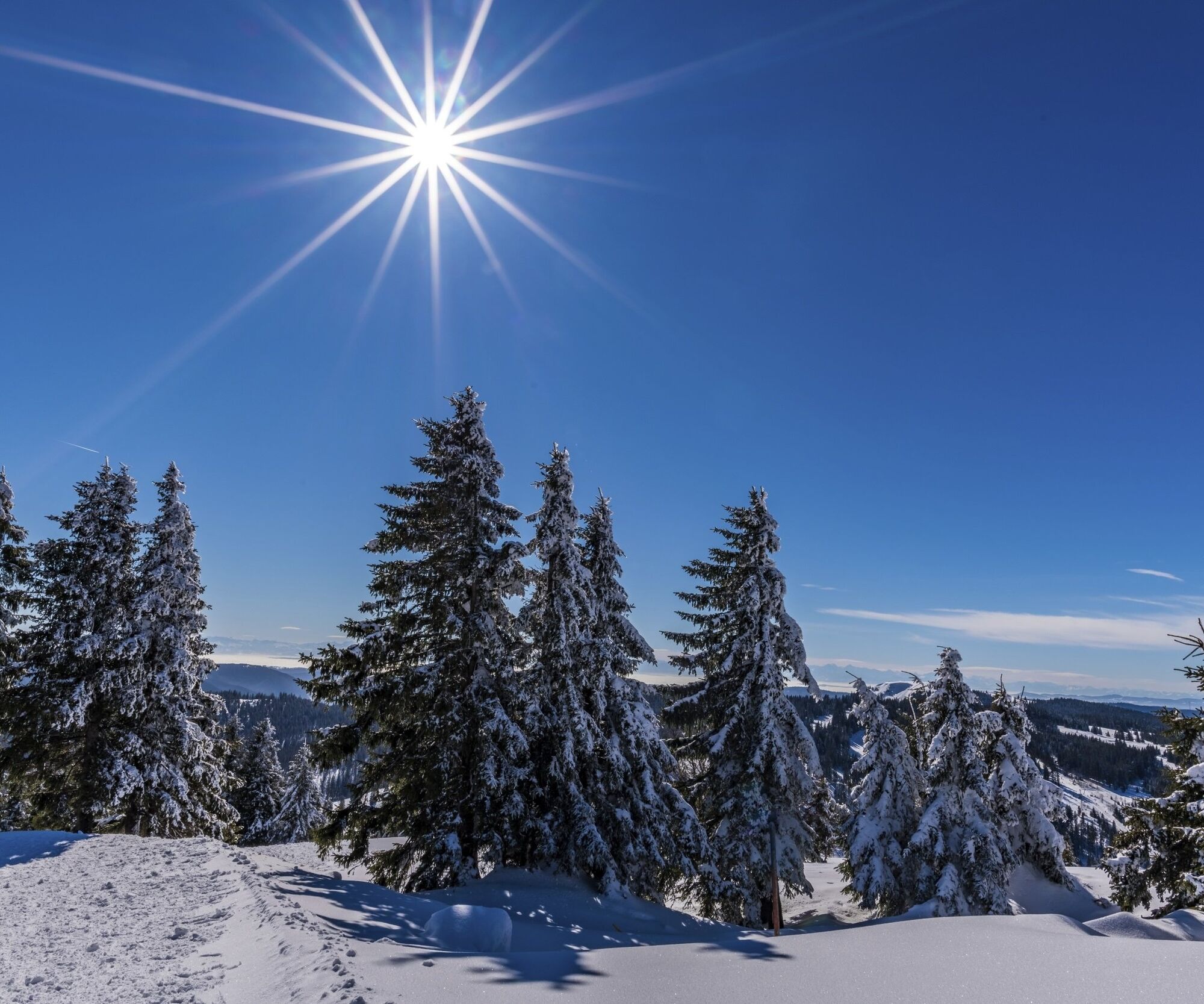
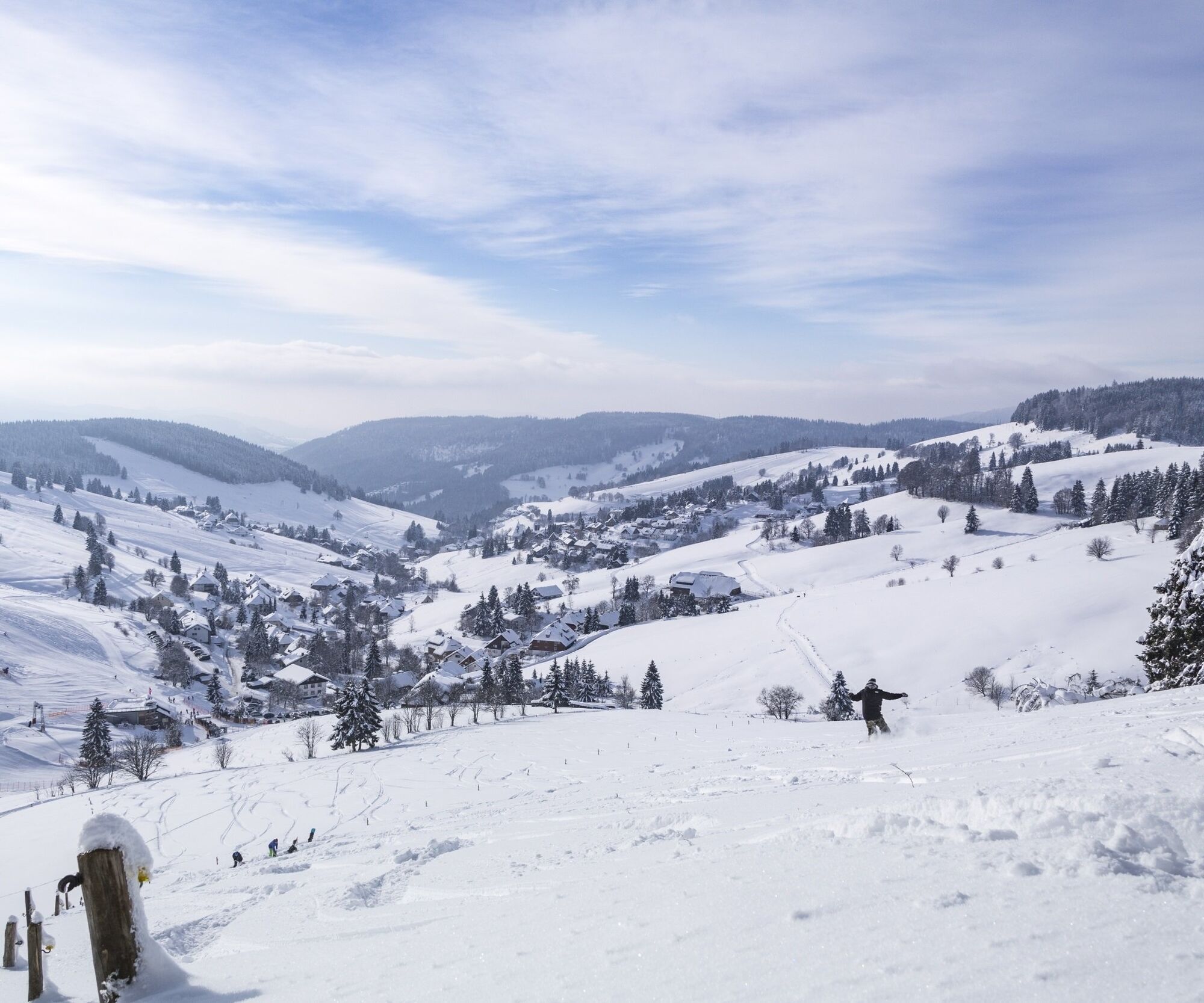
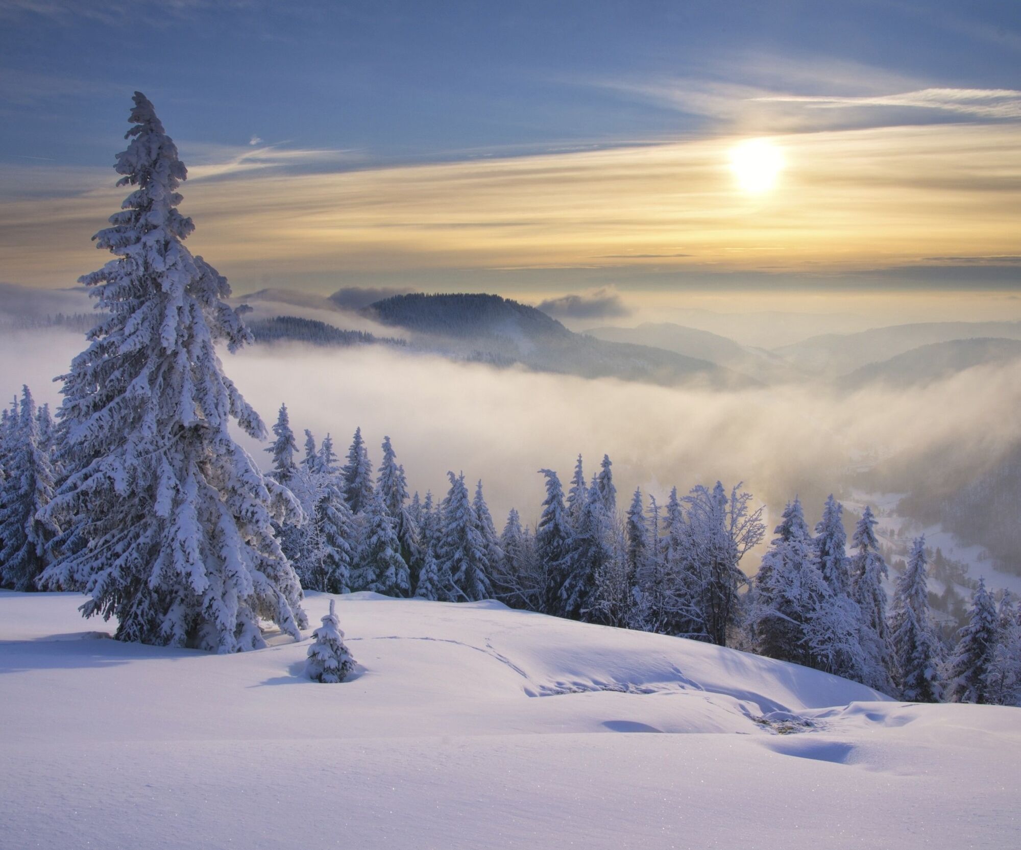

You start your circular hike at the Radschert hiking car park in Todtnauberg and follow the white Black Forest Association signs in the direction of the Jakobuskreuz, which you reach after around 500 metres. The path divides here and you keep right on the Martin-Heidegger-Rundweg towards Berger Höhe. You arrive there after around 3.5 kilometres and turn left onto the Feldbergsträßle. Follow the winter trail signs no. 8 through snow-covered winter forests up to the Todtnauer Hütte, which you will reach after around 4.5 kilometres at the end of the Feldbergsträßle. Here you have the opportunity to stop for refreshments. Refreshed, follow the winter trail signposts no. 3 to Stübenwasen. After a short but steep ascent, you will reach the summit and the longest bench in the world. From there, turn left downhill and walk along the Lachenwasenweg past the Jakobuskreuz cross to return to the Radschert.
Sí
Winter equipment is recommended.
Please note: In winter you will cross the Stübenwasen and Kapellenlift ski runs a total of four times. Please watch out for skiers and snowboarders when crossing the piste.
Please note that the snow clearance and preparation of the trails depends on the snow and winter conditions and not all trails can be cleared or prepared at the same time.
3
On the way from Radschert to Berger Höhe, you will find great attractions organised by the "Liebenswertes Todtnauberg" association. One of these is the Viscope, which awaits you at the start of the winter walk. This is a new type of viewing tube that shows you the exact names and heights of the individual peaks in the Swiss Alps, provided you can see them from here in good visibility.
Webcams del recorrido
-
Feldbergturm Seebuck Gipfel
-
Todtnauberg - Pension Glöcklehof
-
Todtnauberg - Haus Keller
-
Feldberg - Grafenmatt I
-
Todtnau - Aftersteg
-
Todtnau - Aftersteg
-
Seebuck Bergstation
-
Todtnauberg - Bucklift
-
Seebuck Talstation
-
Talstation Winkellift
-
Menzenschwander Hütte - Feldberg
-
Menzenschwander Hütte - Feldberg
-
Skilifte Stollenbach
-
Scheuermatthof
-
Stollenbach
-
Haldenköpfle - Talstation Lift 2
-
Todtnauer Hütte
-
Haldenköpfle - Talstation Lift 1
-
Haldenköpfle - Talstation Lift 1
-
Feldberg - Fahl
-
Todtnauberg
-
Todtnauer Hasenhornturm
-
Todtnauer Hasenhornturm
-
Todtnauberg Stübenwasenlift
-
Todtnauberg
Infórmate
Siempre en directo con más de 9.500 webcams. bergfex Como usuario Pro, ahora puede ver las webcams correspondientes a muchos tours en la app de tours desde. Esto le permite ver las condiciones actuales directamente.
Rutas populares en los alrededores
-
4,7
Heimatpfad Hochschwarzwald- Mühlen und Sägen in der Schlucht
medioSenderismo 7,42 km -
3,9
Seerundweg Titisee
luzSenderismo 5,84 km -
4,2
Höhenklimaweg Titisee-Rundweg
medioSenderismo 7,44 km -
4,2
Belchensteig
medioSenderismo 14,8 km -
4,9
Sonnenaufgang und Feldbergsteig
medioSenderismo 11,6 km -
3,8
Genießerpfad - Säbelthomaweg
medioSendero temático 11,3 km -
4,2
Ravennaschlucht
Senderismo 6,90 km -
4,9
Todtmoos – Wanderung: Genießerpfad Lebküchlerweg
medioSenderismo 12,8 km -
5,0
Genießerpfad - Menzenschwander Geißenpfad
medioSendero temático 9,78 km -
4,7
Seerundweg Schluchsee
medioSenderismo 17,7 km
Senderismo y rastreo


No se pierda las ofertas y la inspiración para sus próximas vacaciones
Su dirección de correo electrónico se ha añadido a la lista de correo.





