






Barrierefreie Wanderung zur Katharinenhöhe

La excursión de Escheck a Katharinenhöhe y vuelta es una ruta cómoda y sin barreras. El camino, en buen estado, atraviesa un suave paisaje forestal y es ideal para personas en silla de ruedas y familias...
La excursión de Escheck a Katharinenhöhe y vuelta es una ruta cómoda y sin barreras. El camino, en buen estado, atraviesa un suave paisaje forestal y es ideal para personas en silla de ruedas y familias con carritos de bebé. Por el camino, podrá disfrutar del tranquilo entorno natural y llegar a la clínica de rehabilitación de Katharinenhöhe, donde podrá tomarse un descanso antes de regresar a Escheck por la misma ruta relajada.
Nota: Como la Katharinenhöhe es una clínica de rehabilitación para niños y jóvenes con cáncer, no es posible parar para tomar un refrigerio por motivos de salud e higiene.

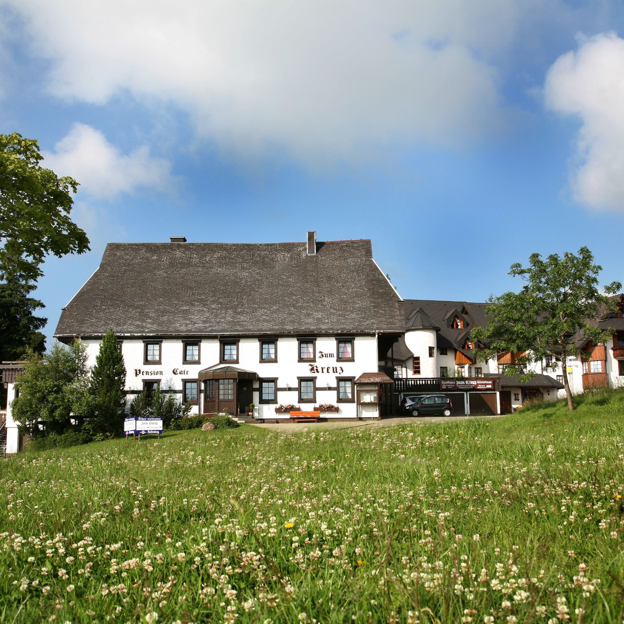
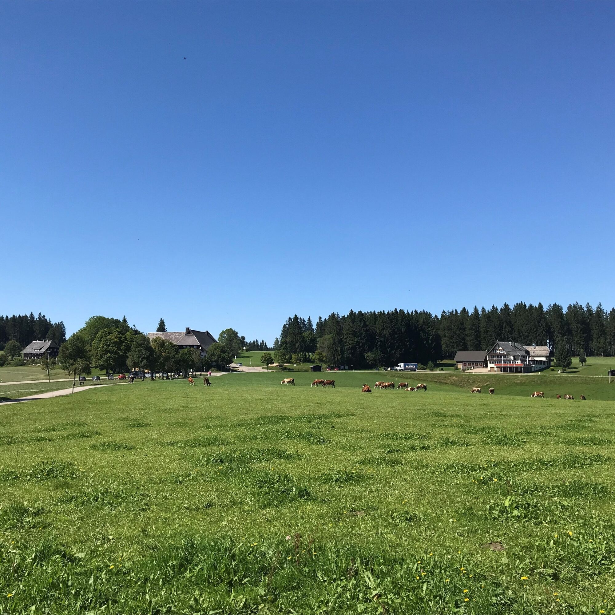
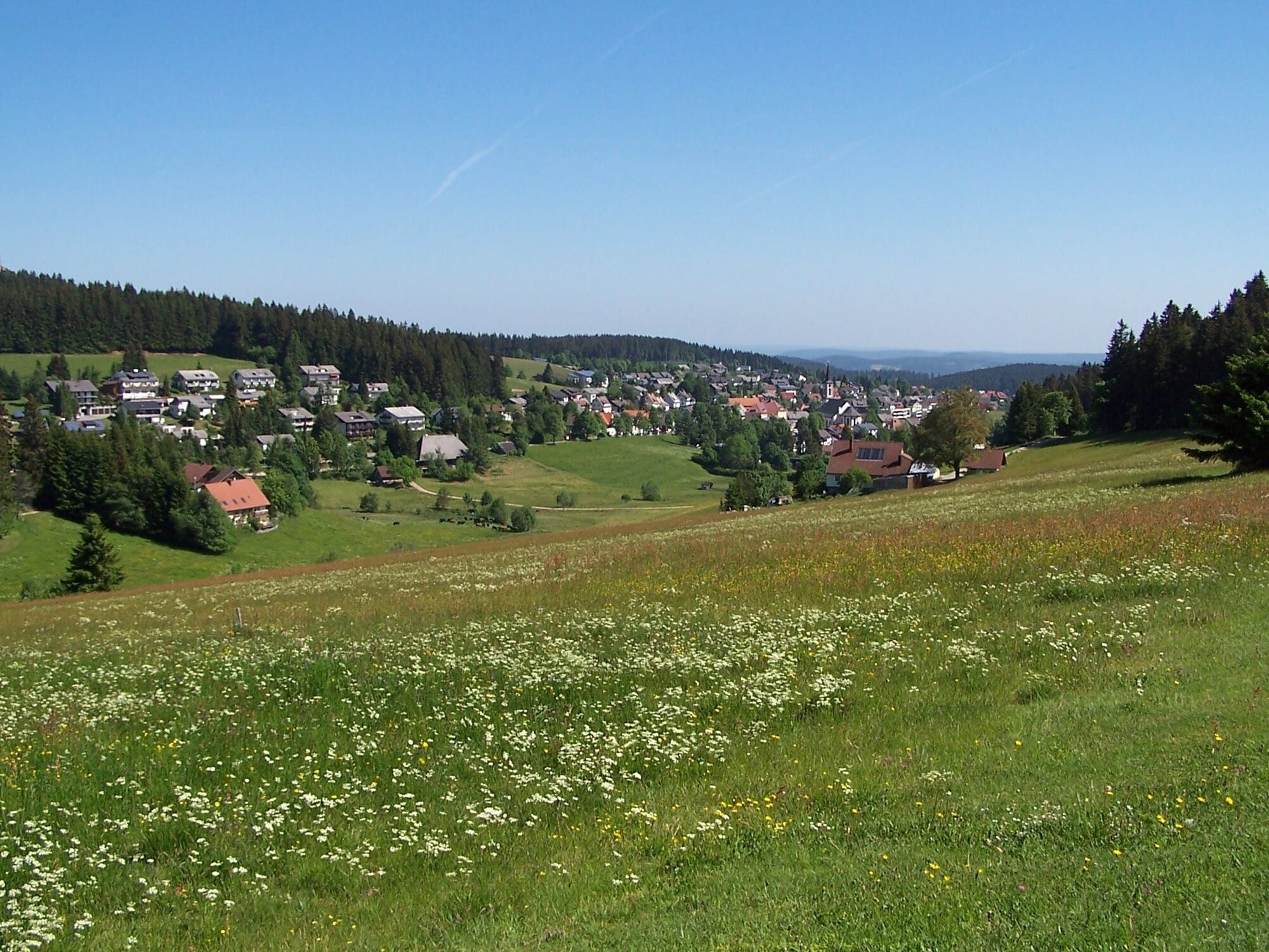
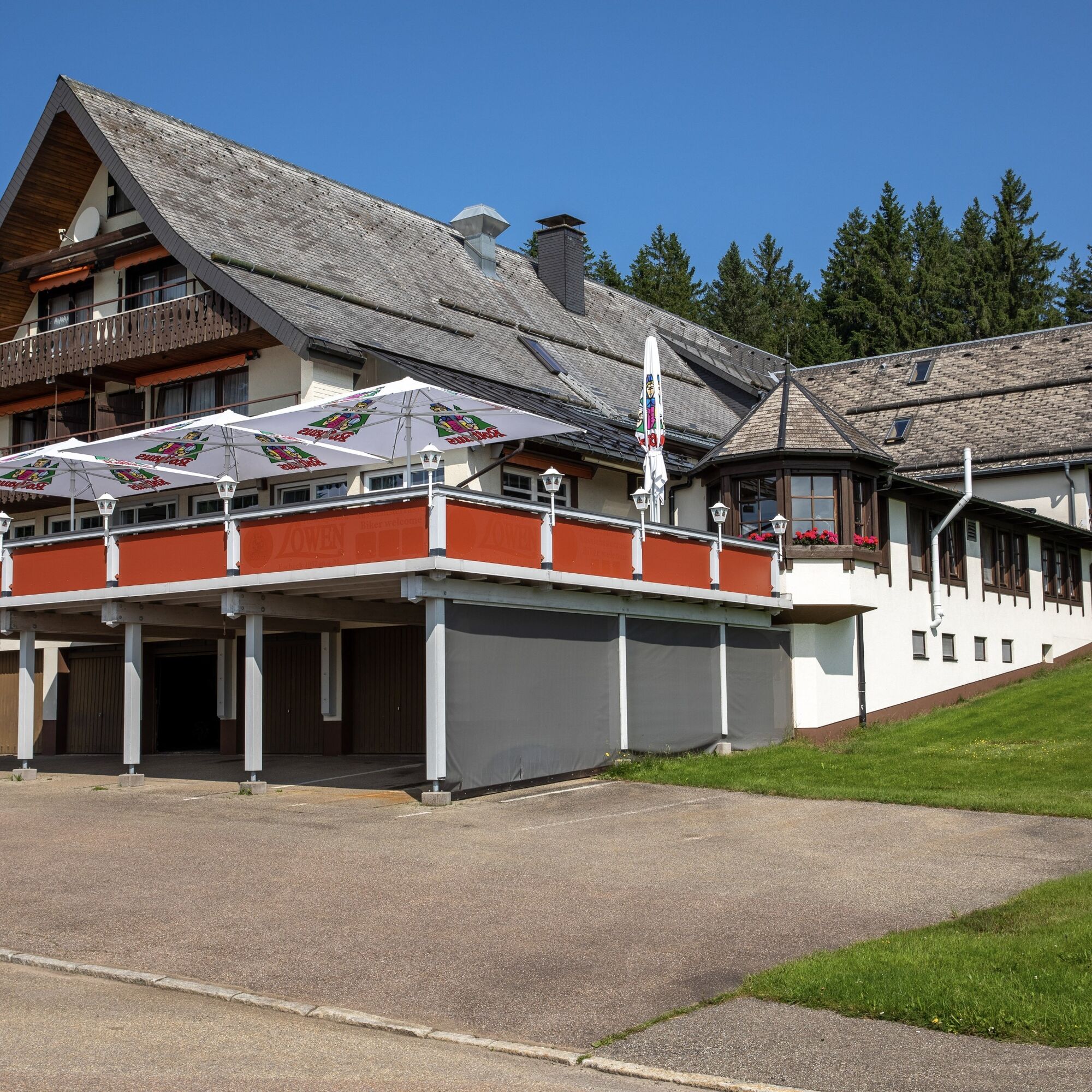
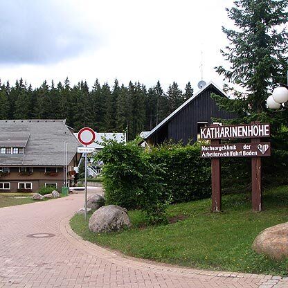

From the car park, follow the road past the former Gasthof zum Kreuz and continue along the blue diamond sign to Katharinenhöhe. There you have the option of walking a little further through the forest until the trail goes downhill again. Here, or at the Katharinenhöhe, you turn around and return to the car park.
Sí
Sí
Sí
Sí
Good footwear, clothing suitable for the weather, drinks and possibly small rucksack provisions are recommended for all tours.
Please pay attention to the signs and the recommended walking direction on the hiking trail. You can find more precise and detailed information about the signposts and the hiking guidance system on our homepage: The Hiking ABC (hochschwarzwald.de)
In emergencies, please call 112.
Take the 550 bus to the Schönwald Escheck stop. Free travel with the KONUS guest card.
Recommendation for wheelchairs and electric wheelchairs.
Dear nature lover,
You are travelling through a unique cultural landscape that serves the owners as an economic asset and for food production.
In the interests of the owners, please stay on the signposted paths/trails and keep dogs on a lead. Thank you very much for your understanding.
Enjoy a slice of Black Forest gateau at the Schwarzwald-Patisserie Löwen (WC at ground level available, not DIN-compliant).
Webcams del recorrido

Rutas populares en los alrededores
-
4,6
Durch den mystischen Bannwald zum Zweribach-Wasserfall
medioSenderismo 12,2 km -
4,8
Rund um den Kandelgipfel mit tollen Ausblicken
medioSenderismo 7,46 km -
4,5
Potsdamer Platz - Hirschbachfälle- Zweribachfälle - Plattenhof
medioSenderismo 9,34 km -
Wanderung zu den Zweribachwasserfällen
medioSenderismo 7,32 km -
4,7
Genießerpfad - U(h)rwaldpfad Rohrhardsberg
medioSendero temático 8,72 km -
4,0
Triberger Wasserfälle naar Prizen
medioSenderismo 11,5 km -
Panoramaweg von St. Märgen nach St. Peter - Unterwegs auf dem Jakobsweg
medioSenderismo 8,63 km -
5,0
Kandel - Berg der Kräfte
medioSenderismo 16,5 km -
4,5
Panoramaweg Katzenmoos
medioSenderismo 11,0 km -
Von St. Peter über den Sägendobel auf den Kandel
pesadoSenderismo 18,4 km
Senderismo y rastreo


No se pierda las ofertas y la inspiración para sus próximas vacaciones
Su dirección de correo electrónico se ha añadido a la lista de correo.





